Category Archives: Hillfort

The small and rather puzzling Burton Point Iron Age promontory fort on the Wirral

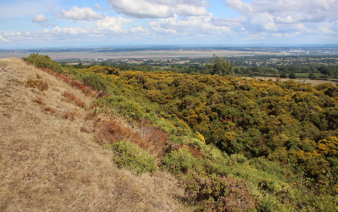
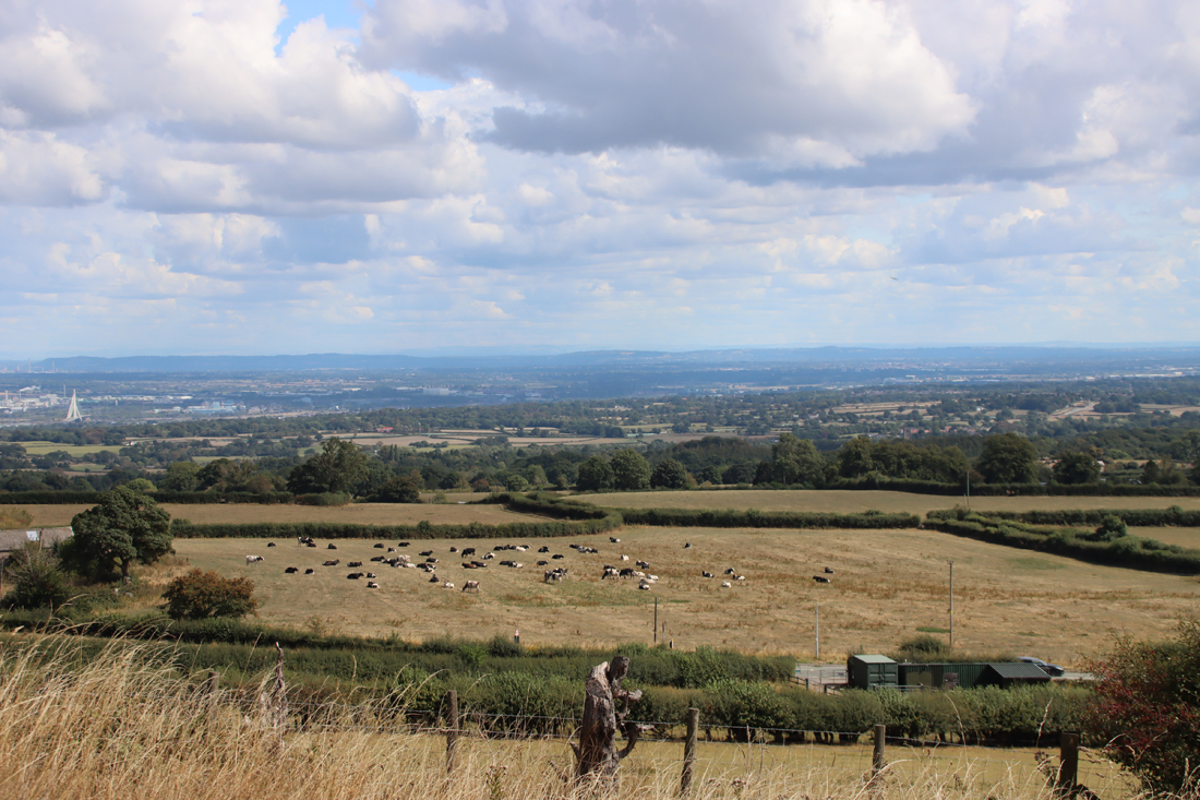
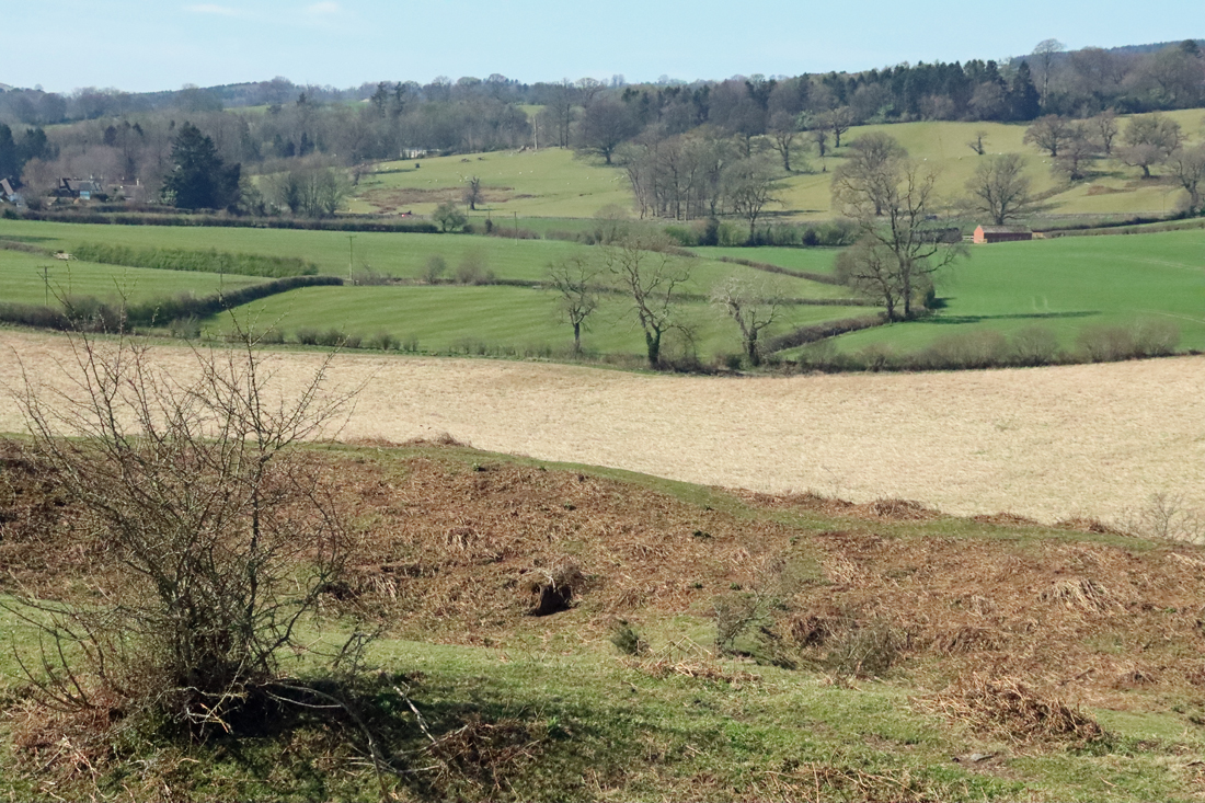
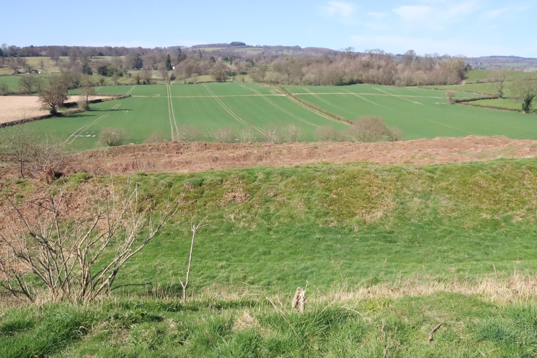
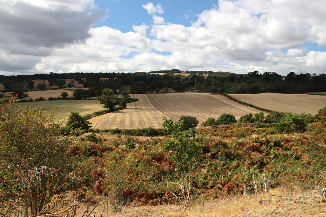
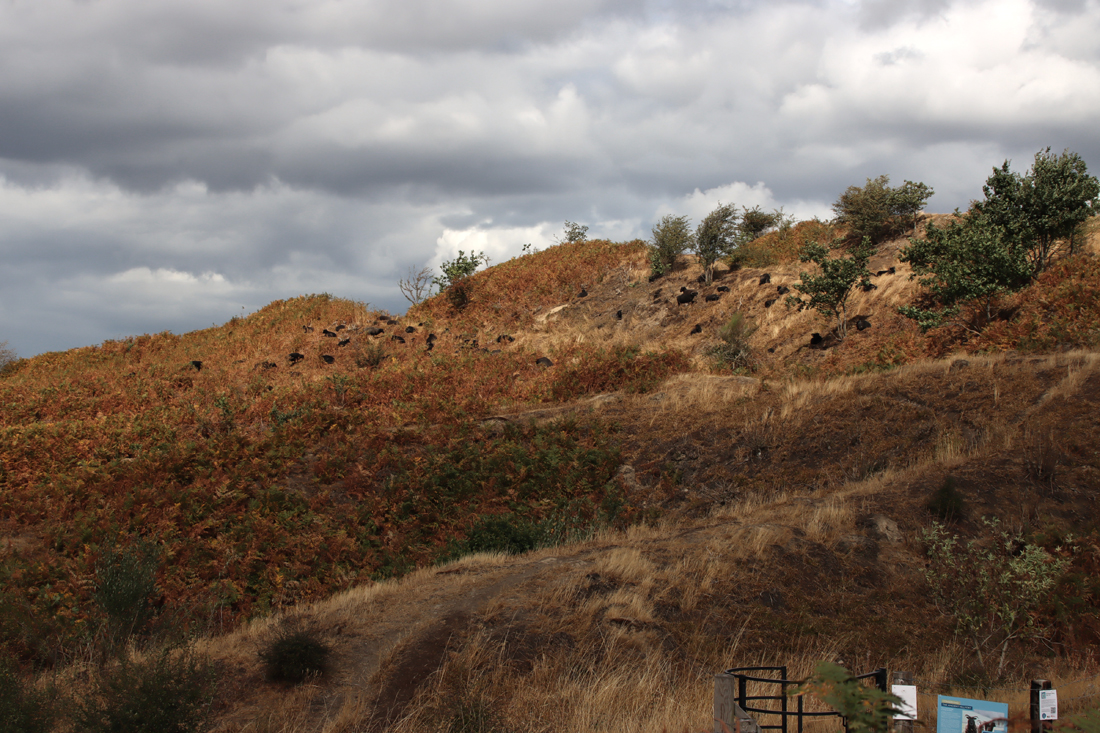
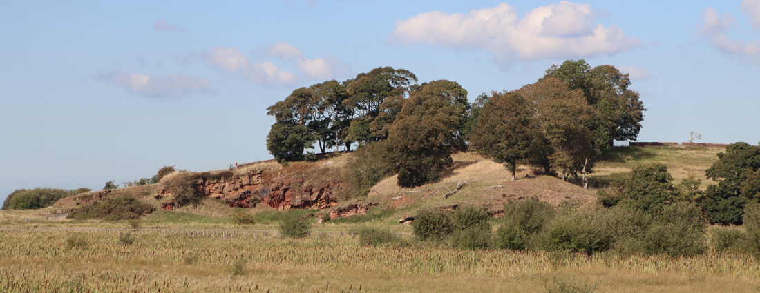
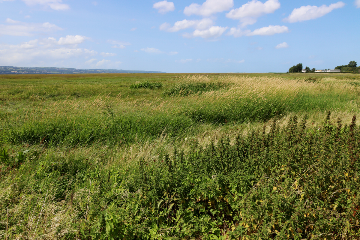
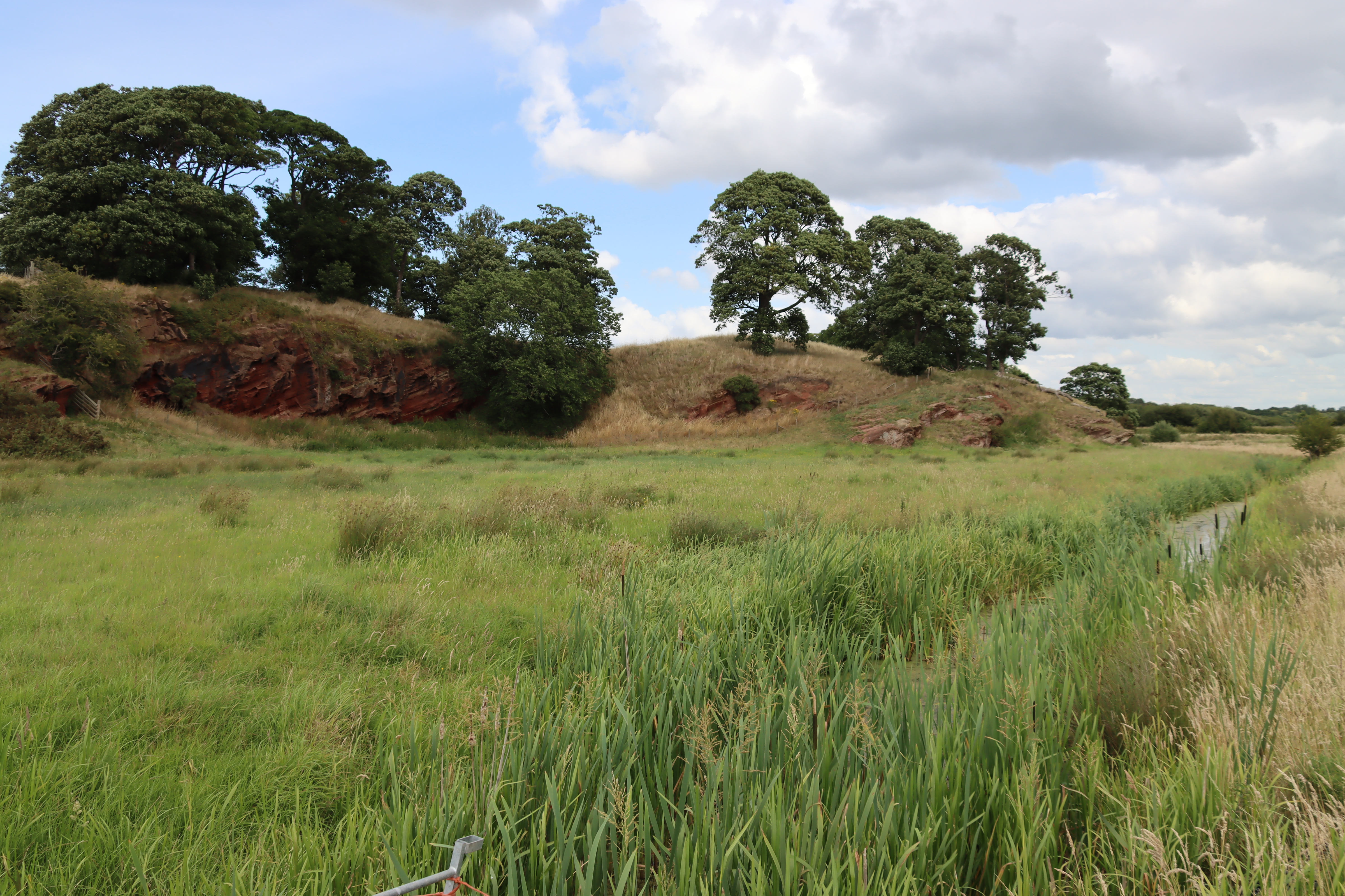
Burton Point from below

Burton Point from below

The earthworks at Burton Point have been consistently dated to the Iron Age, and the site has usually been described as a promontory hillfort. This post is about the prehistoric, medieval and post-medieval history of the site, with a particular focus on the Iron Age.

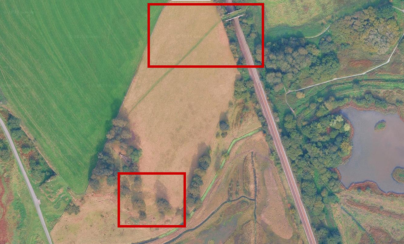
Burton Point footpaths and earthworks

The footpath over the railway leading to the viewing platform in the wooded area within the RSPB wildlife reserve, and the earthworks below. Source:  Google Maps

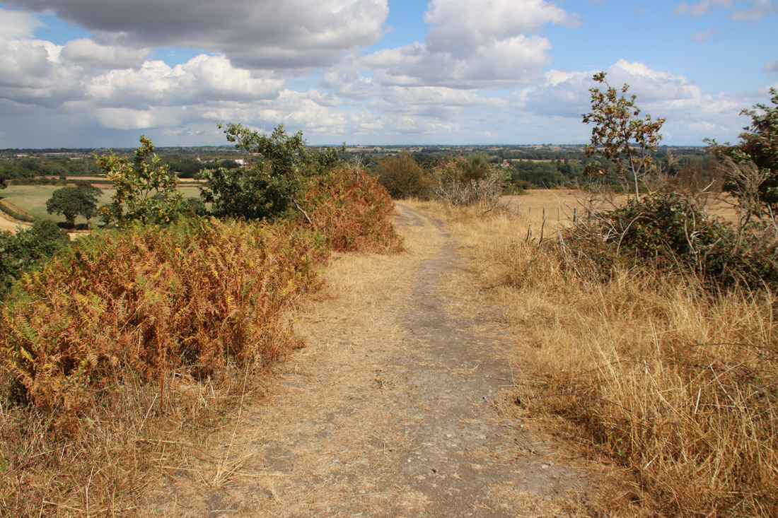
The site is located on a former promontory at the end of a headland at the western edge of the RSPB Burton Wetlands nature reserve.  You may see older websites saying that Burton Point is on private land, but this has now changed and entry to the viewing point over the defences now simply requires a ticket via the RSPB reception area.  The site is served by good footpaths and signposting and includes basic interpretation signage to give visitors some idea of what might have been there during the Iron Age.  As the RSPB reserve is really excellent (I have written about it here) it makes for a great day out even for people who are not particular bird aficionados.

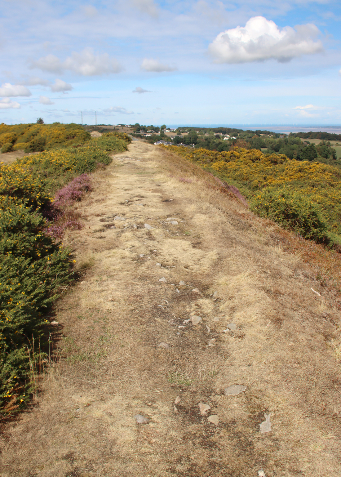
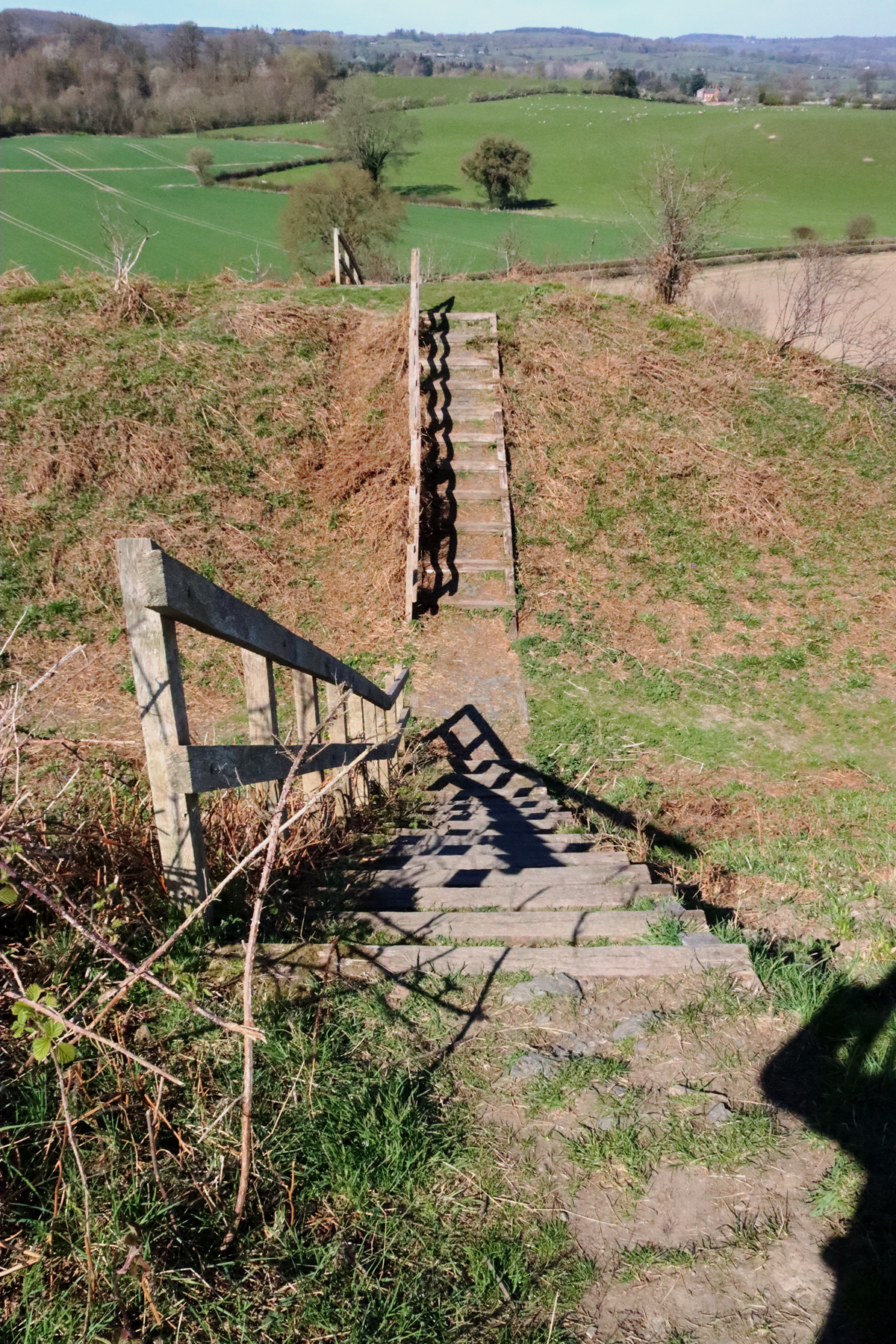
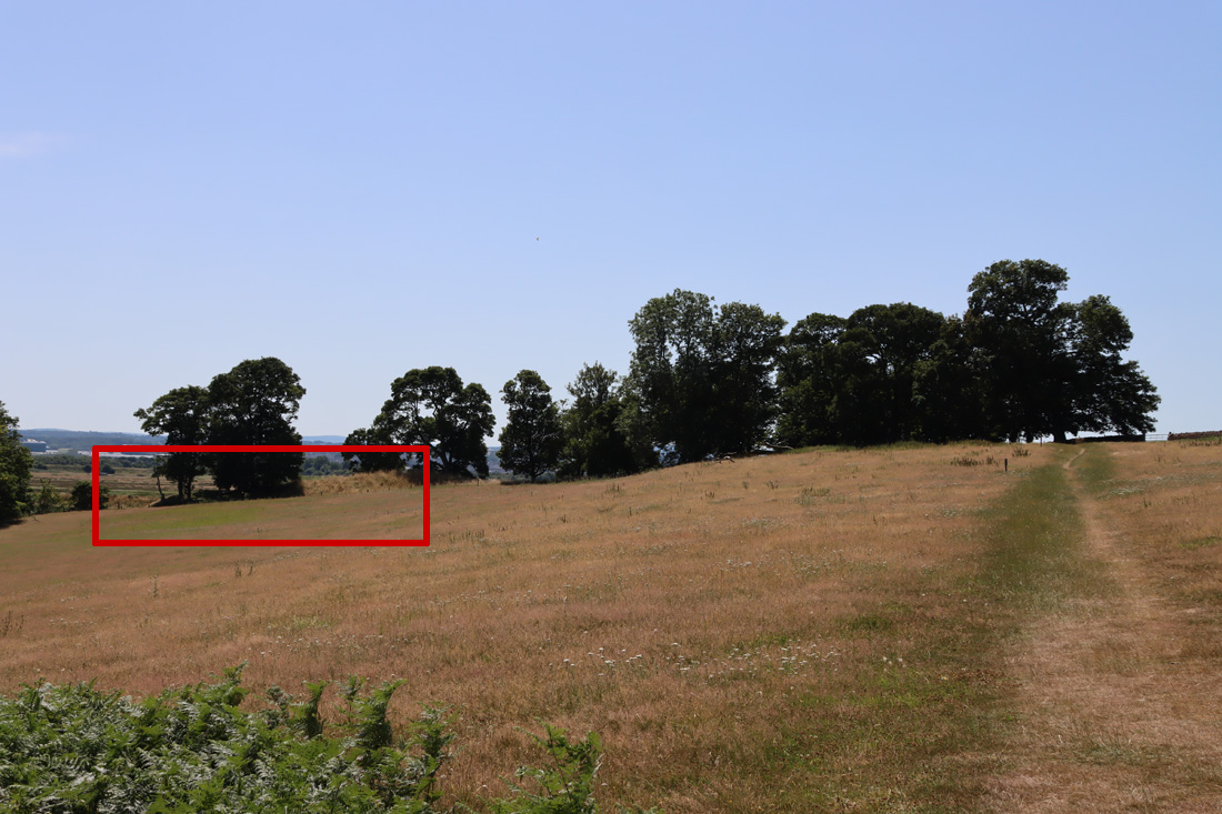
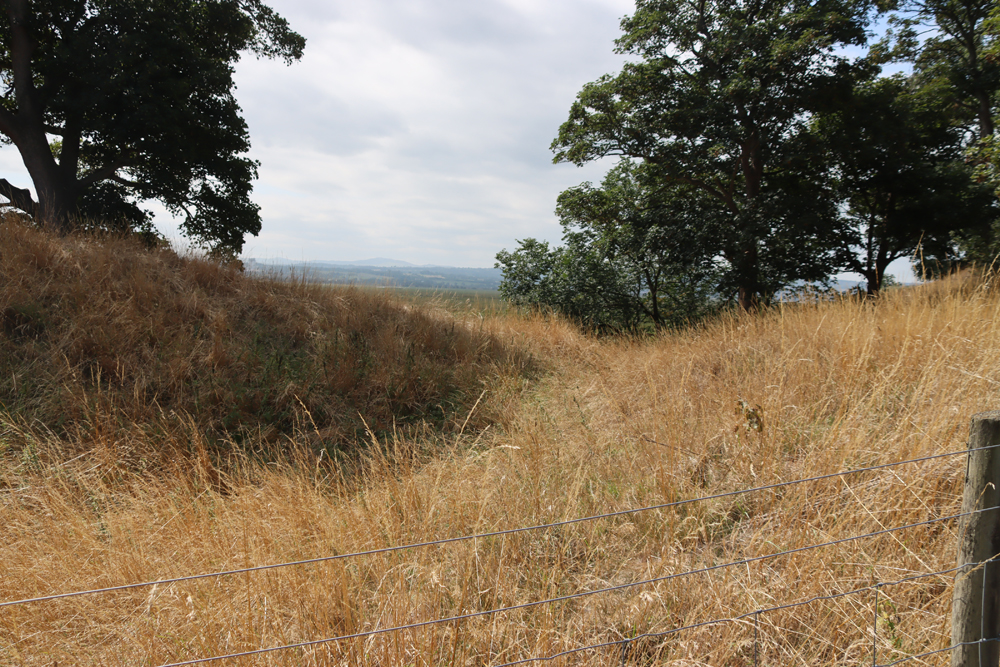
Burton Point fortifications as seen from the footpath in the above imgae

Burton Point fortifications as seen from the approach along the footpath from the RSPB reserve, highlighted in red

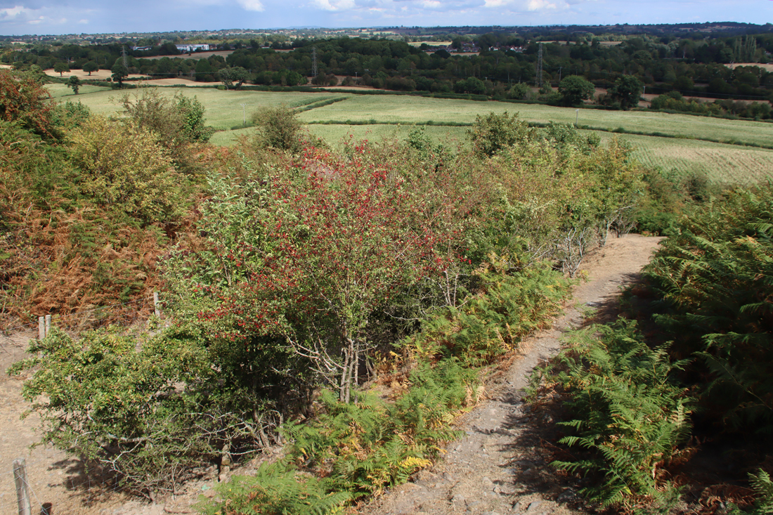
Do note that on the whole, there is not a lot to actually see.  The Iron Age defences are on the other side of a fence, with notices not to cross the fence, so exploring the bank and ditch would be trespass.  Even though you are overlooking the defences, it is not at all easy to make out what is going on.  The other approach is to take the cycle track that runs near the base of Burton Point to try and get a look at it from below, but here again it is difficult to make out where the defences are located and how they would have been deployed to protect an Iron Age settlement.  The best way to get a good look of the site is from above, and you can do this by viewing the Mister Drone UK video of the site, which is by far the most effective way of understanding the relationship between the different parts of the site and the modern landscape and former riverscape.


Archaeological phases

Between 2005 and 2006 the University of Chester undertook three field surveys:  contour, topographical and geophysical, as well as a documentary review to track down any historical reference to the site in contemporary records.  These were reported by Gary Crawford-Coupe in the Journal of Chester Archaeological Society in 2006.

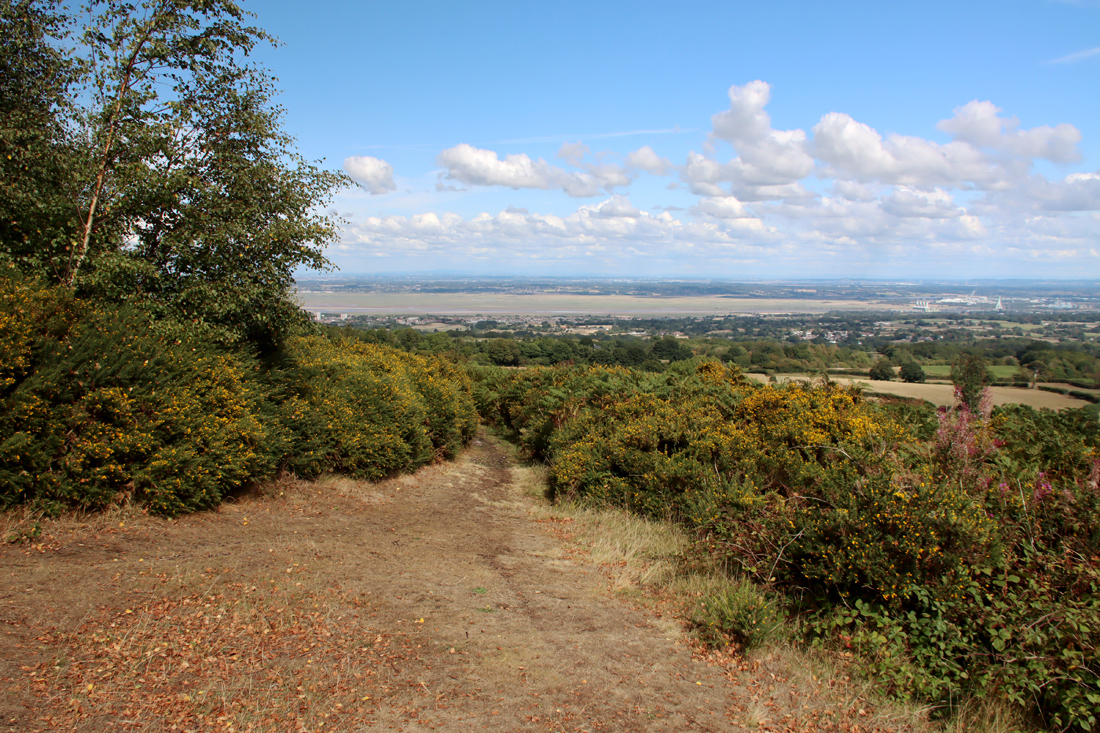
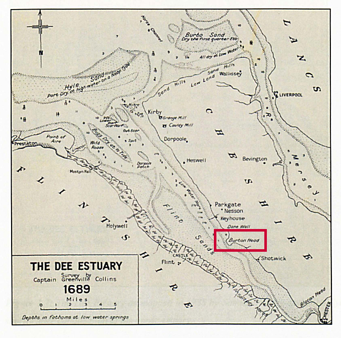
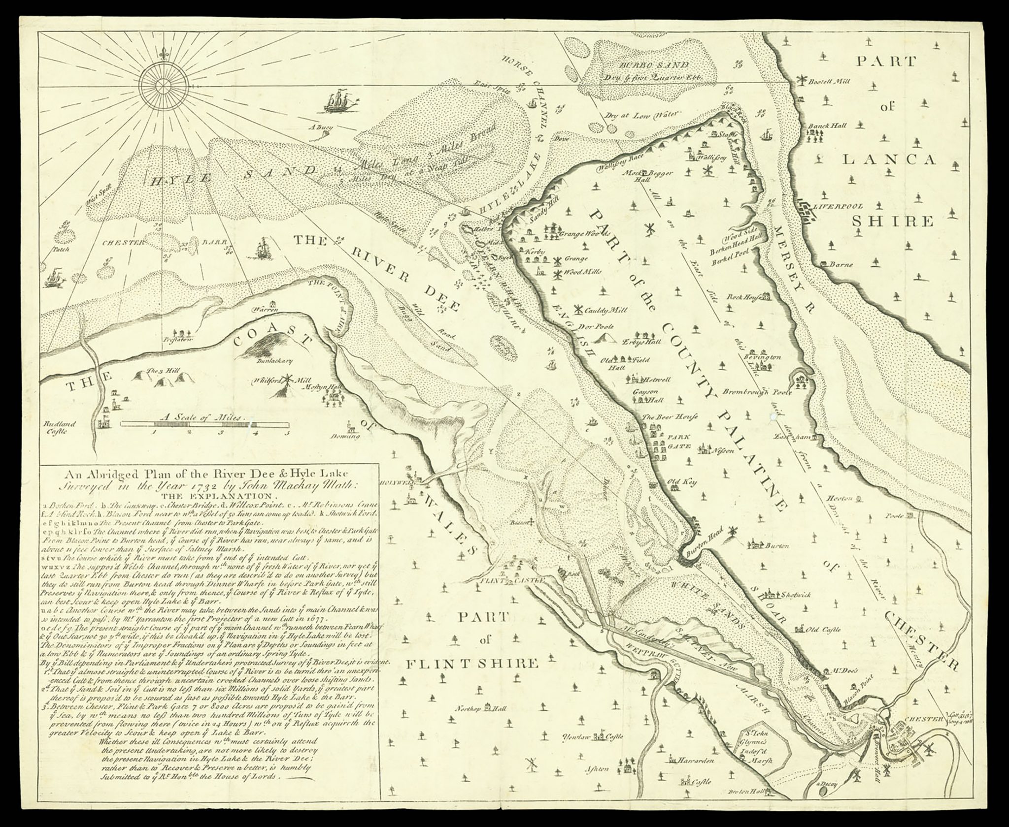
As you can see in the 1689 map above, it was a very noticeable promontory, with the river channel running along its base, offering clear views upriver towards Chester, and downriver towards Hilbre Island, which we could see on the day.  The visibility of Hilbre will depend to a great degree on the weather, but this was the hottest day of the year to date, and there was not a cloud in the sky.  Opposite, on the Welsh side, is Flint Castle which, like Burton Point, is now set back from the river by a long margin of accumulated silt, but was right on the water’s edge when it was built in 1277.

The four main periods of archaeological evidence proposed for the site are Neolithic, Iron Age, Medieval and 17th century.  The site was quarried extensively for red sandstone, which has caused changes to its appearance.  These are discussed by Gary Crawford-Coupe’s 2006 paper, based on the University of Chester’s field surveys, which is the best source of collated information, and can be downloaded free of charge from the Archaeological Data Service (see Sources at the end).

Neolithic

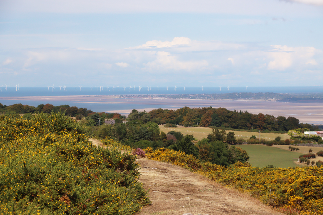
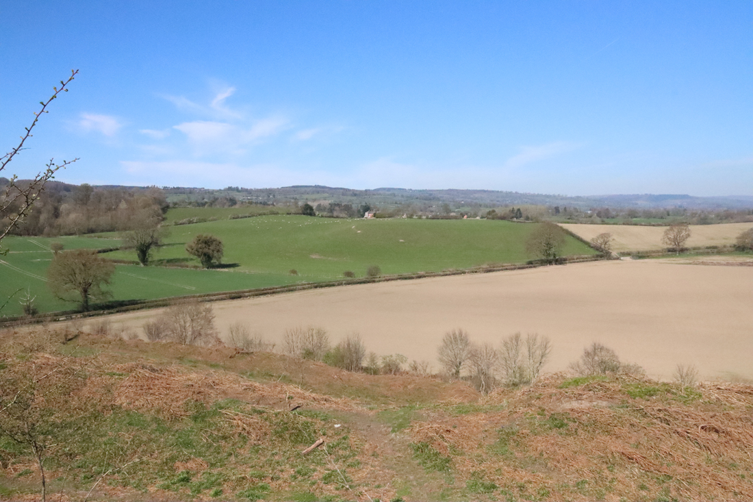
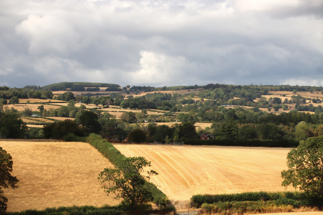
View along the Dee Estuary to the northwest

View along the Dee Estuary to the northwest towards the coast from the former riverbed under Burton Point

Although there are scatters of Mesolithic lithic finds on the Wirral dating to the earlier and later Mesolithic, examples of which were found in the nearby village of Burton, there is nothing dating to this period at Burton Point.  Three interesting finds dating to the Neolithic were, however, found, discussed in Crawford-Coupe’s paper.  There were two arrowheads, one tanged and one transverse, and a polished axe head from Graig Lwyd in Penmaenmawr.  Graig Lwyd axes were found over a wide area and represent a successful trading network.

Iron Age

The site

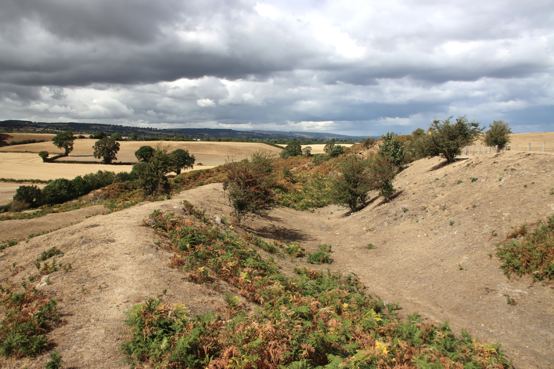
Fortification at Burton Point

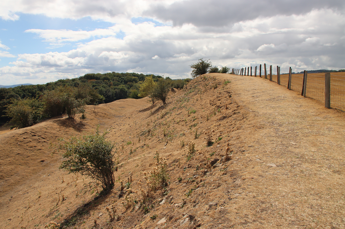
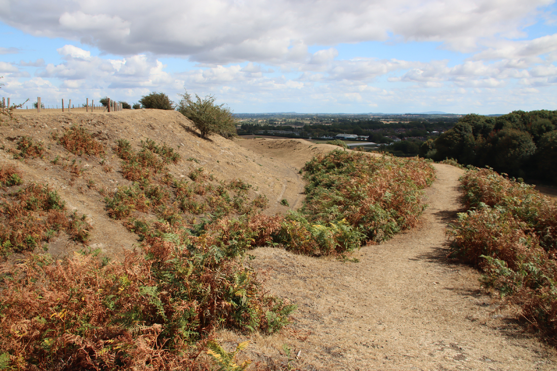
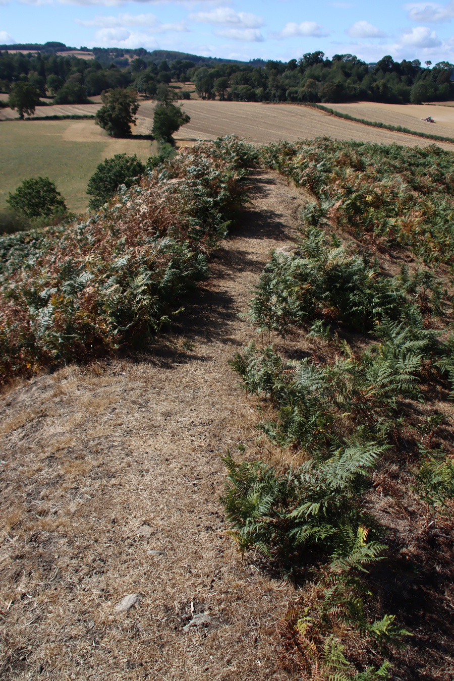
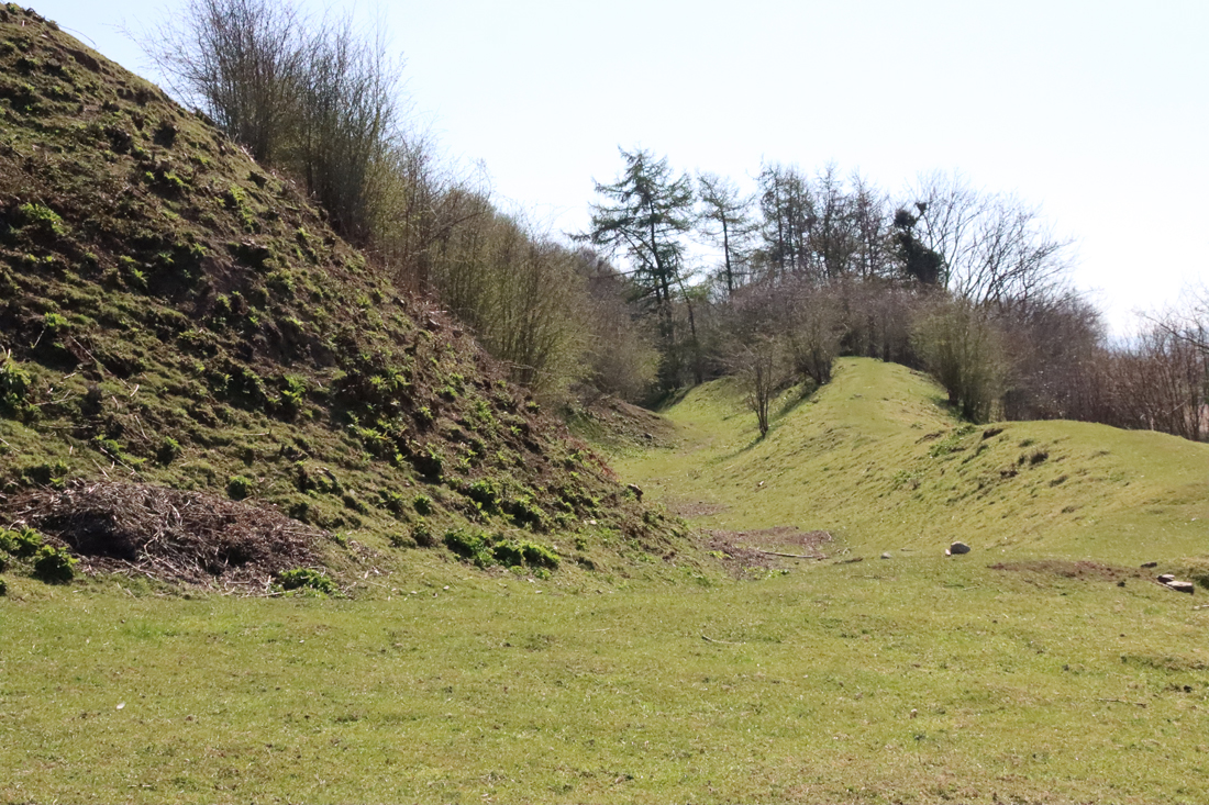
Fortification at Burton Point, consisting of a bank and ditch

The site has not been excavated so recognition of a site and its interpretation as an Iron Age promontory fort has mainly been a matter of the presence of a bank and ditch.  The bank and ditch arrangement is referred to as a glacis type (in which the bank runs directly on a diagonal slope into the ditch).   The site has produced no further late prehistoric information, and no diagnostic artefacts have been recovered although it should be noted that the lack of finds from the Iron Age in the Cheshire area is entirely typical.  The main object type discovered from Iron Age sites is VCP (Very Coarse Pottery), a distinctive coarse pottery used for transporting salt, but none of this has been found at Burton Point to date.  In spite of this lack of corroborating evidence, most of those who have inspected and commented on the site have been confident that this is indeed a small Iron Age promontory hillfort that could have supported a small population, perhaps little larger than an extended family.  It was first registered as a Scheduled Monument in 1913 and in 1979 the schedule was modified to include a larger area.

Maiden Castle, Bickerton Hill, Cheshire

Artist’s impression of Maiden Castle on Bickerton Hill, overlooking the Cheshire Plain to the west, which in an interesting experiment had a clear line of sight to Burton Point. Produced by the Habitats and Hillforts Project 2008-2012. Source: Sandstone Ridge Trust

There is good circumstantial evidence to suggest an Iron Age date for the Burton area.  Burton Point was also well positioned for visual communication with contemporary sites, as discussed by David Matthews in 2006 and Erin Lloyd Jones  in 2019.  A 2011 experiment, the Hilltop Glow event, organized by the former Heather and Hillforts project, demonstrated that Burton Point and reported on the BBC (BBC News March 2011) was one of ten Iron Age hillfort sites (on the Clwydian Range, Halkyn Mountain, the mid-Cheshire Sandstone Ridge, and at Burton Point) that determined which sites could be seen from one another when torches were lit.  The BBC report of the experiment quoted Heather and Hilltops representative Erin Robinson, stating that Burton Point was visible as far away as Maiden Castle at Bickerton Hill, 25km /15.5 miles (shown above), as well as nearer sites on the Clwydian Range.  Burton Point would also have been in the proximity of Iron Age sites 129 and 154  at Puddington Lane in nearby Burton Village, which confirm that a later Bronze Age and Iron Age presence were in this area.  By boat, Iron Age settlements in both Chester and Meols would have been within easy reach:  Iron Age settlement features were found during the excavations of the Roman amphitheatre in Chester; and at Meols a number of Iron Age finds, including coins, have lead to suggestions that Meols may have been a trading port with connections to both north and south along the coast at that time.

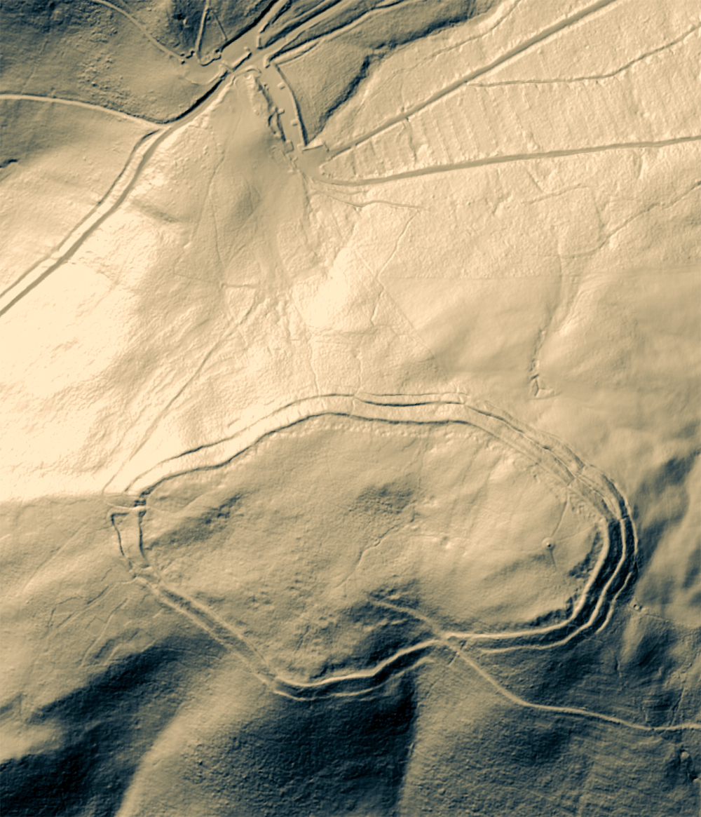
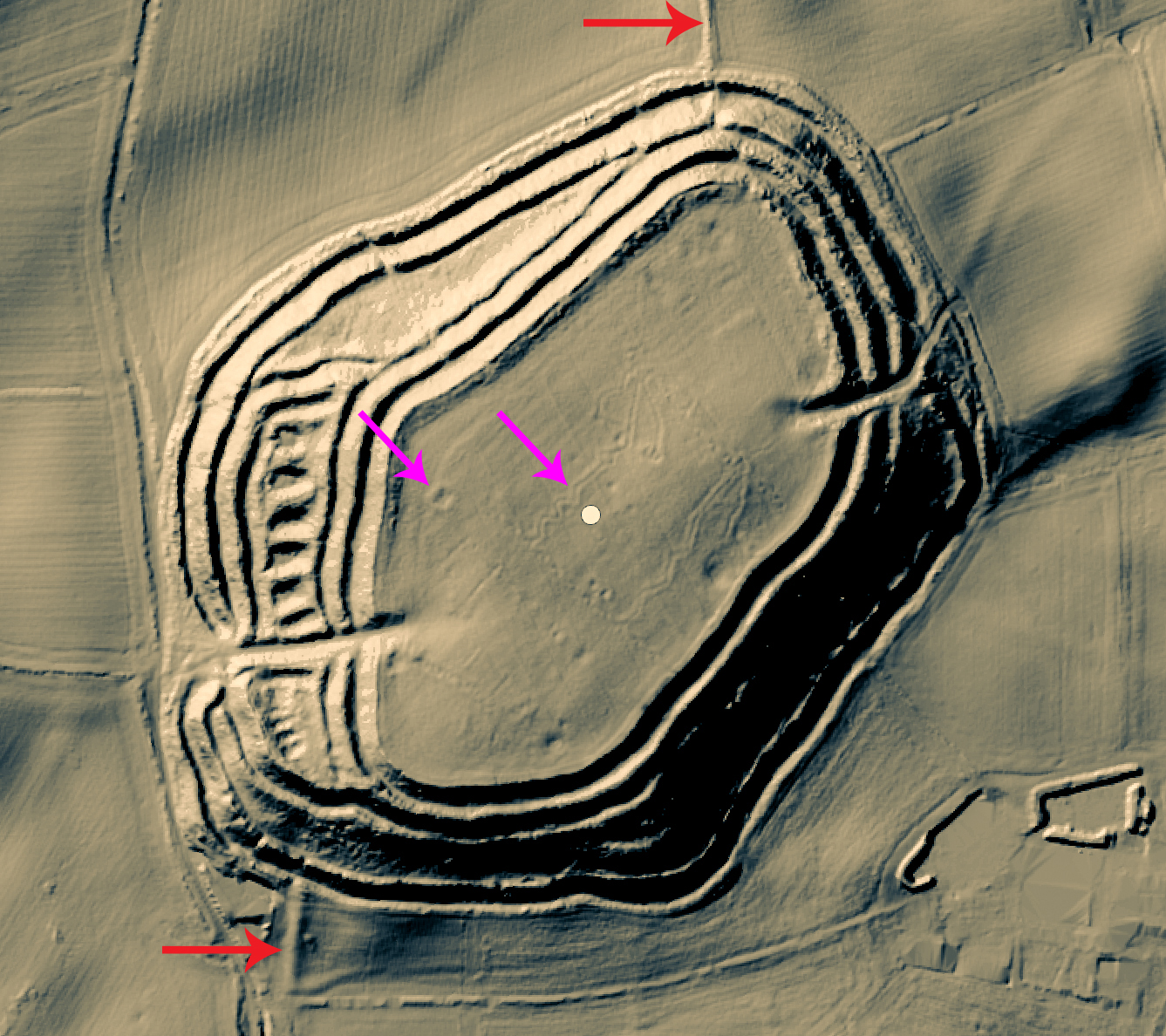
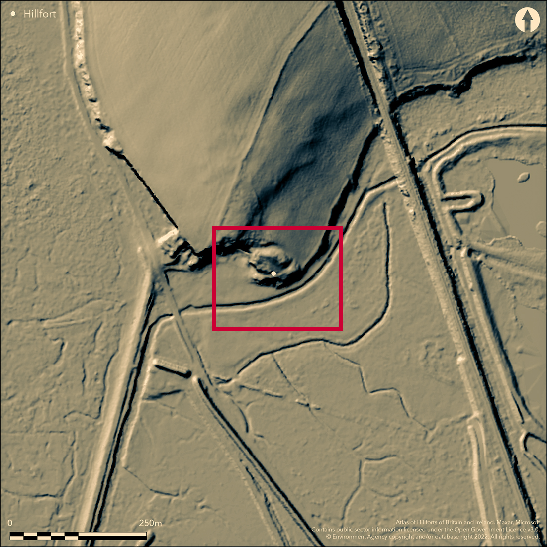
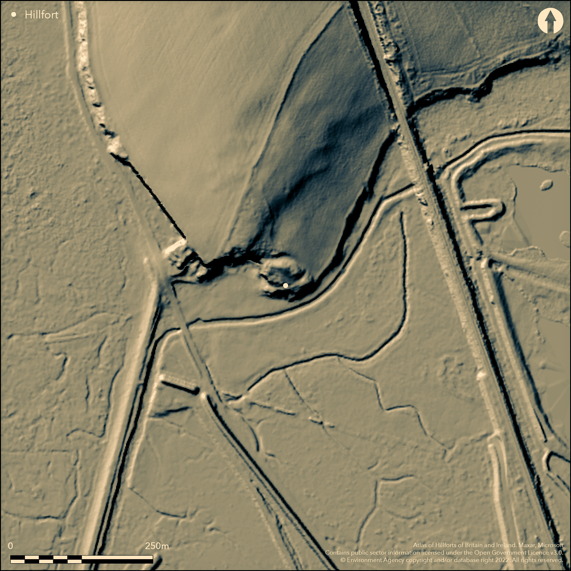
Burton Point LiDAR image from the Atlas of Iron Age of Britain and Ireland (EN3190).

Burton Point LiDAR image from the Atlas of Iron Age of Britain and Ireland (EN3190). The line leading diagonally from northeast to southwest is the footpath leading to the viewing area.

There are however some features that remain puzzling.  If this is supposed to be a settlement on a promontory, separated from the rest of the headland by a bank and ditch, it is remarkably difficult to understand its form from what remains, whether you are overlooking the site, looking up at it from below, or examining maps, LiDAR imaging or aerial photographs.  This is partly due to quarrying and erosion, but also because it is impossible to walk over what remains of the site, which is fenced off.  However, what may have been the Iron Age defences appear to be set below what remains of the headland.  This means that the settlement on the promontory would have been lower than the headland behind it, a strategic disadvantage if the bank and ditch were defensive rather than merely statements of territory or prestige.  On my first visit it seemed  counter-intuitive that this was a promontory hillfort because the defences were only around 20ft above the river bed.  Once the term “fort” is removed from the equation, it is still puzzling, and although a short stretch of bank and ditch were visible, they were below the level at which we were standing on the headland behind the defences, a few feet higher than the defences.  Faint heart never won fair hillfort, so a few days later I parked up near the cycle track that runs around the base of Burton Point and had another look from what would have been the Dee riverbed, from where the headland clearly rises above the level of the defences.  The Mister Drone footage and the above LiDAR image, which I found only later also indicate that the defences were below the headland behind it.

Even so, the bank and ditch may have been more symbolic than actually defensive.  Speculating wildly, if the promontory was occupied for its views or as a trading point, the defences could have been built to control access to and exit from a specialized site.  In this case, or any other function for the site (including domestic settlement) the bank and ditch could have had more to do with a statement of territoriality and prestige than any actual threat.

The surveys  undertaken by the University of Chester (Crawford-Coupe 2005) were unable to provide definitive data to substantiate the proposed dating.  The tangle of tree roots prevented any detection of sub-surface structures.

There are alternative suggestions.  After his visit to inspect the site in November 1950, Professor A.W. Lawrence, thought that the earthworks represented quarry upcast prior to starting a new quarry (Historic England Research Records Monument No.67150).  The same source puts forward the possibility that even if it is accepted that the bank and ditch are defensive, they could represent “a Dark Age Celtic Fort,” partly based on the possibility that the parish name Burton may be derived from Burh-tun, meaning “farm/dwelling by the fort.”  The CHER record (9/1) mentions, without a reference, that “[i]t has been suggested that it maybe the military base of the Dane, Hingamund.”

The site continues to interest those researching the Iron Age and has been mentioned in subsequent reports on other sites, placing it in a wider regional context.  As Crawford-Coupe points out, matters are unlikely to be clarified until an excavation takes place.

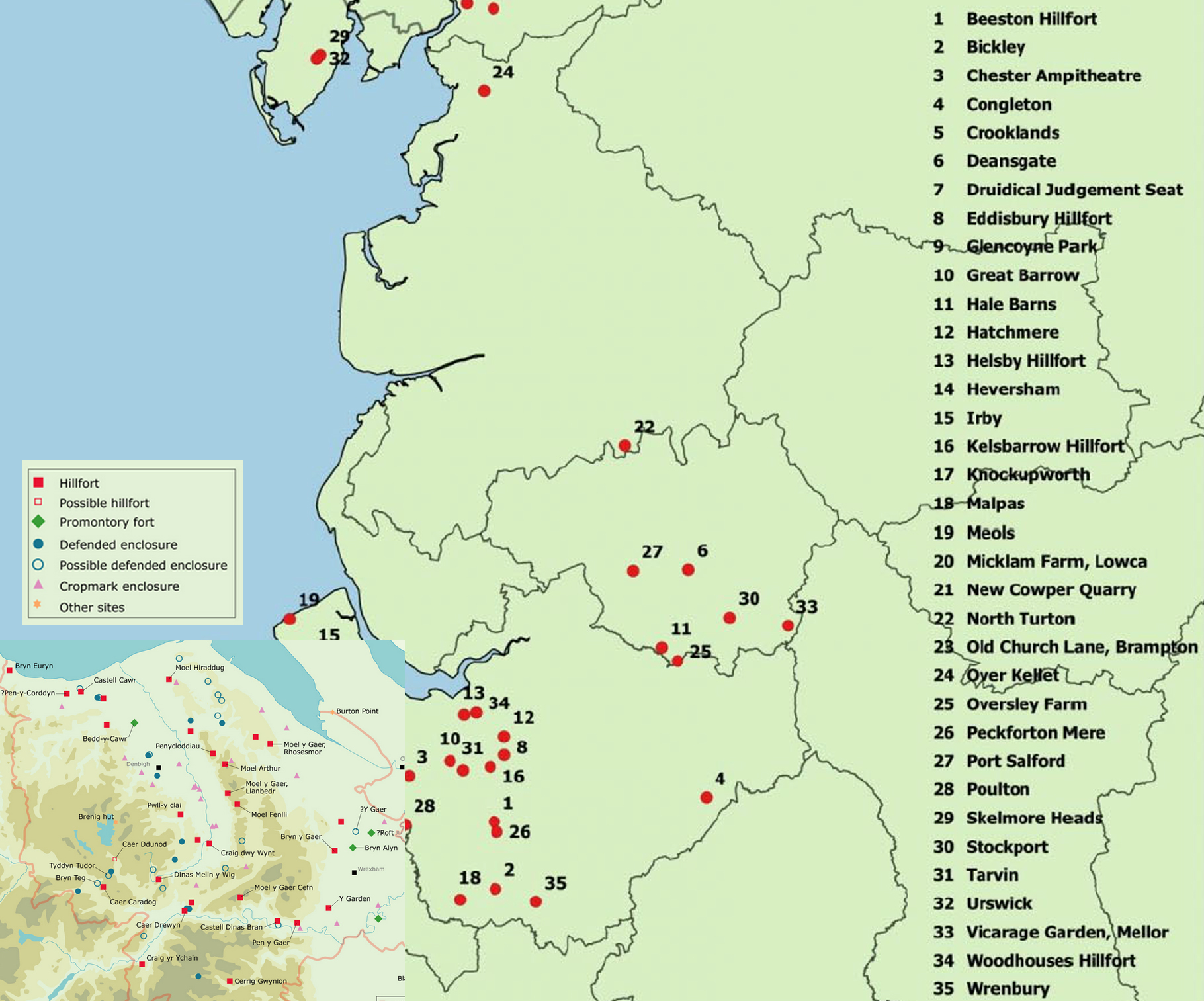
Composite map showing the distribution of Iron Age sites in northwest England and north Wales. Sources: I combined the two maps from Ritchie 2018 and Nevell 2025

Roman

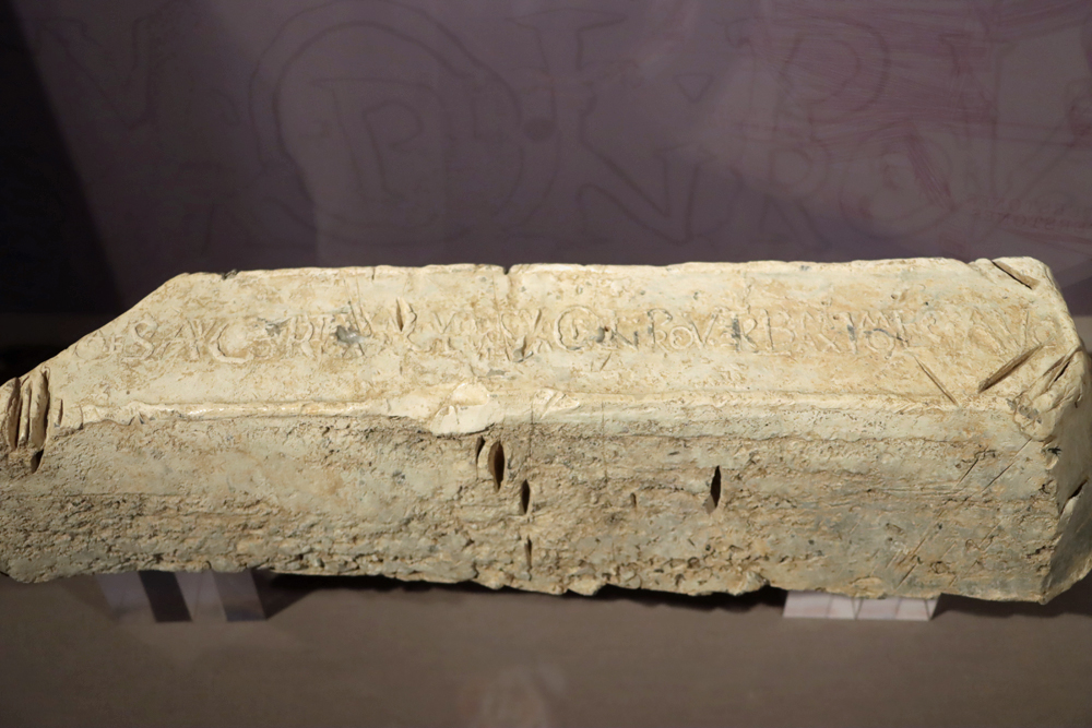
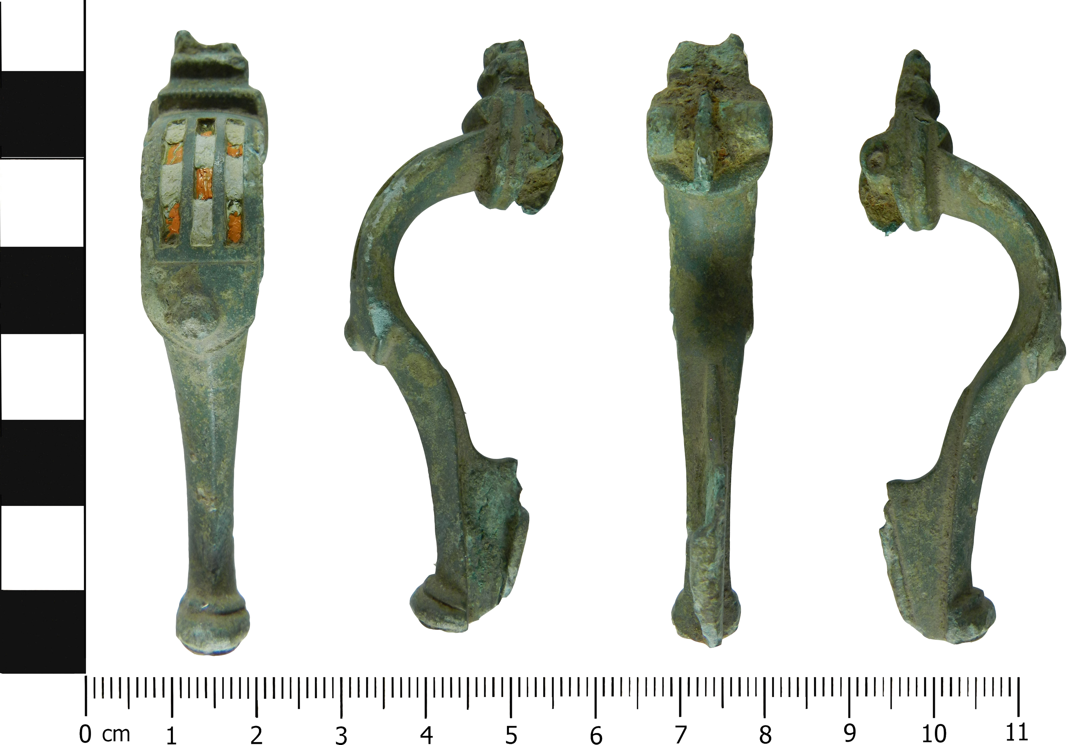
For those wondering whether there may have been a Roman trading post or watchpost here, perhaps part of a network with Meols, both reasonable thoughts given the notable lines of sight on a clear day, a single Roman brooch was found (SMR-no.59).  A single object cannot be extrapolated into a whole site or a particular set of activities but the discovery is still interesting, particularly as there was a find of another Roman brooch (SMR no.56), a fibula-type, in a field opposite Ness Gardens only 1.5 miles / 2.4 km away from Burton Point.  I have not yet found a detailed account or image of either brooch.

Medieval use and quarrying

Flint Castle

Flint Castle on the Dee Estuary, opposite Burton Point

After the site was abandoned in the Roman period, it is thought that it was used for stone quarrying by Edward I for Flint Castle, together with stone from Ness where Edward kept a small garrison.  Most of the stone used for Flint Castle was yellow sandstone, that tends to look rather grey today, but red sandstone that could have been quarried from Burton Point and its vicinity was also used as infill and for some inner stonework.

Richard II’s Cheshire archers are thought to have embarked from Burton Point on the expedition to Ireland in 1399.

Post-medieval land use, quarrying and burials

As has already been mentioned, in the Middle Ages the channel of the Dee is thought to have run up to the base of Burton Point, and there are various records of requests for access to the small headland for mooring, unloading and storage. The University of Chester survey published in 2006 noted a section of wall and some pavings, which may have had something to do with these requests, but it is all fairly ambiguous.

1732 map of the river Dee and estuary showing Burton Point.

1732 map of the river Dee and estuary showing Burton Point. Source: sustainablebeach.co.uk

In 1889 it was reported that 29 burials were found, all interred orientated east to west, with no grave goods.  An east-west burial is consistent with a Christian burial, but that does not narrow it down much.  When the skeletal remains were examined, there were no marks to indicate how they died, which seems to rule out a Civil War explanation, but leaves the possibility of plague or shipwreck.  A shipwreck was recorded for 1637.  Shipwreck victims may or may not have incurred injuries during the wrecking of the ship, but plague would have left no signs at all and would be consistent with such a remote burial, unconnected with a church and consecrated land.


Final Comments

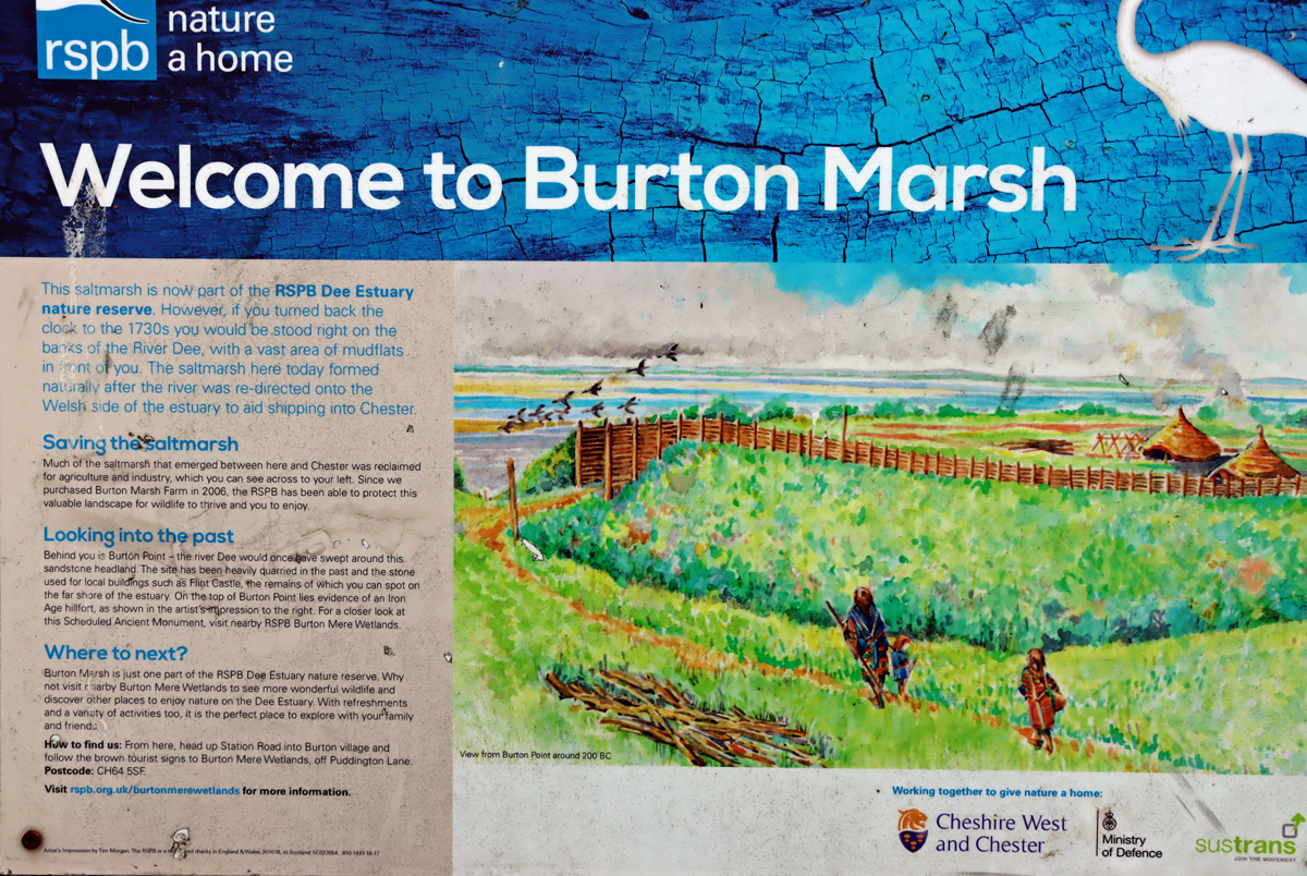
Imaginative reconstruction of how an Iron Age site may have looked

Given that no roundhouses or any indications of palisades have been found at the site, this information sign represents a profound act of imagination based loosely on structures found on other Iron Age sites in the general area.

Partly due to erosion and quarrying that have obliterated most of the site, and partly due to the position of the defences at a level lower than the main headland, the site is not particularly easy to understand as an Iron Age defended promontory settlement.  Nevertheless, it is generally accepted as such, demonstrated by the University of Chester report published in 2006, and its inclusion in discussions of the Iron Age in the area, its presence on distribution maps of Iron Age sites and its inclusion on online Atlas of Iron Age Hillforts in Britain and Ireland.  There do remain questions about the overall plan of the proposed late prehistoric settlement.


Sources 

Books and papers

Britnell, W.J. and Silvester, R.J. 2018. 1. Introduction. In (eds.) Britnell, W.J. and Silvester, R.J. 2018. Hillforts and Defended Enclosures of the Welsh Borderland. Internet Archaeology 48
https://intarch.ac.uk/journal/issue48/7/1.html

Crawford-Coupe, Gary 2006. II. The Archaeology of Burton Point.  Journal of Chester Archaeological Society, new series 89, p.71-90
https://archaeologydataservice.ac.uk/archiveDS/archiveDownload?t=arch-2910-1/dissemination/pdf/JCAS_ns_080/JCAS_ns_080_071-090.pdf

Gregory, Richard A. and Mark Adams with contributions by Denise Druce, Laura Griffin, Chris Howard-Davis, Gwladys Monteil, Elaine L. Morris, Rob Philpott, Ian Smith and Adam Tinsley 2019. Excavation at Two Cropmark Enclosures at Puddington Lane, Burton, Wirral, 2010–2015.
Journal of Chester Archaeological Society, new series 89, 2019, p.1–69
https://archaeologydataservice.ac.uk/archiveDS/archiveDownload?t=arch-2910-1/dissemination/pdf/JCAS_ns_089/JCAS_ns_089_001-070.pdf

Griffiths, David., Robert A. Philpott, Geoff Egan and contributors 2007. Meols, the Archaeology of the North Wirral Coast. Oxford University School of Archaeology: Monograph 68: Institute of Archaeology, University of Oxford.
https://archaeologydataservice.ac.uk/archives/view/meols_sal_2007/downloads.cfm

Lloyd Jones, Erin 2019. Connections between the hillforts of the Clwydian Range and the wider landscape. Unpublished PhD, Bangor University
https://pure.bangor.ac.uk/ws/portalfiles/portal/22607372/2017_Jones_EL_PhD.pdf

Matthews, David J. 2006. Mapping hillfort intervisibility and its potential to define Iron Age tribal areas in the northern and mid Marches. Unpublished MA Thesis

Matthews, Keith J. 2001. The Iron Age of Northwest England: A socio-economic model.  Journal of the Chester Archaeological Society 76, p.1-51
https://www.academia.edu/900876/The_Iron_Age_of_North_West_England_A_Socio_Economic_Model

Morgan, Victorian and Paul Morgan 2004.  Prehistoric Cheshire. Landmark Publishing

Nevell, Mike 2025. Northwest Regional Research Framework: Later Prehistory
https://researchframeworks.org/nwrf/resource-assessments/later-prehistory/ 

Philpott, Robert A. and Mark H. Adams and contributors 2010.  Irby, Wirral.  Excavations on a Late Prehistoric Romano-British and Medieval site 1987-96.  National Museums Liverpool

Ritchie, Matt 2018.  A Brief Introduction to Iron Age Settlement in Wales. Internet Archaeology 48. https://intarch.ac.uk/journal/issue48/2/1.html

Silvester R.J. 2018. 4. North-east Wales and the Cheshire borderlands. In (eds.) Britnell, W.J. and Silvester, R.J. 2018. Hillforts and Defended Enclosures of the Welsh Borderland. Internet Archaeology 48
https://intarch.ac.uk/journal/issue48/7/toc.html

Wilmott, Tony and Dan Garner 2018. The Roman Amphitheatre of Chester, Volume 1: The Prehistoric and Roman Archaeology. Oxbow Books

Websites

ARCHAEOdeath
The Archaeology of Burton Point: The Heritage Open Day at Burton Mere RSPB
https://howardwilliamsblog.wordpress.com/2022/09/16/the-archaeology-of-burton-point-the-heritage-open-day-at-burton-mere-rspb/

Atlas of Hillforts in Britain and Ireland
EN3190 – Burton Point.  Gary Lock and Ian Ralston 2012-2016
https://tinyurl.com/mrxeu34s

Based In Churton
Exploring Maiden Castle Iron Age Hillfort, Bickerton Hill (mid-Cheshire Sandstone Ridge)
https://wp.me/pcZwQK-8Az
Sunshine, archaeology and great views at Caer Drewyn Iron Age hillfort at Corwen
https://wp.me/pcZwQK-4ft
Hillforts and amazing views – and why is there an Egyptian temple on the top of Moel Famau?
https://wp.me/pcZwQK-9dE
The fabulous nature reserve at the RSPB’s Burton Mere Wetlands
https://wp.me/pcZwQK-7QS

BBC News
North Wales Hillfort Test of Iron Age Communication
https://www.bbc.co.uk/news/uk-wales-north-east-wales-11832323

Heritage Gateway
Historic England Research Records Monument Number 67150.  
https://www.heritagegateway.org.uk/Gateway/Results_Single.aspx?uid=67150&resourceID=19191

Historic England 
Promontory fort on Burton Point 550m south west of Burton Point Farm
https://historicengland.org.uk/listing/the-list/list-entry/1013298?section=official-list-entry

Mister Drone UK
Burton Point, Iron Age Fort Remains search by drone
https://www.youtube.com/watch?v=t9izFQLB148

Northwest Regional Resource
Introduction: The Later Prehistoric Resource. 1200BC-43AD. Compiled by Michael Nevell, with contributions.
https://researchframeworks.org/nwrf/resource-assessments/later-prehistory/

A Sustainable Vision for Hoylake Beach
The Curious Case of the Cheesemongers (for the very useful 1732 map of the Wirral)
https://sustainablebeach.org.uk/index.php/evidence-and-data/library/the-curious-case-of-the-cheesemongers/


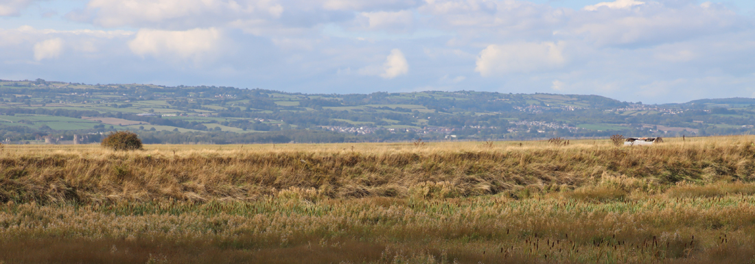
The view across to Wales

The view across to Wales from the foot of Burton Point

Hillforts and amazing views – and why is there an Egyptian temple on the top of Moel Famau?

The Jubilee Tower

The Jubilee Tower

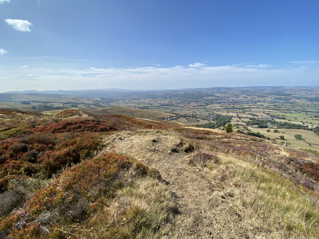
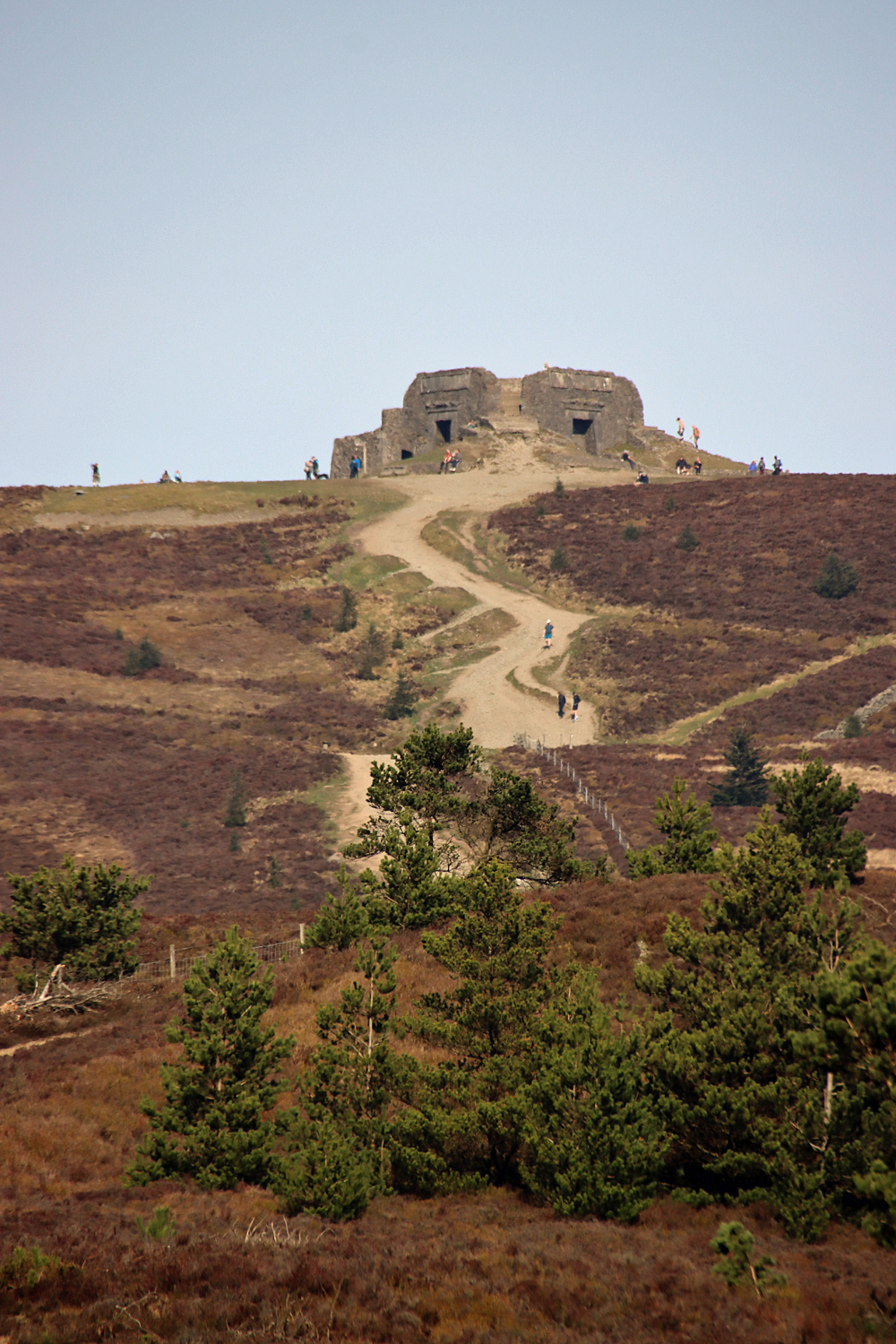
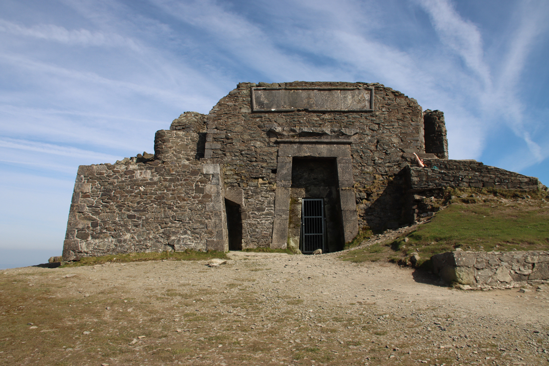
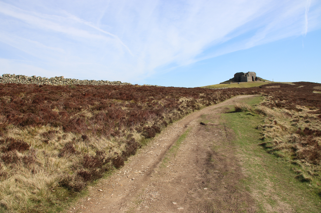
It was something of a surprise when I walked up to the top of Moel Famau during the week and found myself face to face with a building that was clearly based on an ancient Egyptian temple, the Grade II listed Jubilee Tower.  People talk about the views, the hillforts, the heather, the bilberries and the bird life, but no-one had mentioned that there was a rather unexpected slice of Egyptomania on the peak.  One would certainly, thankfully, not be permitted to build on a national beauty spot these days, but I suppose that it could be a lot worse, like the hideous, overpriced café on Snowdon.  The Jubilee Tower is not elegant, it is not authentic, and it is anything but pretty, but it did make me smile, and other walkers were clearly enjoying it too.  Heritage comes in various forms, some of them most unexpected.  The Egyptian Revival produced some splendid buildings and monuments, and although this one is not amongst the most accomplished, its location singles it out as a fairly remarkable example, a genuine curiosity.


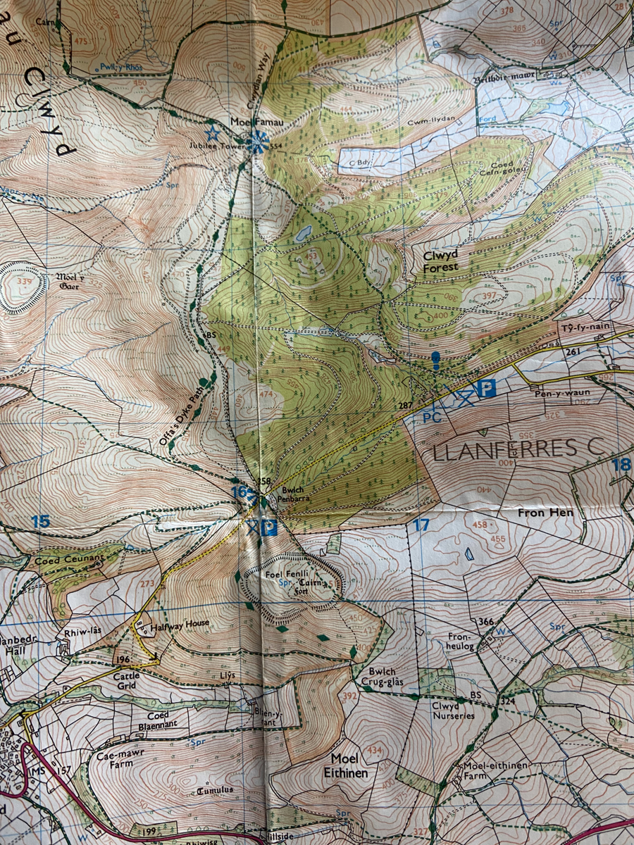
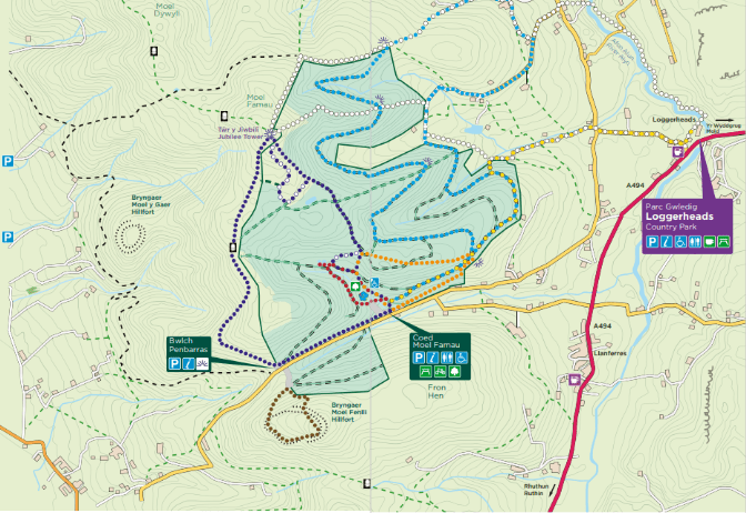
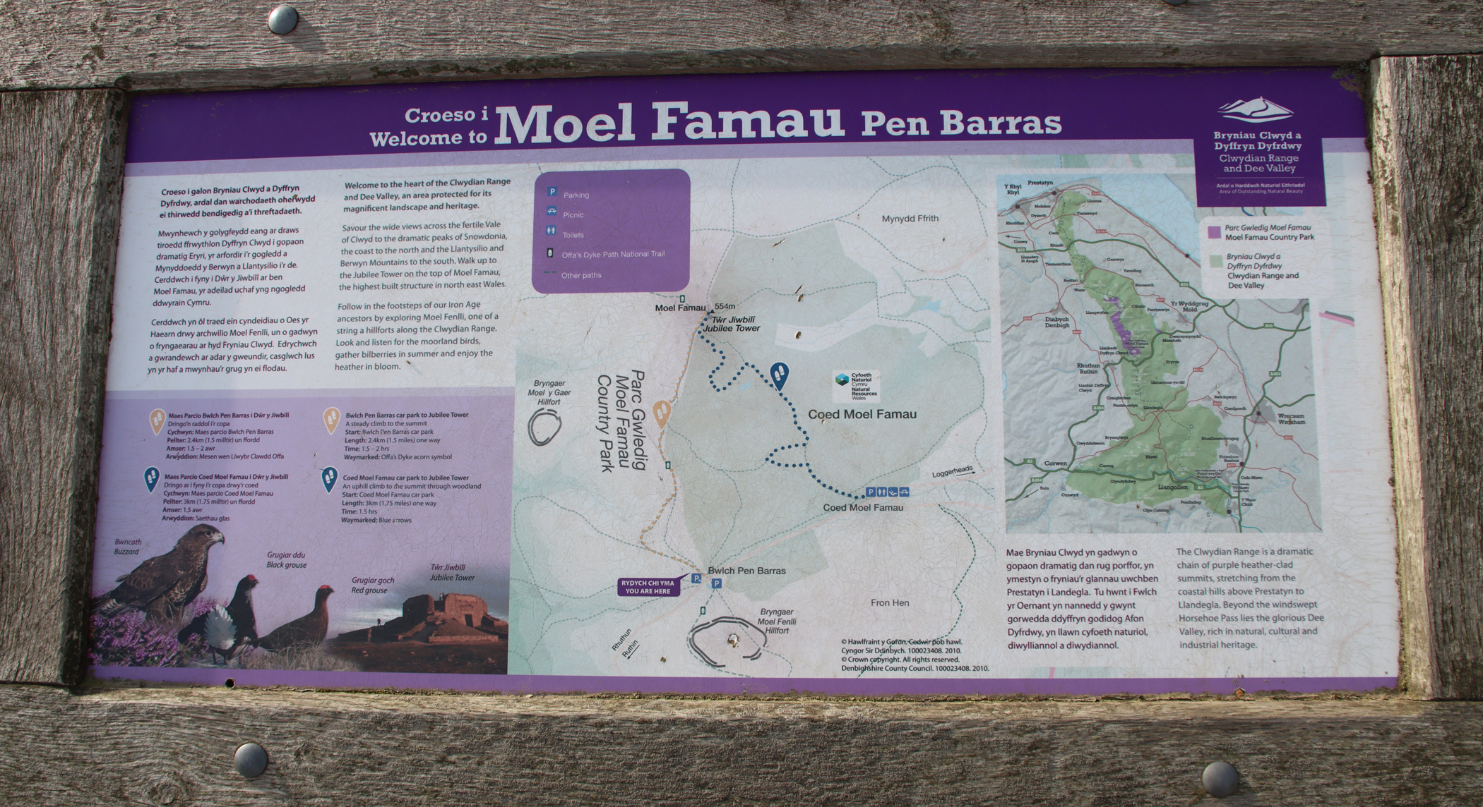
Map of Moel Famau footpaths

Map of Moel Famau footpaths, as well as the locations of Moel y Gaer and Foel Fenlli hillforts. Source: Nearly Uphill

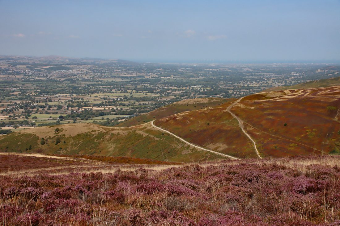
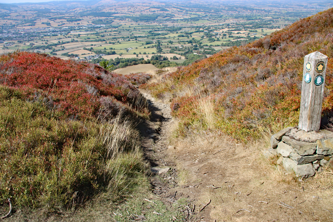
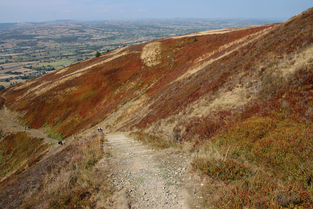
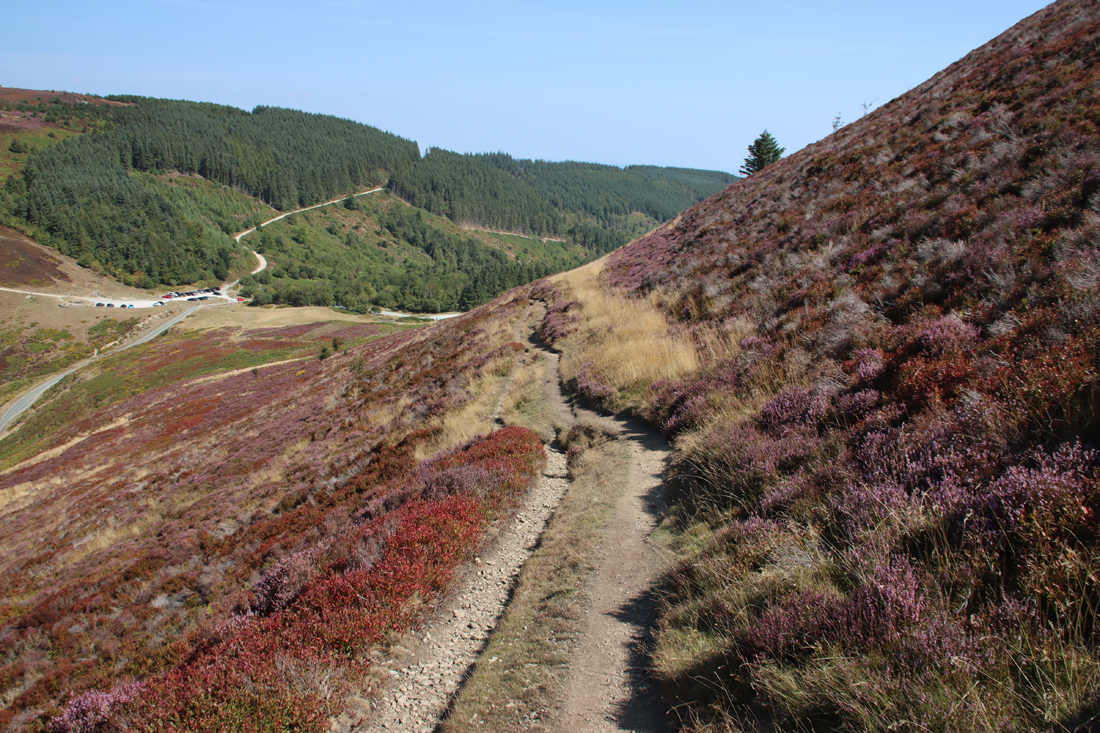
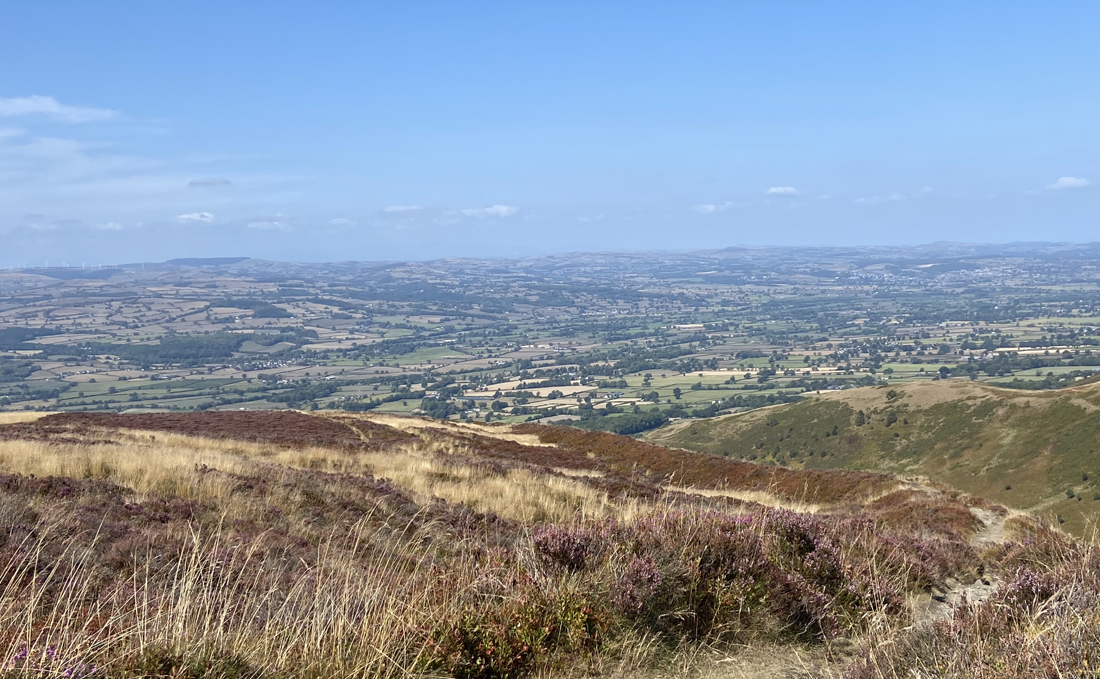
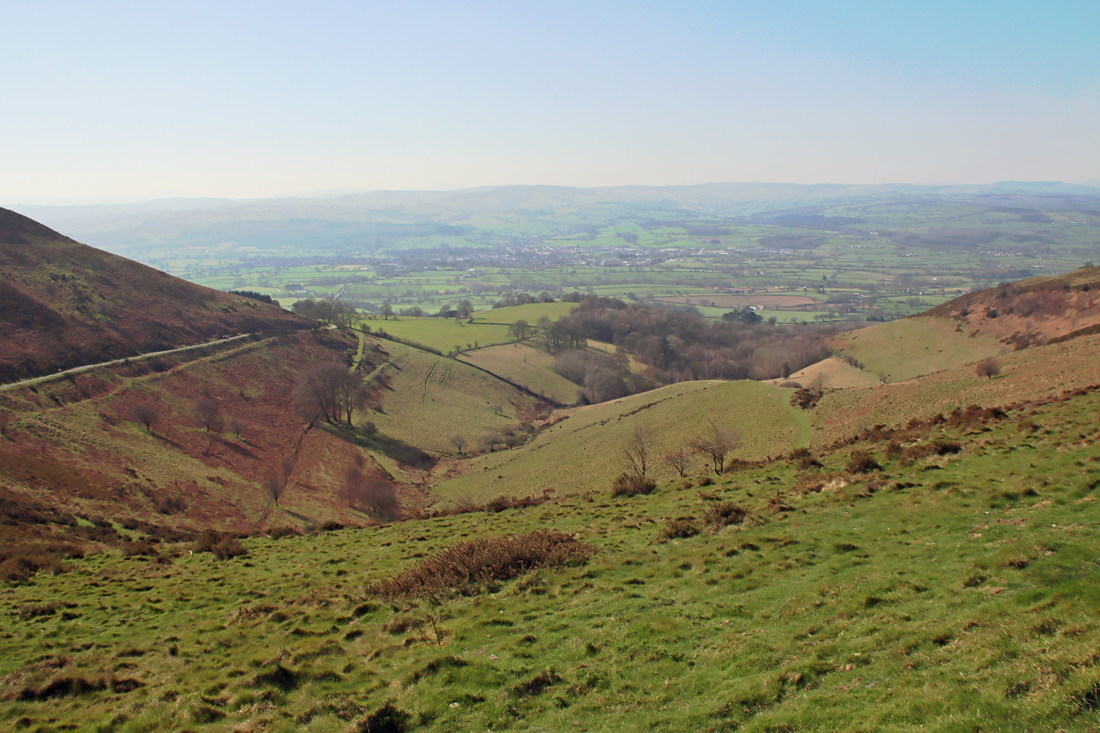
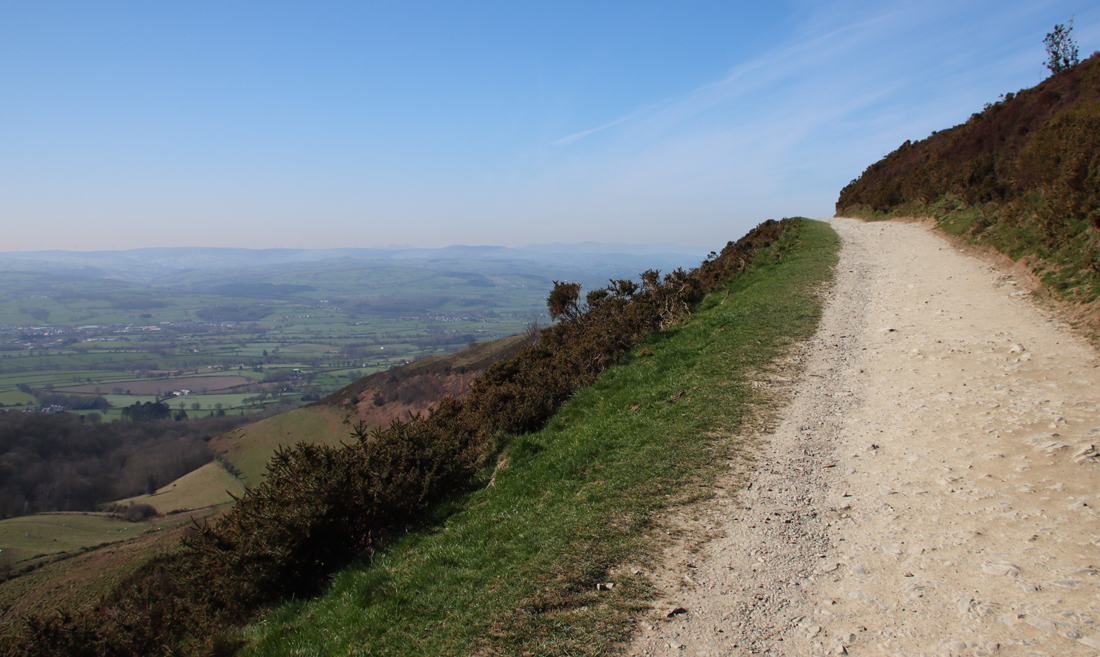
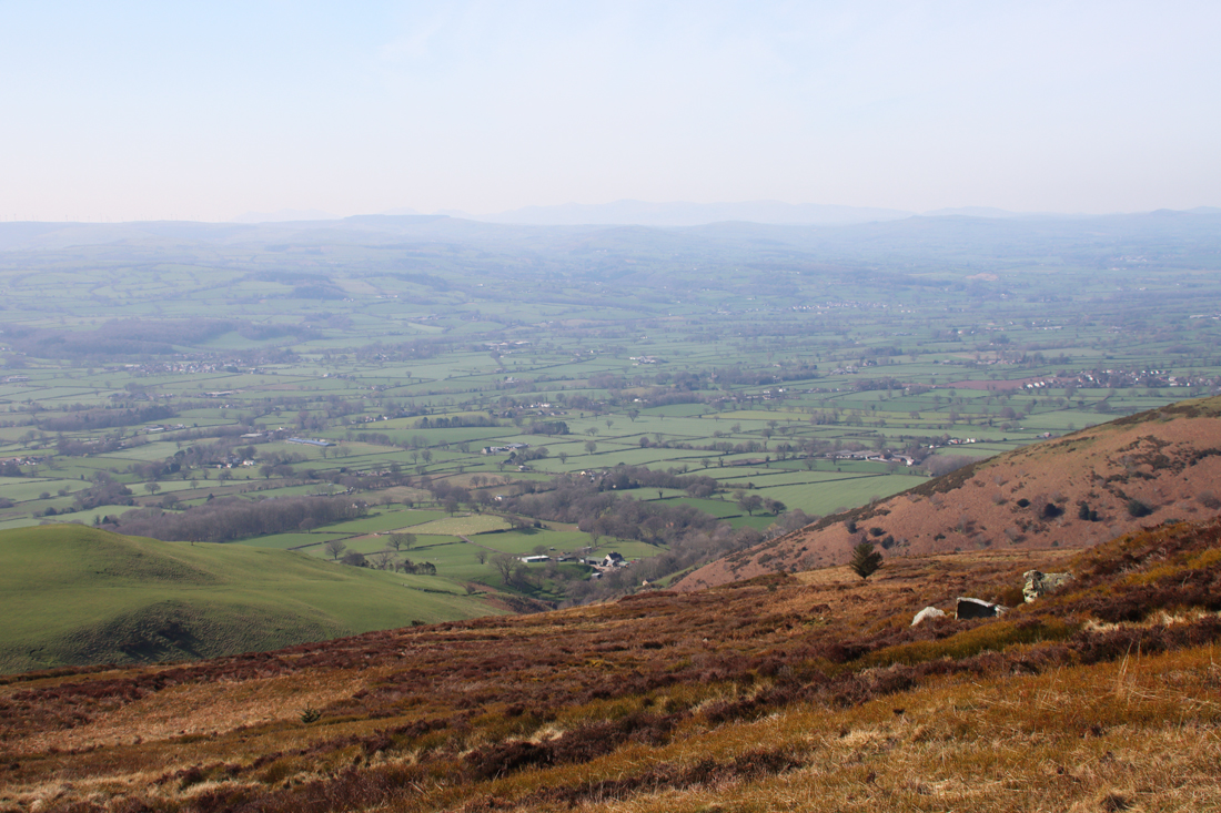
Moel Famau, on the Clwydian Range, is lovely.  It is the highest peak on the Clwydians and a very popular destination for hikers and dog walkers alike.  I don’t really remember my first visit, so it was very much like visiting for the first time.  There are a number of different approaches to the peak. I went along the Bwlch Pen Barras road, a pass through the Clwydian Range where there are two official starting points with car parks.  one of which takes you through the coed (wood), but it was far too gloriously sunny to be under cover, which means that that the best starting point was the large amount of lay-by parking (which I believe is free) or the Bwlch Pen Barras car park (payment required) .  The What3Words address for the Bwlch Pen Barras car park is ///hobble.passwords.device.  You are already very high up at this point, with terrific views over the Vale of Clwyd before you even start, and the footpath that I took (the purple track at far left of the above map) provides superb views over the Vale of Clwyd.

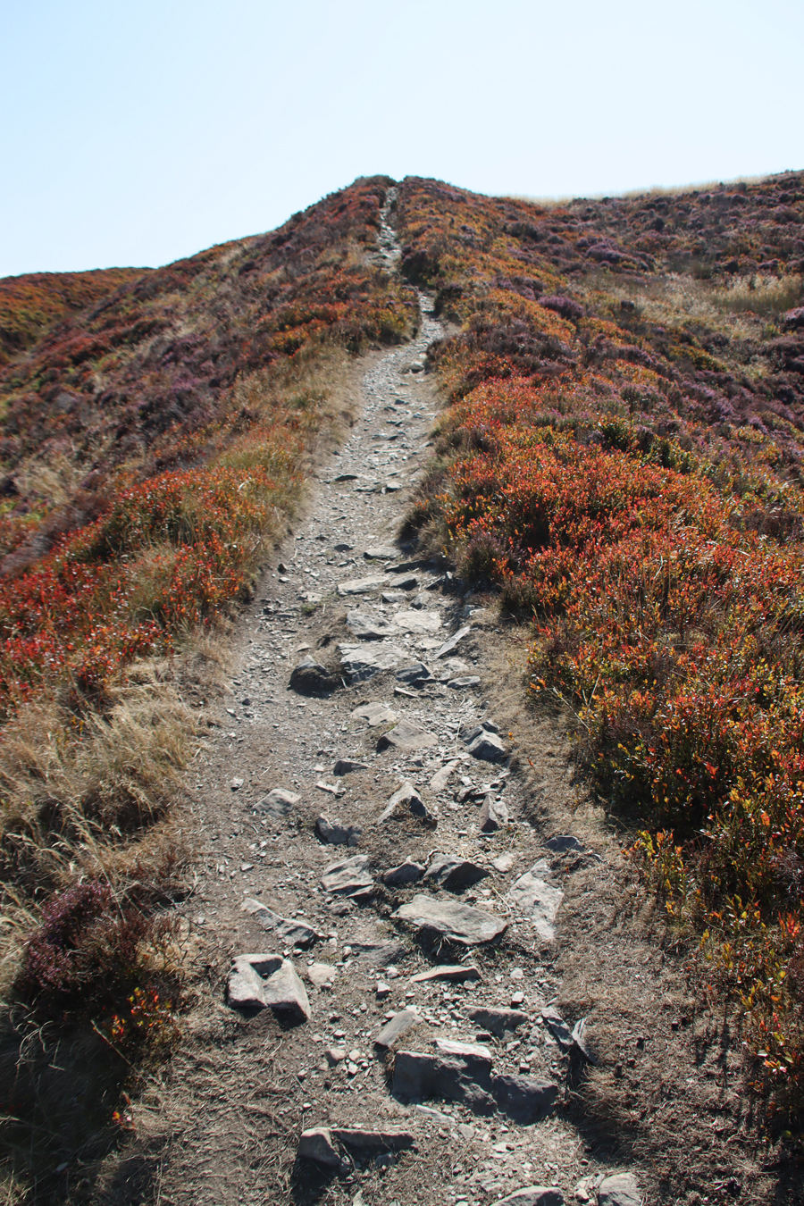
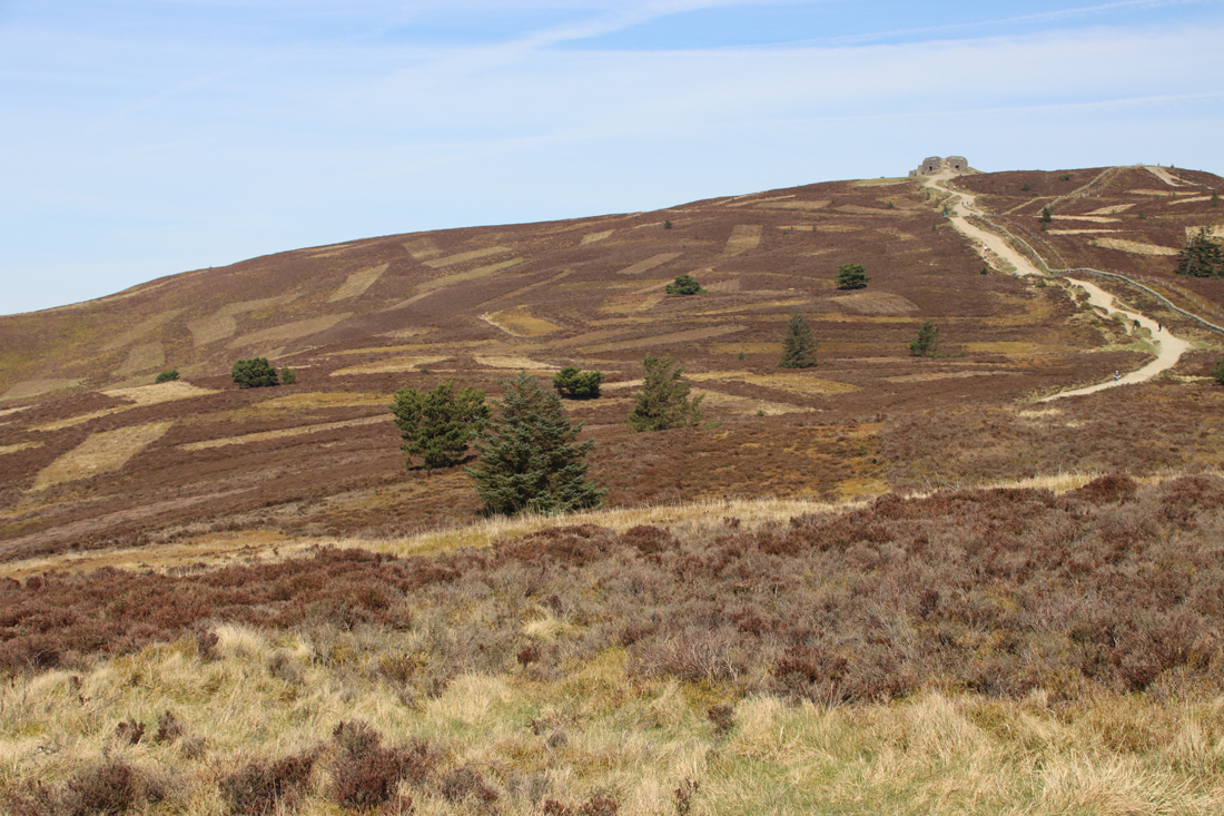
The walk, along a wide, well maintained path, starts very gently and for the first 20 minutes or so is very easy.  It becomes much steeper for a fairly short section leading up to the peak, but people of all levels of fitness seemed to be tackling it, some stopping frequently for a breather.  It’s worth that last push because the 360º views are breathtaking.


If you climb up the steps to the top of the Egyptian Revival “temple” there are metal plaques explaining the building.  It turns out that what we see today is just the stump of a much more ambitious project, the Jubilee Tower, which included an obelisk.  It was designed by architect Thomas Harrison, and was built to celebrate the Golden Jubilee of George III in 1810, paid for by public subscription, with Flintshire magistrate Lord Kenyon laying the foundation stone in October of that year.  Harrison’s buildings in Chester are far less frivolous, with most of his work in the Neoclassical style, including the Grosvenor Bridge and the Propylaeum (monumental gateway) into Chester Castle and the Neoclassical building that is now owned by the university but was previously occupied by the council as its Shire Hall.  The building materials were taken up by horse and cart. The design of the obelisk was modified during construction, with a shorter and stumpier version being completed in about 1817 after a break in work due to financial difficulties and a dispute between Harrison and the builder. Unfortunately the obelisk soon started to deteriorate, and eventually collapsed in a storm in 1862.  The rest of the structure continued to decay until 1970 when it underwent restoration, and in 2013 it again required significant restoration work.  Here’s the Coflein description of the Jubilee Tower:
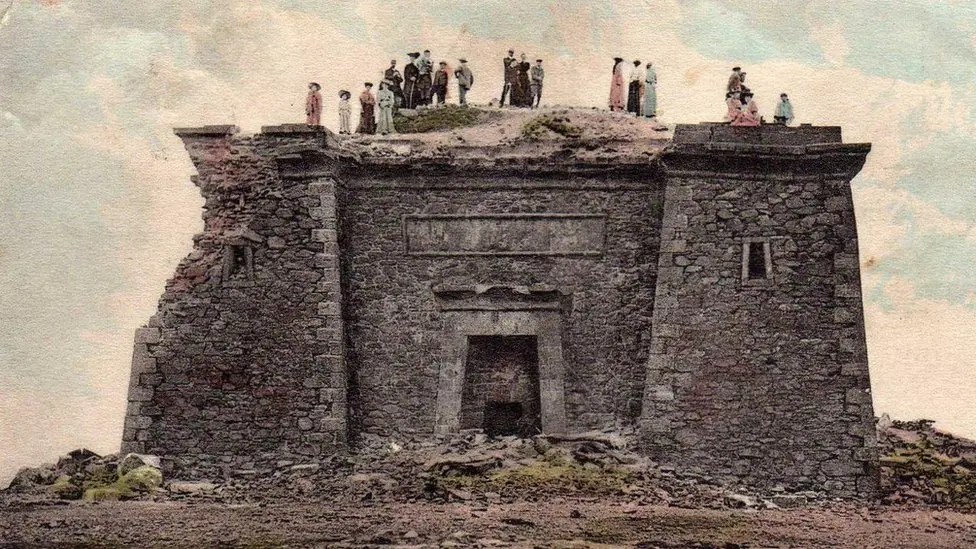
The Jubilee Tower in the Edwardian period

The Jubilee Tower in the Edwardian period. Source:  BBC News

The monument now survives as a battered plinth, 12-15m diameter, of roughly coursed rubble stone. Located on a mound which may be artificial. Each face has a central blind doorway of dressed stone, in simple Egyptian style, under a roll-moulded lintel; roughly hewn cornice or hoodmould.  Above these blind openings are broad rectangular panels of dressed freestone with roll-moulded surrounds. The corners of the monument have stone and concrete steps, starting from low square projections, which lead to the centre of the monument. Inside are the circular rubble stone footings of a former higher section of tower, 6m in diameter.  Around the outside of the monument is a renewed retaining wall 0.5-1m high, open at the corners. A plaque reads ‘Cefn Gwlad award 1970’, with Prince of Wales emblems.

The Egyptian Revival followed Napoleon’s invasion of Egypt in 1798.  He took with him over 100 specialists, the “savants,” amongst whom were artists and draughtsmen who recorded the ancient Egyptian temples.

One of the first and very popular books to publish these images was Dominique Vivant-Denon’s “Journeys in Upper and Lower Egypt” published in 1802.  Even before Jean-François Champollion’s translation of hieroglyphs in 1822, and over a century before Howard Carter’s discovery of the tomb of Tutankhamen in 1922, Egypt had wriggled its way firmly into the British imagination.  Even so, I would love to have been at the meeting where plonking a pseudo-Egyptian monument on the top of a remote beauty spot in honour of the king’s jubilee was presented as a such a good idea that people invested in it.


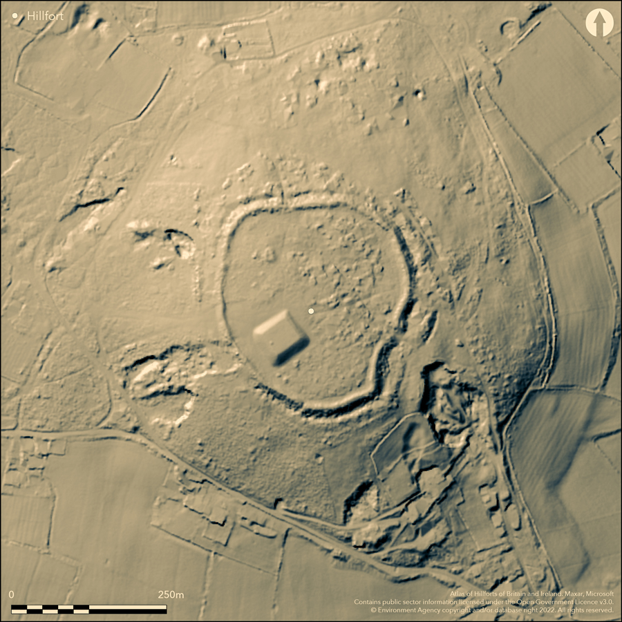
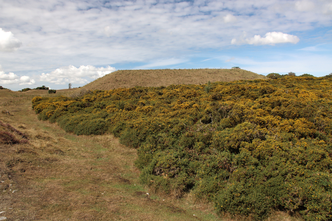
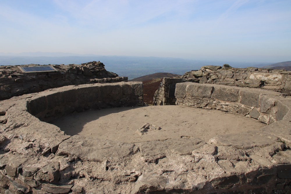
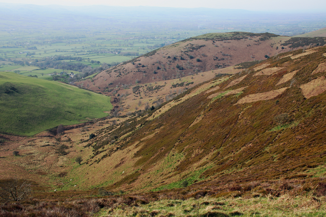
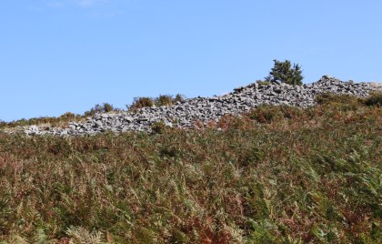
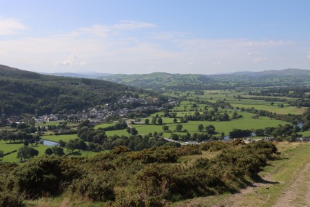
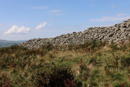
Moel y Gaer hillfort is the green beret on top of the pinkish-brown supr

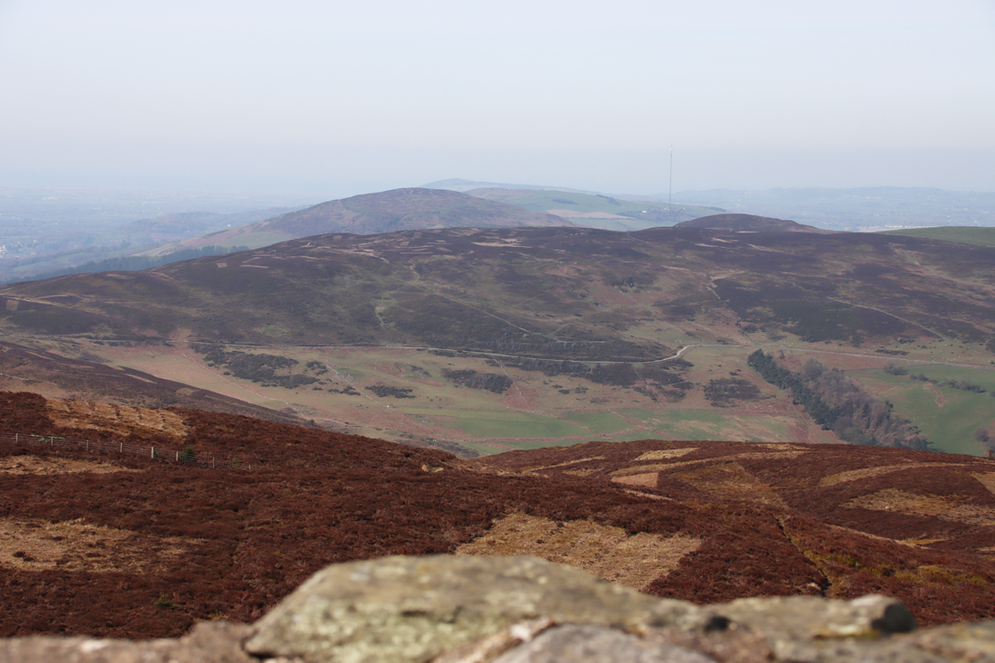
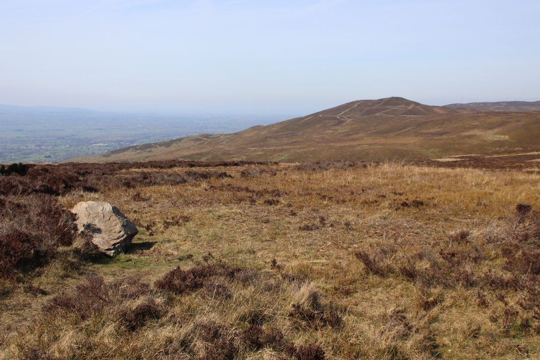
Also on the top of the temple are plaques showing the names of the hills all around, with Cadair Idris and Snowdonia visible as silvery silhouettes through the slight haze, and the Moel Arthur hillfort next along on the Clwydian Range.

Looking northeast towards Prestatyn across Moel Arthur and Penycloddiau hillforts from the top of Jubilee Tower

View from the main path to Moel y Gaer hillfort

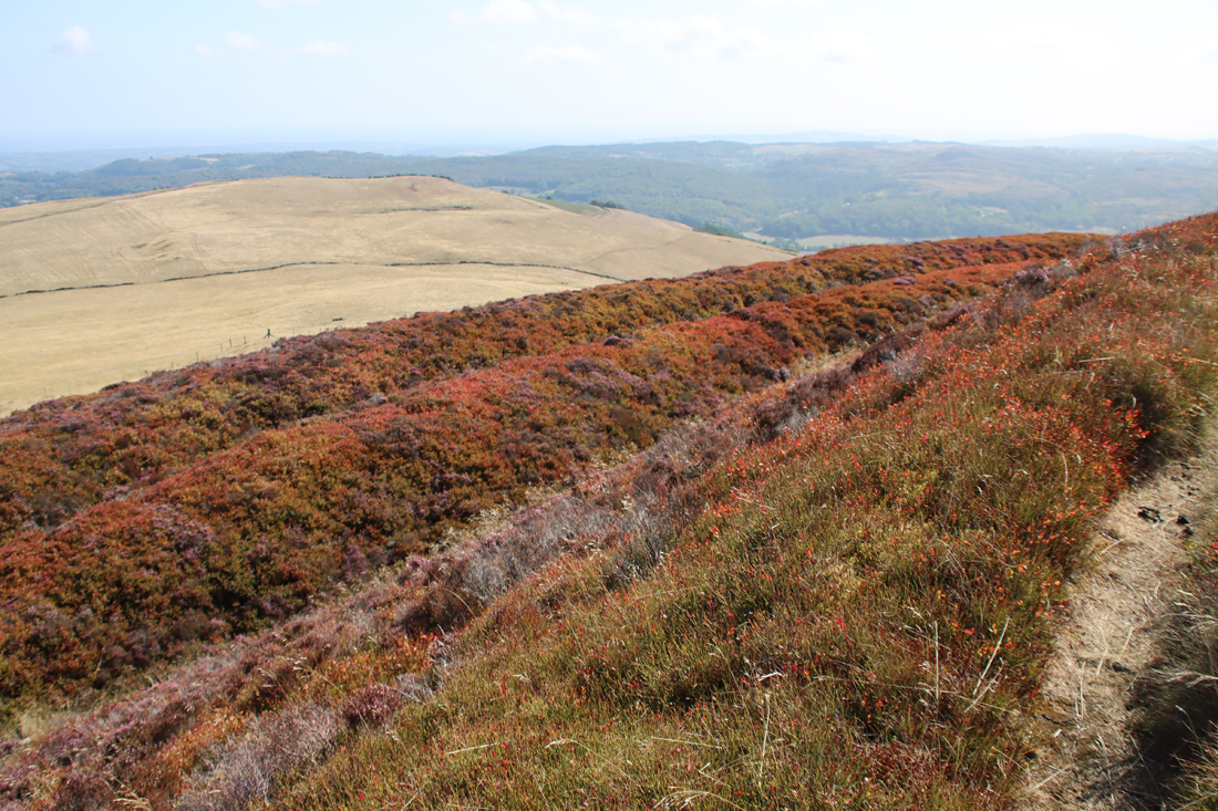
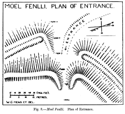
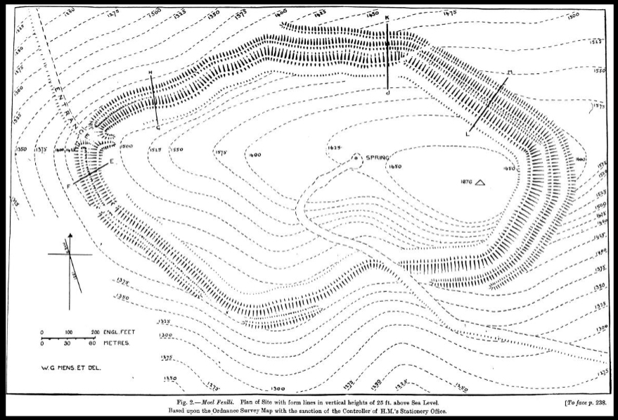
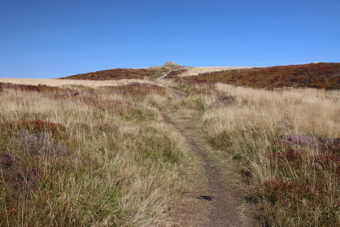
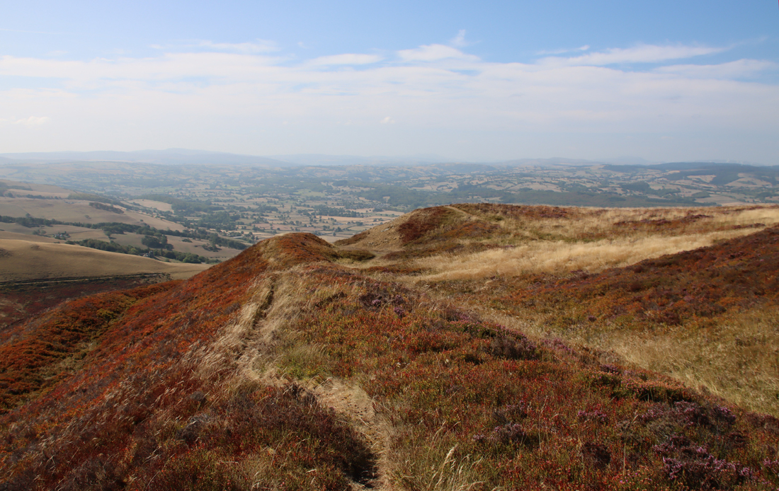
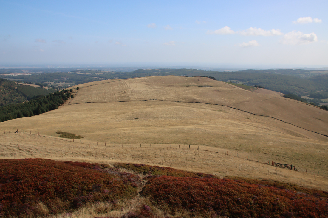
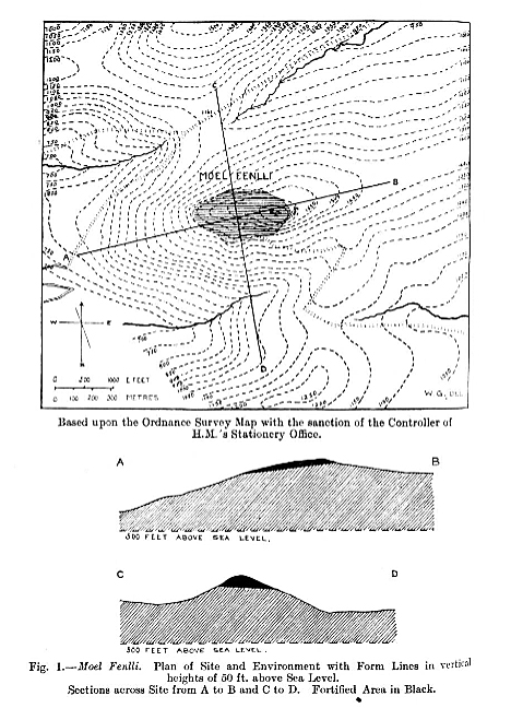
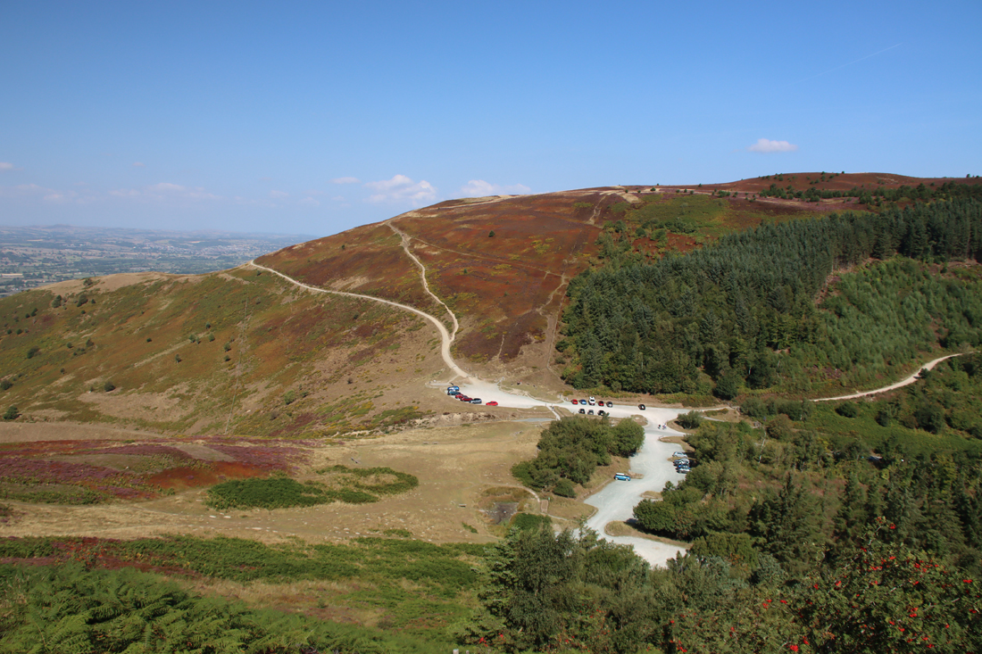
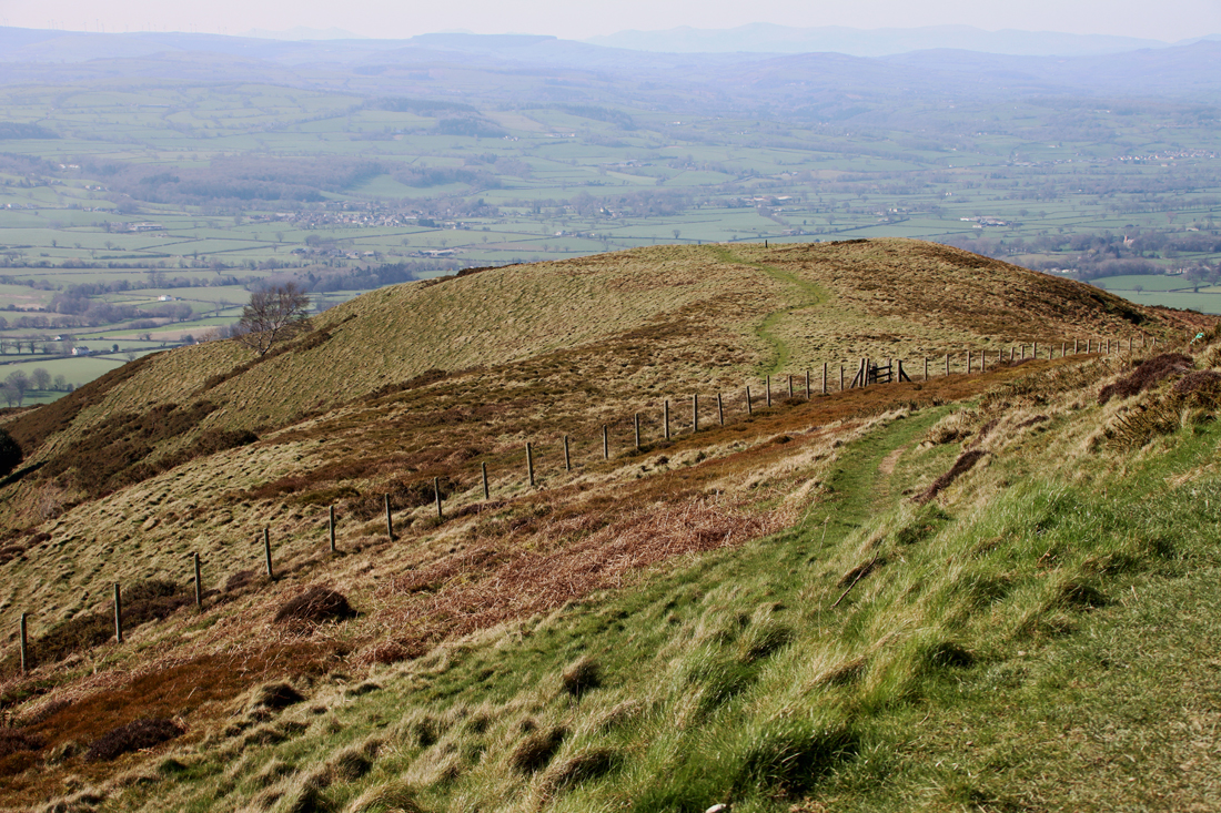
If you are a fan of the Iron Age this is a terrific walk.  The path passes Moel y Gaer, which sits on a spur of the hillside, and is a piece of absolute perfection.  It is not on a public footpath, but it is clearly visible from the main route up Moel Famau.  Its banks and ditches form an elegant tiara, and its position overlooking the Vale of Clwyd is superb.  Once you have reached the peak of Moel Famau, the hill housing the Moel Arthur hillfort is clearly visible, with Penycloddiau beyond.  Foel Fenlli is a walk in its own right, but it is an important part of the walk back down from Moel Famau, because its vast banks and ditches are clearly outlined against a bright sky, yelling its late prehistoric credentials, a far more aggressive and prominent statement than Moel y Gaer.

Impressive fortifications of Foel Fenlli

The impressive fortifications of Foel Fenlli, as seen from the Moel y Gaer path

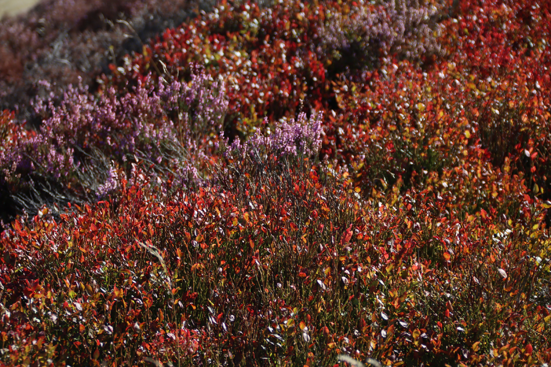
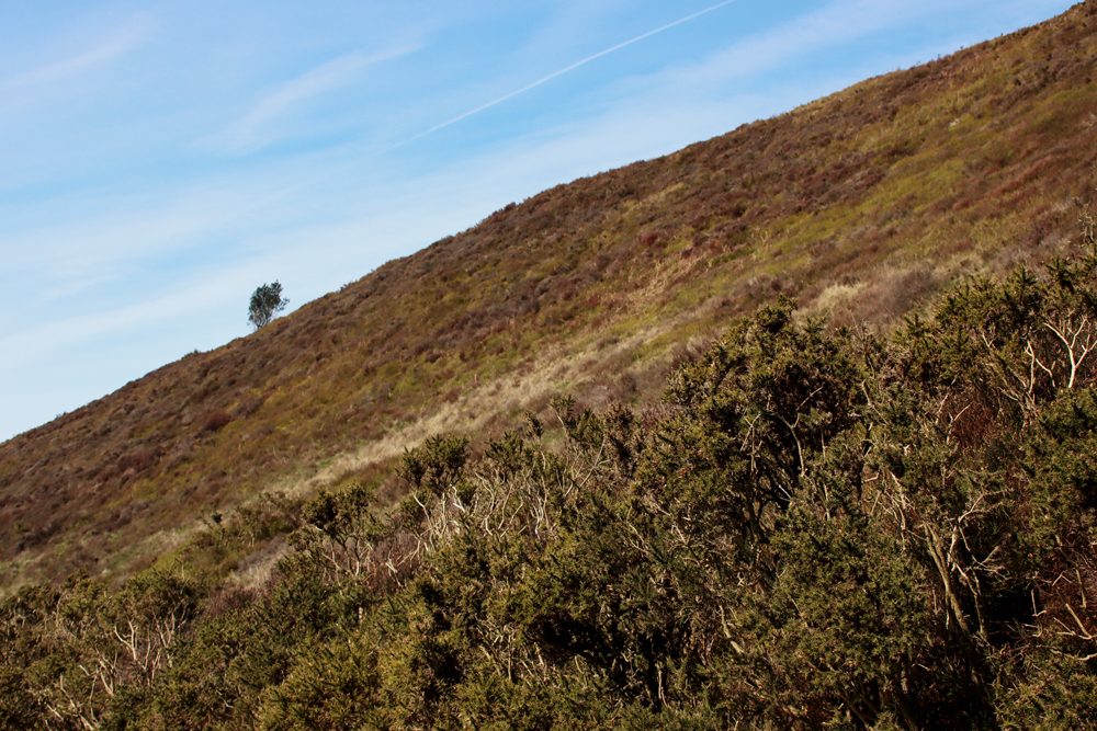
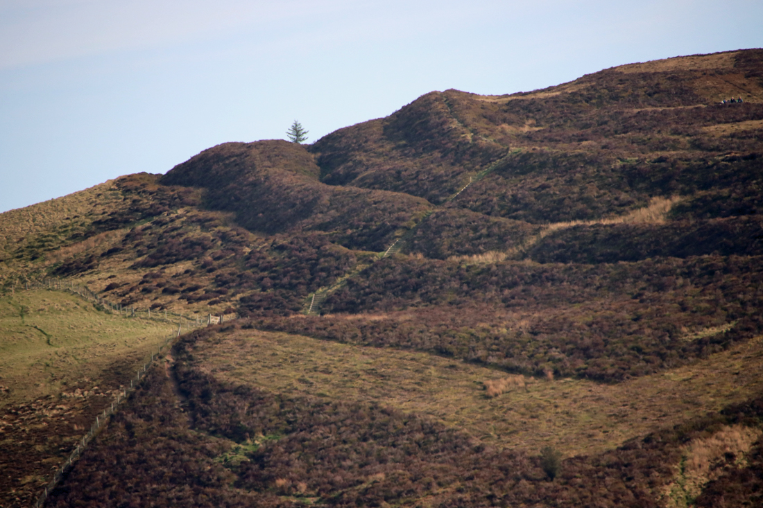
Apart from the acres of dark brown heather and the bright spring green of the valley below, there is not a lot of plant life to see at this time of year, although it is very striking without a floral contribution.  The heather, dark chestnut brown and lifeless at this time of year, has been cut into a peculiar pattern of rectangles to encourage new growth, apparently for the benefit of wildlife.  There is not much in the way of shrubs and the trees in the wood are conifer plantations. There are plenty of birds of prey if you have equipped yourself with binoculars.  I look forward to visiting again when the heather is in flower in late summer, which should be stunning.

It is about a 40 minute walk up, although I forgot to take a note of the times in either direction and have the impression that it took me only about half an hour back down, with extra time added for pausing to enjoy the views and for lazy mellowing and exploring the monument at the top.  I am something of a route-marcher, so that needs to be taken into account.  You can walk on beyond Moel Famau in various directions on public footpaths.  Most obviously the path continues, in a much narrower form, across the Clwydian Range, which looks like an absolutely splendid option.  If you have the energy, you can walk to the village of Bodfari, in another pass through the Clwydian Range, whilst the Offa’s Dyke Trail goes all the way to Prestatyn.  In the opposite direction, you can follow the route over Foel Fenlli all the way to Chirk, skirting the dramatic Eglyseg Mountain and passing Castell Dinas Bran and the Pontcysyllte aqueduct.

It was one of those spring days when everyone looked as though they had been released from a cage, shedding winter like a bad memory.  Super.  To read more about the environment and archaeology of the Clwydian Range and Llantysilio Mountains see the PDF produced by the Heather and Hillforts project. 


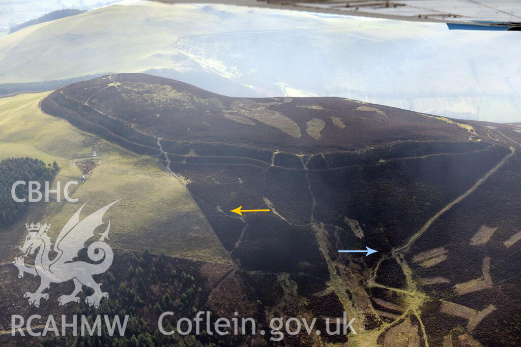
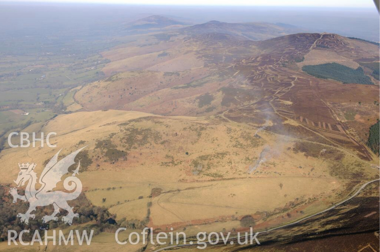
Aerial view of the Clwydian Range. Coflein image 662395. Source: Coflein


Exploring Maiden Castle Iron Age Hillfort, Bickerton Hill (mid-Cheshire Sandstone Ridge)

Introduction

Maiden Castle, Bickerton Hill, Cheshire

Artist’s imaginative interpretation of how Maiden Castle may have looked, based on information from both the site itself as well as from other excavated hillforts. As no excavations have taken place in the interior beyond the entrance area, the roundhouses and accompanying square structures are largely speculative.  Produced by the Habitats and Hillforts Project 2008-2012. Source: Sandstone Ridge Trust

Further to last week’s walk on Bickerton Hill, Maiden Castle sits on the route of the Sandstone Trail, on the northeast edge of Bickerton Hill (once known as Birds Hill), which is one of the Triassic red sandstone outcrops that make up the mid-Cheshire Sandstone Ridge.  It is the southernmost of six hillforts along the ridge (see topographical map below). A visit to the hillfort makes for a great walk with lovely views over the Cheshire Plain.

Traditionally hillforts were associated with the Iron Age, and in general the early and mid Iron Age periods, but modern excavations have revealed that many had their origins in the Late Bronze Age, that not all of them were contemporary, and some were re-used in the post-Roman period.  Some have a long sequence of occupation and abandonment, and many may have performed different functions, both in terms of geographical distinctions and even within localized areas.

Chronology of Sandstone Ridge hillforts. Source: Garner 2012

Chronology of Sandstone Ridge hillforts. Source: Garner 2012, p.9

All hillforts make use of the natural topography in order to provide their enclosures with good defensive potential, including good views over the landscape. Many strategic locations are also shared, either actually or conceptually, by medieval castles.

Some hillforts surround the very top of a hilltop, such as Beeston Castle on the Sandstone Ridge to the north (a location used by Ranulph III, 6th Earl of Chester, for his medieval castle), but others like Maiden Castle are located to take advantage of a natural drop on one or more sides to provide some of the defences.  These are usually referred to as promontory hillforts, and Maiden Castle is a good example. The built defences form a dog-leg curve that meets on either side of a slight projection over the steep drop of the Sandstone Ridge where it plunges down to the Cheshire Plain.  As well as reducing the amount of work required to provide defences for the site,  promontory forts could be just as visible as those that circled hilltops.  In the case of Maiden Castle, the height of the site (c. 698ft/212m AOD) and the views from its banks at the east of the hillfort also provide good views to the east.  Although it is at the highest point of Bickerton Hill, Maiden Castle only occupies a part of the high ground, presumably its size, smaller than most of its neighbours, sufficient for its needs.

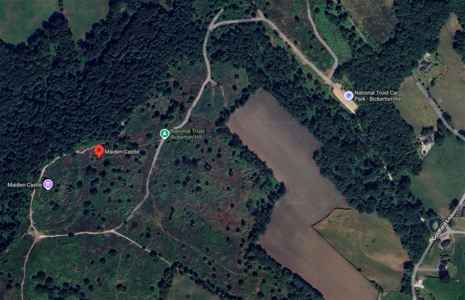
Google Map of Bickerton Hill and Maiden Castle

Google Map of Bickerton Hill and Maiden Castle. The purple marker shows the centre of the hillfort. The ditches between banks are visible as the darker arcing lines

Maiden Castle, in common with other hillforts, had no obvious source of water, and could not therefore withstand a prolonged siege, assuming that it had a defensive role.  In addition, any livestock herded on the outcrop would need to be returned to a water source.  Springs were available along other parts of the sandstone trail, many of which are now dry, and some wells mark access to water today, including Droppingstone Well at Raw Head, under 3km away, and the medieval well at Beeston Castle (now dry), but there were no rivers or streams nearby.  The nearest is Bickley Brook, around 2km to the east.  However, it is likely that there was a lot of standing water and ponds as well as a diversity of small and possibly seasonal wetland habitats that supported different types of wildlife, with a strong avian component.   It is interesting that of all the hillforts on the Sandstone Ridge, only Maiden Castle did not neighbour a river or well-sized mere, nor a well-fed stream or small mere.

Topographical map of the Cheshire Sandstone Ridge, showing Maiden Castle at the south end. Source: Garner et al 2012

The question of a water supply draws attention to the fact that the exact role of hillforts in this part of the country is not fully understood.  The often massive ditches and banks, the latter supporting additional structures such as palisades, were quite clearly intended to keep one set of people (and their possessions) in, and presumably another set of people out.  Specialized entrance designs reinforce this idea of controlled and limited access.  At some hillforts slingshot stones, usually interpreted as evidence of warfare, have been found including at the Sandstone Ridge hillforts Woodhouse and Eddibsury, made of rounded sandstone pebbles.  However, whether warfare is the correct model for the role of Cheshire hillforts is by no means clear.  Localized disputes such as cattle and grain raiding might be a more plausible scenario than all-out warfare, with the hillforts perhaps (speculatively) providing places of retreat from farmsteads dotted around the surrounding plains at times of threat.  The scale of investment in these structures certainly suggests that whatever their role, they were seen as necessary for local security, and probably for conveying territorial ownership and status as well.  An experiment to test inter-visibility between hillforts in northeast Wales and Cheshire, called the Hillfort Glow was undertaken in 2011 by the former Habitats and Hillforts. Sadly, the Habitats and Hillforts website is no longer available, but the experiment was reported on the BBC News website.  Ten Iron Age hillfort sites were included (on the Clwydian Range, Halkyn Mountain, the mid-Cheshire Sandstone Ridge, and at Burton Point on the Wirral).  It suggests that if allied groups wanted to communicate a threat to neighbours, they could do so quite easily, with Burton Point on the Wirral, for example, visible as far always as Maiden Castle 25km (15.5 miles) away, as well as nearer sites on the Clwydian Range.

Maiden Castle defences seen from the edge of the ridge

Maiden Castle defences as they look today, at the far south of the hillfort, seen from near the edge of the ridge, with the dark shadow marking the ditch, facing roughly to the east.

If you visit Maiden Castle in person (see Visiting details at the end for how best to locate it), you will find that the enclosure ditch between the two lines of rampart is clearly visible, although considerably less impressive than it would have been in the Iron Age, and you can walk along it very easily.  The photograph here shows it in late autumn afternoon light, with the ditch clearly marked by the line of shadow.

Excavations and surveys

Varley 1940, Maiden Castle plans, p.70-71

Varley 1940, Maiden Castle schematic plans, showing Varley’s illustrations of the defences, the entrance and the construction of the banks, showing the stone facings, figs.11 and 12, p.70-71

The Maiden Castle hillfort was first excavated by William Varley, (a geography lecturer at the University of Liverpool) and J.P. Droop (who was also involved in the Chester Amphitheatre excavations) over two seasons between 1934 and 1935, published promptly by Varley over two years in 1935 and 1936, after which Varley moved on to Eddisbury Hillfort near Frodsham.  In 1940, as the first of a new series of history books, The Handbooks to the History of Cheshire, he co-authored Prehistoric Cheshire with John Jackson, with illustrations, photographs, fold-out maps and a bibliography organized by archaeological period.

Varley’s published excavations at Maiden Castle were carried out to a very high standard.  As with the later book, he included plans and photographs of the entire site with particular emphasis on his excavations, which were focused on the northern end and included the entrance, and both outer and inner ramparts.

Maiden Castle showing how the inner bank was turned inwards to form a corridor entrance. Source: Varley 1936, Pl.XLIII

Maiden Castle, showing how the inner bank was turned inwards to form a corridor entrance. Source: Varley 1936

The excavations were very informative, confirming that there were two ramparts separated by a ditch and suggesting an additional ditch surrounding the entire defences.  A possible palisade trench under the outer of the two Iron Age ramparts is the only indication that he found of a possible pre-Iron Age line of defences.  The inner rampart was built using timber and sand, and was faced with stone on both sides.  The outer rampart was formed of sand and rubble, with the outer side also faced with stone.  The inner rampart enclosed an area of around 0.7ha, with an entrance at the northeast formed by turning both sides of part of the inner rampart inwards, to form a corridor c.17m long and 0.8m wide.  A pair of postholes set within the entrance area may have been gate posts.  The entrance in the outer rampart was a simple gap, lined up with the inner rampart entrance.  Varley believed that so-called guard chambers (by then identified at some other hillforts) once flanked the entrance, marked by archaeological surfaces, one of which produced a piece of Iron Age pottery.  However, no structural remains survived to substantiate this interpretation.  The ditch between the two ramparts is clearly visible today, particularly at the south end, but Varley also identified another ditch on the far side of the outer rampart, which appears to have been confirmed by the LiDAR survey carried out in 2010. Varley’s plans and photographs have contributed to more recent research and remain a useful resource.

William Varley’s photograph of the entrance of Maiden Castle. Source: Varley 1940, Plate VIII

xxx
Although no further excavations were carried out until 1980, a number of topographical surveys were undertaken in an attempt to clarify matters.  The 1980 excavation, published by Joan Taylor (University of Liverpool) in 1981, was undertaken in response to damage unintentionally inflicted on part of the ramparts by walkers, which revealed some of the internal burnt wooden construction material.  This was an opportunity to re-examine the construction methods and to send some of the charred wood for radiocarbon dating, which produced dates in two clusters, which were later calibrated (a form of correction) by Keith Matthews, then with the Chester Archaeology Service.  The results indicated that Varley’s instincts that the inner rampart predated the outer one were correct, producing a set around 860-330 cal.BC for the inner rampart and a set of 380-310 cal.BC on the outer rampart.

LiDAR clearly shows not only the banks and ditches but also the damage inflicted by stone quarrying both within and beyond the hillfort enclosure. Source: Garner 2012, p.50

LiDAR clearly shows not only the banks and ditches but also the damage inflicted by stone quarrying both within and beyond the hillfort enclosure. Source: Garner 2012, p.50

No further excavations have taken place at the site, but a the Habitats and Hillforts project undertook a number of non-invasive surveys of the site, reported in Garner’s 2016 publication.  The results of a LiDAR survey were reported, revealing that considerable damaged from later stone quarrying to the ramparts and the interior, as well as across the rest of the hill. It additionally confirmed that there were trenches from when the army had a training base and firing range at the site in the later 20th century.  Finally, geophysical surveys were carried out by Dr Ian Brooks in 2011, again reported in Garner 2016, which included both resistivity and magnetometry surveys, the latter producing signs of three possible roundhouses, one of which made up a full circle, their diameters measuring 6.9m, 7.8m and 9.2m.  This is a good indication of the potential of the site for producing further information, even with the probable  damage to parts of the archaeological layers from quarrying (marked on the LiDAR image below as irregularly shaped depressions), but not much else can be concluded without excavation.

Possible roundhouses revealed by geophysical survey. Source: Garner 2017, p.58

Possible roundhouses revealed by geophysical survey, shown in red, with irregularly shaped pits produced by later quarrying for stone. Source: Garner 2017, p.58

Summary of the amalgamated data

The structural character of the site

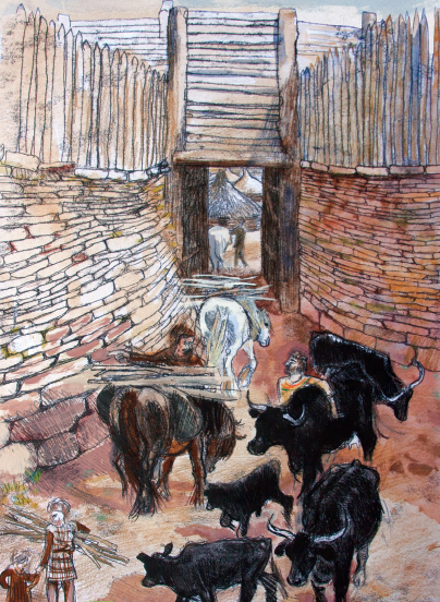
Artist's impression of how the main entrance into Maiden Castle may have looked.

Artist’s impression of how ta simple inturned entrance may have looked, with a palisade on what remains of the ramparts and a walkway over the gateway, with roundhouses just visible in the interior.  Source: Sandstone Ridge – Maiden Castle heritage leaflet

The site is defined by an interior sub-rectangular space enclosed on the east by a pair of ramparts, each with an external ditch, and on the west by an angled section of the precipice that once met up with either end of the ramparts, creating a complete defensible boundary.  There are good indications that when it was first built there was only one rampart.  A stone-faced entrance penetrated the ramparts at the northern end, with a corridor-style inturned section of the inner boundary, with postholes flanking the entrance suggesting that the interior was protected by gates.  Although the interior has been badly damaged by quarrying for stone, geophysical investigations have suggested that roundhouses were present within the enclosure.  The site had immensely clear views to the west, and good views to the east.

This is quite a small site compared to others nearby.  For example, it is around half the size of Helsby hillfort to which it is otherwise similar in appearance.  One suggestion is that it is more akin to an enclosed farmstead than a place for community aggregation and defence.  Having stone-lined ramparts, the site would have been both visible and impressive, perhaps a statement about social identity and affiliation with the land around the hill. Still, the addition of a second rampart argues that defence was an important aspect of the design.

Chronology

Walking along the ditch between the ramparts at Maiden Castle

Walking along the ditch between the ramparts at Maiden Castle

There is only faint evidence of a Late Bronze Age predecessor for the Iron Age hillfort, although this might be expected because Beeston Castle demonstrated clear Late Bronze Age structural features, and Woodhouse, Kelsborrow and Helsby all produced possible evidence of Late Bronze Age construction.  The only evidence is a possible palisade slot under the outer of the two Iron Age ramparts.  However, the level of disturbance created by stone quarrying in the interior may well have eliminated earlier data.  Unfortunately there were no diagnostic artefacts to assist with the question of dating but radiocarbon dates obtained during the excavations during the 1980s suggest that the inner rampart predates the outer rampart, with three radiocarbon dates from the inner rampart spanning 860 to 330 BC whilst those from the outer rampart included one of 380-10 BC.

Economic resources

There are few sites in the immediate area that provide insights into the economic activities in which the local communities were engaged, and what the local land might have supported, both in terms of lowland and upland exploitation of domesticated and wild resources.  The soil surrounding the outcrop was generally poorly drained leading to damp, sometimes seasonally waterlogged conditions.  That on the outcrop itself was shrubby heathland, good for livestock grazing but not for cultivation.

Beeston Castle as it might have appeared in the Iron Age. Source: Sandstone Ridge leaflet

Beeston Castle as it might have appeared in late prehistory. Source: Sandstone Ridge leaflet

There is no data about livelihood management and farming activity available from Maiden Castle, and it is anyway most likely that economic activity took place in the fields below, although it is possible that a site like Maiden Castle would be used to store edible and other resources.

A good idea of what might have been available to the occupants of all the hillforts on the Sandstone Ridge comes from excavations at Beeston Castle, the next hillfort to the north.  Between 1980 and 1985 soil samples were taken during the excavations, focusing on areas most likely to provide information about the use of structures. 60,000 cereal items were recovered.  Emmer and spelt wheat dominated.  Spelt is more tolerant of poor growing conditions, requires less nitrogen to grow, has better resistance to disease and pests, is more competitive against weeds, more tolerant of damp soil conditions, including waterlogging, and can be used to make bread without yeast.  On the other hand, the processing stage is very labour intensive.  Emmer wheat is only reasonably tolerant of damp growing conditions, makes a denser bread that is higher in protein, and is a lot easier to process.  They can be grown separately or as a mixed crop.  Grains of hulled barley were also found at Beeston, but in smaller numbers, possibly due to it being much less tolerant than either emmer or spelt to damp conditions.  Oat was found in the samples, although it is not know whether this was a domesticated or wild crop.  Wild species in the samples that could have been used as a food source were hazelnuts and fruits of the Rubus genus (blackberry, raspberry and/or damsons) and fruits of the Prunus genus (sloe, cheery, and/or plum) and elder berry.

View towards the Clwydian Range across the Cheshire Plain

View towards the Clwydian Range across the Cheshire Plain

There is a dearth of lowland sites known in the area.  Standing on the top of Maiden Castle’s ramparts and looking to the east and west, with views across both the flat stretches of the western part of the Cheshire Plain and the more undulating topography to the east, it is not difficult to imagine Iron Age farmsteads dotting the landscape in a similar way to modern farms today, either enclosed in a ditch and bank arrangement, or simply unenclosed. Even so, a number of such farmstead settlements are known to the west of the Cheshire Ridge as far as (and including) the Wirral, together with some very rare examples of field systems.

The nearest lowland site is Brook House Farm, Bruen Stapleford, around 11km (c.7 miles) away as the crow flies.  Very little animal bone was found, probably due to the acidic soil, but included a pig tooth, a piece of sheep/goat/roe deer-sized animal bone, and a few fragments of cow teeth.  The poorly drained damp plain would not have been suitable for sheep, although entirely suitable for cattle and pigs.  It is worth bearing in mind that the sort of higher ground represented by Bickerton Hill would have been ideal for allowing sheep to roam and feed off upland grasses and shrubs, representing a rare opportunity in Cheshire, should it have been required, for this type of economic diversification, but they would have required access to water when feeding lambs or if used for milk production.  Lowland conditions would also have favoured the herding of livestock, and would have been suitable too for raising pigs and horses.

Brook House Farm. Structures 3 and 4. Fairburn et al 2002, p.14, fig. III II.4

Brook House Farm. Structures 3 and 4. Fairburn et al 2002, p.14, fig. III II.4

Just as today, the underlying geology and soils would have placed limits on what could be grown agriculturally on the Cheshire Plain.  At Brook House Farm plant remains included bread-type wheat emmer or spelt, and some hulled barley.  There was a relatively high proportion of grassland species, suggesting that damp slow-draining grassland may have dominated in the area, which would be more suitable for hay production and livestock grazing than crop cultivation.

The combination of crops and livestock using both lowland and upland areas would have been a good way of diversifying economic output, making the most of the environment, and spreading the risk that subsistence strategies would have faced, even when planning on creating a certain amount of surplus for over-wintering and for trade. It has often been suggested that hillforts may have had multiple roles either simultaneously or consecutively over time, and one of those roles may have been storage of surplus grains, preserved meats, salt and items for trade.

Assuming that those sites to the west of Maiden Castle (and the other west-facing Sandstone Ridge hillforts) had clear lines of visibility to the lowland sites on the Cheshire Plain, and vice versa, it would have been just as straight forward to establish visual communication between the lowland sites and the hillfort, as it was between contemporary hillforts.

Final comments

View across to the east from the outer rampart

View across to the east from the outer rampart

At the moment, hillforts and lowland settlements during later prehistory are not well understood in the Cheshire area.  This is partly because relatively few have been comprehensively excavated, but also because lowland sites are particularly difficult to locate.  Where sites are excavated, local conditions are not favourable to the preservation of organic materials, and most of them produce few artefacts.

The relationship between hillforts and lowland settlements is also poorly understood.  As more of these small farmsteads are identified and excavated, the picture should eventually become a lot clearer, but a number of sites have been identified to date not by crop marks but by accidental discovery during construction works such as pipe and cable laying and housing developments.  It could be a long haul.

In the meantime, sites like Maiden Castle, with their earthworks dating back over 2000 years, are a pleasure to visit and to get to grips with.  When there are stunning views into the bargain, there is a lot to love!


Visiting

Google Map of Bickerton Hill and Maiden Castle

Google Map of Bickerton Hill and Maiden Castle approached from the Goldford Lane car park.

This is a very enjoyable and popular place to visit, managed by the National Trust, and provided with two car parks, one on each side of the hill.  Although not well sign-posted, there is plenty of parking provided by the National Trust.  I used the Goldford Lane car park, which is well-sized (copy over from my walk).  The hillfort can be incorporated into a circular walk that includes Brown Knowle.  The views from the top of the ridge are superb.  See full details, including the leaflet that describes the route for the Brown Knowle walk at the end of my previous post about walking on Bickerton Hill, including a What3Words address for the car park.

Information about Maiden Castle at the site. Click to enlarge.

Information panel at the site about Maiden Castle and the heathland in which it sits. Click to enlarge.

Finding the hillfort is a matter of keeping your eyes open for the information plinth where the footpath opens into in a wide clearing with a bench and terrific views, at the highest point of the hill. It can be seen in the Google satellite photograph above as the scuffed area to the bottom left of the picture.  If you take the lower of the two paths from the car park, skirting the bottom of the hillfort, you will see the information board easily, but if you take the upper path along the ridge, it is actually facing away from you downhill and is easy to miss.

Walking the ditch between the ramparts is easy enough, but note that the banks are covered in low shrubs and brambles that make it quite hard going underfoot, as the ground is completely invisible and very densely covered in a tight network of shrubby material.  However, the views to the east are impressive from the outer rampart.  The same can be said for the interior, which is also covered with dense low shrubs and bracken.  The thought of excavating it makes me ache all over!

You can read much more about Maiden Castle and other archaeology, geology and landscape on the Sandstone Ridge in the sources below.

For other Iron Age sites written about on this blog, see:

Beneath Chester’s Roman Amphitheatre – the Iron Age buildings and fields
https://basedinchurton.co.uk/2026/06/02/beneath-chesters-roman-amphitheatre-the-iron-age-buildings-and-fields/
Burton Point: The small and rather puzzling Iron Age promontory fort on the Wirral
https://basedinchurton.co.uk/2026/04/11/the-small-and-rather-puzzling-burton-point-promontory-hillfort-on-the-wirral/
Sunshine, archaeology and great views at Caer Drewyn Iron Age hillfort at Corwen near Llangollen
https://basedinchurton.co.uk/2023/09/11/sunshine-and-great-views-at-caer-drewyn-iron-age-hillfort-at-corwen/


Sources

Books and Papers

Driver, Toby 2013. Architecture Regional Identity and Power in the Iron Age Landscapes of Mid Wales: The Hillforts of North Ceredigion. BAR British Series 583

Ellis, P. (ed.) 1993.  Beeston Castle, Cheshire. Excavations by Laurence Keen and Peter Hough, 1968-1985. English Heritage
https://archaeologydataservice.ac.uk/archiveDS/archiveDownload?t=arch-1416-1/dissemination/pdf/9781848021358.pdf 

Fairburn, N., with D. Bonner, W. J. Carruthers, G.R. Gale, K. J. Matthews, E. Morris and M. Ward 2002. II: Brook House Farm, Bruen Stapleford. Excavation of a First Millennium BC Settlement.  Journal of the Chester Archaeological Society, new series 77, 2002, p.9–57
https://archaeologydataservice.ac.uk/archiveDS/archiveDownload?t=arch-2910-1/dissemination/pdf/JCAS_ns_077/JCAS_ns_077_008-057.pdf

Garner, D. (and contributors) 2012. Hillforts of the Cheshire Sandstone Ridge. Habitats and Hillforts Landscape Partnership Scheme. Cheshire West and Chester Council.
https://www.sandstoneridge.org.uk/lib/file-234636.pdf

Garner D. (and contributors) 2016. Hillforts of the Cheshire Ridge. Investigations undertaken by The Habitats and Hillforts Landscape Partnership Scheme 2009–2012. Archaeopress
Abridged version available online, minus appendices (there is no index in either print or online versions, but you can keyword search the PDF):
https://www.researchgate.net/profile/Peter_Marshall14/publication/313797404_Hillforts_of_the_Cheshire_Ridge_Investigations_undertaken_by_The_Habitats_and_Hillforts_Landscape_Partnership_Scheme_2009-2012/links/58a6860aa6fdcc0e078652a7/Hillforts-of-the-Cheshire-Ridge-Investigations-undertaken-by-The-Habitats-and-Hillforts-Landscape-Partnership-Scheme-2009-2012.pdf?__cf_chl_tk=hzbN0_un1j_np6Me4Z0bWxtROgI9juclGR.5XFzS5iY-1764184426-1.0.1.1-RsTsNKNPcI.Zt7JSR8rdabCJKMfRvmSXkjpGJZHx31c
Some of the unpublished reports commissioned during this project, as well as some of the tables that are too small to read properly in the printed versions are currently available at http://bit.ly/2ghWmze.

Matthews, Keith J. 2002. The Iron Age of Northwest England: A socio-economic model.  Journal of the Chester Archaeological Society 76, p.1-51
https://www.academia.edu/900876/The_Iron_Age_of_North_West_England_A_Socio_Economic_Model

Schoenwetter, James 1982. Environmental Archaeology of the Peckforton Hills. (2-page summary). Cheshire Archaeological Bulletin, No.8., p.

Schoenwetter, James 1983. Environmental Archaeology of the Peckforton Hills.
https://core.tdar.org/document/6256/environmental-archaeology-of-the-peckforton-hills

Smith, M., Russell, M., and Cheetham, P. 2025. Fraught with high tragedy: A contextual and chronological  reconsideration of the Maiden Castle Iron Age ‘War Cemetery’ (England). Oxford Journal of Archaeology, 44: p.270295
N.B. – This refers to Maiden Castle in Dorset.

Internet Archive: https://onlinelibrary.wiley.com/doi/epdf/10.1111/ojoa.12324

Taylor, Joan. 1981. Maiden Castle, Bickerton Hill, Interim Report. Cheshire Archaeological Bulletin 7, p.34-6

Varley, William 1935.  Maiden Castle, Bickerton: Preliminary Excavations, 1934. University of Liverpool Annals of Archaeology and Anthropology, vol.22, p.97-110 and plates XV-XXII
Internet Archive: https://archive.org/details/annals-of-archaeology-and-anthropology_1935_22_1-2/mode/2up

Varley, William 1936.  Further excavations at Maiden Castle, Bickerton 1935. University of Liverpool Annals of Archaeology and Anthropology, vol.23, p.101-112 and plates XLIII-L
https://dn720408.ca.archive.org/0/items/annals-of-archaeology-and-anthropology_1936_23_3-4/annals-of-archaeology-and-anthropology_1936_23_3-4.pdf

Varley, William 1948.  The Hillforts of the Welsh Marches.  The Archaeological Journal, vol. 105, p.41 – 66
https://archaeologydataservice.ac.uk/archiveDS/archiveDownload?t=arch-1132-1/dissemination/pdf/105/105_041_066.pdf

Varley, William and John Jackson 1940. Prehistoric Cheshire. Cheshire Rural Community Council

Websites

BBC News
North Wales hillfort test of Iron Age communication
https://www.bbc.co.uk/news/uk-wales-north-east-wales-11832323

Heritage Gateway
Maiden Castle, Bickerton, Hob Uid: 68844
https://www.heritagegateway.org.uk/Gateway/Results_Single.aspx?uid=68844&resourceID=19191

Historic England
Maiden Castle promontory fort on Bickerton Hill 700m west of Hill Farm
https://historicengland.org.uk/listing/the-list/list-entry/1013293?section=official-list-entry
Hillforts. Introductions to Heritage Assets
https://historicengland.org.uk/images-books/publications/iha-hillforts/heag206-hillforts/

Natural England
https://nationalcharacterareas.co.uk/

National Character Area 61 – Shropshire, Cheshire and Staffordshire Plain
Key Facts and Data

https://nationalcharacterareas.co.uk/shropshire-cheshire-and-staffordshire-plain/key-facts-data/
Analysis: Landscape Attributes and Opportunities
https://nationalcharacterareas.co.uk/shropshire-cheshire-and-staffordshire-plain/analysis-landscape-attributes-opportunities/
NE556: NCA Profile: 61 Shropshire, Cheshire and Staffordshire Plain, PDF
https://publications.naturalengland.org.uk/publication/6076647514046464?category=587130

National Character Area 62 – Cheshire Sandstone Ridge
Description

https://nationalcharacterareas.co.uk/cheshire-sandstone-ridge/description/
Key Facts and Data
https://nationalcharacterareas.co.uk/cheshire-sandstone-ridge/key-facts-data/
Analysis: Landscape Attributes and Opportunities
https://nationalcharacterareas.co.uk/cheshire-sandstone-ridge/analysis-landscape-attributes-opportunities/
NE551: NCA Profile: 62 Cheshire Sandstone Ridge, PDF
https://publications.naturalengland.org.uk/file/5228198174392320

Sandstone Ridge Trust
Maiden Castle: An Iron Age cliff edge fort (2-page PDF leaflet)
https://www.sandstoneridge.org.uk/lib/file-323322.pdf
Circular walks that include hillforts of the Cheshire Sandstone Ridge
https://www.sandstoneridge.org.uk/discovering/walks-february.html


Prehistoric Cheshire


Sunshine, archaeology and great views at Caer Drewyn Iron Age hillfort at Corwen

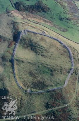
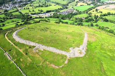
Caer Drewyn aerial photograph. The entrance at the top is at the northeast. Source: Cadw

Caer Drewyn is an Iron Age hillfort located a mile north of Corwen, with remarkable stone-built defences all around its perimeter, and terrific views in all directions.  Happily, it is accessible to the public, with a relatively easy footpath that works its way gently around the hill to the northeast entrance.

This post begins with a brief description of Caer Drewyn the Iron Age archaeological site (it is worth reading either this or another description before you visit, as there is no information signage at the site), and finishes with the the walk and views, from the car park via the farm track to the top, and back partly via the track, but also using a different, steep footpath that shortens the route.

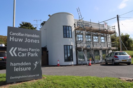
If you use the What3Words app, you can find the hillfort at ///kitchen.quaking.segments.  Leaflets promoting local walks indicated that it was acceptable to park at the Corwen Leisure Centre, just to the north of Corwen (via Green Lane from the A5, postcode LL21 9RW).

Caer Drewyn

Willoughby Gardner’s 1922 sketch of the position of Caer Derwyn on the slope rather than around the peak of the spur.

Caer Drewyn is located on a spur projecting south and west into the Vale of Ederinion in the upper valley of the river Dee, some 800-985ft above sea level and, at its south, 500ft (152m) above the Dee floodplain.  The aerial photo shown at the top of the post gives some idea of the way in which the site dips fairly steeply from east to west over two loosely defined natural terraces. 

Caer Drewyn is defended by vast stone defences, spreading to beyond 15ft wide in places.  They do not merely defend a particular weak point; they enclose the entire perimeter – and there is an awful lot of perimeter to defend (3 hectares / nearly 7.5 acres, measuring c.629ft / c.192m north-south by 705ft / 215m east-west).  This sort of stone defence is not unique.  There are a number of examples in Ceredigion and in south Merioneth (e.g. Craig yr Aderyn, and Castell y Gaer) both on or near the mid-west Wales coast, with which the area may have had contact via the route that follows a geological fault-line. Other similar examples are further afield in northwest Wales including the famous Tre’r Ceiri on the coast of the north Llyn Peninsula, which has a complete stone perimeter and includes very clearly visible hut circles within.

Although parts of the stone walls were cleared of bracken and other vegetation in the late 19th and early 20th centuries, ahd graving sheep help to keep it down, Caer Derwyn hillfort has not been excavated, so all knowledge is based on observation of the extant features.  According to the Coflein website, the hillfort was probably developed over at least three phases.  

The earliest phase is thought to have consisted of a smaller curvilinear earthwork at the northeast of the hillfort that stands today, and survives in part as an earthwork outside and to the east of Caer Drewyn.  This can be seen on the aerial photograph at the very top of this post.

The next phase is the vast rubble-walled site that dominates the hill today.  This later hillfort was defined by the stone rampart, which Willoughby Gardner describes  in his 1922 paper as  consisting “of a core of rubble stones, faced on either side with a wall of dry masonry.”  These surviving patches of stone facing may suggest that the rampart may have been equipped with an inner wall-walk.

Instead of sitting around the peak of the spur, the hillfort actually sits on the slope, meaning that the interior can be seen from below.  Like many hillforts, it is ideally located for visibility over the landscape, in this case with views over the surrounding area, including the valleys of the rivers Dee and Alwen, which meet just to the east, the Berwyns to the south and the north and east across to the rest of the Clwydian range.  These views are wonderful on a clear, bright day.  Toby Driver points out that in spite of the defences, the above-mentioned fact that the interior of the hillfort can be viewed from below somewhat undermines its strategic value.

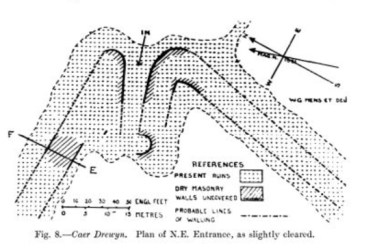
Willoughby Gardner’s 1922 plan of the northeast entrance of the hillfort

The hillfort could be approached from the west and the northeast, where the two entrances were in-turned, a typical feature of many hillforts that helps to control access to the interior.  Willoughby Gardner says that there was a spring a short way down from the west entrance.  The entrance in the northeast corner where the cairn is located, which is the highest point of the site and shown clearly bottom right of the aerial photo below, may have featured a guard chamber, another characteristic feature, suggested by the complex jumble of stone that implies at least one additional feature at the entrance.  Willoughby Gardner estimates a 12ft diameter. So-called guard chambers are recesses in the entrance passages hillforts, mainly in north Wales and the Welsh Marches, but the name does not mean that the function of these recesses is actually understood, and they may have been used for some sort of religious or alternative function.

You can see circular dips dotted here and there in the walls.  These may or may not be relatively modern features.  They were there in 1887 when the Reverend Hugh Pritchard was investigating.  One interpretation is that they could have been grouse butts (small enclosures used as grouse-shooting positions), but this is unsubstantiated.  You can see some of them most clearly in the aerial image below.

Caer Drewyn showing northeast entrance, annex, and circular depressions in walls. Source: Peoples Collection Wales

The interior surface has been examined by Willoughby Gardner in 1922 and by the Engineering Archaeological Services (EAS) in 2006.  Willoughby Gardner comments that there are circular structures within the hillfort.  He casts doubt on them being original because in his experience wattle-and-daub or wood was the favoured material for hut circle construction.  The EAS, acting on behalf of the Heather and Hillforts Landscape Partnership Scheme (Denbighshire County Council) carried out a topographical survey which identified eight possible hut platforms within the walls.  Apparently aerial photographs taken in low winter light confirm hut-like shapes in the central and eastern parts of the enclosure.  I had a poke around for anything resembling them on the ground, but could find nothing amongst the bracken.  Winter, when the vegetation has died down a bit, would be a better time for that sort of optimistic activity.  

To the south and southwest there are views over Corwen, the Berwyns and into the far distance.  There is excellent line of sight from Caer Drewyn to other hilltops, some of which housed other hillforts that may or may not have been contemporary.  I walked all the publicly accessible hillforts in the southern Merioneth area in mid west Wales a couple of years ago my write-ups here), and each of them had a clear line of sight to one or more neighbouring hillforts, which would make sense both for mutual support and maintaining lines of communication amongst friendly neighbours, and for keeping an eye on any hostile neighbours.

Caer Drewyn. Photograph by Llywelyn2000, CC BY-SA 4.0. Source: Mapcarta

A third phase apparently added a small  trapezoidal annex to the north-east of the fort, which employs the earliest earthwork of the hillfort.  In the aerial photograph above and to the right you can see one very clearly on the left, but there are others visible on some photographs, much fainter, which may also be hut circles.  There is nothing to indicate a date, but Coflein suggests that it may have been added after the hillfort had gone out of use in the Romano-British period, presumably because of the  possible hut circles, but it could equally have been much later.

Without excavation it is impossible to know how the interior of either earlier or later hillfort forms, or the annex were used, or to know for sure the period over which they were used. 

The term “hillfort,” combined with defensive structures such as banks, ditches, stone walls, defended entrances give the impression that these were built primarily for exclusively military purposes, but it is by no means certain that this was there only purpose or even, in some cases, their primary purpose.  Secondary uses could include storage of agricultural output, protection for livestock, and a visible territorial marker in the landscape. There is no room here to enter into a discussion on the subject, but if you are interested have a look at Toby Driver’s 2018 online paper on the subject (free to access): New Perspectives on the Architecture and Function of Welsh Hillforts and Defended Settlements.  Whatever their primary and secondary purposes, the sheer amount of work that goes into an enterprise like this, or a banked-and-ditch hillfort is considerable, and there was certainly a very desirable outcome in mind when a hillfort was embarked upon.

The site continues to be used for grazing sheep, and it is recorded that it was used as a hafod (seasonal grazing) in around 1600.  It is reputed to have been used as temporary bases for Owain Gwynedd in the 12th century during his conflict with Henry II, and by Owain Glyndwr during his rebellion in 1400.  There is apparently no actual data to support either theory.
———-

Visiting details: parking, the walk and the views

I was advised that it was acceptable to park at the Corwen Leisure Centre, just to the north of Corwen (via Green Lane from the A5, postcode LL21 9RW).  When I arrived, there were only three other cars there, and no signage to indicate that parking was restricted.  By the time I returned to the car a couple of hours later mine was the only car in the car park, so I didn’t feel that I was intruding.

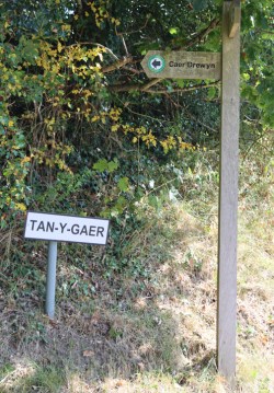
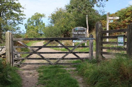
Walking up to the road from the car park, turn left (east).  There is no pavement, just a narrow grass verge, but you are going a very short distance, just a few metres, before a wide farm track is clearly signposted to Caer Drewyn on your left.

Follow the attractive track for a few minutes, past a couple of farm buildings on your right.  You will reach a gate.


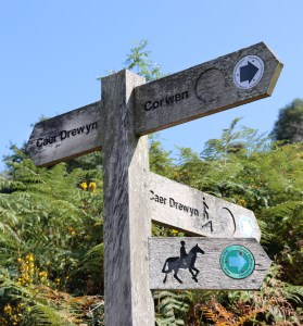
On the other side of the gate is another signpost that gives a few options.

—–

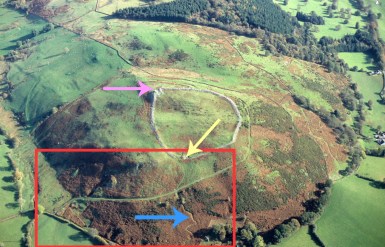
The red box shows part of the farm track taking the easy route up the side of the hill towards the highest part of the hillfort and the northeast entrance (pink arrow). The blue arrow shows the steep footpath that cuts off a corner of the easier route. The yellow arrow shows the lowest point of the hillfort, which is also an access/exit point. Click image to enlarge. Copyright CPAT. Source of image: Britnell and Sylvester 2018

For Caer Drewyn you can either turn left and follow the farm track, or go straight ahead on a very small footpath straight uphill, which intersects with the farm track at a much higher level. Looking at the aerial photo to the left, it should be possible, although I didn’t realize at the time, to cross over the farm track (or, if you are on the farm track turn left at the point where it intersects with the footpath) to go up to the very lowest point of the hillfort defences and the western entrance.  I wouldn’t, myself, because I really enjoyed the views from the farm track.  It would make a shorter and easier walk for anyone who follows the track to the northeast entrance but doesn’t want to do a full circuit of the hillfort, to follow one set of walls down to the bottom of the hillfort and exit back to the farm track or footpath via the lower entrance.

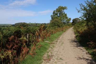
The farm track is the easy option, so I decided to follow this and, on my return journey, take the footpath down.  I would strongly advise that you take the farm track either on your ascent or descent, because the views are so terrific, and you will miss some of them if you confine yourself to the footpath.

The farm track heads west for a short distance on the level, and then you will reach another signpost that points you right, uphill through a gate that has a walk-around on its right.  Take the uphill option that takes you relatively gently across the side of the hill towards the northeast entrance.  This is uphill all the way and although not particularly steep on the seethingly hot day on which I walked it, it was noticeable.


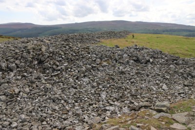
As you climb towards the top of the hill, you will suddenly see some stone rubble on the left, like a massive fallen drystone wall.  This is the hillfort perimeter.  Continue to follow the farm track, running parallel to the walls.  You will eventually reach a gate, which is the end of the line.  Ahead of you is a superb view to the east, and on your left, just a few metres behind you, is a mass of stonework including a roughly conical pile of stone which is a useful point to orient yourself.  This is the northeast corner and marks the following in-turned entrance and possible guard house.  From the cairn you can see for miles and miles around.  The landscape is truly stunning.  You can also see the stone defences heading out in both directions, plunging away to your right down the slope and following the ridge left before then, too, plunging downhill.

It is easy to walk the entire perimeter because all you have to do is follow the stone boundaries, but do take into account when you are heading downhill towards the far eastern extent, that you will have to walk all the way back up again if you want to do the full perimeter back to the cairn!  Alternatively, head out of the well-worn exit at the bottom end of the hillfort to rejoin the farm track.

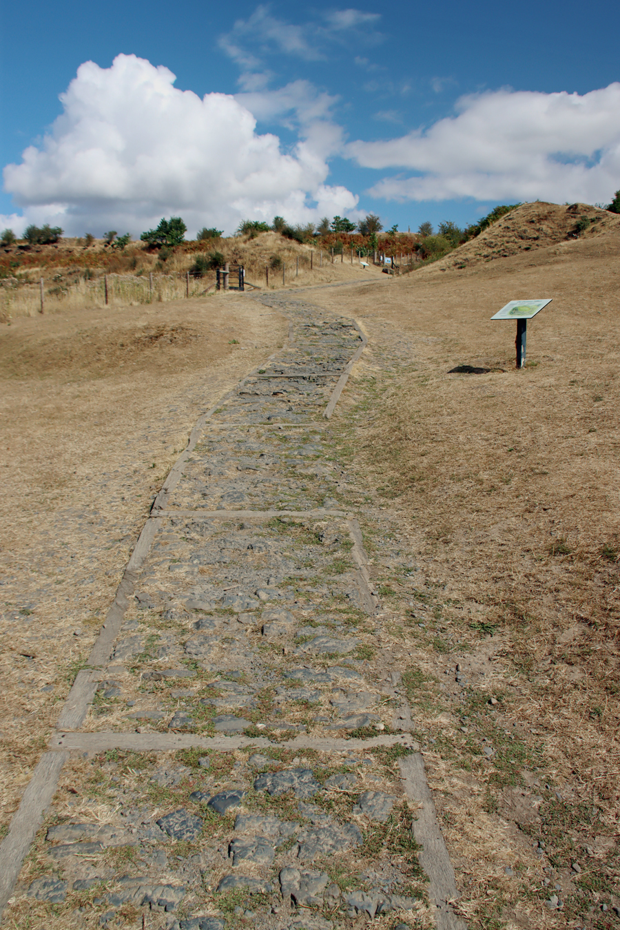
View over the enclosure towards the west

Looking back up the hill along the northern rampart

The interior showing the topographical tilt to the west

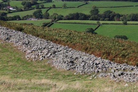
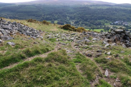
Although there are tracks inside the hillfort, many of them created by sheep, there are no formal pathways and if you leave the trackways, it is very uneven underfoot, with the danger of turning an ankle.  I was wearing tried and tested breathable but very solid hiking trainers that are fabulous on hot days, but it would have been better to have worn summer-weight hiking boots with good ankle support.

Well worn access to and exit from the hillfort at the bottom

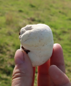
Puff ball

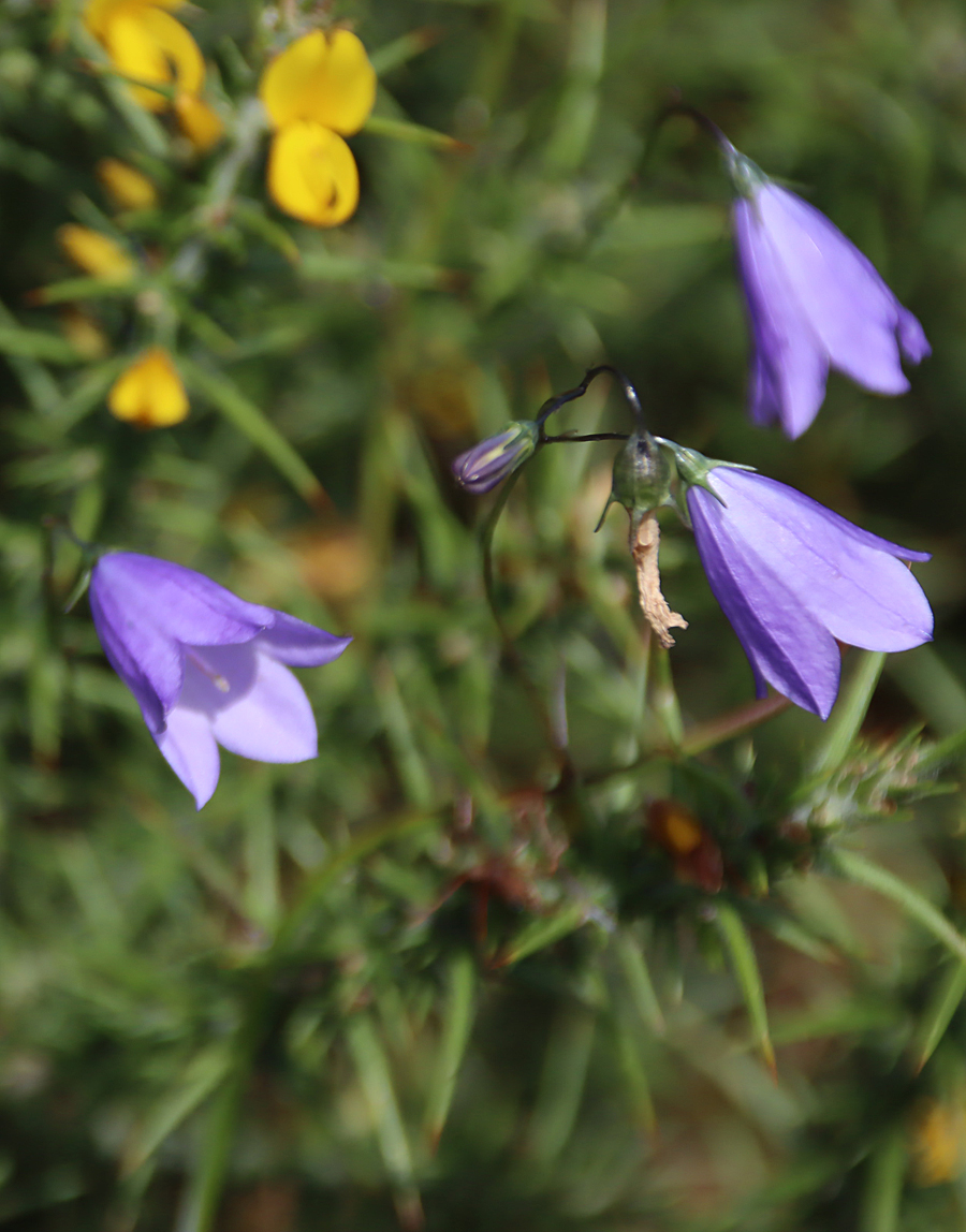
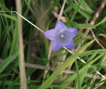
There is not a lot in the way of wildlife, but there is plenty of bright yellow gorse in flower at the moment.  I found a perfect white puff-ball (mushroom) which I later cooked in garlic butter, and some other unidentifiable mushrooms.  There were some very occasional and very pretty wild flowers, including some wonderful harebells dotted around, but there was little else to see at this time of year.  Bird song was all around, but the singers were well hidden.  Judging from the endless rabbit droppings, this is bunny nirvana.  If you are interested in lichen, there seemed to my inexperienced eye to be many different types on the stone defences and the interior rocks and boulders and later that day I read on the Clwydian Range and Dee Valley AONB website that over 60 species of lichen were identified in a 1993-1994 study.
 

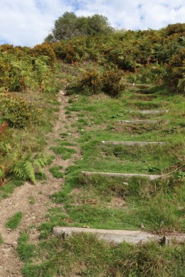
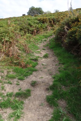
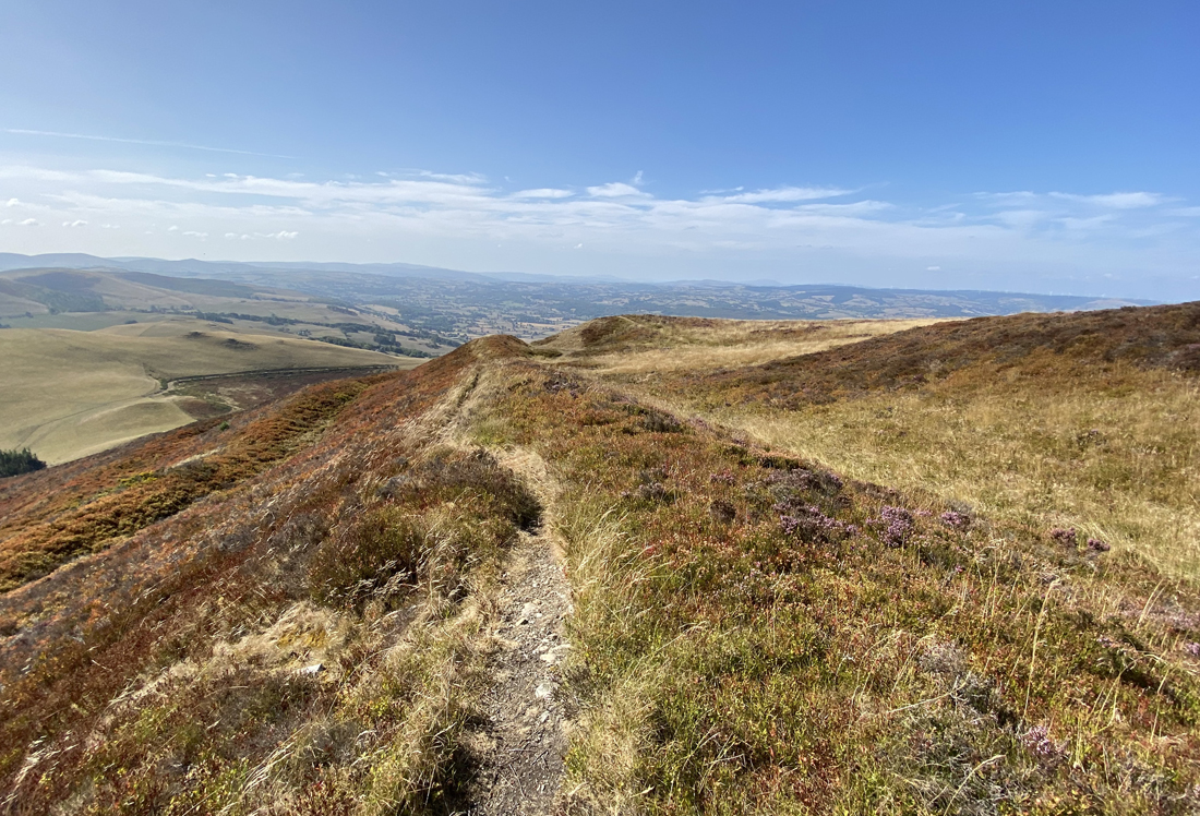
On the way down I kept a close eye out for a signpost for the footpath down, which chops off the corner that the farm track takes (the blue arrow on the above annotated photo).  There is no full-sized signpost, just a little way-marker on the left/south that you need to look out for.  There is a big boulder opposite, which is a useful landmark.  The first part of the footpath, from the top, consists of some quite deep steps reinforced with wood.  It then becomes a fairly steep narrow track – much steeper than it looks in my photographs below.  I suspect that the whole thing becomes a muddy stream during wetter weather, as there are plenty of signs that water courses have made their way down.  The footpath drops you at the gate back down to the road and the car park.
It only took me about half an hour to get up to the hillfort, with lots of stops to enjoy the spectacular scenery, take photos and top up with water.  Once up there, you can spend as long as you like, of course, and it is a great place for a picnic.  I had it to myself, even on a sunny Saturday.
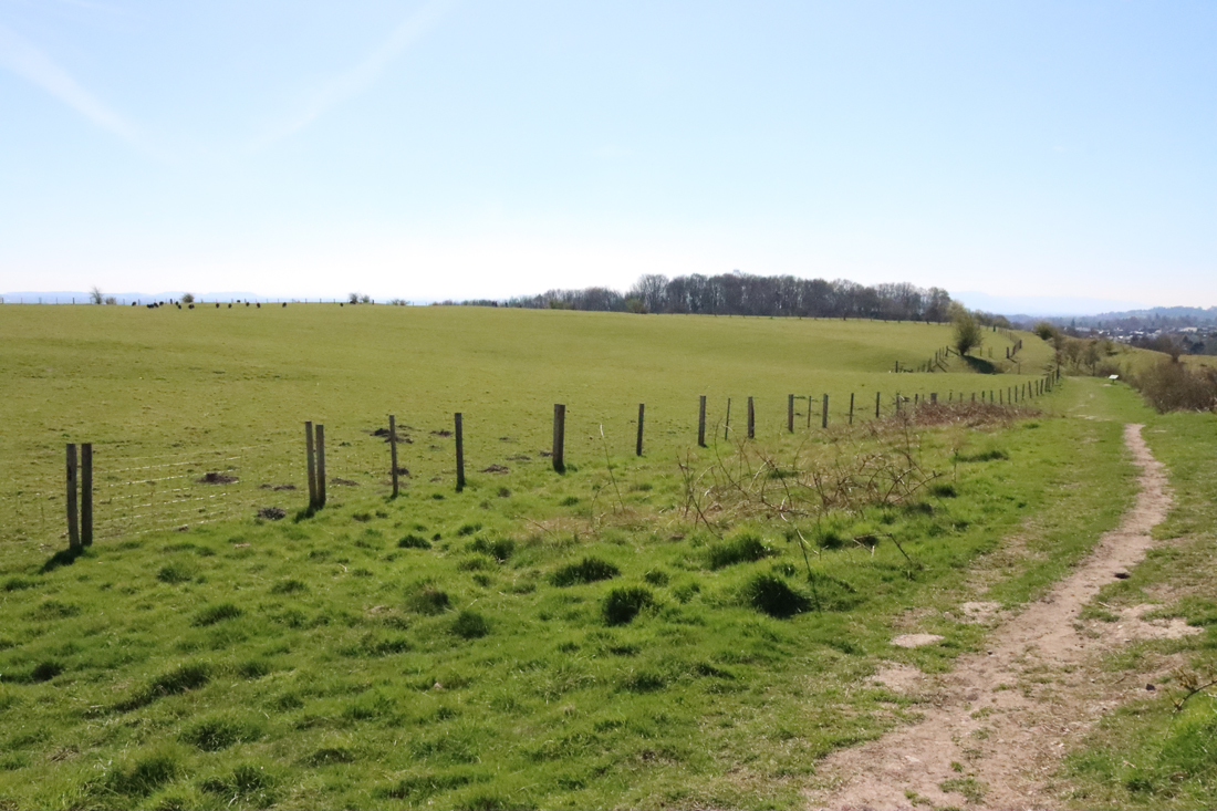
Hopefully the photos will speak for themselves, but I recommend this as a far from strenuous walk, mixing fascinating late prehistoric heritage with terrific views.  If you time your visit to coincide with stunning Rhug Chapel’s opening times (the chapel’s website is here), that would make a great second visit, just a ten minute drive away.

UPDATE:

After I posted about this walk, I found an official leaflet that includes a longer walk incorporating the hillfort, which looks really great.  The relevant page is shown below, but you can download the entire leaflet, with some other really excellent-looking walks too at https://www.denbighshirecountryside.org.uk/files/158946141-Discovering%20Corwen%20A5%20ENG%20WEB.pdf


——–


For other Iron Age sites on this blog see:

Beneath Chester’s Roman Amphitheatre – the Iron Age buildings and fields
https://basedinchurton.co.uk/2026/06/02/beneath-chesters-roman-amphitheatre-the-iron-age-buildings-and-fields/
Burton Point: The small and rather puzzling Iron Age promontory fort on the Wirral
https://basedinchurton.co.uk/2026/04/11/the-small-and-rather-puzzling-burton-point-promontory-hillfort-on-the-wirral/
Exploring Maiden Castle Iron Age Hillfort, Bickerton Hill (mid-Cheshire Sandstone Ridge)
https://basedinchurton.co.uk/2025/12/01/exploring-maiden-castle-iron-age-hillfort-bickerton-hill-mid-cheshire-sandstone-ridge/

Sources

Books and papers

Bowden, M. 2006.  ‘Guard Chambers’: An Unquestioned Assumption in British Iron Age Studies. Proceedings of the Prehistoric Society, 72, p.423-436 [NOT free to view]
https://www.cambridge.org/core/journals/proceedings-of-the-prehistoric-society/article/abs/guard-chambers-an-unquestioned-assumption-in-british-iron-age-studies/E6D627EE54566C400B07C0F42CB5F18C

Britnell W.J. and Silvester, R.J. 2018. Hillforts and Defended Enclosures of the Welsh Borderland. Intarch Issue 48 (2018). Iron Age Settlement in Wales. https://intarch.ac.uk/journal/issue48/7/index.html

Driver, Toby 2018. New Perspectives on the Architecture and Function of Welsh Hillforts and Defended Settlements. Intarch Issue 48 (2018). Iron Age Settlement in Wales. https://intarch.ac.uk/journal/issue48/9/toc.html

Gardner, Willoughby. (1922). The Ancient Hill Fort known as Caer Drewyn, Merionethshire. Archaeologia Cambrensis – The Journal of the Cambrian Archaeological Association. Vol. 77. Seventh Series. 2. Vol 77, p.108-125

Savory, H.N. 1958.  Caer Drewyn. Archaeologia Cambrensis – The Journal of the Cambrian Archaeological Association. Vol 107, p.135-6

Websites

Clwydian Range and Dee Valley Area of Outstanding Natural Beauty
Hillfort: Caer Drewyn
https://www.clwydianrangeanddeevalleyaonb.org.uk/projects/hillfort-caer-drewyn/

Coflein
Caer Drewyn; Caer Drewen – Details
https://coflein.gov.uk/en/site/95431
Caer Drewyn; Caer Drewen – Images
https://coflein.gov.uk/en/site/95431/images
Tre’r Ceiri
https://coflein.gov.uk/en/site/95292

People’s Collection Wales
Caer Drewyn
https://www.peoplescollection.wales/items/5482

Aberdovey Londoner
Iron Age hillforts in South Merioneth
https://aberdoveylondoner.com/category/iron-age-hillforts-in-south-merioneth/

—–

The puff ball as a delicious minimalist starter. Divine.