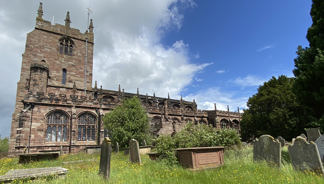
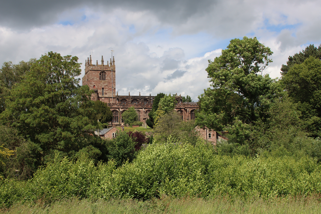
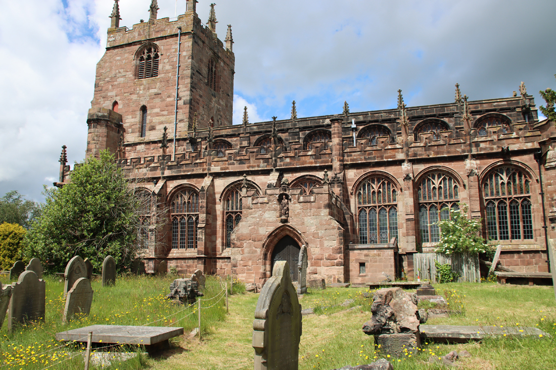
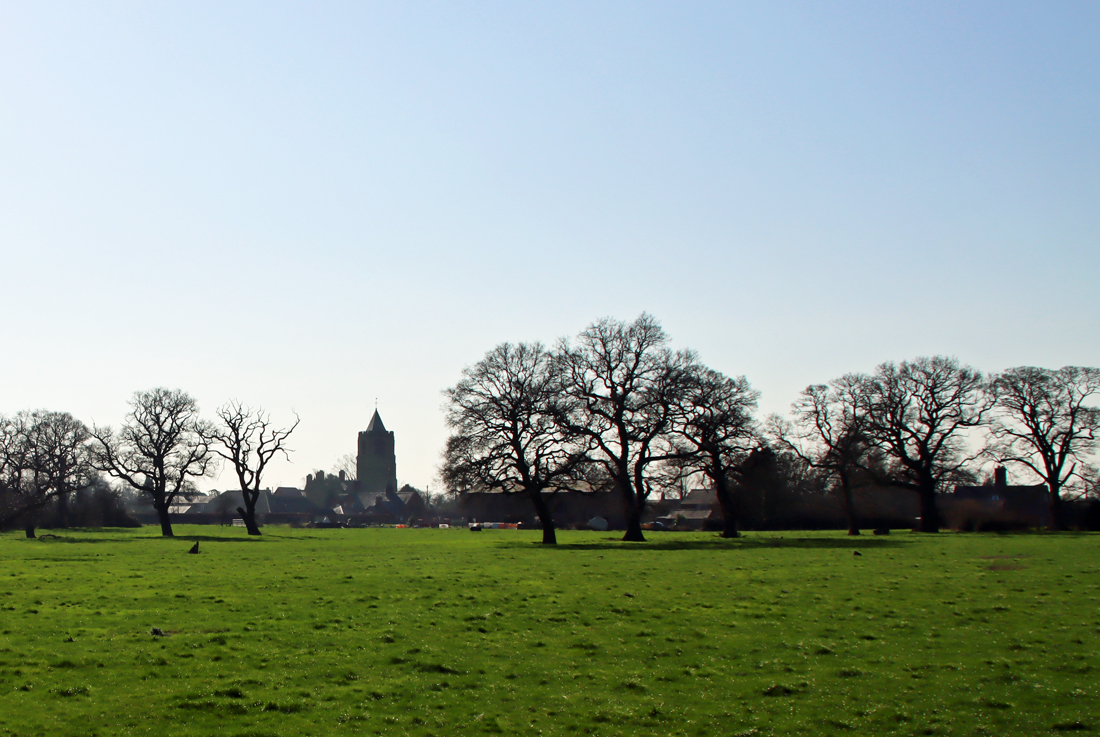
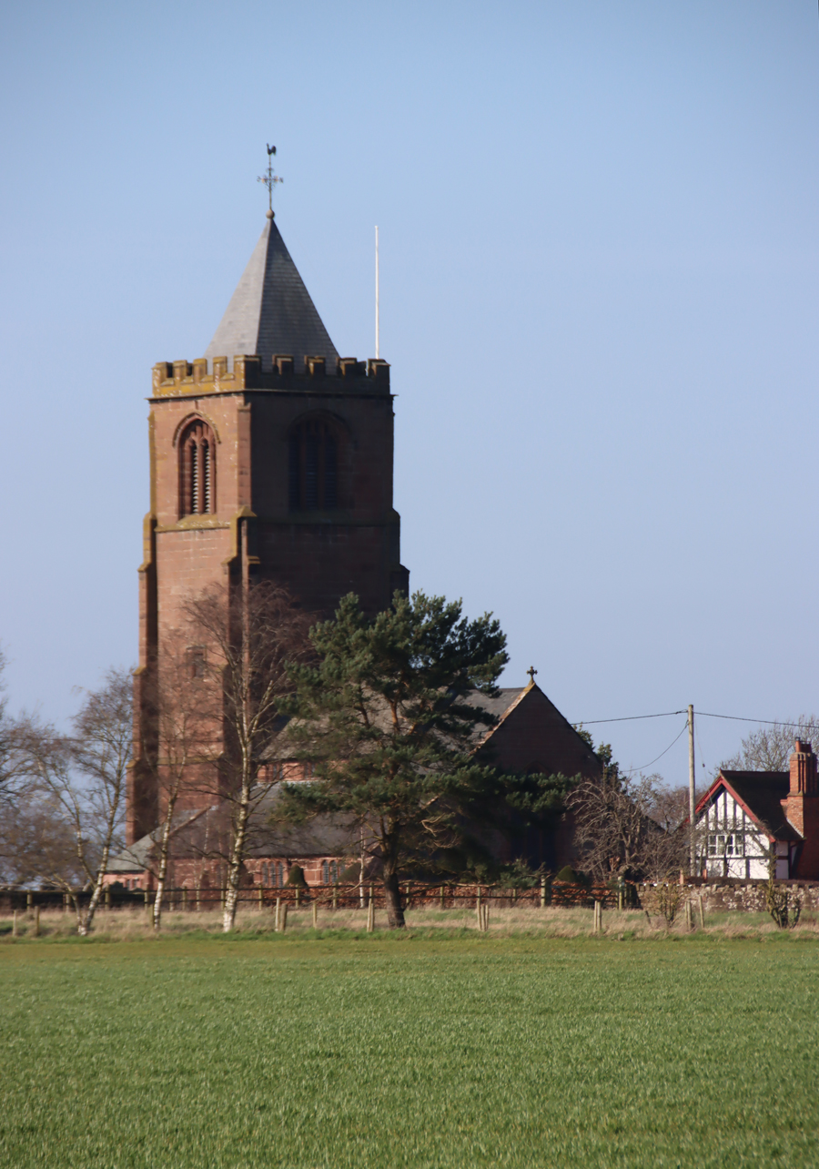
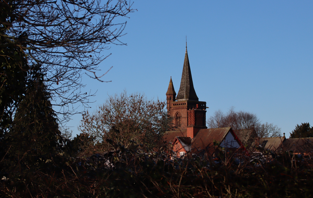
The church of St Boniface, Bunbury

The Chantry House
The Grade I listed collegiate church, established by Sir Hugh Calveley in the 14th century, is listed in the Simon Jenkins book “England’s Thousand Best Churches”, and has a very distinctive personality. I also wanted to find “The Chantry House,” having read about it in Clare Dudman’s recent article in the Chester Antiquary. It is a half-timbered Tudor period building, Grade II* listed, later the home of John Bradshaw of Stockport, born 1602, died 1659, described by Clare as “regicide and President of the first Council of the State of the British Commonwealth (1649-1651).”
Although there is a list of sources at the end as usual, particular thanks are owed to the the history of the church from the St Boniface website as a PDF here.
The collegiate Church of St Boniface
Introduction
 St Boniface himself, whose birth name was Winfrith, was a late 6th-century to mid-7th century English Benedictine monk, becoming a missionary in Germany and Frisia under the authority of the pope. He became an archbishop under Gregory III before going on to introduce reforms to the Church of France.
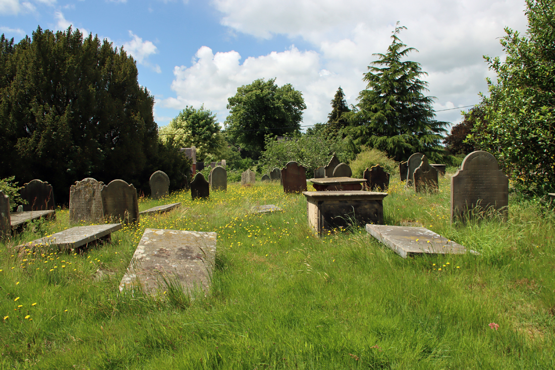
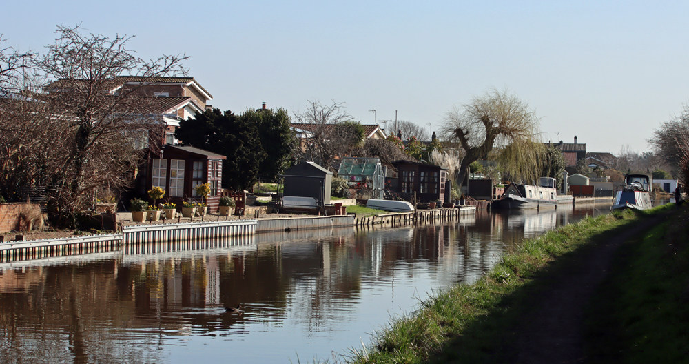
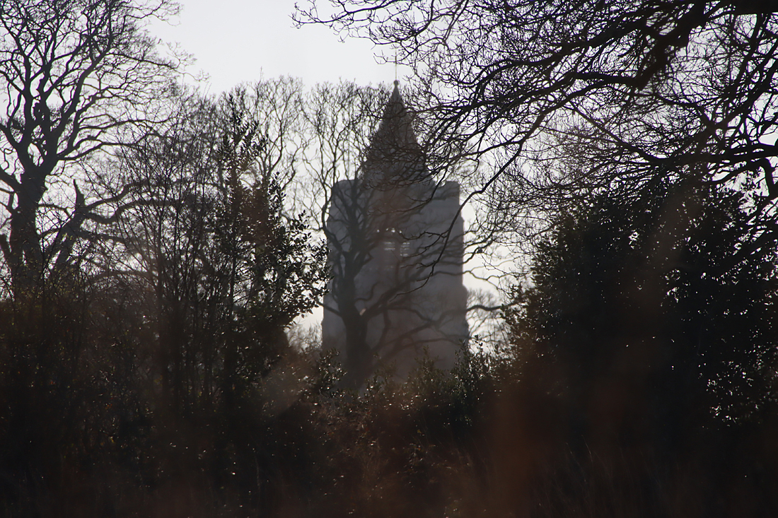
The church is perched on the side of the small valley of the river Gowy. It sits within a neat roughly rectangular stone-built boundary wall, which is most impressive on its western side, enclosing a rambling churchyard, which flows gently downhill. The Gowy that runs at the base of the valley is a fast-moving stream at this point, which wends its way northwest before emptying into the Mersey.
As with many medieval churches in the area, there is speculation that an Anglo-Saxon building preceded St Bonficace, made of wood, on the same site; and there is evidence, in the form of fragments of decorative stonework, of a Norman church preceding the early 14th century building.
The earliest phase of the medieval St Boniface’s Church was in 1320, when the Normal church was rebuilt in the Decorated style, but a large part of the church was rebuilt in 1385-6 when Sir Hugh Calveley established the church as a chantry to ensure that the canons’ prayers would reduce his time in Purgatory. As a nobleman Sir Hugh was a knight and a warrior and, already in his 60s, he had survived not only warfare, but also the devastating famines and plagues of the 14th century.
 The current Church of St Boniface was established as a collegiate church, the first one I have visited in this area. The name “college” derives from the Latin word collegium, and translates roughly as “appointed or chosen together.” In other words, it is an official community of some description, not confined as it usually is today to an educational establishment. A collegiate church sits somewhere between a parish church and a monastic establishment. Instead of a single parish priest overseeing the church and congregation, the college of canons was a Christian community, but unlike a monastery was not secluded, did not follow a specific set of rules of the sort followed by monastic communities and did not require a life-time vow of commitment to the collegiate church. Most importantly, the church was just as much a community resource as any parish church and the canons, ordained priests with specific additional roles, were involved in parish life. Collegiate churches tended to be rather better financed than the average parish church, at least when they were initially established, because they were usually founded by wealthy donors like royalty, bishops or the aristocracy, whilst others were attached to university colleges. Some of the collegiate churches were dissolved following the Reformation following Henry VIII’s appointment of himself as the head of the new Church of England.
St Boniface’s was one of a number of churches that were also established as collegiate chantries. Chantries were intended to safeguard the soul, an ongoing financial investment to ensure prayers for the souls of specific individuals for eternity, thereby reducing a soul’s time in Purgatory. The most prestigious chantries were established in monasteries, where monks ordained as priests could carry out mass on behalf of those who had set up chantries, but any individual could set up his or her own church for the purpose of chantry.
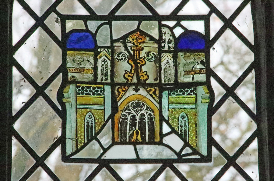
 Although the overall appearance of the church is coherently gothic, a great many changes were made during its life. The main styles are earlier Decorated gothic and, dating to Sir Hugh de Calveley’s investment, later Perpendicular remodelling. The nave and aisles were remodelled in c.1490. In the 1700s upper galleries were added to the nave. The church was substantially modified during the Victorian period. The 18th century galleries were removed, restoration work included the Late Perpendicular Ridley Chapel, which was in ruinous condition and the chancel floor was tiled. None of the medieval stained glass survived in any part of the church, partly due to the nave windows being fitted with iron casements in 1840. A clerestory was added above the windows, adding more light. The oak-panelled ceiling dating to the 1950s. The present stained glass is either 19th/early 20th century or modern, although small fragments of surviving medieval glass have been incorporated where possible.
xxx
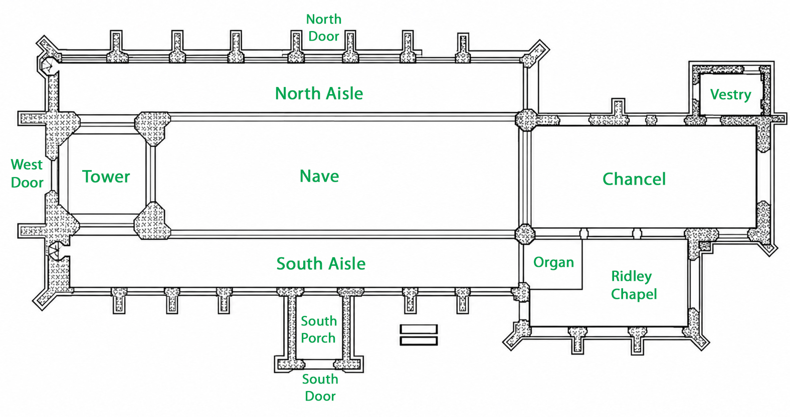
Simplified plan of the Church of St Boniface
The exterior
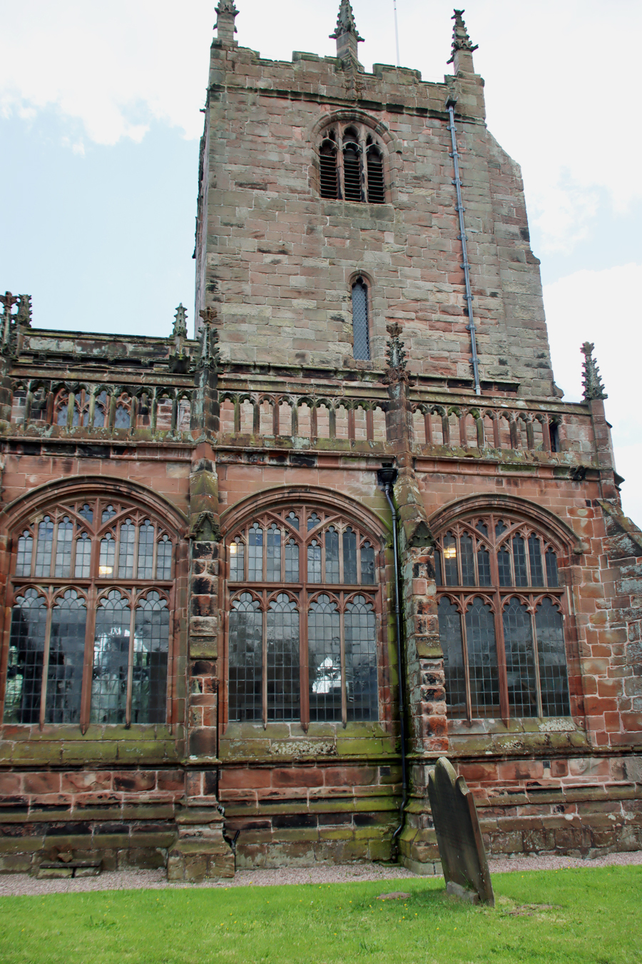 The first impression of the church exterior, as you do a circuit, is that the north side of the church has a massive and costly expanse of regimented windows, which together with the clerestory fill the church with far more light than a medieval church would normally have experienced, even with stained glass in place.
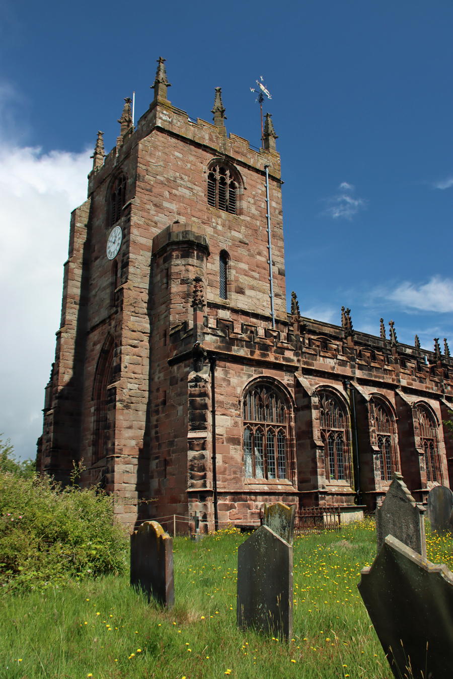
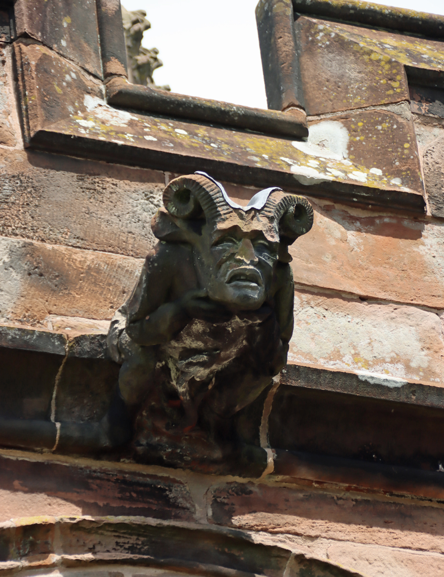
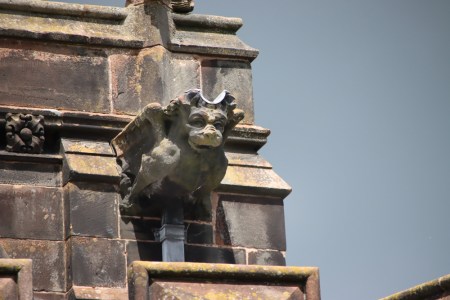
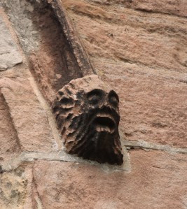
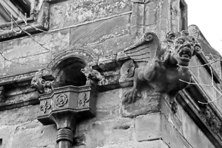
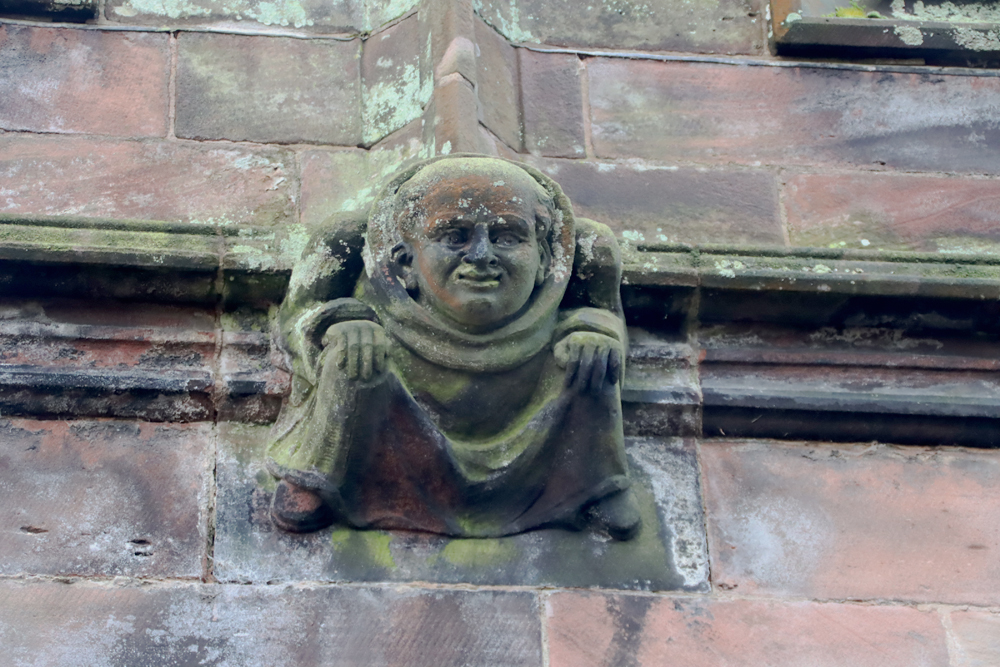
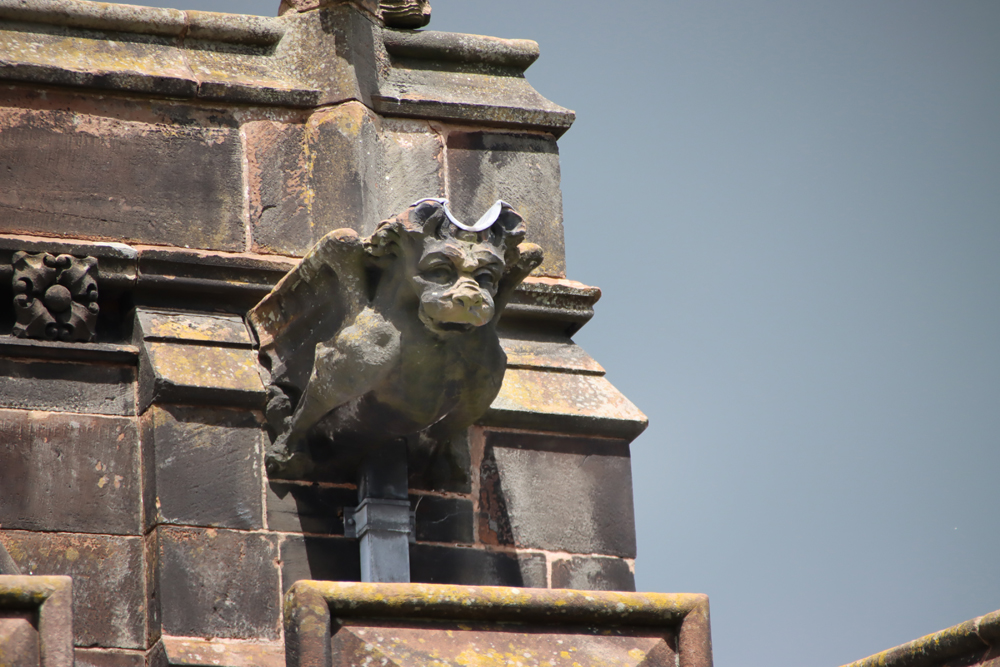
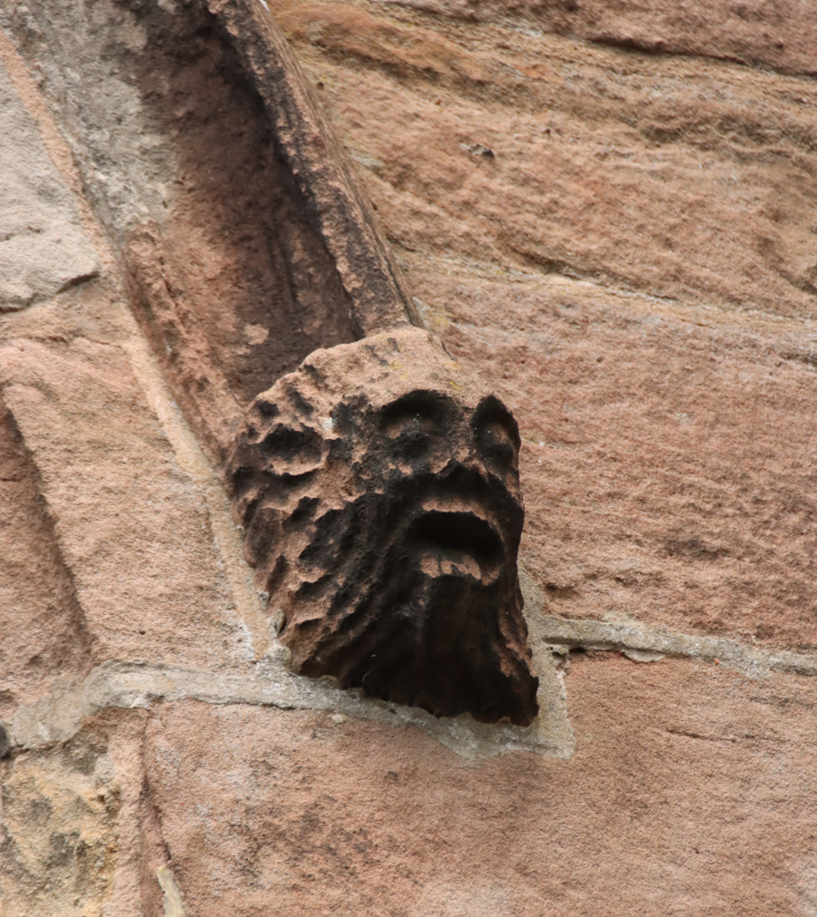
Although both sides of the nave consist of eight bays, you will notice that the north and south sides are different from one another. The north side, with a much smaller concentration of graves in the churchyard, has a much bigger bank of windows than the south side, making a remarkable first impression. Above them is an unusual balustrade that is not echoed on the south side. On both sides of the church are battlements and many pinnacles (some of which have fallen and can be seen in the churchyard) and do look out for gargoyles and grotesques, because there are some good examples.

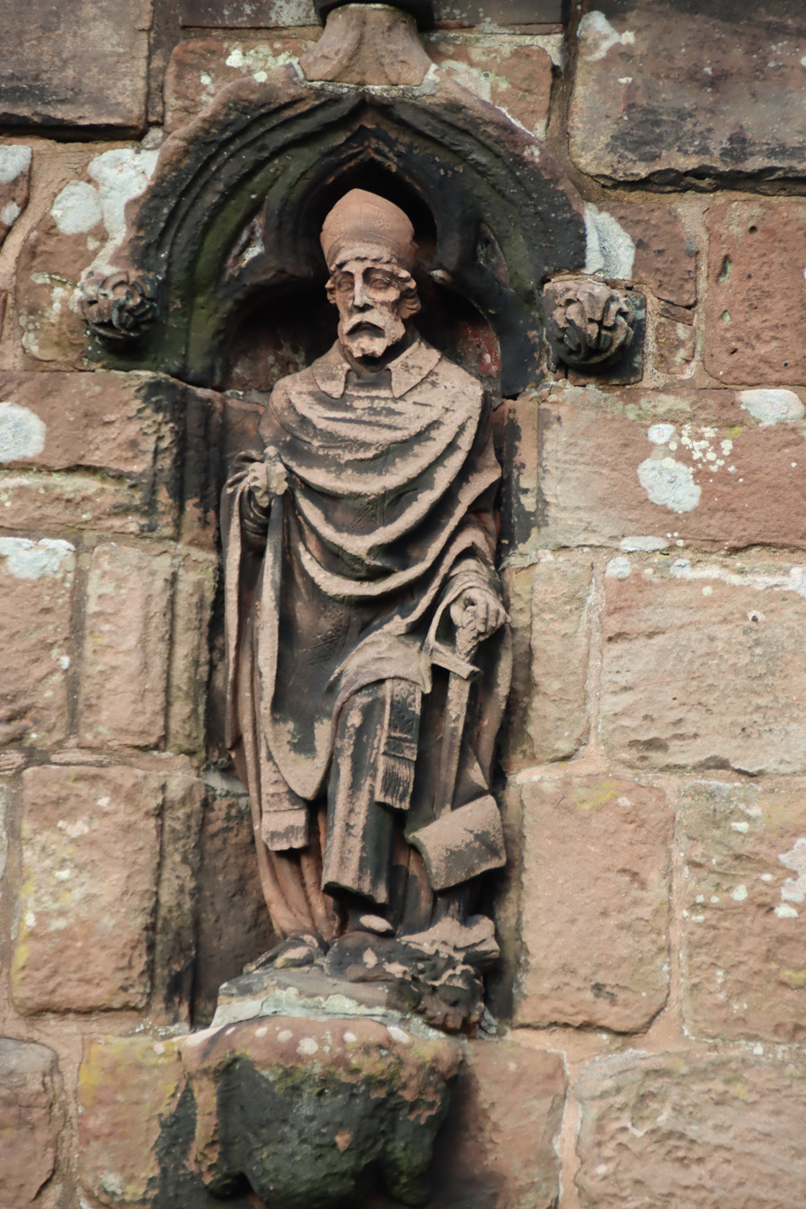
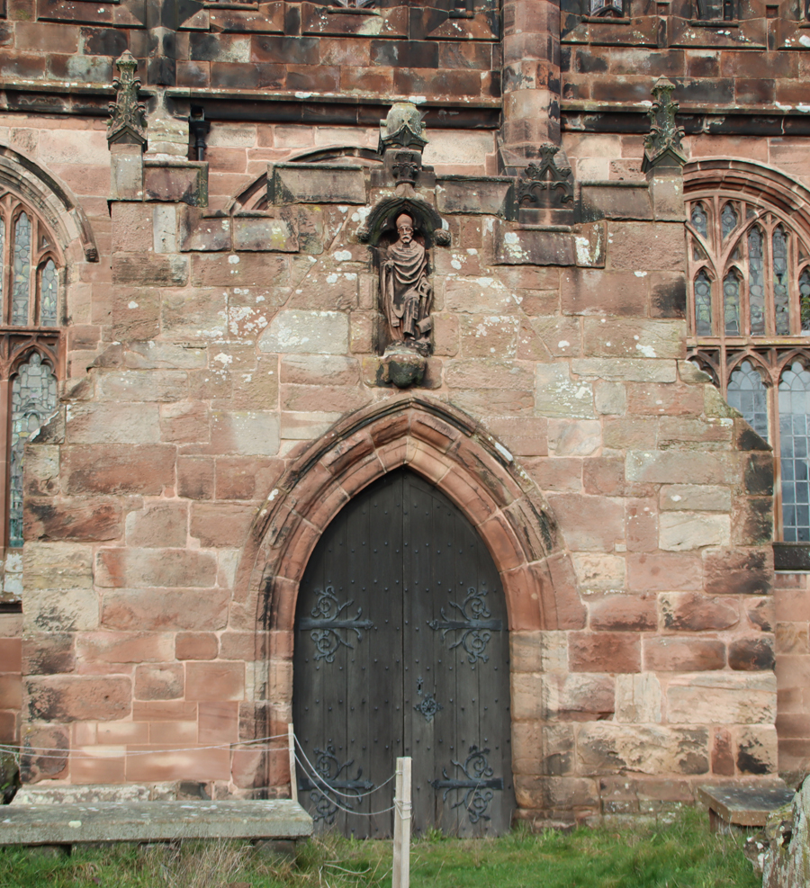
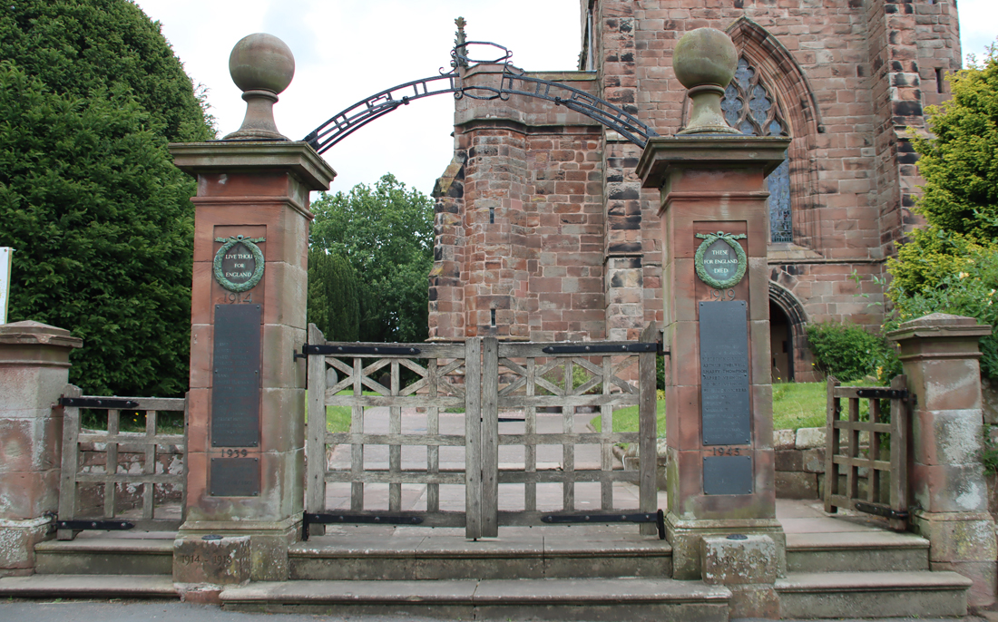
The main gateway through the boundary wall, leading up two steps towards the tower, is 18th century. The medieval west door into the tower, used today as the visitor entrance, would have been used only for ceremonial occasions. Apart from the buttresses that support it, the tower is incorporated into the body of the church itself. A small door is located on the north side was opened during baptisms, whilst the congregation would have entered via the elaborate Decorated style south porch in the churchyard, retaining its original medieval doors, effigy of St Boniface and its clear views over the valley.
The south porch
x
The interior
The tower and nave
 Instead of standing beyond the nave, as with most churches, the tower is incorporated within the nave, with both aisles running along its sides (now blocked off for use as storage at the west, tower end). The base of the tower sits on sandstone bedrock and dates to Sir Hugh’s rebuild, with walls nearly 2m thick.
As well as the west and south entrances, there is also a small north door without a porch, but this was used only during baptisms, and was known as “the Devil’s Door.” During the ceremony it was left open to ensure that any evil spirits that escaped the child during baptism would exit the church. The frame of the doorway is original but the door itself dates to 1630.
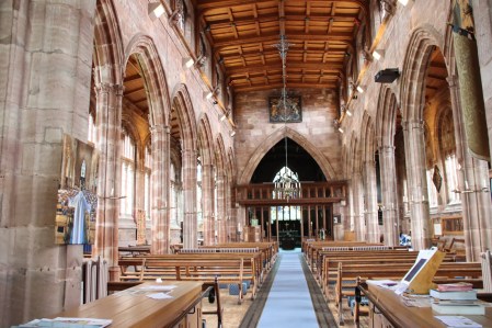
View down the nave towards the chancel
The tower opens into the nave, which consists of a tall central section with views to the chancel at the east. The nave is flanked by two very elegant aisles. The aisle arcades are in Perpendicular style, replacing earlier aisles in the Decorated style, and are supported on particularly slender columns, giving an additional impression of space and height.
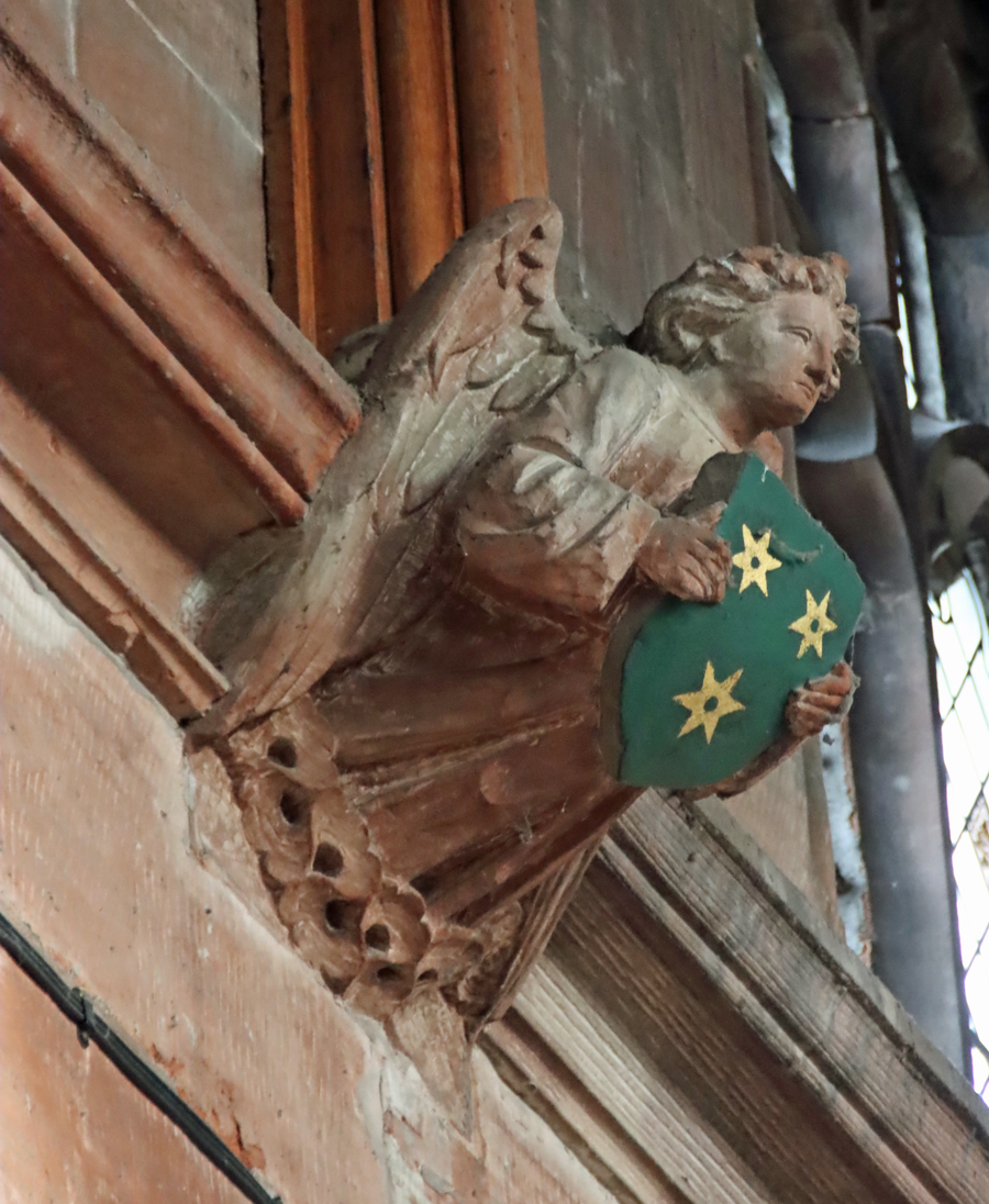
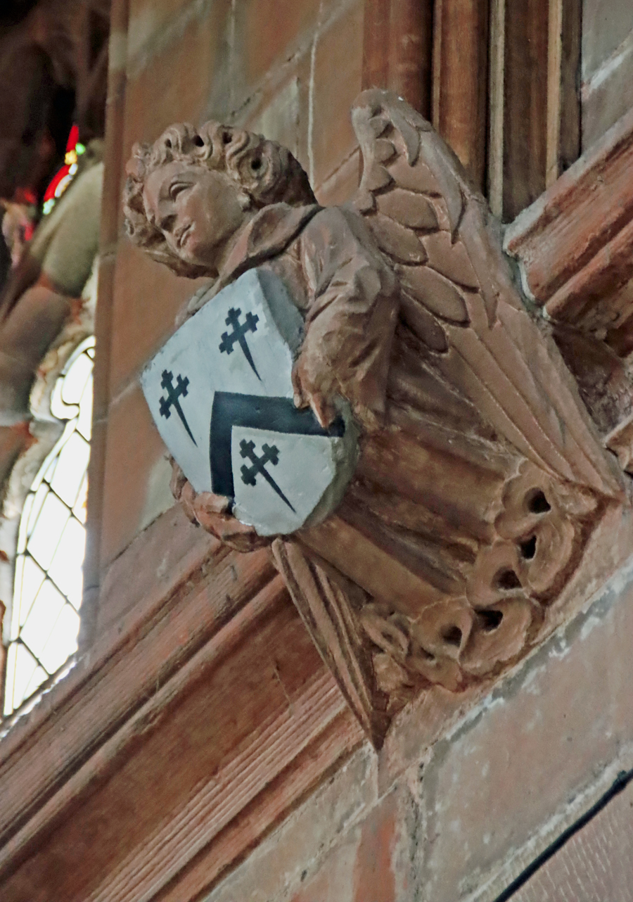 The remarkable bank of windows, particularly on the north side, provides the nave with much more light than it would normally have experienced, all in the style of the gothic Perpendicular. As all of the windows would have contained stained glass, there would have been much less light penetrating the interior than today, and the impact must have been spectacular. A 19th century clerestory is set above the windows, adding more light. The tall nave is topped with an oak-panelled ceiling dating to the 1950s. At the join between walls and ceiling there are angels holding painted shields representing local families who donated funds to ongoing care and modification of the church. The minimal amount of supporting wall between the windows has an impact on other aspects of the interior, as there is much less wall space than usual for memorial sculptures.
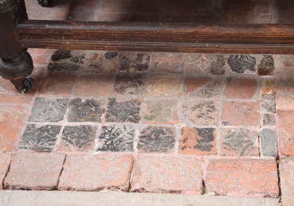
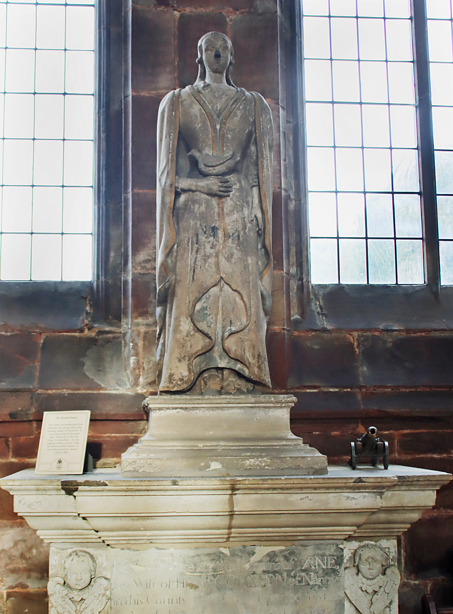 Immediately on your left as you enter the nave, underneath the window, is a statue commemorating Jane Johnson who died at the age of 24. It was found buried under a yew tree in 1882. The reason for this ignominious fate was apparently because the incumbent vicar in the 1760s found the large breasts too disturbing for an ecclesiastical context. On the far east end of the nave, in an aisle on the north side (left as you walk from the the tower towards the chancel) there is some fine medieval floor tiling under a communion table, with some grave stones laid into the floor. The tiles were found elsewhere in the church and moved here to preserve them.
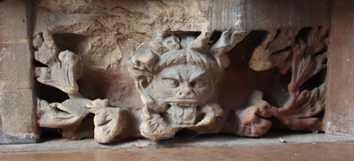
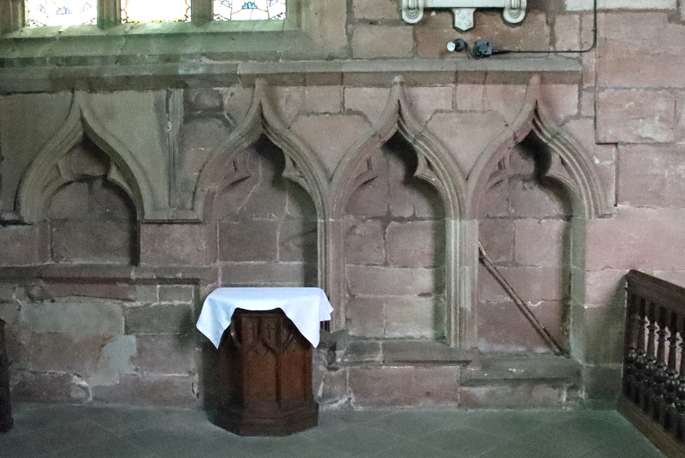
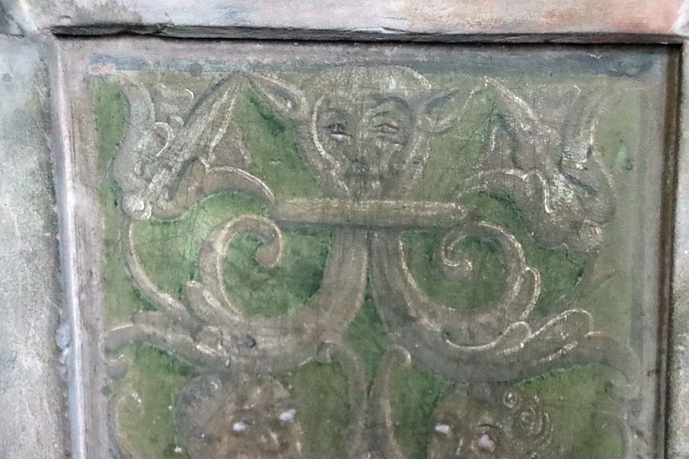
Above the communion table is a short row of carved medieval stone sculptures, most of which represent excellent examples of grotesques, the remains of a former reredos. Grotesques are also set into the tops of the walls, particularly in the south aisle. On the opposite side of the nave, below the organ pipes, is a faint painted medieval altarpiece showing Christ rising from the tomb, flanked by important attendants, one of whom may represent St Boniface. Both the communion table and the organ pipes are located where chapels were once located at the east ends of each aisle.

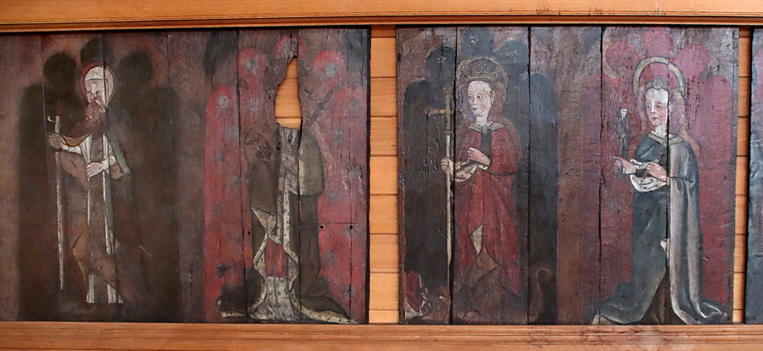
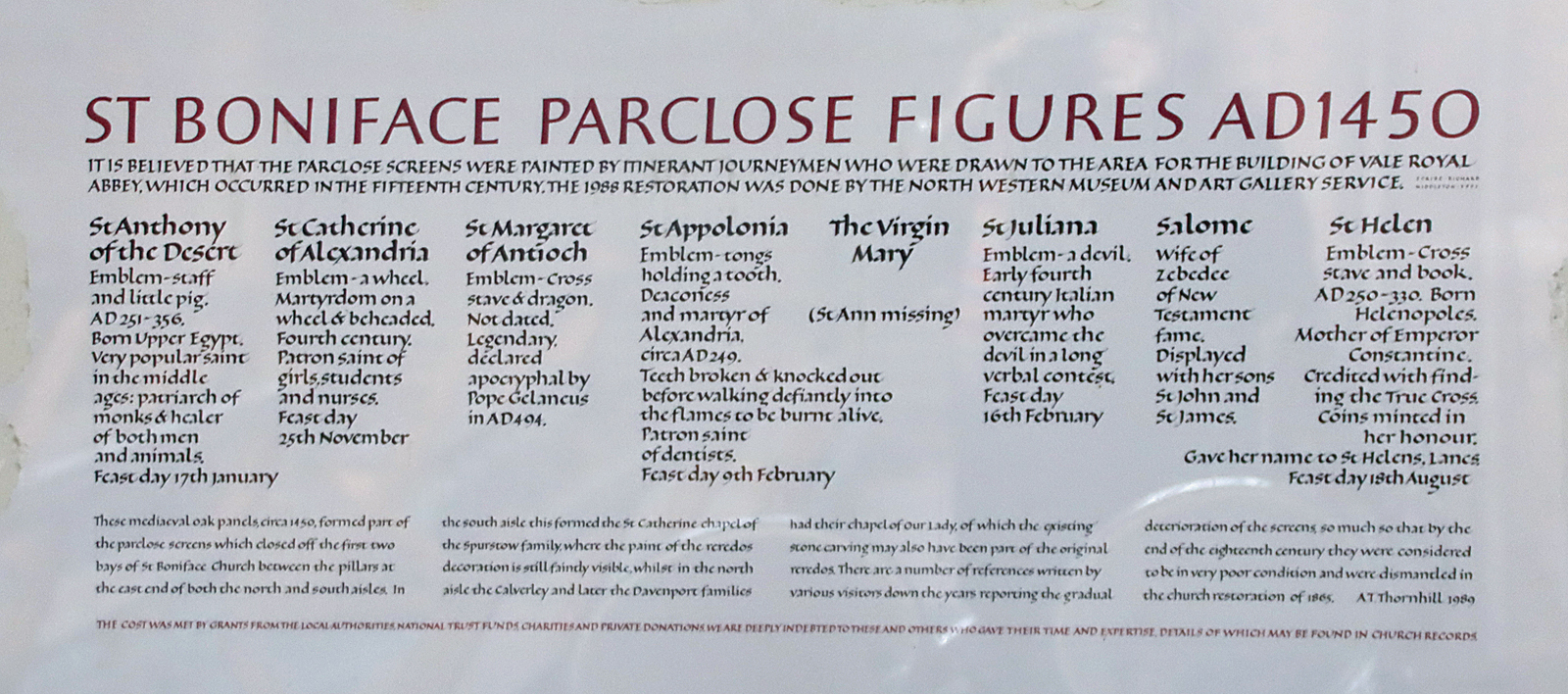
The font dates to 1663, the medieval font apparently having been damaged during the Civil War. Behind the font in the south aisle are two lovely sets of painted wooden parclose panels showing images of saints, dating to c.1420-1450.

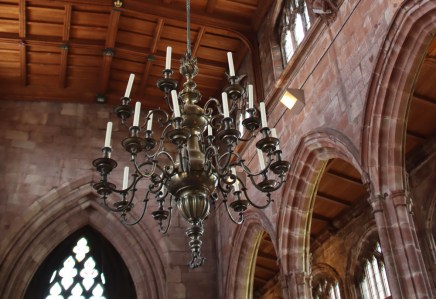
A brass chandelier dates to 1776.
The chancel
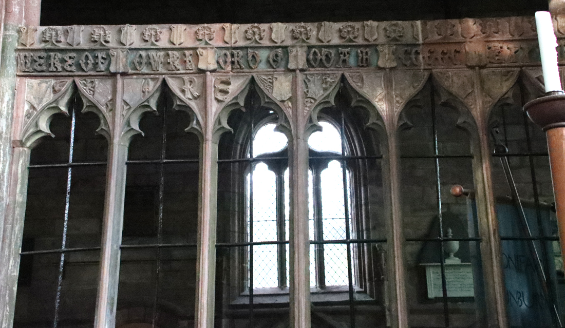
The 1921 Fred Crossley screen
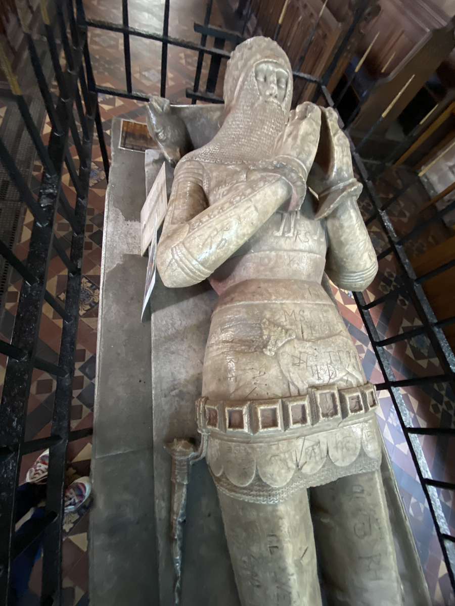
Sir Hugh de Calveley with a calf shown on his suit of armour, his head resting on a sculpted calf and a third concealed in this photograph by his arms
The large chancel has been less radically modified than the nave. The walls were raised to a new height in 1520 but the rest of the chancel remains largely unchanged since the 1380s. It was originally divided from the nave by a rood screen, but the current screen, with its delicate carvings, was designed by Fred Crossley and dates from 1921. The size of the chancel was due to its role as a chantry. According to the St Boniface church’s online history leaflet, “The chancel in Sir Hugh’s collegiate church was designed to provide room for a chantry staff of eleven – a master, a submaster, five chaplains, two chanters, and two singers” in order to pray for the souls of the king, Sir Hugh and their ancestors and families. Sir Hugh died in 1394, unmarried.
The east window, apparently moved here from another church, was in the Decorated style, dating to the 14th century, its lovely tracery described by Pevsner/Hubbard as “uncommonly fanciful” and unique in Cheshire in terms of its flowering tracery. Much of the church’s medieval stained glass survived into the 19th century but the east window was blown out during a storm in the 1700s, and this window now has modern stained glass. Finds of glass beyond the east end show that it originally depicted the Jesse tree.
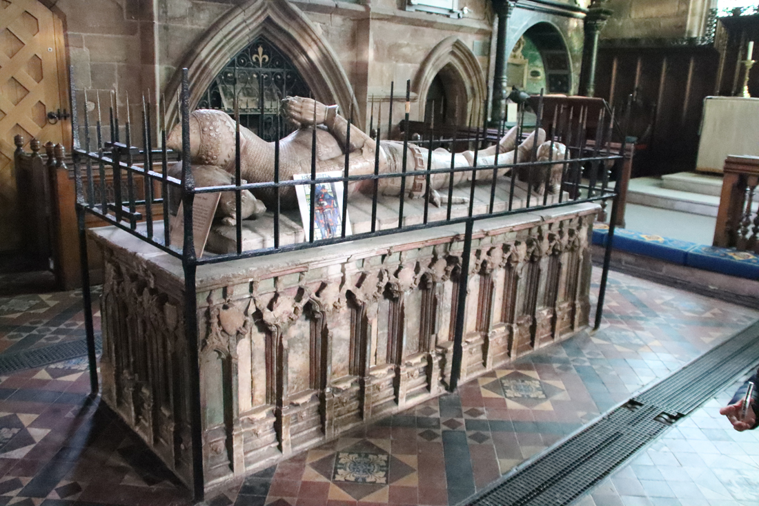
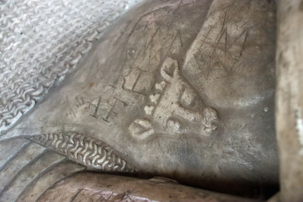
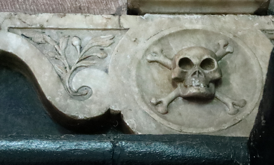
 Sir Hugh himself is in pride of place in the centre of the chancel, with his 7ft long effigy sitting above a chest tomb, all in expensive alabaster, with many traces of paint still surviving on the chest tomb. It is surrounded by the original spiked railings. The three calves of Sir Hugh’s family shield are present on parts of his effigy, and a lion sits at his feet. The niches of the chest tomb would have contained weeping figures, now lost. The graffiti belongs mainly to the 17th century, carved by Civil War prisoners. Whether Sir Hugh is actually buried here is unknown.
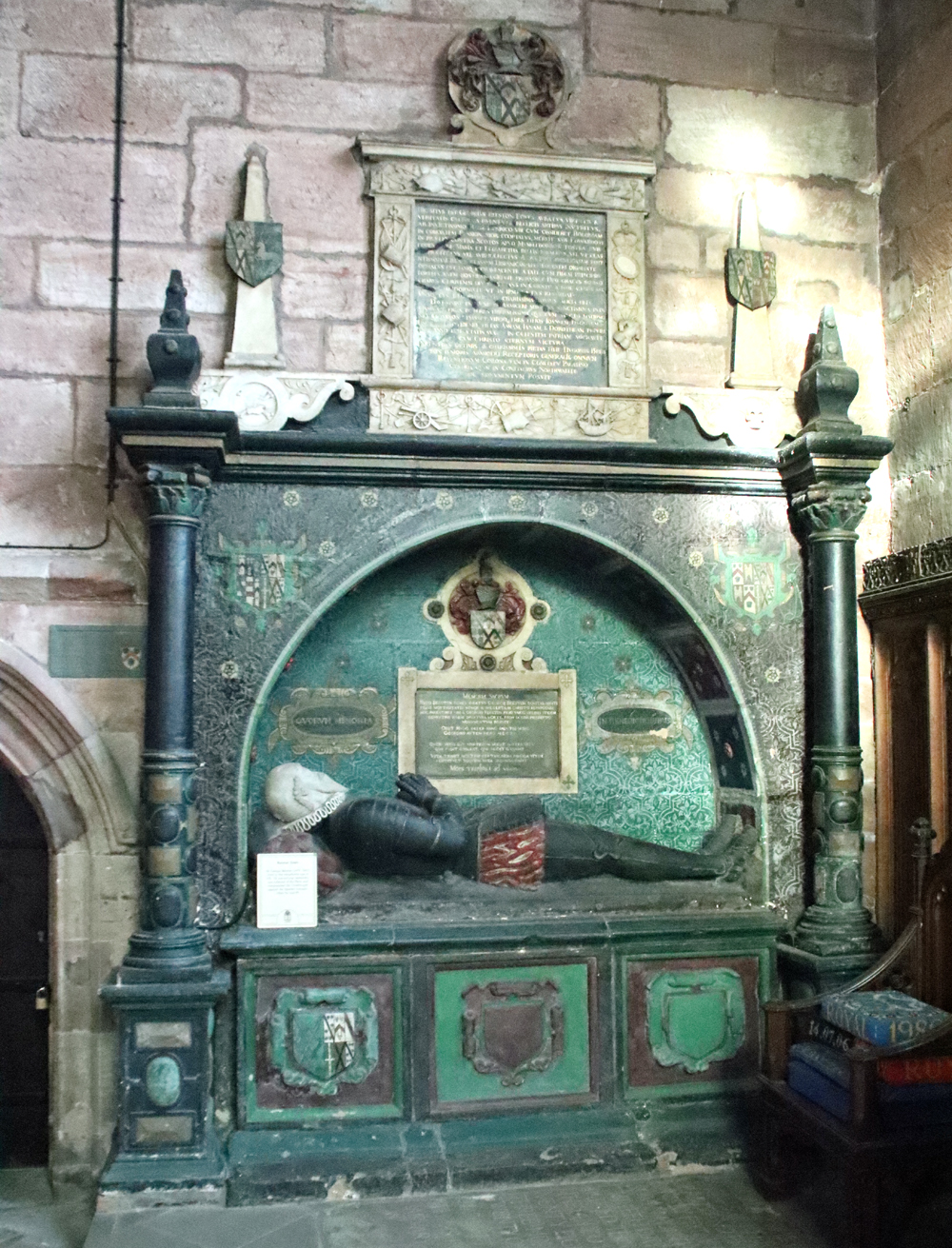
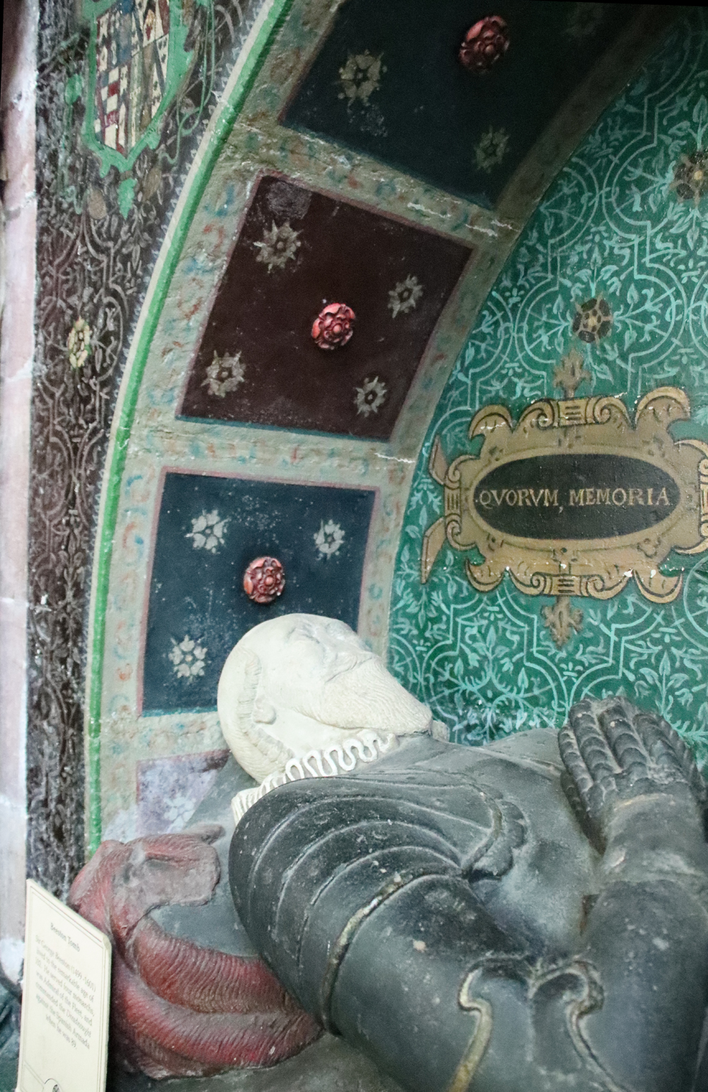
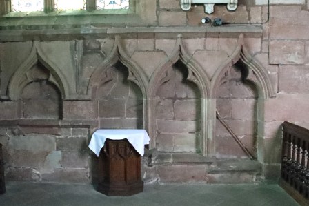 Within the altar rails at the north side of the chancel is the colourfully elaborate effigy and tomb of Sir George Beeston, restored in 1937. He was a descendant of Sir Hugh de Calveley, and served in the Royal Navy as Admiral of the Fleet under four monarchs. Opposite it, also behind the altar rails on the south side (right) are the three seats of the sedilia, where the clergy sat during services, along with a small piscina, a basin for holy water, which drained into the churchyard, all attractively ogee-headed.

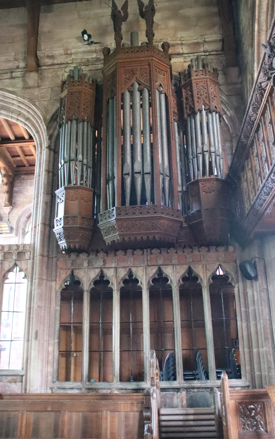
Unlike most churches, where an organ was slotted into an aisle of the nave, the 1895 organ at St Boniface was installed in the chancel on the southern side, facing into the south aisle.
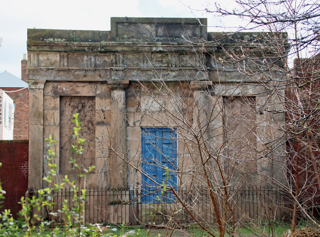
The Ridley Chapel
The 1527 Ridley Chantry Chapel was built by Sir Raufe Egerton, a soldier rewarded for his loyalty by Henry VIII with a village near Bunbury. The endowment was much more modest than that of Sir Raufe’s ancestor Sir Hugh, employing two chantry priests employed to pray for his own soul, and those of his family. He built a house in which the priests resided, still standing today and discussed briefly below.
The chapel sits on the south side of the chancel, accessed through a substantial stone screen via a pair of very unusual carved doors, different on the chancel and chapel sides. The doors have a unique interlaced trellis topping and, on the chancel side, linenfold carving. On the chapel side the doors have and have the monograms of Sir Raufe and his wife Mary carved into the lower sections.
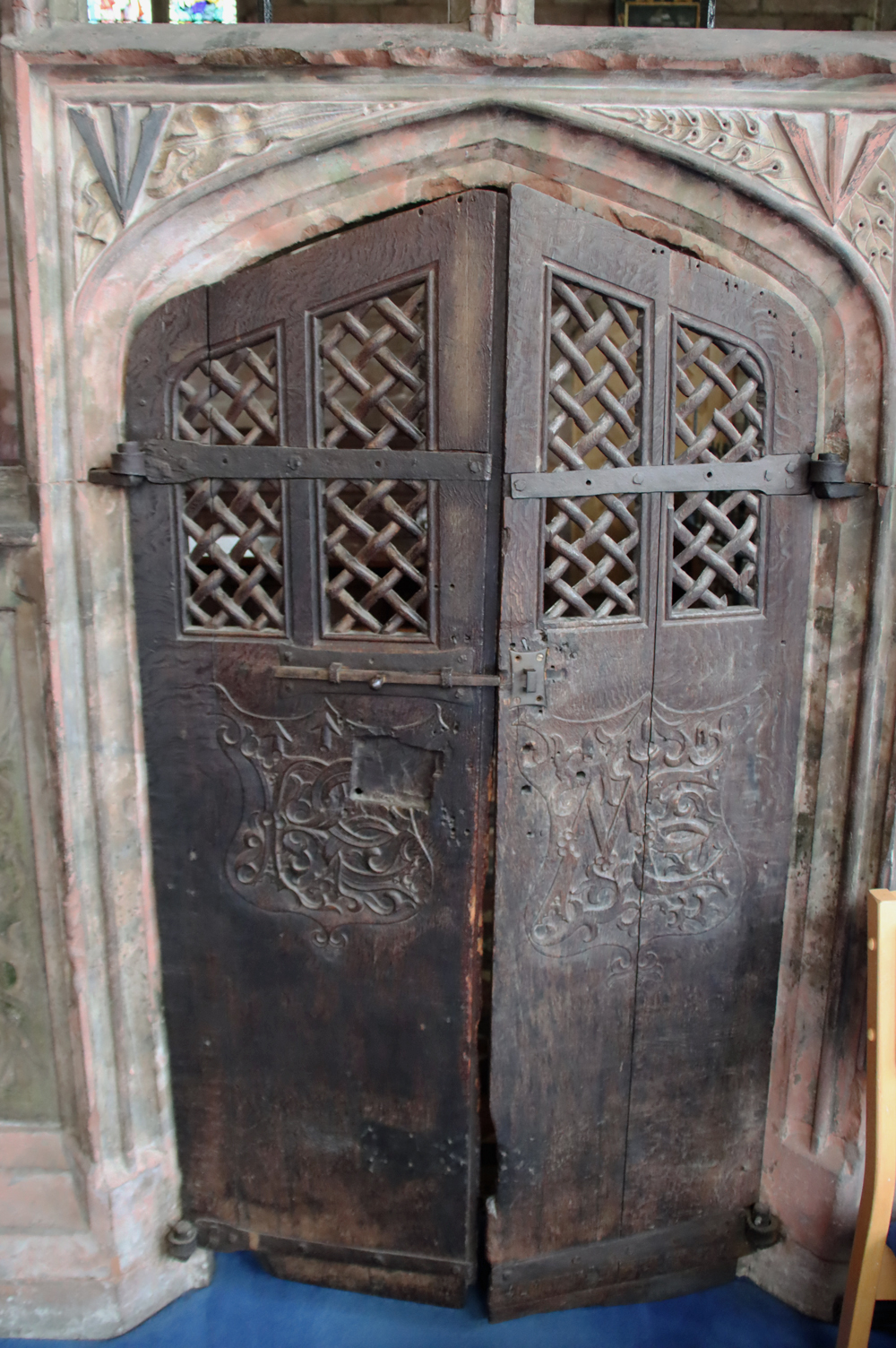
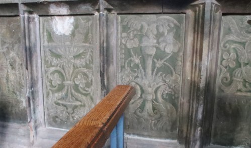
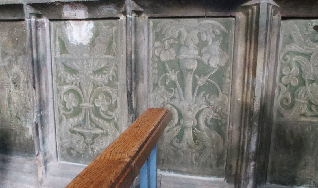
The screen dividing the chancel from the chapel has, on its interior face, some Renaissance paintwork, the earliest known in the region.
Until the Civil War, Sir Raufe’s marble chest-tomb stood, like Sir Hugh’s, in the centre of the chantry chapel. The chapel remained unfinished at his death and although some work continued, according to the detailed instructions left in his will, the dissolution of the college churches and chantries in 1548 led to the abandonment of the work, and it was in a highly ruinous condition by the mid 19th century, when restoration was undertaken.

After 1548
The church’s chantry college was dissolved during Reformation in 1548 and the church became Crown property before the tithes (the income of the church) were sold by Elizabeth I.
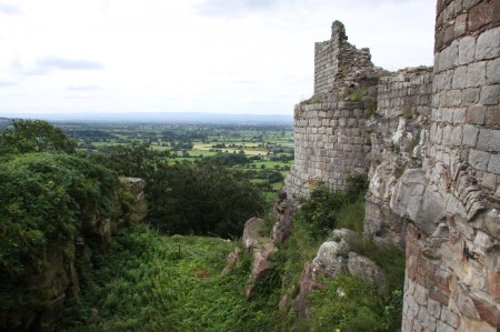
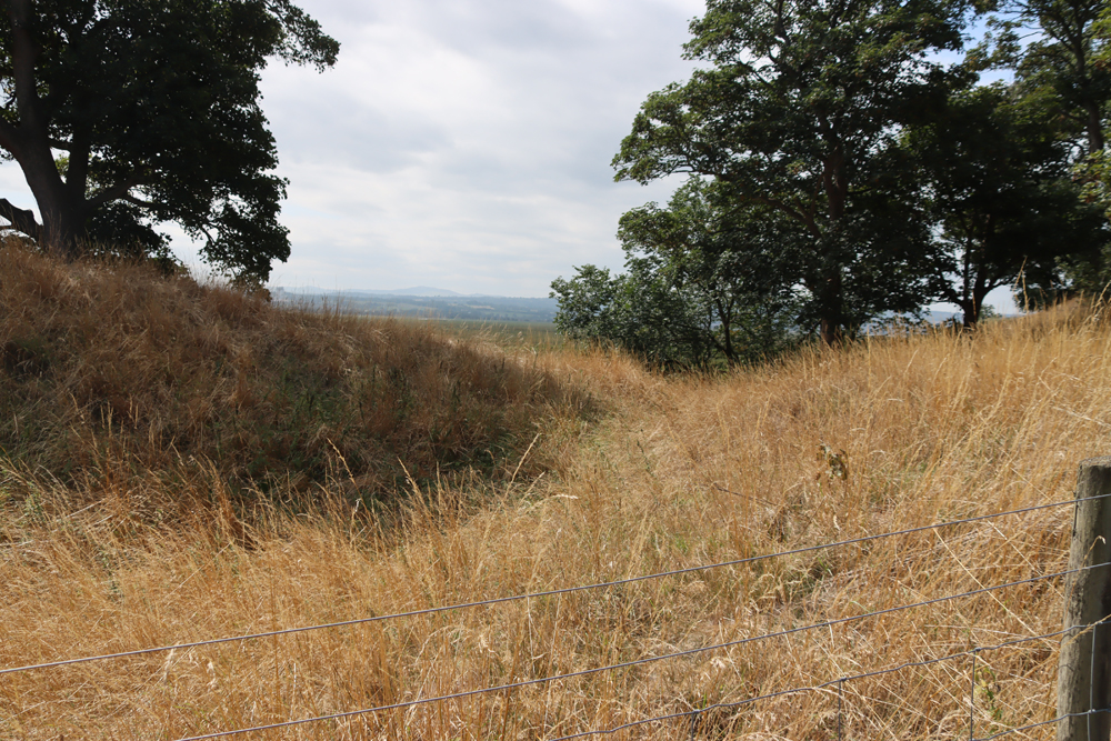
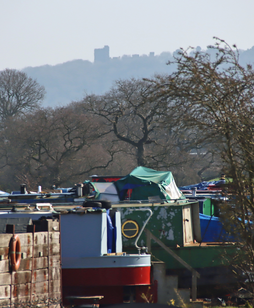
Beeston Castle
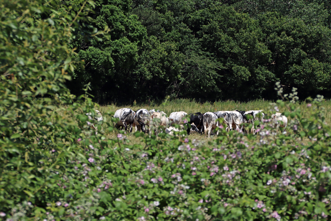
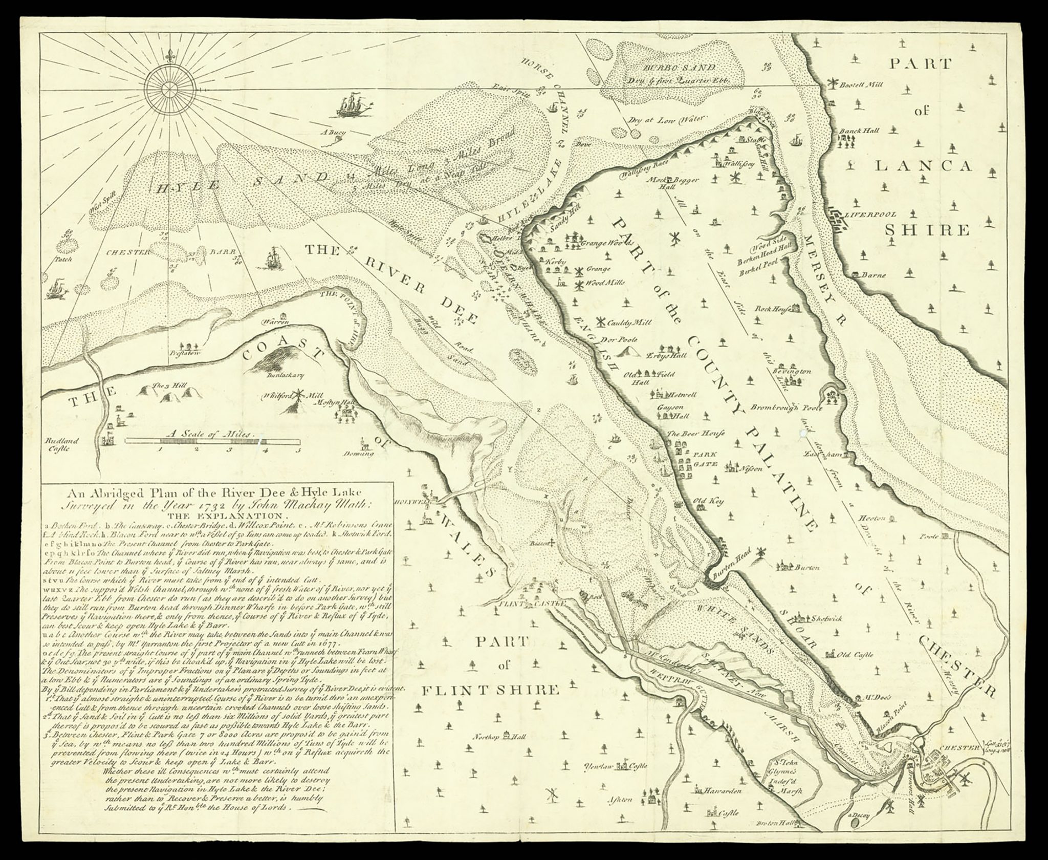
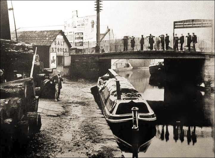
Although efforts were made to keep Cheshire out of the Civil War (1642-1659), with the Bunbury Agreement signed to this effect, the county was nevertheless dragged into the hostilities. Royalist forces had taken up position at Chester in 1642, using it as a base to provision themselves from the Dee, which was still a working port with river access via the Dee to the Irish Sea and Liverpool Bay. Shortly afterwards, Parliamentarians established themselves at Nantwich. Beeston sat right in the middle of the two opposing bases, and the parliamentarians installed a garrison at the castle in February 1643, under the control of Captain Thomas Steele, who oversaw repairs to make the castle defensible. St Boniface’s was used by Parliamentarians who were garrisoned at Bunbury to house Royalist prisoners who had been taken in the fighting at Beeston Castle and other local battlefields.
In the 1700s galleries were added to the nave, but these were removed in the 1860s during a period of Victorian alterations, which also removed the plaster covering the walls, the wall paintings and the traditional box pews. The tiling on the floor of the chancel dates to this time.
Electric light was not introduced until 1931. Sadly in 1940 a land-mine inflicted serious damage on the church, partly because the 1840s alterations to the windows had badly undermined the structural integrity of the church.
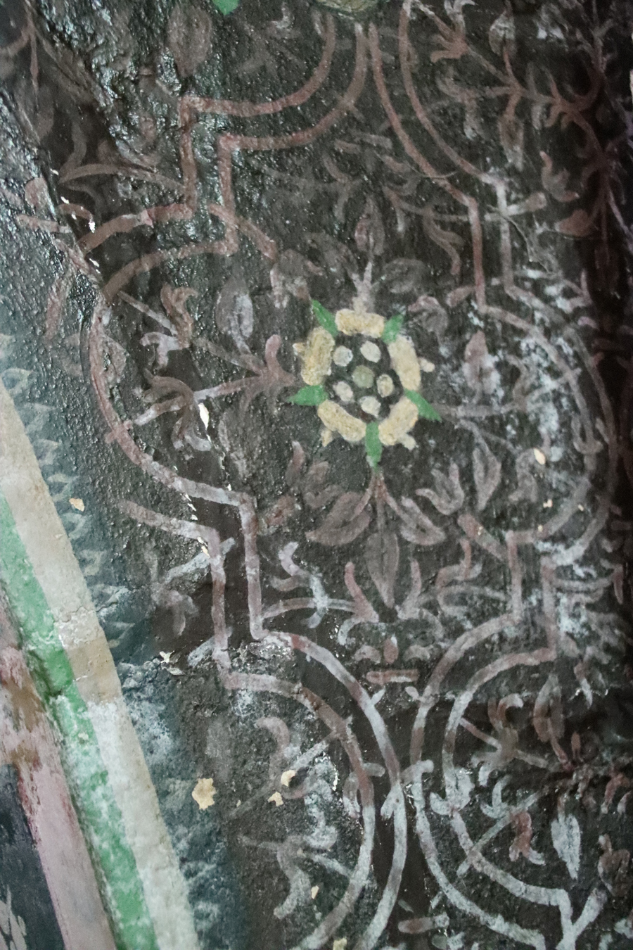
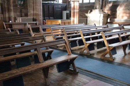
 Today the nave has a feeling of timelessness that is very difficult to pin down. This may be due to the mass of light that the main windows and the clerestory produce, combined with the lofty ceiling on slender columns; the absence of traditional blocks of pews in favour of backed benches; and the minimal amount of memorial clutter on the walls, all providing the nave with a faint and attractively unusual hint of modernity. The chancel is much more traditional, but the centrepiece provided by Sir Hugh’s effigy and chest tomb, the painted tomb of Sir George Beeston and the addition of the Ridley Chapel are all truly compelling features. The amount of paintwork in the church is unusual, and although much of it was restored in the Victorian period, it gives an excellent idea of how much more colour would have been present in a pre-Commonwealth church. This venerable church, established to provide chantry services for Sir Hugh de Calveley, is distinctive in both look and feel, outside and in, and has a lot of very unusual features to offer the visitor.
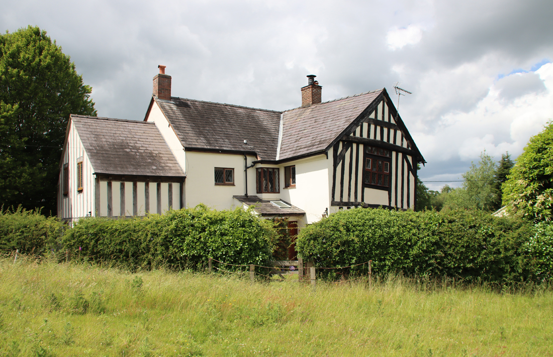
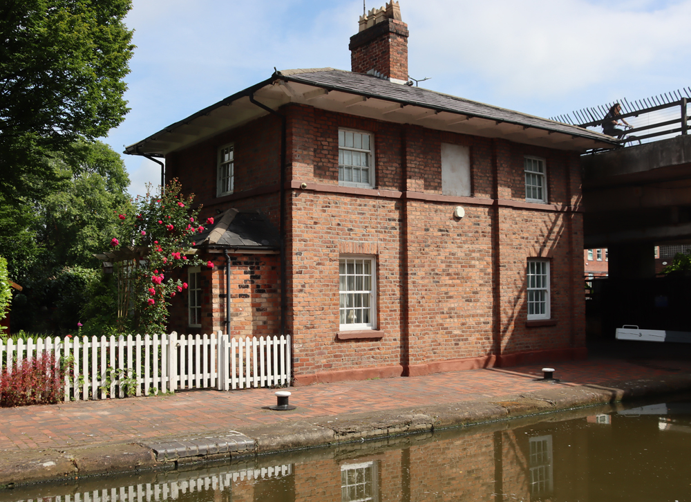
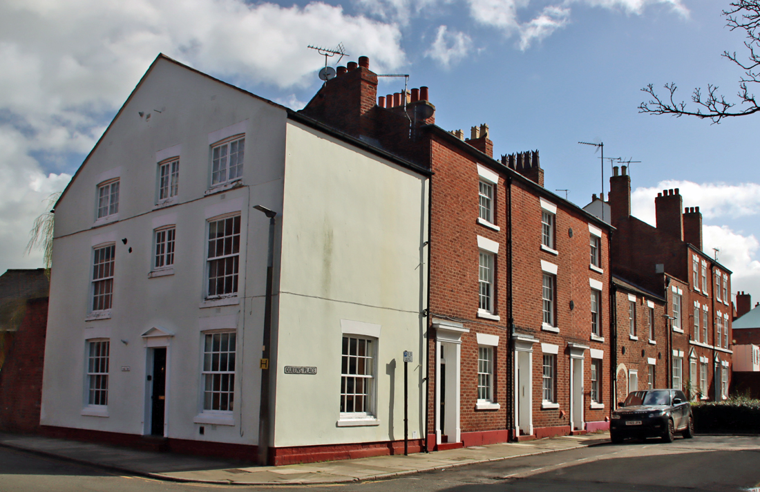
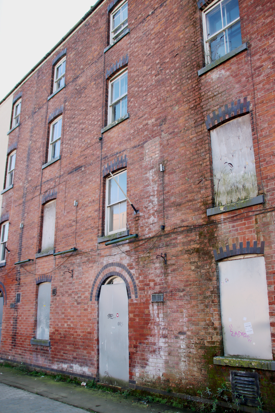
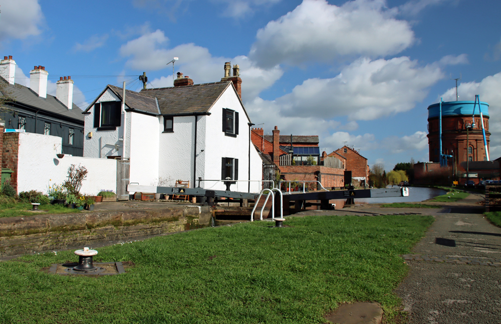
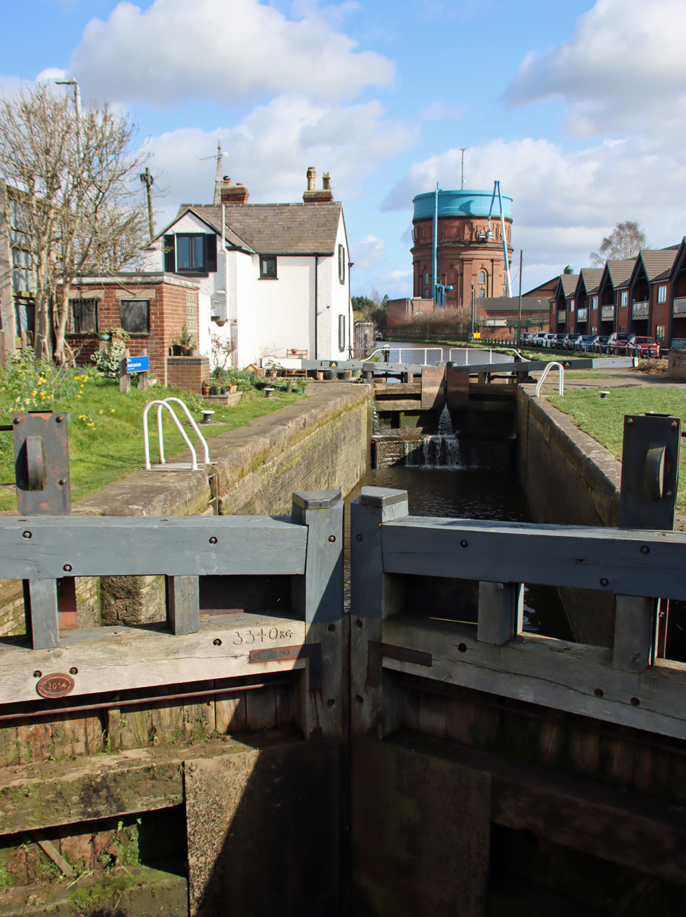
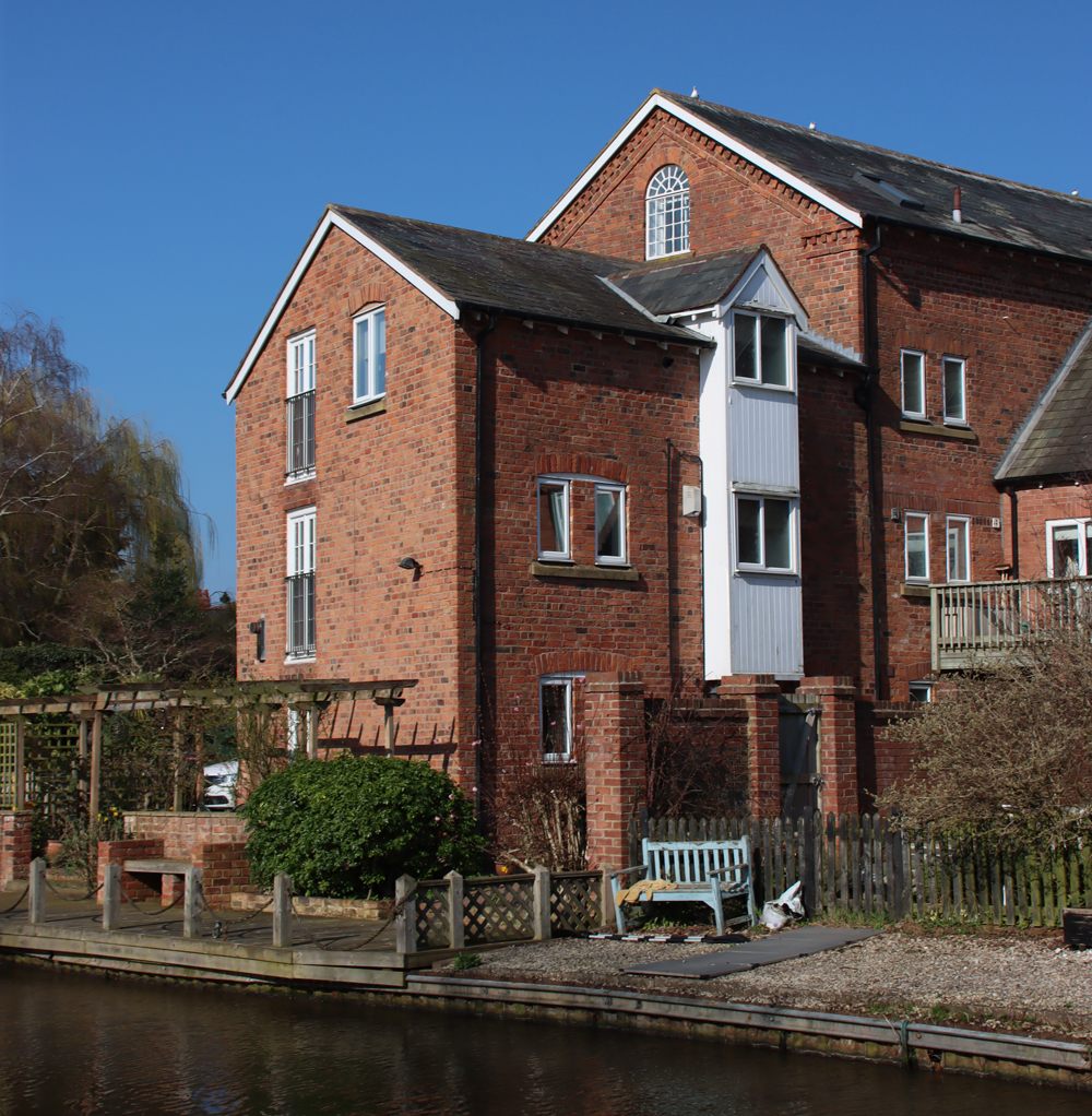
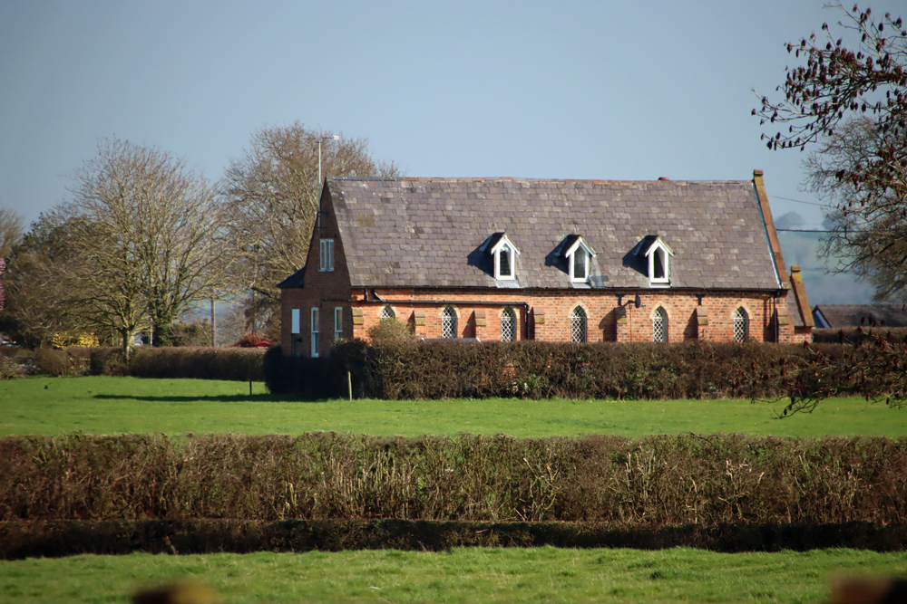
The Chantry House
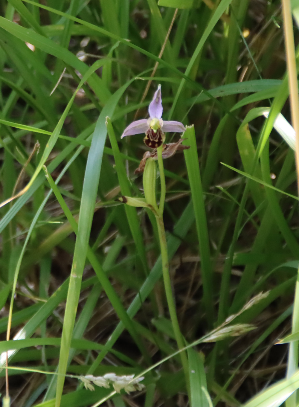
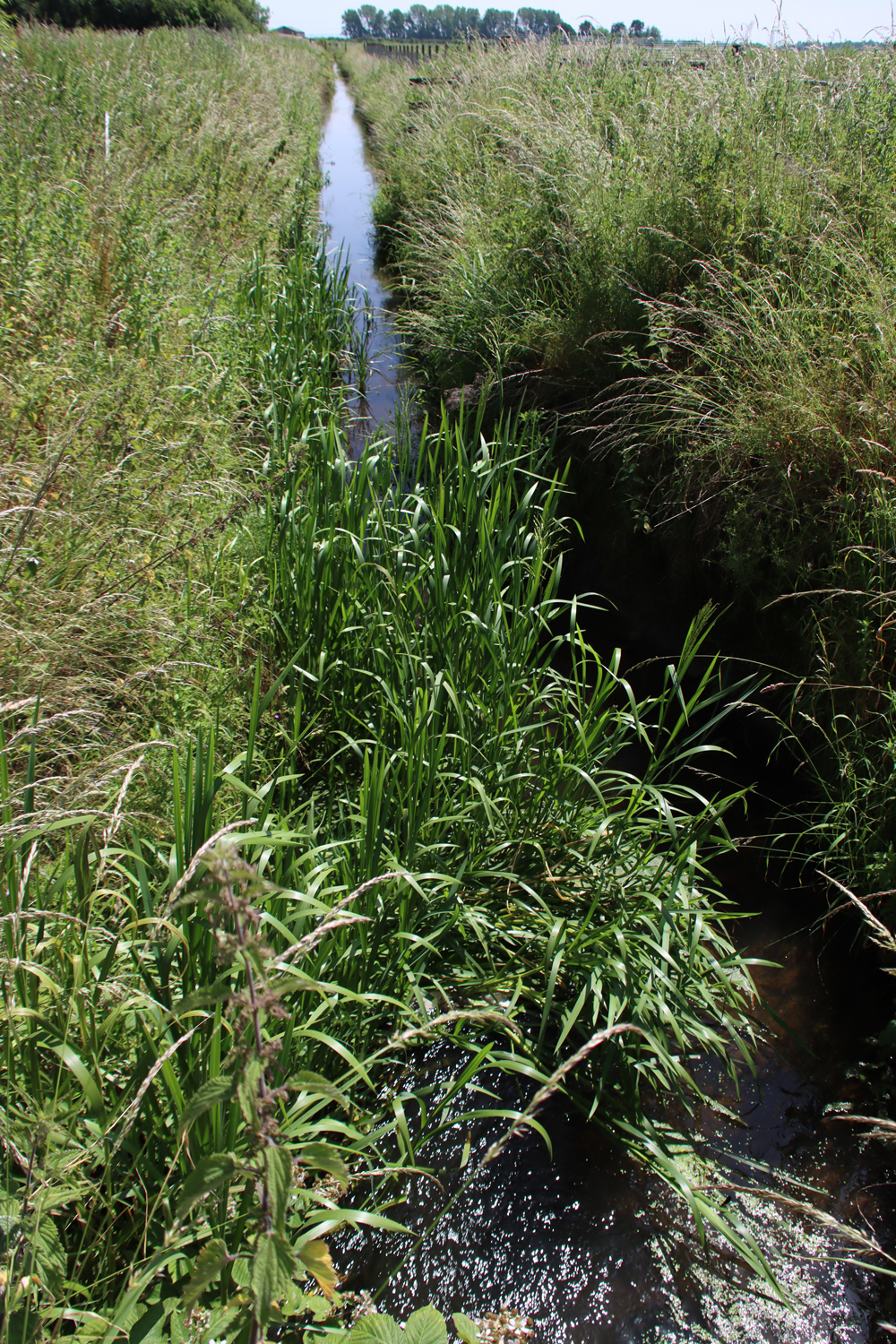
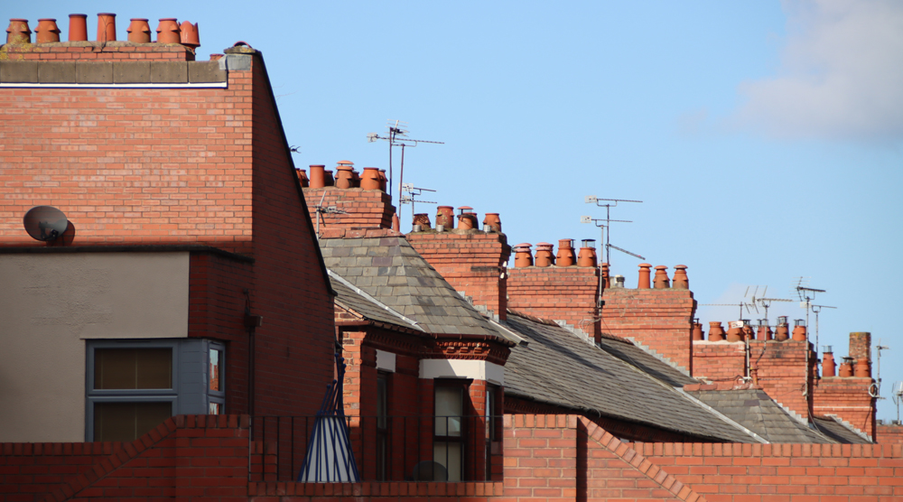
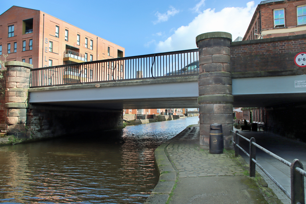
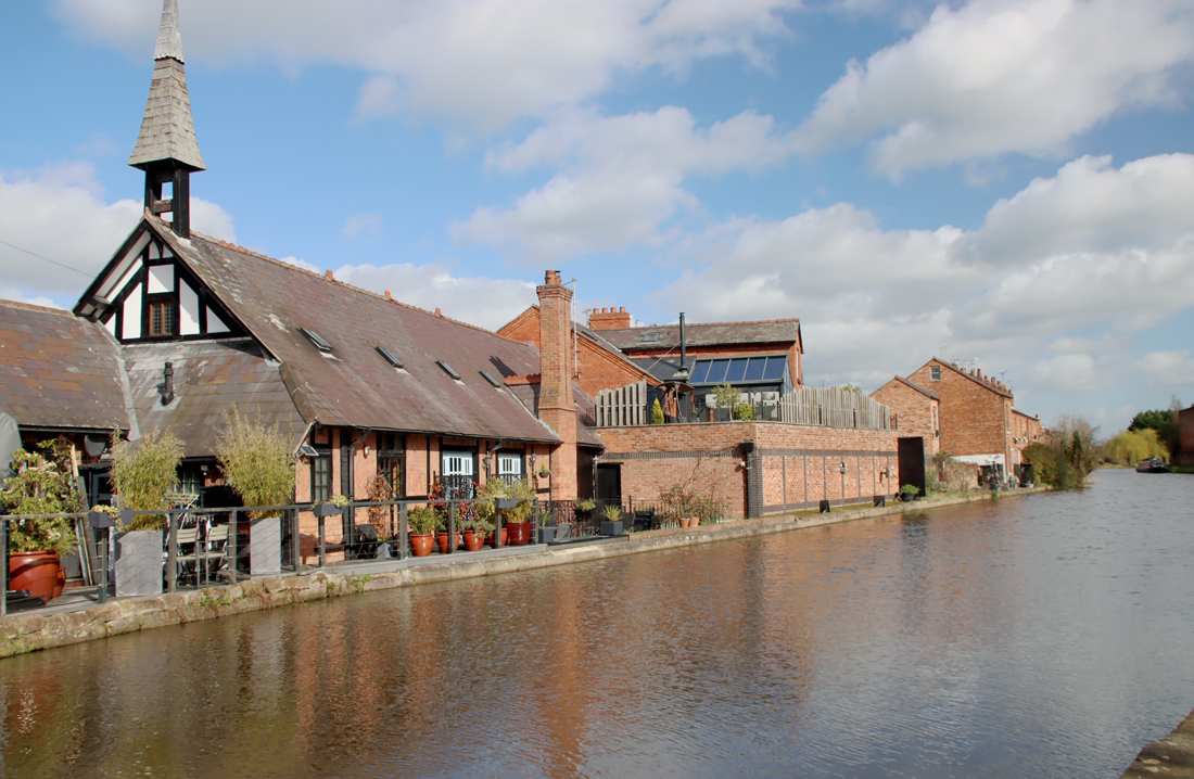
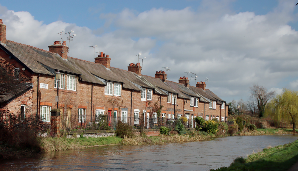
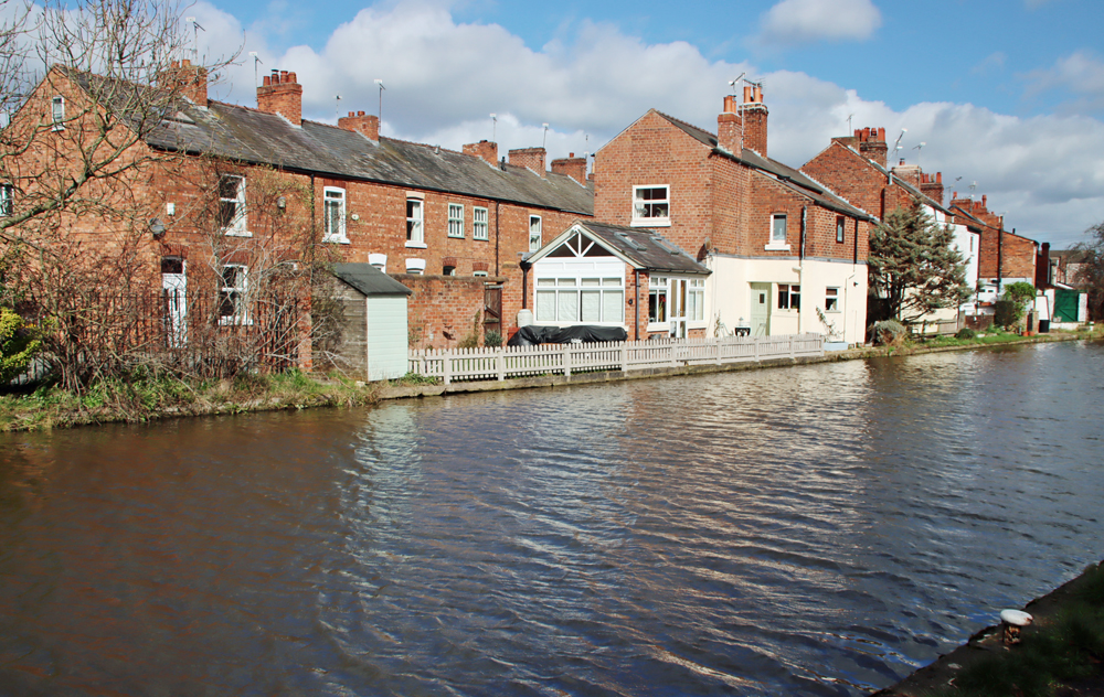
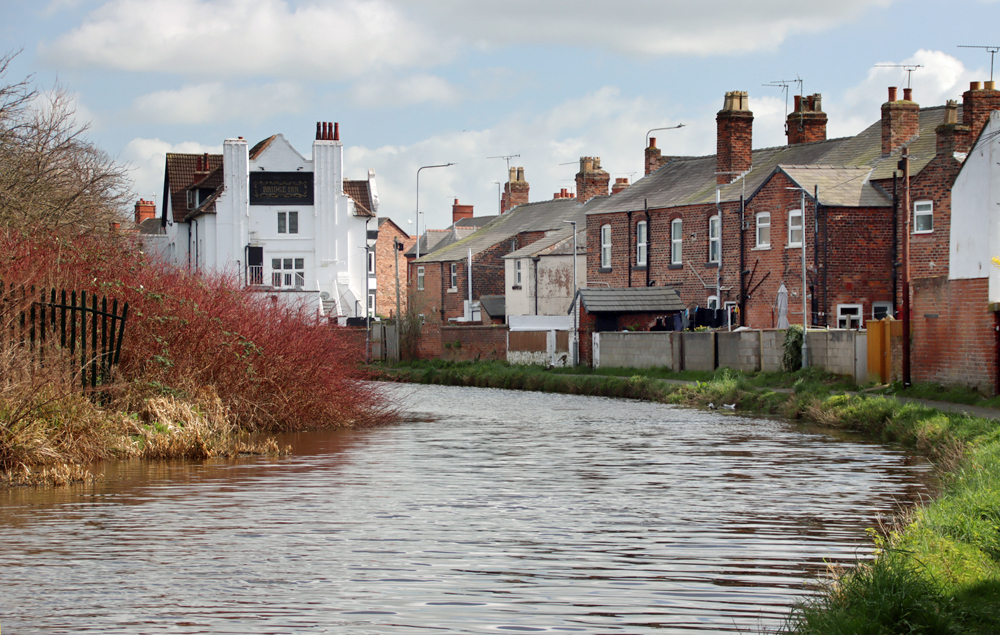
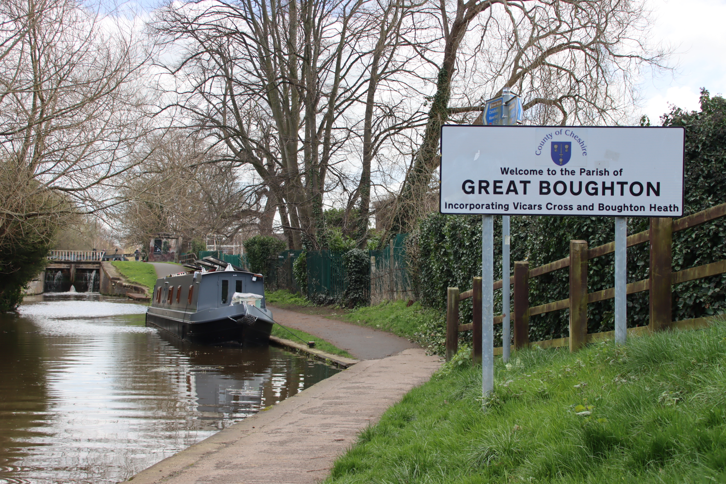
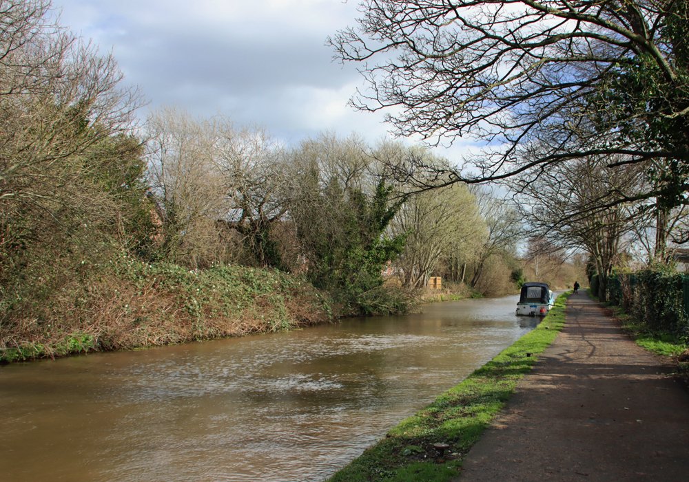
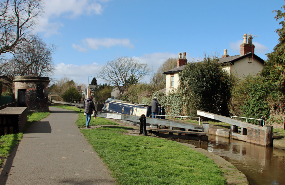
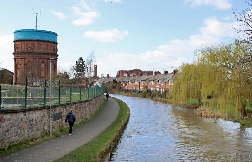
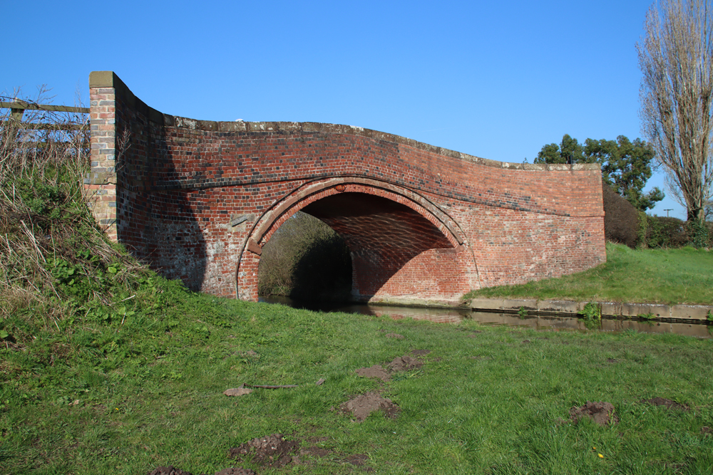
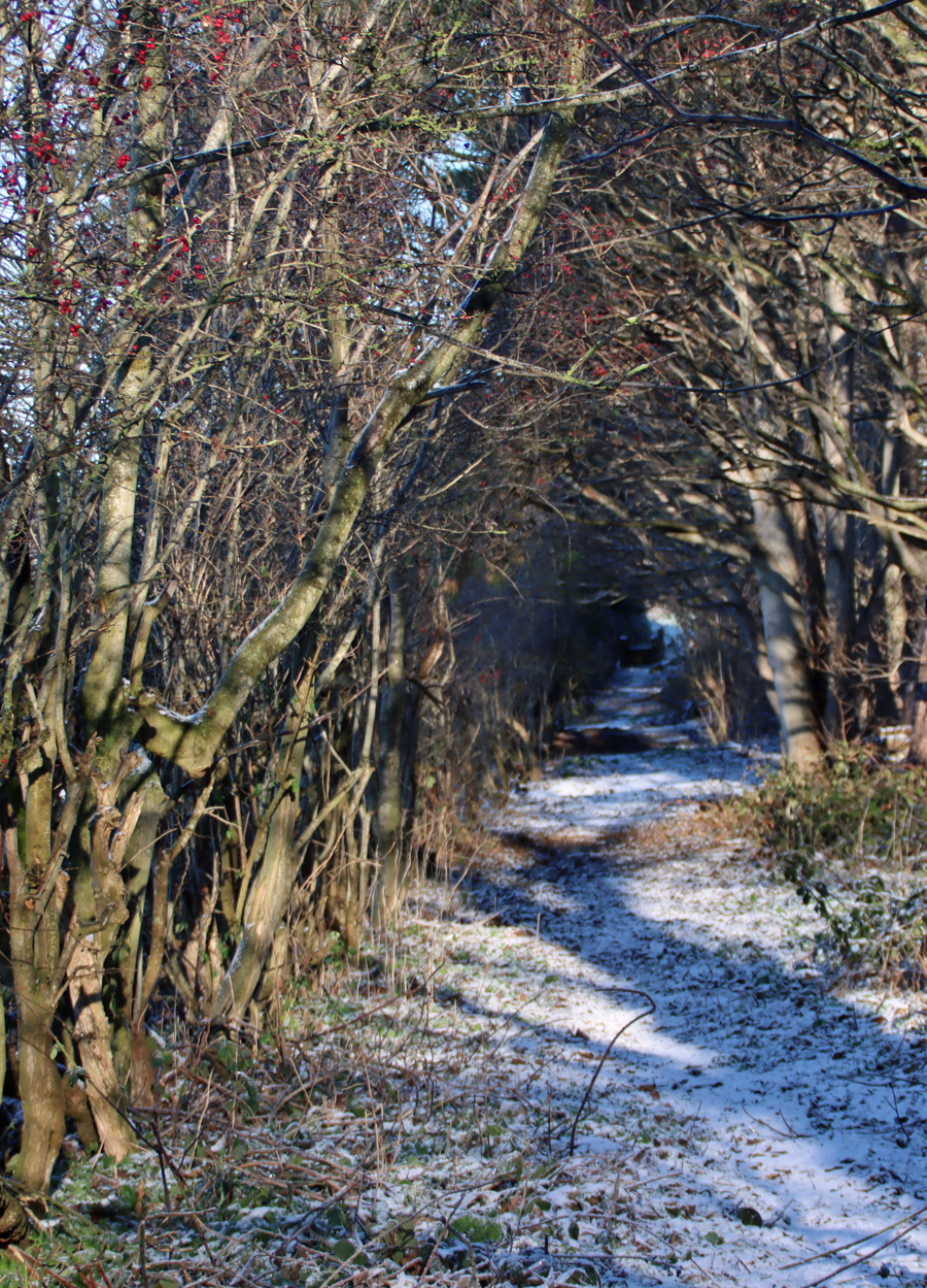
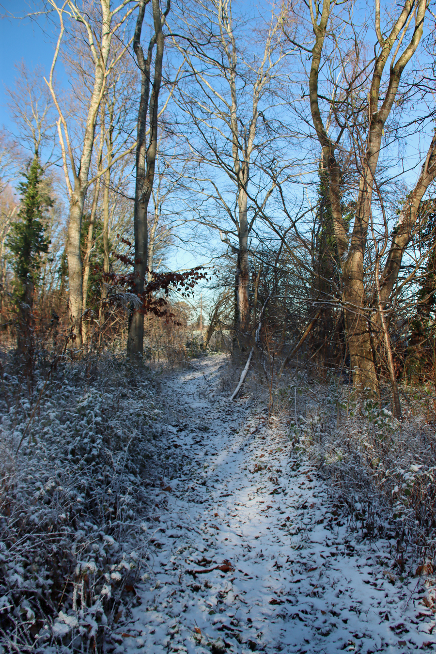
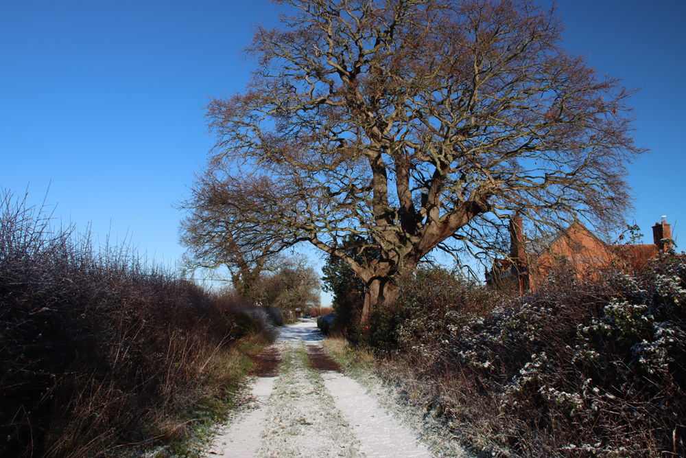
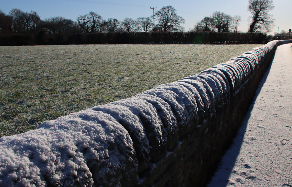
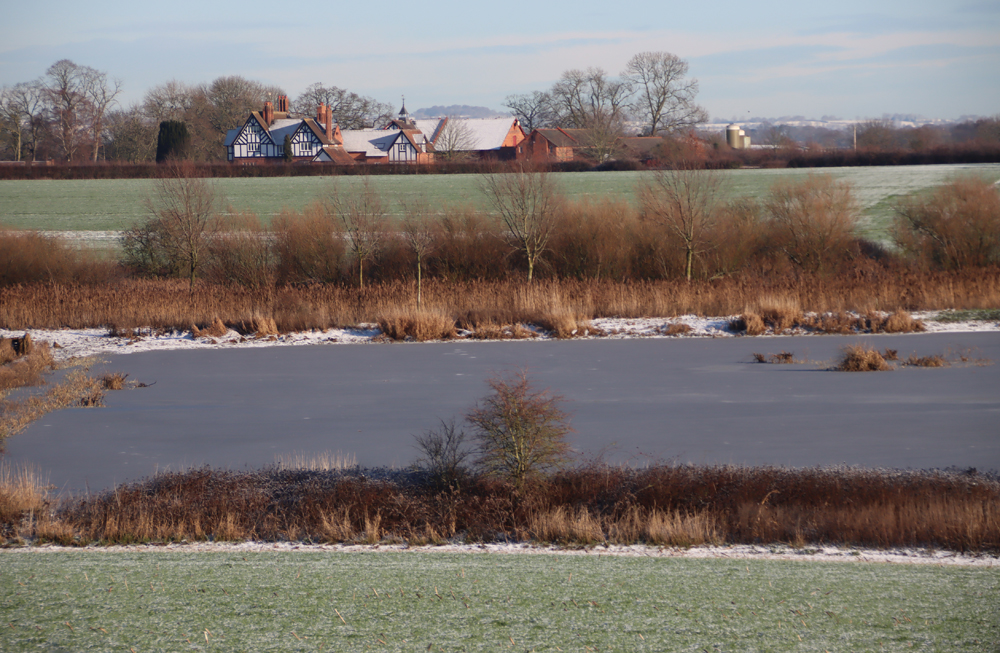
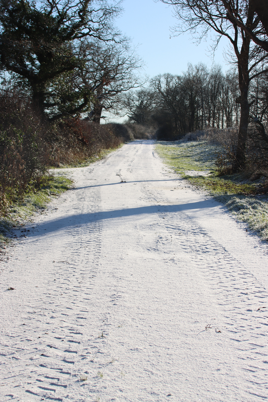
The village surrounding the church is very attractive, with multiple styles of building dispersed along the lines of several lanes, one of which dips down to the Gowy and climbs steadily beyond. Most of the village’s core dates back as far as the Tudor period, with fine historic buildings from other periods, all surrounded by an interrupted ring of more modern homes.
One of the interesting personalities in the village was Thomas Aldersey who in 1565 purchased the tithes (church income) from Elizabeth I. He was a contemporary of Sir Raufe Egerton, and as well as being a Member of Parliament, he was affiliated to the Company of Haberdashers, a powerful London Puritan guild, and appointed them as his trustees in 1590. This was significant because it gave the guild authority over the church, and their involvement lead to Bunbury becoming a centre for non-conformism and, in the 17th century, became the home of Cheshire’s first Methodist society. Even more interesting is that a census of 1640 showed that the parish housed some 112 illegal Catholics. Unsurprisingly, the two factions were often in conflict. This non-conformism lasted into the 19th century when there were two non-conformist chapels in Bunbury, the Wesleyan Trinity Chapel established in 1806, and a Primitive Methodist church on College Lane built in 1876.
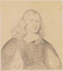
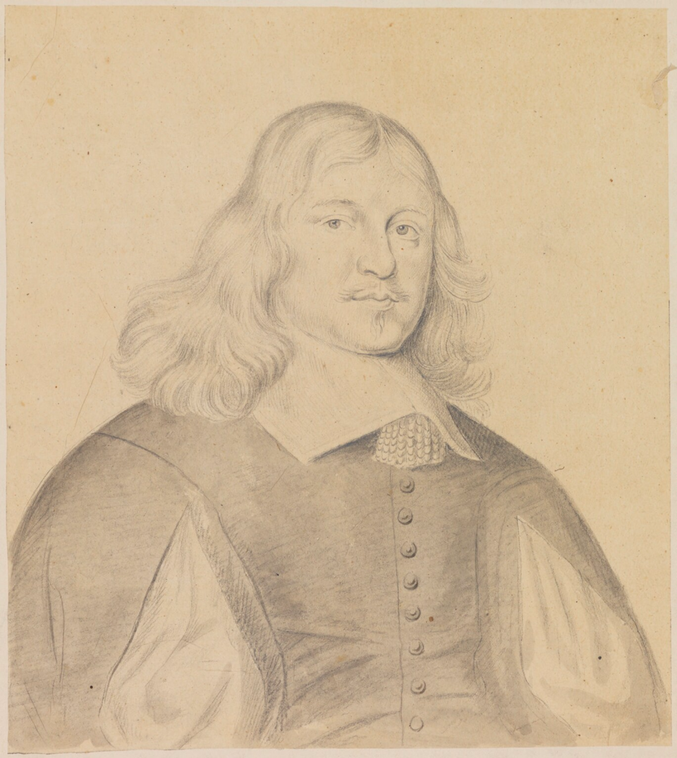
John Bradshaw by George Perfect Harding. Source: Wikipedia
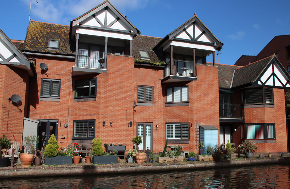
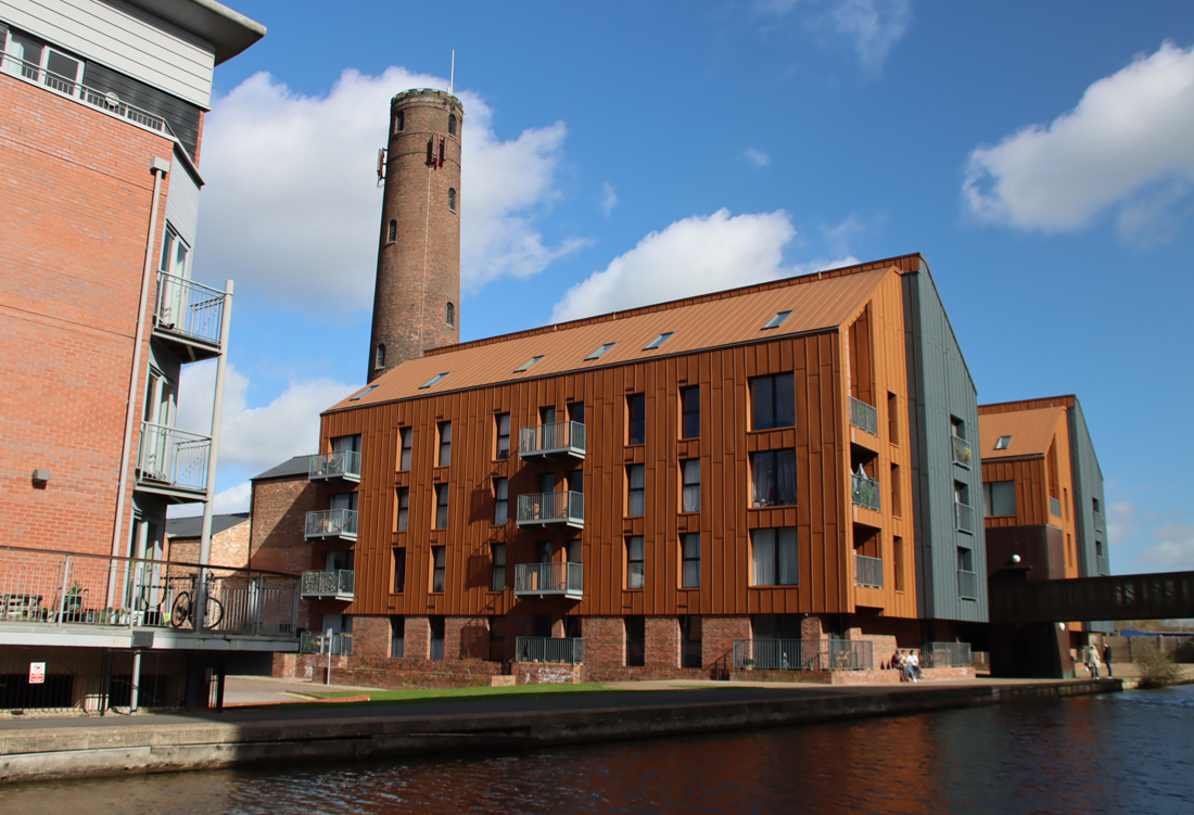
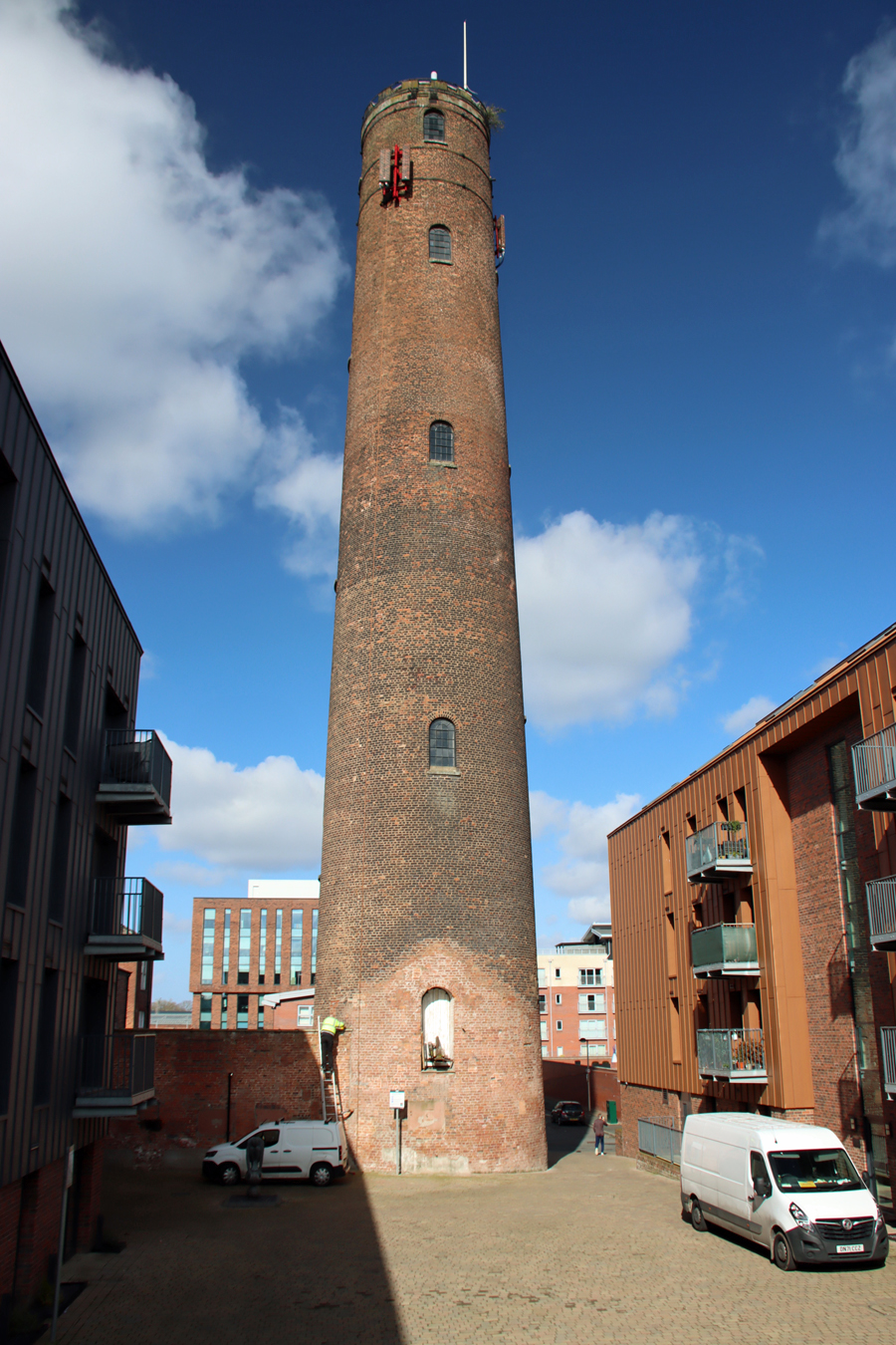
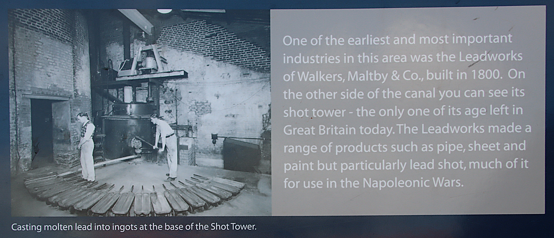
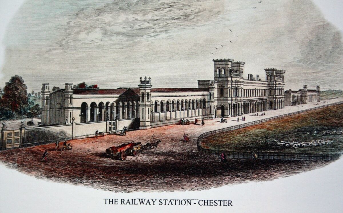
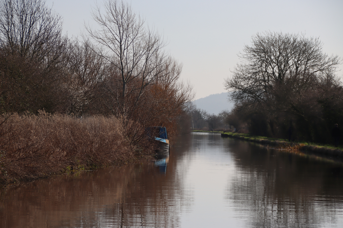
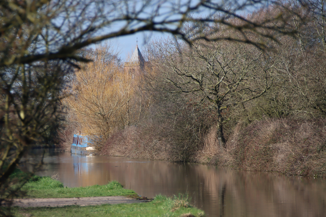
At the foot of the dip alongside the Gowy is The Chantry House, built by the same Raufe Egerton responsible for the Ridley Chapel, as a home for his chantry priests. It is a domestic half-timbered property dated by Historic England to roughly 1527, some 200 years after Sir Hugh Calveley had been sufficiently terrified by the prospect of Purgatory to finance a new incarnation of the church. Like many other buildings in Bunbury, The Chantry House has a rich history of its own and in 1594 was donated by Thomas Aldersey to the school’s master (the school has since been demolished). It was here that John Bradshaw is thought to have lodged as a child to attend the neighbouring school, growing up to become a jurist, judge, lawyer and politician. As a Chief Justice in Chester and North Wales, he presided over a number of witch trials. In 1649, he was made Lord President of the parliamentary commission that was established to put Charles I on trial, signed the death warrant on January 29th 1649, and subsequently held senior positions in the Commonwealth. Although he was buried in Westminster Abbey with his wife, on the reinstatement of the monarchy under Charles II they were both later disinterred, put on show, and then posthumously executed by beheading.
The Chantry House
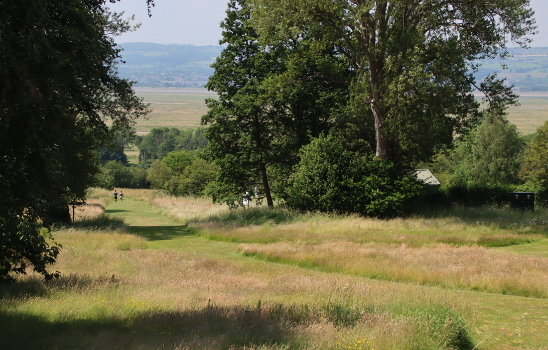
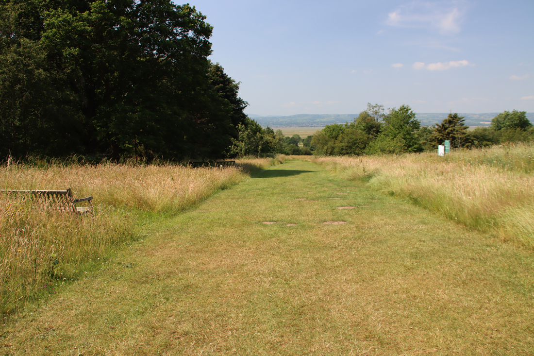
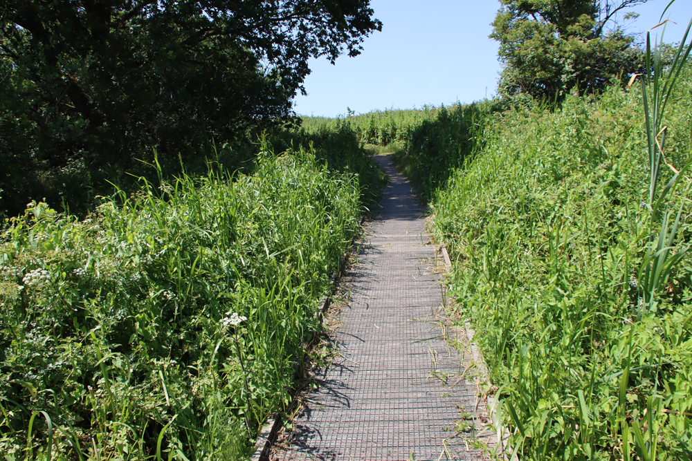
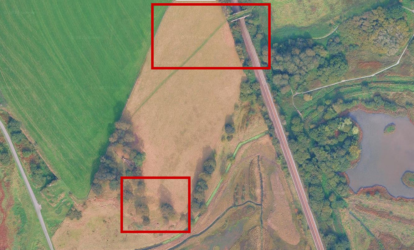
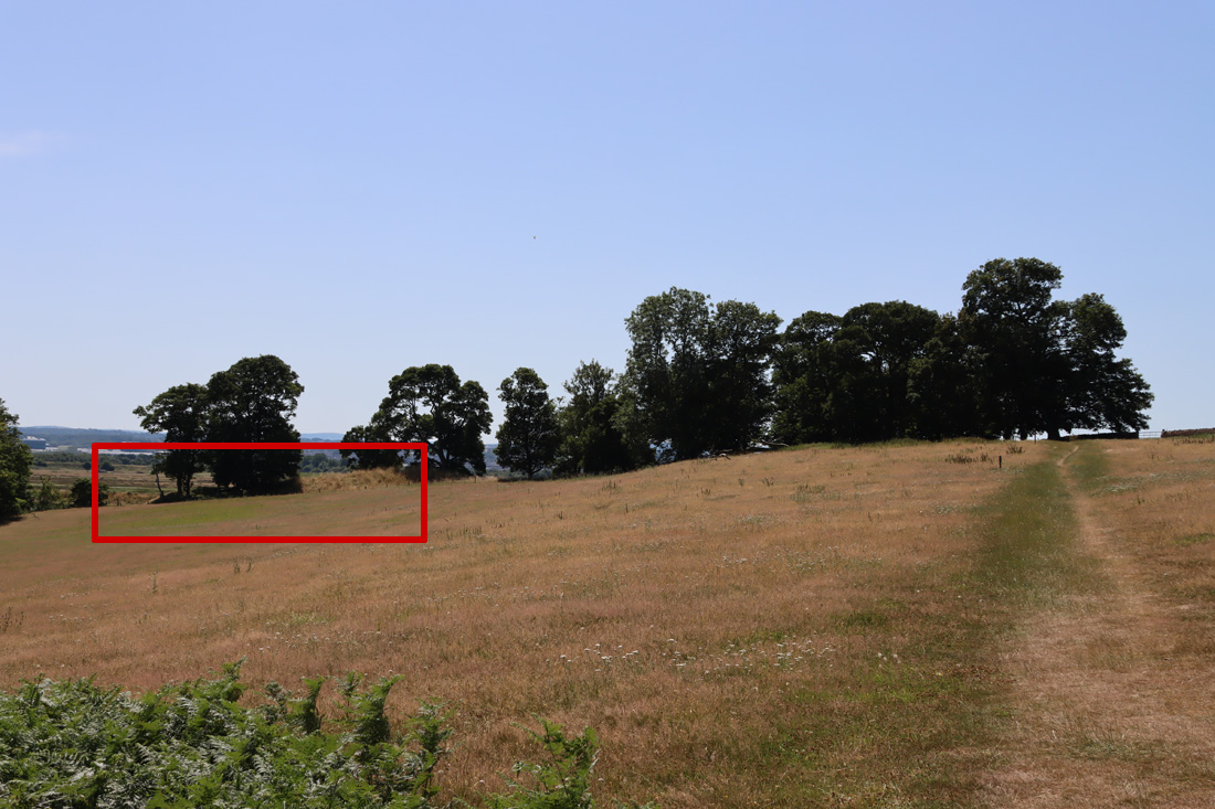
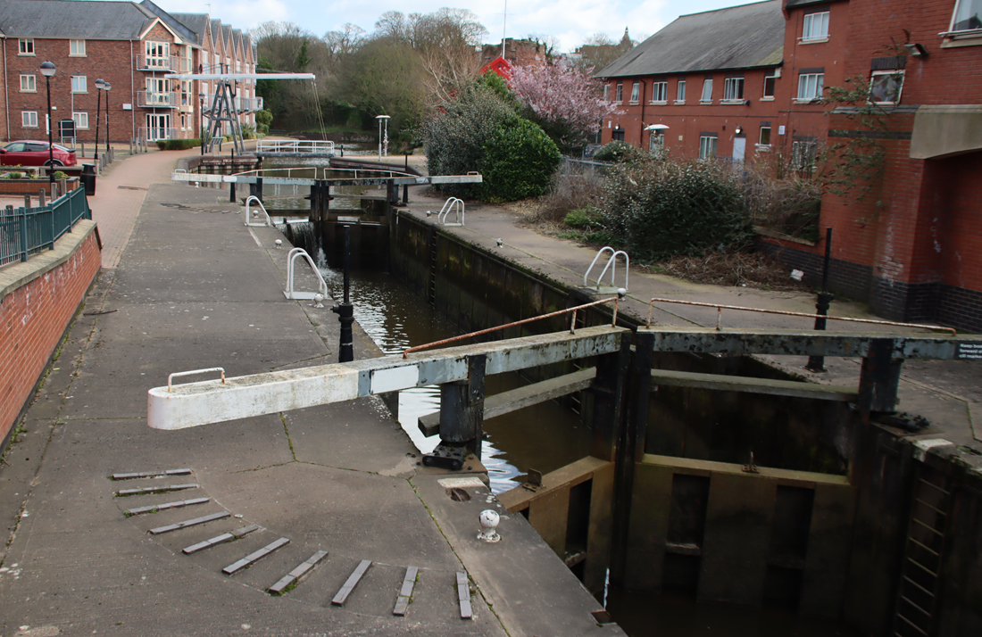
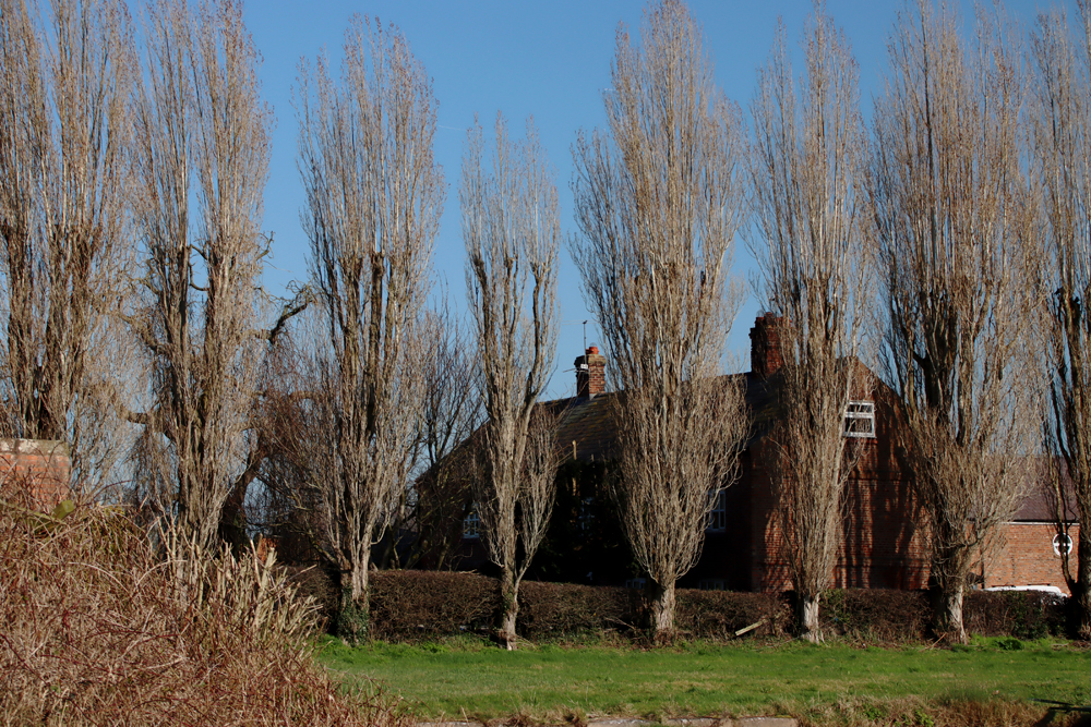
As Clare Dudman’s article highlighted, the centuries-old line of sight between the house and the church was under threat recently, when a proposal was submitted for a new building development in the meadow that lies between Chantry House (and the River Gowy), and the slope up to the church. The planning permission was recently refused in favour of retaining the open meadow. Here’s an excerpt from the Decision Notice (Application No. 25/3509/PIP) refusing planning permission:
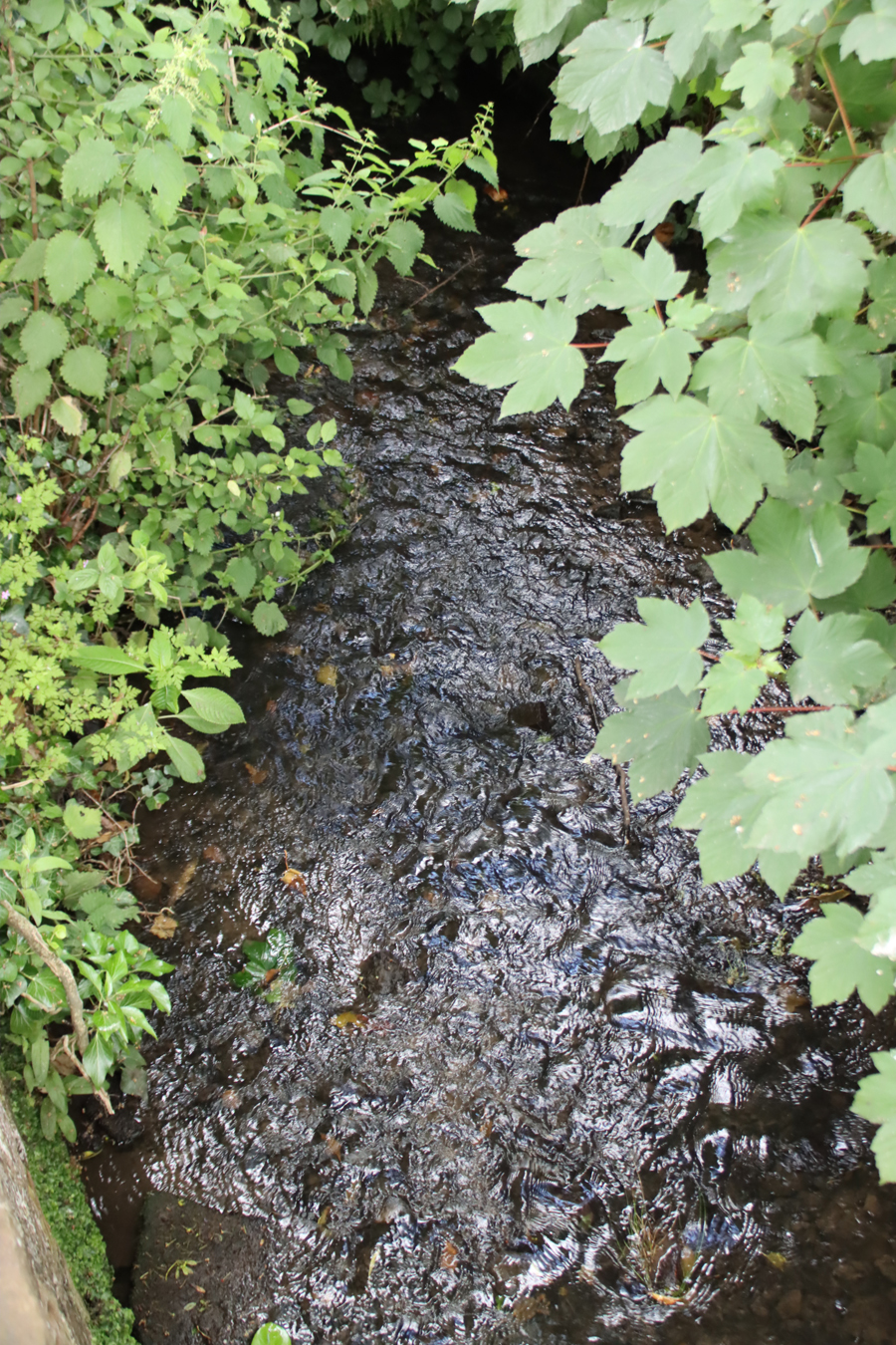
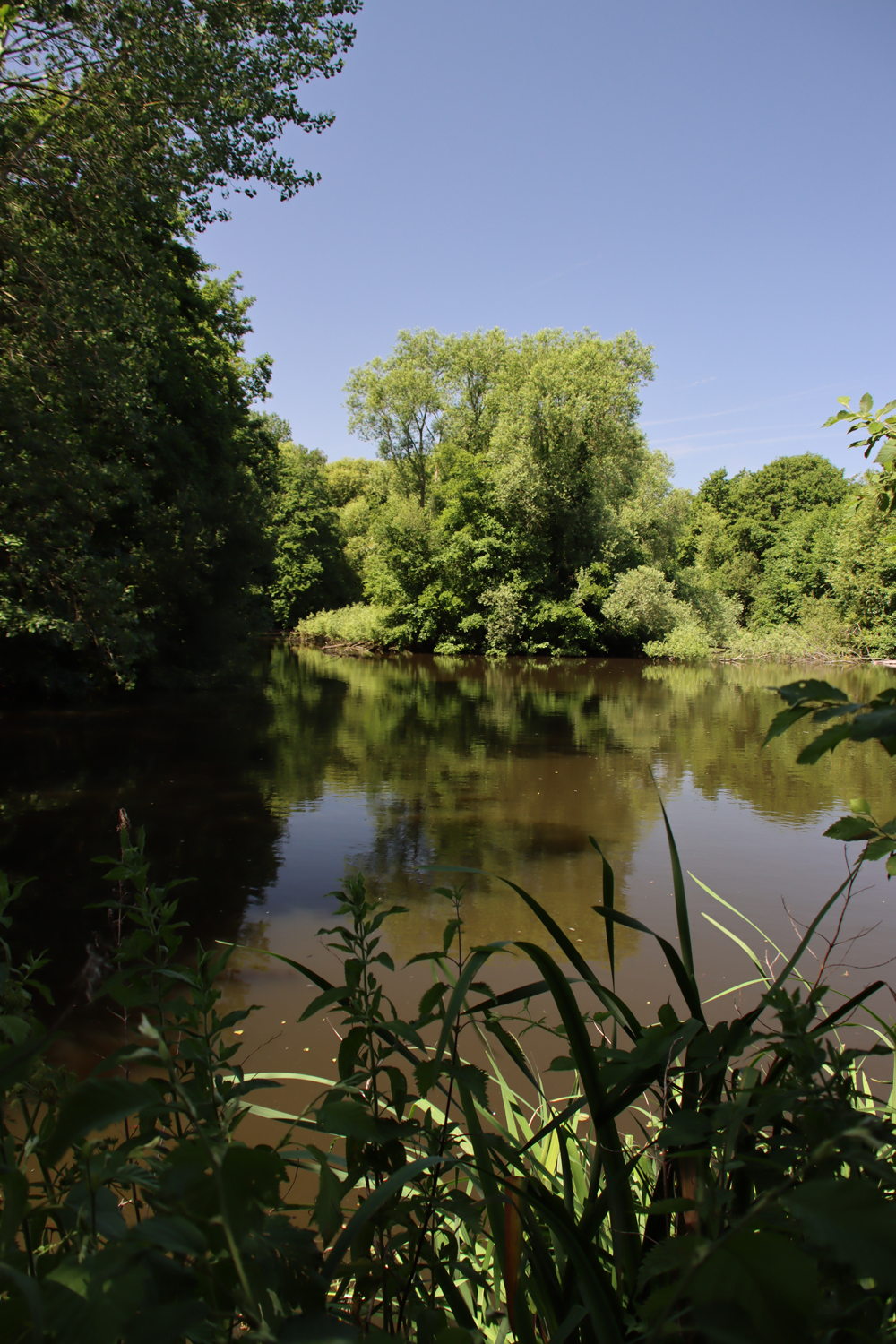
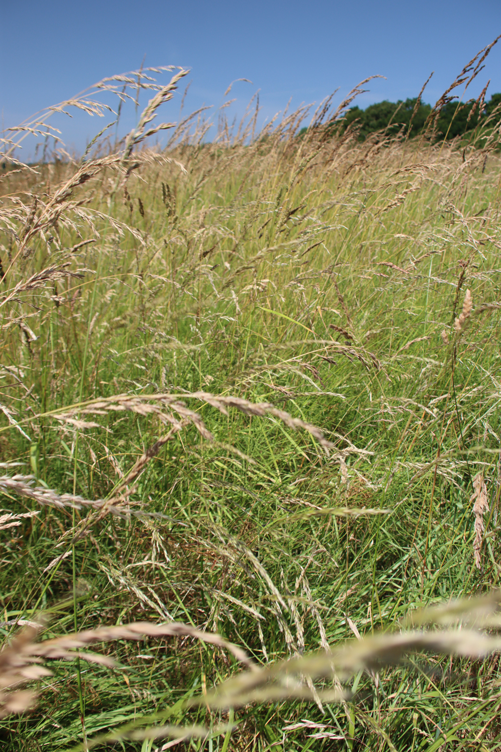
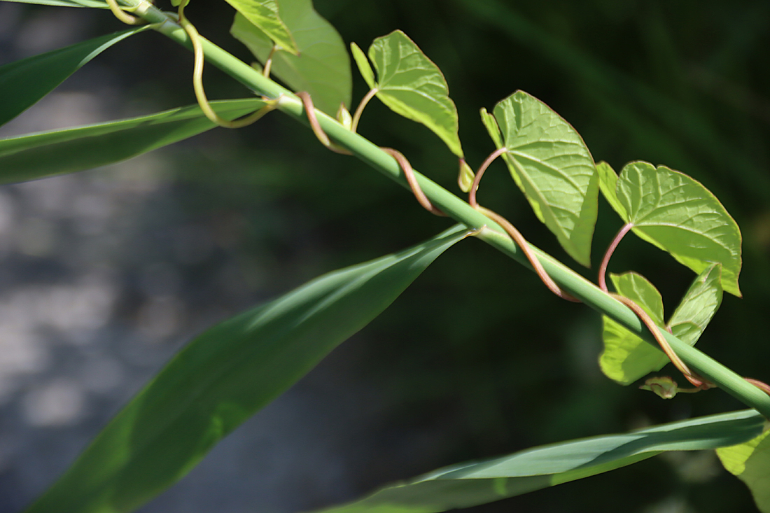
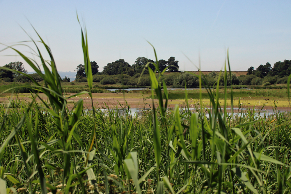
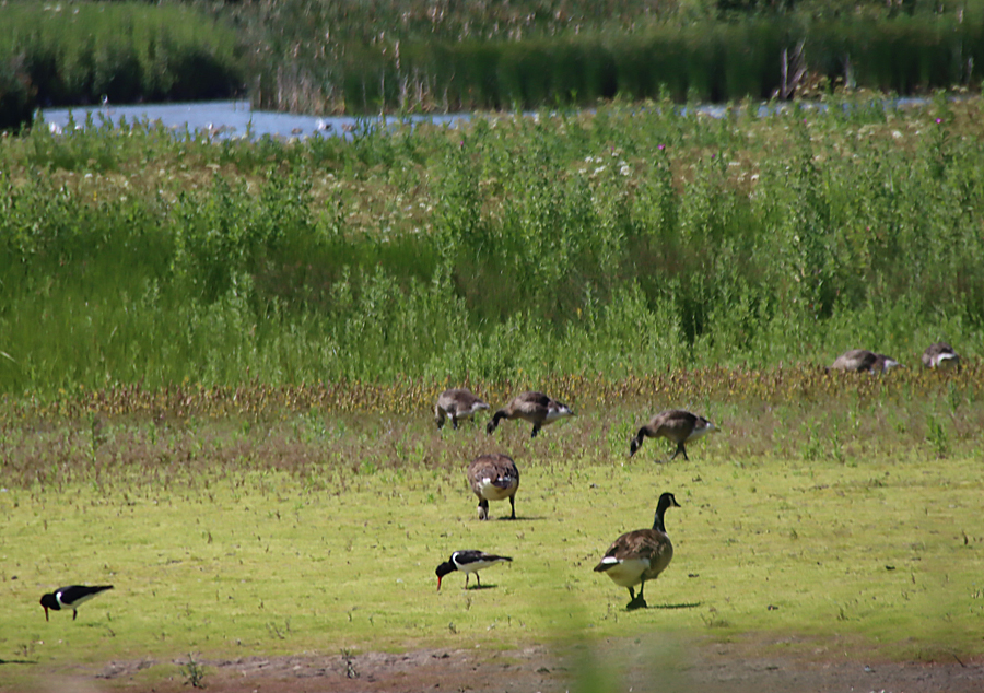
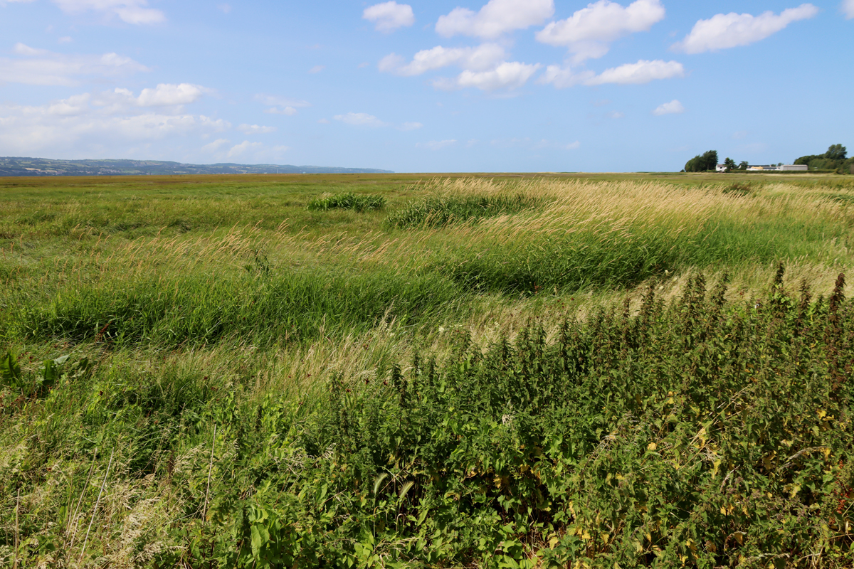
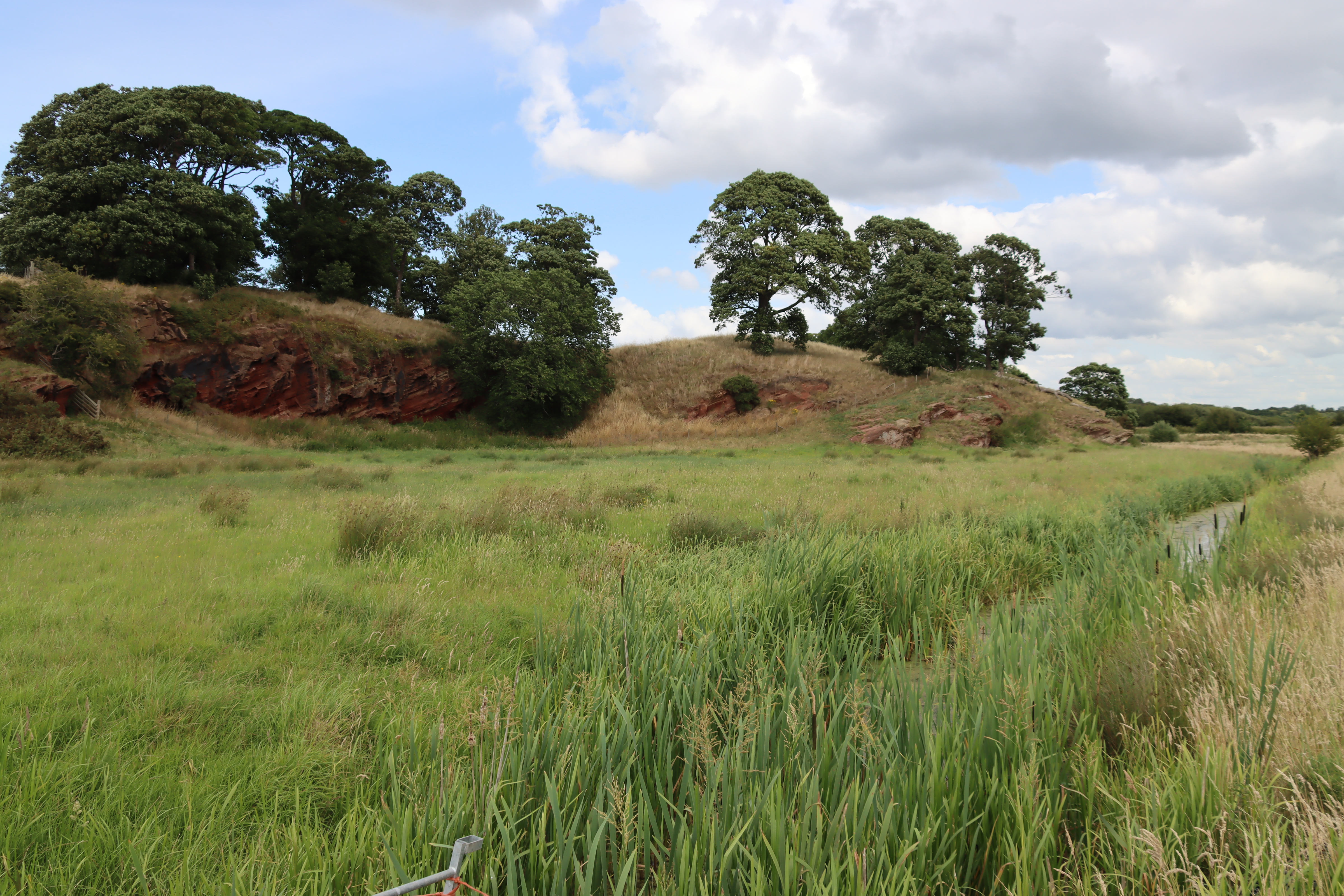
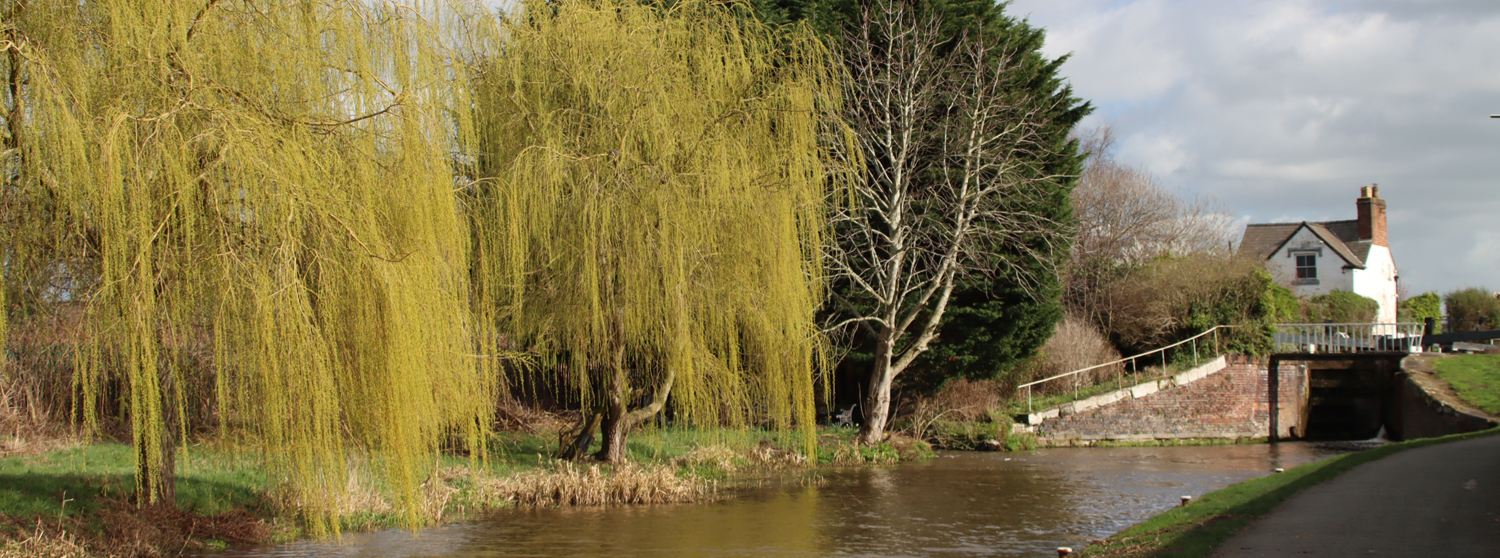
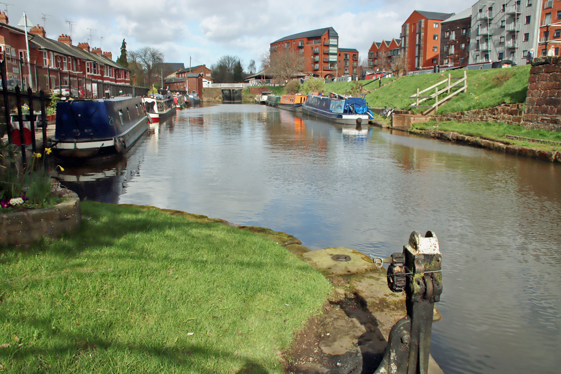
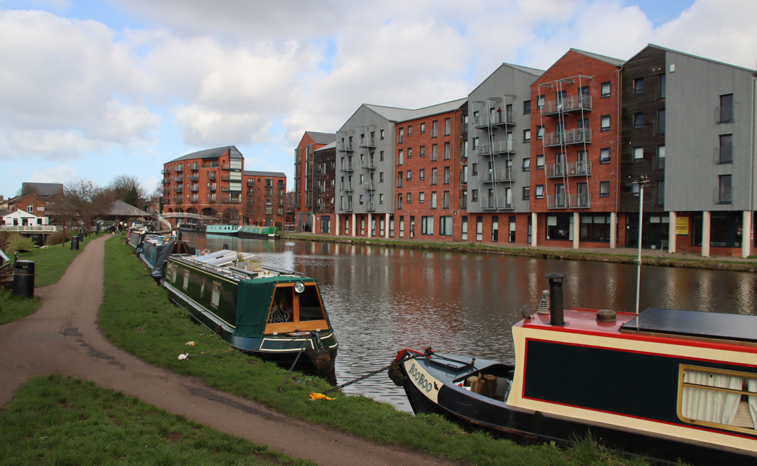
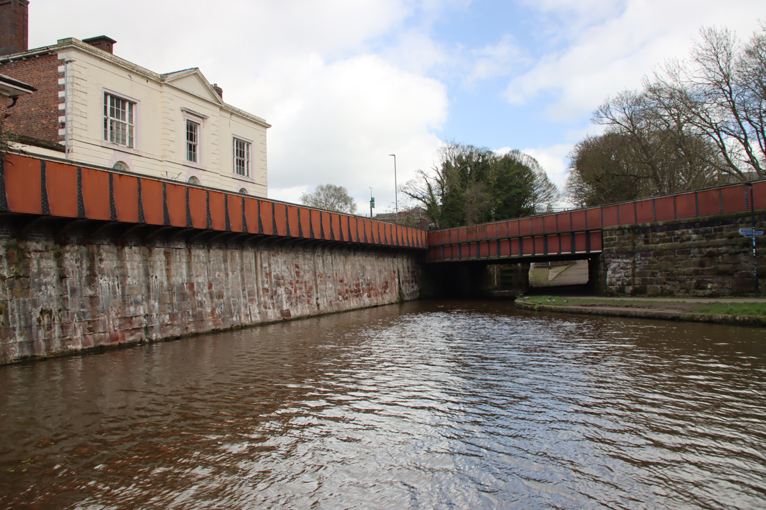
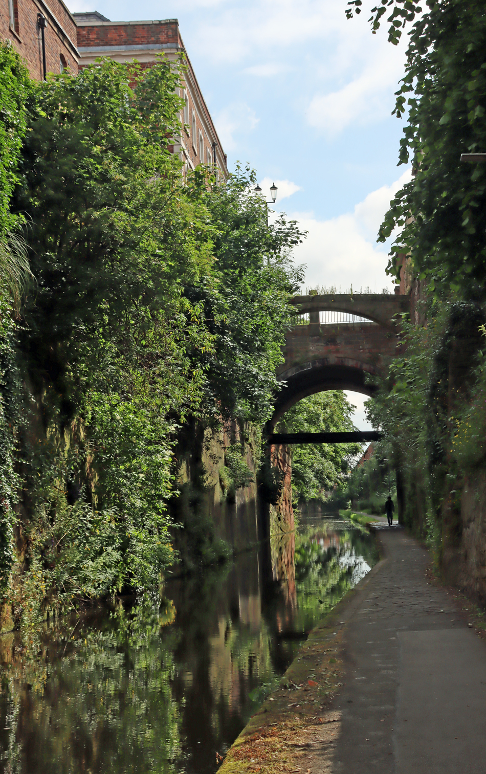
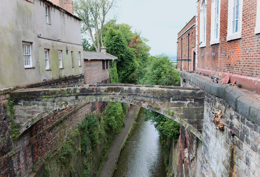
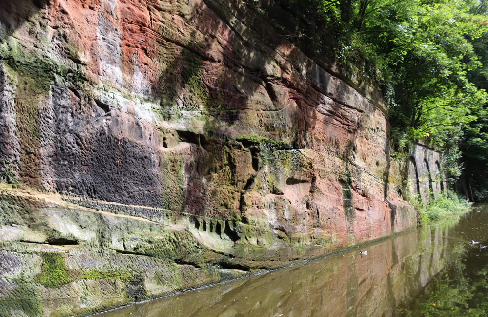
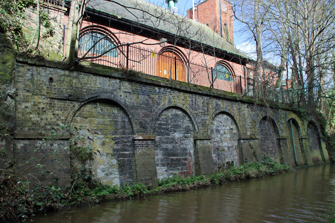
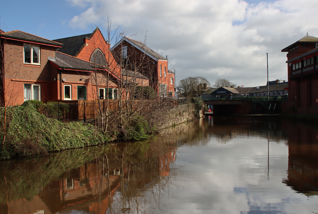
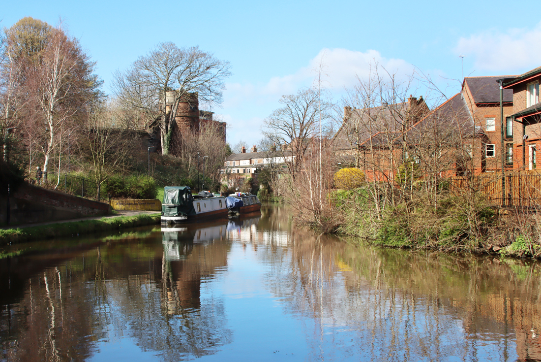
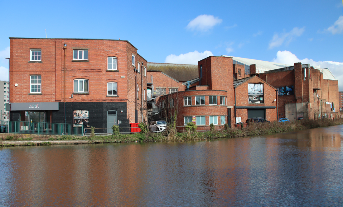
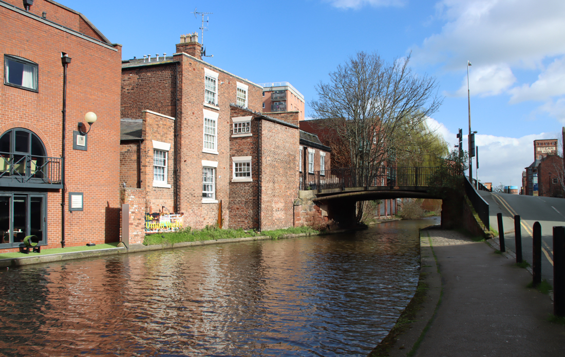
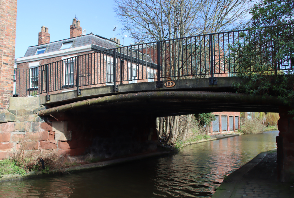
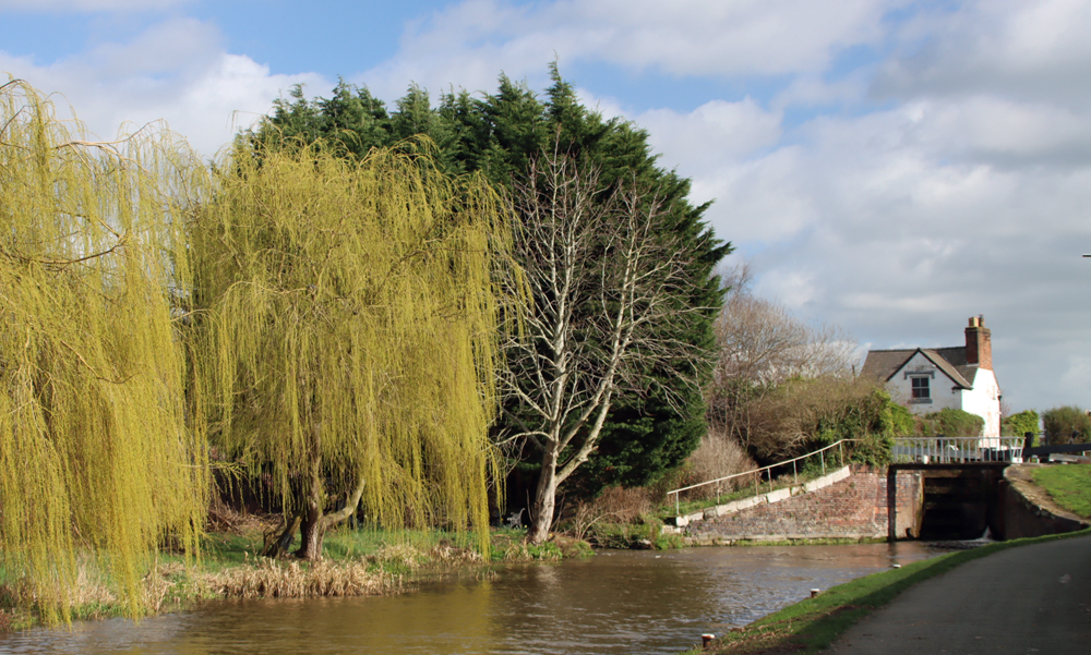
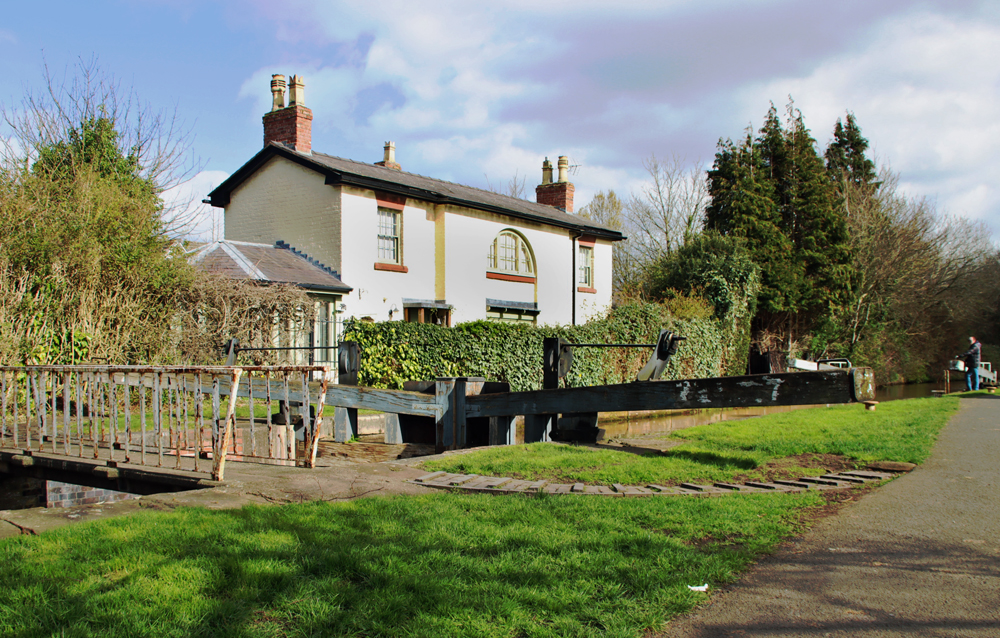
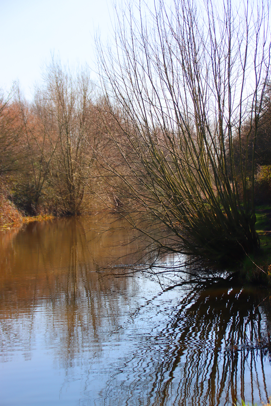
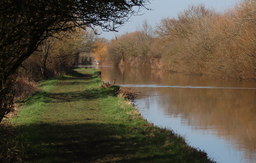
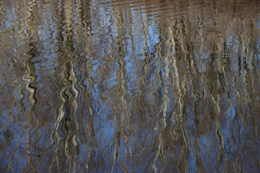
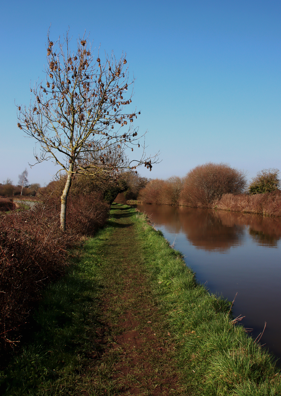
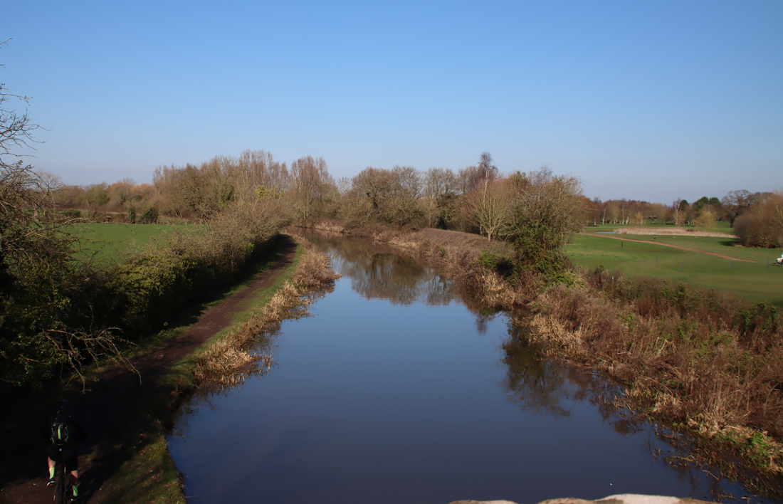
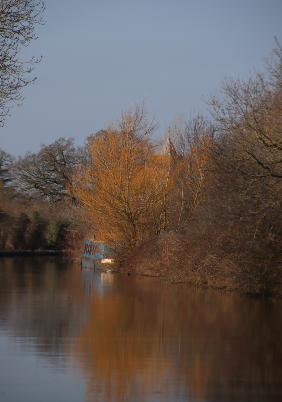
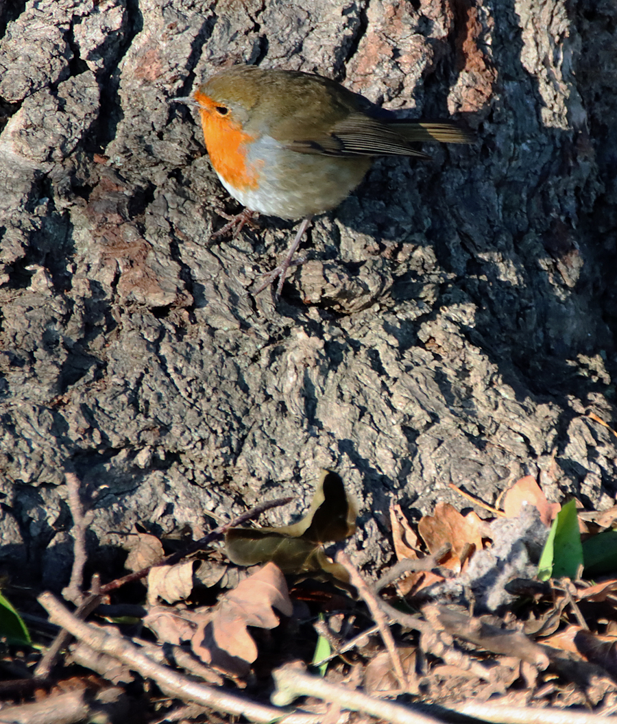
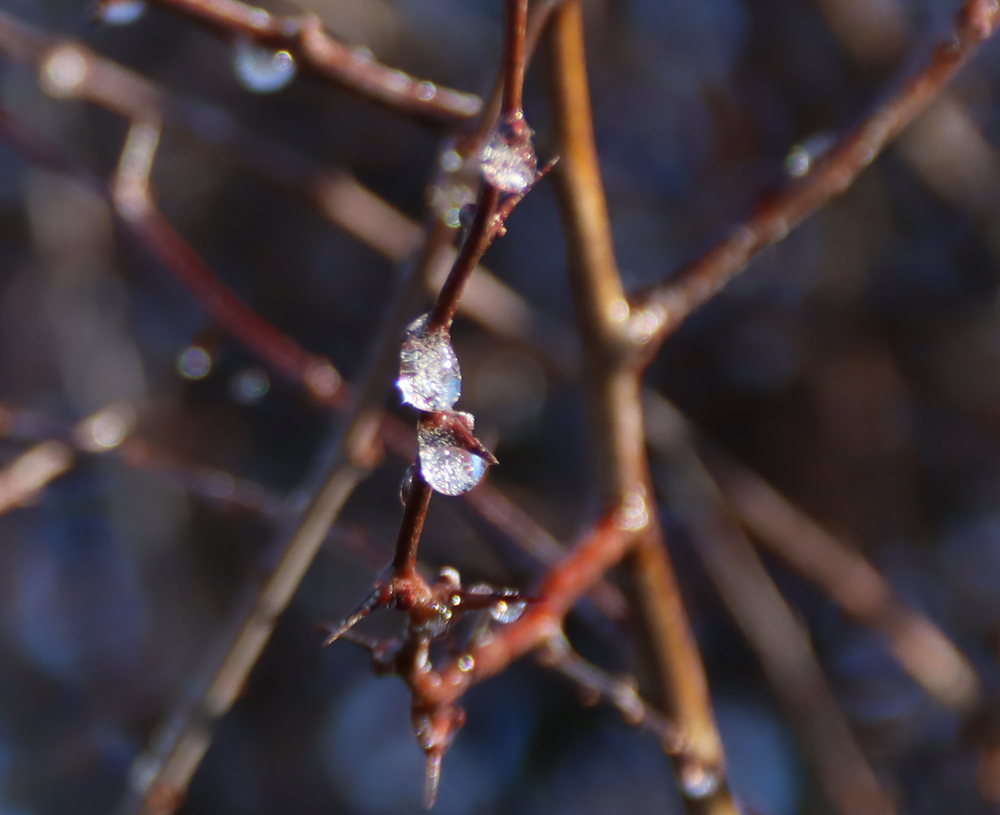
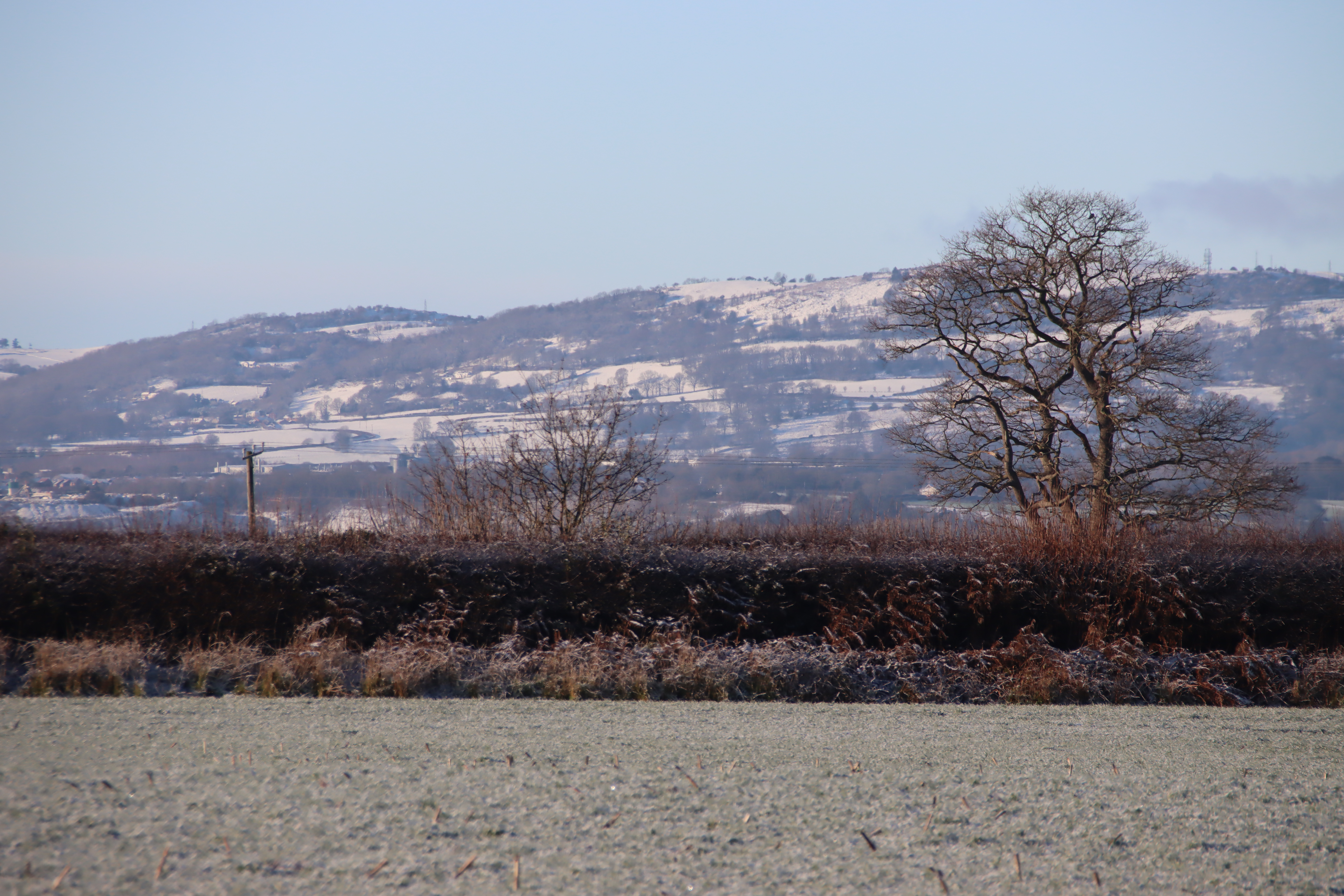
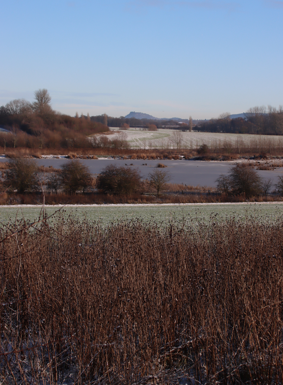
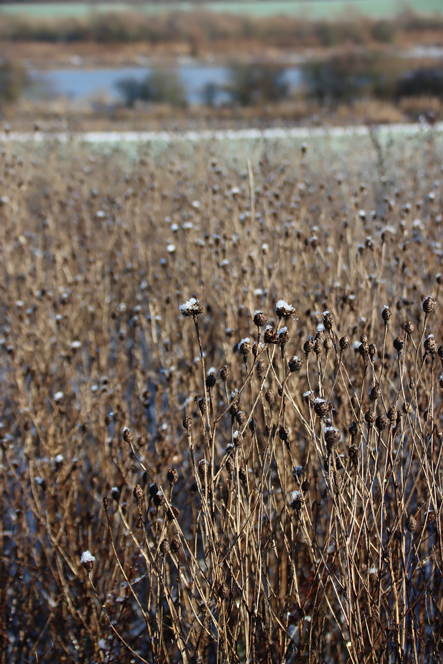
The river Gowy
The proposed development is located within the Open Countryside and does not meet
any of the exceptions noted for development within Open Countryside. Furthermore, the
proposal would not integrate into the rural surrounding context and would erode the
existing distinction between the settlement boundaries and the wider open countryside
which contributes to the character of Bunbury. Furthermore, the development would
impact on the important local views and vistas and would have a conspicuous
urbanising effect that would fail to respect the intrinsic rural character of the wider
landscape, which would be harmful to the verdant rural character, appearance and
qualities of Bunbury contrary to Policies PG6.
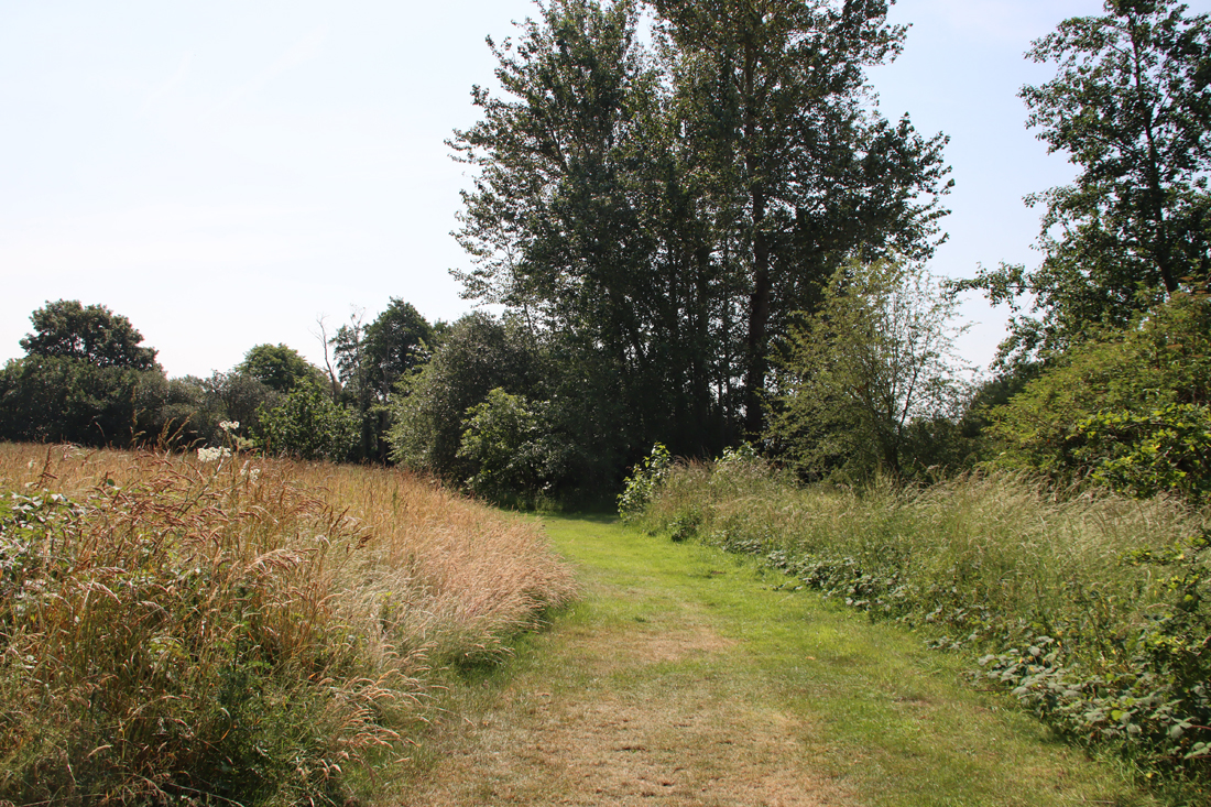
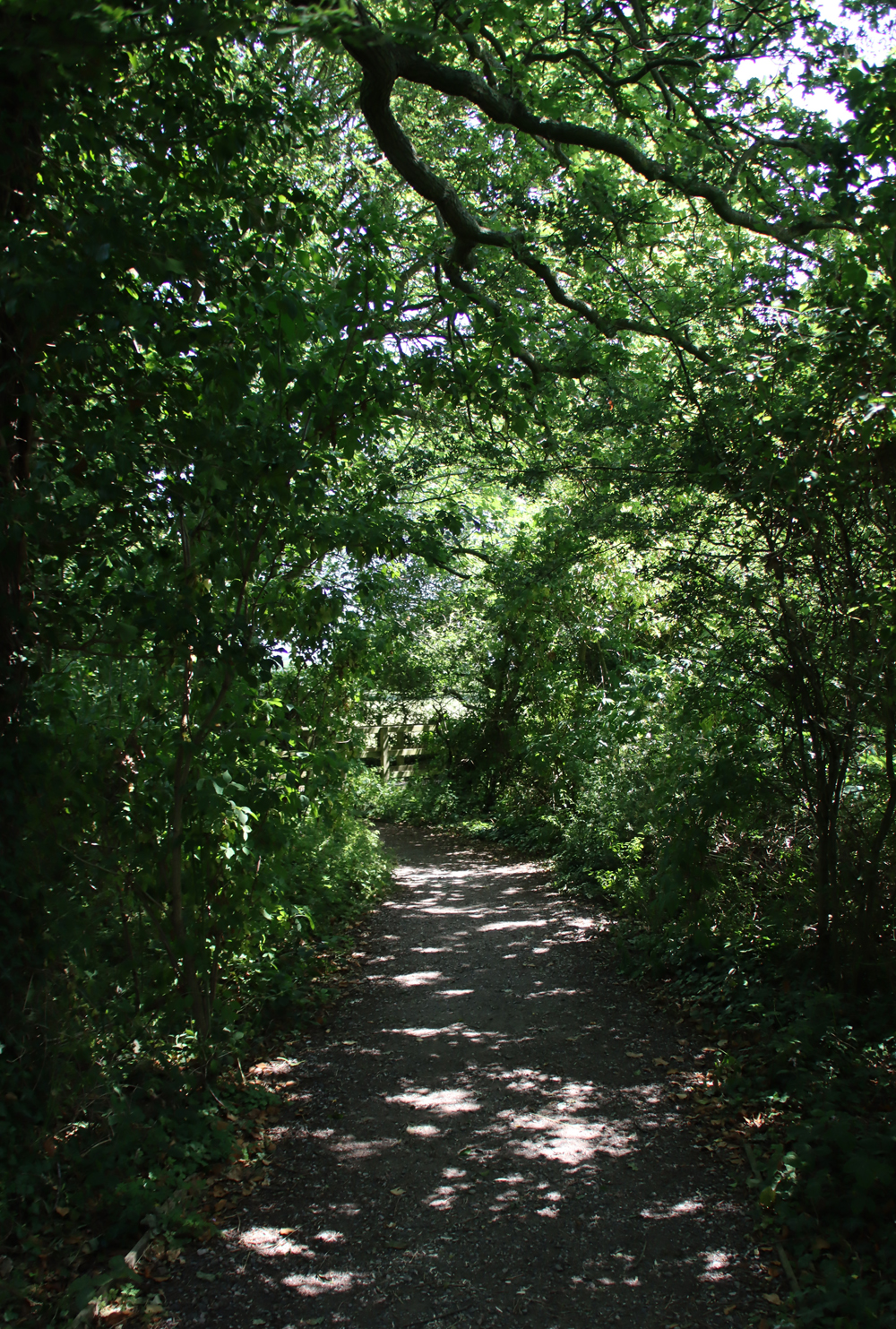
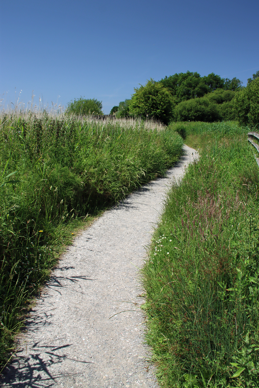
Common sense, good taste and support for the retention of rural elements within the village prevailed in the end. A footpath through the field gives good views of both The Chantry House and the church.
There is a Wikipedia page showing all the listed buildings in Bunbury.
Visiting details
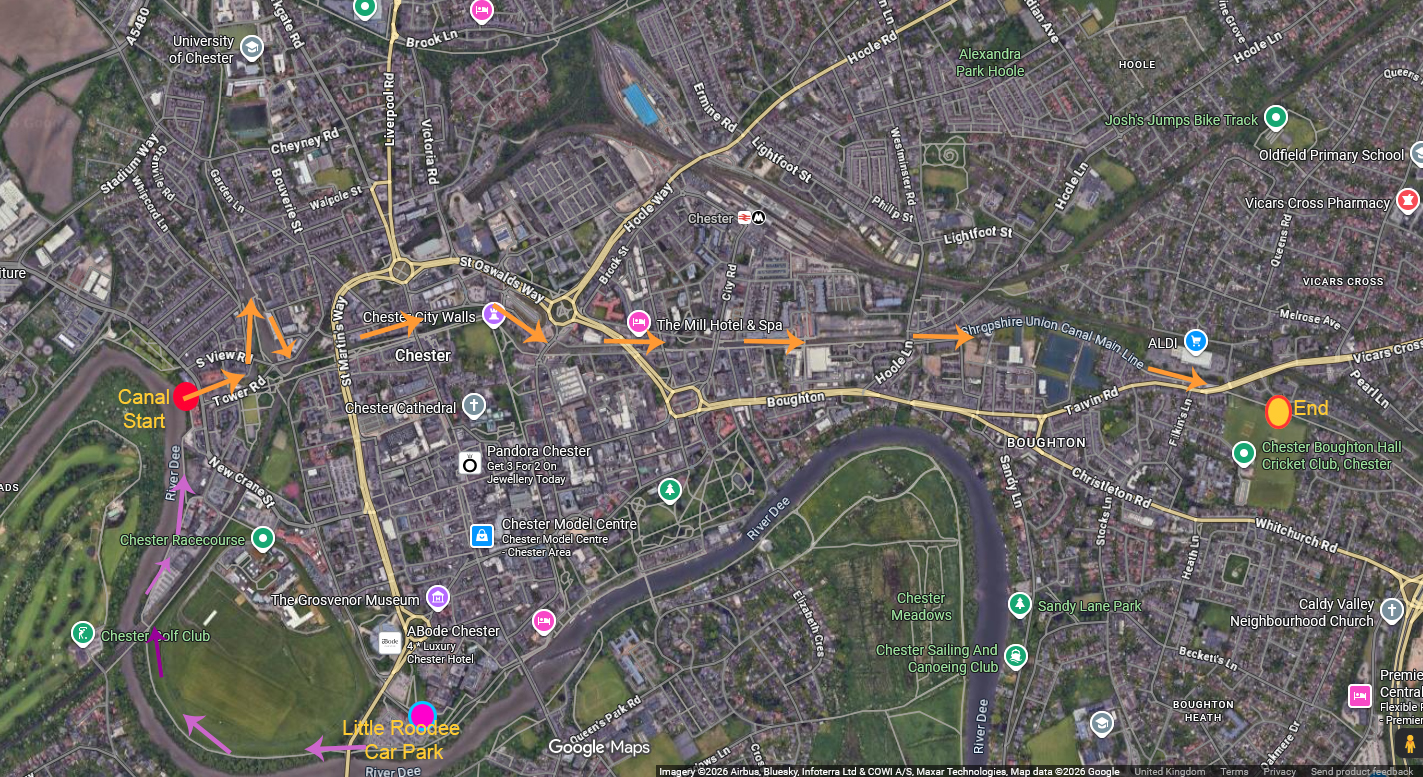
 There are no details of opening times for St Boniface either on the website or at the church, but it was open on both visits, and appears to have an open door policy. It is worth checking the website to ensure that you don’t accidentally arrive when a service or a church event is being held. For those using satnav, the church is on Bowe’s Gate Road and the What3Words address is ///dollar.papers.currently. There is no official car park but there is plenty of on-street parking in the immediate vicinity of the east end of the church.
 If you are more organized than I was, you can download a PDF of the history of the church from the St Boniface website before you visit here. I recommend doing so because there are no pamphlets to pick up or purchase at the church to learn about its history, although on a cupboard top on the right-hand side, just before you enter the nave, you can open a copy of the book England’s Thousand Best Churches by Simon Jenkins to see the one-page summary, and next to it there is a framed sheet of A4 with a potted history of the church. Other sources are listed below.
The Chantry House is a private residence and not open to the public.
If you go for a wander around the village, do take care to stand well back for the traffic, because there are no footpaths on most of the lanes, and delivery vehicles and through-traffic tend to travel at some speed, in spite of the narrow and bendy roads.

Sources:
Books and papers
Cook, G.H. 1959. English Collegiate Churches. Phoenix House Ltd
Dudman, Clare 2026. The Chantry House and School Field, Bunbury. Chester Antiquary (newsletter of Chester Archaeological Society), 2026 issue 1
https://chesterarchaeolsoc.org.uk/wp-content/uploads/2026/04/CHE_Antiq_26-01_V03.pdf (with links to other sources of information)
Farmer, David 2011 (5th edition). Oxford Dictionary of Saints. Oxford University Press.
Jenkins, Simon 2000. England’s Thousand Best Churches. Penguin Books
Jeffrey, Paul 2007. The Collegiate Churches of England and Wales. Robert Hale Ltd.
Pevsner, Nikolaus and Edward Hubbard 1971. The Buildings of England: Cheshire. Penguin Books
Roffey, Simon 2007. The Medieval Chantry Chapel. An Archaeology. Studies in the History of Medieval Religion XXXIV. Boydell Press
Websites
Chester Civic Trust
February 2025 event: Chester Witches
https://chestercivictrust.org.uk/february-event-chester-witches/
Historic England
The Church of St Boniface, Bowes Gate Road, Bunbury, List Entry 1138626
https://historicengland.org.uk/listing/the-list/list-entry/1138626
The Chantry House, Wyche Road, Bunbury, List Entry 1138635
https://historicengland.org.uk/listing/the-list/list-entry/1138635
St Boniface Church, Bunbury
Home
https://www.stbonifacebunbury.org/
Tour of St Boniface
https://www.stbonifacebunbury.org/_files/ugd/2ae44a_06c1c7df158841a39fd31257c004ed7e.pdf
Historical Document Archive
https://www.stbonifacebunbury.org/archive-1
Wikipedia
Listed Buildings in Bunbury
https://en.wikipedia.org/wiki/Listed_buildings_in_Bunbury,_Cheshire

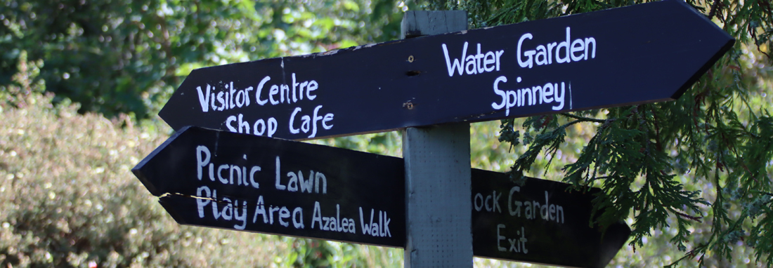
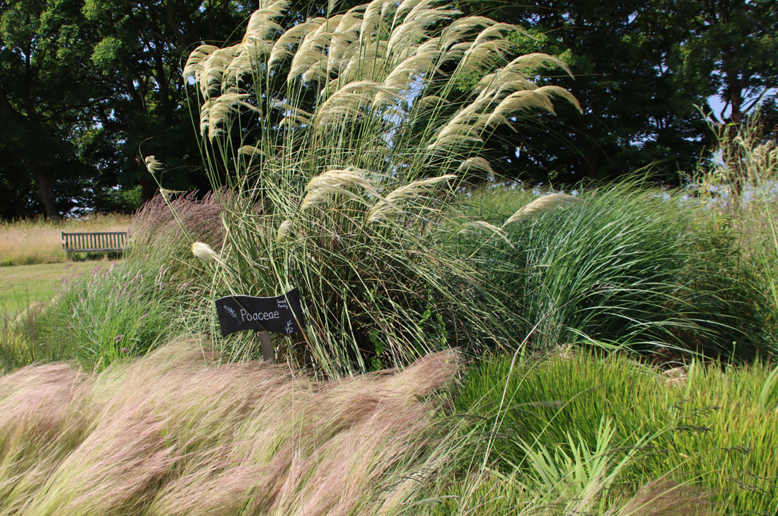
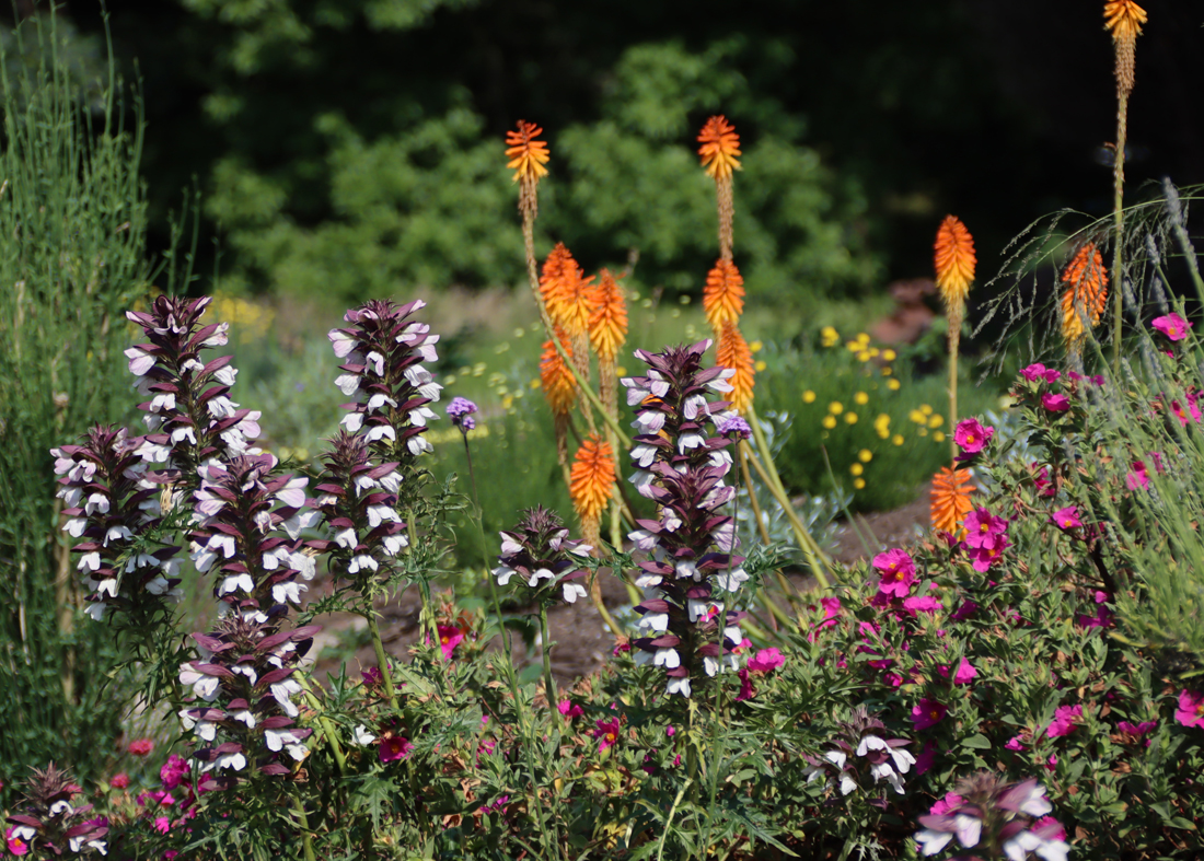
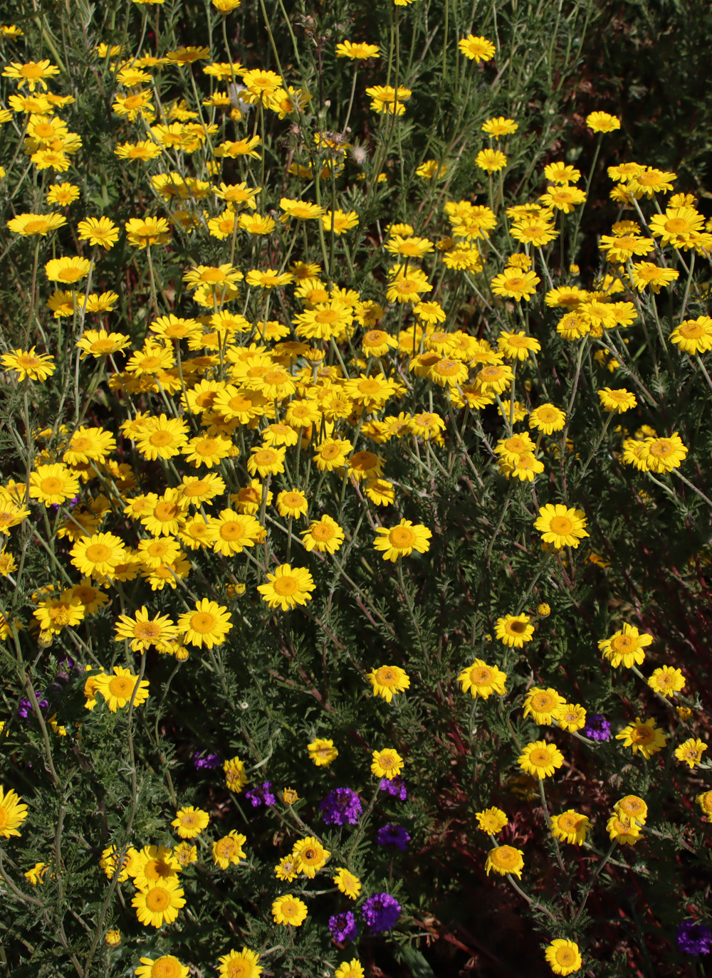
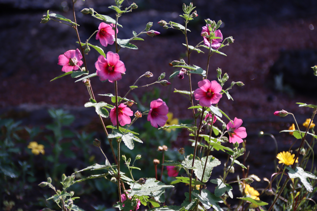
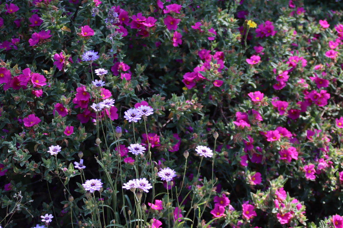
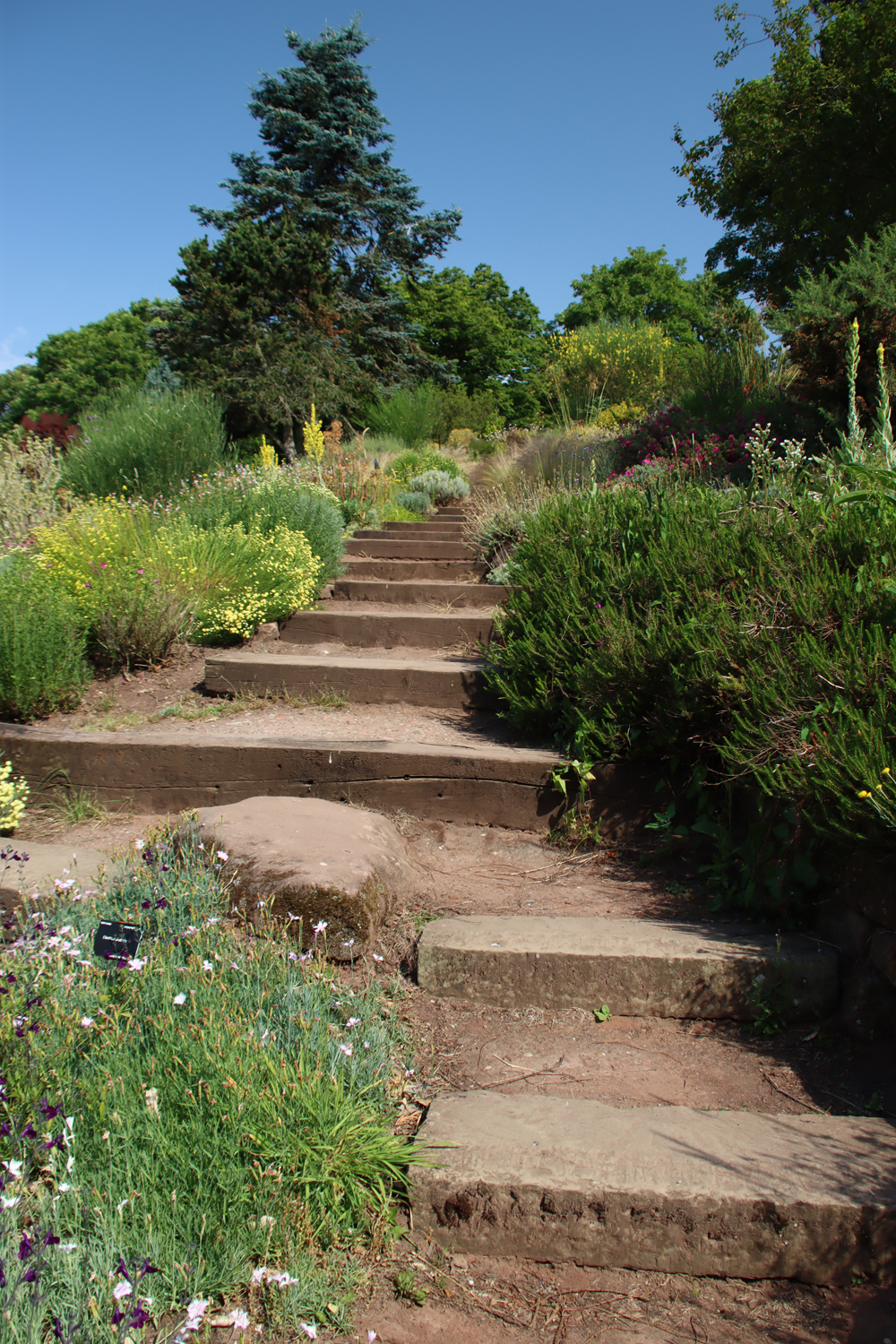
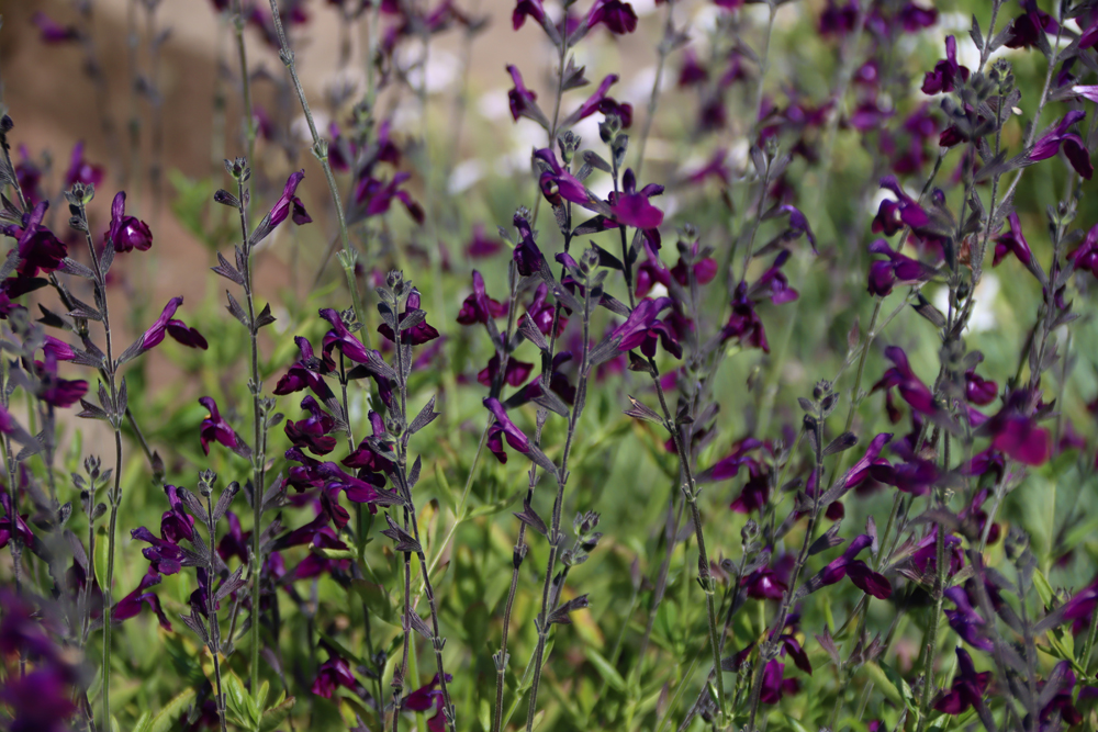
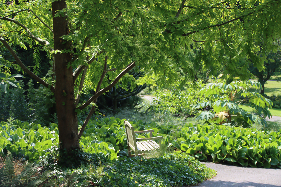
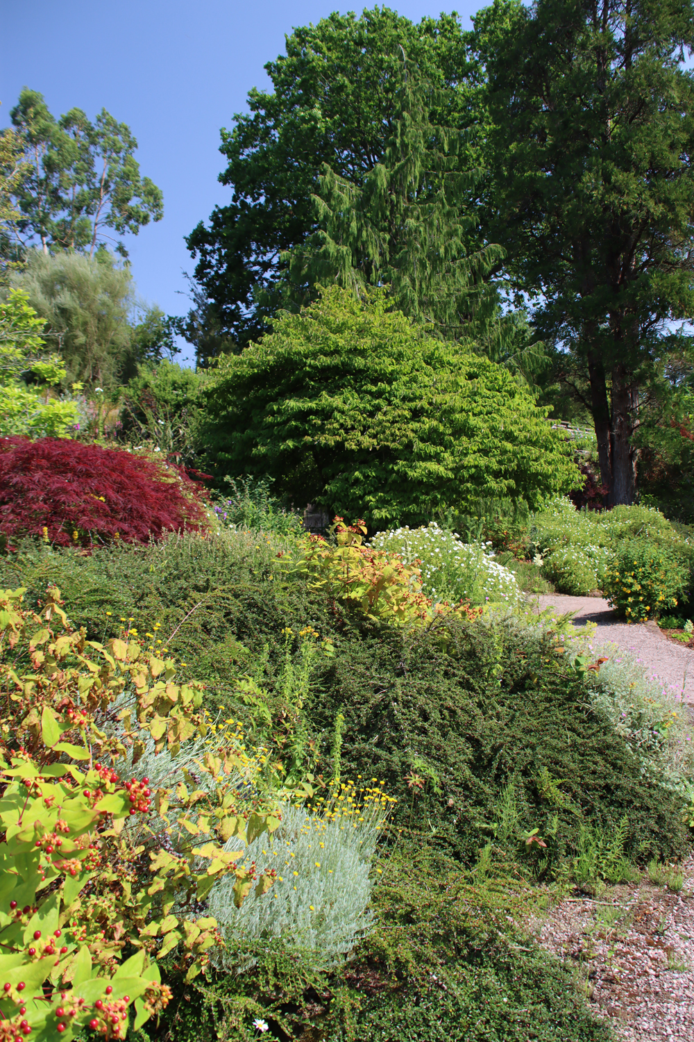
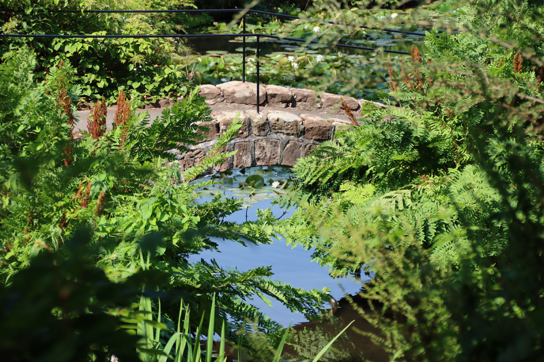
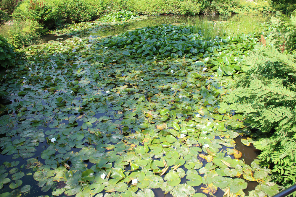
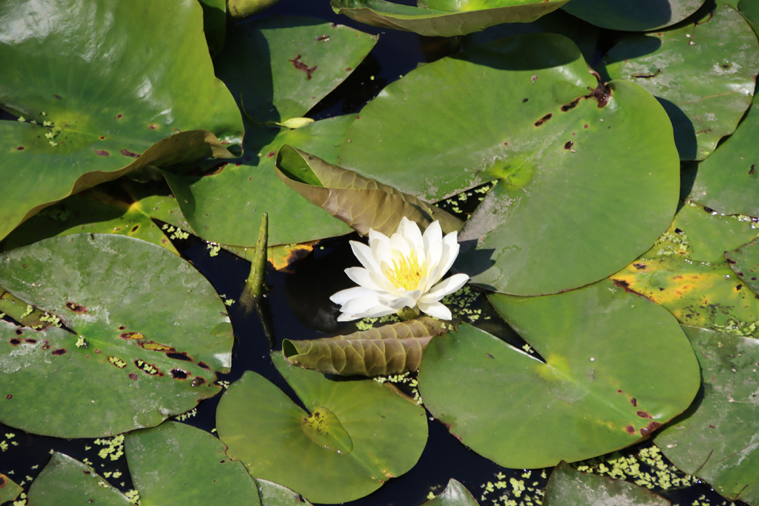
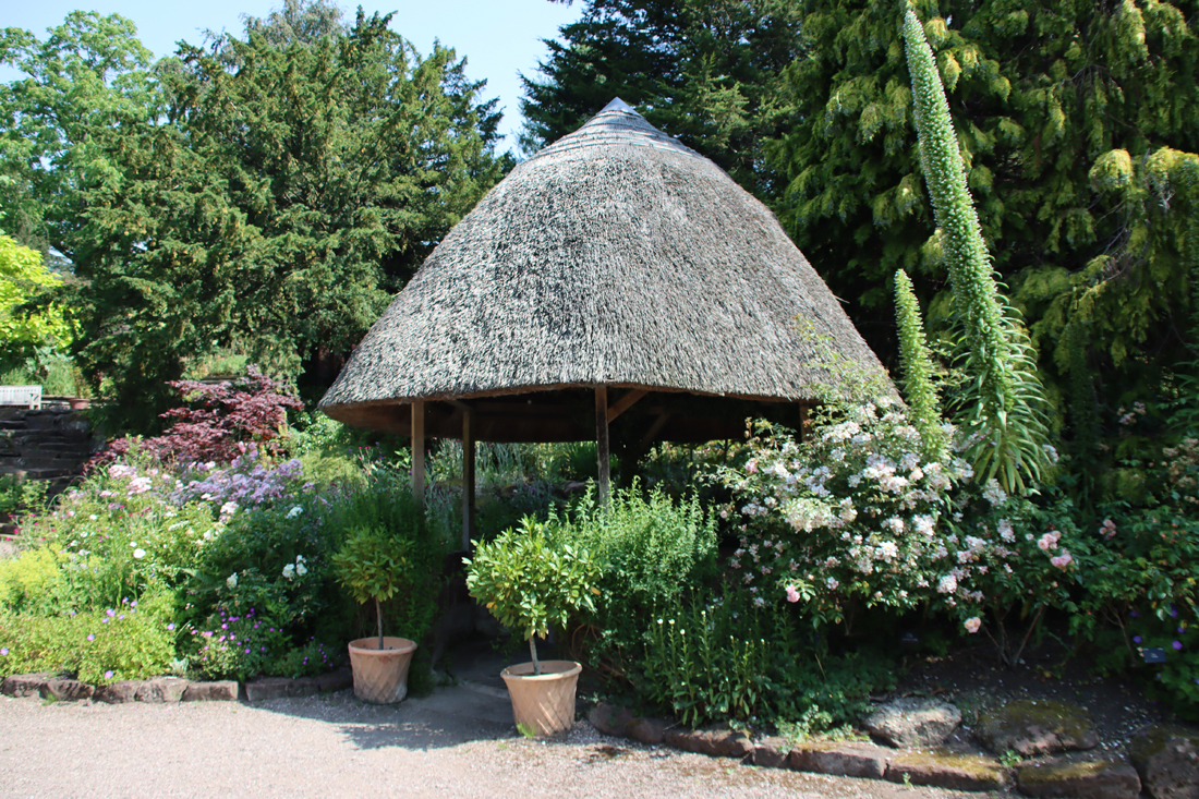
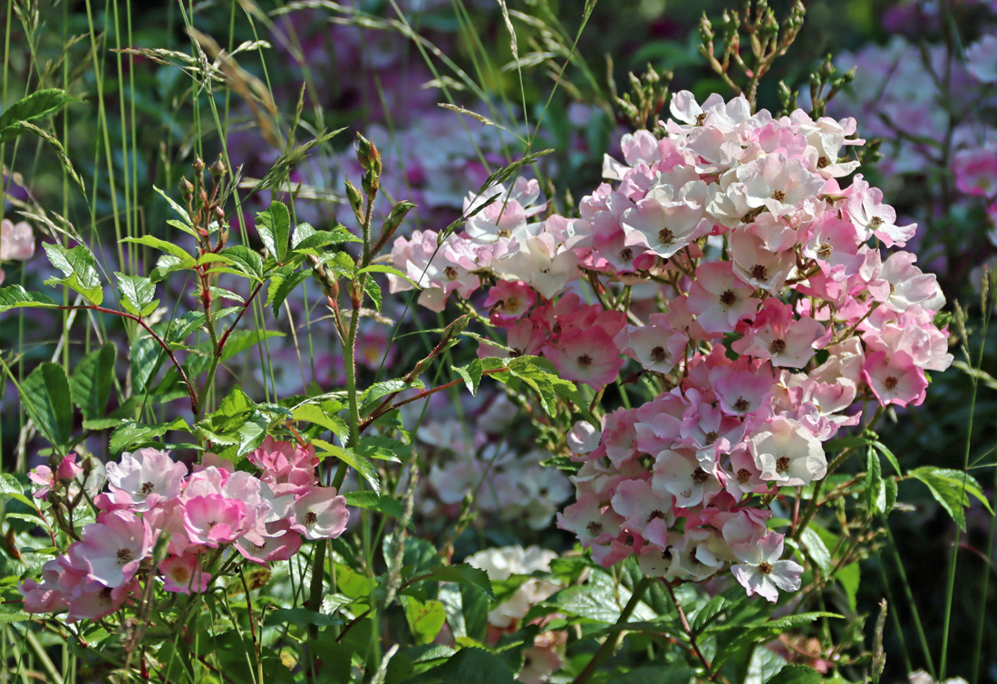
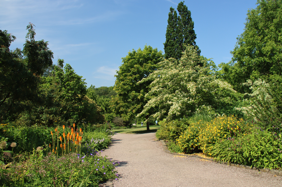
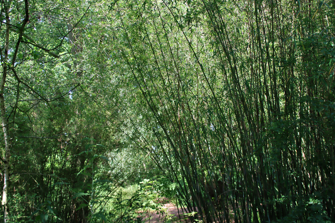
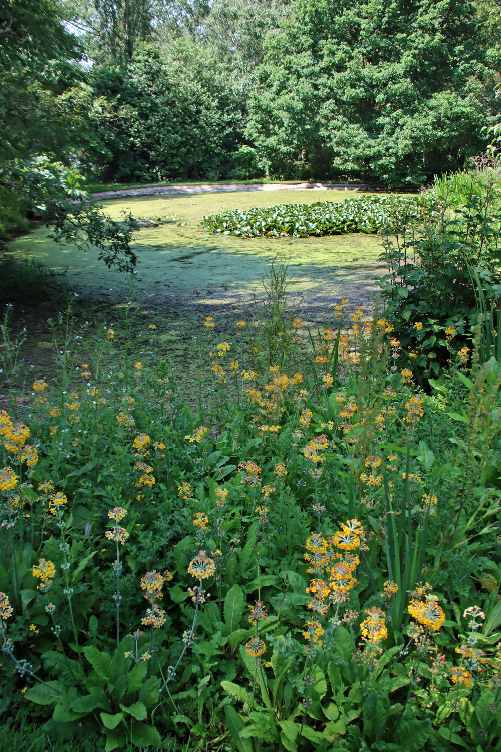
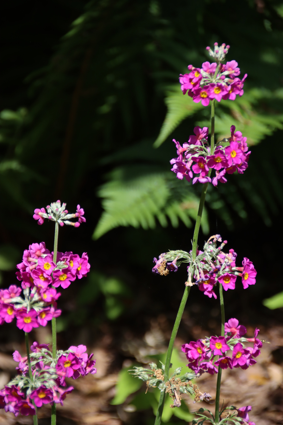
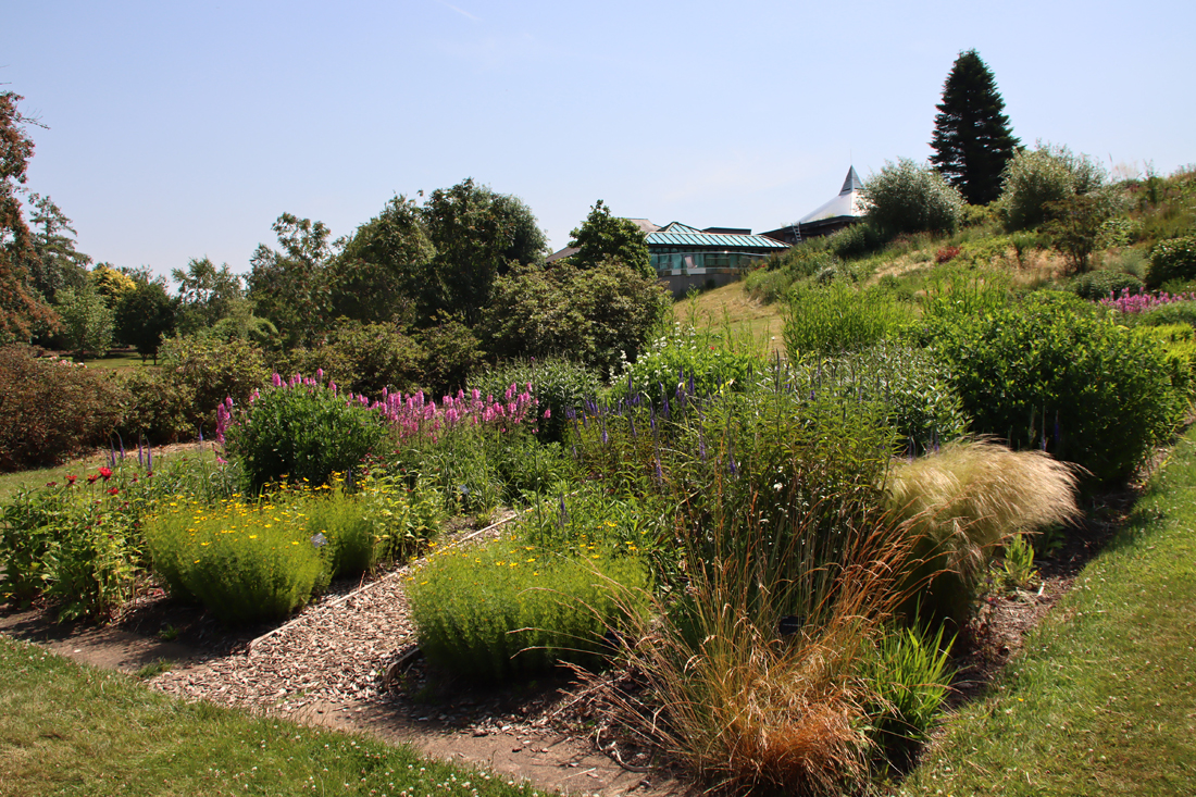
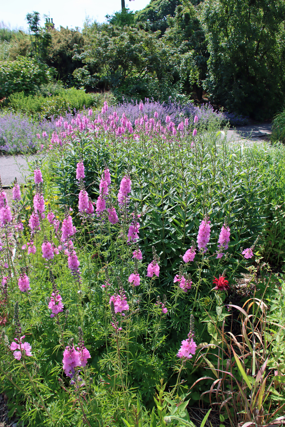
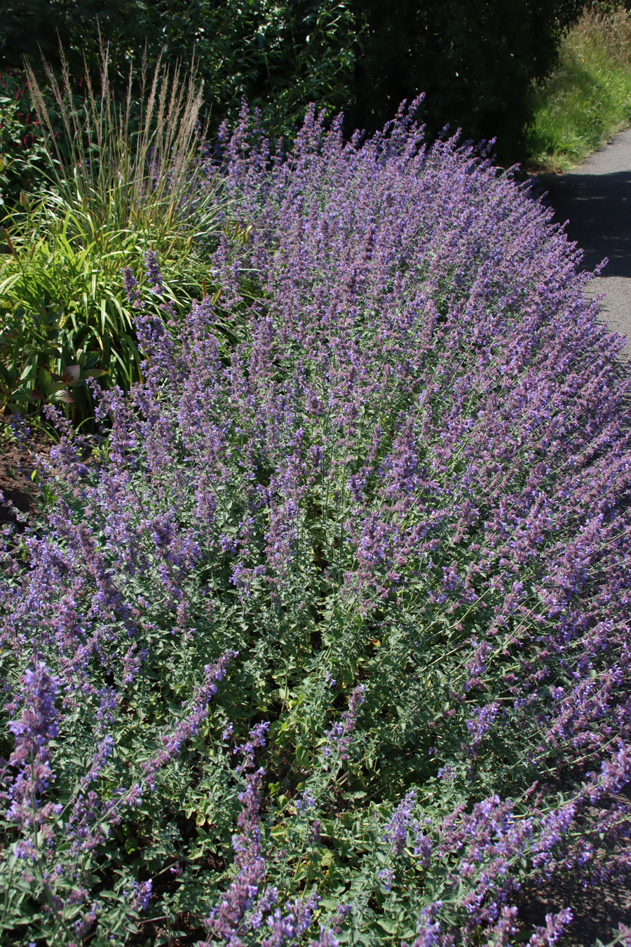
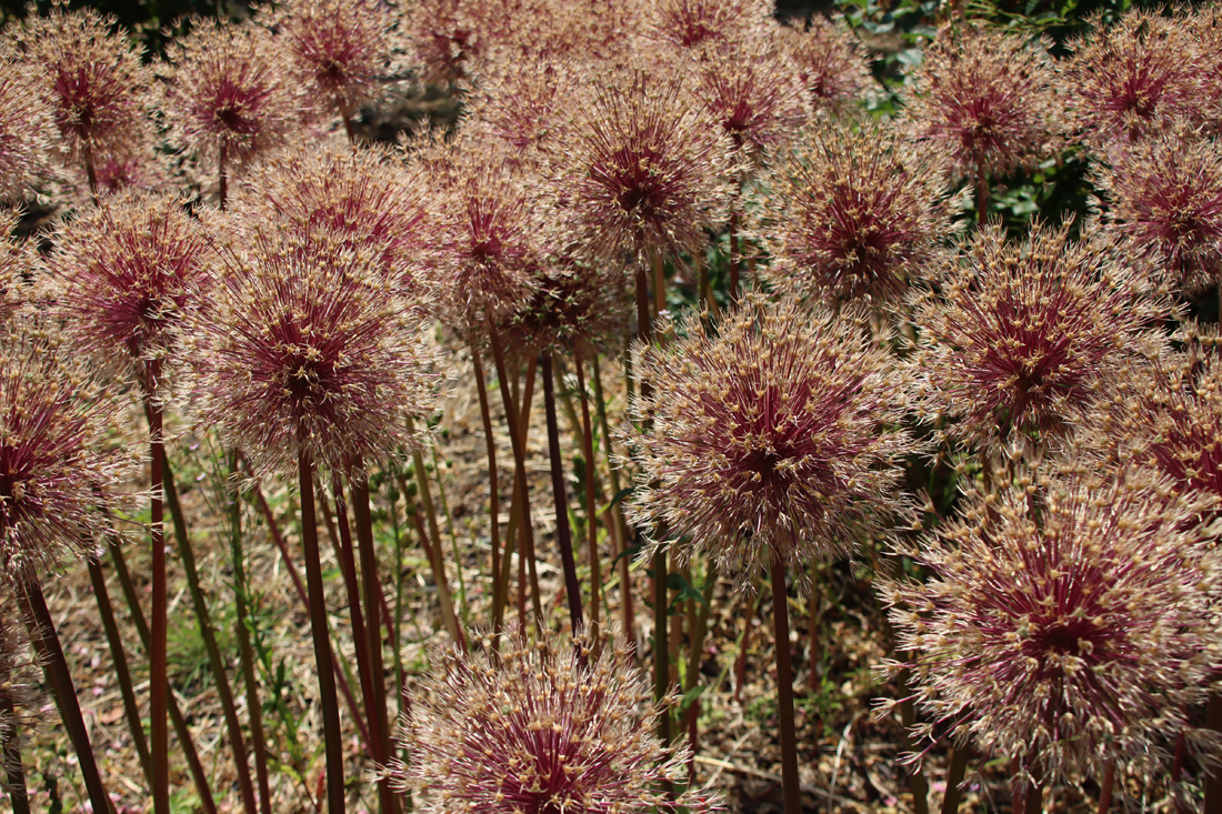
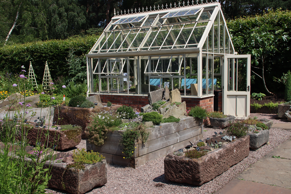
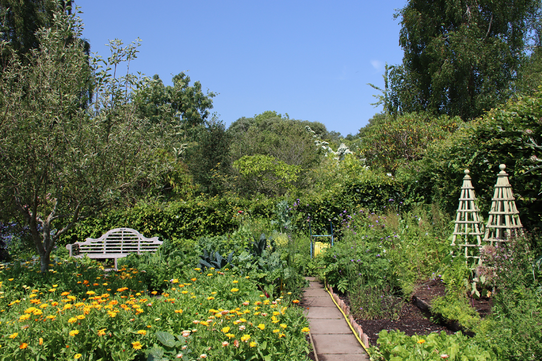
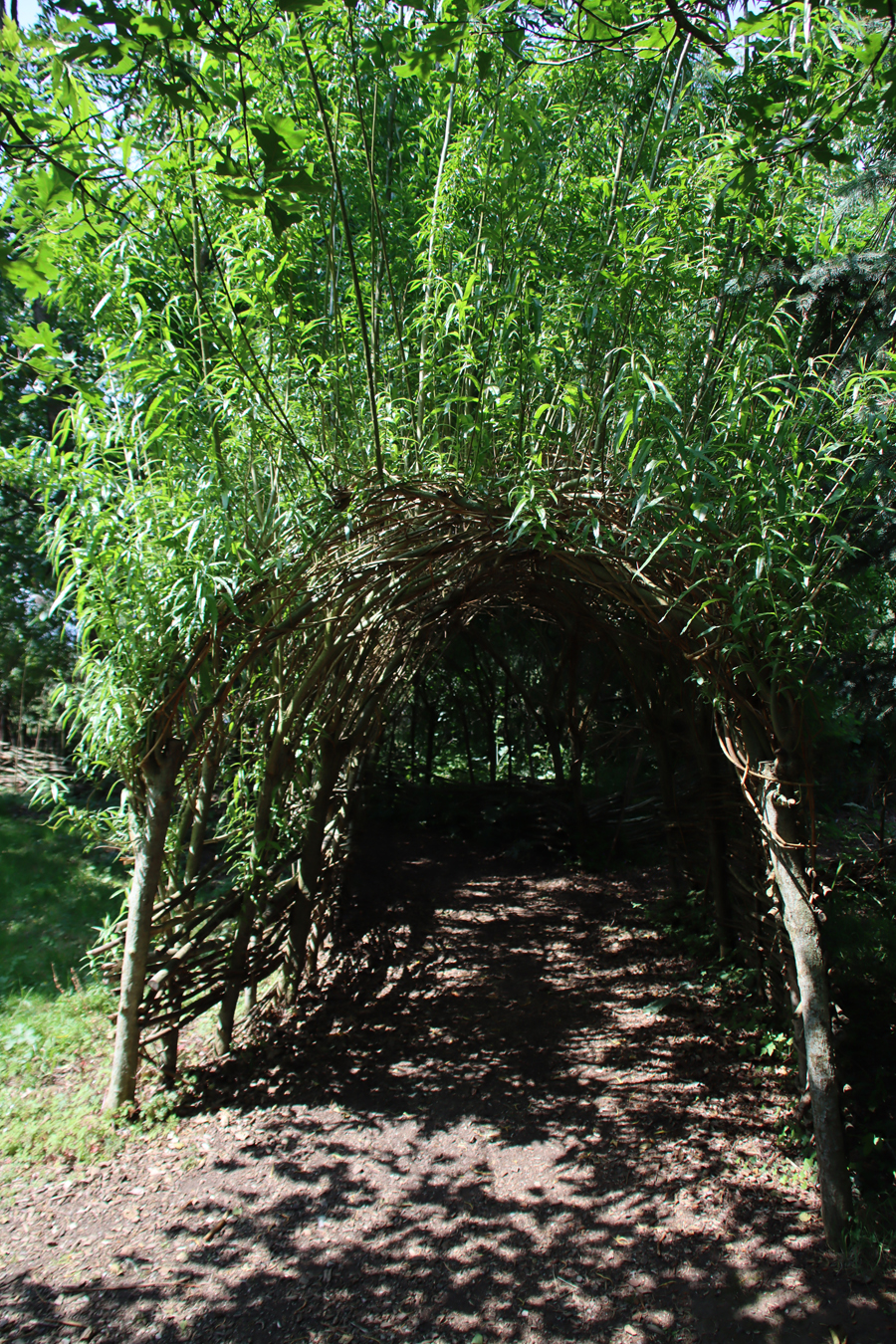
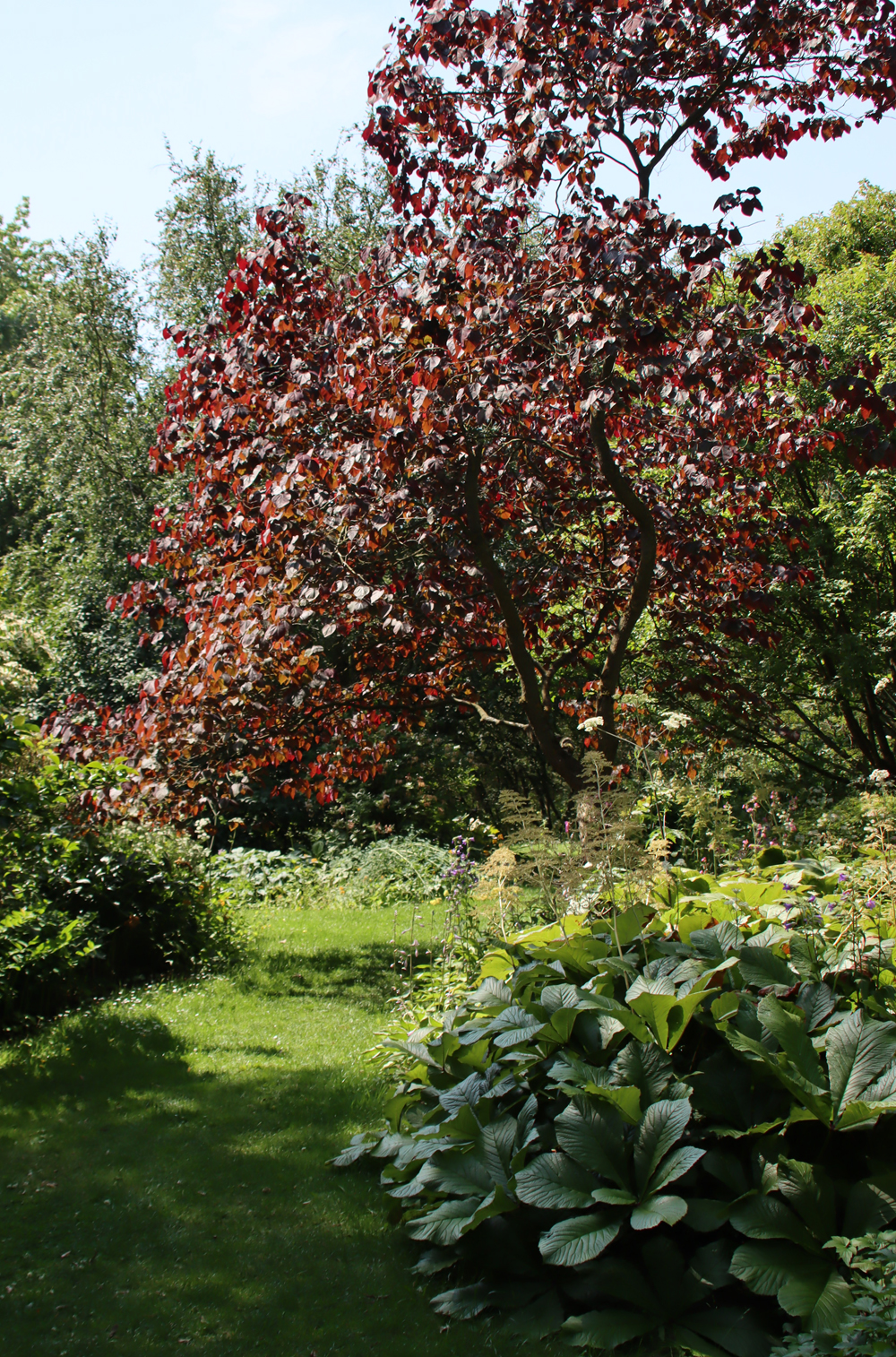
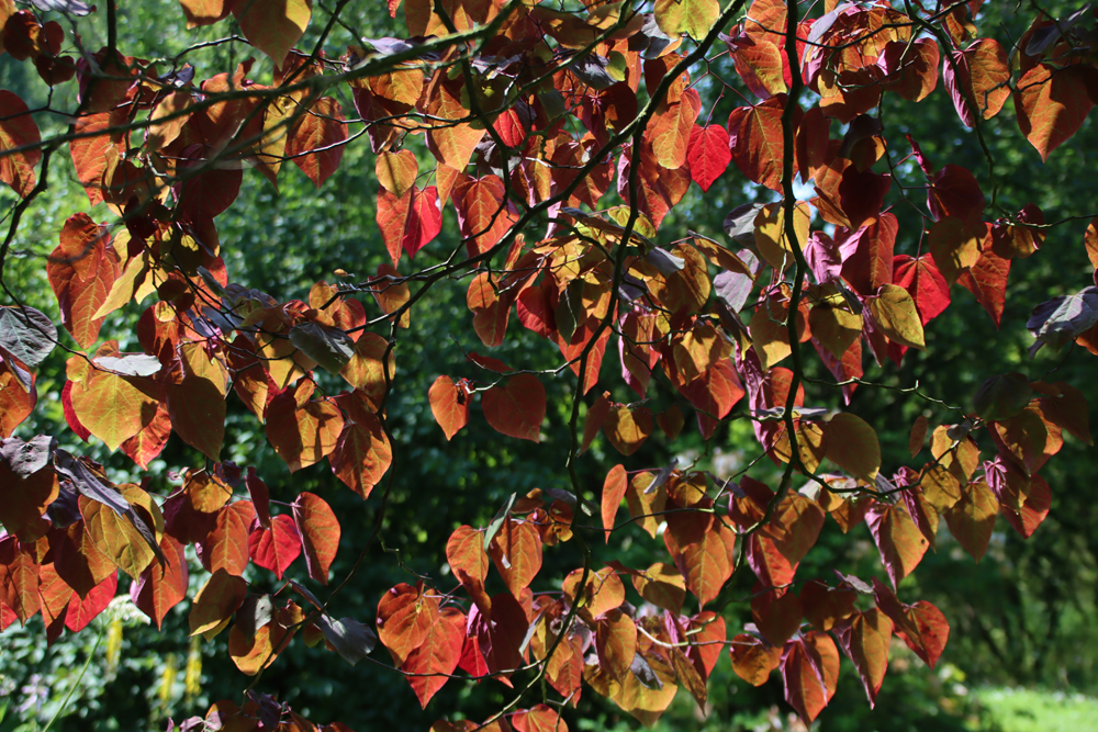
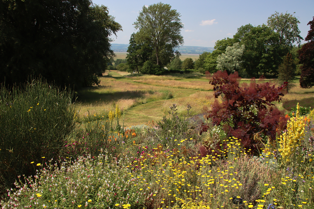
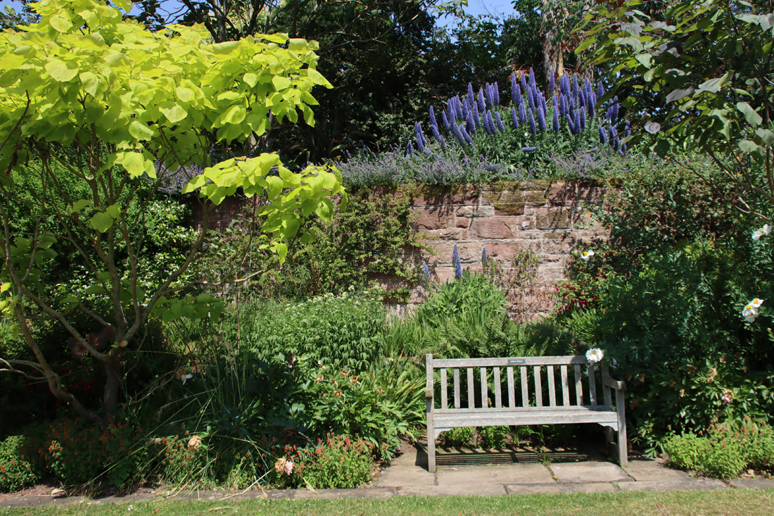
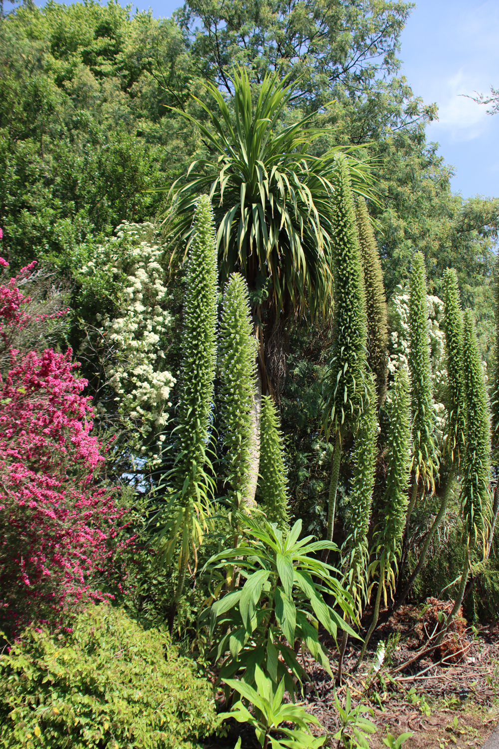
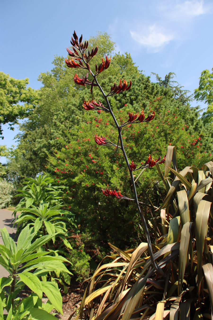
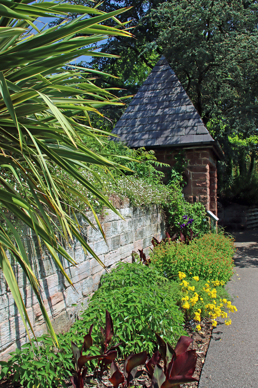
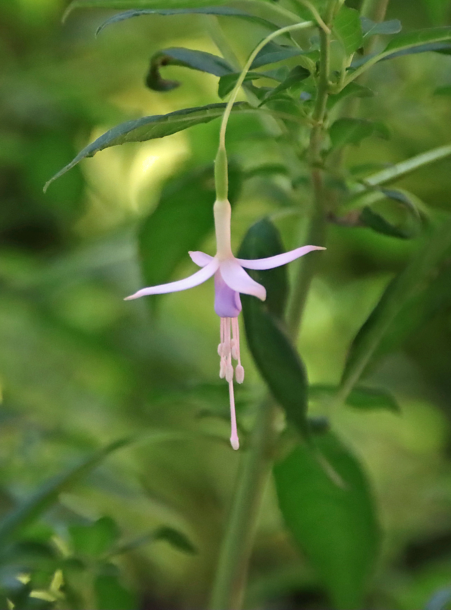
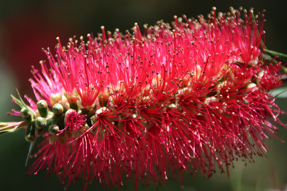
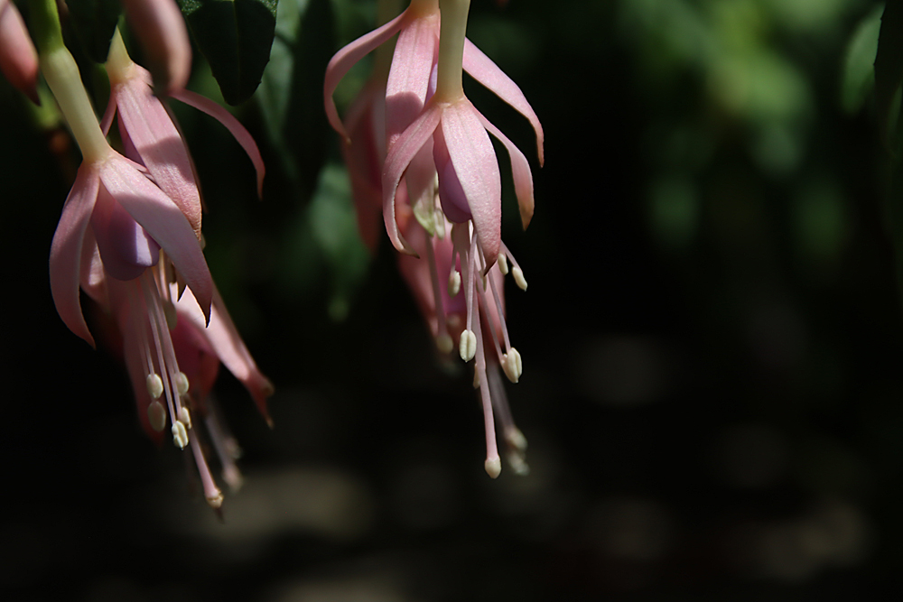
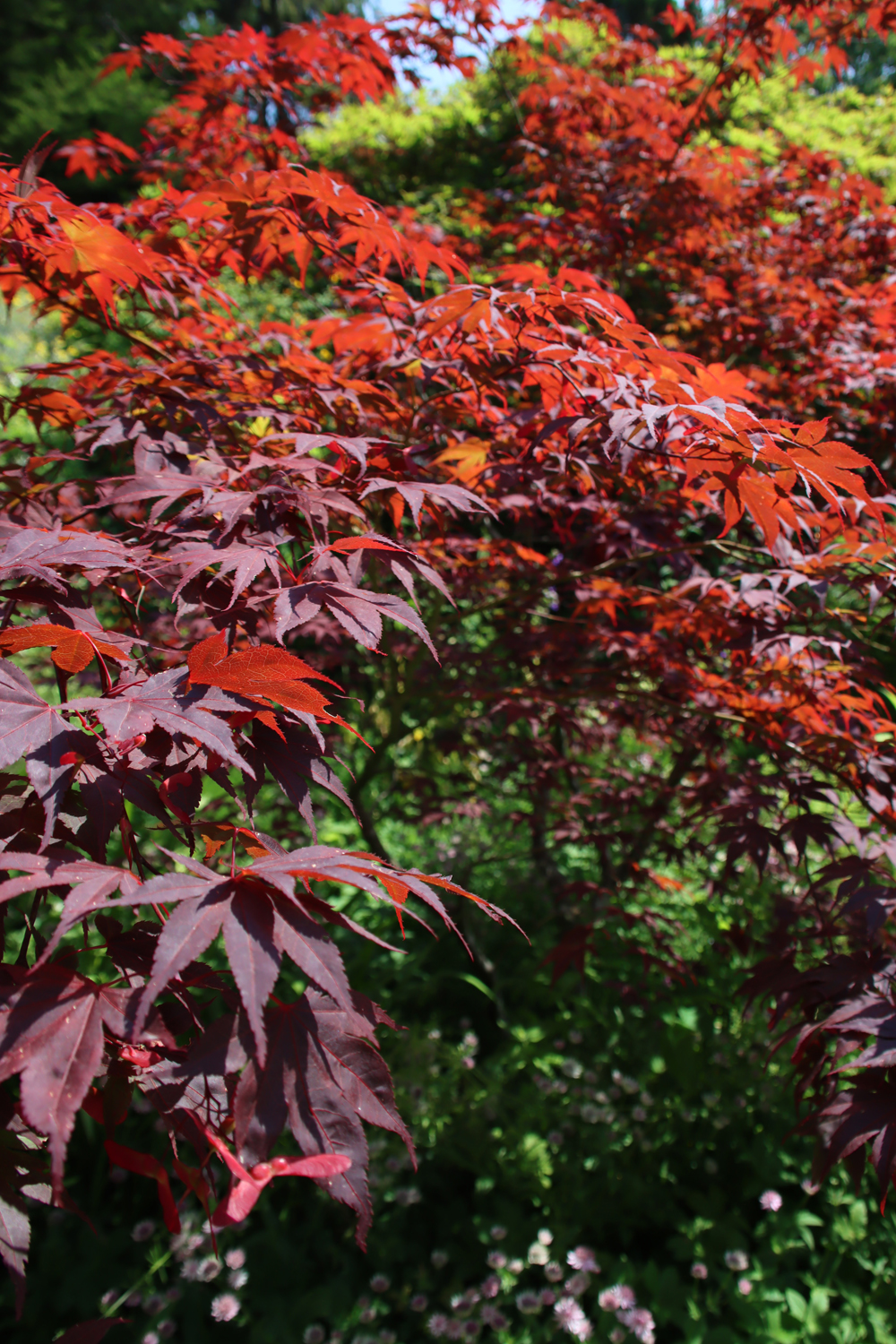
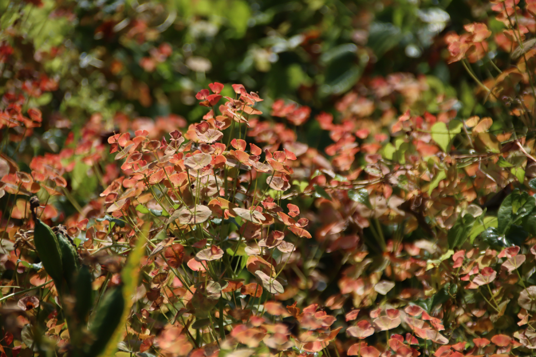
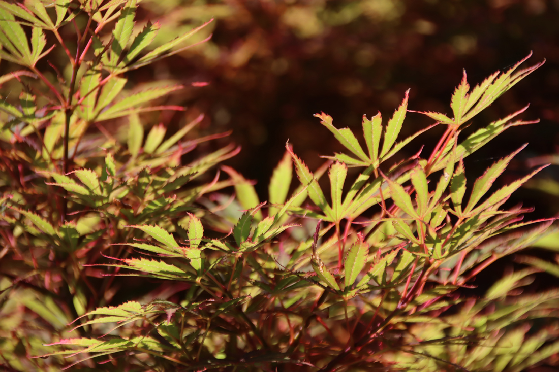
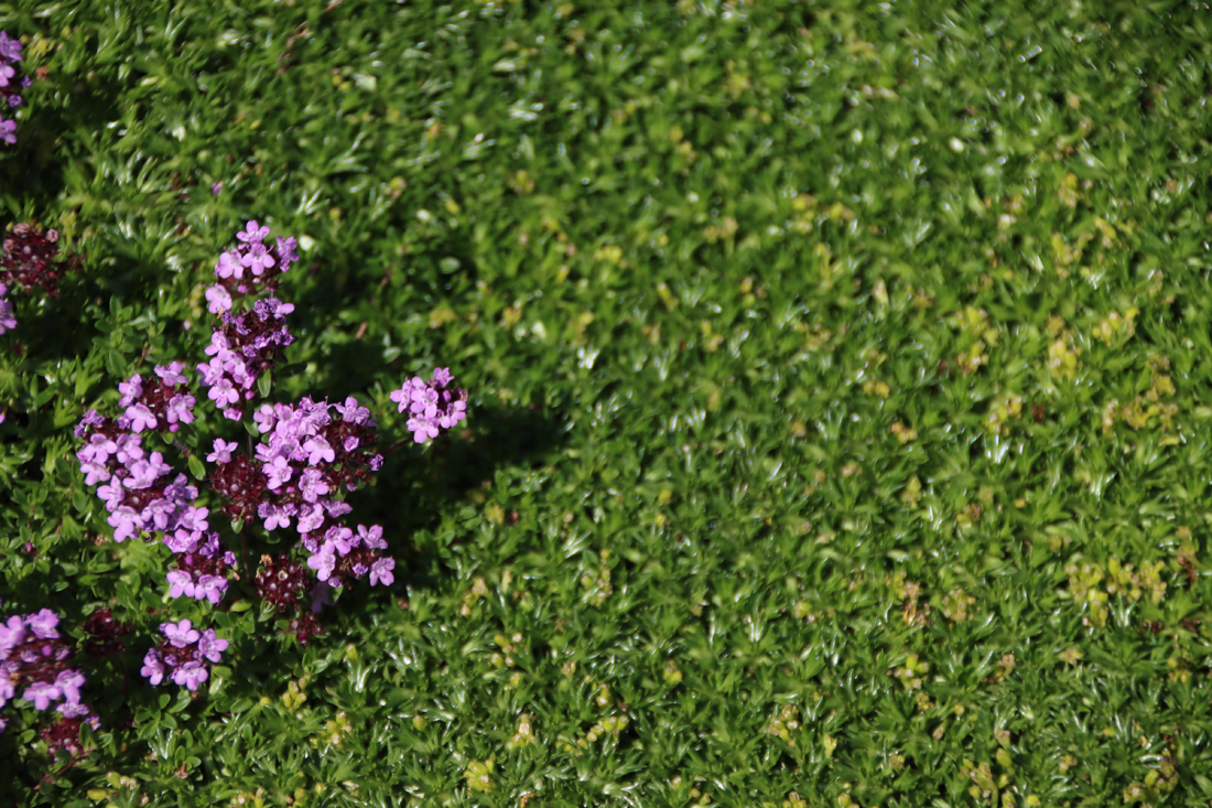
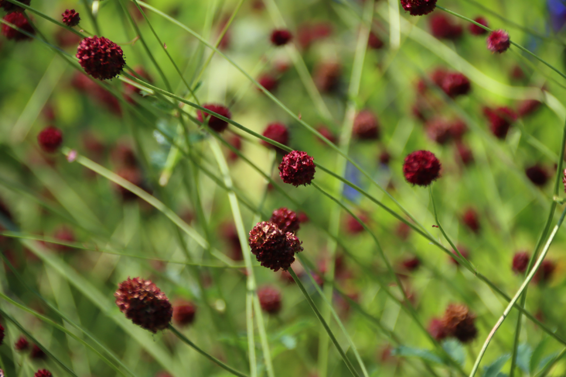
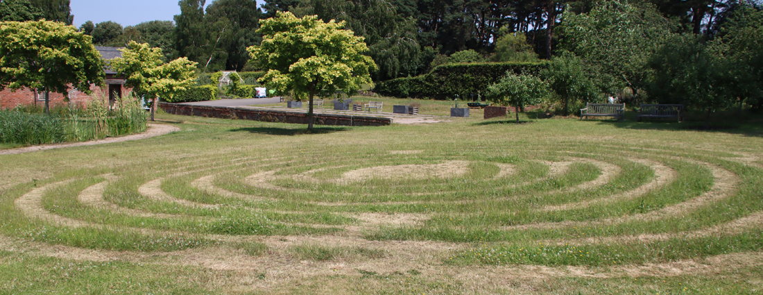
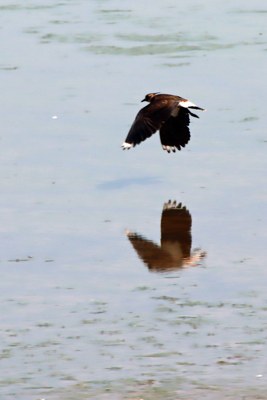
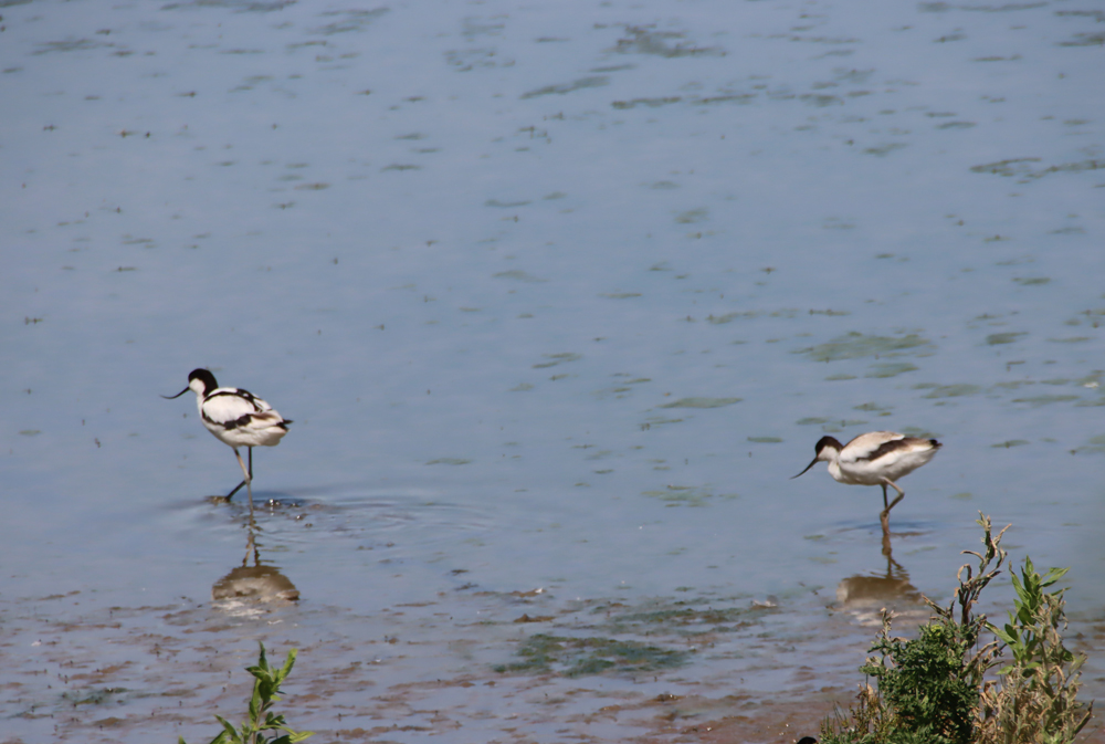
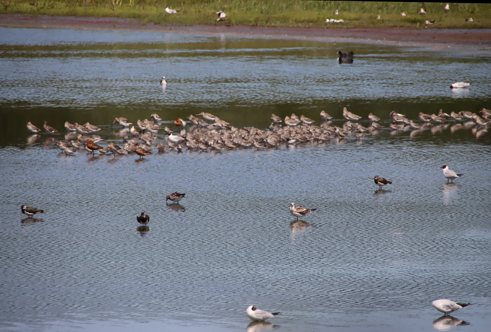
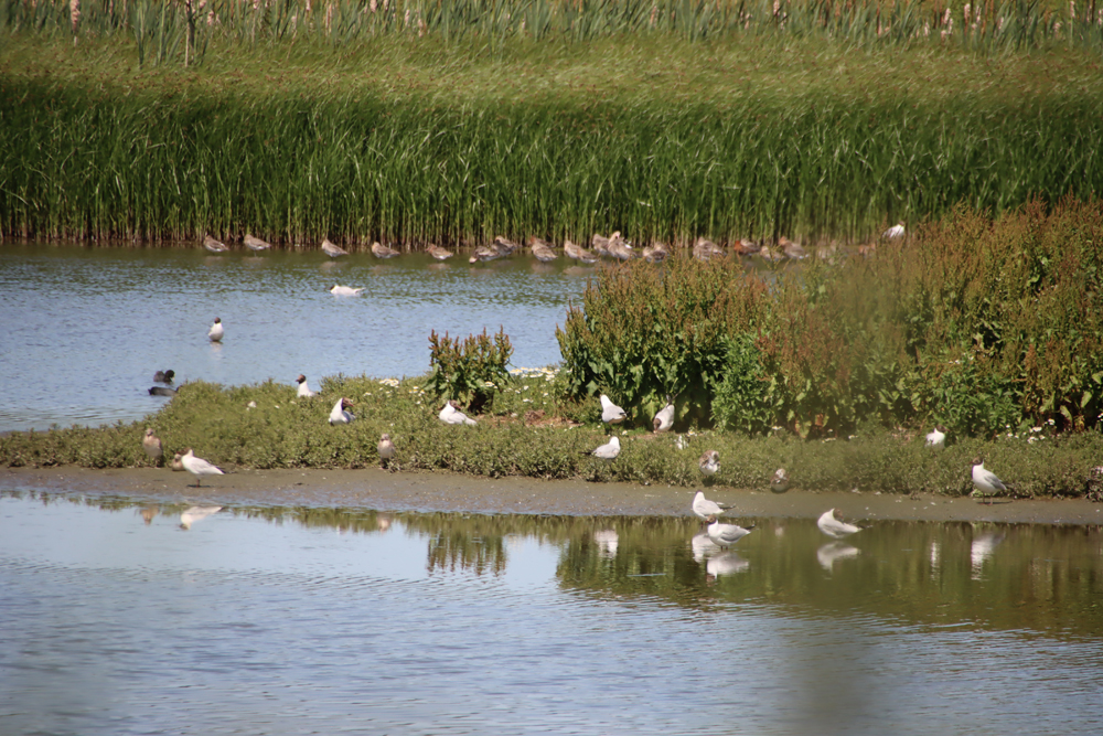
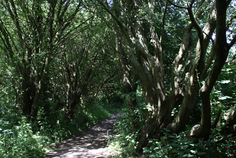
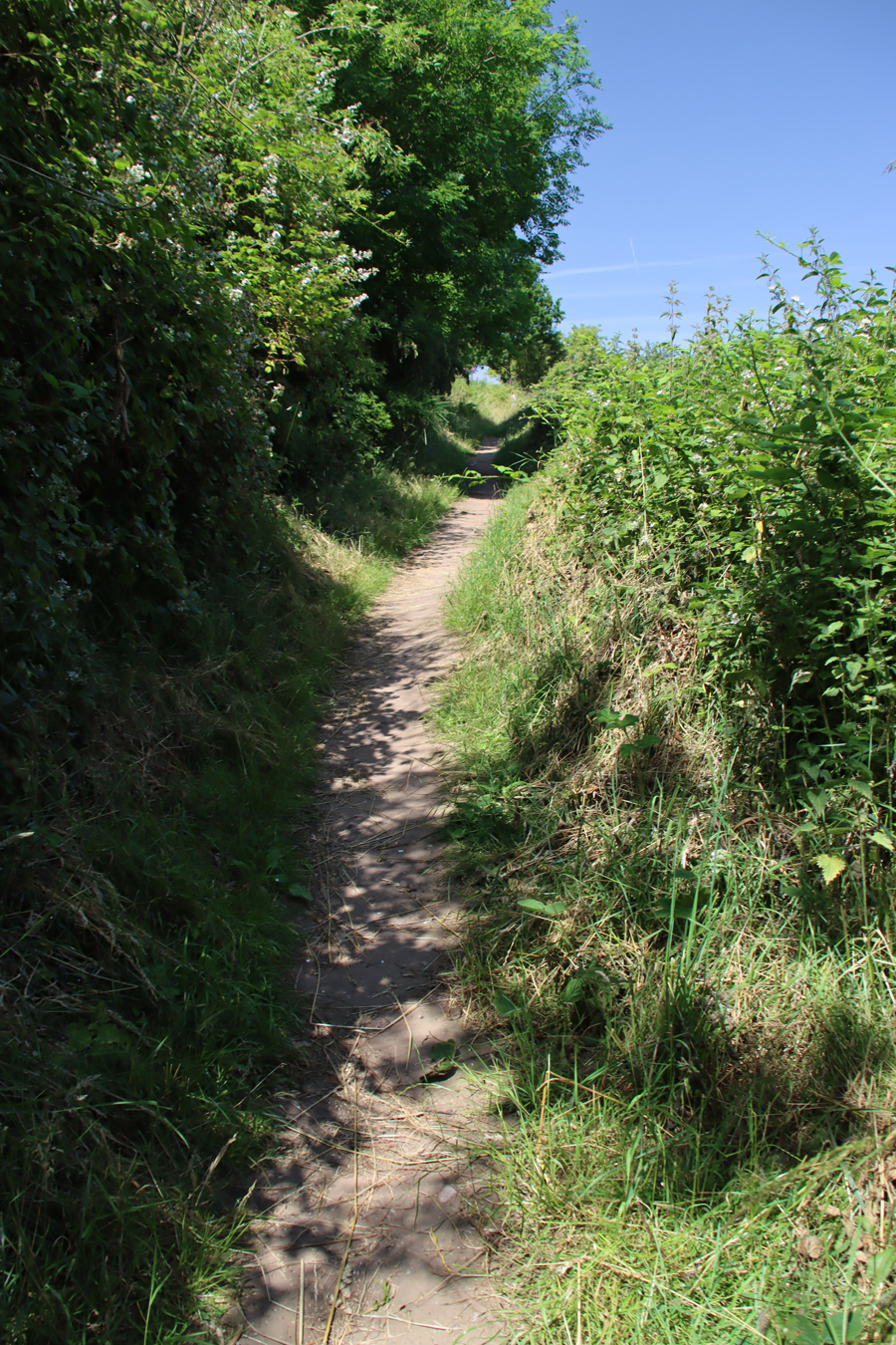
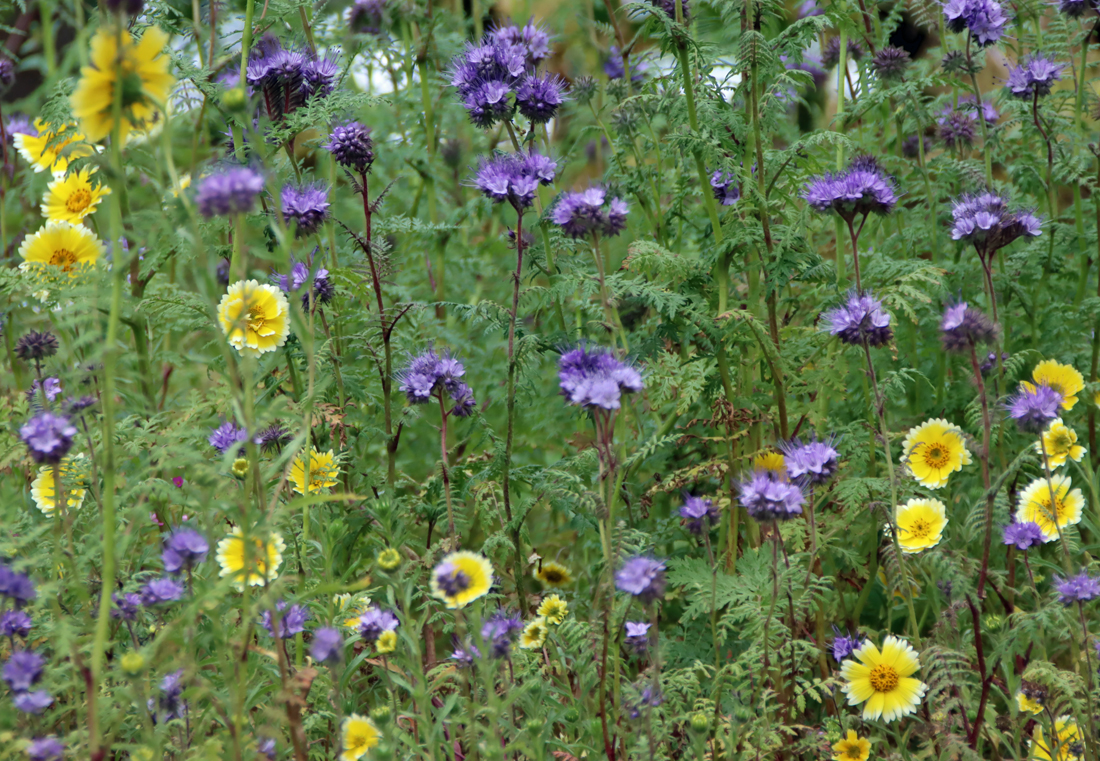
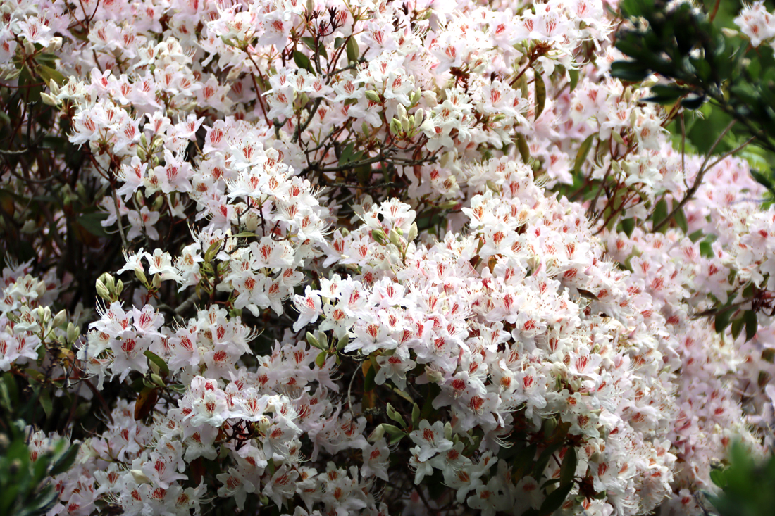
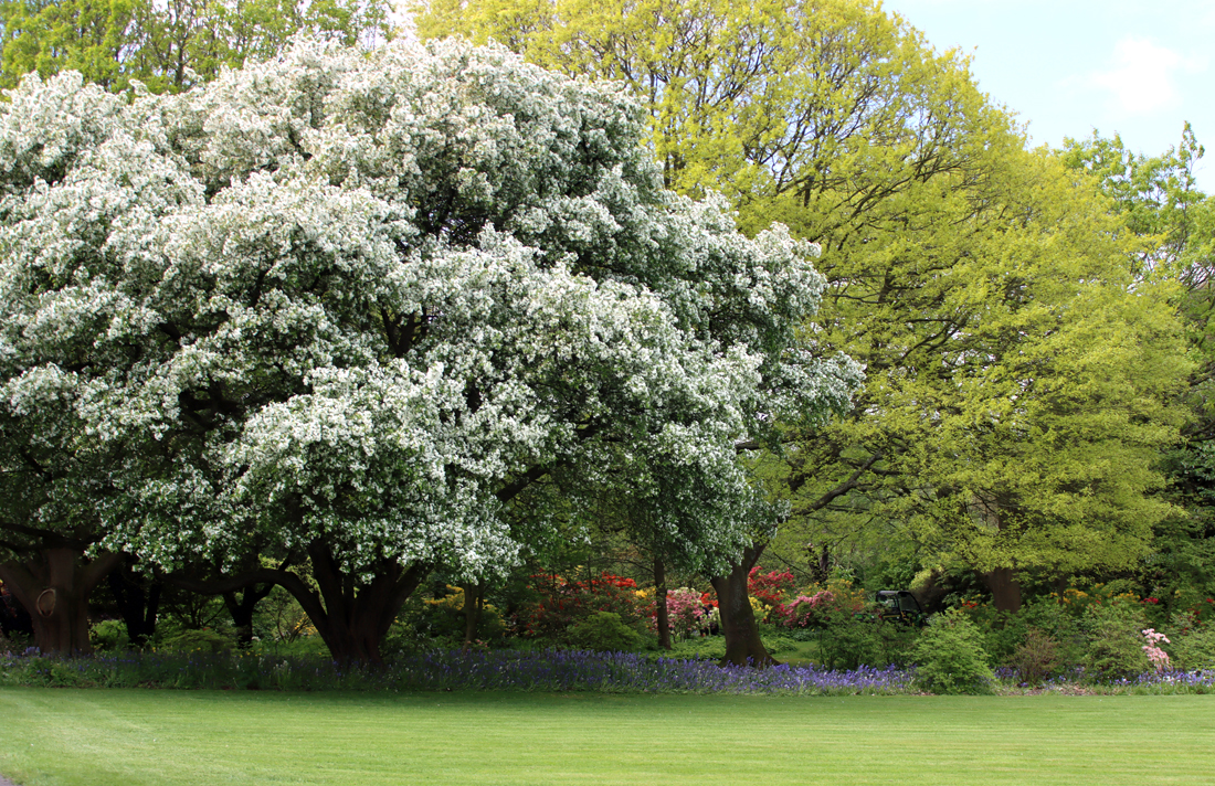
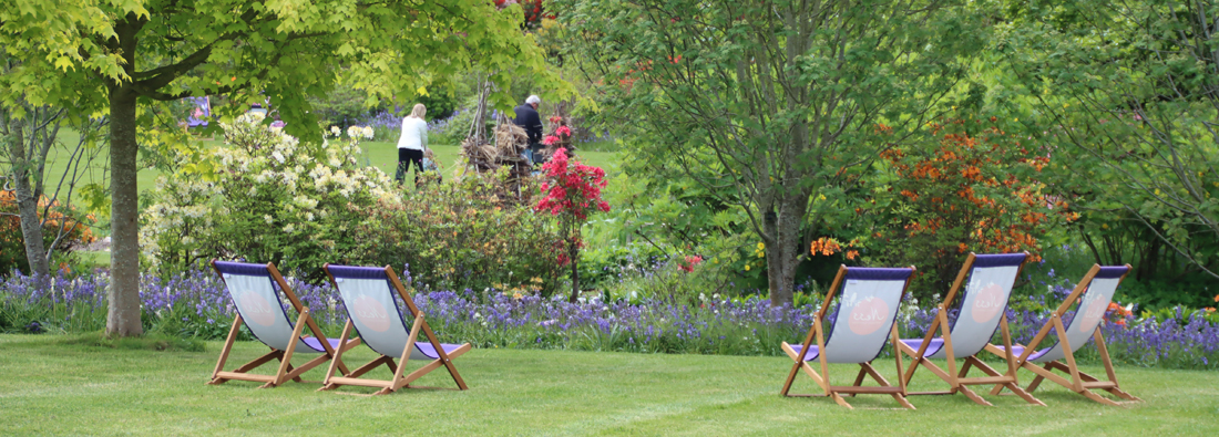
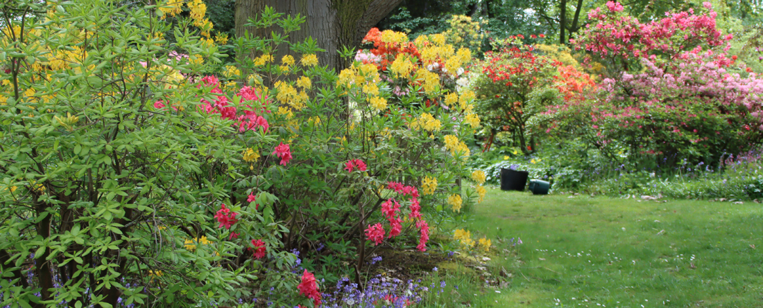
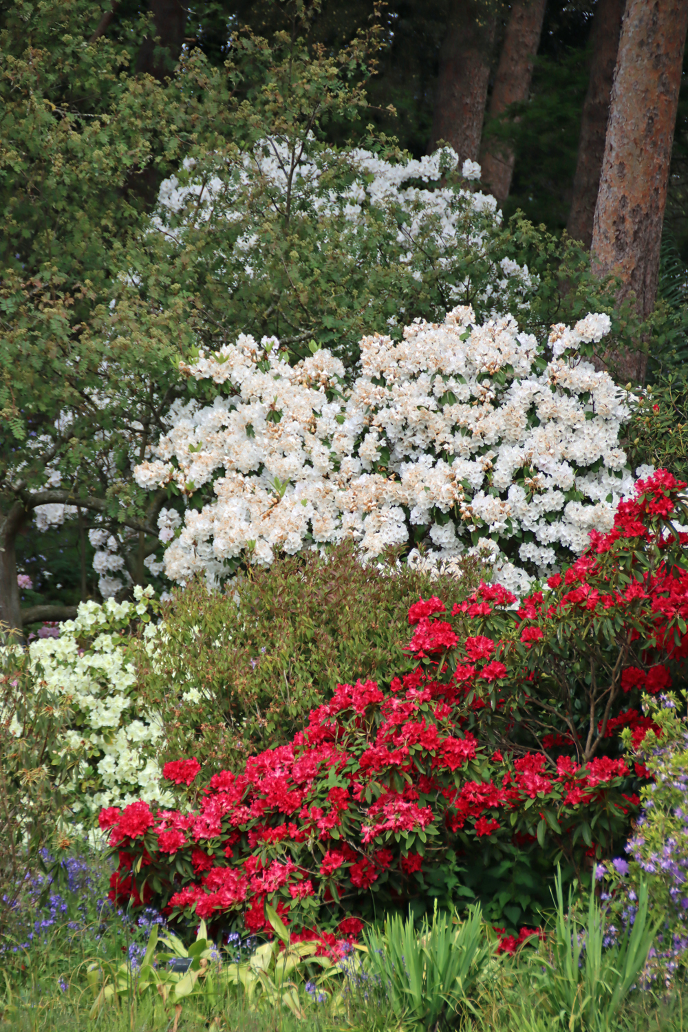
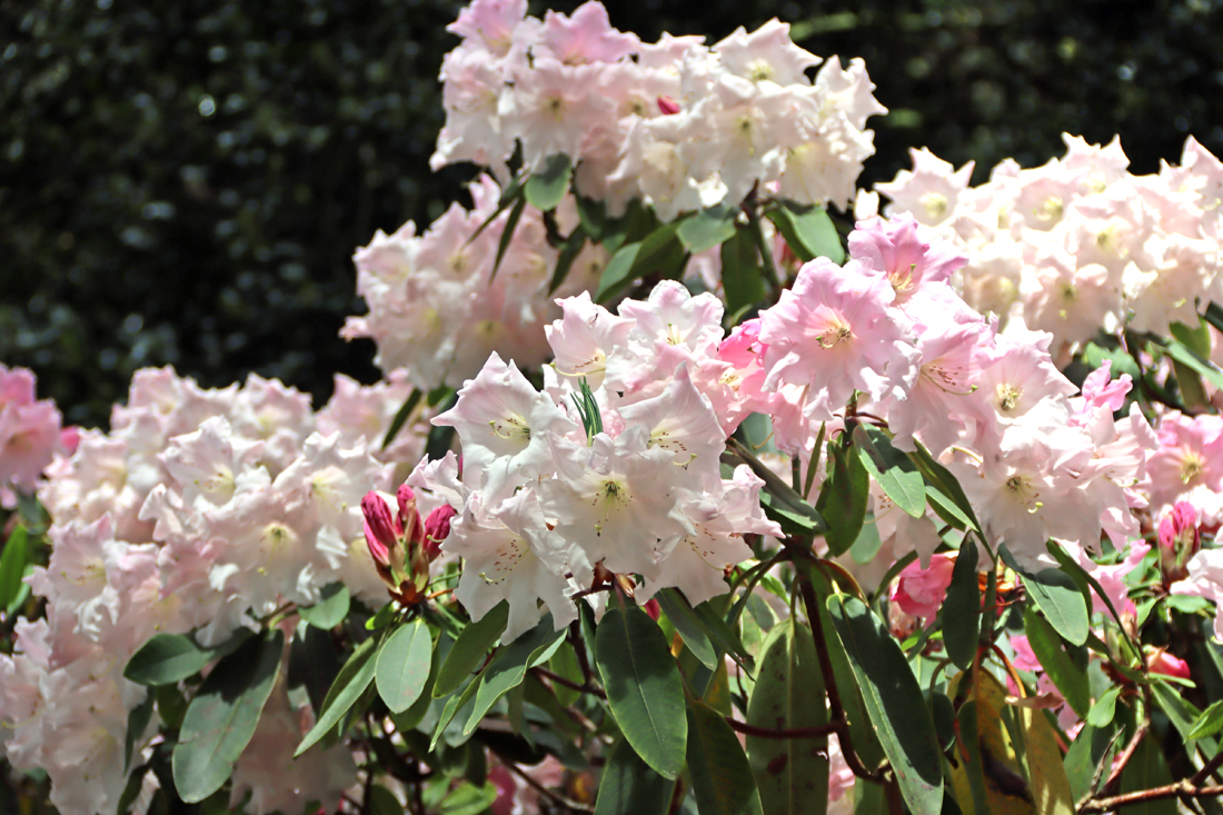
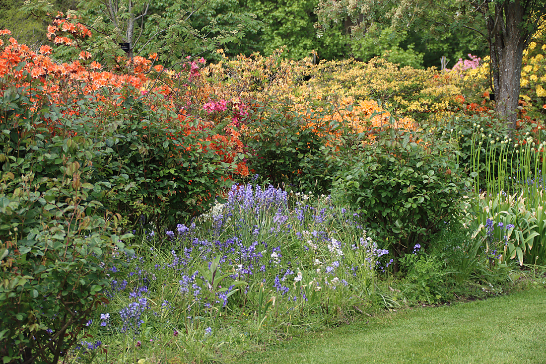
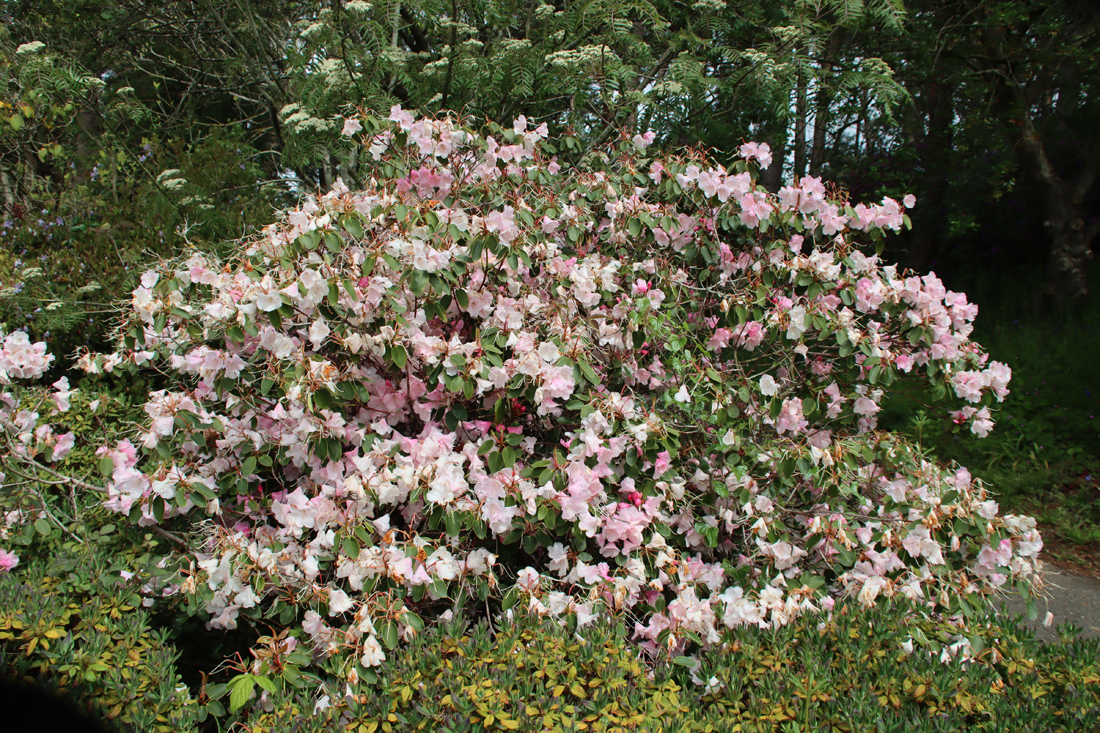
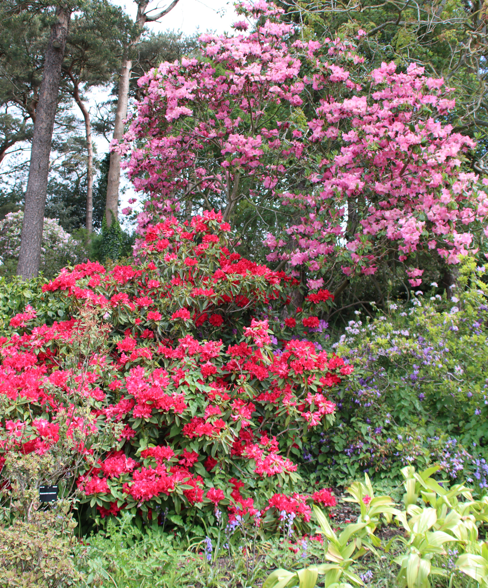
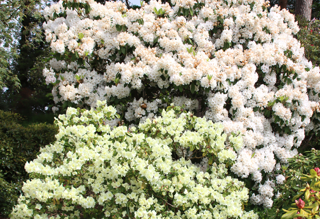
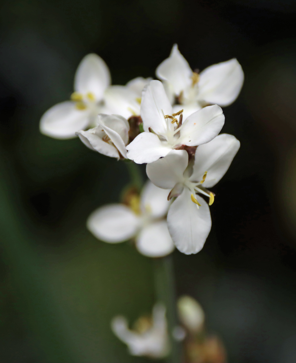
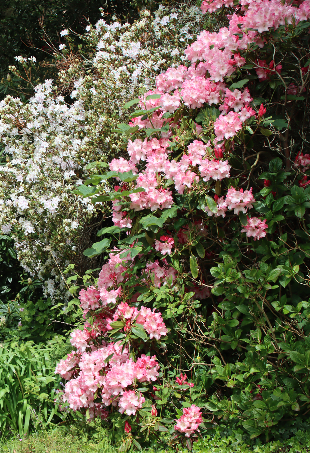
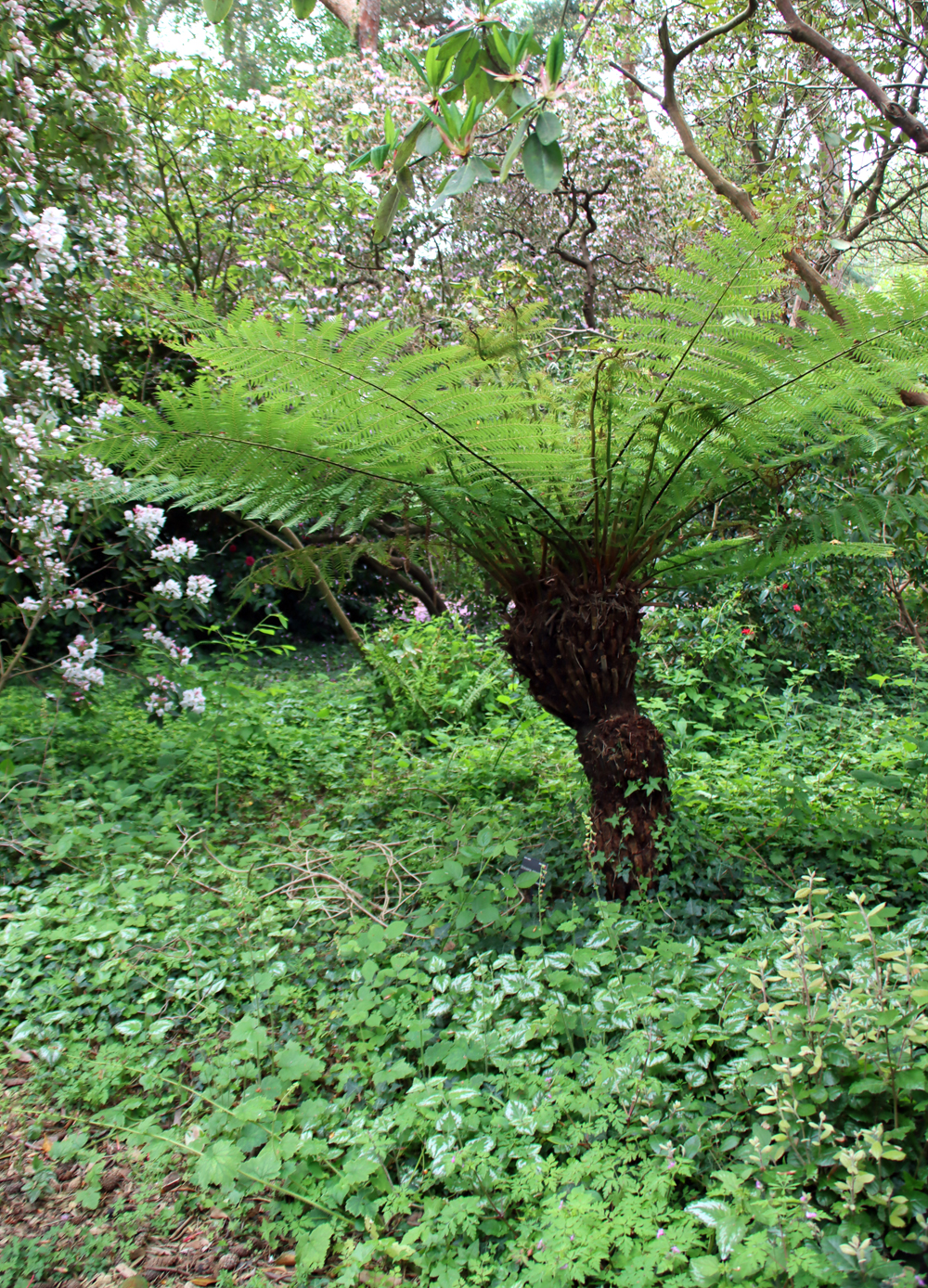
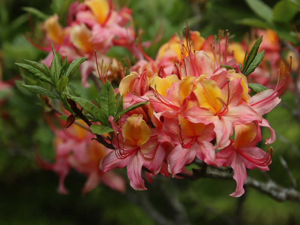
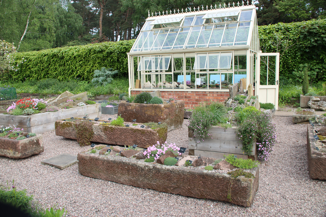
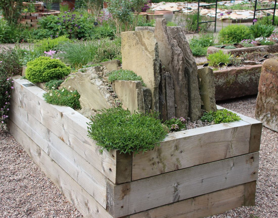
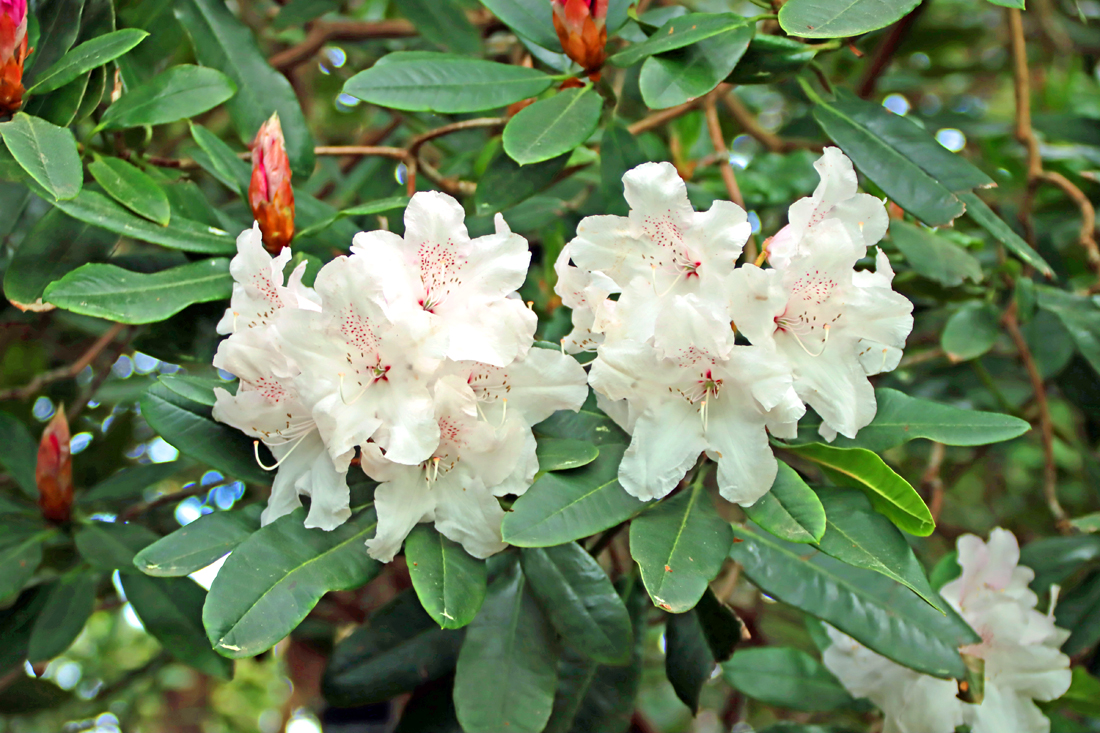
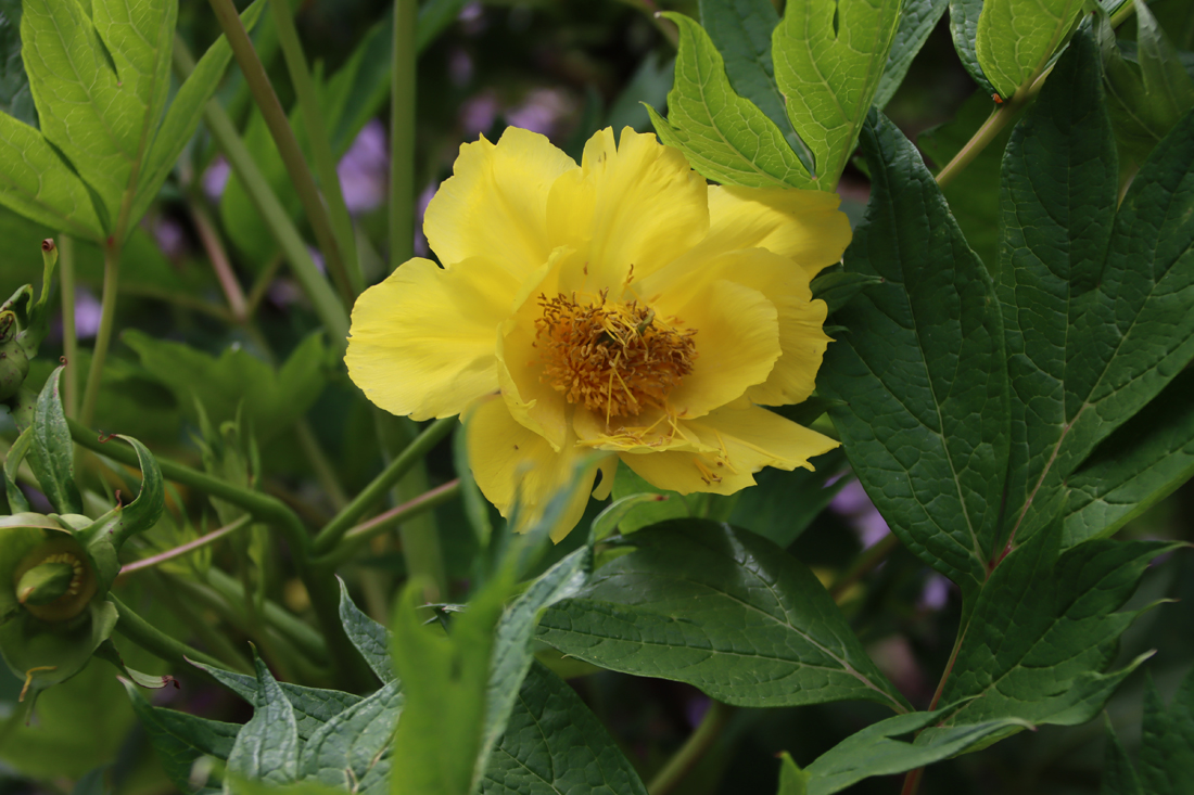
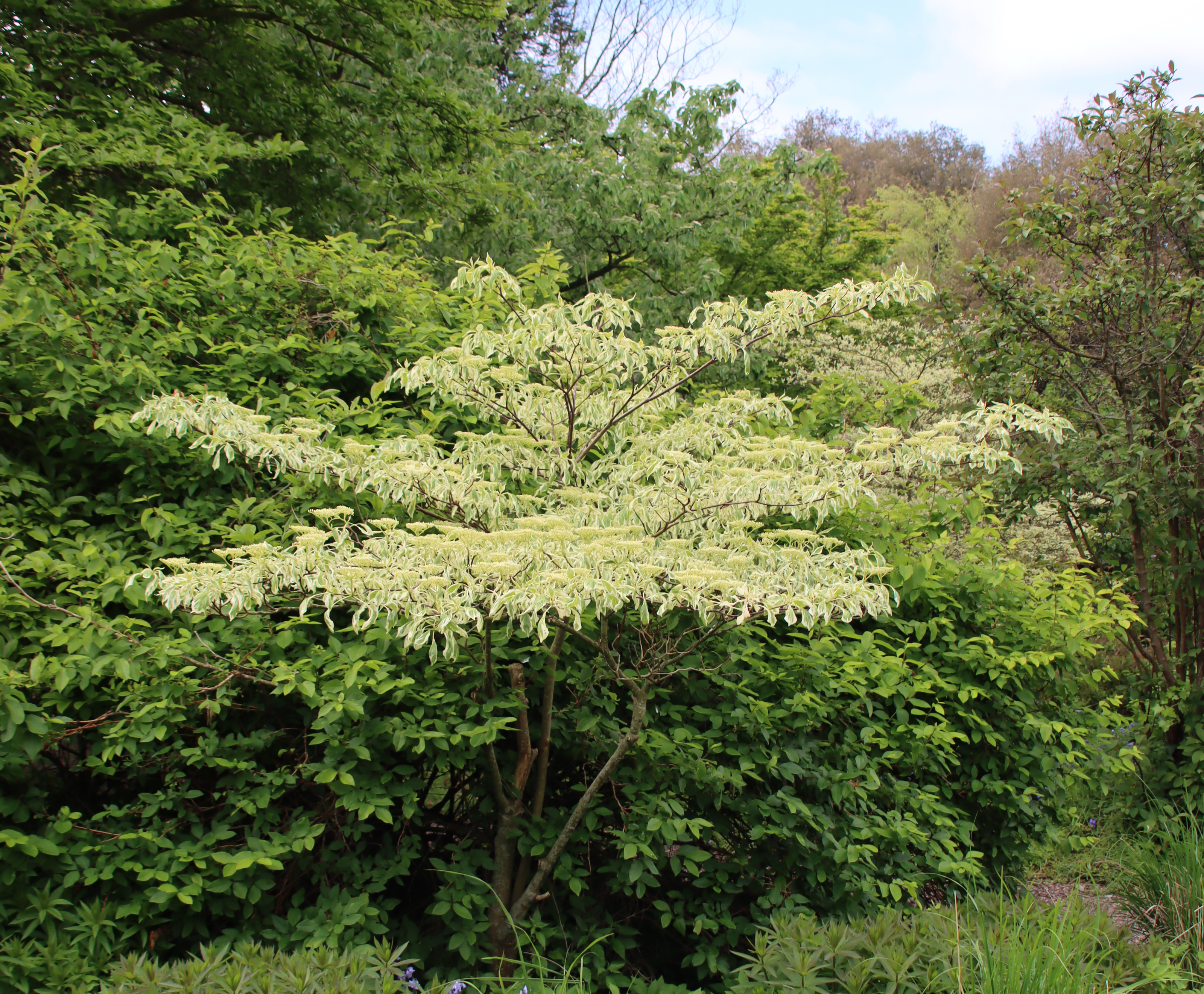
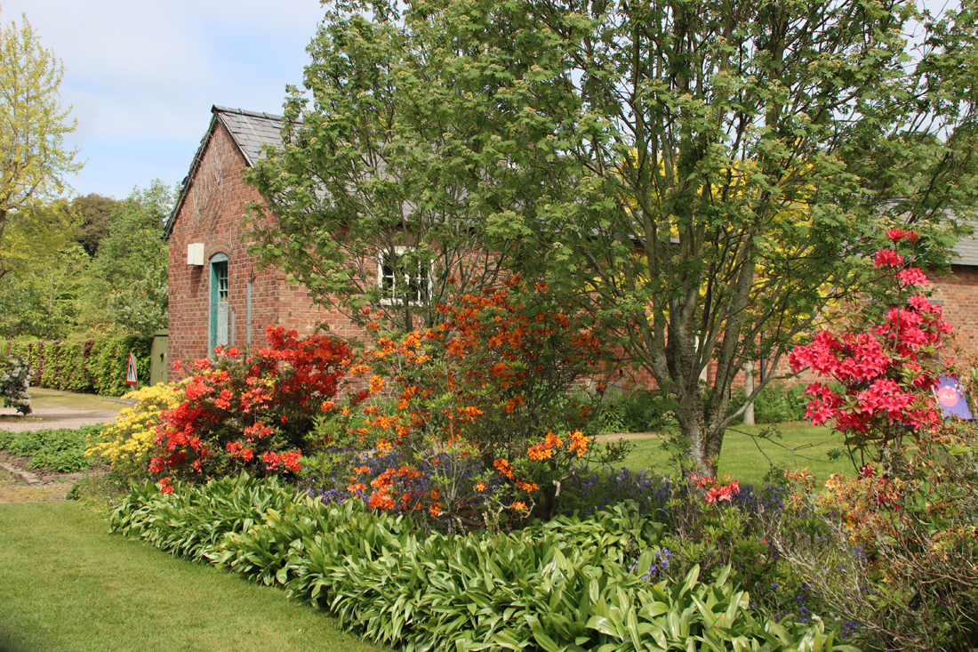
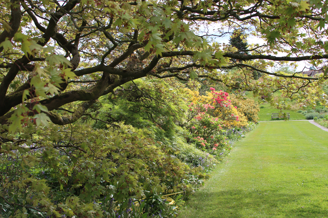
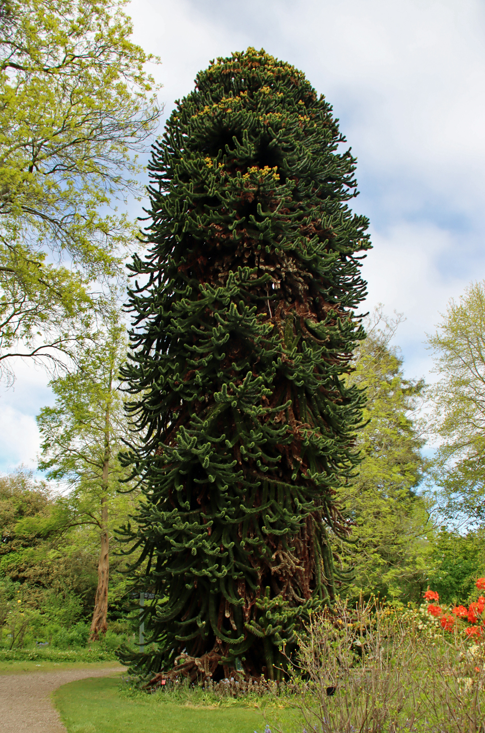
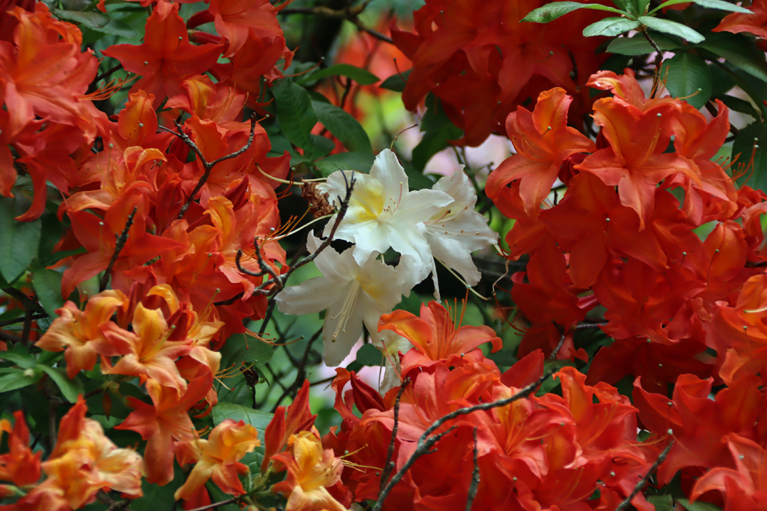
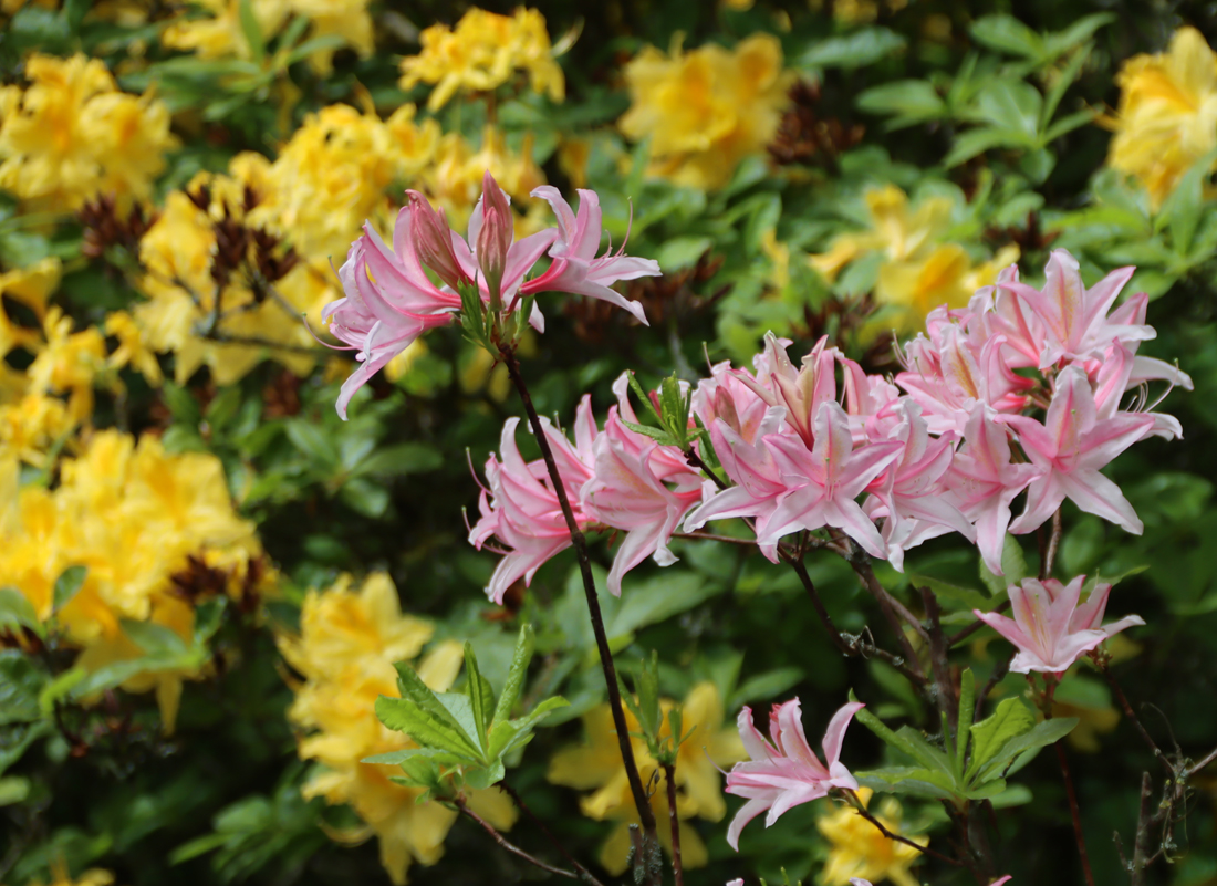
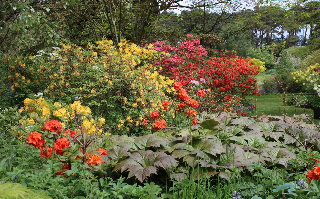
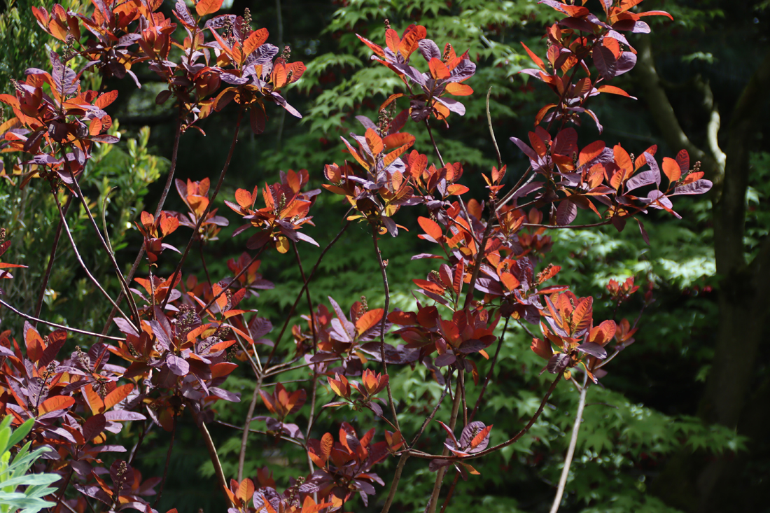
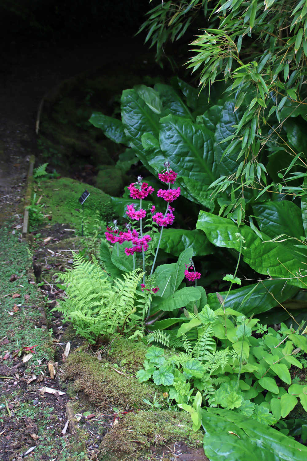
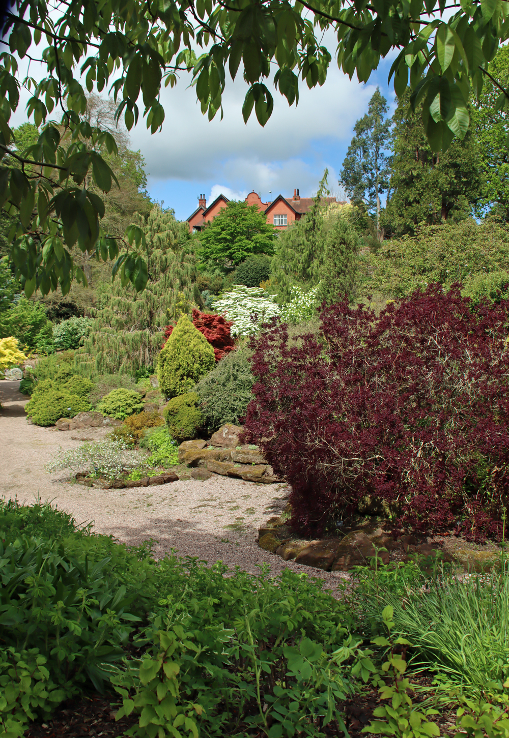
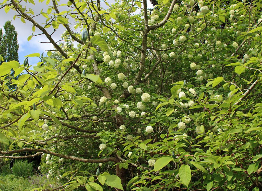
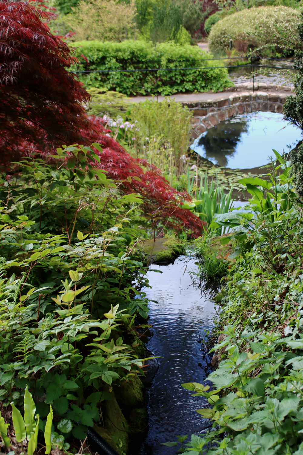
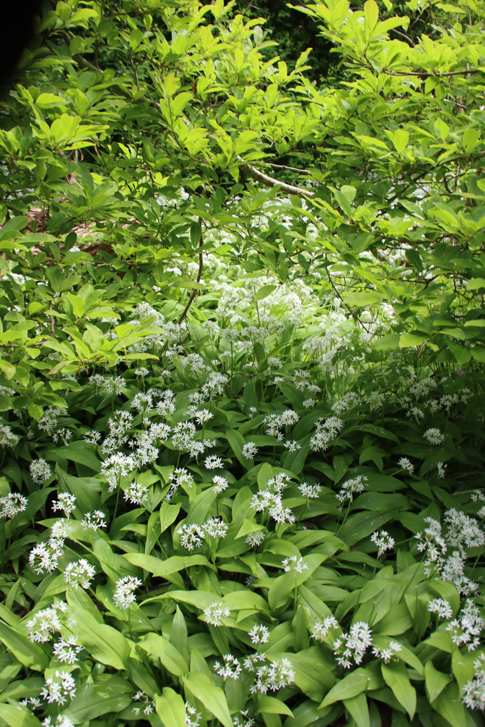
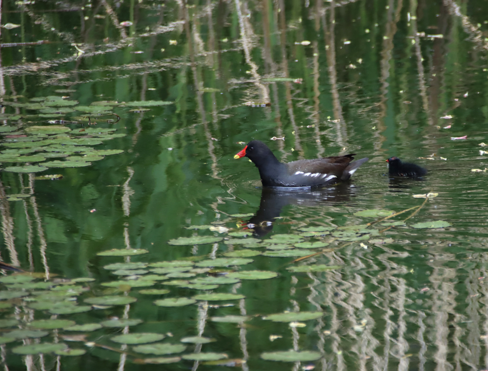
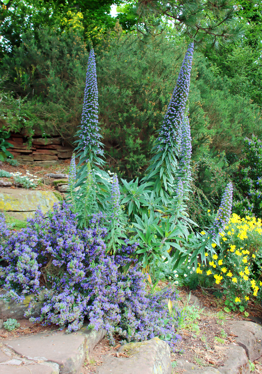
 On one of those days last week when I had a list of a hundred other things I ought to have been doing, and when the sun was blasting down from the heavens like an impending judgement, I jumped in the car and went to Ness Botanic Gardens on the Wirral. Even on a seriously hot day, there was a breeze coming up off the Dee estuary, there were plenty of shaded and wooded areas to enjoy, and Ness is notable for the sheer quantity of seating and benches available throughout. I was there for three hours, so taking water was essential, but if you forget to bring any with you, the shop is well stocked with bottled water.
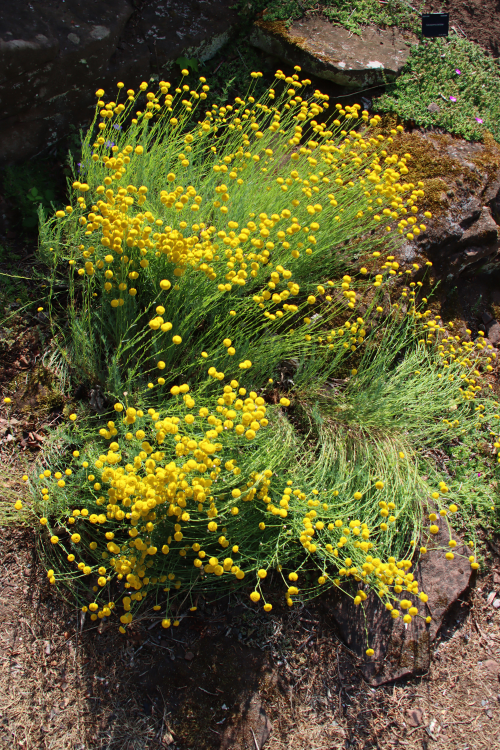
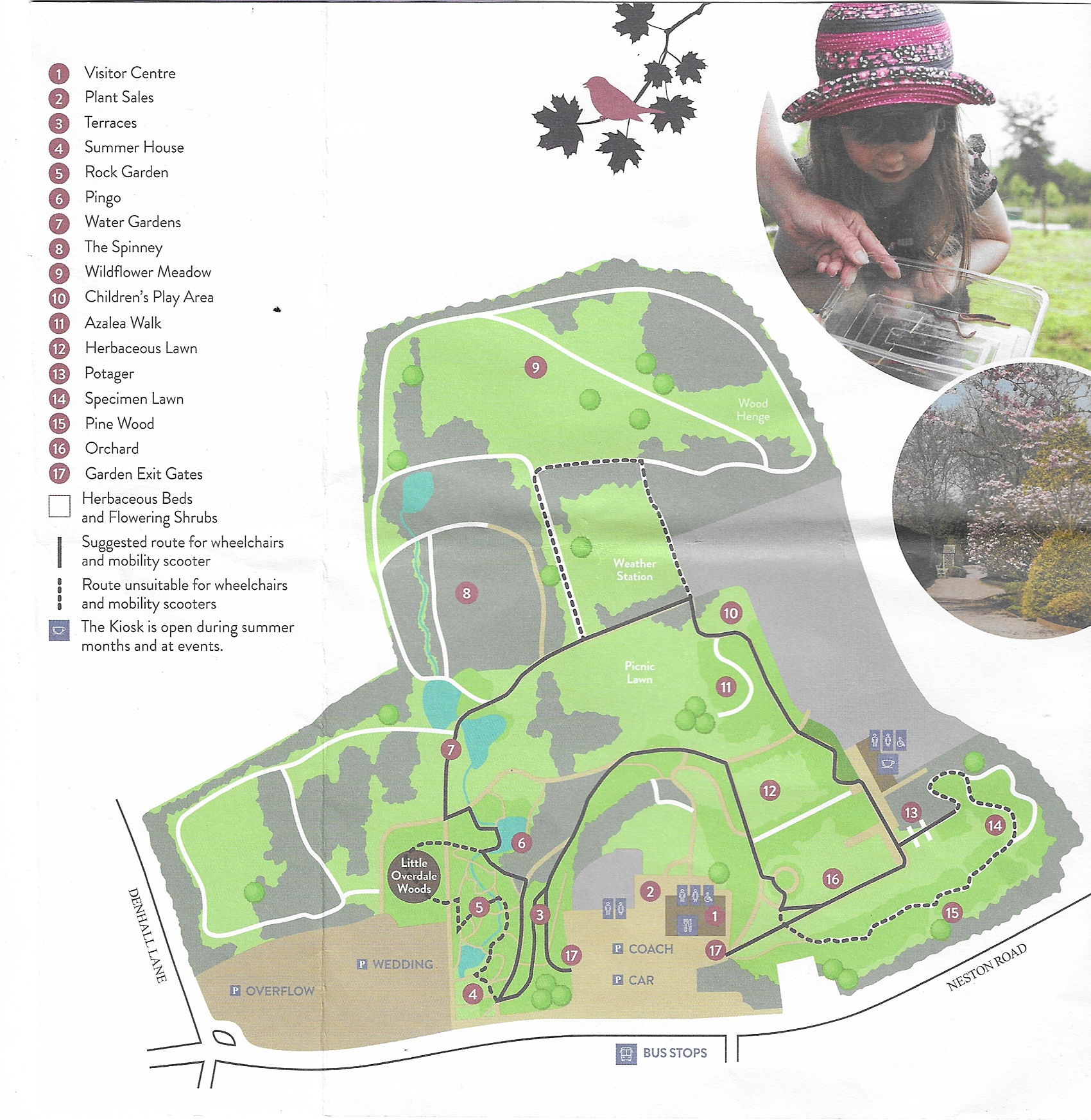
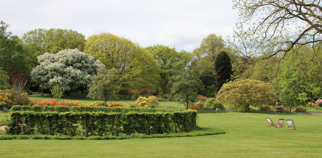
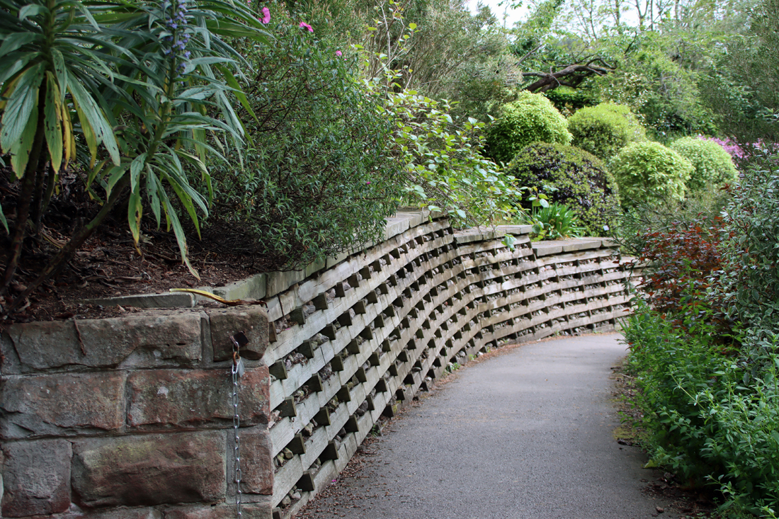
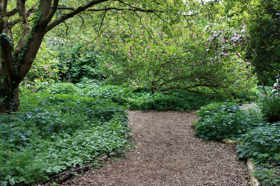
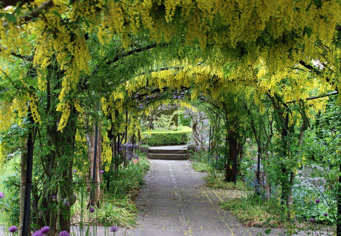
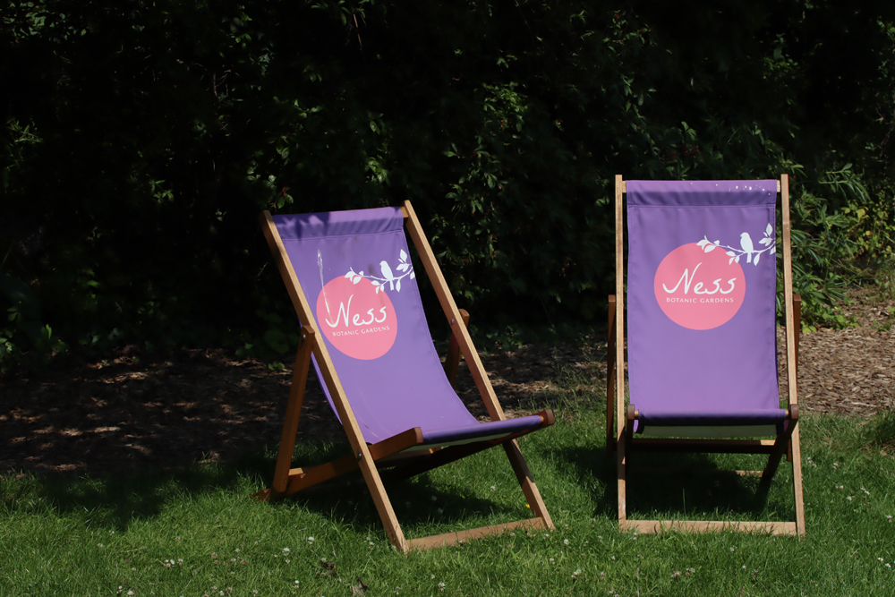 There is plenty of parking. Visitors are provided with a map of the site with the entrance ticket. Ness has a nice, well attended café which does excellent coffee and a good range of sandwiches, hot food and cold drinks, with both indoors and outside tables available. There is a small plant sales centre outside the shop, with excellent quality plants that are kept well-watered (mine are doing well in their new homes), and a shop indoors selling gifts. The Ness Botanic Gardens website with full visitor details is here.
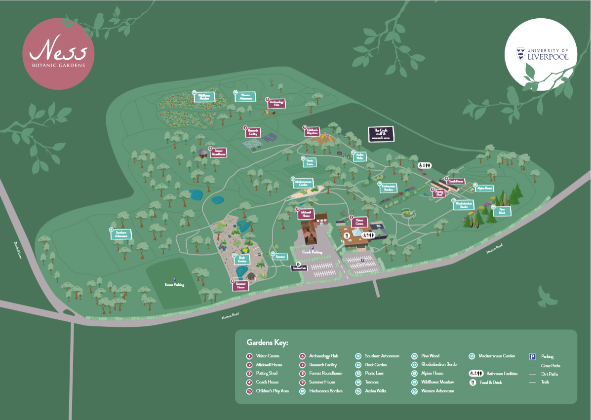


#/media/File:John_Bradshaw,_George_Perfect_Harding.png)