Category Archives: Wildlife

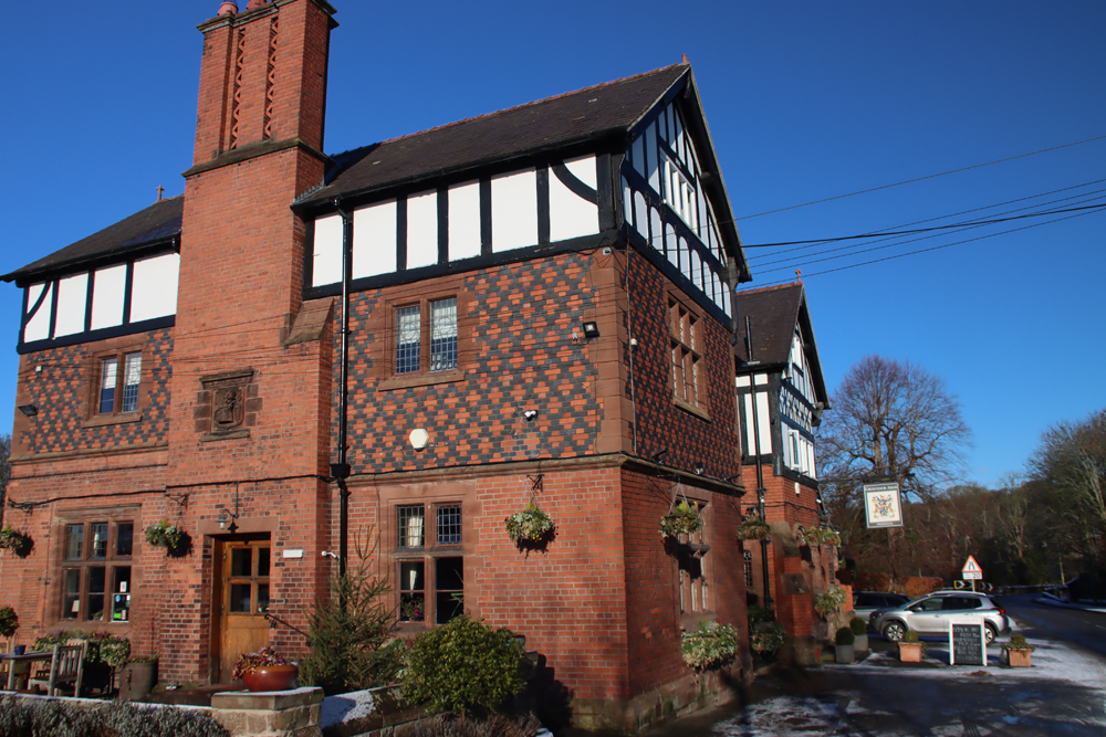
The lovely Harp Inn and the chunky remains of Ness Colliery’s Denhall Quay, south Wirral

The Harp Inn, Little Neston

The Harp Inn, Little Neston

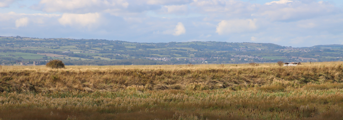
One of the most mellow, blue-skied and sunny afternoons that I have enjoyed in a long time was a sublimely relaxed and chatty visit to The Harp Inn on the Dee estuary, just outside Little Neston.  It is a super little pub dating to the 1700s with lovely views over the marshes towards the impressively long line of the Welsh foothills.  The pub’s official opening time is 12 noon, but we arrived to find it open at 1145 because due to queues outside their doors at 12 they are currently opening at 11. Very gratifying!  The beers and ciders change from time to time (just check their website), there are plenty of soft drinks on offer and the lunches that were being paraded past us as the afternoon advanced looked gorgeous.  The staff are lovely, and the atmosphere is great.  There are lots of tables perched on the grassland at the edge of the lush green estuary, and on a stiflingly hot day, a wonderfully warm but cooling breeze came off the Dee to make the peaceful, endless vistas a delectable place to linger, interrupted only by birdsong.  The breeze was so perfect.  I do love the heat, but it is lovely to be able to sit in the sunshine without dripping like a tap.

Most of the photos taken on my aged iPhone. Enlarge at your own risk!

View from The Harp

View from The Harp


Denhall Quay

Denhall Quay

According to the pub’s website, the building has stood there since the 1750s, when it was originally built as three coal-miners’ cottages, before being converted to an inn in 1780 to serve the expanding coal-mining community at Ness.  This segues nicely into the second major benefit of the pub, which is its location a stone’s throw from Denhall Quay, an intriguing and picturesque line of wall, made of massive red sandstone blocks, that stretches out into the marshland, and is clearly the remaining echo of a substantial structure.  In fact, the wall is what remains of a long pier that served the Ness Colliery, built in 1839 to replace an earlier quay in the same location.  The wall was much deeper than it is now, its lower tiers lying beneath 200 years of silt accumulation, but it it sufficient to give an idea of how impressive the structure originally was.

This was not the most obvious location for a quay because the river did not run past the colliery, veering towards Wales just before Little Neston, meaning that a channel had to be created to link the quay to the main river, which became known as the Colliery Gutter.  It was not ideal, as vessels often had to wait for two tides to turn before being able to navigate all the way to the quay, forcing colliers to beach on the muds in the interval between tides.

Denhall Quay c.1839 Annakin-Smith p170

Denhall Quay c.1839 showing the quay, with its distinctive shape, surrounded by subterranean tunnels. Source: Annakin-Smith “The Neston Collieries, 1759-1855” 2019, p.170, fig.10.6

There were two collieries at Ness:  Ness Colliery, which opened in 1759, and Little Neston Colliery immediately to the north, which opened in 1820.  Most people, myself included, would not automatically associate coal mining with the Wirral, although it is a very familiar industry from North Wales.  Fortunately, Anthony Annakin-Smith wrote an excellent book on the subject in 2019, which I read shortly after its publication, and he gave a really enjoyable lecture about the collieries at the Festival of Ideas this year (July 2026).  The Wirral coal seams are an extension of the Welsh ones, but although a slither of the seams can be found on the Wirral landmass itself, most of them lie under the estuary, and it was here that most of the mining took place.  A whole network of tunnels was built below the estuary, and subterranean canals were added to help remove the coal in long narrow vessels called “starvationers.”  Both the tunnels and the canals lead back to shafts where the coal was hoisted to the surface.  It was a dangerous and sometimes tragic business.  Once extracted and processed the coal was transported to ports in Britain, Ireland, France, Spain and as far away as America and even Barbados.

Starvationer

A “starvationer” of the sort used in the canals beneath the Dee estuary, now in the National Waterways Museum at Ellesmere Port (my photo)

The two collieries were located either side of a border dividing land between two different family interests.  The original colliery, Ness, owned by the Stanley family, handled the arrival of the new colliery very badly, and its owner, Sir Thomas Stanley, who sounds like an absolute monster of a man, pursued a course of aggression that eventually, on several occasions, erupted into blatant sabotage, including destruction of machinery, flooding of their rival’s tunnels and, on one particularly violent occasion, an attempt to use explosives to completely obliterate the opposition.  The collieries were both closed between 1845 and 1855 due to silting of the estuary, but they were revived in 1875, and the last coal was worked in 1927.

It is difficult to assess just how the collieries initially impacted local people, because most of the coal miners were brought in from North Wales and Lancashire, with Wirral residents only working in minor and administrative roles.  But both the collieries and the miners became part of the community, and Denhall Quay is an important reminder of the unexpected industrial and social heritage of this small corner of the Wirral.

The Harp Inn, on Quayside in Little Neston, is at the end of a residential lane, Marshlands Road, turning left along the Quayside, before it eventually becomes a track and then a footpath.  There are three main parking areas, first just as you round the bend to turn left from Marshlands Road onto Quayside (What3Words ///regarding.solving.mirroring, about a two minute walk, heading in the same direction), then at the pub itself where there is parking for about 10 cars (What3Words ///when.grumbling.kicks), and finally at Denhall Quay (///bike.outcasts.tarred, about a two minute walk back to the pub).

If you are interested in finding out more about the Wirral collieries I sincerely recommend Anthony Annakin-Smith’s The Neston Collieries, 1759–1855: An Industrial Revolution in Rural Cheshire published by the University of Chester Press (a second edition was released in 2023), and also check out his website at https://www.nestoncollieries.org.

At the entrance to Denhall Quay there are two helpful information boards that are faded but still just about legible, covering the earlier and later colliery phases, and you can walk out into the marshland along well-worn paths (dry in a hot summer, but probably not as foot-friendly in the autumn and winter).

Both the pub and the quay are on the King Charles III England Coast Path, and would make a great destination if you are visiting either Ness Botanic Gardens or the RSPB reserve at Burton Mere

Other posts on this blog re the southwest Wirral area:


Late June at Ness Botanic Garden on the Wirral

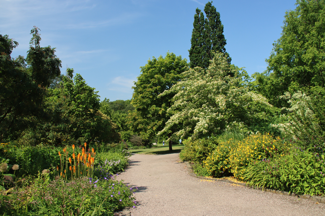
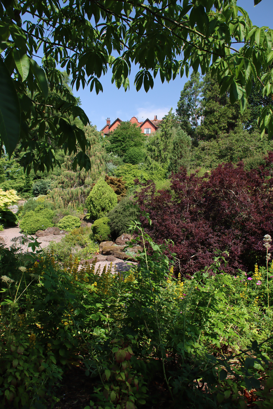
On one of those days last week when I had a list of a hundred other things I ought to have been doing, and when the sun was blasting down from the heavens like an impending judgement, I jumped in the car and went to Ness Botanic Gardens on the Wirral.  Even on a seriously hot day, there was a breeze coming up off the Dee estuary, there were plenty of shaded and wooded areas to enjoy, and Ness is notable for the sheer quantity of seating and benches available throughout. I was there for three hours, so taking water was essential, but if you forget to bring any with you, the shop is well stocked with bottled water.

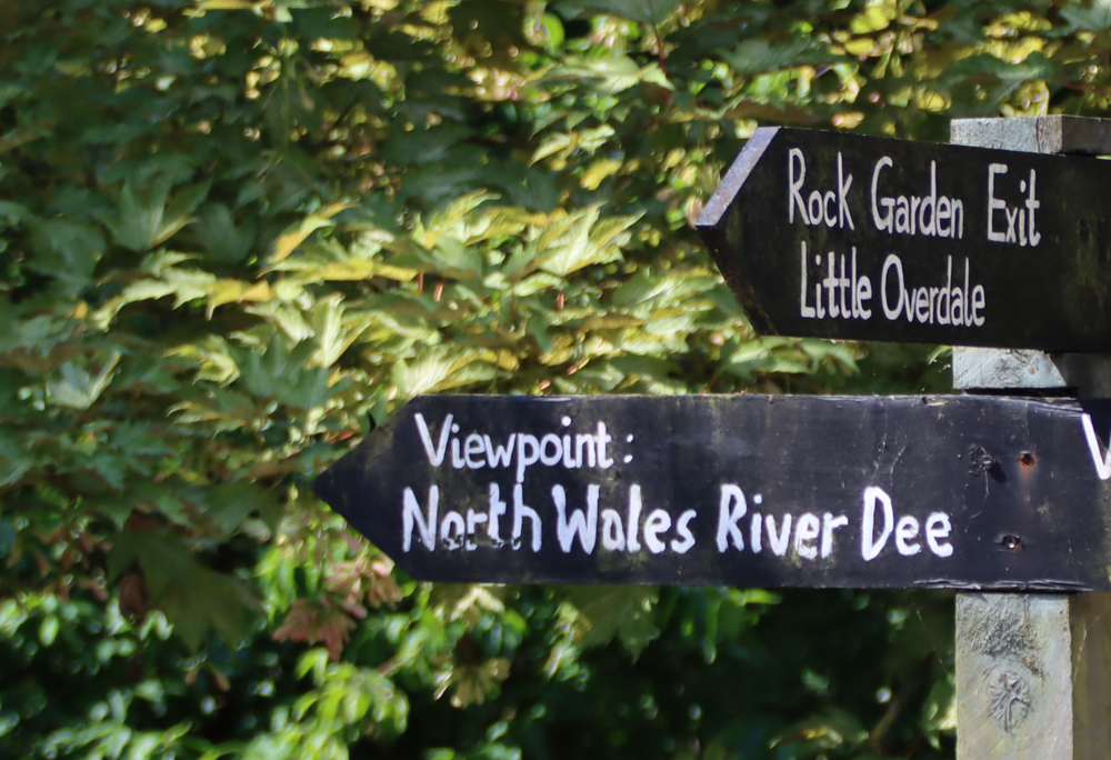
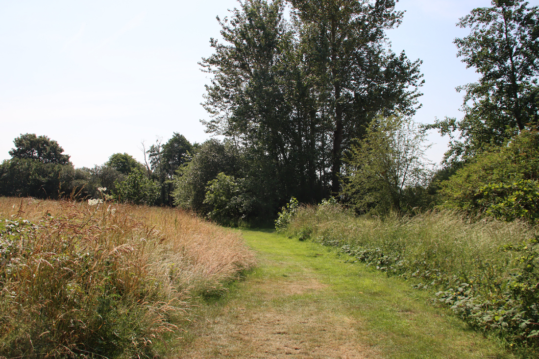
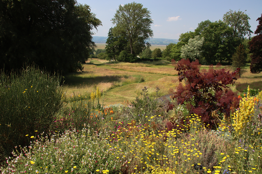
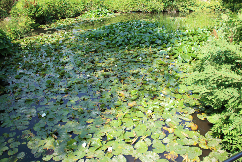
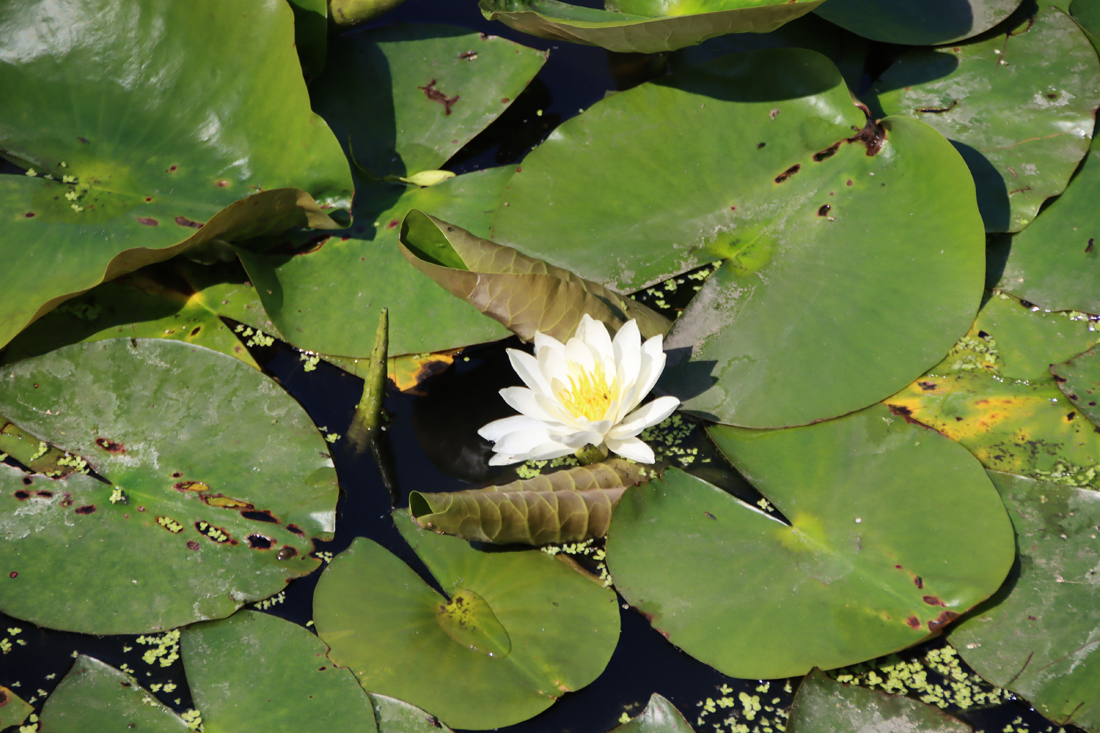
My previous visit, during rhododendron and azalea season, was only six weeks ago, but the change was absolute.  The brightly coloured floral effusions of shrubberies, woodland edges and wending pathways had gone over for the season, but in their place both sun- and shade-loving extravaganzas had emerged and were doing a fabulous job of ornamenting large areas of the gardens.  Water features are a significant aspect of Ness, and even though drought conditions were in play, the ponds and wending channels were looking good, supporting numerous water-adapted plant species, some of them with leaves as large as parasols, as well as dragonflies and damson flies.  The herbaceous borders in the big open expanse below the main building are being re-done and were not the extravaganza of colour I had been expecting, and the rose border had gone over, but what I learned on this visit is how much there is to see beyond the core areas.  The gardens extend into shaded wooded areas with winding trails and great views over the Dee and the north Wales coast, and there are extensive wildflower meadows.

There is plenty of parking.  Visitors are provided with a map of the site with the entrance ticket.  Ness has a nice, well attended café which does excellent coffee and a good range of sandwiches, hot food and cold drinks, with both indoors and outside tables available.  There is a small plant sales centre outside the shop, with excellent quality plants that are kept well-watered (mine are doing well in their new homes), and a shop indoors selling gifts.  The Ness Botanic Gardens website with full visitor details is here.

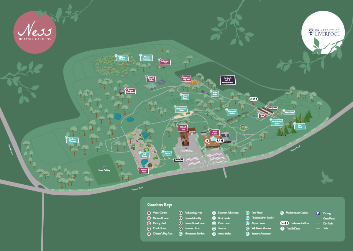
Available to download from the Ness Gardens website at https://www.liverpool.ac.uk/media/livacuk/nessbotanicgardens/Ness;,Map,3_2_26.pdf, but I have not found a way of rendering it easy to print. You are given a copy, however, with your ticket

For a very enjoyable day out, this could be combined very easily with the RSPB Burton Mere nature reserve, which is just 10 minutes away.


Cooling walks at RSPB Burton Mere on a seethingly hot day

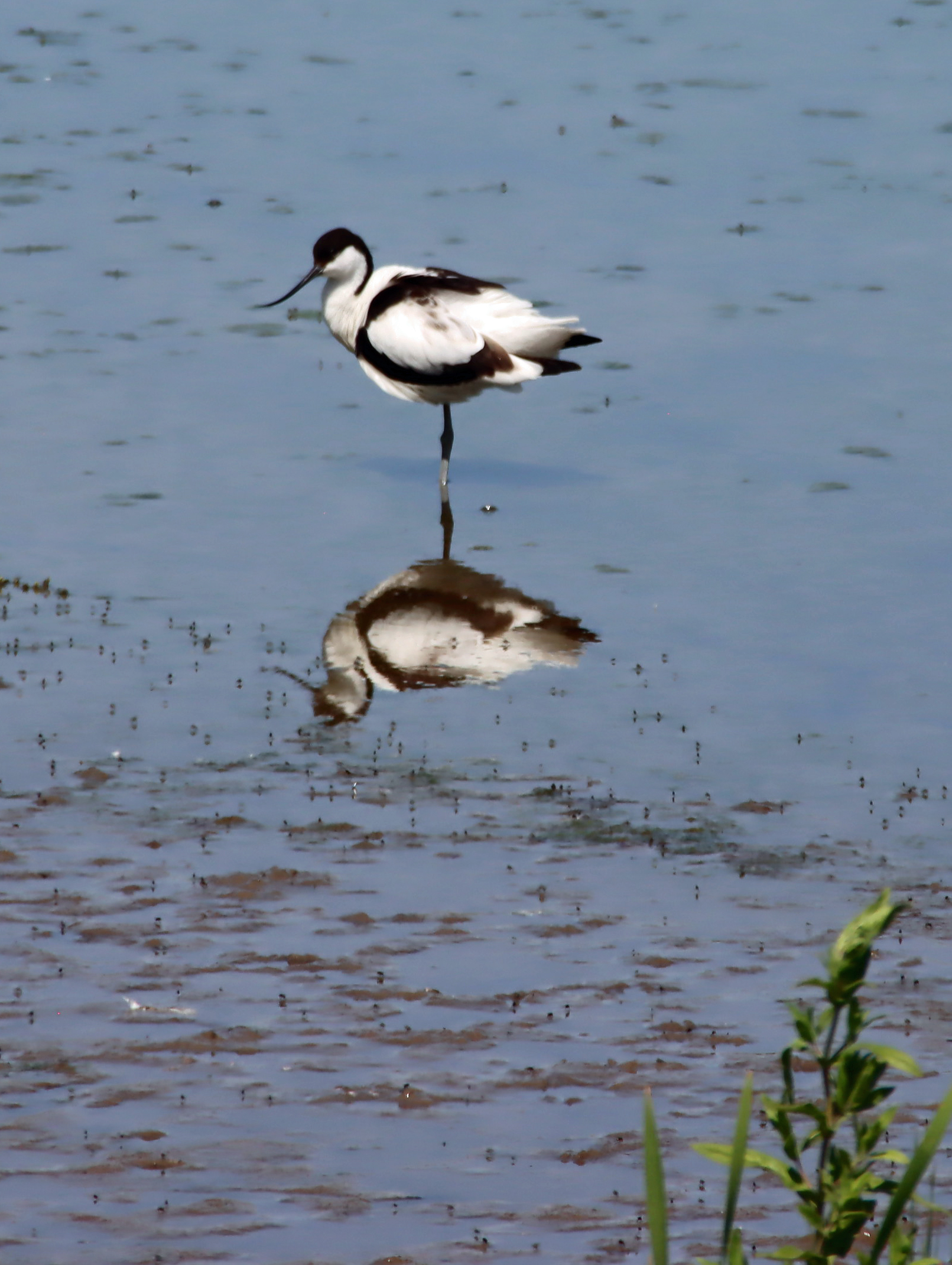
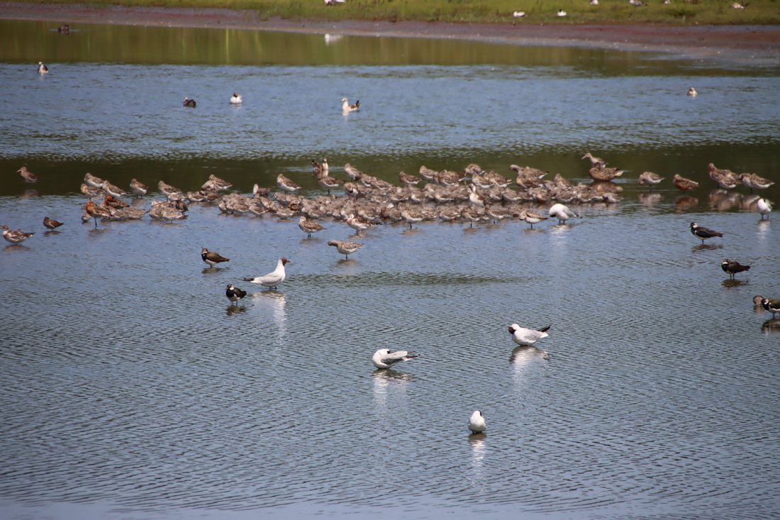
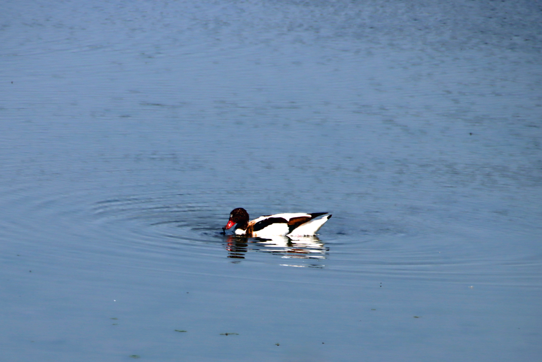
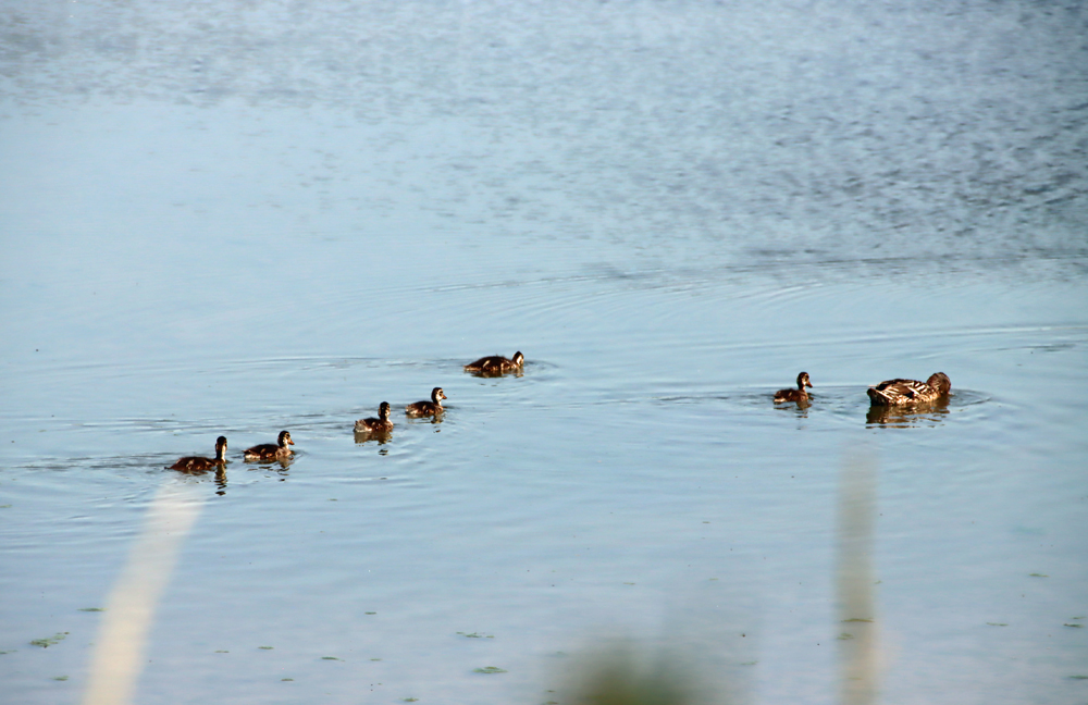
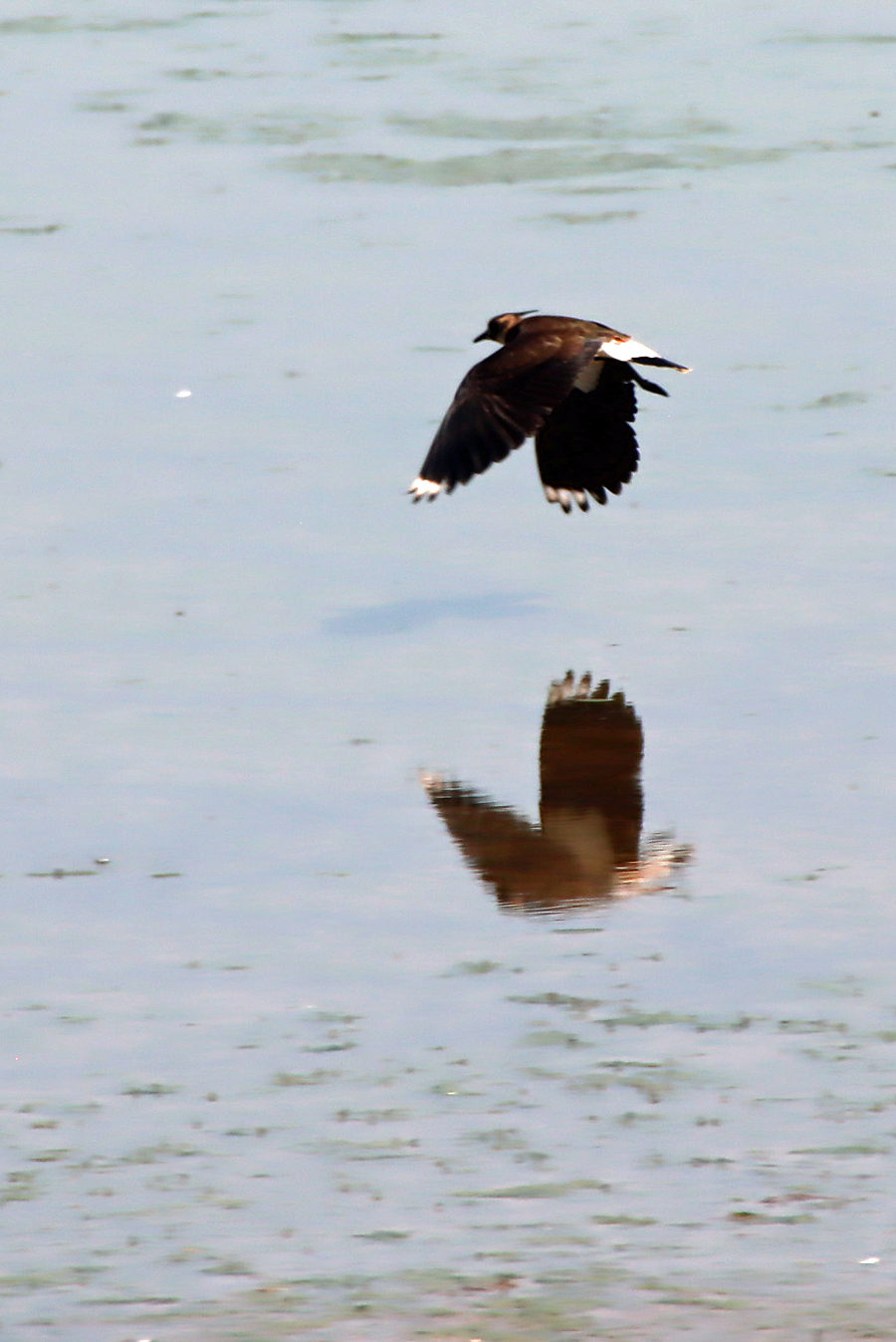
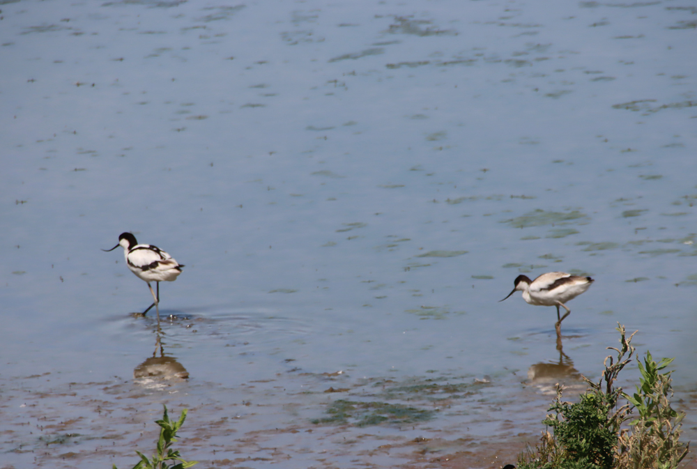
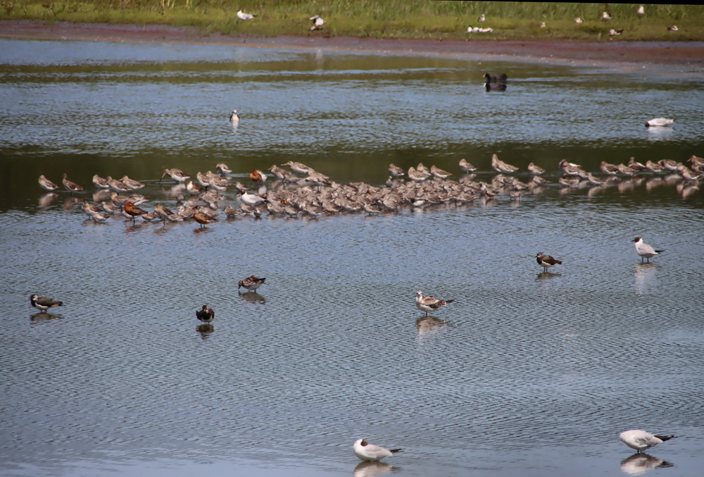
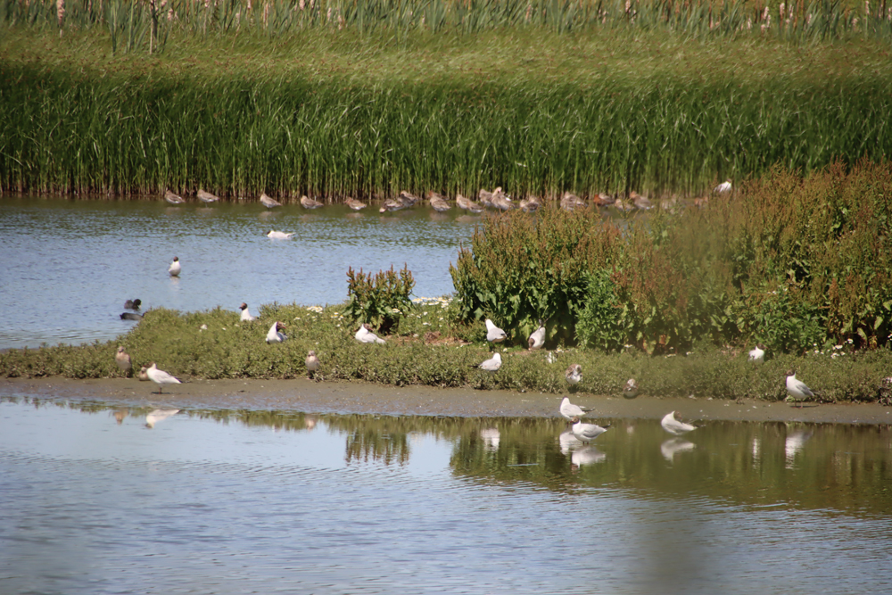
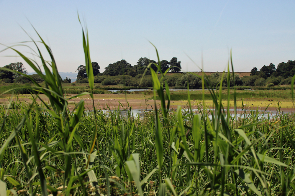
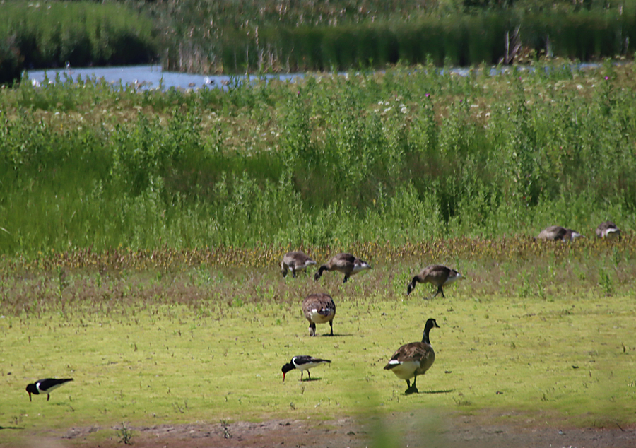
My third visit to the RSPB nature reserve at Burton Mere on the southwest Wirral was made particularly remarkable by the unprecedented and indeed record-breaking levels of heat in late June.  Thankfully, Burton Mere offers an excellent balance of sunny board walks and leafy pathways and tracks, as well as cool hides, and there was a slight breeze from the Dee even where other areas locally were perfectly still.  The reed beds and woodland walks were delightful on such a hot day, and there were two different types of wild orchid in flower, which were something of a treat.  There were plenty of birds to see cooling down in the water, with the furthest hide,  Border Hide, as busy with a wide range of wading birds as it had been on both my earlier visits.  Apologies for the wildfowl photographs, which are at the absolute limit of the range of my camera lens.  A full daily list of what has been spotted is always posted on the RSPB Burton Mere’s Facebook page to give an idea of what to look out for.   I was particularly glad to see the avocets with their upward-curving beaks and distinctive black and white plumage.  Avocets had become extinct as residential breeding birds in Britain prior to their reintroduction in 1947.  According to the RSPB website, over half of those breeding in the UK today are still on managed wetland reserves.  There were plenty of them at Burton Mere this week.

There were only a few other human visitors, and when I paused at the welcoming café on my way out, for a delicious latte and an ice cream at an outside table in the shade, I was in splendid isolation, accompanied only by a small jackdaw, which eyed my ice cream with all the optimism of one who is regularly fed by visitors.  The heat has clearly deterred many visitors, but it was easy enough to avoid extensive periods of exposure to the sun.  Because of the heat, taking water is a strongly recommended precaution, but if you forget to take your own the café sells bottled water as well as other cold drinks.

Visiting details can be found on the RSPB Burton Mere website here.  If combined with the Ness Botanic Gardens, only 10 minutes away, this could make a good day out.  Both have cafés for lunches and other refreshments, and both have plenty of parking.

My previous post about RSPB Burton Mere, with much better photographs of the bird life, is on the blog here.


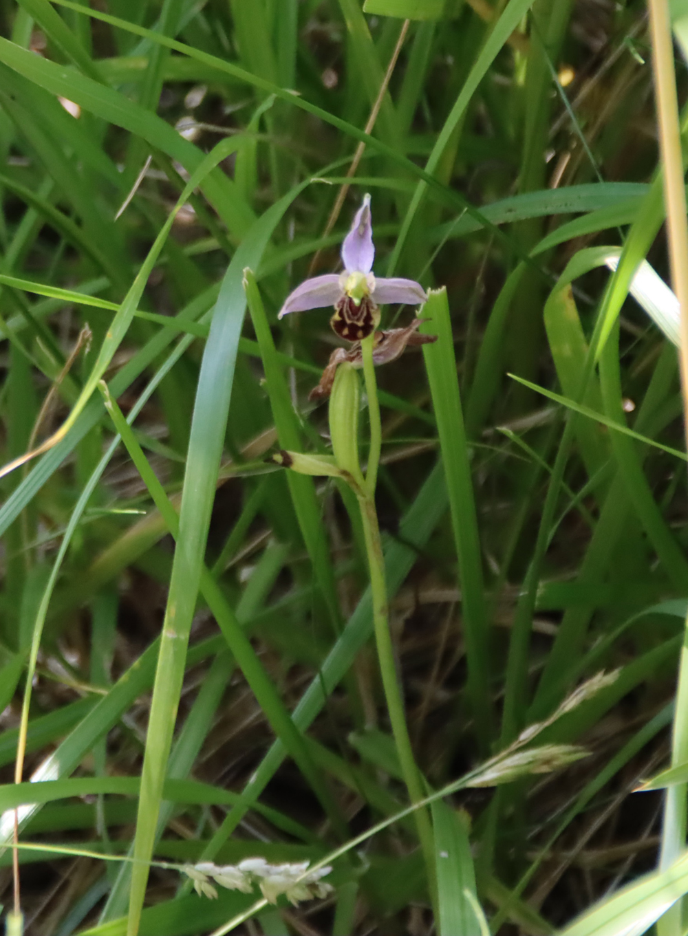
Bee orchid

Bee orchid


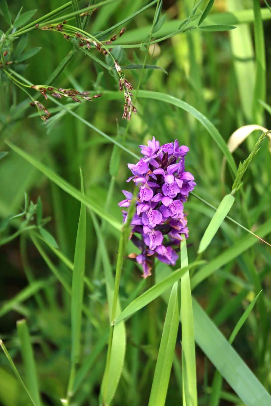
Southern marsh orchid

Southern marsh orchid


View across the marshes to Burton Point, where the purported hillfort is located on the RSPB land (look out for the sign posts)

My somewhat shaky video of the view from the Border Hide at Burton Mere, taken on my camera balanced on one of the Border Hide window sills.  I love the cacophony of bird calls (just under 2 minutes long).


The small and rather puzzling Burton Point Iron Age promontory fort on the Wirral

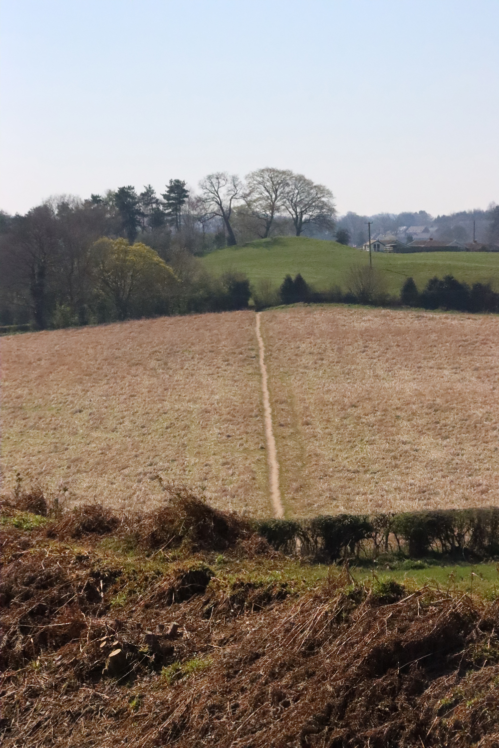
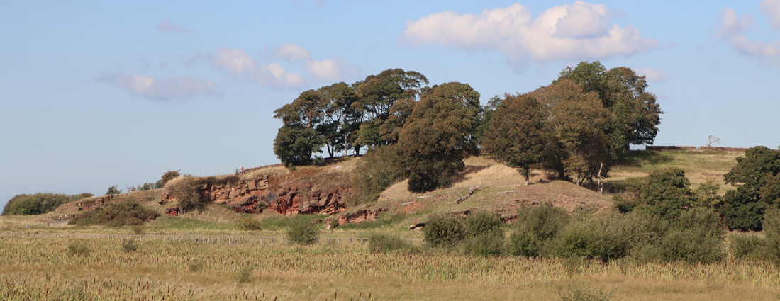
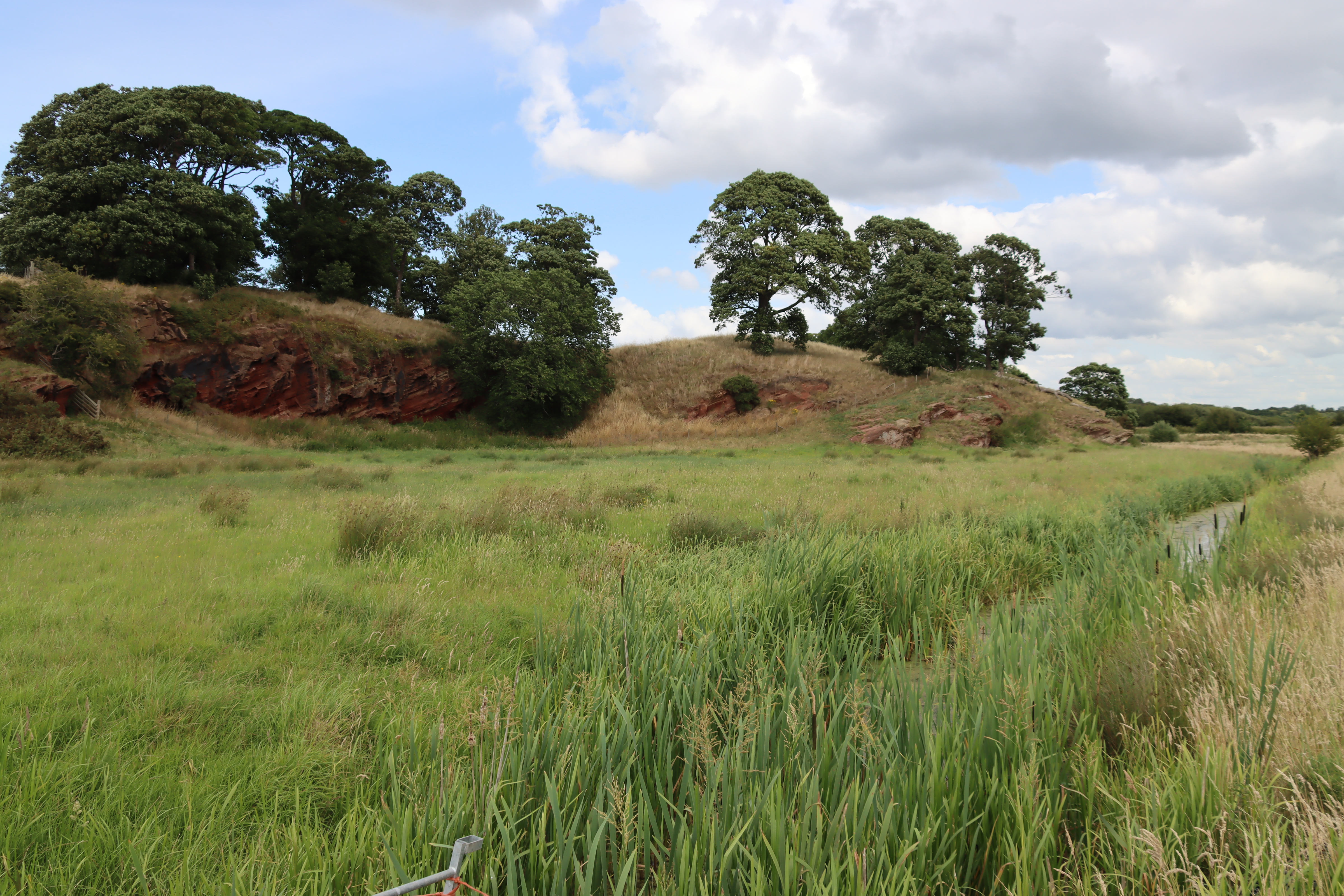
Burton Point from below

Burton Point from below

The earthworks at Burton Point have been consistently dated to the Iron Age, and the site has usually been described as a promontory hillfort. This post is about the prehistoric, medieval and post-medieval history of the site, with a particular focus on the Iron Age.

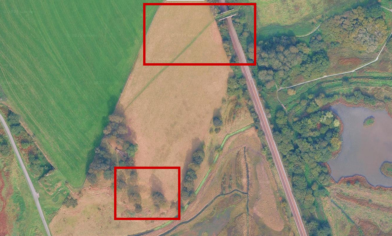
Burton Point footpaths and earthworks

The footpath over the railway leading to the viewing platform in the wooded area within the RSPB wildlife reserve, and the earthworks below. Source:  Google Maps

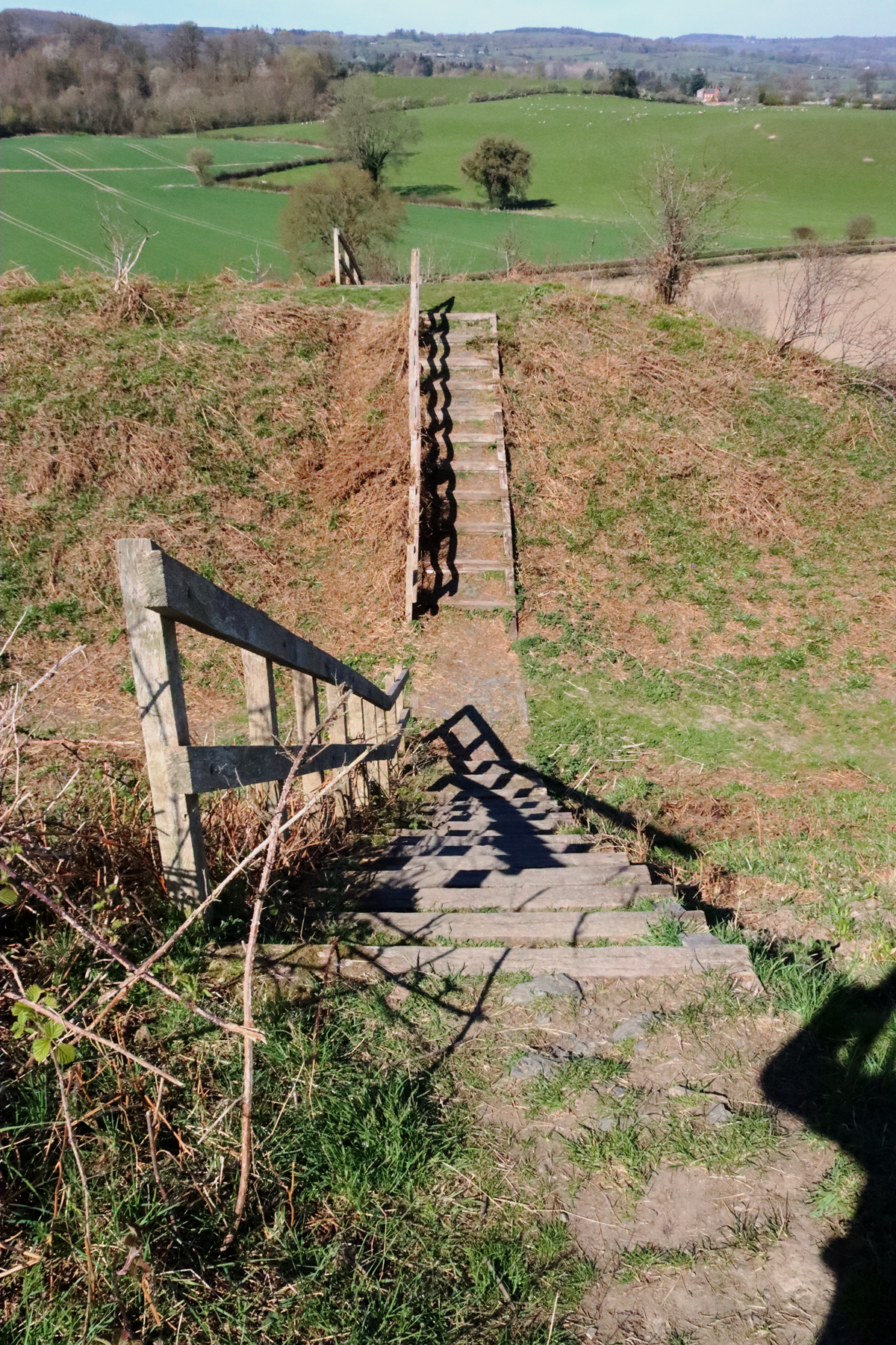
The site is located on a former promontory at the end of a headland at the western edge of the RSPB Burton Wetlands nature reserve.  You may see older websites saying that Burton Point is on private land, but this has now changed and entry to the viewing point over the defences now simply requires a ticket via the RSPB reception area.  The site is served by good footpaths and signposting and includes basic interpretation signage to give visitors some idea of what might have been there during the Iron Age.  As the RSPB reserve is really excellent (I have written about it here) it makes for a great day out even for people who are not particular bird aficionados.

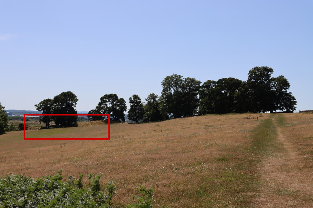
Burton Point fortifications as seen from the footpath in the above imgae

Burton Point fortifications as seen from the approach along the footpath from the RSPB reserve, highlighted in red

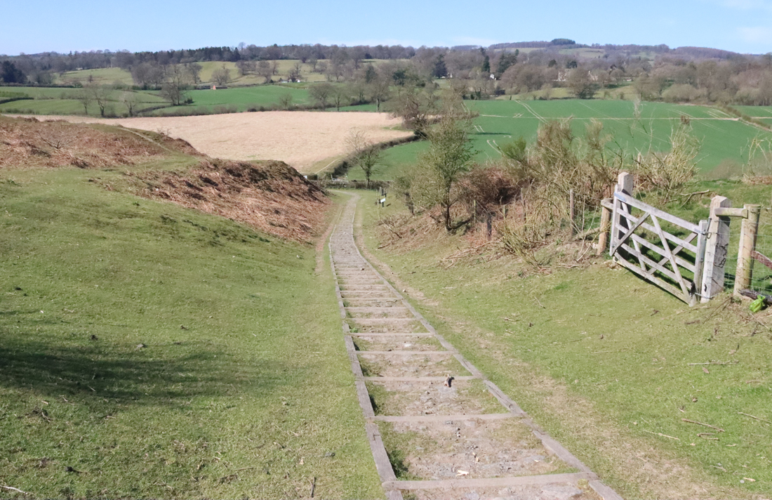
Do note that on the whole, there is not a lot to actually see.  The Iron Age defences are on the other side of a fence, with notices not to cross the fence, so exploring the bank and ditch would be trespass.  Even though you are overlooking the defences, it is not at all easy to make out what is going on.  The other approach is to take the cycle track that runs near the base of Burton Point to try and get a look at it from below, but here again it is difficult to make out where the defences are located and how they would have been deployed to protect an Iron Age settlement.  The best way to get a good look of the site is from above, and you can do this by viewing the Mister Drone UK video of the site, which is by far the most effective way of understanding the relationship between the different parts of the site and the modern landscape and former riverscape.


Archaeological phases

Between 2005 and 2006 the University of Chester undertook three field surveys:  contour, topographical and geophysical, as well as a documentary review to track down any historical reference to the site in contemporary records.  These were reported by Gary Crawford-Coupe in the Journal of Chester Archaeological Society in 2006.

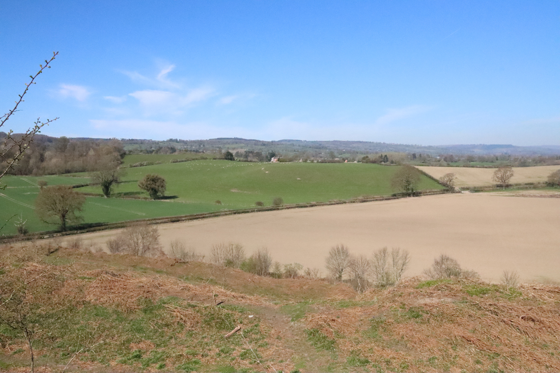
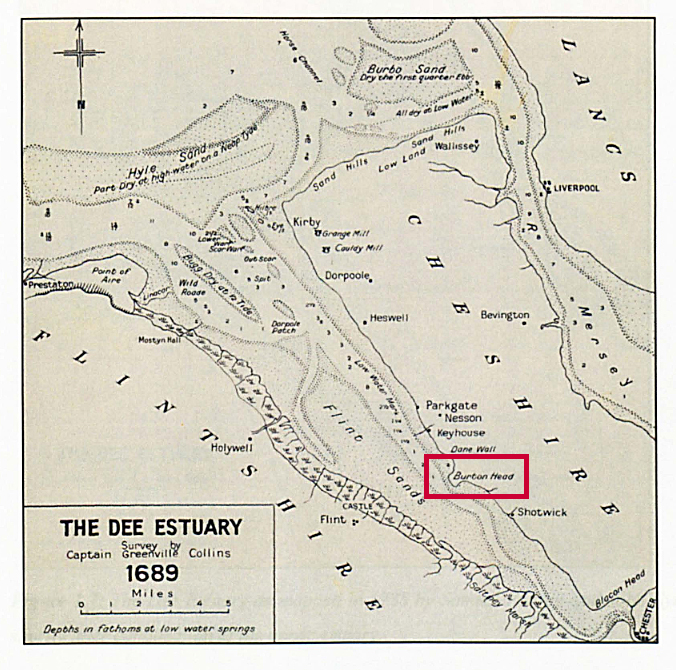
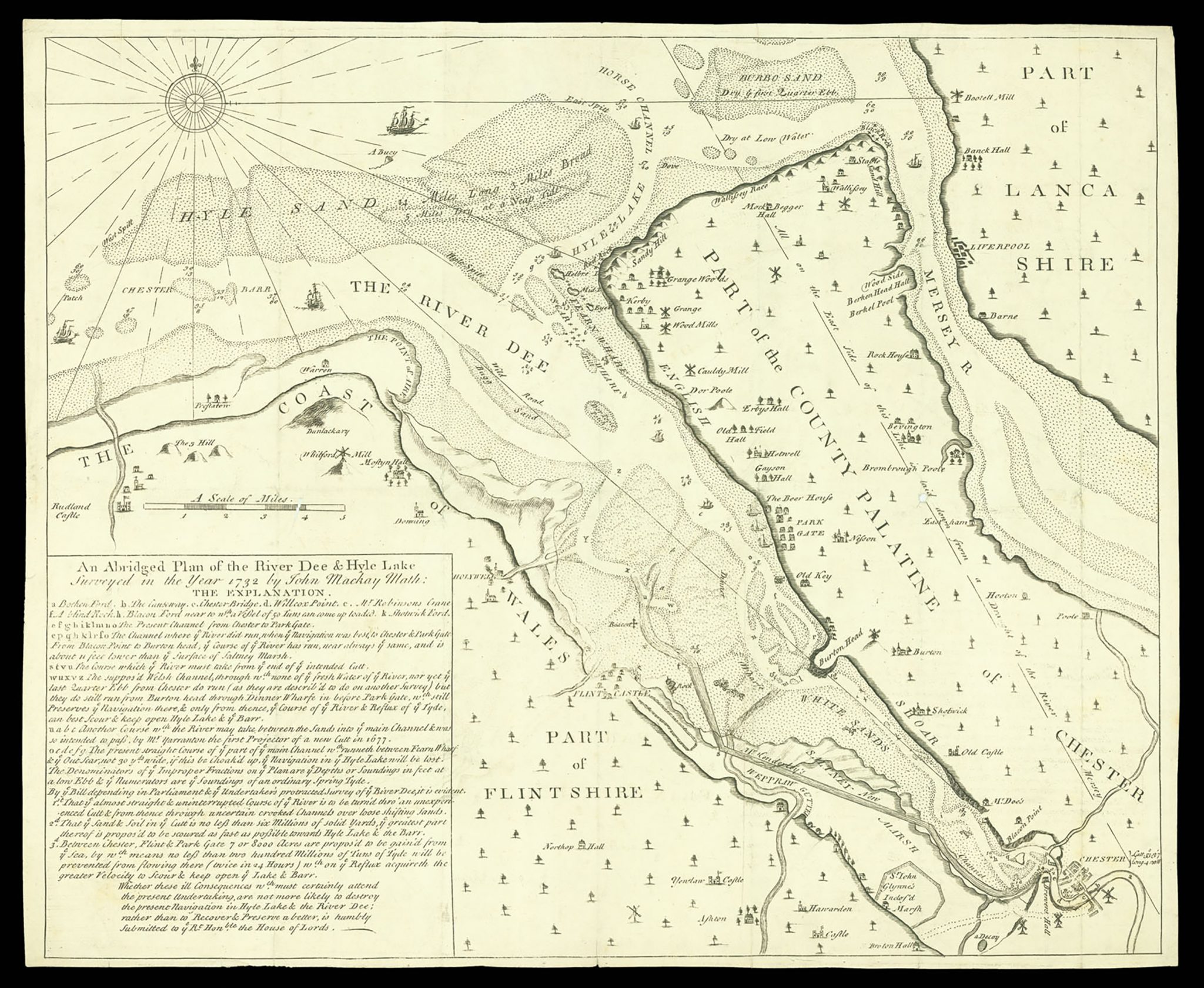
As you can see in the 1689 map above, it was a very noticeable promontory, with the river channel running along its base, offering clear views upriver towards Chester, and downriver towards Hilbre Island, which we could see on the day.  The visibility of Hilbre will depend to a great degree on the weather, but this was the hottest day of the year to date, and there was not a cloud in the sky.  Opposite, on the Welsh side, is Flint Castle which, like Burton Point, is now set back from the river by a long margin of accumulated silt, but was right on the water’s edge when it was built in 1277.

The four main periods of archaeological evidence proposed for the site are Neolithic, Iron Age, Medieval and 17th century.  The site was quarried extensively for red sandstone, which has caused changes to its appearance.  These are discussed by Gary Crawford-Coupe’s 2006 paper, based on the University of Chester’s field surveys, which is the best source of collated information, and can be downloaded free of charge from the Archaeological Data Service (see Sources at the end).

Neolithic

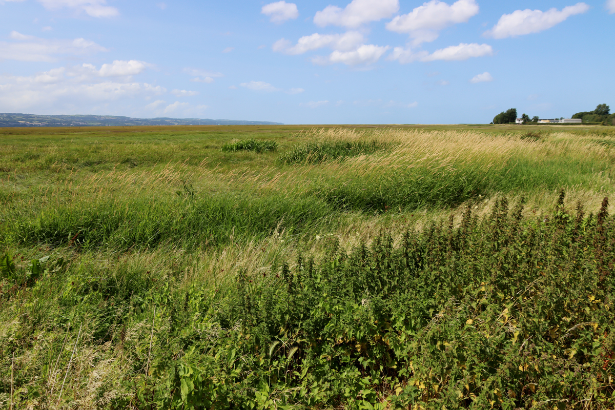
View along the Dee Estuary to the northwest

View along the Dee Estuary to the northwest towards the coast from the former riverbed under Burton Point

Although there are scatters of Mesolithic lithic finds on the Wirral dating to the earlier and later Mesolithic, examples of which were found in the nearby village of Burton, there is nothing dating to this period at Burton Point.  Three interesting finds dating to the Neolithic were, however, found, discussed in Crawford-Coupe’s paper.  There were two arrowheads, one tanged and one transverse, and a polished axe head from Graig Lwyd in Penmaenmawr.  Graig Lwyd axes were found over a wide area and represent a successful trading network.

Iron Age

The site

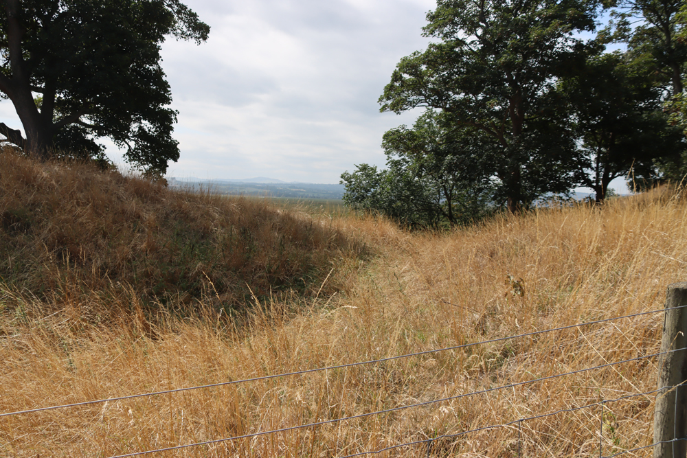
Fortification at Burton Point

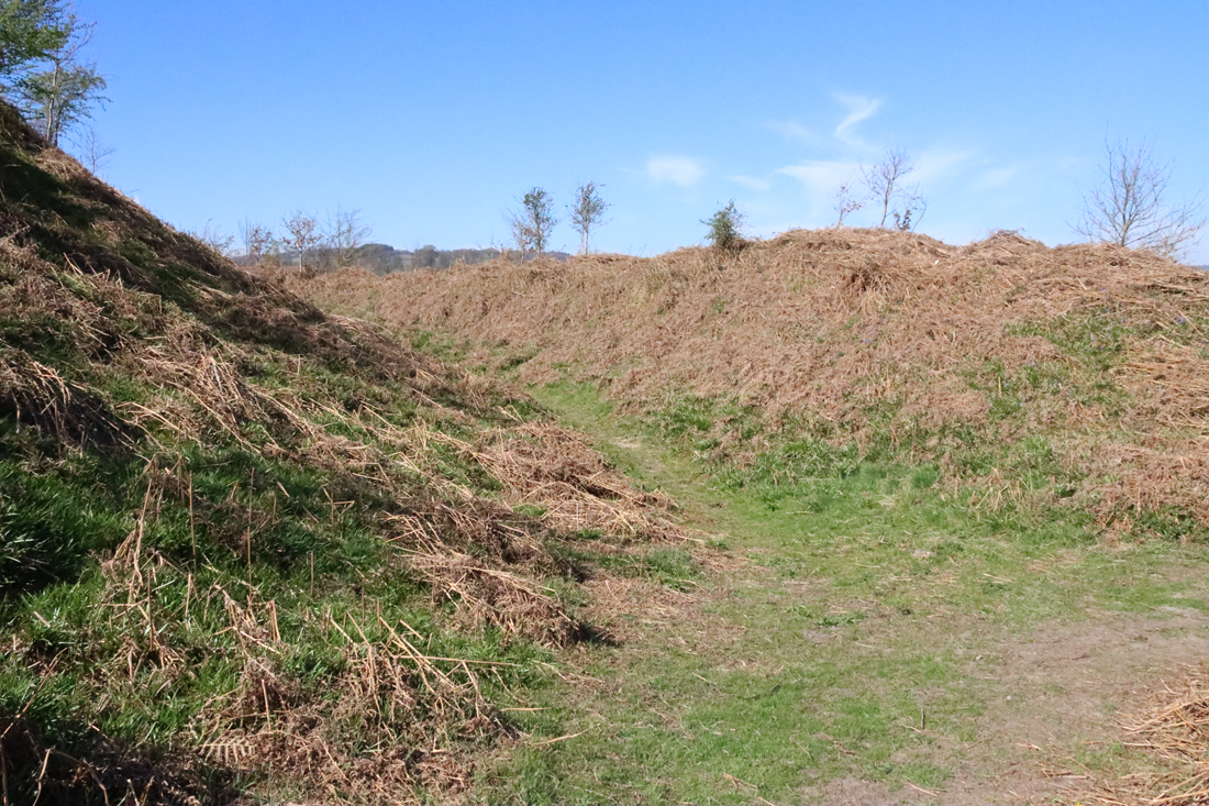
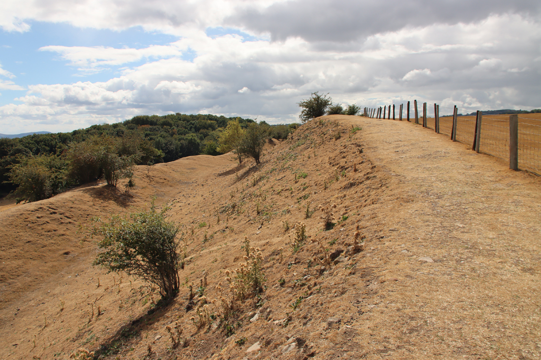
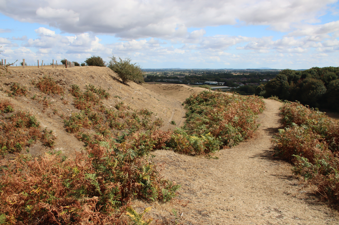
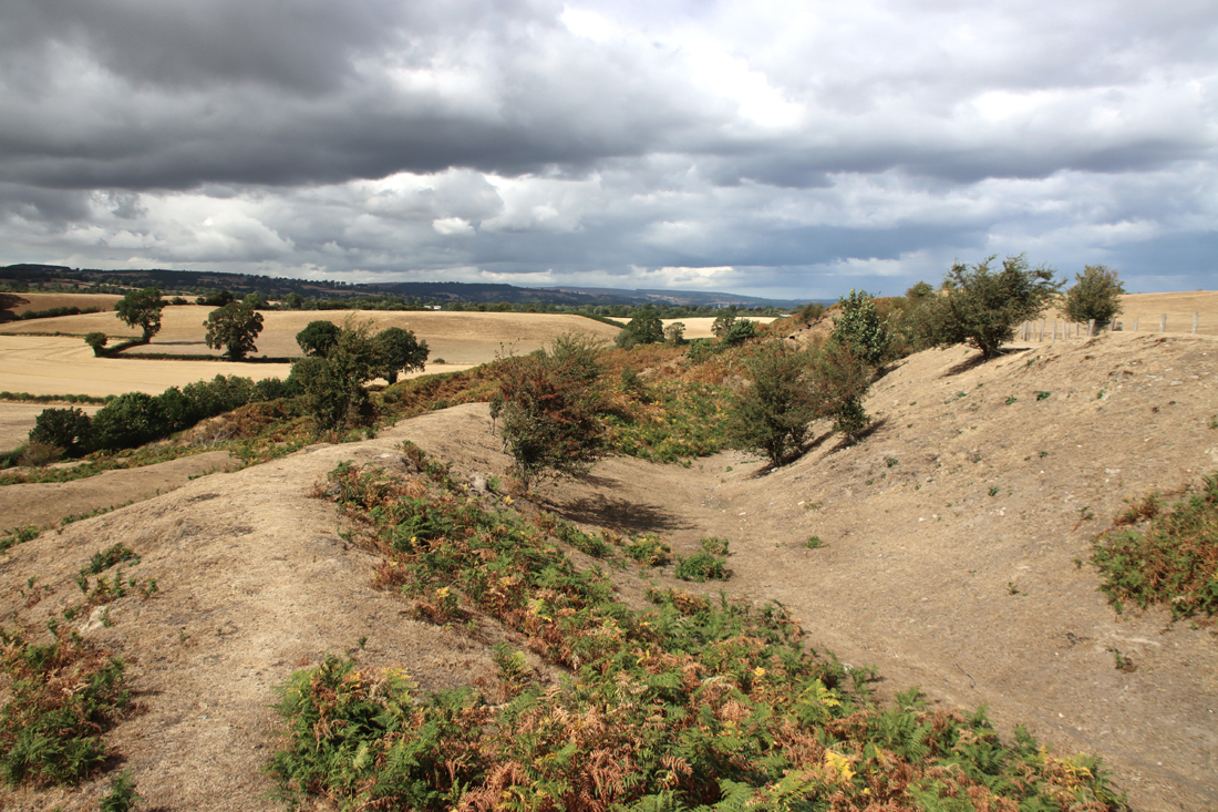
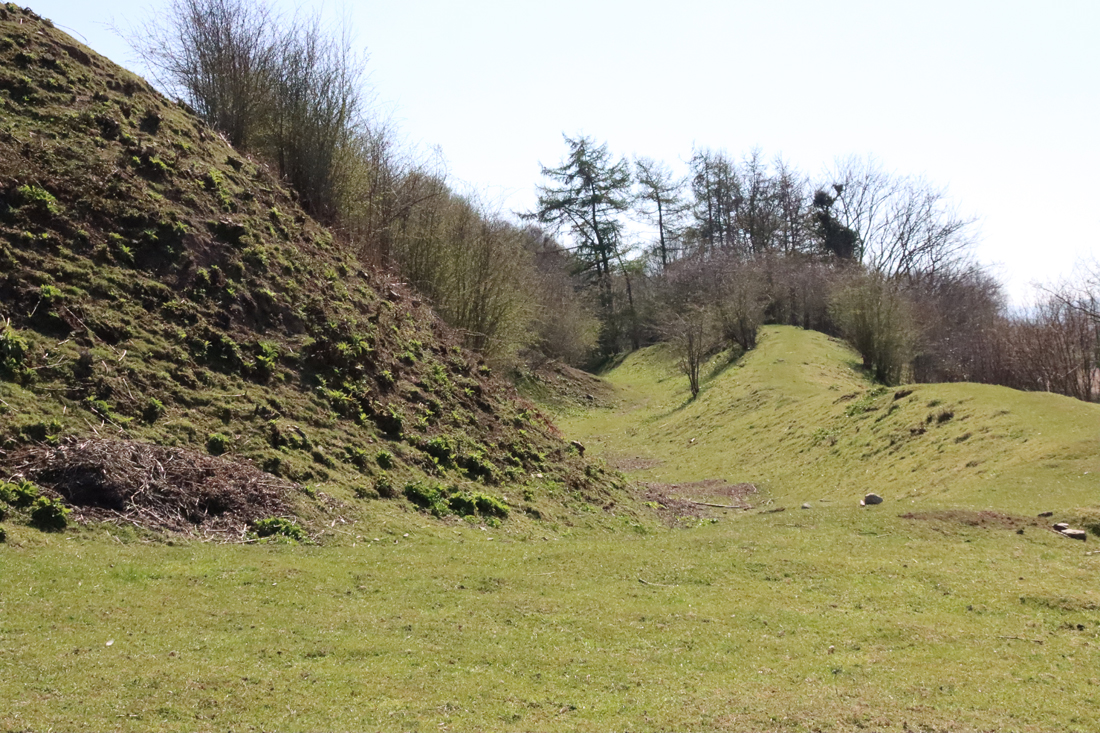
Fortification at Burton Point, consisting of a bank and ditch

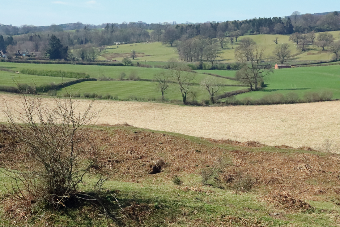
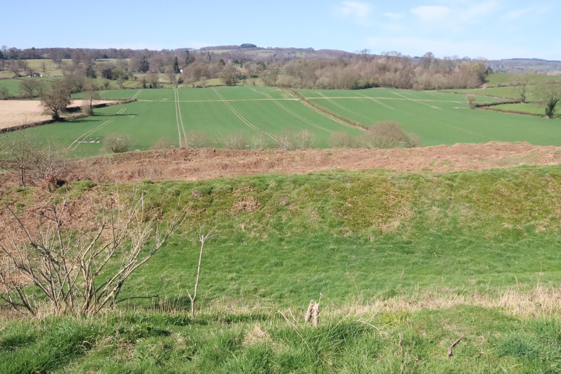
The site has not been excavated so recognition of a site and its interpretation as an Iron Age promontory fort has mainly been a matter of the presence of a bank and ditch.  The bank and ditch arrangement is referred to as a glacis type (in which the bank runs directly on a diagonal slope into the ditch).   The site has produced no further late prehistoric information, and no diagnostic artefacts have been recovered although it should be noted that the lack of finds from the Iron Age in the Cheshire area is entirely typical.  The main object type discovered from Iron Age sites is VCP (Very Coarse Pottery), a distinctive coarse pottery used for transporting salt, but none of this has been found at Burton Point to date.  In spite of this lack of corroborating evidence, most of those who have inspected and commented on the site have been confident that this is indeed a small Iron Age promontory hillfort that could have supported a small population, perhaps little larger than an extended family.  It was first registered as a Scheduled Monument in 1913 and in 1979 the schedule was modified to include a larger area.

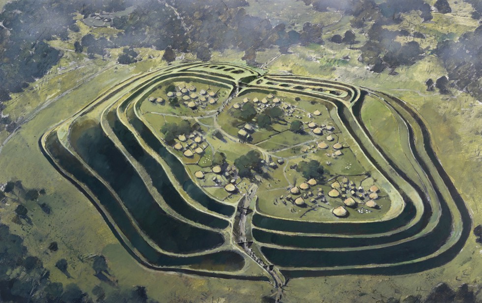
Maiden Castle, Bickerton Hill, Cheshire

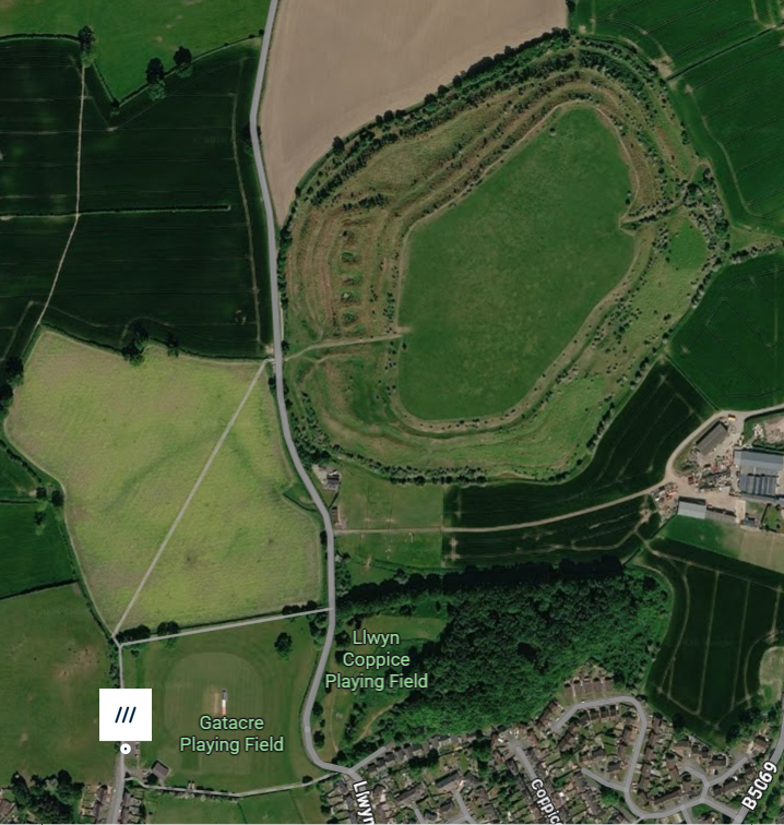
Artist’s impression of Maiden Castle on Bickerton Hill, overlooking the Cheshire Plain to the west, which in an interesting experiment had a clear line of sight to Burton Point. Produced by the Habitats and Hillforts Project 2008-2012. Source: Sandstone Ridge Trust

There is good circumstantial evidence to suggest an Iron Age date for the Burton area.  Burton Point was also well positioned for visual communication with contemporary sites, as discussed by David Matthews in 2006 and Erin Lloyd Jones  in 2019.  A 2011 experiment, the Hilltop Glow event, organized by the former Heather and Hillforts project, demonstrated that Burton Point and reported on the BBC (BBC News March 2011) was one of ten Iron Age hillfort sites (on the Clwydian Range, Halkyn Mountain, the mid-Cheshire Sandstone Ridge, and at Burton Point) that determined which sites could be seen from one another when torches were lit.  The BBC report of the experiment quoted Heather and Hilltops representative Erin Robinson, stating that Burton Point was visible as far away as Maiden Castle at Bickerton Hill, 25km /15.5 miles (shown above), as well as nearer sites on the Clwydian Range.  Burton Point would also have been in the proximity of Iron Age sites 129 and 154  at Puddington Lane in nearby Burton Village, which confirm that a later Bronze Age and Iron Age presence were in this area.  By boat, Iron Age settlements in both Chester and Meols would have been within easy reach:  Iron Age settlement features were found during the excavations of the Roman amphitheatre in Chester; and at Meols a number of Iron Age finds, including coins, have lead to suggestions that Meols may have been a trading port with connections to both north and south along the coast at that time.

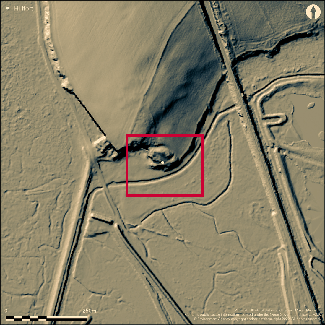
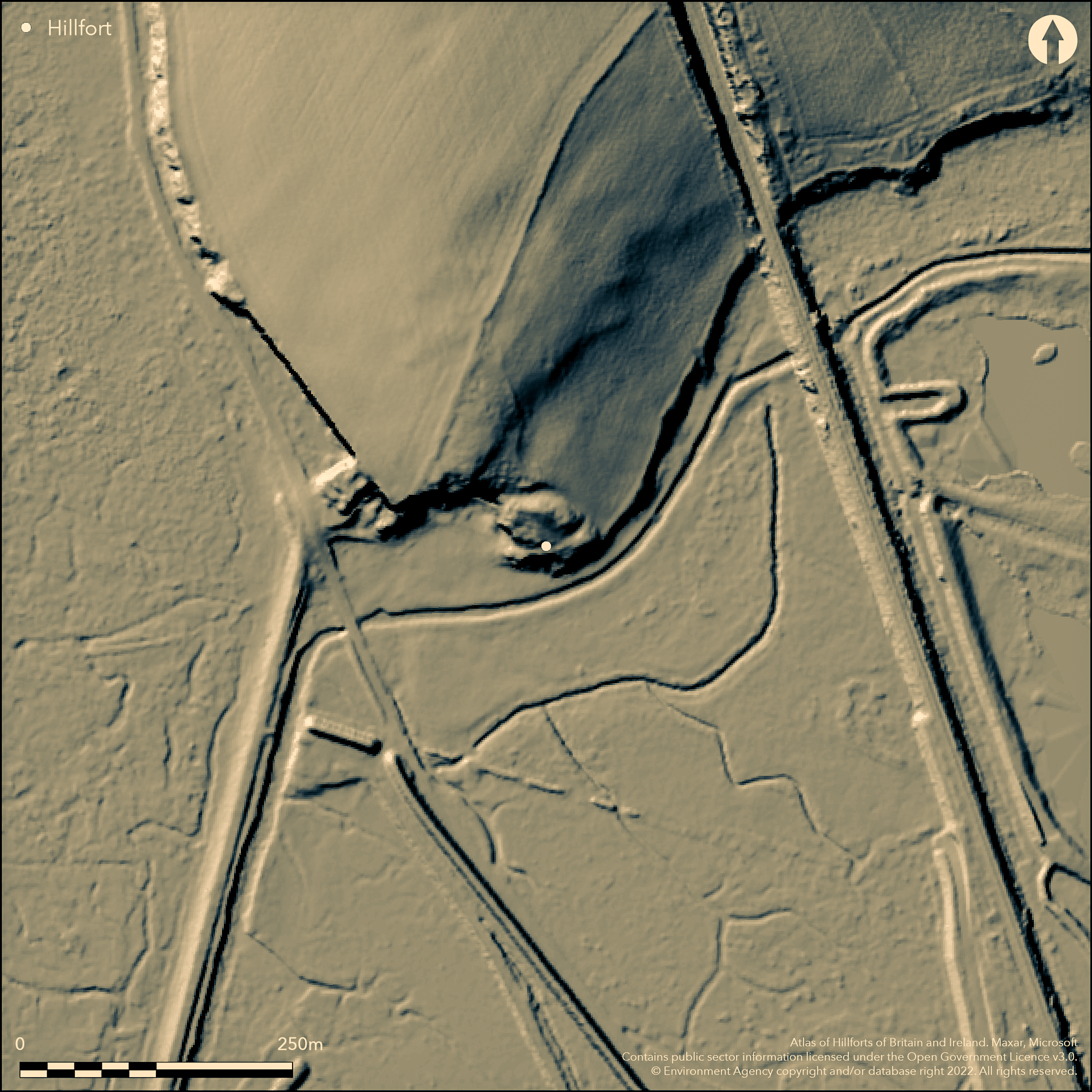
Burton Point LiDAR image from the Atlas of Iron Age of Britain and Ireland (EN3190).

Burton Point LiDAR image from the Atlas of Iron Age of Britain and Ireland (EN3190). The line leading diagonally from northeast to southwest is the footpath leading to the viewing area.

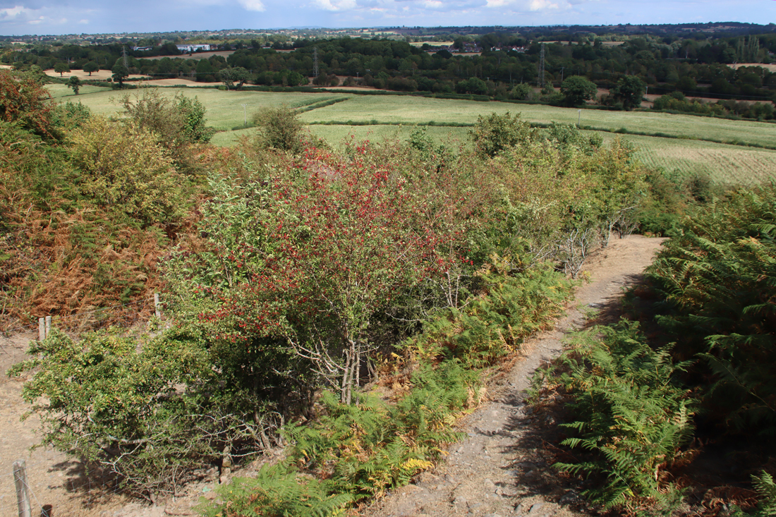
There are however some features that remain puzzling.  If this is supposed to be a settlement on a promontory, separated from the rest of the headland by a bank and ditch, it is remarkably difficult to understand its form from what remains, whether you are overlooking the site, looking up at it from below, or examining maps, LiDAR imaging or aerial photographs.  This is partly due to quarrying and erosion, but also because it is impossible to walk over what remains of the site, which is fenced off.  However, what may have been the Iron Age defences appear to be set below what remains of the headland.  This means that the settlement on the promontory would have been lower than the headland behind it, a strategic disadvantage if the bank and ditch were defensive rather than merely statements of territory or prestige.  On my first visit it seemed  counter-intuitive that this was a promontory hillfort because the defences were only around 20ft above the river bed.  Once the term “fort” is removed from the equation, it is still puzzling, and although a short stretch of bank and ditch were visible, they were below the level at which we were standing on the headland behind the defences, a few feet higher than the defences.  Faint heart never won fair hillfort, so a few days later I parked up near the cycle track that runs around the base of Burton Point and had another look from what would have been the Dee riverbed, from where the headland clearly rises above the level of the defences.  The Mister Drone footage and the above LiDAR image, which I found only later also indicate that the defences were below the headland behind it.

Even so, the bank and ditch may have been more symbolic than actually defensive.  Speculating wildly, if the promontory was occupied for its views or as a trading point, the defences could have been built to control access to and exit from a specialized site.  In this case, or any other function for the site (including domestic settlement) the bank and ditch could have had more to do with a statement of territoriality and prestige than any actual threat.

The surveys  undertaken by the University of Chester (Crawford-Coupe 2005) were unable to provide definitive data to substantiate the proposed dating.  The tangle of tree roots prevented any detection of sub-surface structures.

There are alternative suggestions.  After his visit to inspect the site in November 1950, Professor A.W. Lawrence, thought that the earthworks represented quarry upcast prior to starting a new quarry (Historic England Research Records Monument No.67150).  The same source puts forward the possibility that even if it is accepted that the bank and ditch are defensive, they could represent “a Dark Age Celtic Fort,” partly based on the possibility that the parish name Burton may be derived from Burh-tun, meaning “farm/dwelling by the fort.”  The CHER record (9/1) mentions, without a reference, that “[i]t has been suggested that it maybe the military base of the Dane, Hingamund.”

The site continues to interest those researching the Iron Age and has been mentioned in subsequent reports on other sites, placing it in a wider regional context.  As Crawford-Coupe points out, matters are unlikely to be clarified until an excavation takes place.

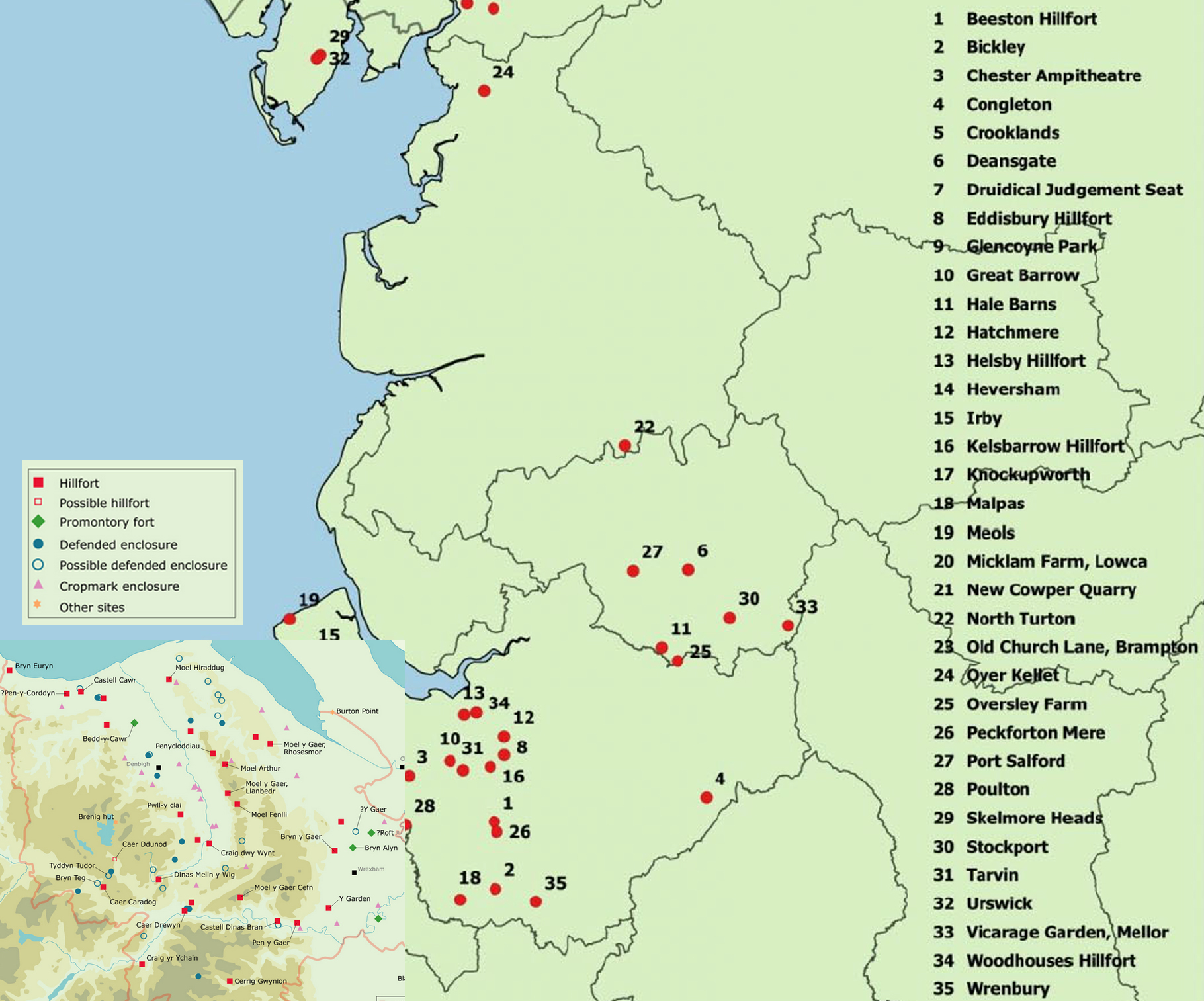
Composite map showing the distribution of Iron Age sites in northwest England and north Wales. Sources: I combined the two maps from Ritchie 2018 and Nevell 2025

Roman

For those wondering whether there may have been a Roman trading post or watchpost here, perhaps part of a network with Meols, both reasonable thoughts given the notable lines of sight on a clear day, a single Roman brooch was found (SMR-no.59).  A single object cannot be extrapolated into a whole site or a particular set of activities but the discovery is still interesting, particularly as there was a find of another Roman brooch (SMR no.56), a fibula-type, in a field opposite Ness Gardens only 1.5 miles / 2.4 km away from Burton Point.  I have not yet found a detailed account or image of either brooch.

Medieval use and quarrying

Flint Castle

Flint Castle on the Dee Estuary, opposite Burton Point

After the site was abandoned in the Roman period, it is thought that it was used for stone quarrying by Edward I for Flint Castle, together with stone from Ness where Edward kept a small garrison.  Most of the stone used for Flint Castle was yellow sandstone, that tends to look rather grey today, but red sandstone that could have been quarried from Burton Point and its vicinity was also used as infill and for some inner stonework.

Richard II’s Cheshire archers are thought to have embarked from Burton Point on the expedition to Ireland in 1399.

Post-medieval land use, quarrying and burials

As has already been mentioned, in the Middle Ages the channel of the Dee is thought to have run up to the base of Burton Point, and there are various records of requests for access to the small headland for mooring, unloading and storage. The University of Chester survey published in 2006 noted a section of wall and some pavings, which may have had something to do with these requests, but it is all fairly ambiguous.

1732 map of the river Dee and estuary showing Burton Point.

1732 map of the river Dee and estuary showing Burton Point. Source: sustainablebeach.co.uk

In 1889 it was reported that 29 burials were found, all interred orientated east to west, with no grave goods.  An east-west burial is consistent with a Christian burial, but that does not narrow it down much.  When the skeletal remains were examined, there were no marks to indicate how they died, which seems to rule out a Civil War explanation, but leaves the possibility of plague or shipwreck.  A shipwreck was recorded for 1637.  Shipwreck victims may or may not have incurred injuries during the wrecking of the ship, but plague would have left no signs at all and would be consistent with such a remote burial, unconnected with a church and consecrated land.


Final Comments

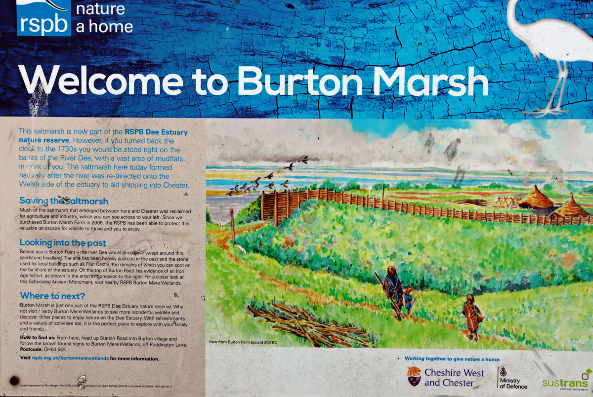
Imaginative reconstruction of how an Iron Age site may have looked

Given that no roundhouses or any indications of palisades have been found at the site, this information sign represents a profound act of imagination based loosely on structures found on other Iron Age sites in the general area.

Partly due to erosion and quarrying that have obliterated most of the site, and partly due to the position of the defences at a level lower than the main headland, the site is not particularly easy to understand as an Iron Age defended promontory settlement.  Nevertheless, it is generally accepted as such, demonstrated by the University of Chester report published in 2006, and its inclusion in discussions of the Iron Age in the area, its presence on distribution maps of Iron Age sites and its inclusion on online Atlas of Iron Age Hillforts in Britain and Ireland.  There do remain questions about the overall plan of the proposed late prehistoric settlement.


Sources 

Books and papers

Britnell, W.J. and Silvester, R.J. 2018. 1. Introduction. In (eds.) Britnell, W.J. and Silvester, R.J. 2018. Hillforts and Defended Enclosures of the Welsh Borderland. Internet Archaeology 48
https://intarch.ac.uk/journal/issue48/7/1.html

Crawford-Coupe, Gary 2006. II. The Archaeology of Burton Point.  Journal of Chester Archaeological Society, new series 89, p.71-90
https://archaeologydataservice.ac.uk/archiveDS/archiveDownload?t=arch-2910-1/dissemination/pdf/JCAS_ns_080/JCAS_ns_080_071-090.pdf

Gregory, Richard A. and Mark Adams with contributions by Denise Druce, Laura Griffin, Chris Howard-Davis, Gwladys Monteil, Elaine L. Morris, Rob Philpott, Ian Smith and Adam Tinsley 2019. Excavation at Two Cropmark Enclosures at Puddington Lane, Burton, Wirral, 2010–2015.
Journal of Chester Archaeological Society, new series 89, 2019, p.1–69
https://archaeologydataservice.ac.uk/archiveDS/archiveDownload?t=arch-2910-1/dissemination/pdf/JCAS_ns_089/JCAS_ns_089_001-070.pdf

Griffiths, David., Robert A. Philpott, Geoff Egan and contributors 2007. Meols, the Archaeology of the North Wirral Coast. Oxford University School of Archaeology: Monograph 68: Institute of Archaeology, University of Oxford.
https://archaeologydataservice.ac.uk/archives/view/meols_sal_2007/downloads.cfm

Lloyd Jones, Erin 2019. Connections between the hillforts of the Clwydian Range and the wider landscape. Unpublished PhD, Bangor University
https://pure.bangor.ac.uk/ws/portalfiles/portal/22607372/2017_Jones_EL_PhD.pdf

Matthews, David J. 2006. Mapping hillfort intervisibility and its potential to define Iron Age tribal areas in the northern and mid Marches. Unpublished MA Thesis

Matthews, Keith J. 2001. The Iron Age of Northwest England: A socio-economic model.  Journal of the Chester Archaeological Society 76, p.1-51
https://www.academia.edu/900876/The_Iron_Age_of_North_West_England_A_Socio_Economic_Model

Morgan, Victorian and Paul Morgan 2004.  Prehistoric Cheshire. Landmark Publishing

Nevell, Mike 2025. Northwest Regional Research Framework: Later Prehistory
https://researchframeworks.org/nwrf/resource-assessments/later-prehistory/ 

Philpott, Robert A. and Mark H. Adams and contributors 2010.  Irby, Wirral.  Excavations on a Late Prehistoric Romano-British and Medieval site 1987-96.  National Museums Liverpool

Ritchie, Matt 2018.  A Brief Introduction to Iron Age Settlement in Wales. Internet Archaeology 48. https://intarch.ac.uk/journal/issue48/2/1.html

Silvester R.J. 2018. 4. North-east Wales and the Cheshire borderlands. In (eds.) Britnell, W.J. and Silvester, R.J. 2018. Hillforts and Defended Enclosures of the Welsh Borderland. Internet Archaeology 48
https://intarch.ac.uk/journal/issue48/7/toc.html

Wilmott, Tony and Dan Garner 2018. The Roman Amphitheatre of Chester, Volume 1: The Prehistoric and Roman Archaeology. Oxbow Books

Websites

ARCHAEOdeath
The Archaeology of Burton Point: The Heritage Open Day at Burton Mere RSPB
https://howardwilliamsblog.wordpress.com/2022/09/16/the-archaeology-of-burton-point-the-heritage-open-day-at-burton-mere-rspb/

Atlas of Hillforts in Britain and Ireland
EN3190 – Burton Point.  Gary Lock and Ian Ralston 2012-2016
https://tinyurl.com/mrxeu34s

Based In Churton
Exploring Maiden Castle Iron Age Hillfort, Bickerton Hill (mid-Cheshire Sandstone Ridge)
https://wp.me/pcZwQK-8Az
Sunshine, archaeology and great views at Caer Drewyn Iron Age hillfort at Corwen
https://wp.me/pcZwQK-4ft
Hillforts and amazing views – and why is there an Egyptian temple on the top of Moel Famau?
https://wp.me/pcZwQK-9dE
The fabulous nature reserve at the RSPB’s Burton Mere Wetlands
https://wp.me/pcZwQK-7QS

BBC News
North Wales Hillfort Test of Iron Age Communication
https://www.bbc.co.uk/news/uk-wales-north-east-wales-11832323

Heritage Gateway
Historic England Research Records Monument Number 67150.  
https://www.heritagegateway.org.uk/Gateway/Results_Single.aspx?uid=67150&resourceID=19191

Historic England 
Promontory fort on Burton Point 550m south west of Burton Point Farm
https://historicengland.org.uk/listing/the-list/list-entry/1013298?section=official-list-entry

Mister Drone UK
Burton Point, Iron Age Fort Remains search by drone
https://www.youtube.com/watch?v=t9izFQLB148

Northwest Regional Resource
Introduction: The Later Prehistoric Resource. 1200BC-43AD. Compiled by Michael Nevell, with contributions.
https://researchframeworks.org/nwrf/resource-assessments/later-prehistory/

A Sustainable Vision for Hoylake Beach
The Curious Case of the Cheesemongers (for the very useful 1732 map of the Wirral)
https://sustainablebeach.org.uk/index.php/evidence-and-data/library/the-curious-case-of-the-cheesemongers/


The view across to Wales

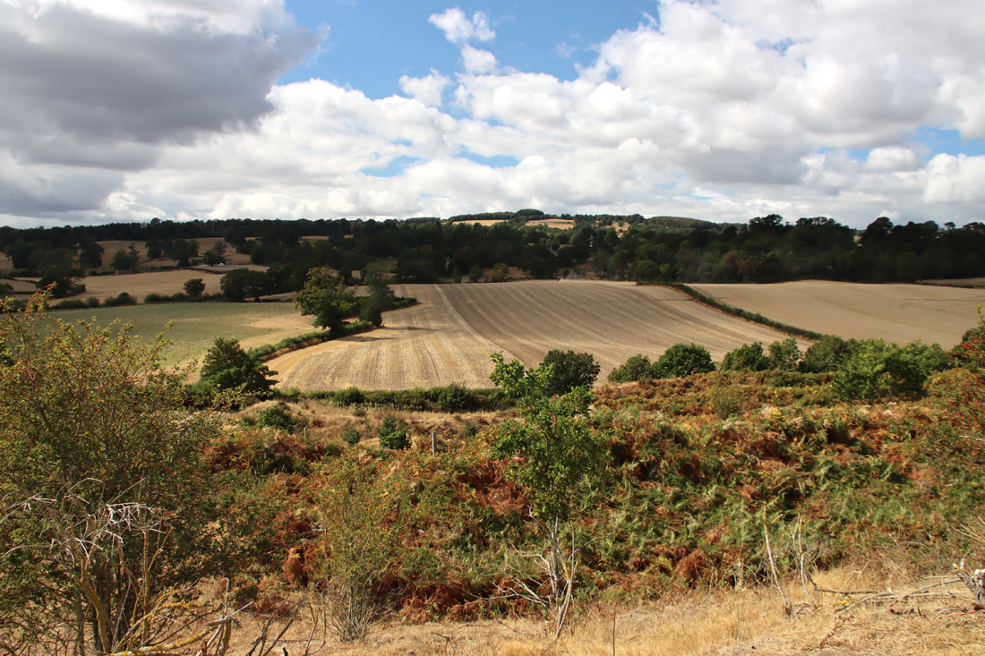
The view across to Wales from the foot of Burton Point

A sunny spring canal walk south from Waverton to Golden Nook Bridge

Waverton to Golden Nook Bridge

Waverton to Golden Nook Bridge

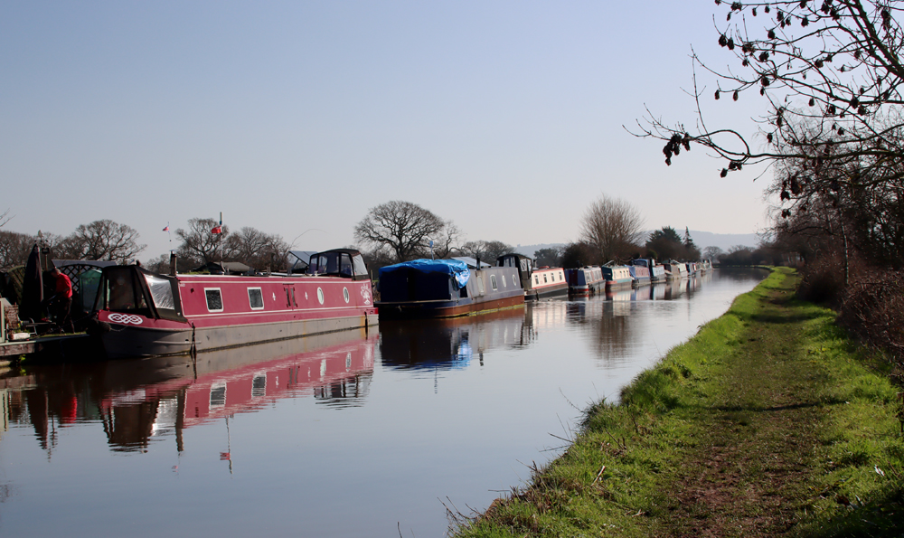
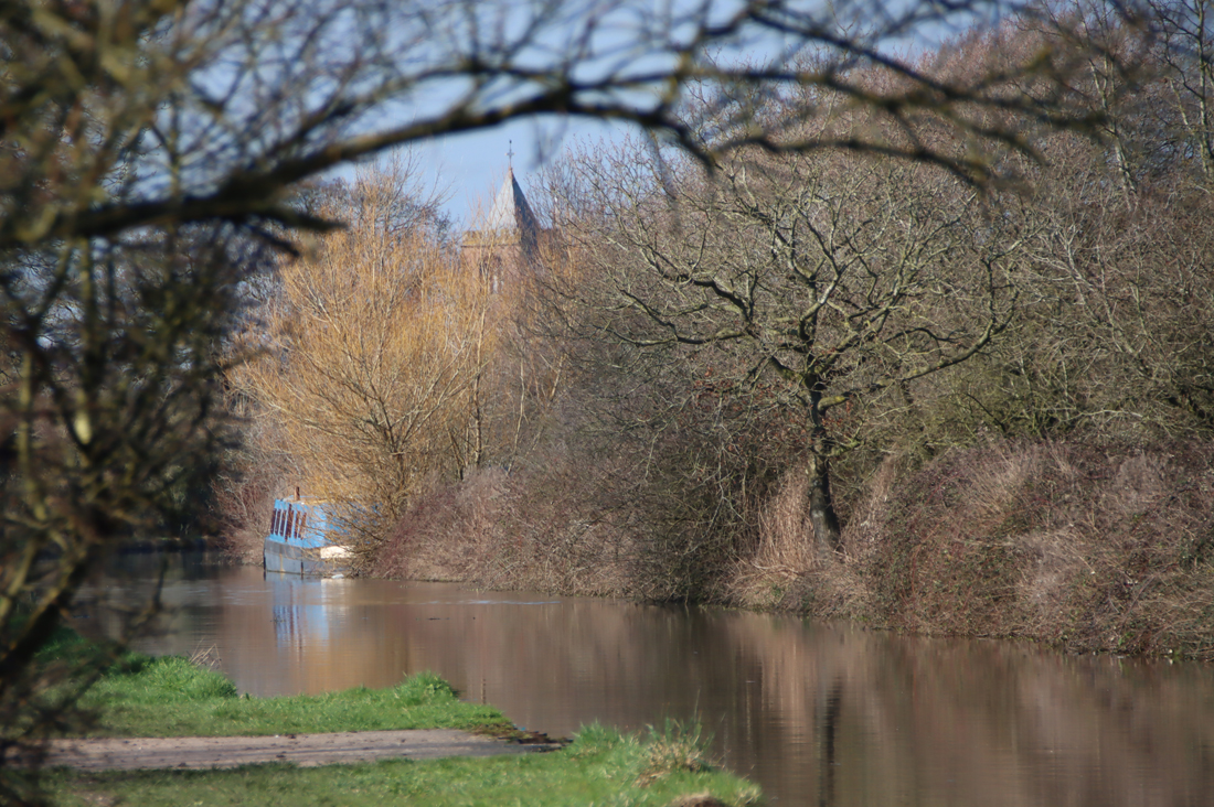
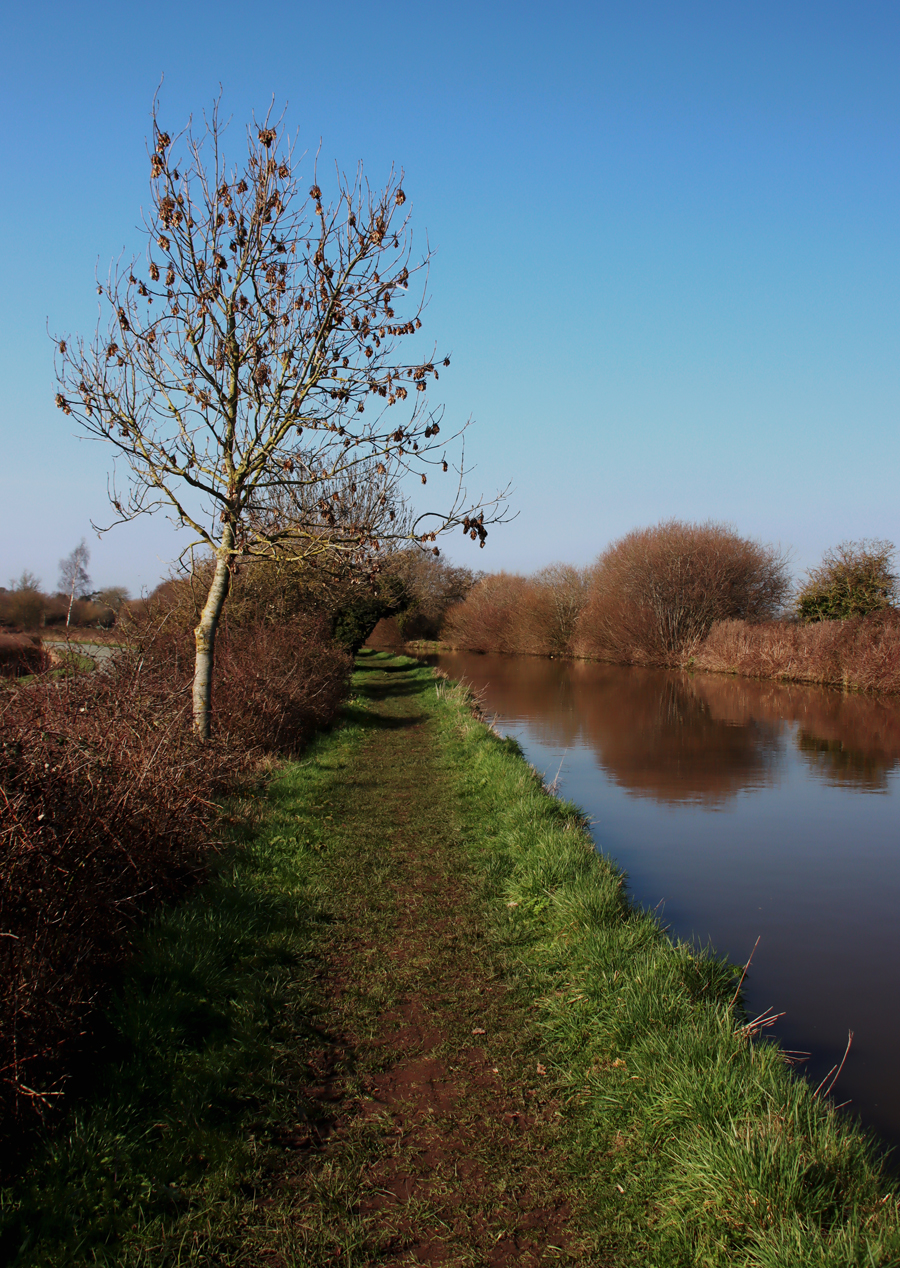
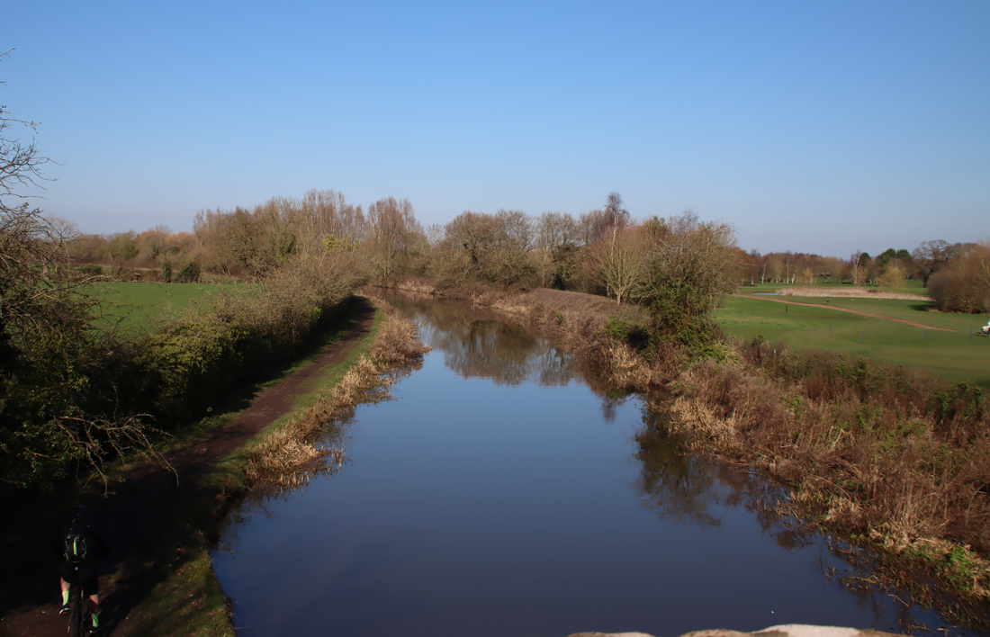
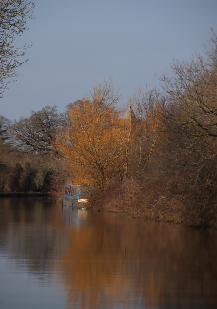
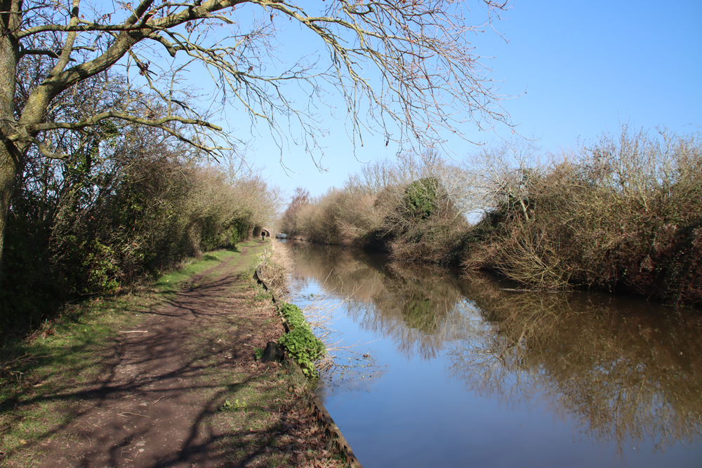
In late October last year I took advantage of a beautiful sunny day to walk the towpath along the Shropshire Union canal from Waverton towards Chester, which I posted about here.  A couple of days ago the sky was clear and the sun was out, so I grabbed my rucksack and some damp-proof footwear (needed, as it was distinctly soggy underfoot) and headed out to do the section of the canal between Waverton and the wonderfully named Golden Nook Bridge, near the village of Hargrave, to its south. It took about an hour and a quarter each way at a brisk pace, stopping to take photos and chat to other walkers.  It was a rewarding walk, even at this time of year when there were only a few signs of spring beginning to make its mark.  Because of the season, the light meant that the walk provided two different experiences, there and back, with a silvery, ethereal light on the way out and a much more colourful walk on the return leg.  The birdsong was particularly lovely, and I have added a 36-second video at the end that was done purely to catch something of that sound.  I was lucky enough to see a kingfisher, a flash of bright orange as it settled on a branch followed by a flash of bright, electric blue as it took off.  It was too fast for me to photograph, but an absolute treat to see.
Waverton is just off the A41, so very easy to reach.The car park is quite small, with a capacity for about 20 cars, but at 11am there were only a few other cars parked up.  The What3Words address for the car park is ///fingertip.snored.deals.

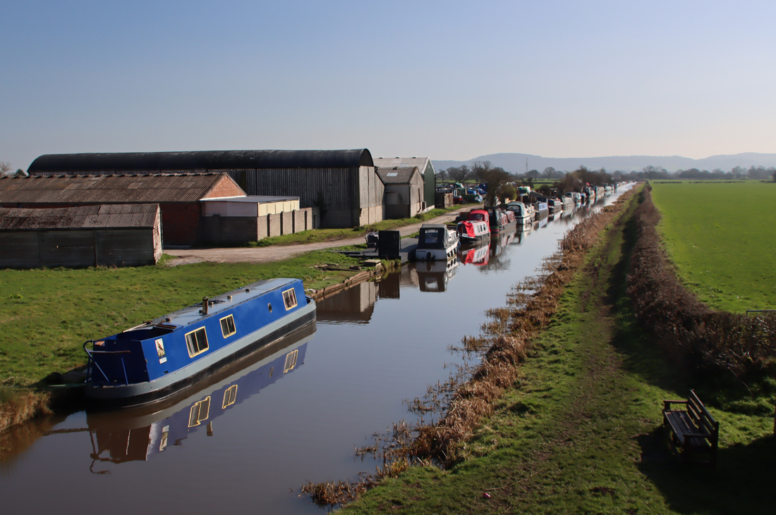
To start the walk walk from the car park to the canal, just a few steps away, and turn right, heading south.  During the first couple of minutes the canal passes homes on the other side of the canal.  There is a section where it passes a golf course on the opposite side, but it is soon a very rural route with open fields flanking the canal.  Long Lane suddenly appears to the right as you walk south, the quiet stretch of road running parallel to the canal.  Shortly after this, official moorings begin on the other side of the canal, with a line of narrow boats and small cruising boats as far as the eye could see.  I stopped at Golden Nook Bridge and turned back, but the moorings presumably continue all the way to Tattenhall Marina.

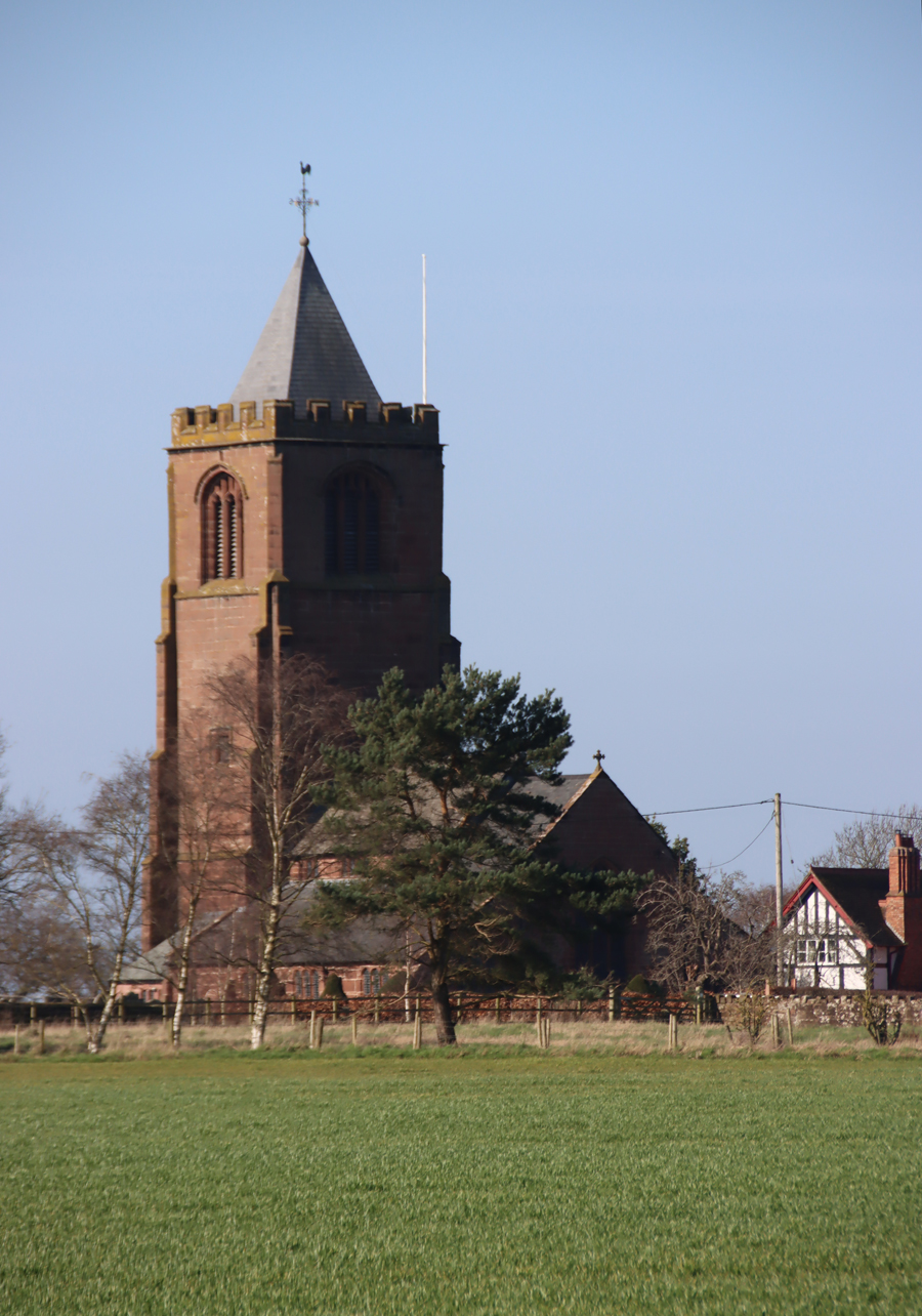
St Peter's Church, Waverton

St Peter’s Church, Waverton

In total, there and back, the walk took about 2 1/2 – 3 hours, all on the flat.  Unlike the section towards Chester this part of the towpath is not metalled, and can be very uneven underfoot with tree roots and stones poking through.  It was also quite muddy after several weeks of rainfall.


View from Golden Nook Bridge and beyond to the sandstone ridge

View from Golden Nook Bridge and beyond to the sandstone ridge


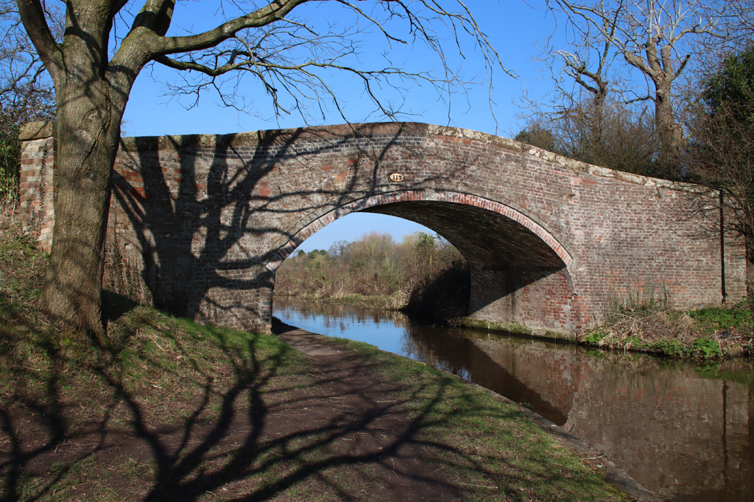
Golden Nook Bridge, looking from the south and returning towards Waverton

Golden Nook Bridge, looking from the south and returning towards Waverton


36 seconds of birdsong from one of the canal bridges, taken on my smartphone.  There is a little interference from the breeze, but you can hear the birds giving forth wonderfully.


Big Garden Birdwatch 23rd- 26th January 2026

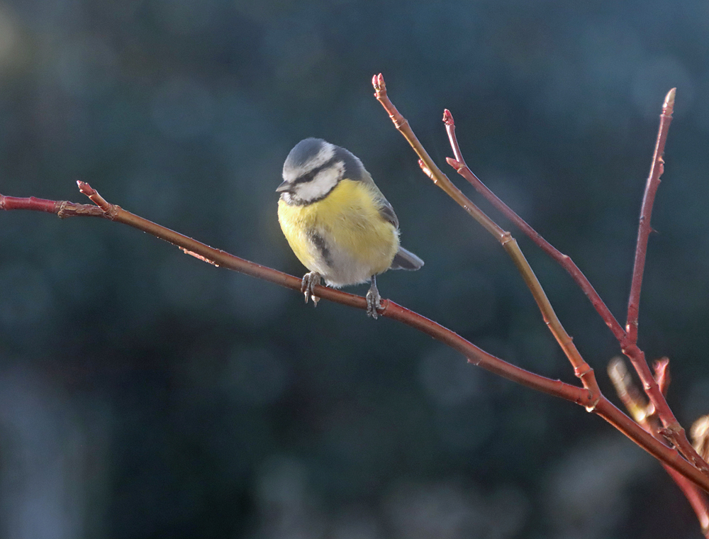
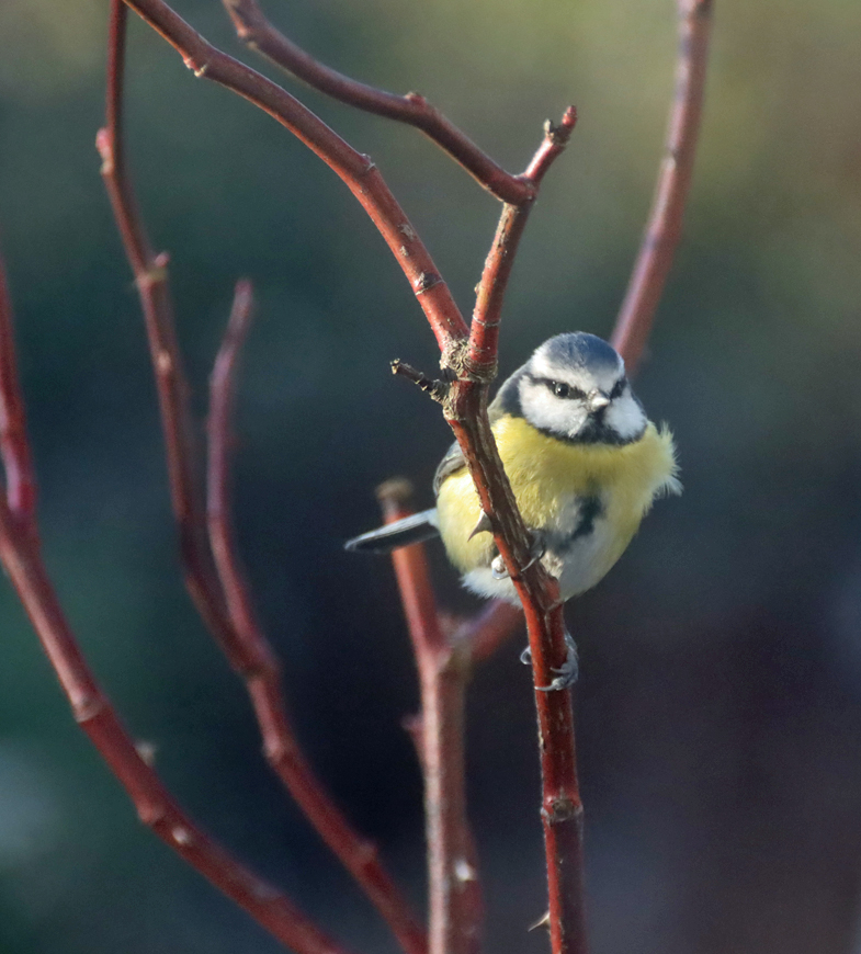
Blue Tit on a rose bush in my garden, January 2026

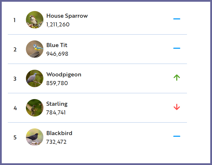
I have been doing the RSPB Big Garden Gardenwatch for about 10 years, but it has been going since 1979, collecting the same data each year so that the analysis of birds can be sensitive to time as well as geography, charting alterations in bird populations throughout the UK.  These changes can be considerable.  As climate change impacts both regional and highly localized environments, the distribution and numbers of different animal and plant species alter accordingly.  Overall the UK has lost 38 million birds in the last 60 years, and although House Sparrows were the “most spotted” bird during 2025, comparing actual numbers with previous years shows that this figure is down 64% since 1979. This means that House Sparrows are now on the red list, which is the highest level of conservation concern.

Most spotted in 2025

Most spotted in 2025, from the current Birdwatch webpage

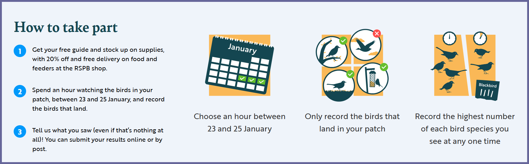
You can enter your results online or by post, making it very easy to participate.  Instructions for participating are at the Big Garden Birdwatch page here, but it’s a simple task. On either 23rd, 24th or 25th January simply select a convenient hour to do some birdwatching in your garden, local park or wherever you settle yourself down.  The idea is to count only the maximum birds you see at any one time in that hour, and only those that land, not birds flying overhead.  You can download the bird identification sheet in English or Welsh here.


I’ve always vaguely wondered  why the survey is done in the winter, when we would all rather be tucked up indoors, but the answer makes a lot of sense:

Because that’s the time of the year garden birds need us most – if it’s really cold, it’s likely more birds will come into our gardens looking for shelter and food. This makes is easier to count the birds. Because the Birdwatch takes place at the same time every year, we can look back through the years to see if anything has changed.

I will be doing mine from the nice, safe warmth of the kitchen, from where I can watch the bird-feeders and the birdbath without suffering from hypothermia!

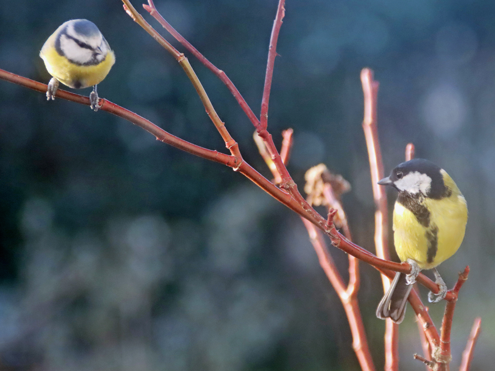
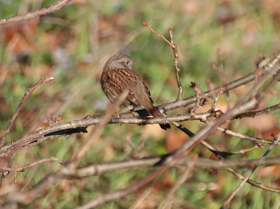
Most of the birds taking advantages of the bird feeders are small – blue tits, great tits, sparrows, the occasional dunnock, a few long-tailed tits, and quite a few very shy chaffinches.  It is impressive how the sparrows and chaffinches are so at home on the bird feeders, not as gymnastic as the tits, but perfectly happy perching on the outer cage.  Black birds and collared doves, and even some of the local community of jackdaws and the occasional magpie scavenge underneath the feeders because the small birds are all messy eaters and drop a lot.

Unexpectedly, a couple of weeks ago I was in the kitchen making a coffee and looked out of the window to see a Great Spotted Woodpecker, at first hanging nearly upside down on one of the bird-feeders but making a really good job of arching its neck around to get at the mixed sunflower hearts, dried mealworms, suet pellets and peanuts, before it adjusted itself into a more convenient upright position.  Gorgeous.  It has been back several times since, always on the bird feeder furthest from the house.  It answers the very puzzling question of why the bird feeder at the far end is always emptied much more quickly than the others, as the small birds don’t seem to mind where they feed.  I could never have imagined a more efficient vacuuming operation. I’ve heard it in my neighbour’s garden throughout the summer, tapping away at a tree, but only had fleeting glimpses of it.

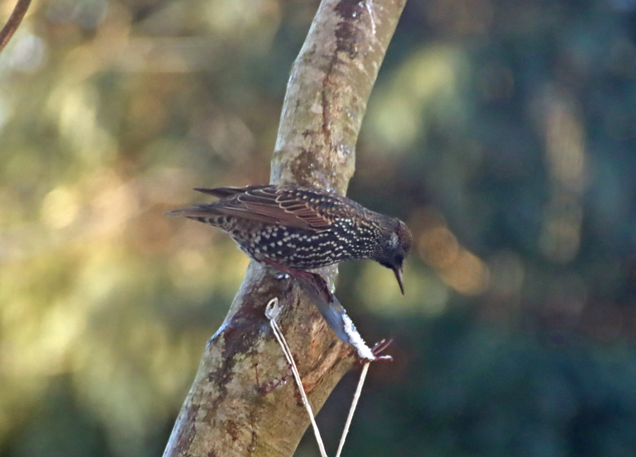
Most of my birdfeeders are like the one in the above woodpecker photo, but I have had great success with some very ugly ones that stick to windows with suckers, particularly with the robins and sparrows.  I take all the bird feeders down during the course of early spring, one at a time, so that my winter visitors return to fending for themselves, passing on their natural foraging skills to their young, so on the whole I don’t mind a bit of ugliness over the winter.  The window feeders supply the birds that don’t do well on the hanging feeders, particularly robins and sparrows, but the tits and finches also enjoy them.  A more surprising visitor is a single starling, which simply cannot get the knack of the hanging feeders.  I have never seen starlings in the garden before.  It is almost impossible to take a good photograph of anything in the window feeders, thanks to the suckers and the general mess that the birds somehow manage to make, but here’s my  visitor, taking up all of the available space.

Snowy fields, copses and lanes between Churton and Aldford

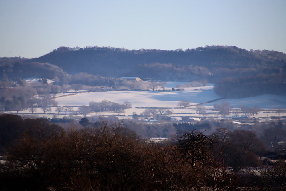
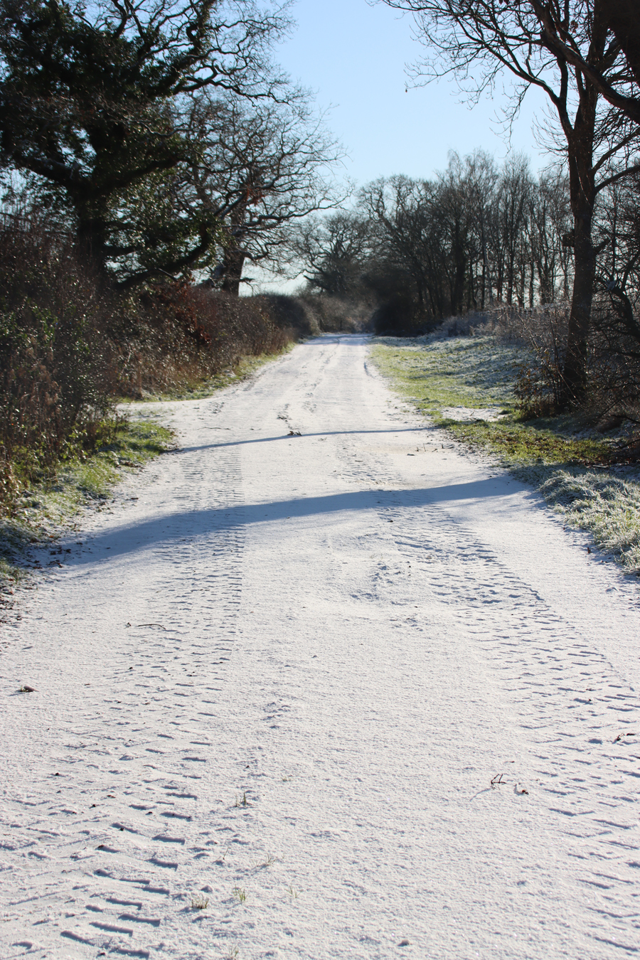
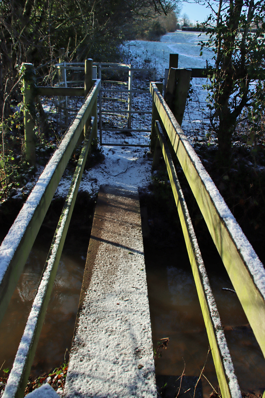
This is a pretty-pics post.  It was a beautiful sunny January day today, after quite a lot of snowfall overnight.  My garden was smothered in snow, and the car was fully shrouded.  Even so, the sunshine was very warm and it was beginning to melt when I left the house at something past 11am, heading for Aldford and returning via the Roman Road (marked on the map at the end as Churton by Aldford FP9), making a good circuit.  The views across the snow-covered fields to the hills to the east and west were lovely, but as always on these snowy walks, sometimes it is the close-up detail that is most lovely.

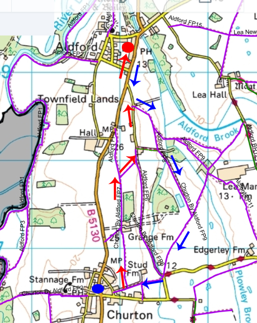
There is a map showing the route at the end. The whole walk, there and back, takes about an hour and a half, perhaps two hours if you are strolling rather than keeping up a brisk pace.  To see what much of the same walk looked like in April 2021, here’s the earlier post.  For those who like to include a destination on their walks, Churton has the attractive White Horse public house, and Aldford has the larger and venerable Grosvenor Arms.  Both do good food and are warm and comfortable.

If you are interested in the Roman road, it is marked as Churton By Aldford FP9 on the map at the end, along the blue arrow return section of the walk, and I have posted about the road and the walk along the road, in two parts, starting here.

View over the fields to Beeston Crag and the medieval castle

The Welsh foothills

The Welsh foothills


The Grosvenor Arms, Aldford

The first section of Roman road

A much clearer section of the Roman road, well used by farm traffic

The route taken from Churton to Aldford (red arrows) and back (blue arrows). The red dot marks the Grosvenor Public House, and the blue dot marks the White Horse. Source of map: Cheshire West and Chester Public Map Viewer.


A stunning late autumn sun-filled walk at Bickerton Hill, with lovely views

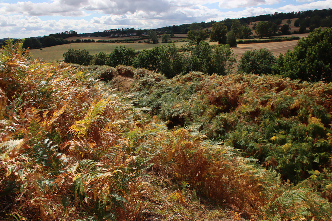
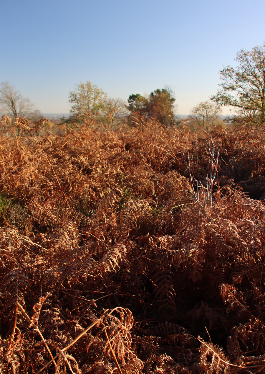
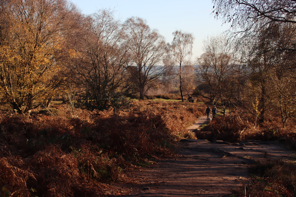
On Tuesday I took advantage of the beautiful sunshine, wrapped myself up like the Michelin Man, and went on an Iron Age hillfort hunt – Maiden Castle on the National Trust’s Bickerton Hill, to be precise.  The hillfort is, as they often are, rather easier to get to grips with from the air and in plans and illustrations, but it was still really good to see it on the ground.  I have written up Maiden Castle on a separate post here.  The real joy of the day were the deep blue skies and the slanting late autumn sunshine as it cut through the spectrum of reds, copper-oranges and yellows, and put a great golden spotlight on the bright, emerald green of the Cheshire plain below.  Utterly stunning.
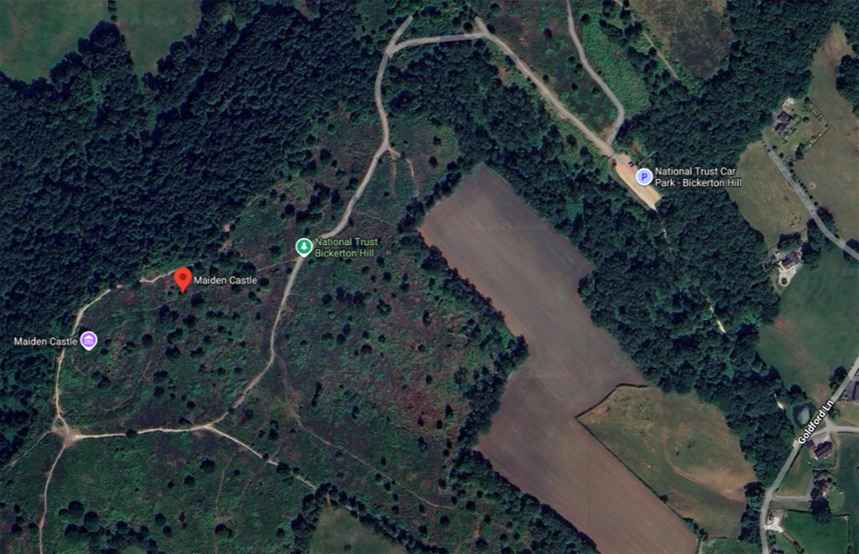
The walk leads from the car park up to the ridge that overlooks most dramatically across the west Cheshire plain towards the Clwydian Range, with views too across east Cheshire.  I walked up from the Goldford Lane car park, a gentle slope across red sandy soil and sandstone slabs to the ridge, and then walked first in one direction towards and beyond the hillfort, and then retraced my steps to go along the ridge in the other direction, before returning to the car.  An alternative is to do one of a number of circular walks, one of which is shown below.  Whichever route you take, it is really spectacular on a sunny autumnal day.  Visiting details at the end.


Click to enlarge

Google Map of Bickerton Hill and Maiden Castle

Google Map of Bickerton Hill and Maiden Castle

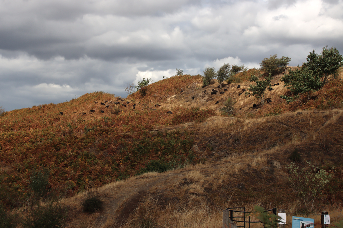
The hill was designated a Site of Special Scientific Interest (SSSI) in 1979.  Interestingly (and unfortunately) the former heathland environment underwent ecological change when cattle and sheep ceased to be  grazed on the hill during the 1950s, allowing birch, oak and endless swathes of bracken to gain a foothold, killing off the natural bilberries and heather.  Although very beautifully copper-coloured in the autumn sun, the bracken, Pteridium aquilinum, has a number of worrying ecological downsides to it, described here on the “Moorland Association” website.  Most of the silver birches and oaks are still very young, but in places the silver birch in particular forms dense clumps.  The National Trust has now initiated a project of long-term work to re-establish large areas of heathland on the hill.


Bickerton Hill nature conservation

Bickerton Hill nature conservation

Visiting is easy.  The hill is just south of the main Wrexham-Broxton-Nantwich road (the A534). There are two car parks, one on either side of the hill.  I used the one off Goldford Lane, which is a large free parking area, with a shallow slope uphill towards the ridge.  The What3Words location is ///device.emulating.upwardly.  The National Trust page for the site can be found at: https://www.nationaltrust.org.uk/visit/cheshire-greater-manchester/alderley-edge-and-cheshire-countryside/things-to-do-at-bickerton-hill#rt-visit-maiden-castle.

You can download a leaflet about the hill and the hillfort here, including what looks like an excellent walk taking in Brown Knowl, on the Cheshire Sandstone Ridge website: https://www.sandstoneridge.org.uk/lib/file-323329.pdf
The geology of the sandstone trail can also be investigated on the Cheshire Sandstone Ridge website at: https://www.sandstoneridge.org.uk/geology.html
My video from the top of the ridge:


A very beautiful autumnal sunshine walk along the Wirral estuary from Burton to Parkgate

Bird of prey, Burton, Wirral

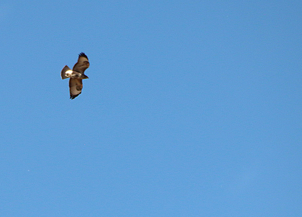
Beautiful feathers on a bird of prey, possibly a kestrel, at Burton, Wirral

Yesterday seemed, at first, to have been doomed from the off, but after an unpromising start, instead of the planned expedition I found myself grabbing the camera and car keys before heading up the Wirral to Burton to park up along the estuary and go for a very fine walk along part of the Wirral section of the King Charles III England Coast Path.  I hadn’t even parked when I saw the above bird of prey, possibly a kestrel, which politely held position whilst I scrambled out of the car.  A perfect way to turn around a failed start to the day.

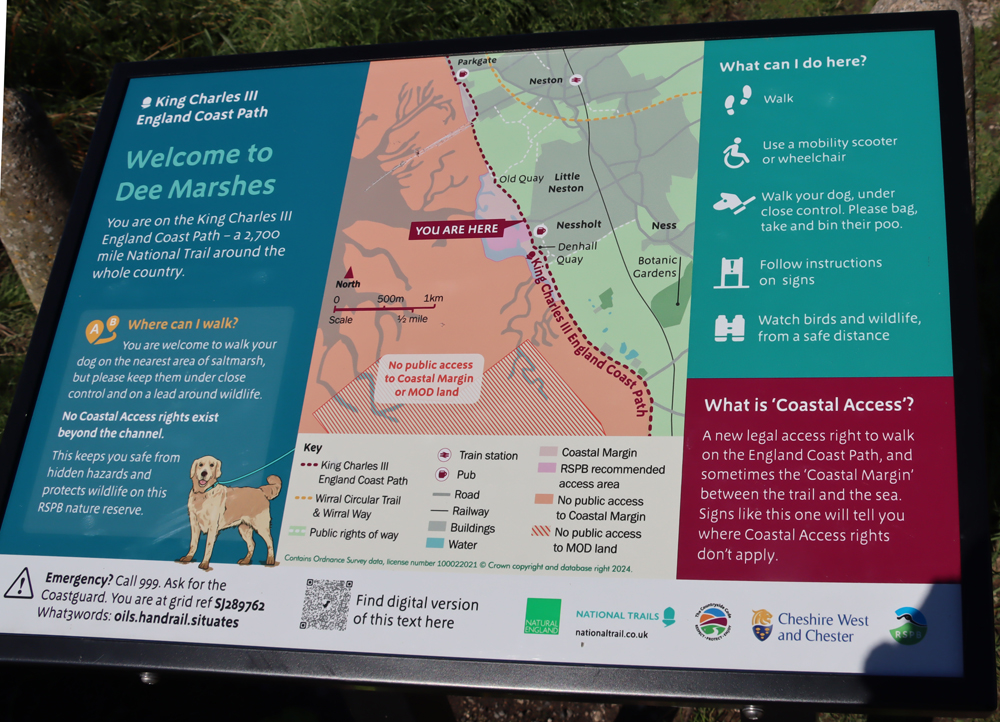
I had previously made a short visit to the estuary cycle track and walk in the past, simply to get a good look at the purported Iron Age promontory fort on Burton Point, but although it was enjoyable, it was a short stroll because the skies opened and I got drenched.  Today, with no risk of rain, I decided to walk from Burton towards Parkgate, which I guessed to be about an hour’s walk each way.  When I reached the “You are Here” board (with which the walk is dotted at key points) at Moorside, alongside Parkgate Spring and on the very edge of Parkgate, this was a full hour.

Parking is easy along the section of Station Road that lies along the estuary for the Burton to Moorside (near Parkgate) section of the "King Charles III England Coast Path"

Parking is easy along the section of Station Road that lies along the estuary for the Burton to Moorside (near Parkgate) section of the “King Charles III England Coast Path” (What3Words: ///glows.lung.headsets). Source: Google Maps

Parking for this particular walk is along the section of Station Road that runs along the side of the estuary, indicated by the red circle on the map.

The walk itself begins along the section of Denhall Lane that turns along the side of the estuary and passes a café, as indicated by the black arrow on the map.  Although vehicles are permitted as far as the café (just beyond the left edge of the map), they are banned beyond this point.

This first stretch of metalled lane is dominated by dog walkers and cyclists. Do keep an ear open for the cyclists as they can pick up a lot of speed along the lane and don’t always give a lot of notice of their impending arrival.  The path goes through various changes.  After some time it parts from the lane and becomes much more of a footpath with rough stone underfoot, which probably accounts for why the cyclists vanish from the scene at this point.  At one stage it becomes a track across a field, although there is a route around this in wet weather that diverts inland for a while.  The entire walk is well maintained with pedestrian gates and bridges where needed.  One field had horses in it, so do take care if you are walking dogs.

Scenically, the walk is always split between two different experiences to left and right.  The views across both wetlands and former wetlands to the Welsh foothills to the southwest are lovely on a sunny day, and you can keep an eye open for bird life.  On the other side of the path, immediately hugging its edges, there is an almost uninterrupted run of very fine hedgerows and trees.  At this time of year there is not a great deal to see on the estuary, although I was delighted to see lovely white egrets in a distant blue pool, as well as a couple of birds of prey hovering splendidly overhead. Most of the flowers in the estuary have gone over, but the autumnal leaves, berries, rose-hips and other fruits of the shrubs and hedges and the multiple colours of the changing leaves on trees along the paths were endless and superb, really gorgeous against a blue sky with the sun shining on them.

xxx

Nearing Neston I spotted a line of vast red sandstone blocks extending out into the estuary vegetation, and a small spur of land also extends out at this point.  An information board explains that this is part of the Neston Colliery, Denhall Quay.  There is a particularly good book about the collieries, The Neston Collieries, 1759–1855: An Industrial Revolution in Rural Cheshire (Anthony Annakin-Smith, second edition), published by the University of Chester, which I read and enjoyed a few years ago.  The sandstone blocks are massive, and as well as retaining original metalwork, one of them has become a memorial stone, as has one of the trees on the small spur of land.  The line of sandstone, now a piece of industrial archaeology, is a very small hint of the extensive work that once took place here, but is an important one.  The author of the above-mentioned book refers to it in a short online page here, from which the following is taken:

There are still some signs today of the old mining operations. Most prominent is Denhall Quay, the remains of which still jut out into the Dee Estuary. This was built in 1791 and was used to ship coal to North Wales, Ireland and occasionally to foreign countries, as well as inland via newly-built canals.  Also, if you know where to look it is possible to trace the location of many of the shafts that were once in use, including one hidden behind a brick wall in Riverside Walk. Easier and arguably more rewarding to find is The Harp Inn! The building was standing in the mines’ earliest days and records show it was a public house for the miners no later than 1813 and probably much earlier. It has several photos on its walls from the mines’ later days.


This is the point that I turned around and walked back. The image immediately above the  map shows point where the Parkgate Spring emerges, very audible but  not actually visible.


xxx

There are very few places to sit down along the walk, so I would recommend that if you need to rest your legs occasionally, you take your own portable seating.  Regarding refreshments, I have mentioned Net’s Café, near the Burton end.  I haven’t visited and apparently there’s no website, but it is just off Denhall Lane and it is listed on Trip Advisor here.  There is also a very good pub called The Harp, which I actually have visited, with outdoor tables immediately overlooking the wetlands towards the Welsh hills, just outside Little Neston.  The food being served there looked excellent, and I can give a solid thumbs-up for the cider.  The pub was particularly well situated for my return from Parkgate as the zoom lens on my camera, a particular beauty that has been worryingly on the twitch for weeks, suddenly stopped working and was now, just to ram home the overall message, rattling.  A glass of cider and a seat in the sun were perfect for jury-rigging the wretched thing so that the zoom now worked like an old-fashioned telescope and the camera’s autofocus, which was refusing point-blank to engage in conversation with the lens, could be operated manually on the lens itself.  Sigh.  New lens on order.

If you can do this walk in September when the berries are at their best, do take the opportunity, because it is stunning, particularly on a sunny day.  And all on the flat too, so entirely appropriate for unwilling legs.
xxx


The fabulous nature reserve at the RSPB’s Burton Mere Wetlands

Flying Canada Geese at the RSPB's Burton Mere wildlife reserveWhen I got up this morning and saw what a beautiful day awaited, I decided on the spur of the moment to go to the RSPB nature reserve on the Dee estuary at Burton.

Burton village, well-kept and firmly manicured, is located on the southwest of the Wirral, about 20 minutes drive out of Chester, an area now better known for giving its name to the nearby wetlands.  The wetlands are divided into two separate entities.  The first is the splendidly well organized and laid out nature reserve operated by the Royal Society for the Protection of Birds (the RSPB) which was specially set up for the benefit of birds and bird watchers, but accommodates general visitors too.  There is also a route through the wetlands on the far side of the RSPB reserve, and extending well beyond it, which is the Sustrans route number 568, developed for cyclists but welcoming walkers. It crosses the wetlands from Connah’s Quay, meeting the Wirral peninsula at just above Burton Point, and continuing on to Neston.  They provide two very different but both marvellous experiences of the wetland scenery.  I have already posted a short piece about my short visit to the Sustrans cycle and walking route in the Burton Point area, although I want to walk the whole thing eventually.

Greylag goose at the RSPB's Burton Mere wildlife reserve


A lapwing stretching its wings, whilst a common sandpiper stands by unimpressed

A lapwing stretching its wings, whilst a common sandpiper stands by unimpressed

The RSPB wetland reserve

Greylag geese with their bright orange beaks at the RSPB's Burton Mere

Greylag geese with their bright orange beaks at the RSPB’s Burton Mere

Several miles of wetland are enclosed within the RSPB reserve, which attract thousands of birds of many different species, with the river Dee invisible along the far edge of north Wales. The canalization of the Dee, completed in 1737, completely changed the environmental conditions of this part of the estuary, forcing the river to run along the Welsh edge of the estuary.  The canalized channel of the Dee is not visible from the nature reserve, but the miles of wetland are lovely.  There are huge expanses of pond and small lake, as well as flooded wetlands in the distance.  On a bright day with blue skies overhead it is gorgeous.  The reserve backs on to farmland at the rear, includes a woodland walk, and has a very attractive red sandstone railway bridge crossing the tracks below and even boasts the remains of an Iron Age hillfort which, if somewhat puzzling as an archaeological entity, has lovely views along the estuary towards Hilbre Island and across to north Wales.


xxx

For bird watchers there is an enclosed viewing room where the ticket office is located, and throughout the reserve there are coverts and hides like the one above, all of them with benches, and all with windows suitable for both seated and standing visitors, and there are also viewing screens  and viewing platforms dotted throughout.

For less specialist visitors there are some splendid wending walks through the reserve, where water-loving plant and tree species abound, many in flower or producing berries at this time of year, and all providing a myriad of colours and textures over a base of deep greens and rich browns, which provide excellent resources for insect life.  The plants are so dense that where there is water running beneath boardwalks the water is scarcely visible.


The walks are all nice and even underfoot, many of the boardwalks coated in wire mesh to prevent them becoming slippery, and it is all beautifully maintained.  Being located on the side of the estuary, the nature reserve is nearly all on the flat.  All the main walks are wheelchair friendly, as are the hides and coverts.  There are actually four miles of signposted walks, as well as the woodland walk, which takes about half an hour.  There are plenty of benches dotted around for a moment of relaxation and contemplation.  Burton Point, at the furthest end of the nature reserve, is a tiny headland, which involves walking a short way up a slight slope and an informal footpath, and offers some great views along the estuary.  It is supposed to be the site of a small Iron Age promontory hillfort, but the evidence for this is difficult to see, although an interpretation sign does its best to offer a visualization of how it may have looked.

Even if you are not a regular bird watcher, the water birds are fascinating.  There are plenty of information boards showing what you are likely to see, and there is a whiteboard in the reception area showing a list of what has been spotted on a given and previous days.  Binoculars and cameras with enormous lenses (one of them in camouflage colours!) were very much in evidence and I soon found at why – my nice all-round lens, a 28-300mm zoom, was struggling desperately at its top end, and something much more powerful would have been helpful.  Do note that you can hire or buy binoculars from the reception area to get a better view of what birdlife is spending its time on the wetlands.   At this time of year the geese dominate, both in numbers and in voice.  Their honking can be heard wherever you are in the reserve, even when you can’t see them, There were Canada and greylag geese in great numbers, and a handful of Egyptian geese sunbathing on the far side of one of the stretches of open water, but there are plenty of other species too.

Greylag geese at the RSPB's Burton Mere nature reserve

There was something distinctly conversational, and rather cross, going on here, and you should have heard the honking!

Of the smaller water birds, as well as the familiar moorhens, coots and mallards, there were gorgeous lapwings and a variety of small wading birds, with slender legs and long beaks, including a common sandpiper that was distinguished by its rusty coloured plumage.  There were multiple grey herons looking like statues, waiting patiently for unsuspecting fish to swim by, and I spotted some tiny little fish in one of the ponds near the cafe which are presumably a popular part of the herons’ dietary intake.  There must be lots of reed-loving birds hidden in the wetlands, successfully shielding themselves from prying eyes.  There was apparently a spotted redshank, which was causing some excitement among the better informed bird watchers in one covert, but although I followed the directions that a father was giving his son (along the lines of – left of that greylag goose walking in front of that moorhen and then two back and one over) I was unable to spot it.  Bird feeders dotted around were attracting blue tits and great tits in great numbers and there were pied wagtails in some of the many trees that line the edges of some of the paths.  There’s an A-Z of bird species on the RSPB website.

One of many grey herons, on the hunt for unsuspecting fish at RSPB's Burton Mere

One of many grey herons, on the hunt for unsuspecting fish

This is a super place to visit, and seasonal changes in bird and plant life mean that there will always be something new to see, and there are plenty of butterflies, bees, dragonflies, damsonfiles and other insects to observe if you look carefully.  The grasshopper in the image below was particularly well camouflaged, and apparently there are sometimes lizards sunbathing in the sunnier patches.  On Burton Point there are rabbit warrens, and according to some of the signage (much of it directed at children, but still informative to older visitors) the local animals have a vibrant night life.

Spot the grasshopper

Regarding the hillfort on the promontory, Burton Point, there are websites that say that the small headland on which the site is located is privately owned and should not be entered without permission, but this is in fact now included in the RSPB reserve and is served by good footpaths and includes interpretation signage to give visitors some idea of what was here.  I’ll talk more about this site on a separate post.

Burton Point, a low promontory that overlooks the Dee estuary and is the possible site of an Iron Age Hillfort. In this photograph the footpath at far right leads into the woodland, where a vantage point looks down on the fortifications, but you can also see what remains of the fortifications at the far left of the photo where an earthwork is clearly visible

xxx

Visiting the RSPB reserve

Meadow Brown butterfly beautifully camouflaged at the RSPB Burton Mere nature reserve

Meadow Brown butterfly beautifully camouflaged

The RSPB reserve is very easy to find, although if you rely on that Google SatNav, please note that mine, having been asked to find “RSPB Burton” informed us we had reached our destination before we had actually arrived.  Fortunately, if you use the What3Words smartphone ap, which is stupendous (narrowing locations down to metre-sized locations) you can find it at ///readings.sideburns.handicaps.  Other details can be found on the RSPB website which includes the address, postcode, as well as details of the current ticket price and full details about what the nature reserve offers the visitor: https://www.rspb.org.uk/days-out/reserves/dee-estuary-burton-mere-wetlands.

The RSPB site has been very well thought out, and is very welcoming.  A single lane road from Puddington Lane has speed bumps and plenty of passing places, leading to a well-sized car park.  Entrance is via a building with a look-out over the estuary.  The entrance fee is £7.00 at the time of writing (July 2025), which helps to support the charity. There is a nice modern cafe on site, which sells tea, very good coffee, cold drinks and snacks. This is also where the toilets are located.  There is a small shop next to the ticket desk that sells gifts, books and bird food.

I have been following the RSPB Burton reserve on Twitter for a couple of years, without ever having managed to get there, and every day they take a photograph of their whiteboard to give you an idea of what species have been observed recently so that you know what to look out for.  You can find this at https://x.com/RSPB_BurtonMere.  There is a placeholder for them on Bluesky but no content just yet.

I rarely give an opinion about wheelchair use, but there were actually several wheelchairs users out and about today.  It would not be possible to get wheelchairs up to the Burton Point hill fort, or navigate them down one or two of the little tracks that run at the back of the reserve, but all of the coverts and hides are wheelchair friendly and, for both wheelchair users and children, the viewing windows extend from low to high for both seated and standing visitors.  The same comments go for those with unwilling legs.

Dogs are not permitted, and nor are drones.

Excerpt from the RSPB's leaflet about Burton Mere

Excerpt from the RSPB’s leaflet about Burton Mere, showing the top things to do on a seasonal basis