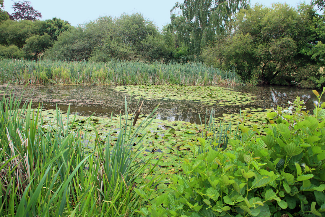
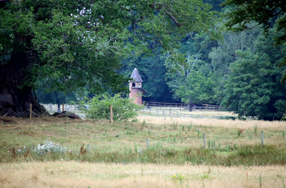
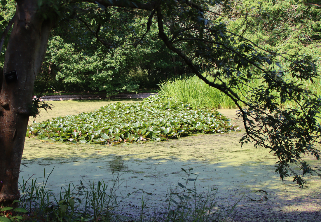
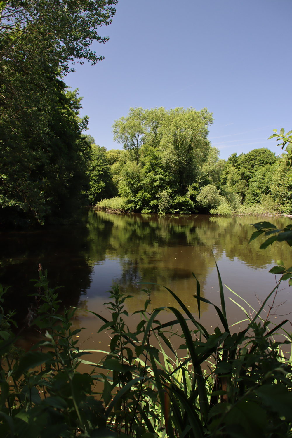
Burton Point from below
The earthworks at Burton Point have been consistently dated to the Iron Age, and the site has usually been described as a promontory hillfort. This post is about the prehistoric, medieval and post-medieval history of the site, with a particular focus on the Iron Age.
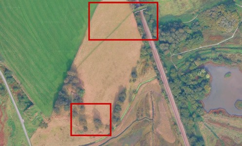
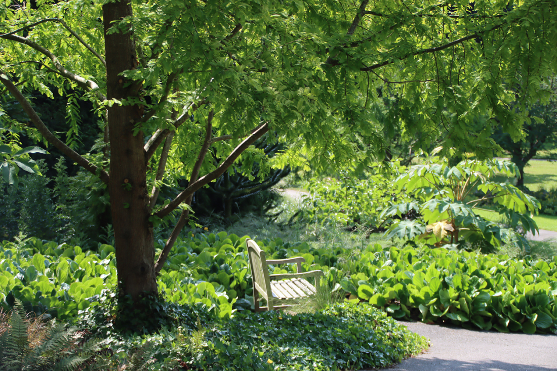
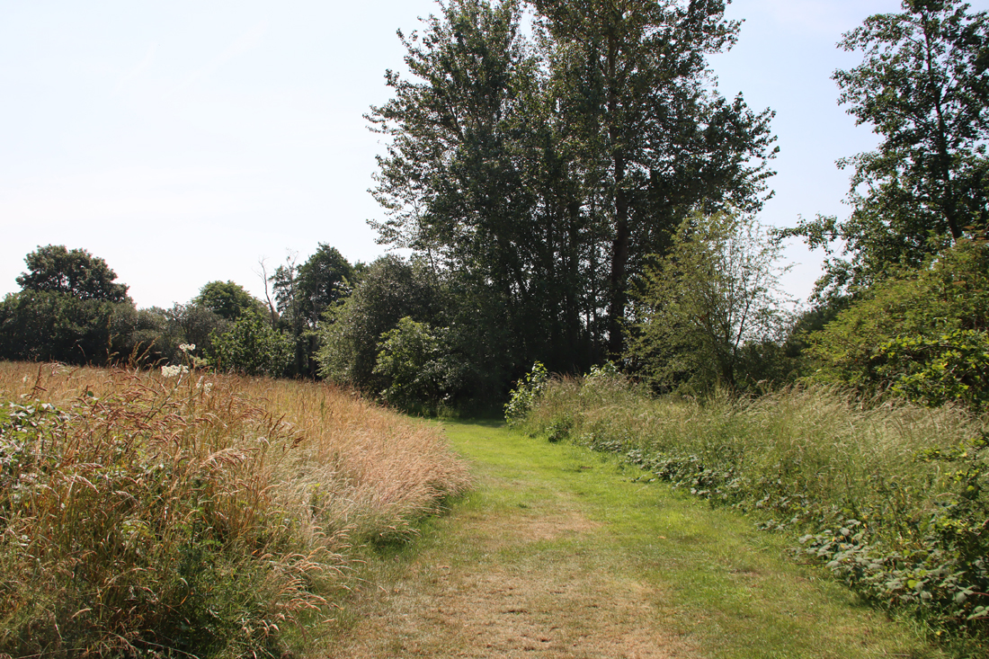
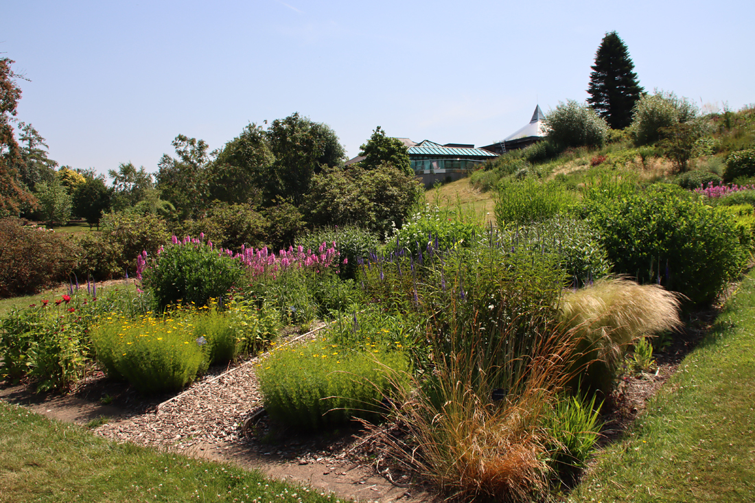
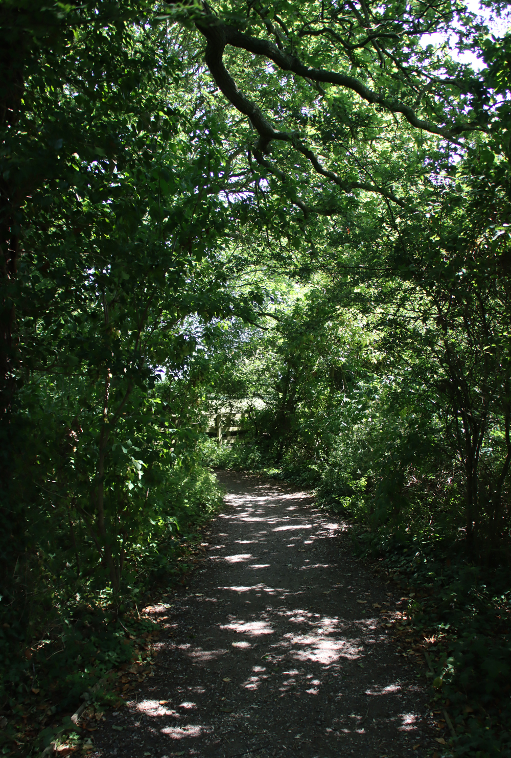
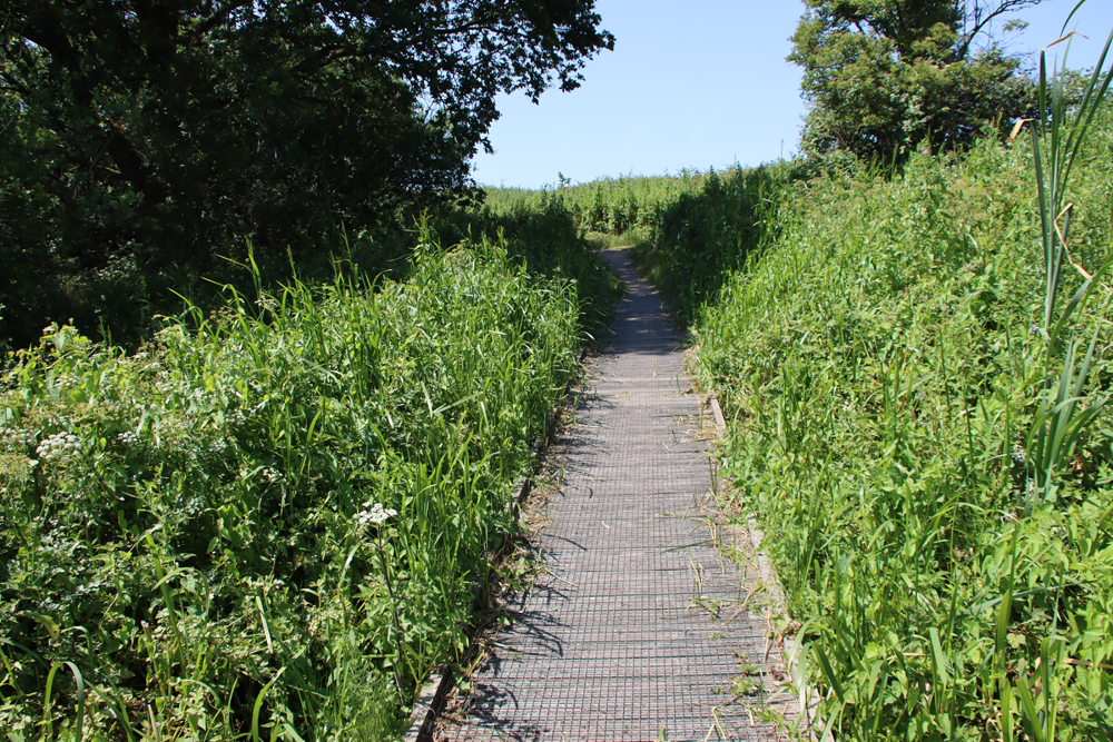
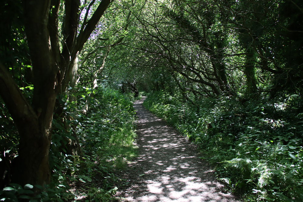
The footpath over the railway leading to the viewing platform in the wooded area within the RSPB wildlife reserve, and the earthworks below. Source: Google Maps
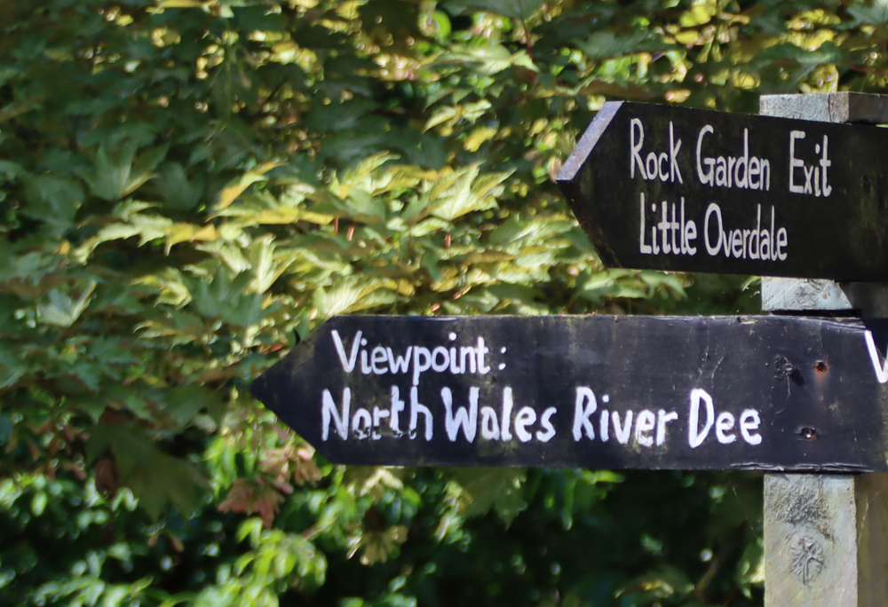
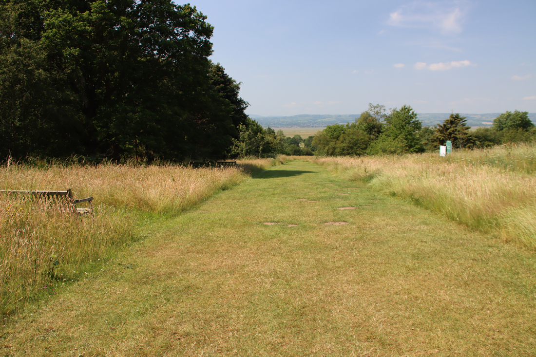
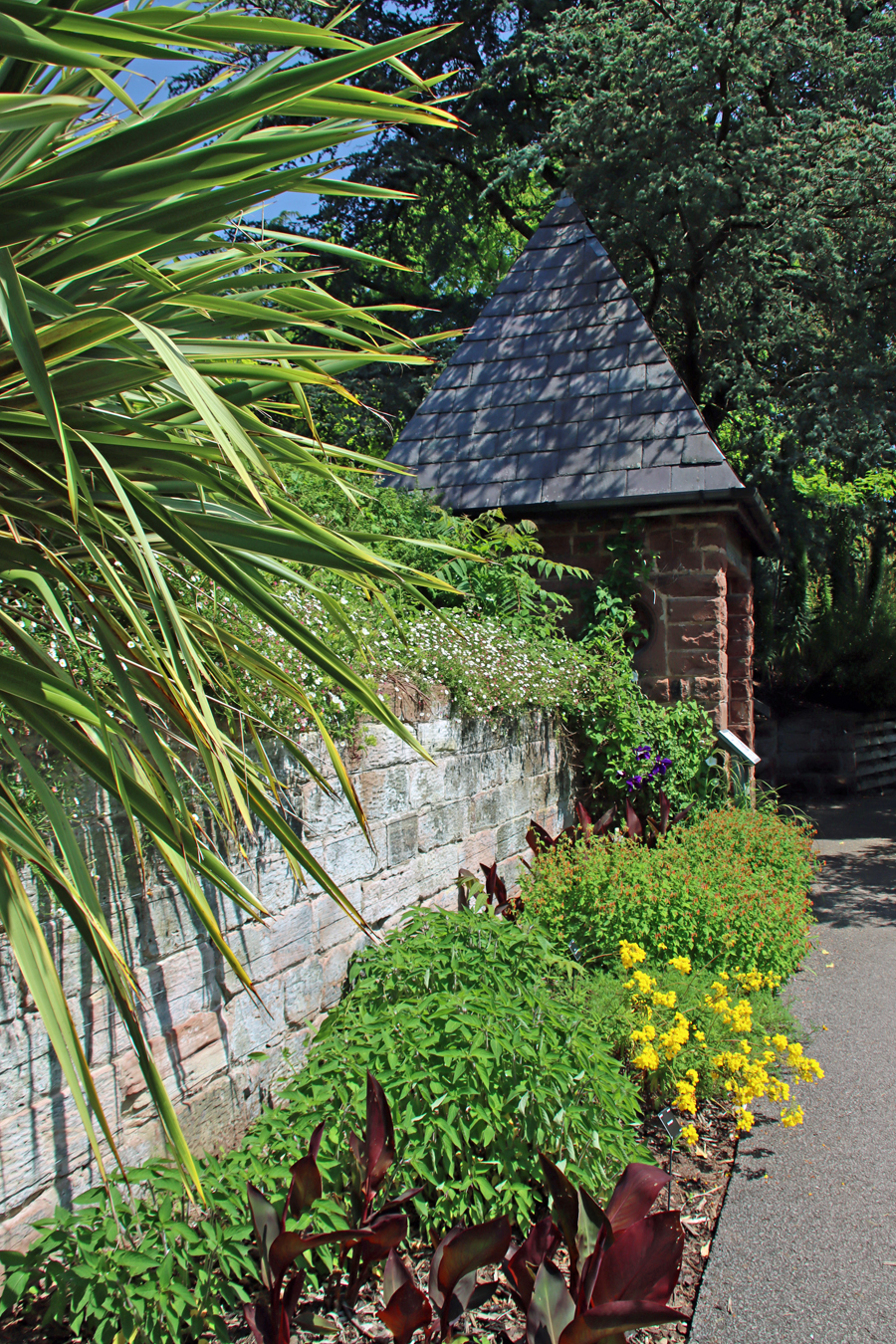
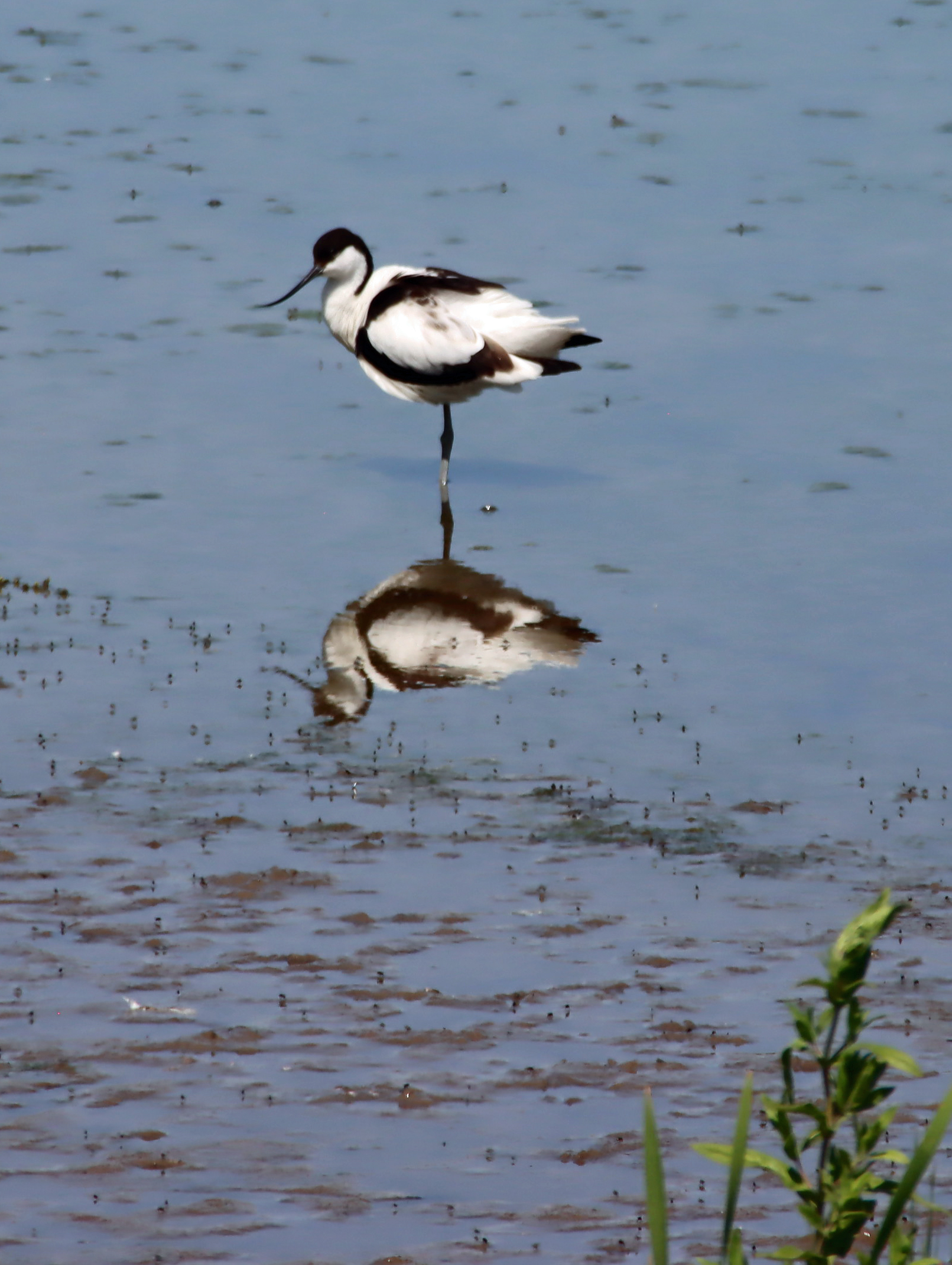
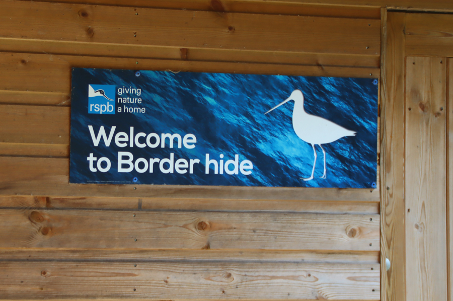
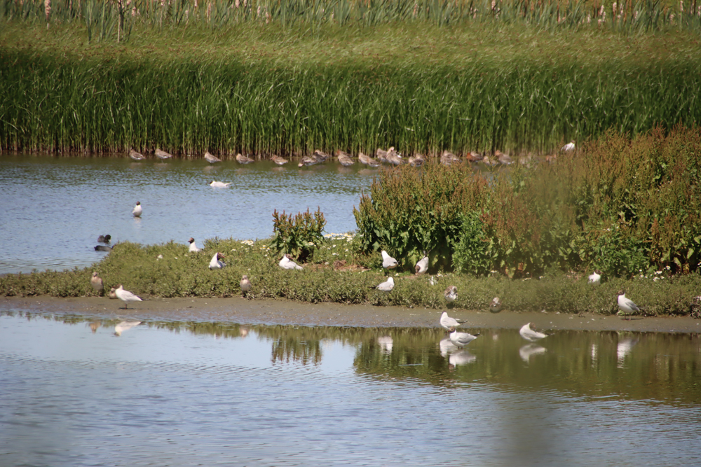
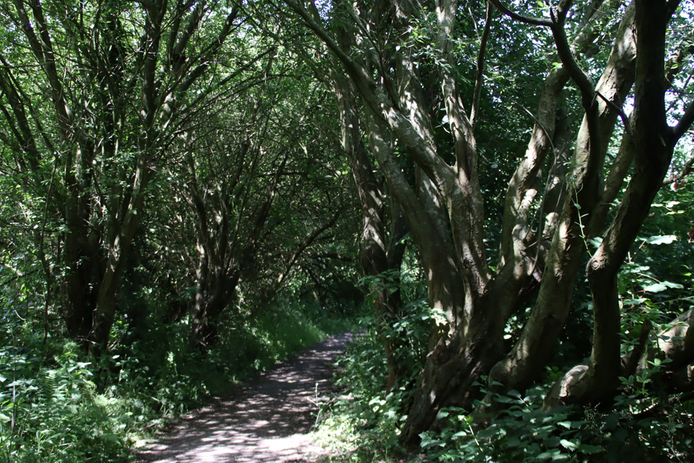
The site is located on a former promontory at the end of a headland at the western edge of the RSPB Burton Wetlands nature reserve. You may see older websites saying that Burton Point is on private land, but this has now changed and entry to the viewing point over the defences now simply requires a ticket via the RSPB reception area. The site is served by good footpaths and signposting and includes basic interpretation signage to give visitors some idea of what might have been there during the Iron Age. As the RSPB reserve is really excellent (I have written about it here) it makes for a great day out even for people who are not particular bird aficionados.
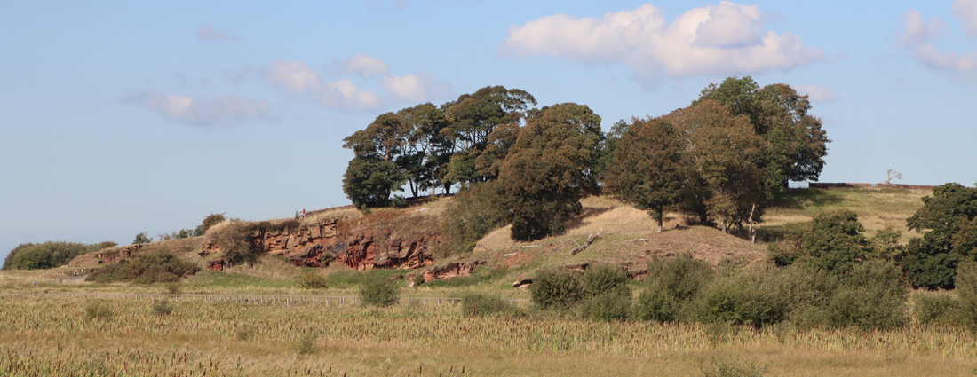
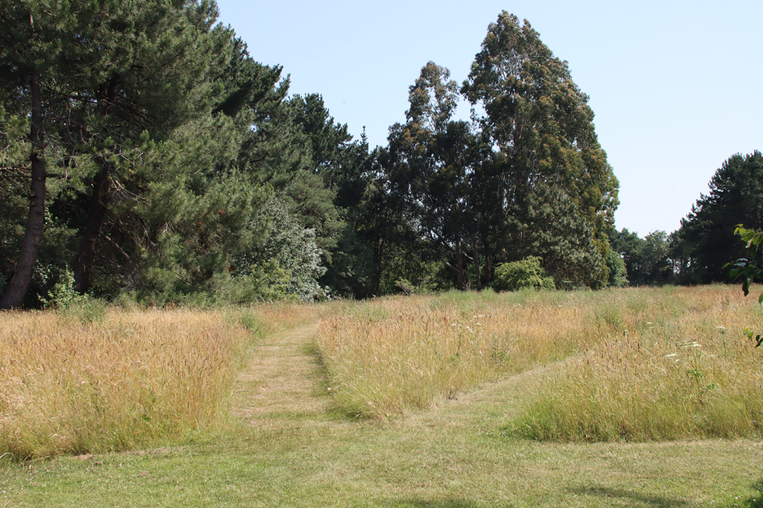
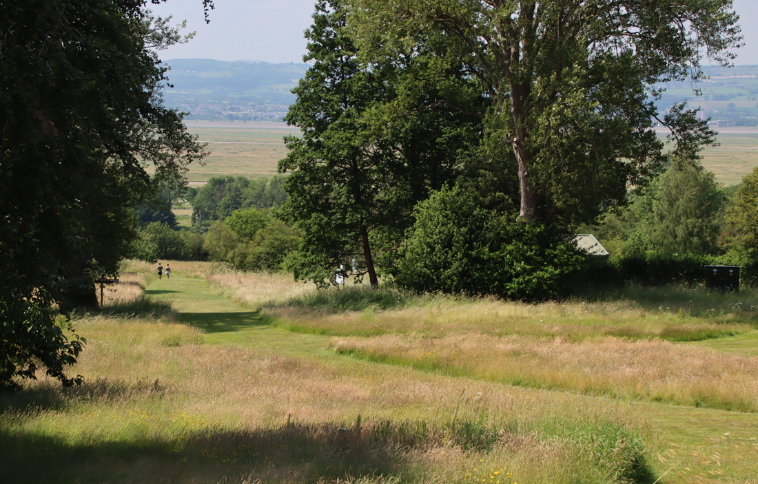
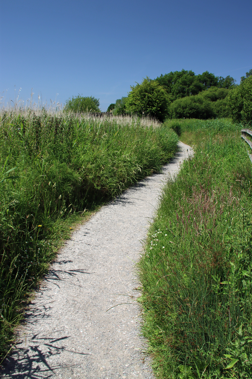
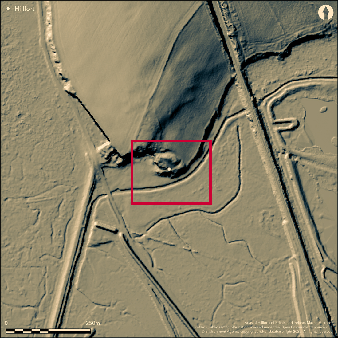
Burton Point fortifications as seen from the approach along the footpath from the RSPB reserve, highlighted in red
Do note that on the whole, there is not a lot to actually see. The Iron Age defences are on the other side of a fence, with notices not to cross the fence, so exploring the bank and ditch would be trespass. Even though you are overlooking the defences, it is not at all easy to make out what is going on. The other approach is to take the cycle track that runs near the base of Burton Point to try and get a look at it from below, but here again it is difficult to make out where the defences are located and how they would have been deployed to protect an Iron Age settlement. The best way to get a good look of the site is from above, and you can do this by viewing the Mister Drone UK video of the site, which is by far the most effective way of understanding the relationship between the different parts of the site and the modern landscape and former riverscape.
Archaeological phases
 Between 2005 and 2006 the University of Chester undertook three field surveys: contour, topographical and geophysical, as well as a documentary review to track down any historical reference to the site in contemporary records. These were reported by Gary Crawford-Coupe in the Journal of Chester Archaeological Society in 2006.
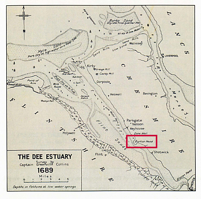
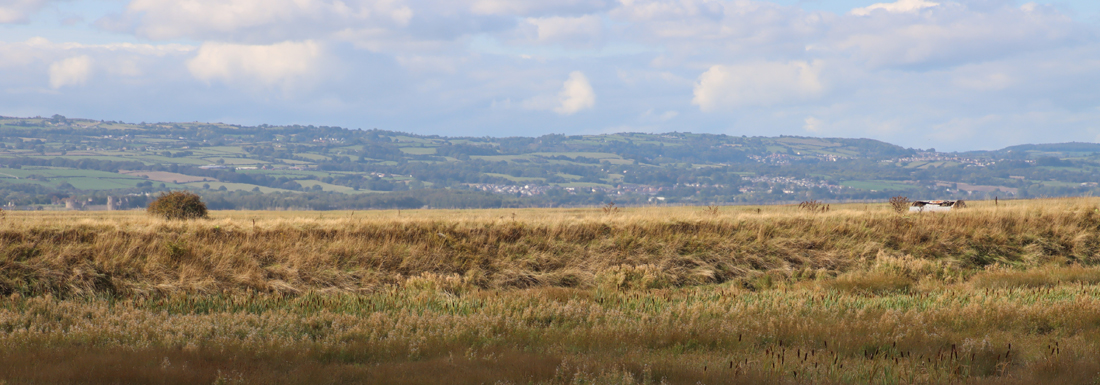
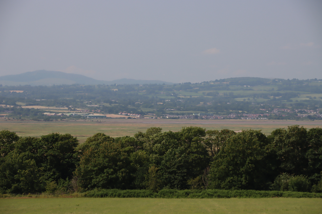
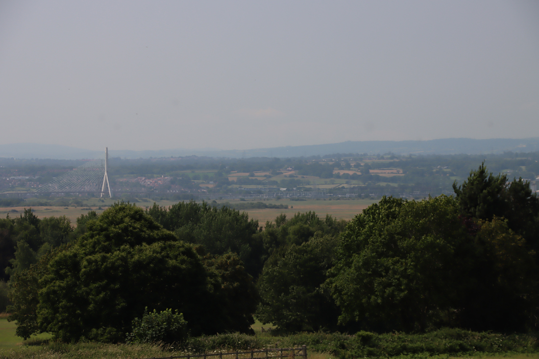
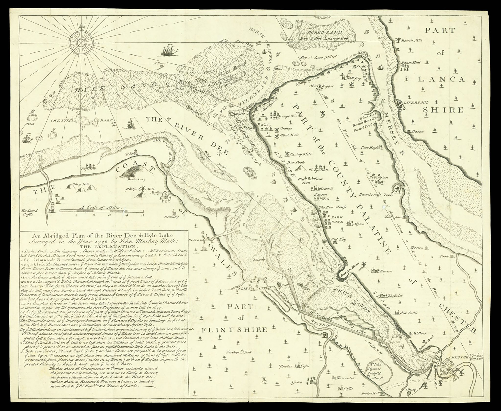
As you can see in the 1689 map above, it was a very noticeable promontory, with the river channel running along its base, offering clear views upriver towards Chester, and downriver towards Hilbre Island, which we could see on the day. The visibility of Hilbre will depend to a great degree on the weather, but this was the hottest day of the year to date, and there was not a cloud in the sky. Opposite, on the Welsh side, is Flint Castle which, like Burton Point, is now set back from the river by a long margin of accumulated silt, but was right on the water’s edge when it was built in 1277.
The four main periods of archaeological evidence proposed for the site are Neolithic, Iron Age, Medieval and 17th century. The site was quarried extensively for red sandstone, which has caused changes to its appearance. These are discussed by Gary Crawford-Coupe’s 2006 paper, based on the University of Chester’s field surveys, which is the best source of collated information, and can be downloaded free of charge from the Archaeological Data Service (see Sources at the end).
Neolithic
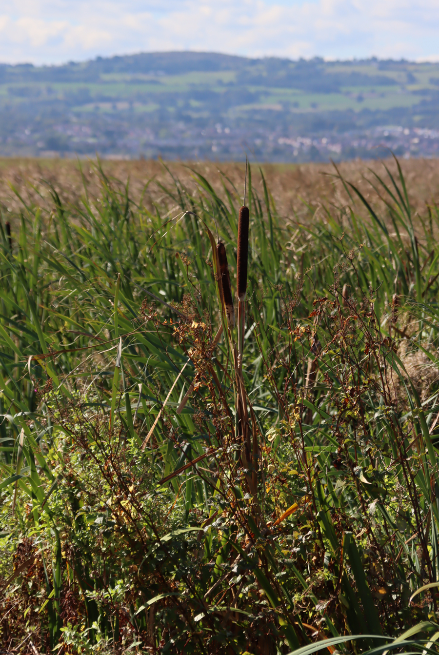
View along the Dee Estuary to the northwest towards the coast from the former riverbed under Burton Point
Although there are scatters of Mesolithic lithic finds on the Wirral dating to the earlier and later Mesolithic, examples of which were found in the nearby village of Burton, there is nothing dating to this period at Burton Point. Three interesting finds dating to the Neolithic were, however, found, discussed in Crawford-Coupe’s paper. There were two arrowheads, one tanged and one transverse, and a polished axe head from Graig Lwyd in Penmaenmawr. Graig Lwyd axes were found over a wide area and represent a successful trading network.
Iron Age
The site
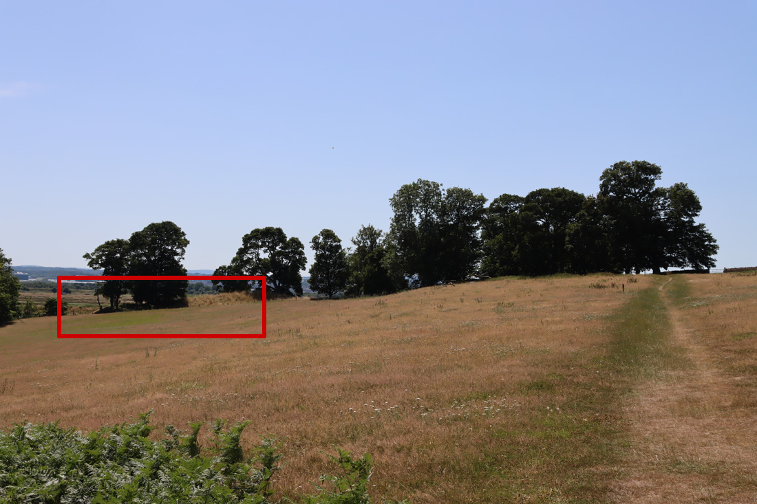
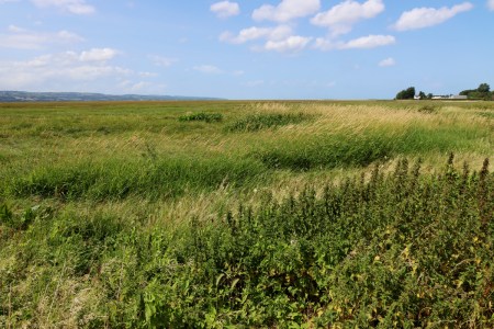
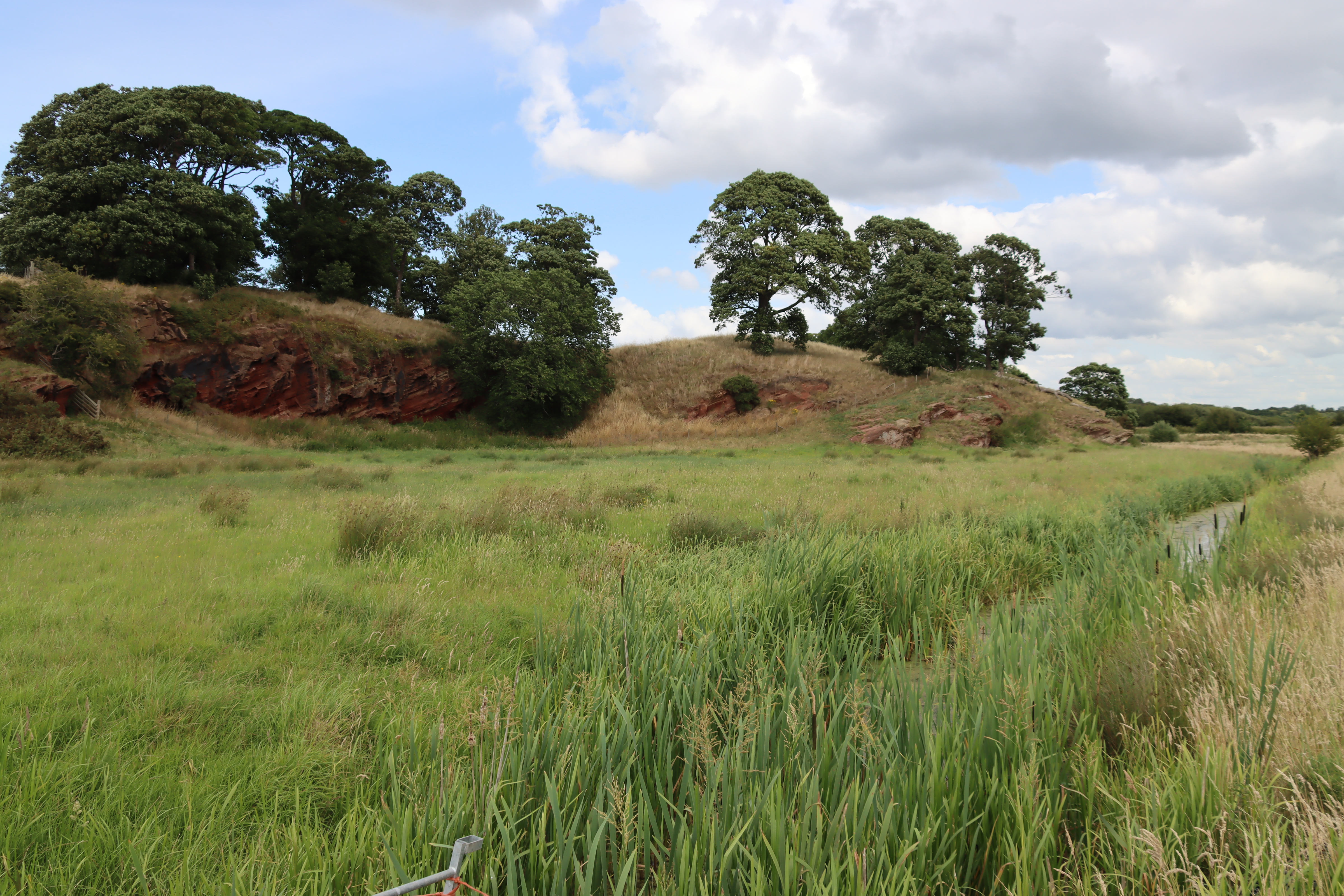
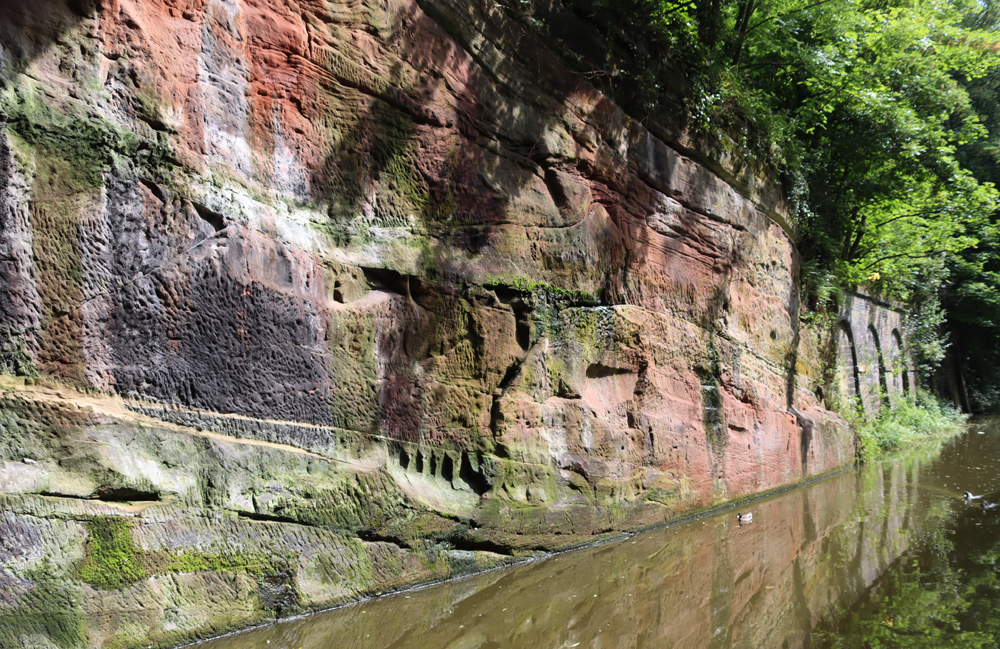
Fortification at Burton Point, consisting of a bank and ditch
The site has not been excavated so recognition of a site and its interpretation as an Iron Age promontory fort has mainly been a matter of the presence of a bank and ditch. The bank and ditch arrangement is referred to as a glacis type (in which the bank runs directly on a diagonal slope into the ditch). The site has produced no further late prehistoric information, and no diagnostic artefacts have been recovered although it should be noted that the lack of finds from the Iron Age in the Cheshire area is entirely typical. The main object type discovered from Iron Age sites is VCP (Very Coarse Pottery), a distinctive coarse pottery used for transporting salt, but none of this has been found at Burton Point to date. In spite of this lack of corroborating evidence, most of those who have inspected and commented on the site have been confident that this is indeed a small Iron Age promontory hillfort that could have supported a small population, perhaps little larger than an extended family. It was first registered as a Scheduled Monument in 1913 and in 1979 the schedule was modified to include a larger area.

Artist’s impression of Maiden Castle on Bickerton Hill, overlooking the Cheshire Plain to the west, which in an interesting experiment had a clear line of sight to Burton Point. Produced by the Habitats and Hillforts Project 2008-2012. Source: Sandstone Ridge Trust
There is good circumstantial evidence to suggest an Iron Age date for the Burton area. Burton Point was also well positioned for visual communication with contemporary sites, as discussed by David Matthews in 2006 and Erin Lloyd Jones in 2019. A 2011 experiment, the Hilltop Glow event, organized by the former Heather and Hillforts project, demonstrated that Burton Point and reported on the BBC (BBC News March 2011) was one of ten Iron Age hillfort sites (on the Clwydian Range, Halkyn Mountain, the mid-Cheshire Sandstone Ridge, and at Burton Point) that determined which sites could be seen from one another when torches were lit. The BBC report of the experiment quoted Heather and Hilltops representative Erin Robinson, stating that Burton Point was visible as far away as Maiden Castle at Bickerton Hill, 25km /15.5 miles (shown above), as well as nearer sites on the Clwydian Range. Burton Point would also have been in the proximity of Iron Age sites 129 and 154 at Puddington Lane in nearby Burton Village, which confirm that a later Bronze Age and Iron Age presence were in this area. By boat, Iron Age settlements in both Chester and Meols would have been within easy reach: Iron Age settlement features were found during the excavations of the Roman amphitheatre in Chester; and at Meols a number of Iron Age finds, including coins, have lead to suggestions that Meols may have been a trading port with connections to both north and south along the coast at that time.
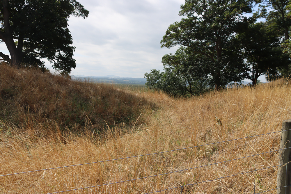
There are however some features that remain puzzling. If this is supposed to be a settlement on a promontory, separated from the rest of the headland by a bank and ditch, it is remarkably difficult to understand its form from what remains, whether you are overlooking the site, looking up at it from below, or examining maps, LiDAR imaging or aerial photographs. This is partly due to quarrying and erosion, but also because it is impossible to walk over what remains of the site, which is fenced off. However, what may have been the Iron Age defences appear to be set below what remains of the headland. This means that the settlement on the promontory would have been lower than the headland behind it, a strategic disadvantage if the bank and ditch were defensive rather than merely statements of territory or prestige. On my first visit it seemed counter-intuitive that this was a promontory hillfort because the defences were only around 20ft above the river bed. Once the term “fort” is removed from the equation, it is still puzzling, and although a short stretch of bank and ditch were visible, they were below the level at which we were standing on the headland behind the defences, a few feet higher than the defences. Faint heart never won fair hillfort, so a few days later I parked up near the cycle track that runs around the base of Burton Point and had another look from what would have been the Dee riverbed, from where the headland clearly rises above the level of the defences. The Mister Drone footage and the above LiDAR image, which I found only later also indicate that the defences were below the headland behind it.
Even so, the bank and ditch may have been more symbolic than actually defensive. Speculating wildly, if the promontory was occupied for its views or as a trading point, the defences could have been built to control access to and exit from a specialized site. In this case, or any other function for the site (including domestic settlement) the bank and ditch could have had more to do with a statement of territoriality and prestige than any actual threat.
The surveys undertaken by the University of Chester (Crawford-Coupe 2005) were unable to provide definitive data to substantiate the proposed dating. The tangle of tree roots prevented any detection of sub-surface structures.
 There are alternative suggestions. After his visit to inspect the site in November 1950, Professor A.W. Lawrence, thought that the earthworks represented quarry upcast prior to starting a new quarry (Historic England Research Records Monument No.67150). The same source puts forward the possibility that even if it is accepted that the bank and ditch are defensive, they could represent “a Dark Age Celtic Fort,” partly based on the possibility that the parish name Burton may be derived from Burh-tun, meaning “farm/dwelling by the fort.” The CHER record (9/1) mentions, without a reference, that “[i]t has been suggested that it maybe the military base of the Dane, Hingamund.”
The site continues to interest those researching the Iron Age and has been mentioned in subsequent reports on other sites, placing it in a wider regional context. As Crawford-Coupe points out, matters are unlikely to be clarified until an excavation takes place.
Composite map showing the distribution of Iron Age sites in northwest England and north Wales. Sources: I combined the two maps from Ritchie 2018 and Nevell 2025
Roman
For those wondering whether there may have been a Roman trading post or watchpost here, perhaps part of a network with Meols, both reasonable thoughts given the notable lines of sight on a clear day, a single Roman brooch was found (SMR-no.59). A single object cannot be extrapolated into a whole site or a particular set of activities but the discovery is still interesting, particularly as there was a find of another Roman brooch (SMR no.56), a fibula-type, in a field opposite Ness Gardens only 1.5 miles / 2.4 km away from Burton Point. I have not yet found a detailed account or image of either brooch.
Medieval use and quarrying

Flint Castle on the Dee Estuary, opposite Burton Point
After the site was abandoned in the Roman period, it is thought that it was used for stone quarrying by Edward I for Flint Castle, together with stone from Ness where Edward kept a small garrison. Most of the stone used for Flint Castle was yellow sandstone, that tends to look rather grey today, but red sandstone that could have been quarried from Burton Point and its vicinity was also used as infill and for some inner stonework.
Richard II’s Cheshire archers are thought to have embarked from Burton Point on the expedition to Ireland in 1399.
Post-medieval land use, quarrying and burials
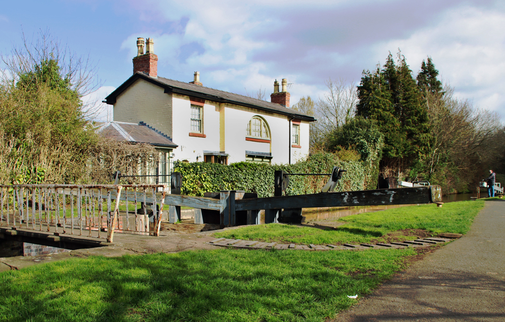
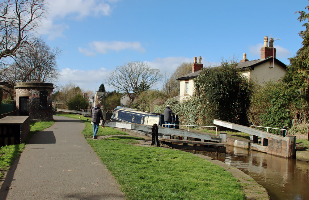
As has already been mentioned, in the Middle Ages the channel of the Dee is thought to have run up to the base of Burton Point, and there are various records of requests for access to the small headland for mooring, unloading and storage. The University of Chester survey published in 2006 noted a section of wall and some pavings, which may have had something to do with these requests, but it is all fairly ambiguous.
In 1889 it was reported that 29 burials were found, all interred orientated east to west, with no grave goods. An east-west burial is consistent with a Christian burial, but that does not narrow it down much. When the skeletal remains were examined, there were no marks to indicate how they died, which seems to rule out a Civil War explanation, but leaves the possibility of plague or shipwreck. A shipwreck was recorded for 1637. Shipwreck victims may or may not have incurred injuries during the wrecking of the ship, but plague would have left no signs at all and would be consistent with such a remote burial, unconnected with a church and consecrated land.
Final Comments

Given that no roundhouses or any indications of palisades have been found at the site, this information sign represents a profound act of imagination based loosely on structures found on other Iron Age sites in the general area.
Partly due to erosion and quarrying that have obliterated most of the site, and partly due to the position of the defences at a level lower than the main headland, the site is not particularly easy to understand as an Iron Age defended promontory settlement. Nevertheless, it is generally accepted as such, demonstrated by the University of Chester report published in 2006, and its inclusion in discussions of the Iron Age in the area, its presence on distribution maps of Iron Age sites and its inclusion on online Atlas of Iron Age Hillforts in Britain and Ireland. There do remain questions about the overall plan of the proposed late prehistoric settlement.
Sources
Books and papers
Britnell, W.J. and Silvester, R.J. 2018. 1. Introduction. In (eds.) Britnell, W.J. and Silvester, R.J. 2018. Hillforts and Defended Enclosures of the Welsh Borderland. Internet Archaeology 48
https://intarch.ac.uk/journal/issue48/7/1.html
Crawford-Coupe, Gary 2006. II. The Archaeology of Burton Point. Journal of Chester Archaeological Society, new series 89, p.71-90
https://archaeologydataservice.ac.uk/archiveDS/archiveDownload?t=arch-2910-1/dissemination/pdf/JCAS_ns_080/JCAS_ns_080_071-090.pdf
Gregory, Richard A. and Mark Adams with contributions by Denise Druce, Laura Griffin, Chris Howard-Davis, Gwladys Monteil, Elaine L. Morris, Rob Philpott, Ian Smith and Adam Tinsley 2019. Excavation at Two Cropmark Enclosures at Puddington Lane, Burton, Wirral, 2010–2015.
Journal of Chester Archaeological Society, new series 89, 2019, p.1–69
https://archaeologydataservice.ac.uk/archiveDS/archiveDownload?t=arch-2910-1/dissemination/pdf/JCAS_ns_089/JCAS_ns_089_001-070.pdf
Griffiths, David., Robert A. Philpott, Geoff Egan and contributors 2007. Meols, the Archaeology of the North Wirral Coast. Oxford University School of Archaeology: Monograph 68: Institute of Archaeology, University of Oxford.
https://archaeologydataservice.ac.uk/archives/view/meols_sal_2007/downloads.cfm
Lloyd Jones, Erin 2019. Connections between the hillforts of the Clwydian Range and the wider landscape. Unpublished PhD, Bangor University
https://pure.bangor.ac.uk/ws/portalfiles/portal/22607372/2017_Jones_EL_PhD.pdf
Matthews, David J. 2006. Mapping hillfort intervisibility and its potential to define Iron Age tribal areas in the northern and mid Marches. Unpublished MA Thesis
Matthews, Keith J. 2001. The Iron Age of Northwest England: A socio-economic model. Journal of the Chester Archaeological Society 76, p.1-51
https://www.academia.edu/900876/The_Iron_Age_of_North_West_England_A_Socio_Economic_Model
Morgan, Victorian and Paul Morgan 2004. Prehistoric Cheshire. Landmark Publishing
Nevell, Mike 2025. Northwest Regional Research Framework: Later Prehistory
https://researchframeworks.org/nwrf/resource-assessments/later-prehistory/
Philpott, Robert A. and Mark H. Adams and contributors 2010. Irby, Wirral. Excavations on a Late Prehistoric Romano-British and Medieval site 1987-96. National Museums Liverpool
Ritchie, Matt 2018. A Brief Introduction to Iron Age Settlement in Wales. Internet Archaeology 48. https://intarch.ac.uk/journal/issue48/2/1.html
Silvester R.J. 2018. 4. North-east Wales and the Cheshire borderlands. In (eds.) Britnell, W.J. and Silvester, R.J. 2018. Hillforts and Defended Enclosures of the Welsh Borderland. Internet Archaeology 48
https://intarch.ac.uk/journal/issue48/7/toc.html
Wilmott, Tony and Dan Garner 2018. The Roman Amphitheatre of Chester, Volume 1: The Prehistoric and Roman Archaeology. Oxbow Books
Websites
ARCHAEOdeath
The Archaeology of Burton Point: The Heritage Open Day at Burton Mere RSPB
https://howardwilliamsblog.wordpress.com/2022/09/16/the-archaeology-of-burton-point-the-heritage-open-day-at-burton-mere-rspb/
Atlas of Hillforts in Britain and Ireland
EN3190 – Burton Point. Gary Lock and Ian Ralston 2012-2016
https://tinyurl.com/mrxeu34s
Based In Churton
Exploring Maiden Castle Iron Age Hillfort, Bickerton Hill (mid-Cheshire Sandstone Ridge)
https://wp.me/pcZwQK-8Az
Sunshine, archaeology and great views at Caer Drewyn Iron Age hillfort at Corwen
https://wp.me/pcZwQK-4ft
Hillforts and amazing views – and why is there an Egyptian temple on the top of Moel Famau?
https://wp.me/pcZwQK-9dE
The fabulous nature reserve at the RSPB’s Burton Mere Wetlands
https://wp.me/pcZwQK-7QS
BBC News
North Wales Hillfort Test of Iron Age Communication
https://www.bbc.co.uk/news/uk-wales-north-east-wales-11832323
Heritage Gateway
Historic England Research Records Monument Number 67150.
https://www.heritagegateway.org.uk/Gateway/Results_Single.aspx?uid=67150&resourceID=19191
Historic England
Promontory fort on Burton Point 550m south west of Burton Point Farm
https://historicengland.org.uk/listing/the-list/list-entry/1013298?section=official-list-entry
Mister Drone UK
Burton Point, Iron Age Fort Remains search by drone
https://www.youtube.com/watch?v=t9izFQLB148
Northwest Regional Resource
Introduction: The Later Prehistoric Resource. 1200BC-43AD. Compiled by Michael Nevell, with contributions.
https://researchframeworks.org/nwrf/resource-assessments/later-prehistory/
A Sustainable Vision for Hoylake Beach
The Curious Case of the Cheesemongers (for the very useful 1732 map of the Wirral)
https://sustainablebeach.org.uk/index.php/evidence-and-data/library/the-curious-case-of-the-cheesemongers/
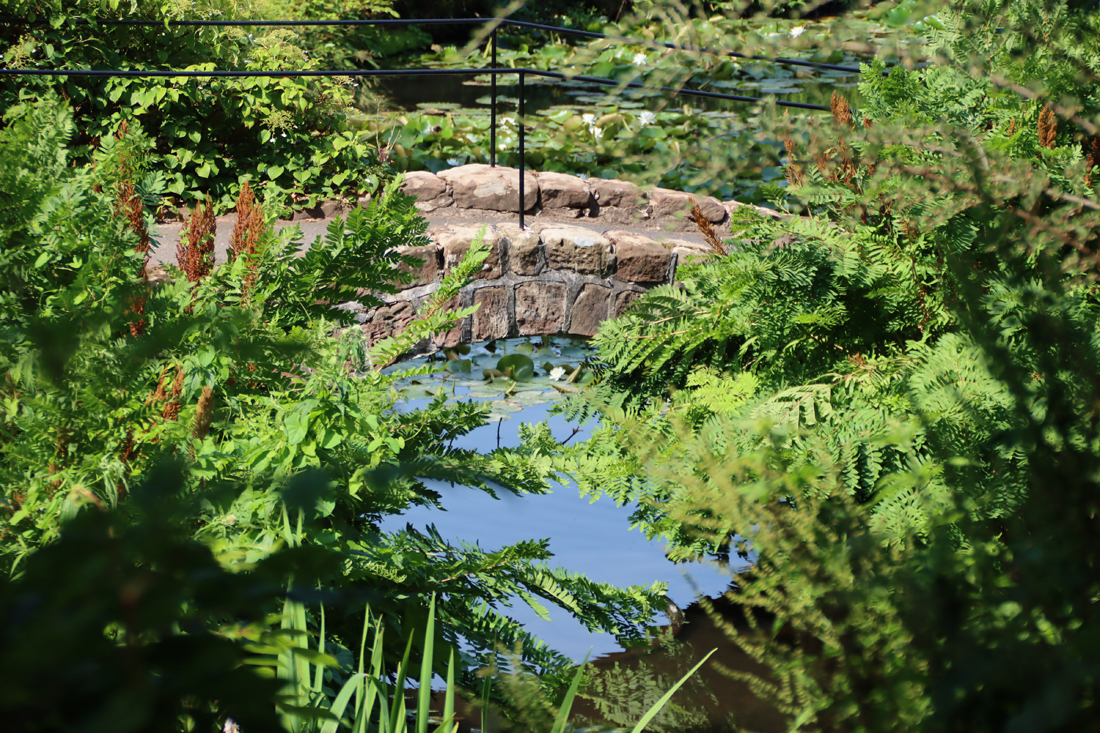
The view across to Wales from the foot of Burton Point


#/media/File:John_Douglas_(architect).jpg)