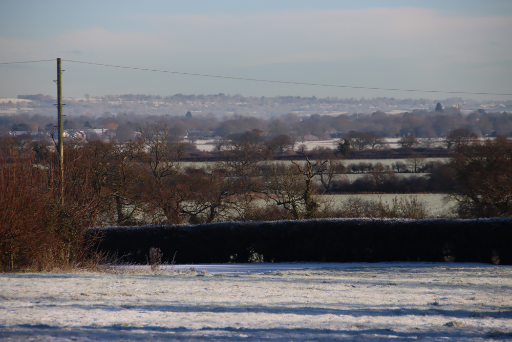
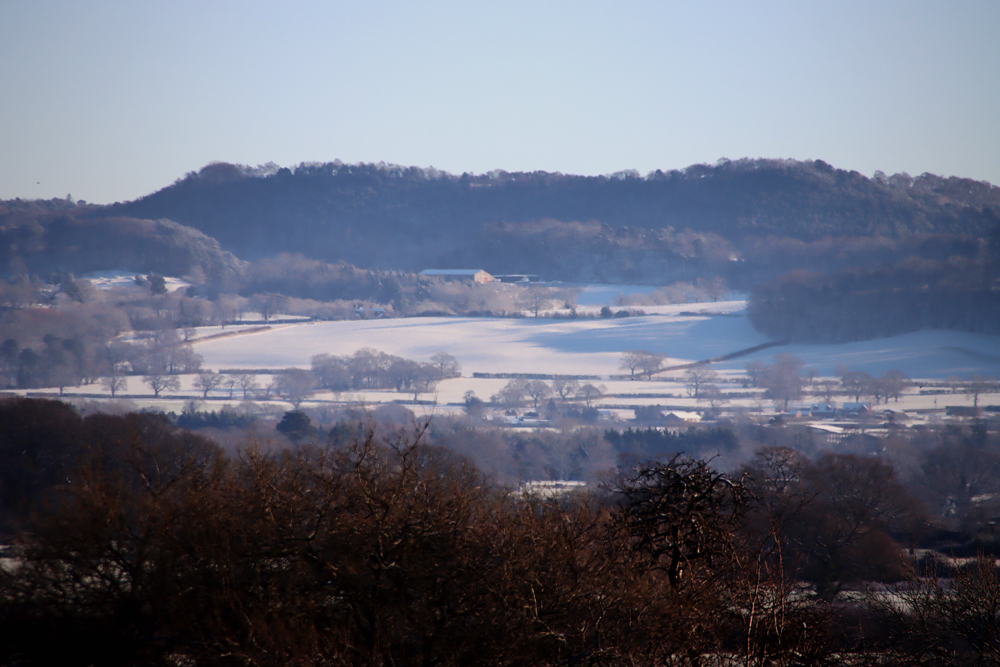
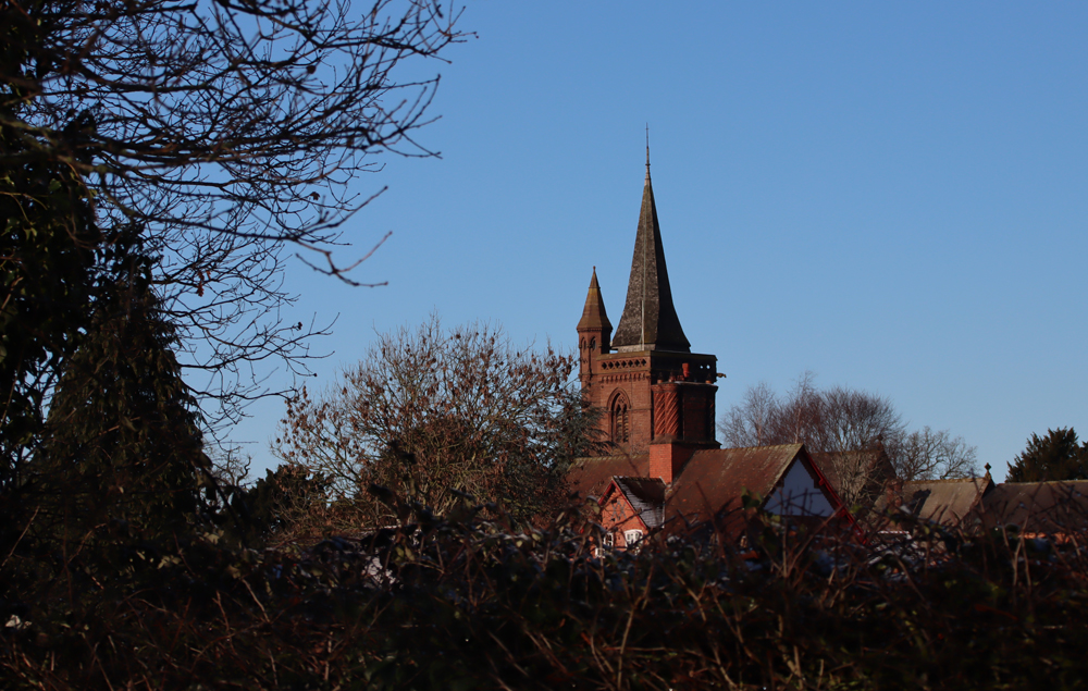
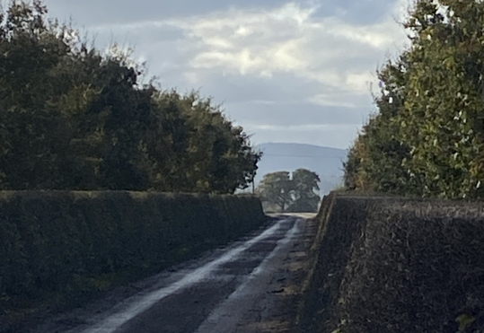
View west from the turnpike.
This is part 2 of the story about the Chester to Worthenbury turnpike, a rural toll road that ran peacefully through Huntington, Aldford, Churton (with a branch to Farndon), Crewe-by-Farndon, and Shocklach before terminating at lovely Worthenbury. Part 1, posted the day before yesterday, looked at the background to turnpikes (toll roads) in the 17th to 19th Centuries, and their roles in everyday life as a setting for the Chester to Worthenbury turnpike. Part 2 looks at the turnpike itself. As I said in Part 1, the reason for splitting the post into two is that it turned out to be a fairly mammoth topic. If you prefer to read it as a PDF or print it, you download the PDF by clicking here.
Most former turnpikes are still busy. For example, when you wait patiently at Milton Green to turn on to the A41 that runs from Chester to Whitchurch, the thundering HGVs that happily ignore the “please drive carefully through our village” signs make it is difficult to imagine it populated with quietly plodding horses and carts. It is a different story once you have driven from Crewe-By-Farndon via Shocklach to Worthenbury, because an entirely different leap of the imagination is required. This time, it’s a case of wondering why such a quiet and rural stretch of road could ever have been sufficiently busy to require turnpiking. Churton, Shocklach and Worthenbury are all well-defined villages, but other places marked on the map, such as Crewe-by-Farndon, Castletown and Caldecott Green are little more than a single big house and/or farm with a couple of associated buildings.

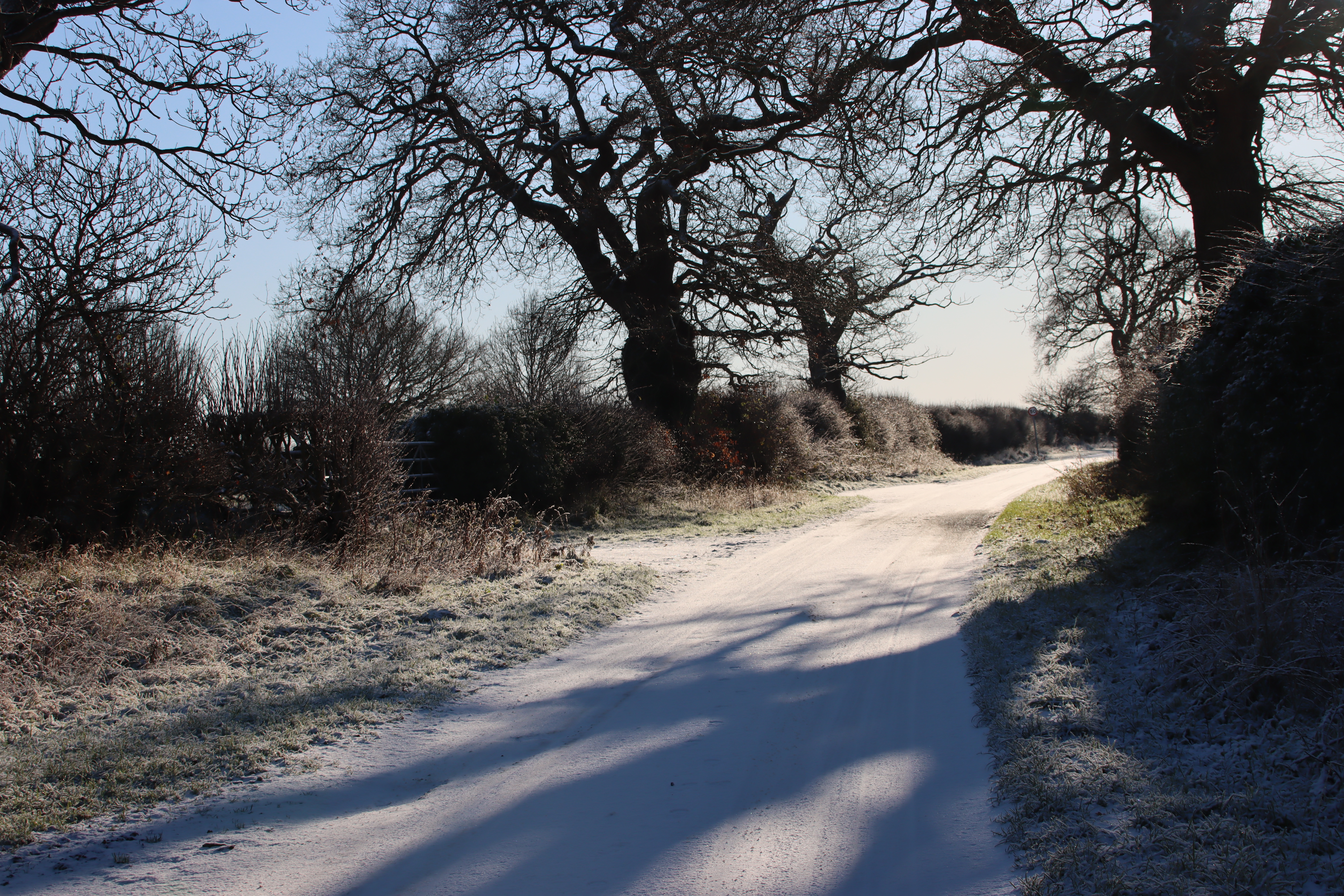
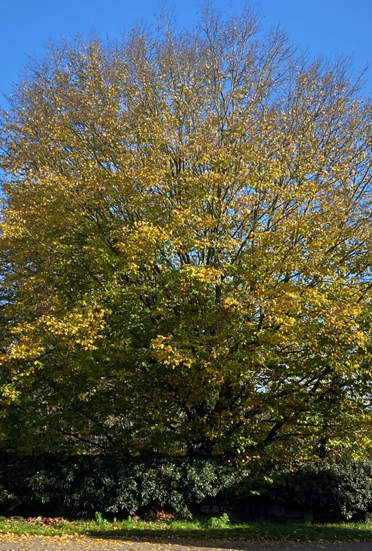
Scenery flanking the road that was turnpiked in 1854.
The route of the Chester to Worthenbury turnpike
In many areas, the presence of a Roman road dictated the line of Medieval and later roads, but the Roman road that once ran from Chester through Aldford fell out of use. As you head south from Aldford, a small lane to the left, Lower Lane, indicates where the path of the Roman road splits from the B5130 and thereafter becomes a series of farm tracks and footpaths, its route sitting in between today’s A41 (Chester to Whitchurch) and A483 (Chester to Wrexham). This Roman road, known today as Watling Street West (or more prosaically 6A), passed through Ecclestone, Heronbridge and Aldford then veered to the east of Churton, bypassing both Churton and Farndon (I have written about the Roman road in an earlier post, here).

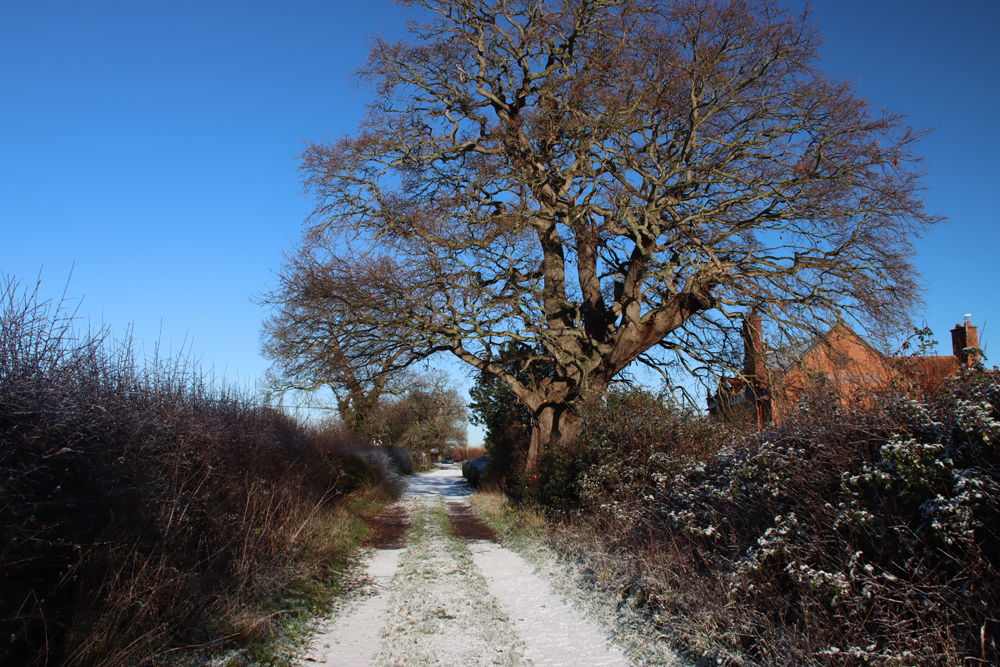
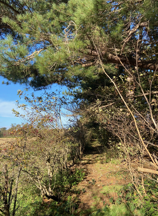
The bending course of the road that was turnpiked in 1854. My photograph CC BY-NC-ND 4.0
Later, however, the establishment of Farndon as an important crossing to Holt and the rest of north and mid Wales meant that the path of the Roman road southeast of Aldford, was abandoned during the Middle Ages, and the line of the road shifted instead west towards the Dee, passing through what is now Churton before reaching Farndon. This route was established at least during the reign of Edward I, (reigned 1272-1307), who followed it on one of his peripatetic Royal Itineraries, heading south from Chester through Ecclestone and Malpas. Rachel Swallow says that a toll gate was documented at Shocklach at around 1291, all traces now vanished.
The Chester to Worthenbury turnpike followed a path from Chester through Huntington, Aldford and Churton before heading down what is now Sibbersfield Lane and across the modern bypass before vanishing down the quiet, wending country B-road to Worthenbury. As with every turnpike, an Act of Parliament was required before Trustees could be appointed, and this was the Chester, Farndon and Worthenbury Turnpike Road Act 1854, “An Act for making a Turnpike Road from Chester, by Farndon, to Worthenbury, with a Branch therefrom to the Village of Farndon,” which passed into law on 3rd July of that year. The exact wording of the first part of the Act is shown below the bibliography, Sources, right at the end of this post. It was the last road in Cheshire to be turnpiked. Here is the description of the route from the 1854 Act:
 A Turnpike Road to commence in Boughton in the Parishes of Saint Oswald and Saint John the Baptist, or One of them, within the Parliamentary Borough of Chester, by a Junction with the Road leading from the City of Chester to Whitchurch opposite and near to a Public House called the “Jolly Gardener,” and to terminate in the Township and Parish of Worthenbury in the County of Flint by Two Junctions with the Whitchurch and Marchwiel Turnpike Road, one thereof at or near to a certain Farm House called “Broughton Lodge,” and the other thereof at or near the Finger Post at the Junction of the present Highway from Shocklach with the Whitchurch and Marchwiel Turnpike Road : A- Branch Turnpike Road to commence from and out of the said intended Turnpike Road in the Township of Churton, by Farndon and Parish of Farndon, at or near the Point where the existing Highways leading from Churton to Farndon and from Churton by Crewe and Shocklach to Worthenbury respectively diverge, and to terminate in the Village, Township, and Parish of Farndon by a Junction with the Turnpike Road leading from Wrexham to Barnhill near to the Raven Inn, all in the County of Chester.
A court case that followed the demise of the turnpike is useful for describing the state of the road before it was turnpiked
“Before and until the passing of the Chester, Farndon and Worthenbury Turnpike Road act of 1854, it consisted of an ordinary fenced road, varying in width from about 20-30ft, of which nine feet wide only was paved with stones along the centre; the sides not being metalled were of grass or earth. The stone of which the pavement was formed was got in the township from the lands alleged in the indictment . . . . The road, which was an ordinary carriage highway was at that time repaired by John Brock Wood, the owner of the said lands.”
The stones of the old pavement were used in the construction and macadam was brought from Penmaenmawr to lay along its surface. The width was not expanded beyond the original fences that flanked it.
The Chester to Worthenbury turnpike trust
The sheer number of trustees appointed in the 1854 Act staggered me, as I had been imagining something in the region of ten or twenty responsible dignitaries. There were 66 (give or take – I may have lost one or two in the process of counting). After including “All Her Majesty’s Justices of the Peace for the Time being acting for the County of Chester, for the County of the City of Chester, and for the County of Flint respectively” the Act goes on to name individual trustees, and here they all are:
The Honourable Hugh Lupus Grosvenor commonly called Earl Grosvenor, the Honourable Richard de Aquila Grosvenor commonly called Lord Richard de Aquila Grosvenor, the Honourable Henry Cholmondeley commonly called Lord Henry Cholmondeley, Sir Robert Henry Cunlife Baronet, Robert Ellis Cunliffe, Sir Watkin Williams Wynn Baronet, Sir Philip de Malpas Grey Egerton Baronet, Philip Le Bel- ward Egerton, Samuel Aldersey, Thomas Aldersey, the Rector of Aldford for the Time being, Roger Barnston, Harry Barnston, Thomas Boyden Clerk, Richard Barker, Francis Henry Barker, Thomas Chorlton Glutton, Charles Colley, Hugh Colley, Henry Crane, Tanat Wynne Denton, Thomas Dixon, Thomas Dixon the younger, James Dixon, the Minister of Farndon for the Time being, William Wynne Ffoulkes, Edward Francis French, Alexander Price French, Philip Stapleton Humberston, Thomas Cowper Hincks, Thomas Cowper Hincks the younger, Thomas Hignett, John Hignett, Robert Broadhurst Hill, the Minister of Holt for the Time being, Robert Howard, Francis James Hughes, Townsend Ince, Thomas Jones, John Hurleston Leche, Sir William Lloyd, Richard Massie, John Finchett Maddock, Thomas Finchett Maddock, Townshend Mainwaring, Henry Water Meredith, Robert Buckley Orton, Sir Richard Puleston Baronet, Francis Richard Puleston, Theophilus Puleston, Charles Potts, Henry Potts, Charles William Potts, William Parker, John Parker, Richard Powdrell, William Rowe, Samuel Rowe, John Rogers, Thomas Vernon Royle; Joseph Sparkes, John Townshend, Charles Townshend, John Williams, Edward Tilston, John Brock Wood, William Henry Wood, the Rector of Worthenbuiy
Pratt’s 1912 study offered the following comment on the sheer number of trustees that could be in charge of a turnpike:
One result of the excessive localisation of the turnpike system was that trusts of absurdly large proportions were created to look after absurdly small stretches of road. “The fundamental principle,” says a writer in the “Edinburgh Review” for October, 1819, “is always to vest the whole management in the hands of the country gentlemen; and, as they act gratuitously, it has been the policy of the law to appoint in each act a prodigious number of commissioners—frequently from one hundred to two hundred, for the care of ten or fifteen miles of road; and thus a business of art and science is committed to a promiscuous mob of peers, squires, farmers and shopkeepers, who are chosen, not for their fitness to discharge the duties of commissioners, but from the sole qualification of residence within a short distance from the road to be made or repaired. . . .
The whole time of the meetings of turnpike trusts was “occupied in tumultuous and unprofitable discussions, and in resolving on things at one meeting which run a good chance of being reversed at the next; that the well informed and civilized commissioners become very soon disgusted with the disorderly uproar, or the want of sense, temper or honesty of some of their companions; and that the management finally falls into the hands of a few busy, bustling, interested persons of low condition, who attend the meetings with no idea of performing a public duty, but for the purpose of turning their powers, by some device or other, to the profit of themselves or of their friends or relations.

Scenery flanking the road that was turnpiked in 1854. My photograph CC BY-NC-ND 4.0
Local landowners could invest their own funds to improve a road, but generally loans were taken out to meet the initial set-up costs, with the interest theoretically being paid back from the income derived from tolls, or at least that left over after paying salaried staff and carrying out frequent repairs. Even where the accounts tallied, which they often did not, huge debts were accrued. The Select Committee on Turnpike Trusts in 1839 reported that eighty four trusts had paid no interest in years, and that the total estimated debt of English and Welsh turnpike trusts together exceeded £9,000,000, a staggering sum in those days. It seems remarkable, under these conditions, that a new turnpike Act was passed in favour of the Chester to Worthenbury turnpike so late in the turnpike era.
The reasoning behind the creation of the turnpike

One of the many farms that lines the turnpike’s route. My photograph CC BY-NC-ND 4.0
The Chester to Worthenbury road wended its bendy way at its own leisure through agricultural land, connecting a number of villages, including Churton, Crewe-by-Farndon and Shocklach. A drive down that section of the road south of Sibbersfield Lane confirms it as a winding, rural road with a few farm buildings along its routes, the few villages very small and quiet. A branch ran from Churton into Farndon. Worthenbury, a rural village that has changed very little since the 19th Century, was not an obvious destination for traders, merchants, carriers or passenger vehicles, traditionally the main users of turnpikes. The destructive impact of the transportation of heavy loads of cheese was given as a primary reason for the creation of a turnpike between Chester and Whitchurch. The production of Cheshire cheese was certainly of great importance to the county, as Defoe explains in 1725:
This county, however remote from London, is one of those which contributes most to its support, as well as to several other parts of England, and that is by its excellent cheese, which they make here in such quantities, and so exceeding good, that as I am told from very good authority, the city of London only take off 14000 ton every year; besides 8000 ton which they say goes every year down the Rivers Severn and Trent, the former to Bristol, and the latter to York; including all the towns on both these large rivers: And besides the quantity ship’d both here, and at Leverpool [Liverpool], to go to Ireland, and Scotland. So that the quantity of cheese made in this country, must be prodigious great. Indeed, the whole county is employ’d in it, and part of its neighbourhood too.
However, this situation was over a century before the Chester to Worthenbury turnpike was mooted and there’s no indication either in contemporary newspapers or in the Act itself whether the carriage of Cheshire cheese or any other particular problem was a reason why the Chester to Worthenbury turnpike was deemed worth the cost and effort. The Act merely says that the turnpike “would be of great public value,” which is somewhat unhelpful. Crosby suggests “the rather remote possibility of abstracting traffic from the Chester-Wrexham and Chester-Wrexham roads,” but the encyclopaedic New Historical Atlas of Cheshire (2002) is silent on the subject, as is Latham’s Farndon.

Scan of map showing turnpike roads in Cheshire, from the New Atlas of Cheshire (Phillips and Phillips 2002, p.77). The Chester to Worthenbury turnpike is shown in green at the far left, crossing the Broxton to Wrexham Turnpike (in yellow).
Perhaps the object of the exercise was to improve the quality of the road network in this part of West Cheshire. This area was rather isolated. The canal network bypassed the Dee, south of Chester, with the 1772 Chester Canal (now part of the Shropshire Union) heading southeast from Chester via Beeston to Nantwich to Birmingham, linking into other parts of the canal and turnpike networks as it went, and the Dee itself was only navigable by very light traffic. By the end of the 18th Century there were already serviceable turnpikes between Chester and Whitchurch and Chester and Wrexham, which accounted for most of the market-bound and commercial traffic.
The turnpike linked up with Whitchurch after passing through Worthenbury, but it was a very rambling route, and the Chester to Whitchurch turnpike would have been a much better option unless you were starting from somewhere like Churton, Farndon or Holt. The New Atlas shows an intersection with the Wrexham to Broxton turnpike (now the A534), which was opened in the period 1760-1789, linking the Chester to Wrexham and Chester to Whitchurch roads. There was a turnpike between Bangor On Dee and Malpas, which opened in 1767. Although the road between Worthenbury and Bangor on Dee (the B5069) does not appear to have been turnpiked, it was a short stretch and would have been easy enough to maintain in good condition if there was sufficient motivation.

Emral Hall, Worthenbury. The lower photo shows the ballroom, now preserved (thank goodness) in the Town Hall at Portmeirion. Source: Wrexham Online.
A number of large estates and prosperous farms were located along the route of the turnpike. The largest of these were Crewe Hill in Crewe-by-Farndon, Boughton Hall near Threapwood and the magnificent Emral Hall just to the south of Worthenbury. Crewe Hill was the principal home of the Barnston family, and the base of their wide-ranging and profitable estate that included land in and around Farndon and extending north to the middle of Churton. The lovely half-timbered Broughton Hall was sadly demolished in 1961, but at the time was the home of the Howards. Emral Hall also tragically demolished in the 1930s, was the home and estate of the Pulestons throughout the 18th and 19th Centuries. Others along the route, from north to south, are Aldford Hall, Churton Hall, Sibbersfield Hall, Crewe Hall, Shocklach Hall, Kingslee and Caldecott Hall. Trustees included community members from all areas through which the turnpike passed, so members of the family present on the trustees list does not prove that they were driving forces behind the turnpike, but it is still interesting to see (where these family names can be traced) which estates provided family members as trustees.
-
- Aldford Hall: The Earl of Westminster and Lord Richard de Aquila Grosvenor
- Churton Hall: Roger Barnston and Harry Barnston
- Sibbersfield Hall: William Rowe and Samuel Rowe
- Crewe Hill: Roger Barnston and Harry Barnston
- Caldecott Hall: Philip Stapleton Humberston
- Broughton Hall: Robert Howard
- Emral Hall: Sir Richard Puleston (baronet), Francis Richard Puleston, and Theophilus Puleston
Other trustees on the above list with a vested interest in being able to get around were the Rectors of Aldford and Worthenbury and the Ministers of Farndon and Holt. Trustees Samuel Aldersey and Thomas Aldersey of Aldersey Hall, would also have benefitted from the tunrpike road, to which the road on which Aldersey Hall was located was linked. And so it goes on.
There are apparently some omissions and question marks too. Although a large building is shown on the site of Churton Lodge, no details are available on the Tithe map. Shocklach Hall was only built in the 1850s, so was perhaps itself under construction at the time, or built partly because the turnpike was there. In the 1840s tithe maps the land on which it as located was owned by Emral Hall. Crewe Hall (as opposed to Crewe Hill) was owned and occupied by the Bennion family when the 1838 tithe map was published, but they do not appear as trustees.

Some of the very few buildings along the turnpike route at Crewe-by-Farndon and Shocklach. From left: Crewe Hall, one of the buildings in the village of Shocklach, the Bull in Shocklach and Kingslee. My photograph CC BY-NC-ND 4.0
Toll cottages along the route
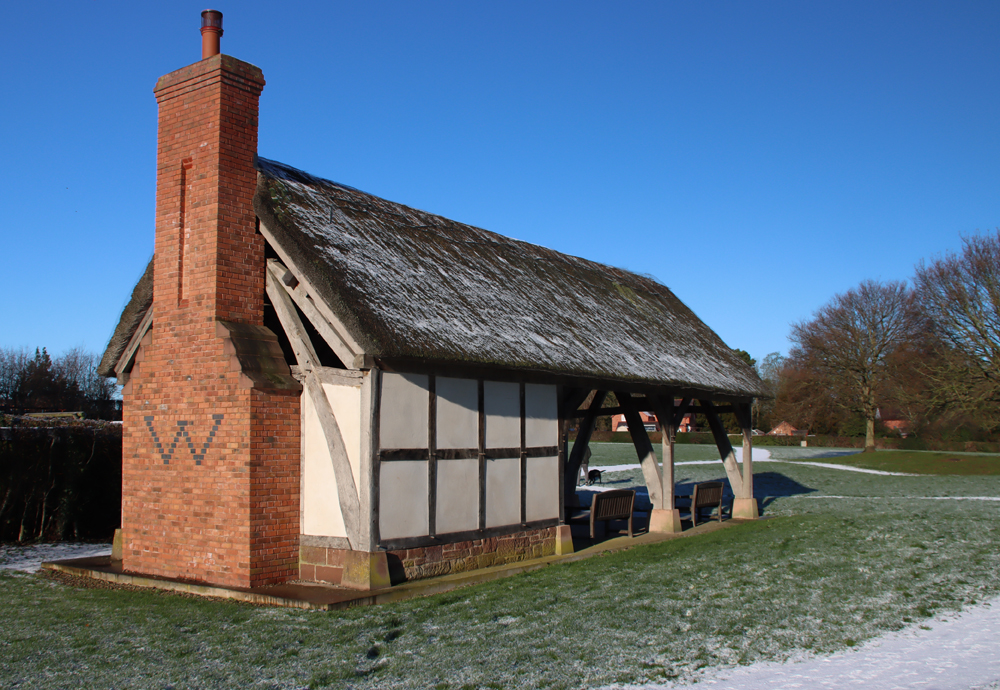
The tollgate was usually accompanied by a toll cottage. The Grade-2 listed, two-storey brick-built Cross Cottage in Churton is built across the junction between Chester Road and Pump Lane and, by virtue of the fact that it was built to serve the turnpike, must have been built at around 1854. It is strategically located just to the north of where the road splits into two, one road going into Farndon and the other proceeding via Stannage Lane, to Crewe-by-Farndon and on to Worthenbury. Both roads were part of the turnpike, with the Farndon section a branch of the main turnpike to Worthenbury. The attractive recessed arch, which is at both front and rear, was once centred in the middle of the building, and was provided with a slender band of sandstone between the upper and lower floors. An extension of uncertain date, possibly the 1930s, breaks down this symmetry, although it was done sympathetically using almost identical bricks to the originals but does not repeat the sandstone band.
The roof is currently hipped (converging in from four sides onto a central ridge), but before the addition of the extension, the roof was probably pyramidal, converging from four sides onto a single point. The original roof was probably also made of slate, as today. There are two chimneys today, but there will only have been the one in the 19th Century, with a central flue. Although it was Grade II listed in 1984, there are no details on the Historic England website about the interior, and whether any of the 19th Century interior survives in tact.
The listing details are as follows:
- NGR 4180856444
- List number 1228714
- First listed 28th December 1984
Toll collectors could improve their wellbeing by keeping livestock and growing fruit and vegetables in the confines of their properties, and some toll cottages were provided with a small amount of land that could be used for either the keeping of livestock or the development of small horticultural plots. Cross Cottage was provided with a large garden that could have been used for either.

The bridge at Worthenbury. My photograph CC BY-NC-ND 4.0
I went looking for any other toll cottages that might have been built along the road. On some turnpikes additional toll gates were added as a way of trusts earning more revenue, but there was nothing that looked remotely like a toll cottage. There should have been one at Worthenbury, the end of the turnpike. In cases where a river crossing was present, toll gates were often set up against a bridge, making it more difficult to evade, but although there is a beautiful old bridge in Worthenbury, the western side of it is open fields, and the eastern side is now the site of a modern home, part of a housing estate. The bridge replaces one that was damaged by floods in 1872, and was built in 1872-3. This was the period when the Chester-Worthenbury turnpike was amalgamated with the Chester-Whitchurch. Still, tolls would have required ongoing collection, and if there was a toll gate here, there’s no sign of it now.
The toll collectors
There is a toll-house at Churton so it of course follows that there must have been at least one toll collector, possibly accompanied by his family. Regrettably, I have not yet worked out who he/they might have been, because the commercial directories available online don’t mention a Churton toll collector during this period (the1857 Post Office Directory of Cheshire and the 1864 Morris & Co.’s Directory of Cheshire). Whilst the Delta variant of Covid is still at large, it’s probably not a good idea to start hitting the record offices, but perhaps someone who has checked into the available resources can illuminate me. Speculating, this absence from the directories may be because although early turnpikes were manned by manor employees and then by specially hired toll collectors, the appointment of later collectors was given into the hands of specialist contractors, who would bid for the lease at auction. It may be that under such conditions, the toll collectors were deemed to be transient members of the community.
 Toll collectors had an ambivalent position in local society. Because toll charges were lengthy and complex, incorporating a large number of variables, a toll collector needed to be both literate and numerate, and hopefully (but not always) trustworthy. As people of responsibility, often living in custom-built homes with their families, toll collectors might be people of high status within a community. Although in many ways, toll collectors were about as popular as tax collectors are today, they provided a vital role. A toll house could bring prestige to an otherwise fairly nondescript community, even attracting the building of inns where passengers could purchase refreshments and where carriage horses could be rested or changed, meaning that gentry and clergy could be regular visitors, raising the status of an entire village.

The 1898 mile post at Shocklach. My photograph CC BY-NC-ND 4.0
The toll charges for Chester-Worthenbury are probably described in the 1854 Act, but this too is not available without tramping the real-world archive trail, and I will update this post when I have the chance to check this out, as a copy is apparently available locally. Each turnpike Act set out the maximum toll chargeable for each animal and category and size of vehicle, and all the multiple variables of each.
As I said in Part 1, the mile posts that dot the western verges of the former turnpike post-date the end of the Cheshire turnpikes. Disturnpiked in the 1870s, there must have been mile posts because they were a legal requirement, but when Chester County Council was created on 1st January 1889 and was given the job of maintaining highways, it presumably replaced the original milestones with its own iron ones, all dating to 1898. I have found some of these, marked on the Ordnance Survey map, but not others. The one shown in Part 1 is in Churton and the one shown above is in Shocklach.
The final days of the Chester to Worthenbury turnpike

The lovely Georgian St Deiniol’s Church in Worthenbury. My photograph CC BY-NC-ND 4.0
The Chester-Worthenbury turnpike was never much of a success and was amalgamated with the Whitchurch Trust in 1871. The joint body expired in 1877. Presumably, and not very surprisingly, the Worthenbury turnpike failed to justify its costs, and the Whitchurch turnpike was probably put out of business by the London and North Western Railway. The railway’s important route to London via Crewe had opened by 1840, and the branch that ran from Chester to Whitchurch opened between 1870 and 1879.
An indictment concerning repairs to the road following the lapse of the Act

Rural landscape to the east of the once-turnpiked stretch of road that passes through Churton. My photograph CC BY-NC-ND 4.0
The most interesting part of the turnpike’s history, or at least the most interesting bit to survive, refers to what happened when the Act for the Chester to Worthenbury section had been disturnpiked, and a question arose over responsibility for its ongoing care arose. In 1890 an indictment was raised in Crown Court for failure to repair a highway. The issue was by no means straightforward. The law stated that responsibility for repair of a road that had formerly come under a turnpike trust would revert to common law liability on the lapse of the trust, but only if “the highway remains similar in character to what it was up to the time of the passing of the Turnpike Act.” For those roads that were significantly altered, “as to destroy what was the old highway, the common law liability is put to an end by operation of the law.” In addition, there were ambiguities about the responsibilities for occupiers versus mere owners, where roads were concerned.
The indictment covered several stretches of road that had become “miry, deep, broken and in great decay,” due to “such want of due reparation and amendment.” This included the stretch from Huntington to Farndon. The same allegation was made against stretch from Chester to Saighton. The text from the court case is damning.
 “The liege subjects of the Queen could not and still could not go, return, pass, repass, ride or labour on foot with their horses, coaches, carts and other carriages in, through, and along the said public highway aforesaid as they ought and were wont and accustomed to do, without great danger and common nuisance of all the liege subjects of our said Lady the Queen, her crown and dignity, and that the defendant, by reason of his tenure of certain lands and tenements situate in the said township of Huntington, ought to repair and mend the same.”
It goes on:
“As to the road mentioned in the first count [Saighton was the second] it was proved that before and until the passing of the Chester, Farndon and Worthenbury Turnpike Road Act of 1854, it consisted of an ordinary fenced road.”
The individual who had taken responsibility for repairing the road before it was converted to a turnpike was John Brock Wood, who is recorded in the list of trustees for the turnpike. The record of the indictment states that there was no evidence that he had contributed to its maintenance during the continuance of the Act, but on its expiry in 1876 he resumed repair work, continuing to do so until his death in 1888. The person who inherited John Brock Wood’s responsibilities “the devisee in trust of the said lands” continued to repair the road in the belief that he was legally liable. He provided proof that he had expended £155, £224 and £206 in 1887, 1888 and 1889 respectively.

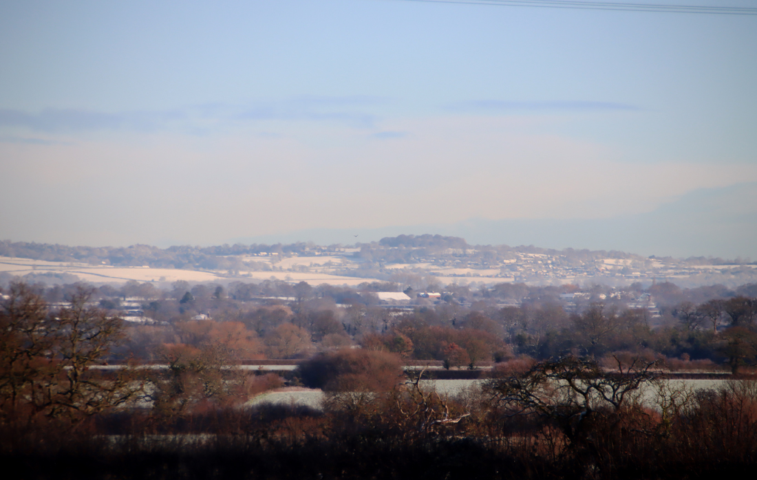
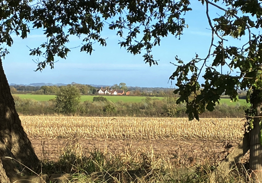
View from the former turnpike over the fields to Worthenbury
The prosecution (Tatham and Proctor for Carrington and Baker, Chester) claimed that as John Brock Wood had accepted responsibility before the establishment of the Trust, it was now the devisee in trust’s responsibility following the expiry of the Act. However, the law stated that if significant alternation had taken place during the conversion of a road to a turnpike, the original owner was no longer responsible for maintenance. In fact, Chester County Council had been approached with a view to taking on responsibility for the road, but they had refused to do so under Section 97 of the Local Government Act 1888. The estimated costs were in excess of £400 and may have been as much as 1000.
The defense (the company Cunliffe and Dawn for Churton, Chester) claimed that the alternations to the road when it was converted to a turnpike were so extensive as to destroy any liability that either he, or for that matter John Brock Wood, should have had. In response, the prosecution argued that by repairing the road, the defendant had acknowledged the liability and could be indicted for non-repair.
 The judge overseeing the proceedings, Lord Coleridge C.J. ruled in favour of the defendant. In his view, citing Rolle’s Abridgement from the reign of Charles I, the occupier and not the owner is the person responsible for repairs, and the defendant was the owner but not the occupier. In addition, he found that the road had been significantly altered, and therefore liability for the repairs should not fall on the original owner or occupier. The indictment was quashed. The judge was concerned that under these circumstances, the “graver question” was if any person was actually liable to repair the road. He does not, however, come to any conclusion about how to resolve the problem.
In the end, Chester County Council must have adopted the road, but this may have been at a much later date. Section 97, “Saving as to liability for main roads,” which they used to avoid the responsibility, falls within Sections 92-98 “Savings.” It reads “Nothing in this Act with respect to main roads shall alter the liability of any person or body of persons, corporate or unincoprorate, not being a highway authority, to maintain and repair any road or part of a road.”
As always, please let me know if you have any questions
or have some more information to contribute


Sources for parts 1 and 2:
Books and papers:
An Act for making a Turnpike Road from Chester, by Farndon, to Worthenbury, with a Branch therefrom to the Village of Farndon, 1854
Benford, M. 2002. Milestones. Shire Publications
Crane, N. 2016. The Making of the British Landscape. From Ice Age to the Present. Weidenfeld and Nicholson
Crosby, A.G. 2012. New Roads for Old. Cheshire Turnpikes in the Landscape 1700-1850. In (eds.) Varey, S.M. and White, G.J. Landscape History Discoveries in the North West. University of Chester Press, p.190-223.
Cunningham Glen, R. 1895. Indictment presented before Lord Coleridge, C.J. Reg. vs. Barker. Reports of Cases in Criminal Law argued and determined in the courts of England and Ireland, vol.XVII, 1890-1895. Reported by R. Cunnigham Glen Esq., Barrister at Law. Horace Cox
Defoe, D. 1724–1726 (Rogers, P. ed.). A Tour Through the Whole Island of Great Britain Penguin (particularly, Volume II, 1725, and its appendix).
Harvie, C. and Matthew, H.C.G. 1984, 2000. Nineteenth Century Britain. Oxford University Press
Hindle, P. 1998 (3rd edition). Medieval Roads and Tracks. Shire Publications Ltd
Keys, D. 2016. Discovery of huge Bronze Age wheel sheds light on transport in prehistoric Britain. The Independent, Friday 19th February 2016
https://www.independent.co.uk/news/science/archaeology/prehistoric-britain-discovery-bronze-age-wheel-archaeology-a6882671.html
Langford, P. 1984, 2000. Eighteenth Century Britain. Oxford University Press
Latham, F.A. 1981. Farndon. The History of a Cheshire Village. Local History Group.
Local Government Act 1888 (51 and 52 Vict. c.41). Section 97, Saving as to liability for main roads.
OS Landranger map 117 2016. Chester and Wrexham. Ordnance Survey
Phillips, A.D.M. and Phillips, C.B. 2002. A New Historical Atlas of Cheshire. Cheshire County Council and Cheshire Community Council Publications Trust.
Pratt, E.A. 1912. A History of Inland Transport and Communication in England. Kegan Paul, Trench, Trübner and Co Ltd.
Project Gutenburg: https://www.gutenberg.org/files/52087/52087-h/52087-h.htm
Pryor, F. 2010. The Making of the British Landscape. How We Have Transformed the Land from Prehistory to Today. Allen Lane
Swallow, R. 2013-14. Two For One: the Archaeological Survey of Shocklach, Castle, Cheshire. Cheshire History Journal, No.53, 2013-4
https://www.academia.edu/4577267/Two_for_One_The_Archaeological_Survey_of_Shocklach_Castle_Cheshire_in_Cheshire_History_Journal_No_53_2013_4_Cheshire_Local_History_Association_2013_
Wright, G. N. 1992. Turnpike Roads. Shire Publications Ltd.
Websites
A Collection of Directories for Cheshire
Cheshire County Council
http://cheshiredirectories.manuscripteye.com/index.htm
British Listed Buildings
Cross Cottage, Churton
https://britishlistedbuildings.co.uk/101228714-cross-cottage-churton
Broughton Hall, Threapwood
Threapwood History Group
http://www.threapwoodhistory.org/broughtonhall.html
Cheshire Tithe Maps Online
Cheshire Archives and Local Studies
https://maps.cheshireeast.gov.uk/tithemaps/
Emral Hall, Worthenbury
Wrexham Online
https://www.wrexham-history.com/emral-hall-worthenbury/
Historic England
Cross Cottage, Churton
https://historicengland.org.uk/listing/the-list/list-entry/1228714
Dig Diary 19: Discovering Britain’s Oldest, Complete Wheel
February 29, 2016
Must Farm Dig Diaries
http://www.mustfarm.com/progress/site-diary-19-discovering-britains-oldest-complete-wheel/
National Archives
Chester and Whitchurch Turnpikes Trust
https://discovery.nationalarchives.gov.uk/details/r/11e8a8d6-43c5-4704-a93b-58fe6d0444a6
National Library of Scotland Mapfinder
OS 6-inch map, 1888-1913
https://maps.nls.uk/geo/explore/#zoom=15&lat=53.09734&lon=-2.86868&layers=6&b=1
Peterborough Archaeology
Must Farm Bronze Age Settlement
https://peterborougharchaeology.org/peterborough-archaeological-sites/must-farm/
Turnpike Roads in England and Wales
Turnpikes.org.uk
http://www.turnpikes.org.uk/Tollhouse%20design.htm
The 1854 Act (excerpt)
Most of the Act is in big undifferentiated chunks, so the paragraphs in the following excerpt are mine, simply to aid with digestion. The URL of the source of this excerpt is at the end, but if you want to see the entire Act, paid subscription is required.
[3rd July 1854]
Chester, Farndon and Worthenbury Turnpike Road Act 1854
(17 & 18 Vict.) c. lxxxvi
An Act for making a Turnpike Road from Chester, by Farndon, to Worthenbury, with a Branch therefrom to the Village of Farndon.
ANNO DECIMO SEPTIMO & DECIMO OCTAVO VICTORIA REGINA. ********.*****************.********************* Cap. lxxxvi. An Act for making a Turnpike Road from Chester, by Farndon, to Worthenbury, with a Branch therefrom to the Village of Farndon. [3d July 1854.]
WHEREAS the Formation and Maintenance of a Turnpike Road from Chester, by Farndon in the County of Chester, to Worthenbury in the County of Flint, with a Branch therefrom to the Village of Farndon in the said County of Chester, would be of great public Advantage: And whereas certain of the Highways in the Line of the said intended Road and Branch, or Portions thereof, might advantageously be made available for the Purposes of such Road and Branch ; but the same cannot be effected without the Aid and Authority of Parliament : May it therefore please Your Majesty that it may be enacted ; and be it enacted by the Queen’s most Excellent Majesty, by and with the Advice and Consent of the Lords Spiritual and Temporal, and Commons, in this present Parliament assembled, and by the Authority of the same.
That in citing this Act for any Purpose whatsoever it shall be Short Title. sufficient to use the Expression ” The Chester, Farndon, and Worthenbury Turnpike Road Act, 1854.” H. That in this Act the following Words and Expressions shall Interpreta have the several Meanings hereby assigned to them, unless there be tion of [Local.] 15 D something Terms. 1302 Appointment of Trustees. Power to appoint additional Trustees. 17 & 18 VICTORUE, Cap.lxxxvi. 171e Chester, Farndon, and Worthenbury Turnpike Road Act,1854. Something in the Subject or Context repugnant to such Construction ; (that is to say,) The Expression ” the Trustees,” or ” the said Trustees,” shall respectively mean the Trustees for the Time being acting in the Execution of this Act : The Word Lands ” shall include Messuages, Tenements, and Hereditaments of any Tenure : The Expression ” Toll Gate ” or ” Toll Gates” shall respectively include Turnpikes, Bars, and Chains. III.
That all Her Majesty’s Justices of the Peace for the Time being acting for the County of Chester, for the County of the City of Chester, and for the County of Flint respectively, together with the Honourable Hugh Lupus Grosvenor commonly called Earl Grosvenor, the Honourable Richard de Aquila Grosvenor commonly called Lord Richard de Aquila Grosvenor, the Honourable Henry Cholmondeley commonly called Lord Henry Cholmondeley, Sir Robert Henry Cunlife Baronet, Robert Ellis Cunliffe, Sir Watkin Williams Wynn Baronet, Sir Philip de Malpas Grey Egerton Baronet, Philip Le Bel- ward Egerton, Samuel Aldersey, Thomas Aldersey, the Rector of Aldford for the Time being, Roger Barnston, Harry Barnston, Thomas Boyden Clerk, Richard Barker, Francis Henry Barker, Thomas Chorlton Glutton, Charles Colley, Hugh Colley, Henry Crane, Tanat Wynne Denton, Thomas Dixon, Thomas Dixon the younger, James Dixon, the Minister of Farndon for the Time being, William Wynne Ffoulkes, Edward Francis French, Alexander Price French, Philip Stapleton Humberston, Thomas Cowper Hincks, Thomas Cowper Hincks the younger, Thomas Hignett, John Hignett, Robert Broadhurst Hill, the Minister of Holt for the Time being, Robert Howard, Francis James Hughes, Townsend Ince, Thomas Jones, John Hurleston Leche, Sir William Lloyd, Richard Massie, John Finchett Maddock, Thomas Finchett Maddock, Townshend Mainwaring, Henry Water Meredith, Robert Buckley Orton, Sir Richard Puleston Baronet, Francis Richard Puleston, Tlieophilus Puleston, Charles Potts, Henry Potts, Charles William Potts, William Parker, John Parker, Richard Powdrell, William Rowe, Samuel Rowe, John Rogers, Thomas Vernon Royle; Joseph Sparkes, John Townshend, Charles Townshend, John Williams, Edward Tilston, John Brock Wood, William Henry Wood, the Rector of Worthenbuiy for the Time being, and their Successors, being duly qualified to act as Trustees of Turnpike Roads in England, shall be Trustees for putting this Act into execution.
That it shall be lawful for the said Trustees, at any Meeting under this Act, to elect any Number of Persons, duly qualified to act as Trustees of Turnpike Roads in England, not exceeding Three in the whole, to be Trustees for, the Purposes of this Act, in addition to the 17 & 18 VICTORIAE, Cap.lxxxvi. 1303 The Chester, Farndon, and Worthenbury Turnpike Road Act, 1854. the Trustees hereby nominated, and such Trustees so elected shall have the same Powers and Authorities for executing this Act as if they had been hereby appointed. V. That the said Trustees shall meet together on the Twenty-first Meetings of Day after the passing of this Act, or as soon after as conveniently Trustees. may be, at the Exchange in the City of Chester aforesaid, or at some other convenient Place in Chester, and shall then and from Time to Time afterwards adjourn to and meet at such Times, and at such Places on or near to the said Roads, as they shall think proper. VI.
That the said Trustees may appoint Committees out of their Power to take the Care and Management of any particular Part point Committees. of the Roads, or to execute any of the other Purposes of this Act, according to such Instructions and Regulations as shall be laid down by the said Trustees at any General or Special Meeting ; and the said Committees and their Officers may proceed and act according to such Appointment, but subject always to the Authority and Control of the said Trustees. VII. That this Act shall be put into execution for the Purpose of Roads to making and maintaining, according to the Provisions of this Act, the which Act is applicable. Turnpike Road and Branch herein-after mentioned ; (that is to say,) A Turnpike Road to commence in Boughton in the Parishes of Saint Oswald and Saint John the Baptist, or One of them, within the Parliamentary Borough of Chester, by a Junction with the Road leading from the City of Chester to Whitchurch opposite and near to a Public House called the “Jolly Gardener,” and to terminate in the Township and Parish of Worthenbury in the County of Flint by Two Junctions with the Whitchurch and Marchwiel Turnpike Road, one thereof at or near to a certain Farm House called “Broughton Lodge,” and the other thereof at or near the Finger Post at the Junction of the present Highway from Shocklach with the Whitchurch and Marchwiel Turnpike Road : A- Branch Turnpike Road to commence from and out of the said intended Turnpike Road in the Township of Churton, by Farndon and Parish of Farndon, at or near the Point where the existing Highways leading from Churton to Farndon and from Churton by Crewe and Shocklach to Worthenbury respectively diverge, and to terminate in the Village, Township, and Parish of Farndon by a Junction with the Turnpike Road leading from Wrexham to Barnhill near to the Raven Inn, all in the County of Chester. VIII. And whereas Plans and Sections describing the Lines and Power to Levels of the said intended Roads, and the Lands through which the make Roads &c. according to deposited Plan, &c. Power to deviate from Plan to a certain Extent. 17 & 18 VICTORIAE, Cap.lxxxvi.
The Chester, Farndon, and Worthenbury Turnpike Road Act, 1854. Same are to be carried, together with Books of Reference containing the Names of the Owners or reputed Owners, Lessees or reputed Lessees, and Occupiers of such Lands, have been deposited with the Clerk of the Peace for the County of Chester, with the Clerk of the Peace for the County of the City of Chester, and with the Clerk of the Peace for the County of Flint respectively : Be it therefore enacted, That it shall be lawful for the Trustees to make and maintain the intended Turnpike Roads.
https://vlex.co.uk/vid/chester-farndon-and-worthenbury-808261441

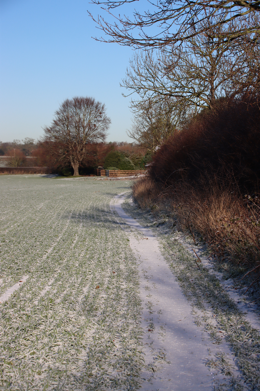
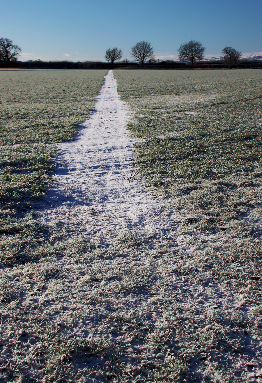
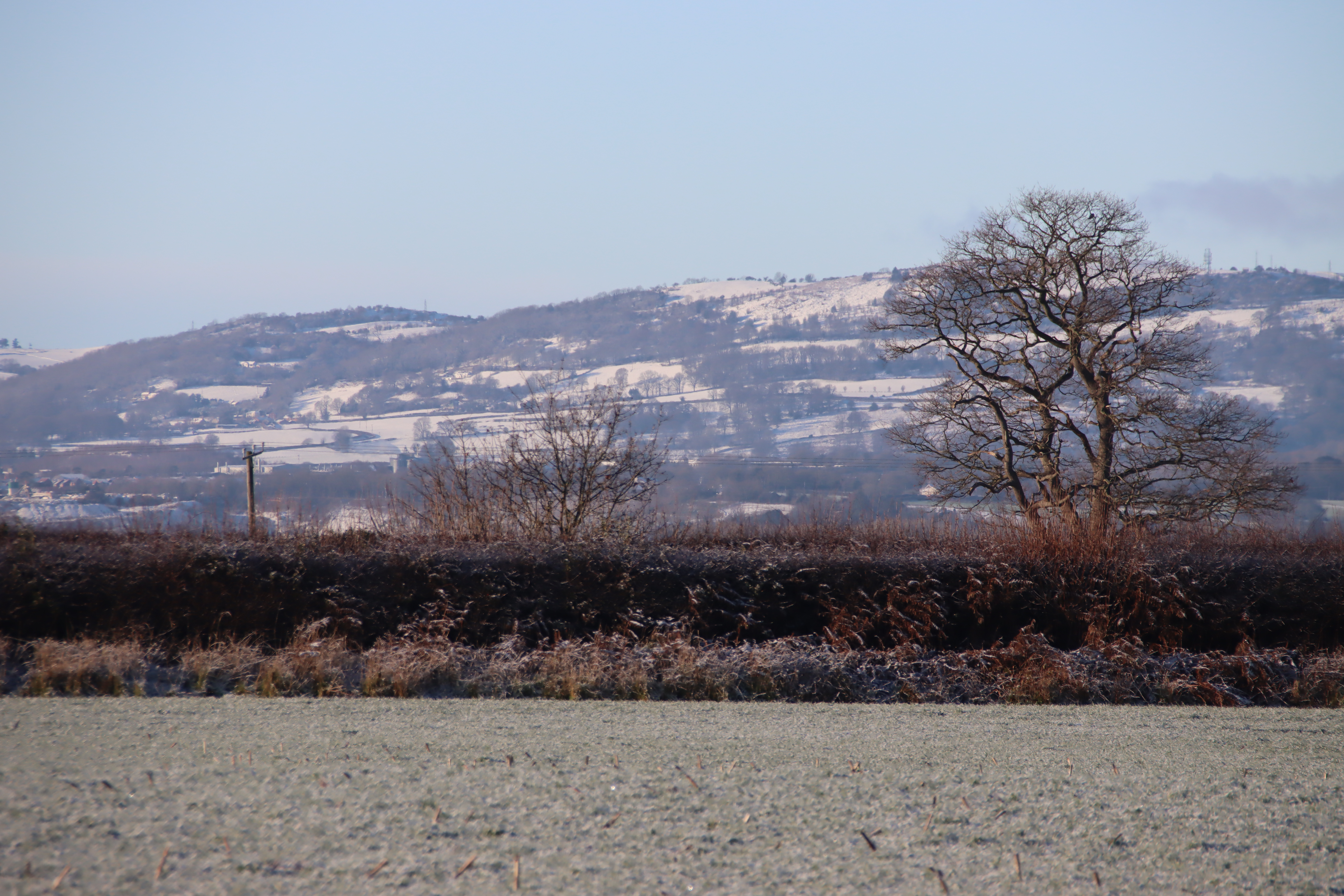
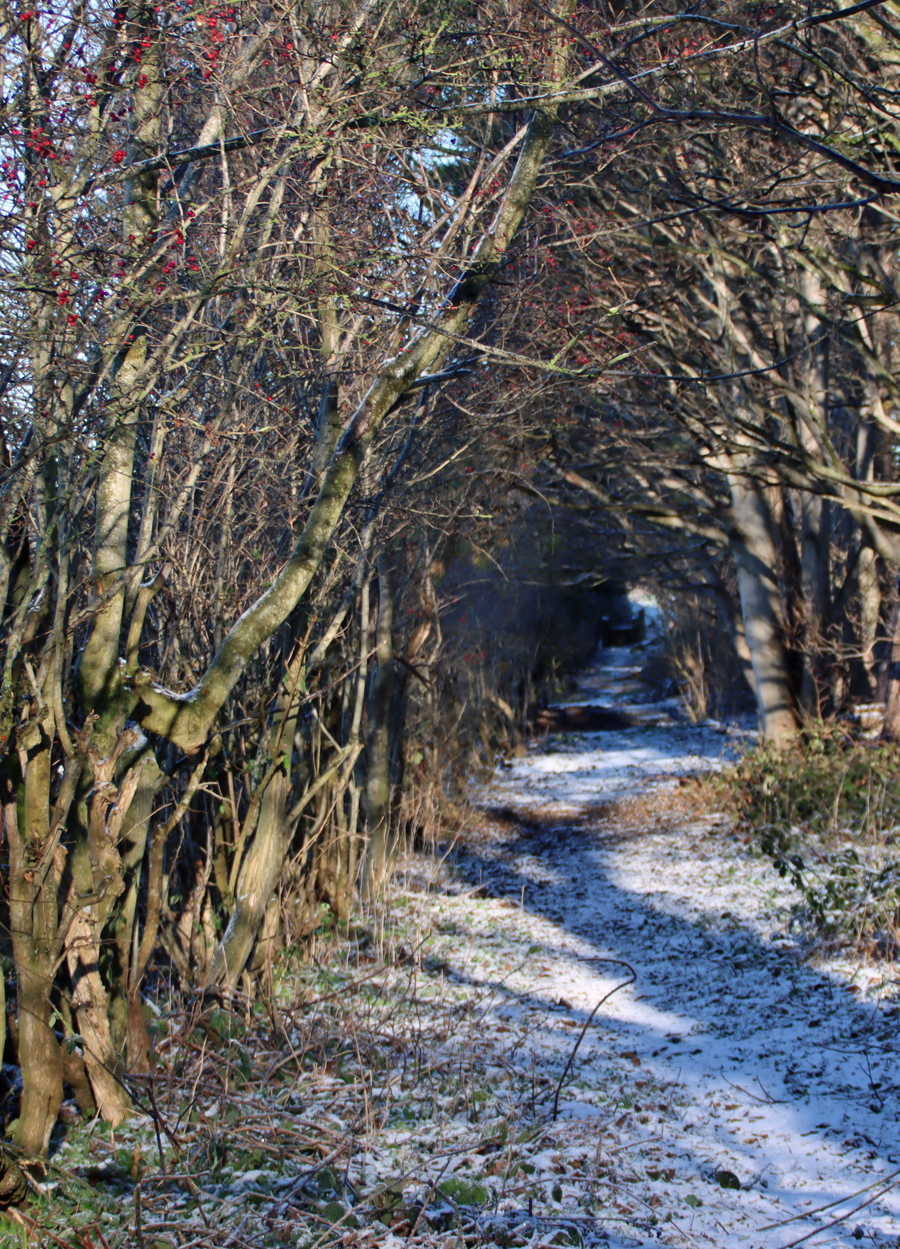
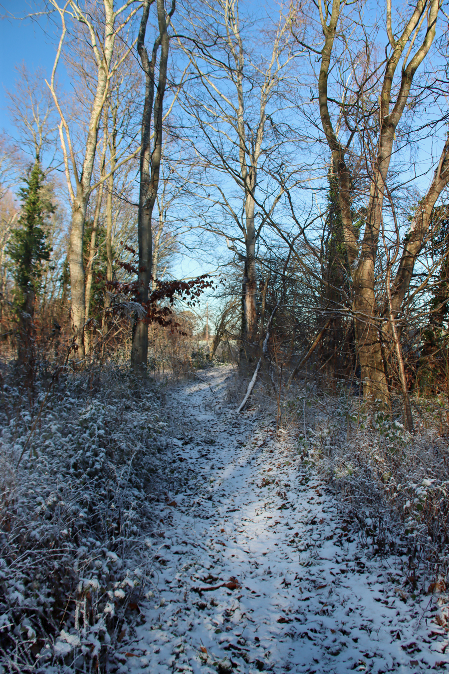
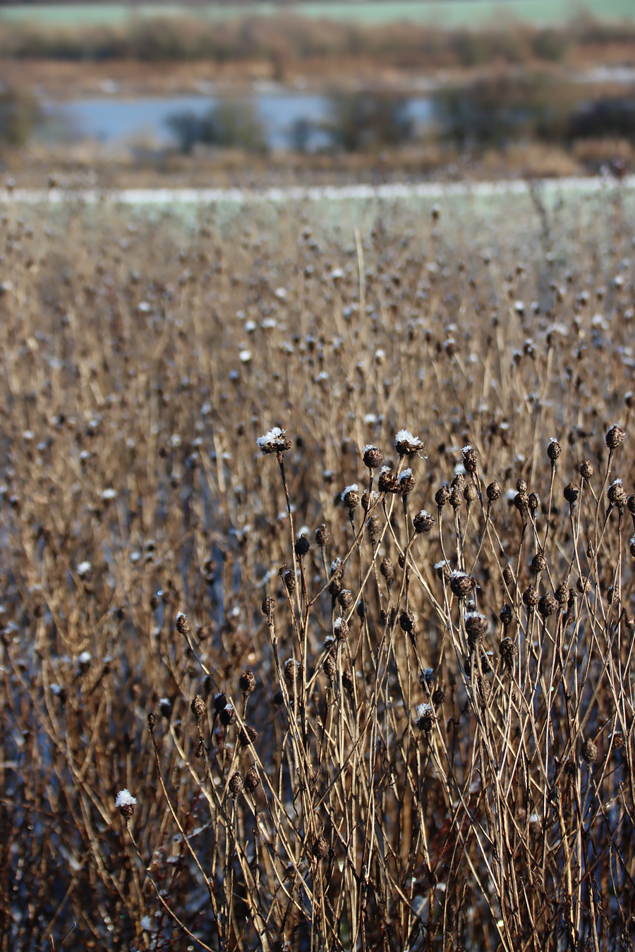
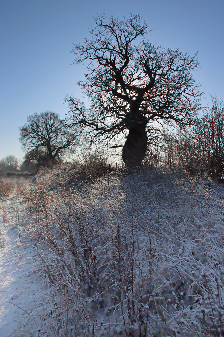
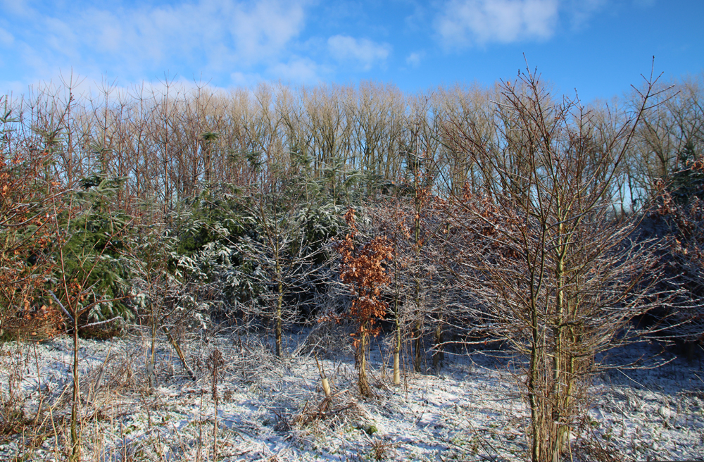
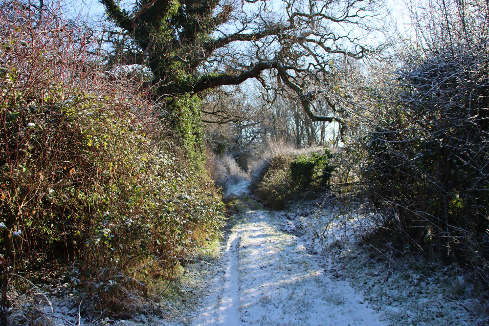
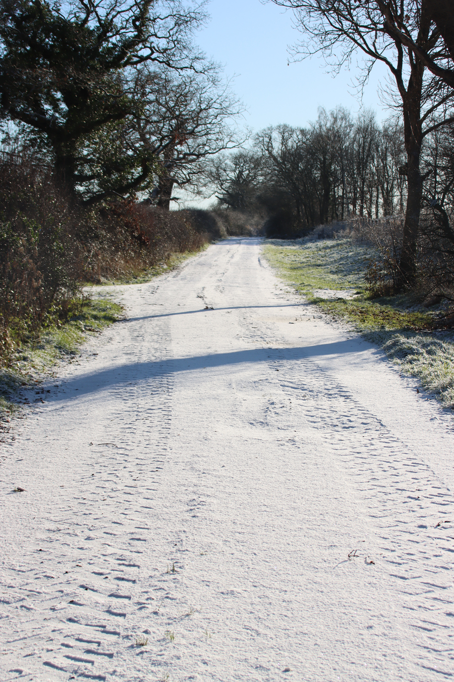
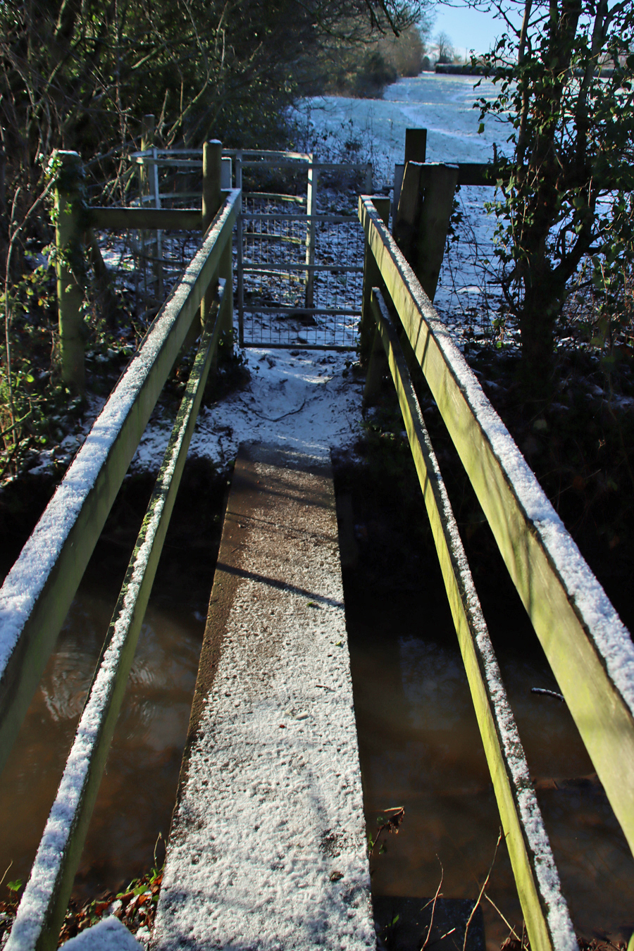
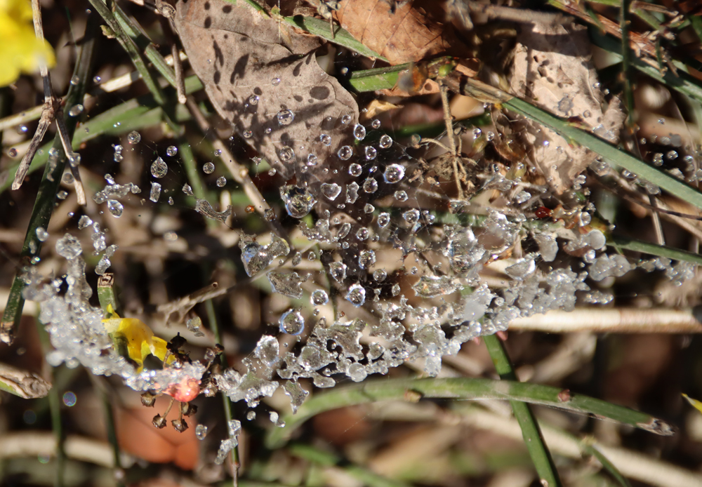
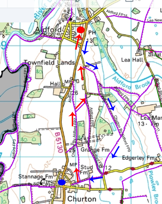
 This is a pretty-pics post. It was a beautiful sunny January day today, after quite a lot of snowfall overnight. My garden was smothered in snow, and the car was fully shrouded. Even so, the sunshine was very warm and it was beginning to melt when I left the house at something past 11am, heading for Aldford and returning via the Roman Road (marked on the map at the end as Churton by Aldford FP9), making a good circuit. The views across the snow-covered fields to the hills to the east and west were lovely, but as always on these snowy walks, sometimes it is the close-up detail that is most lovely.