
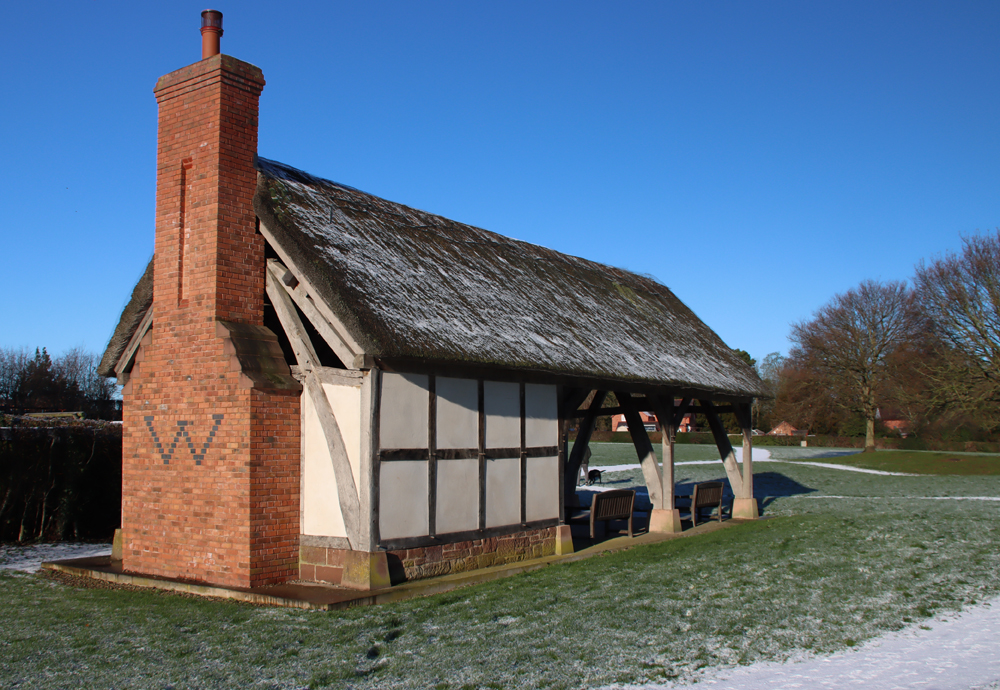
Many thanks to the Clwydian Range Archaeology Group (CRAG) for organizing an Open Day to the Bryneglwys excavations on 9th August 2025, and to Dr Ian Brooks of Engineering Archaeological Services (EAS), who is consulting for CRAG, for an excellent guided tour of the Bryneglwys archaeological site. The volunteer excavators, all CRAG members, were remarkably tolerant of us peering into their trenches as they worked. Thanks are due too to Dr Pauline Clarke for arranging for Chester Archaeological Society members to visit. The site is on private land, so visits are by invitation only, and it was a great opportunity to get a feel not only for the pioneering nature of the excavations, but also for the way in which that particular landscape has been used over long periods of time. I attended with another CAS member, Helen Anderson, and we both enjoyed it enormously.
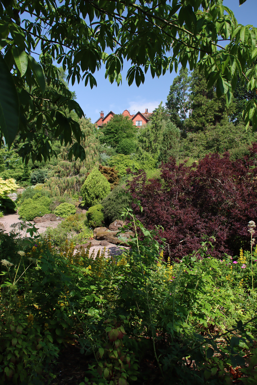
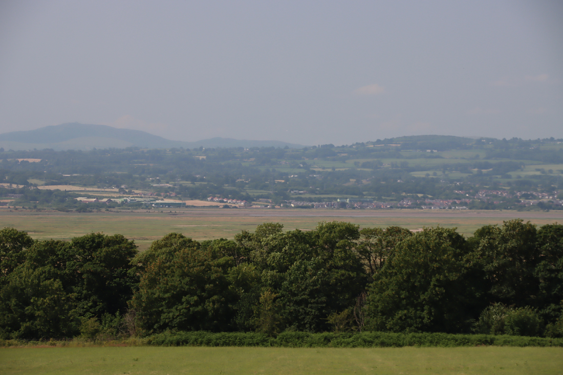
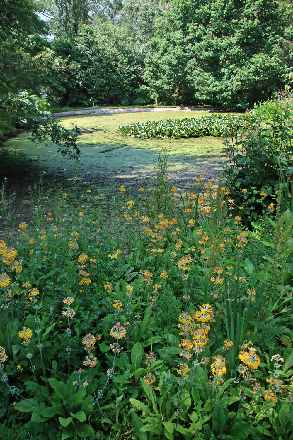
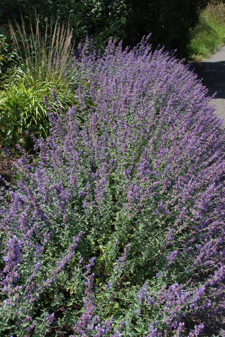
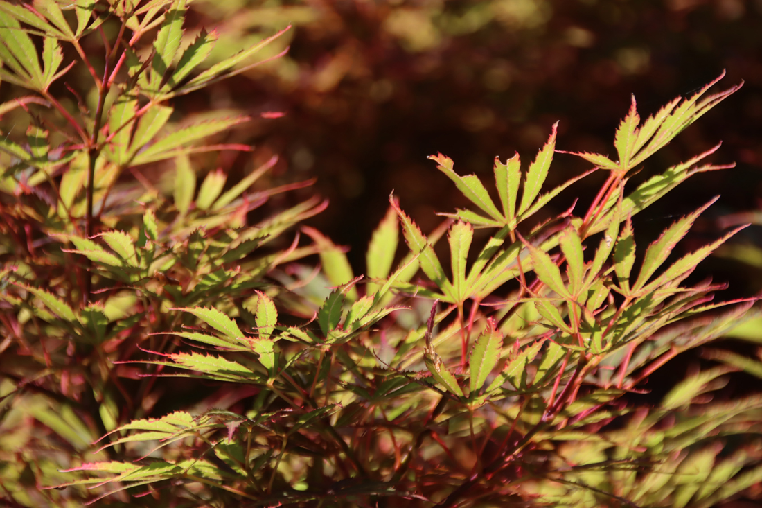
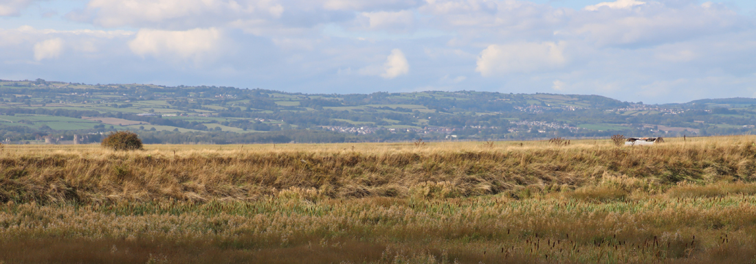
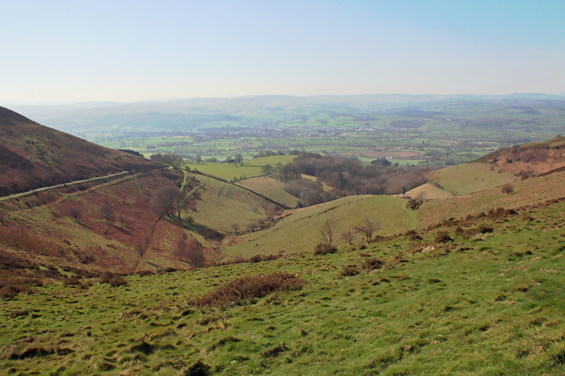
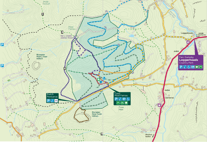
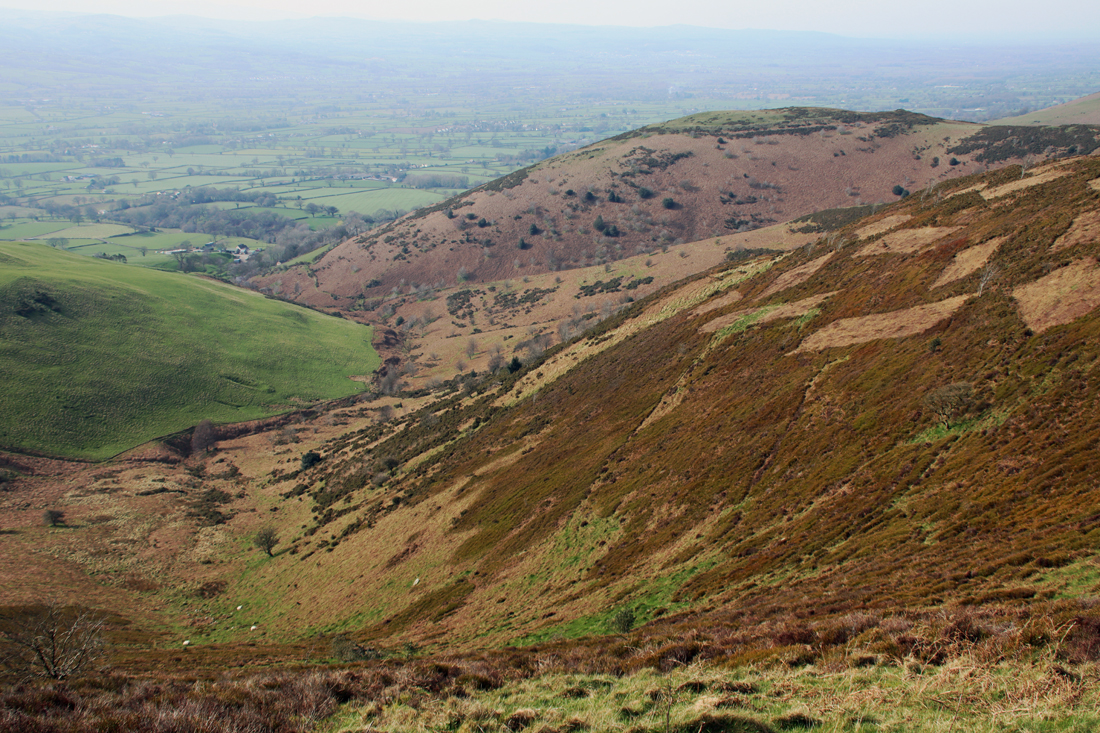
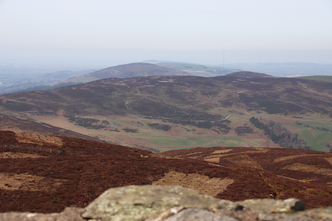
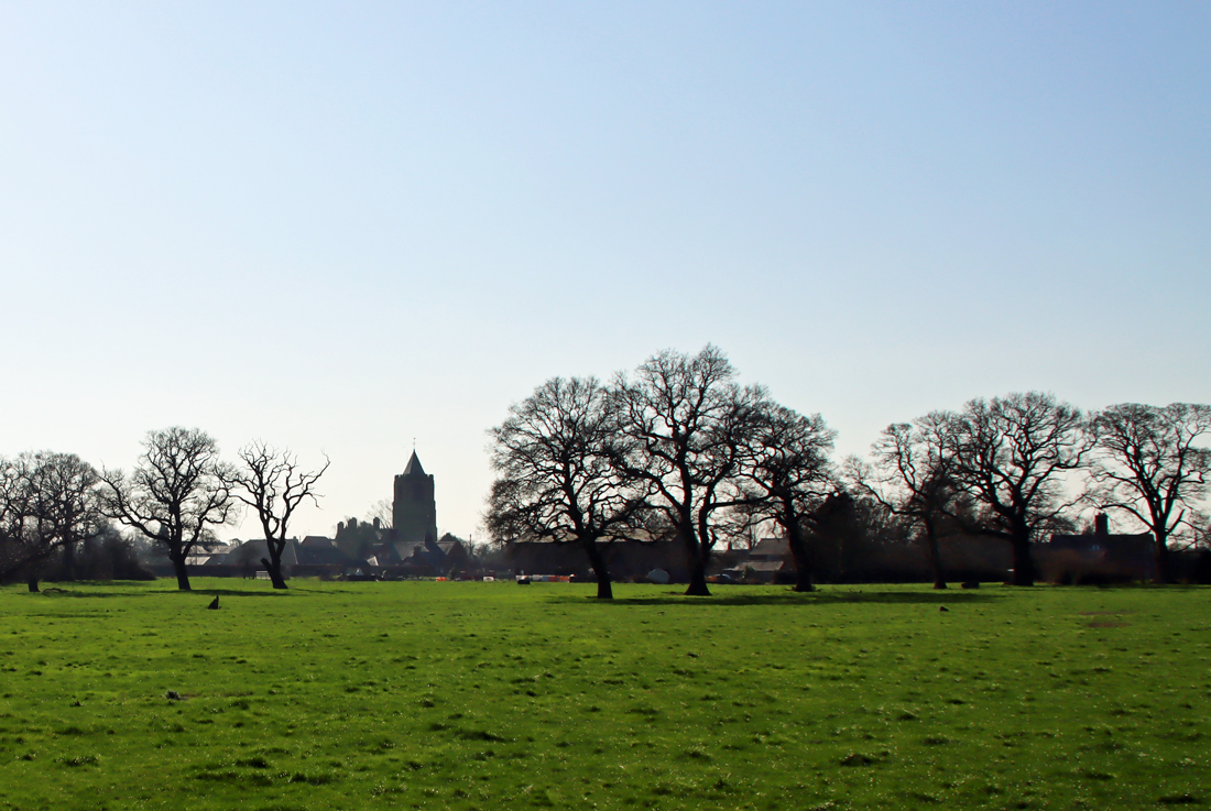
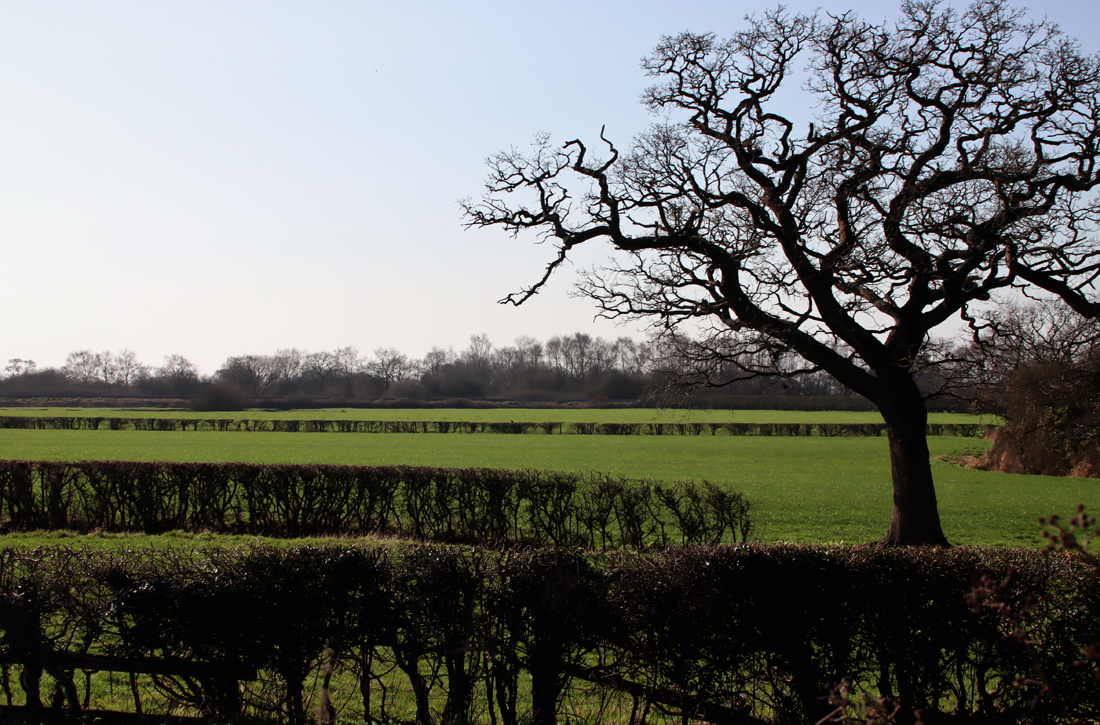
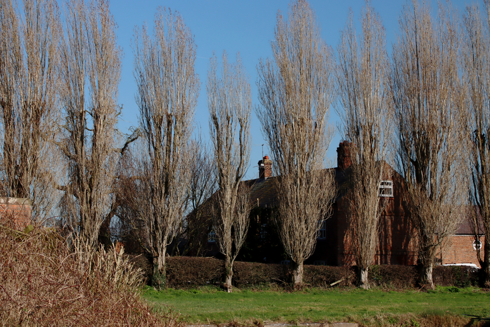
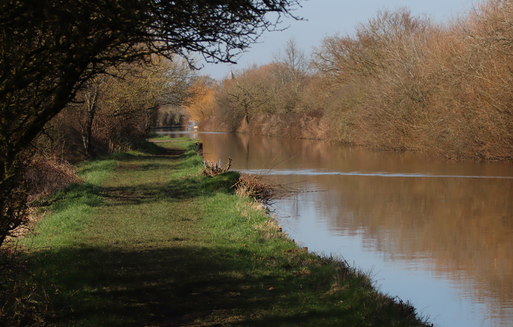
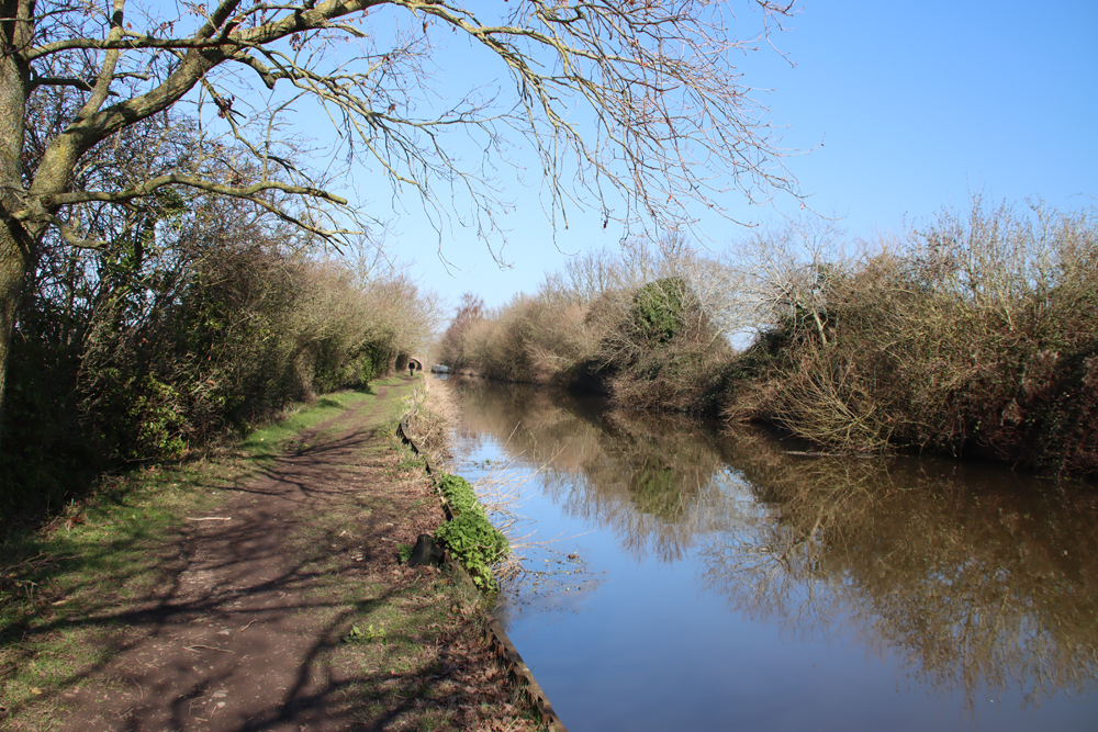
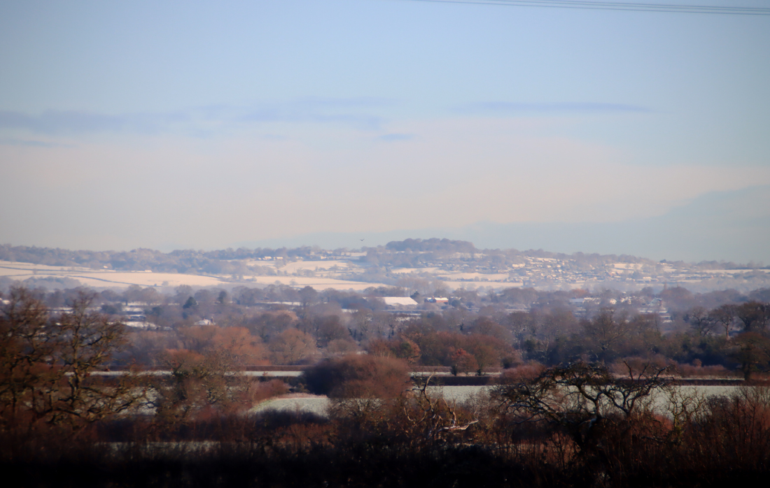
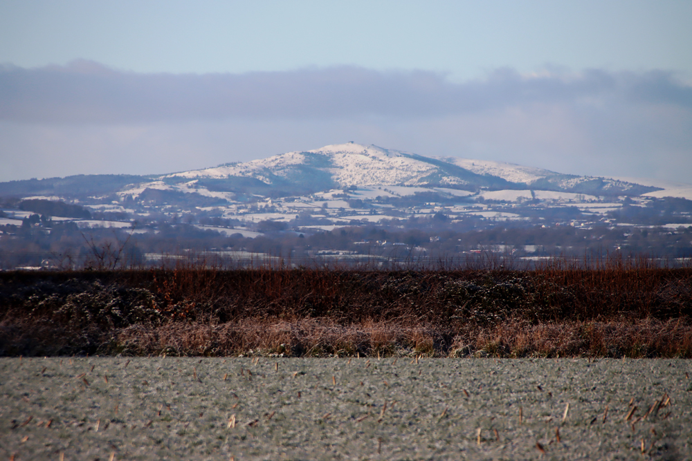
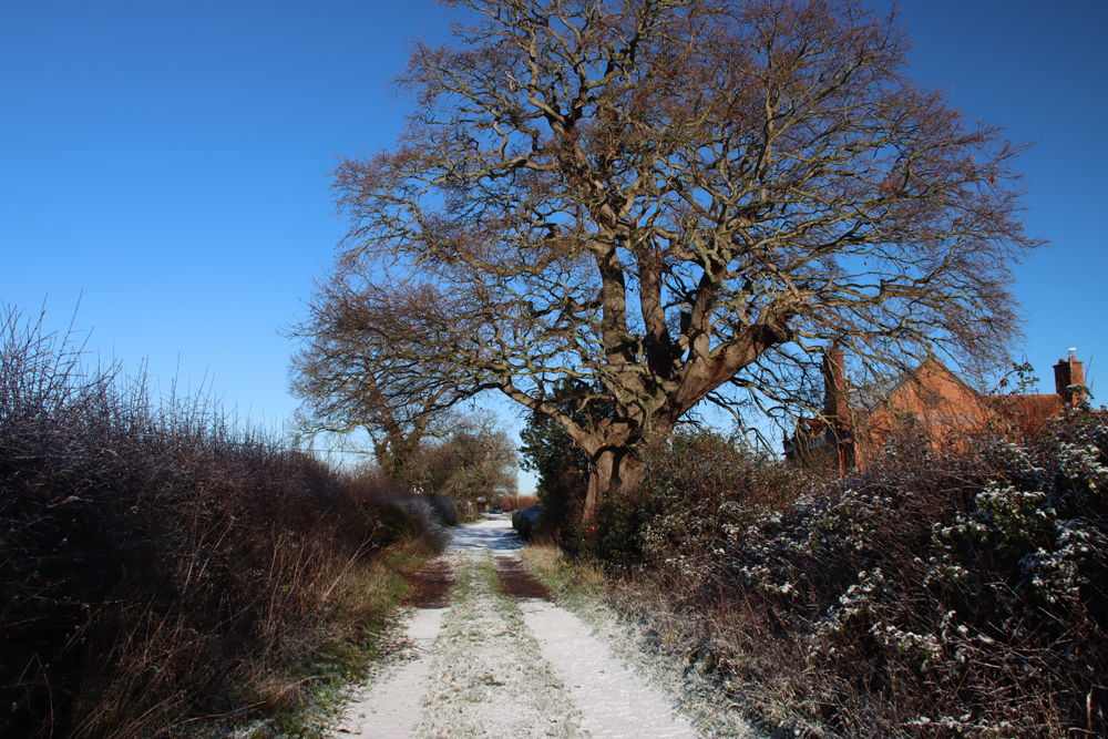
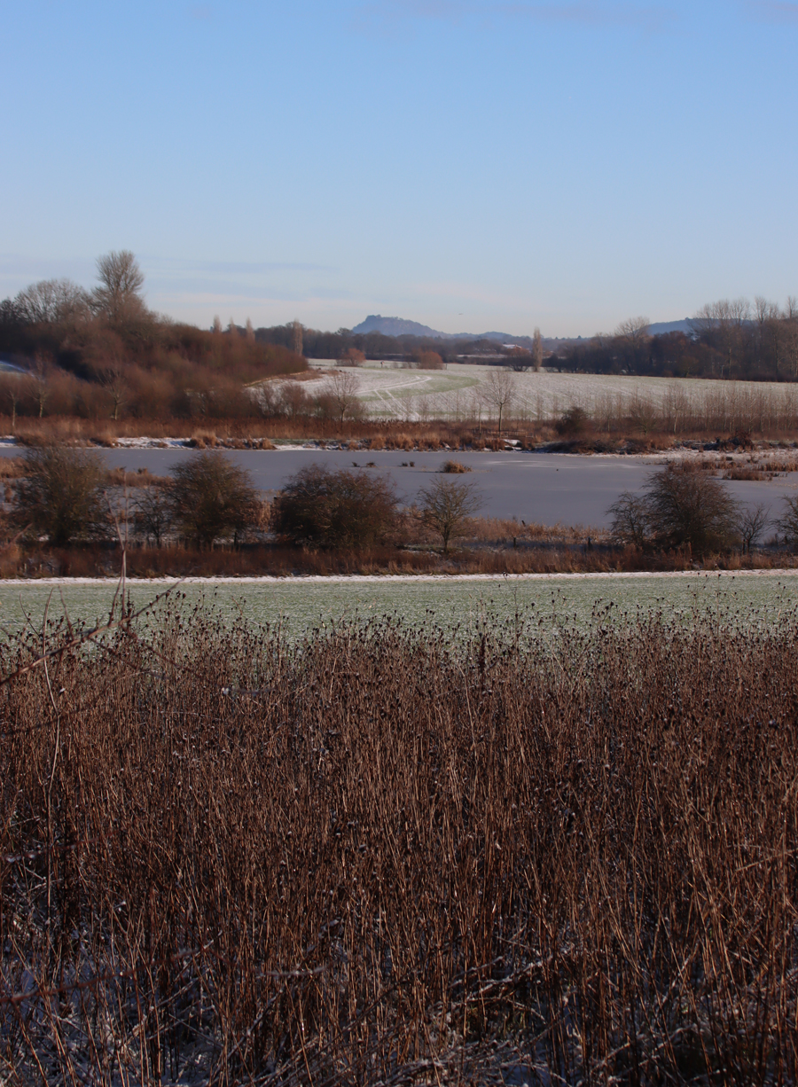
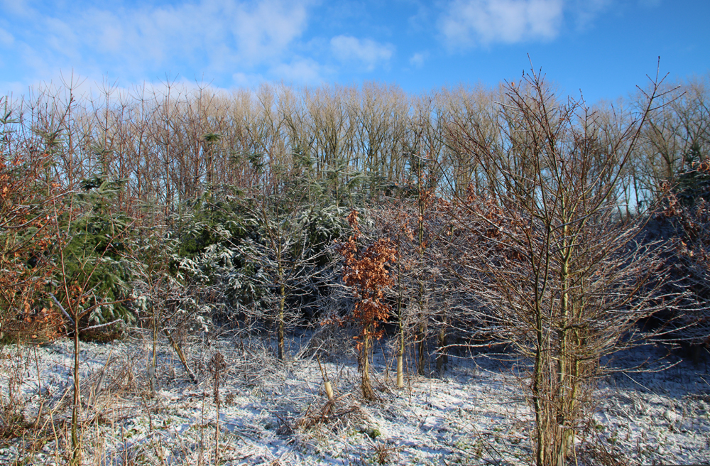
 The site sits on the west-facing lower slopes of the Llantysilio mountain near Bryneglwys, with views both across the valley and down the valley towards the southwest. Unlike the Clwydian range, which runs broadly north to south, with a tilt towards the east, the main line of the Llantysilio mountain runs roughly northeast to southwest, with the valley of Afon Morwynion along its western edge, crossing below the end of the Clwydian Range. It is now followed by the A5104 from Llandegla to Corwen, with the A494 picking up the route of the River Dee, and following it to Bala and Lake Tegid, and beyond into midwest Wales. This has almost certainly been an important route connecting northern and middle parts of Wales with the English northwest at least since the end of the last Ice Age, with Iron Age hillforts standing prominent guard over much of the route.

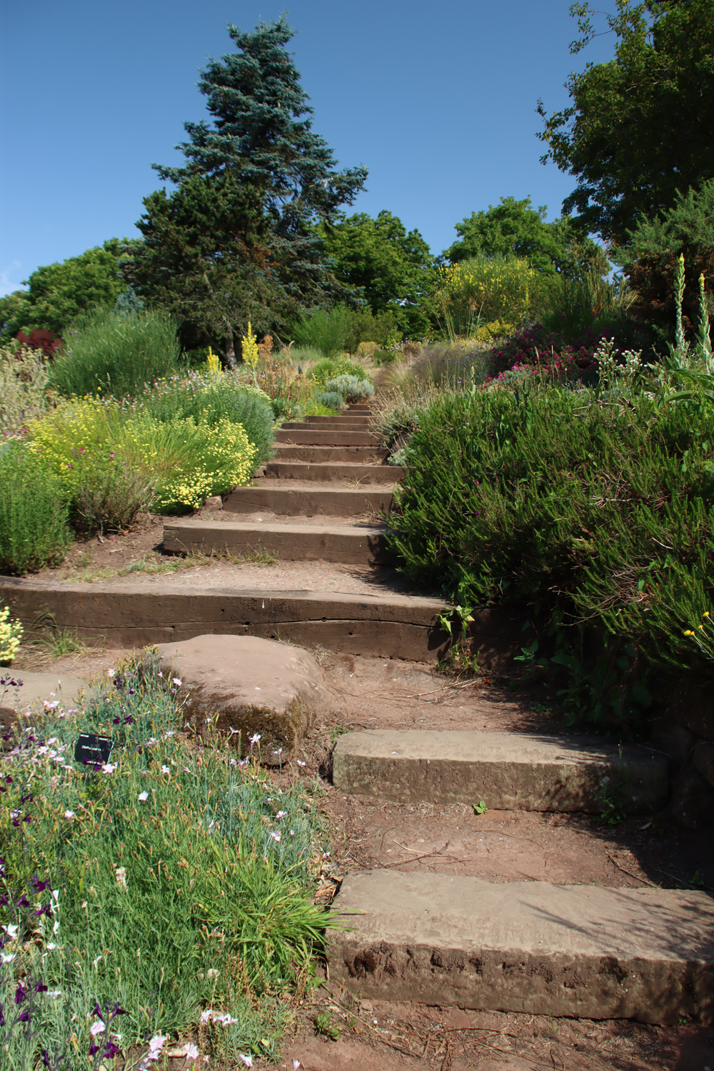
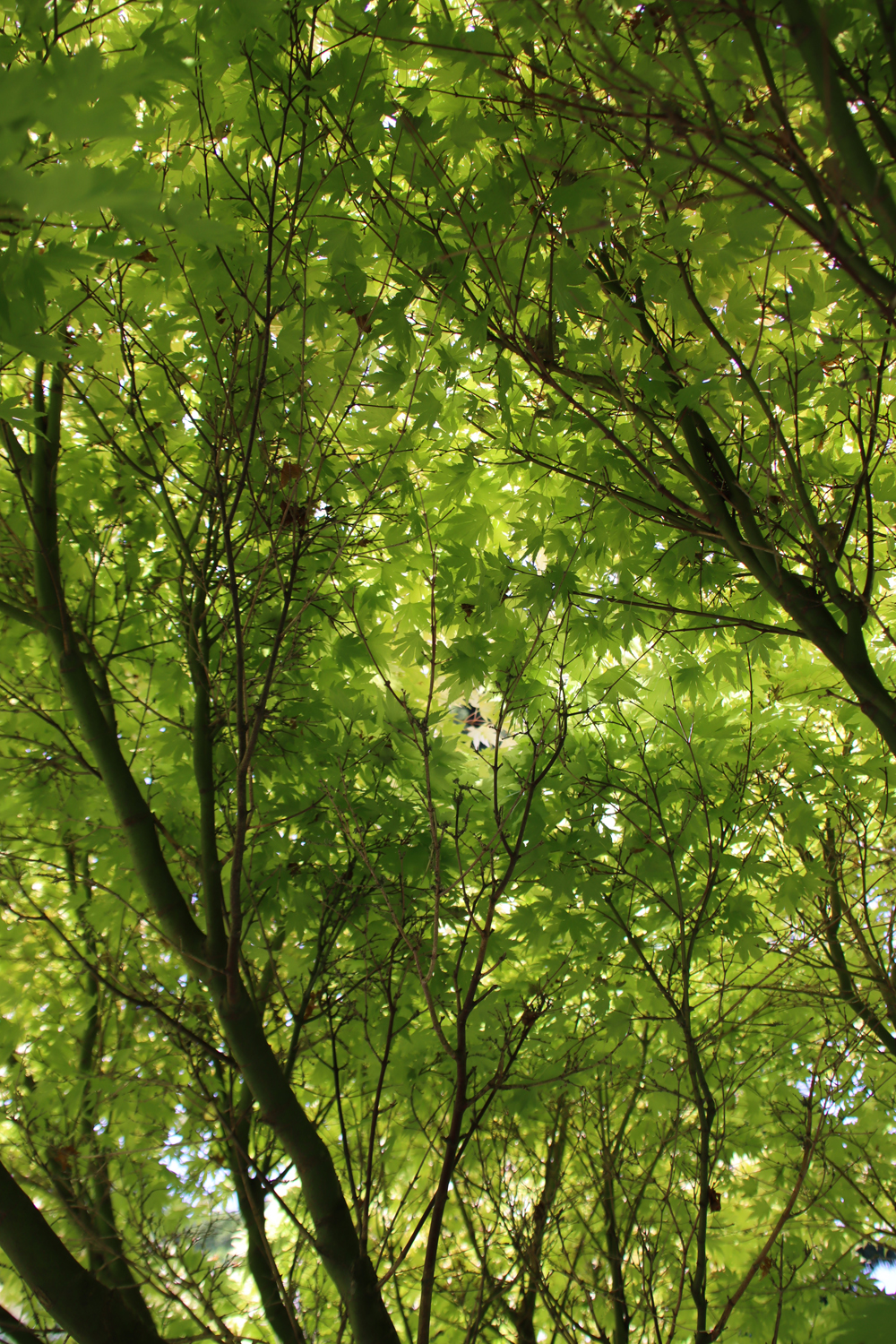
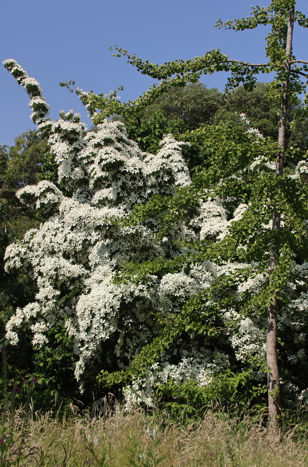
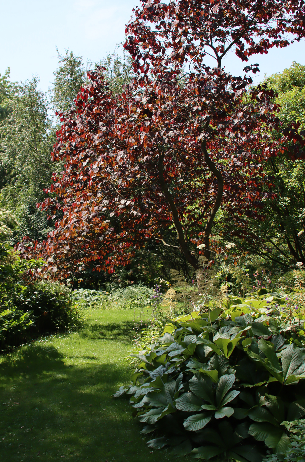
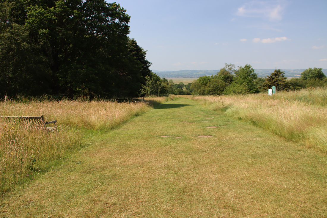
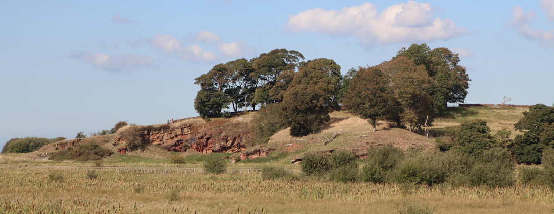
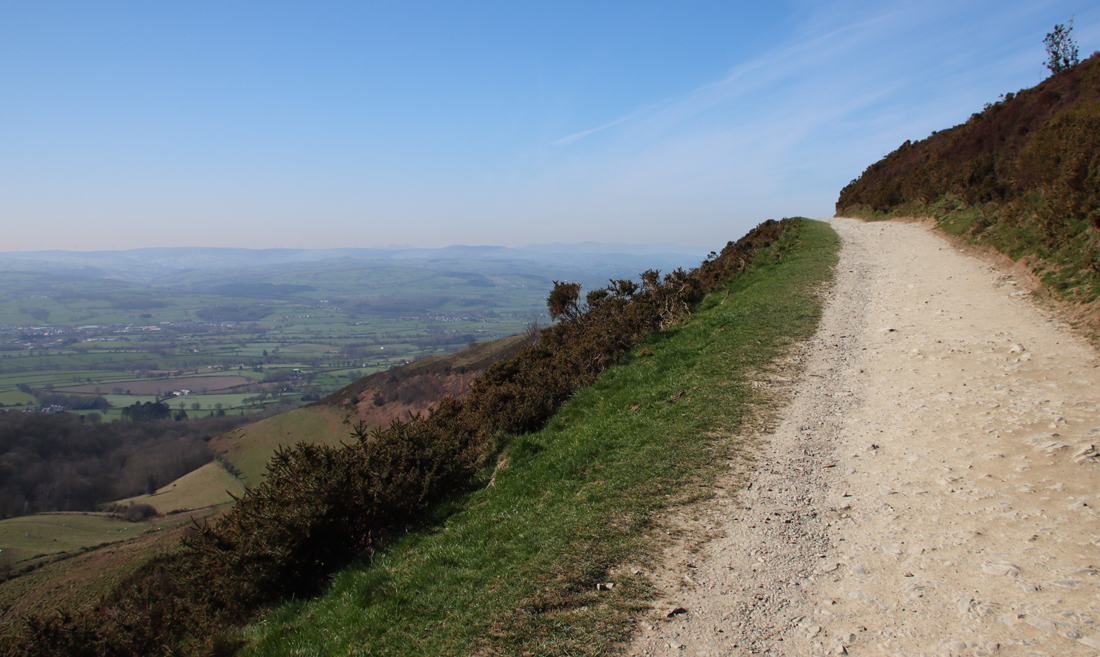
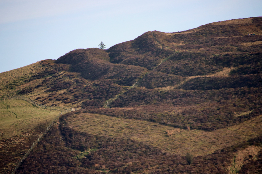
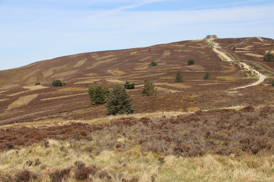
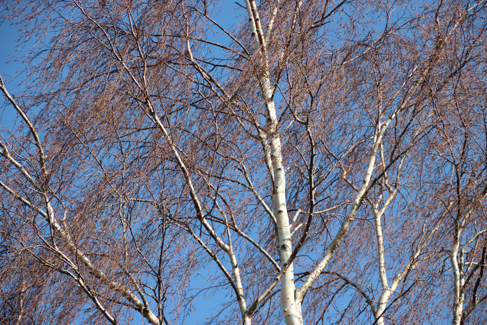
The undulating Llantisylio mountain rising above the village and site of Bryneglwys, its ridge marked by a prominent modern trackway
Research goals
When it was established, the remit of the Bryneglwys project was partly to investigate potential sites identified by the landowner, a keen supporter of the excavations. It was thought that at least one of the sites might be an early-mid Bronze Age cairn. As sites from the period are an important aspect of northeast Wales, and there are very few known from the Llantysilio mountain, this was an opportunity to improve knowledge on the subject and extend an understanding of how these sites were distributed both locally and in northeast Wales. Given the relative proximity of two Iron Age hillforts. Given the proximity of an Iron Age hillfort, it was not out of the question that Iron Age data might be recovered.

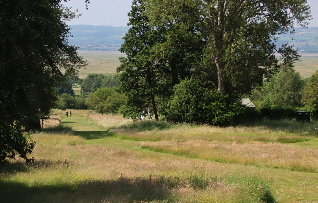
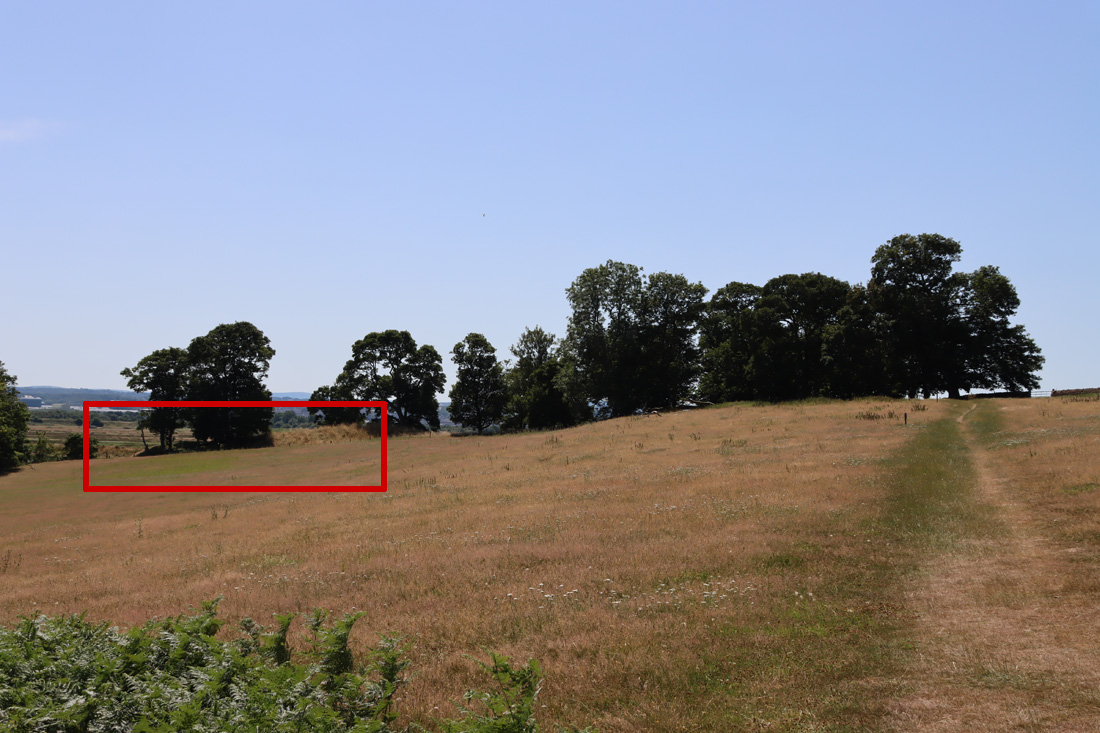
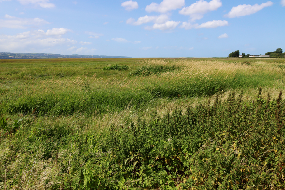
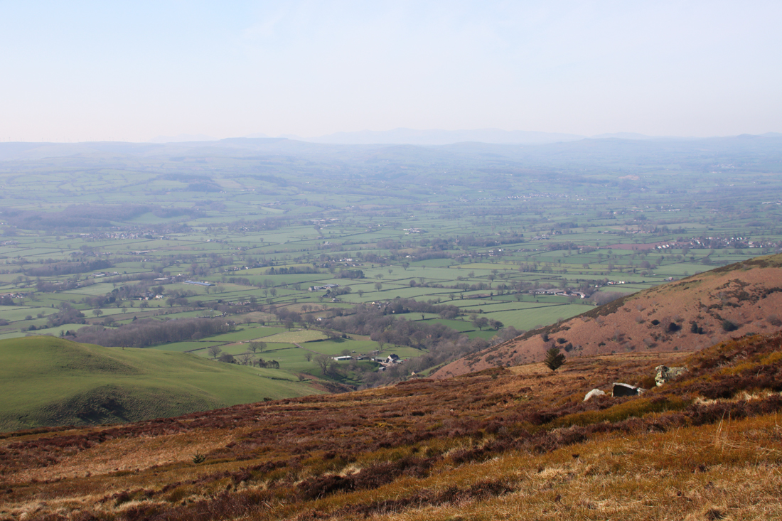
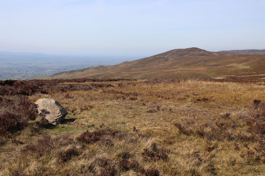
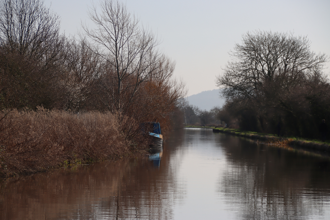
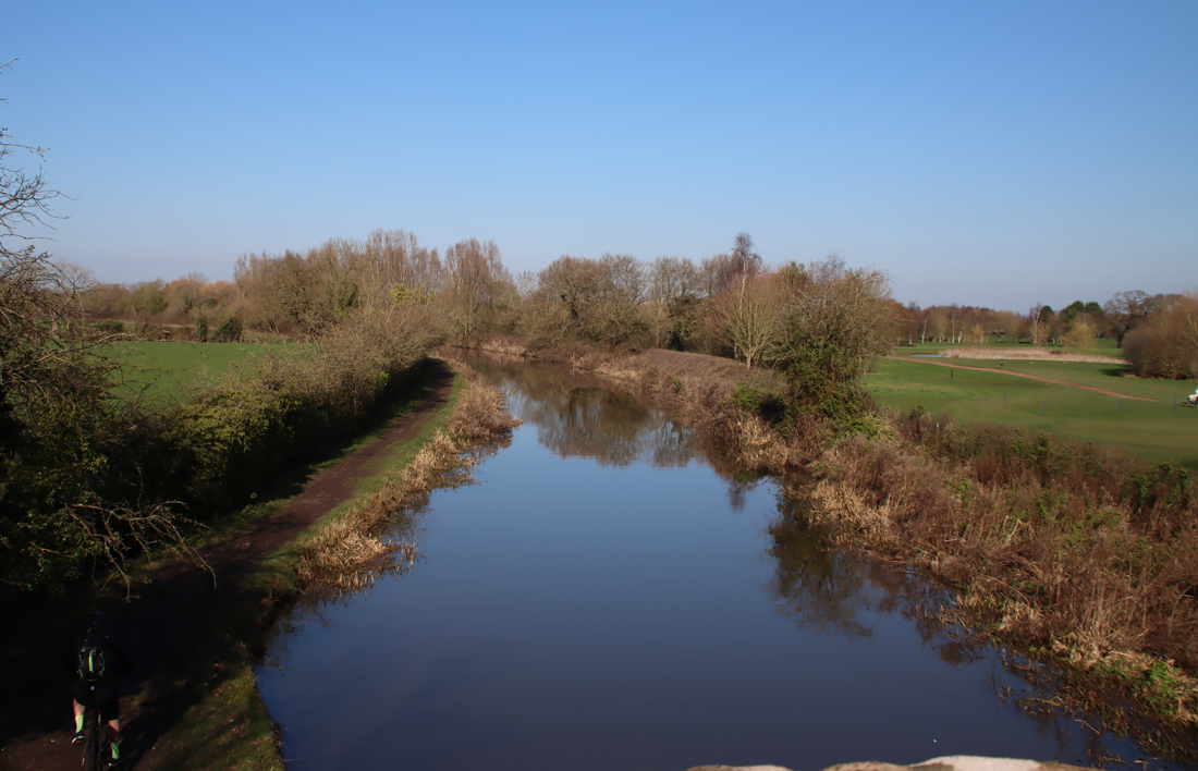
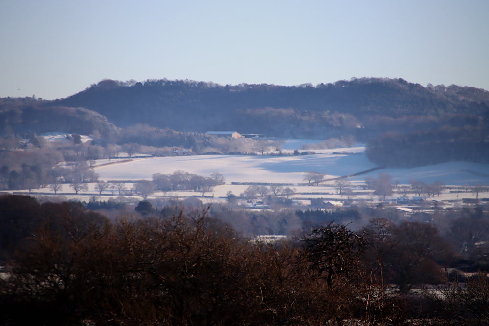
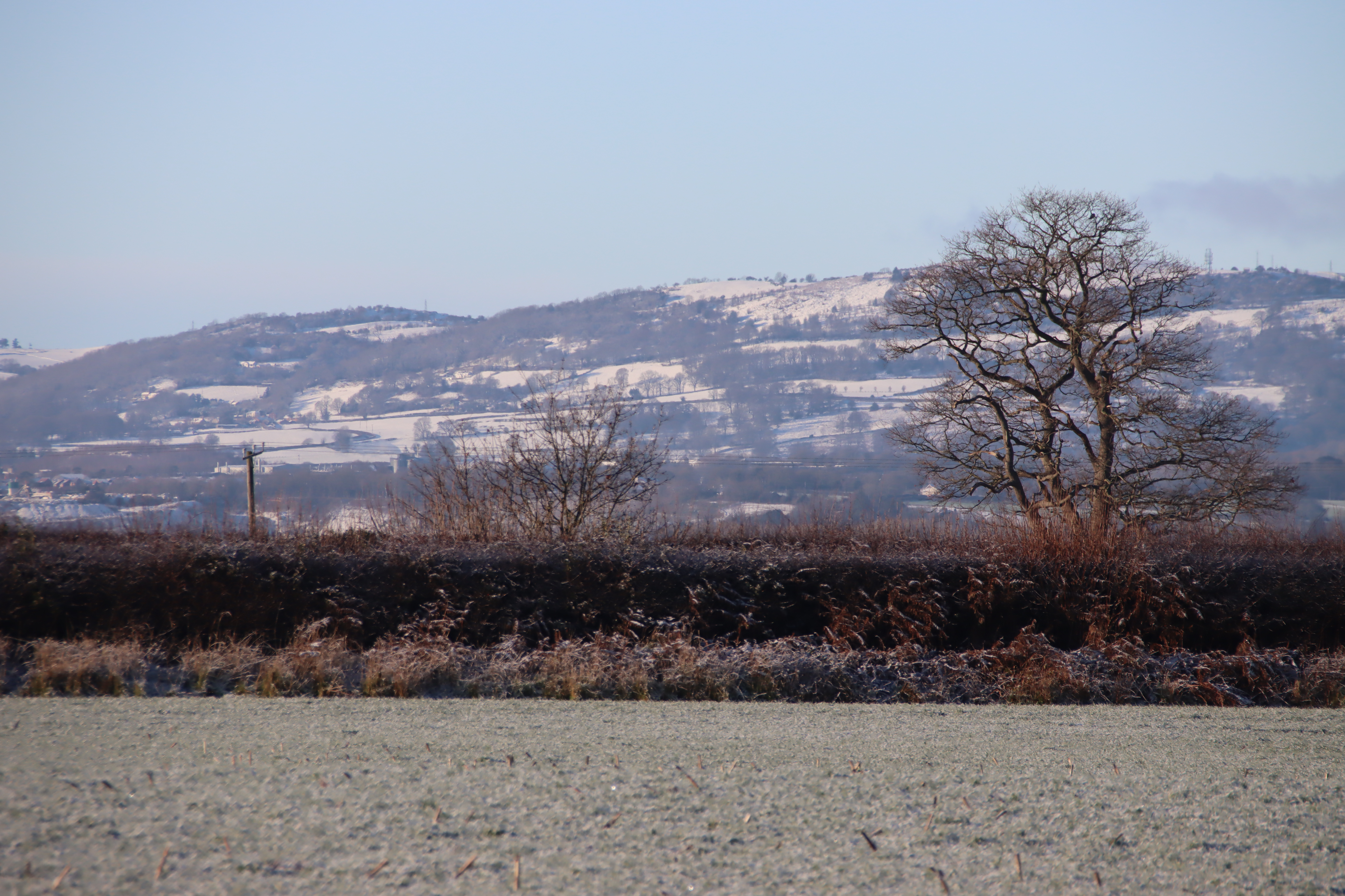
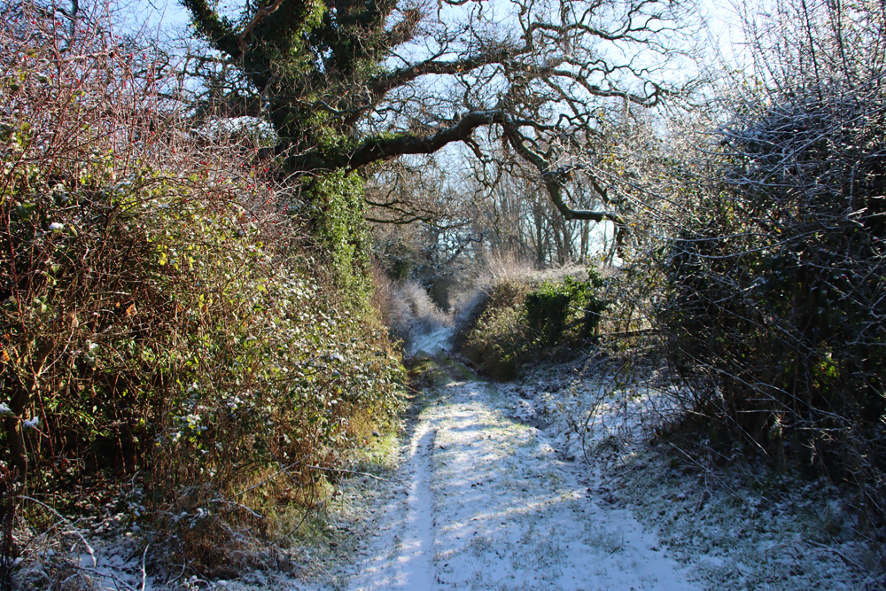
View to the west of the lower Bryneglwys excavation area
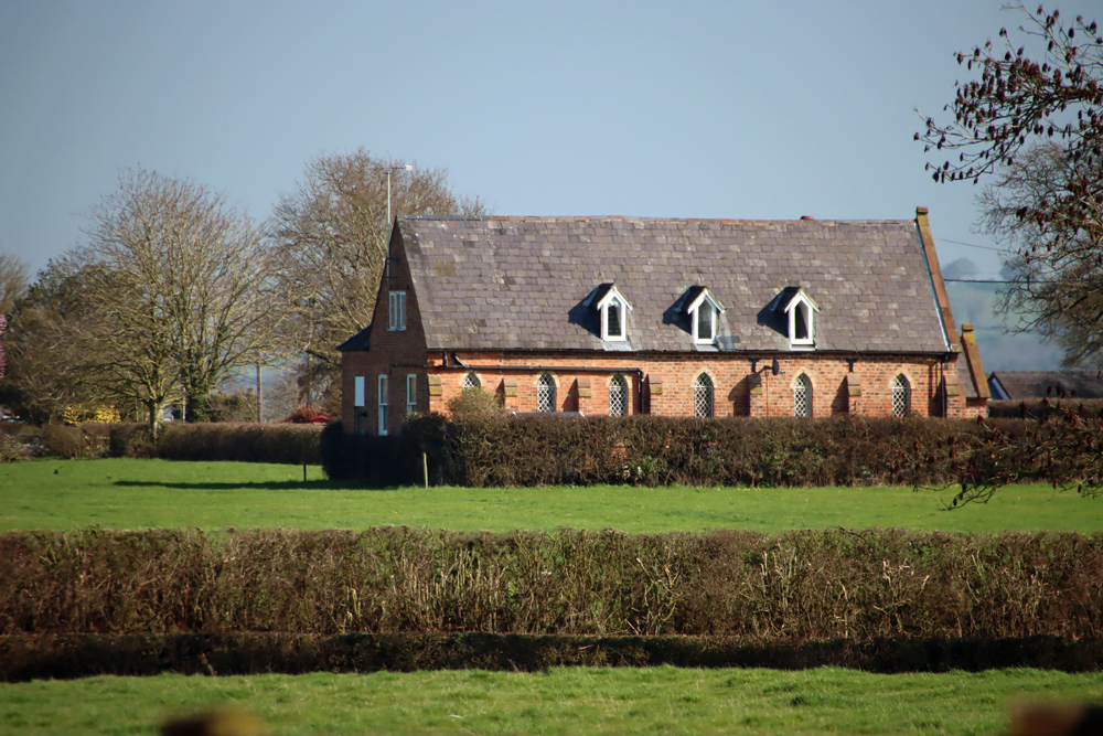
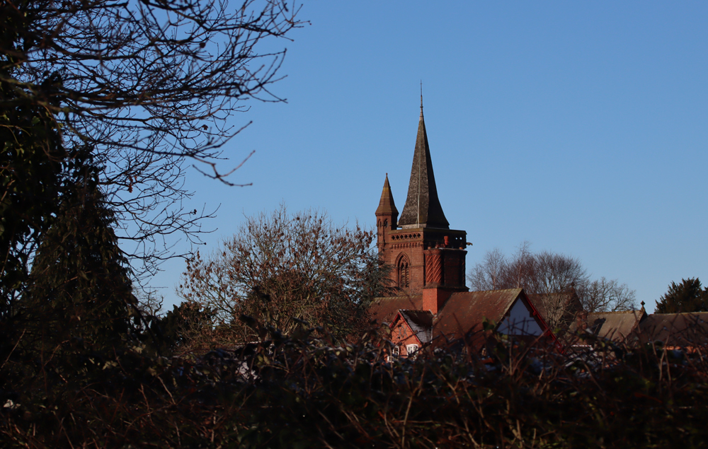
The medieval history of the area was also taken into account. Bryneglwys village is first mentioned by name in documents in 1284. Its church, which dates to the late 15th or early 16th century, contains a 14th century slab. Not far away, just outside Llangollen are the ruins of the 1201 the Cistercian abbey of Valle Crucis, established in 1201 and forced to close in 1537, which may have owned farm property in this location. The economic activities of Valle Crucis Cistercian monastery near Llangollen are not well documented and any archaeological evidence contributing information would obviously be useful. The Clwyd and Powys Archaeological Trust (CPAT) report on the subject of granges in northeast Wales collated the information available, but is far from definitive on the subject, and it would be very useful to know if a grange had indeed been established in the Bryneglwys area.
Finally, as usual in rural landscape investigations, seeing what else turned up in the process, including far more recent use of the landscape, was very much part of project scope and has produced some interesting results about changes agricultural land use and the challenges of dealing with drought conditions.
xxx
Survey and excavations
Initial surveys
 The Bryneglwys project has produced some revealing results touching on some if not all of these areas of interest. The initial investigation focused on non-invasive topographical and geophysical surveys, the combination of which determined where the initial excavations should take place. The topographical investigations located areas where potential archaeological and historical features are visible to the eye, including field boundaries, trackways, a natural spring uphill from the known archaeological features, and evidence of ridge-and-furrow agriculture. The online resource Archwilio was employed to supplement ground-level observations by providing a birds-eye view of the location. The geophysical surveys, allowing the team to assess what might lie beneath the surface level, identified features that seemed non-natural and might be man-made. The excavations have been following up on some of these initial investigations.
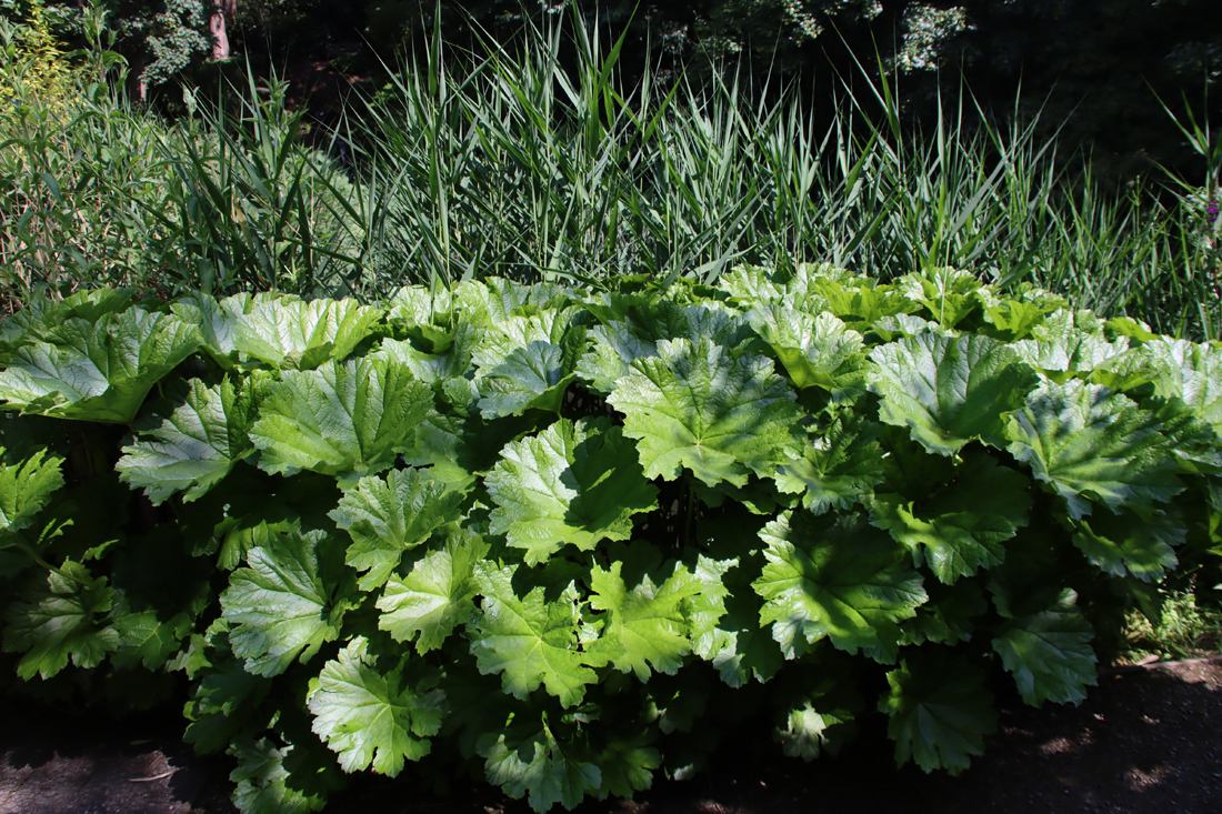
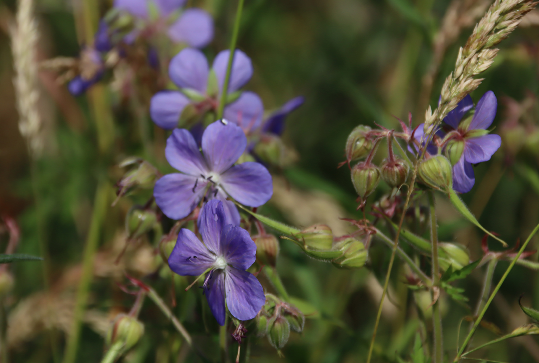
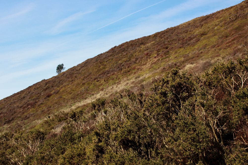
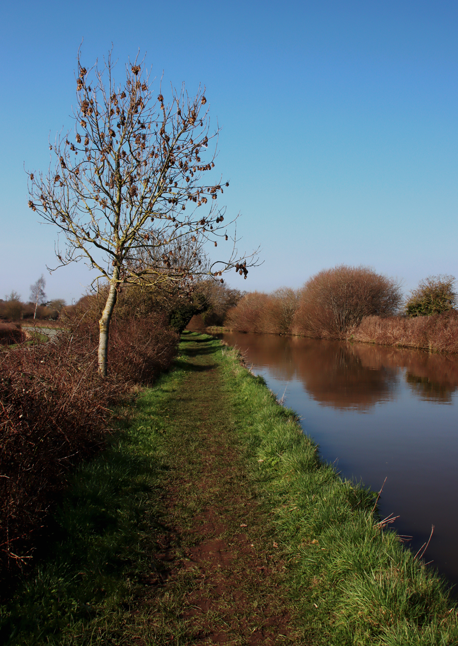
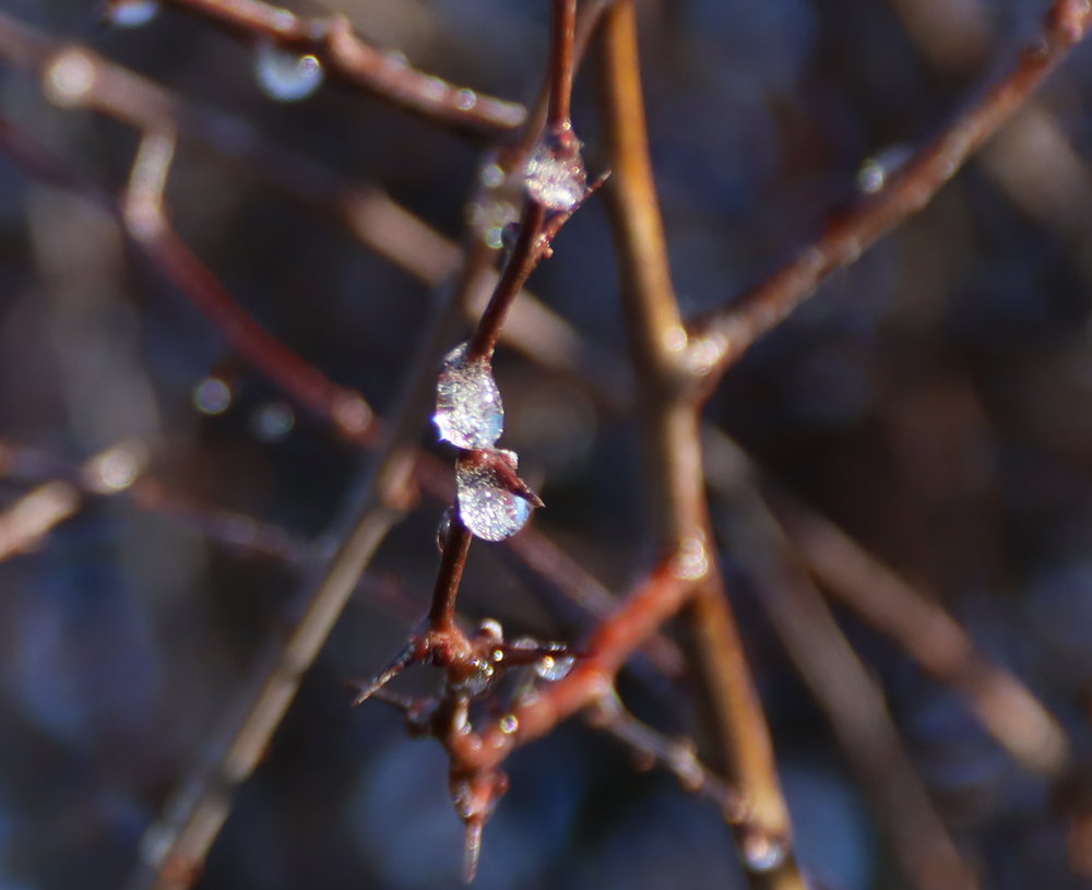
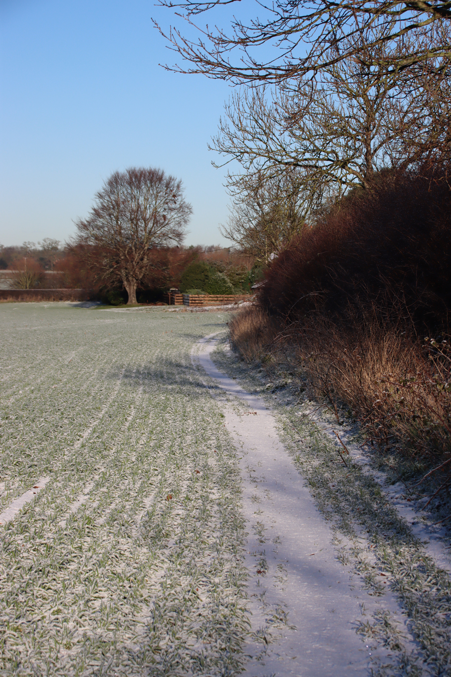
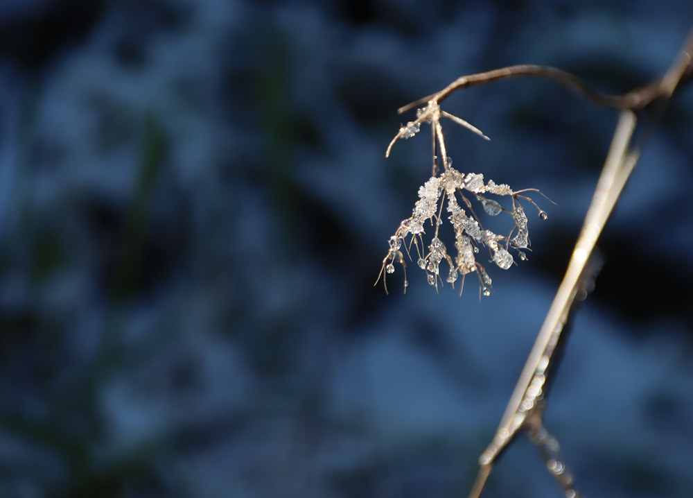
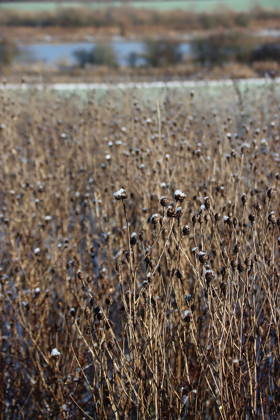
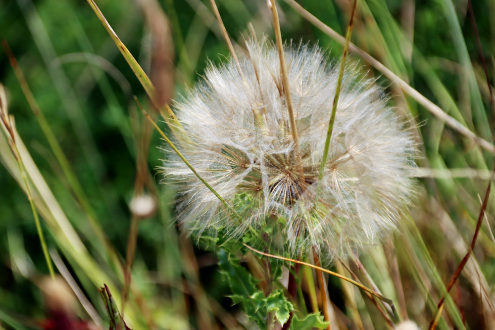
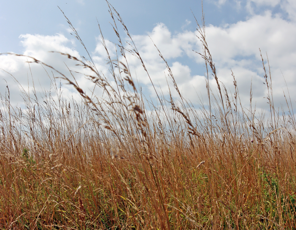
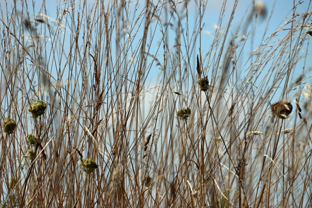
Like the Clwydian Range, the Llantisylio mountain has a ridge that is now covered in moorland scrub, although the remains ridge and furrow ploughing show that it was cultivated during the Middle Ages. The lower slopes at Bryneglwys, having been cultivated and/or grazed for centuries, are largely fee of moorland scrub. The geological bedrock over which all the Bryneglwys excavations are located is composed of the same cleaved Silurian siltstones that I mentioned on my Dinas Bran post, and look horrendous to excavate. The current excavations have been taking place either side of a boundary marked by a low turfed stone wall topped with shrubs dating from at least 1740, fields that are now used for herding sheep, although they were ploughed in the past. Although there were findings of a few Mesolithic tools, which are often found in the area, the main discoveries were far more substantial.
Bronze Age ring cairn and associated finds
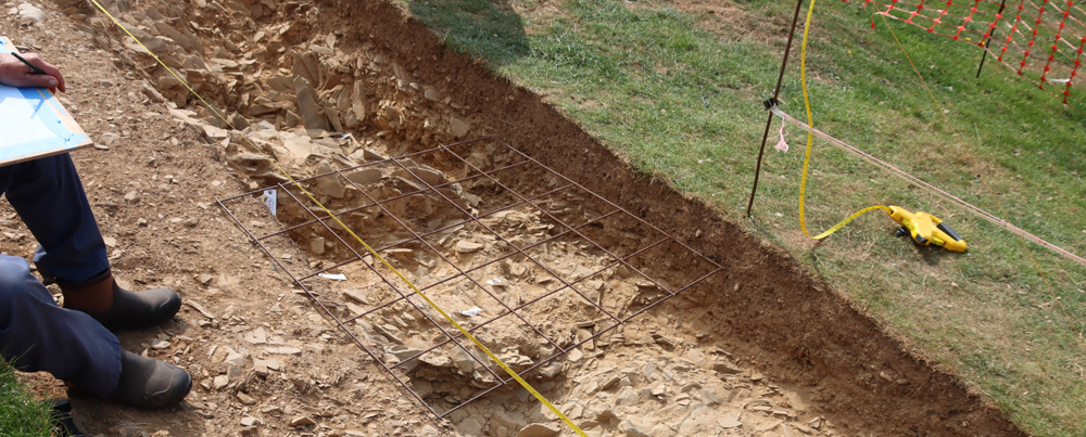
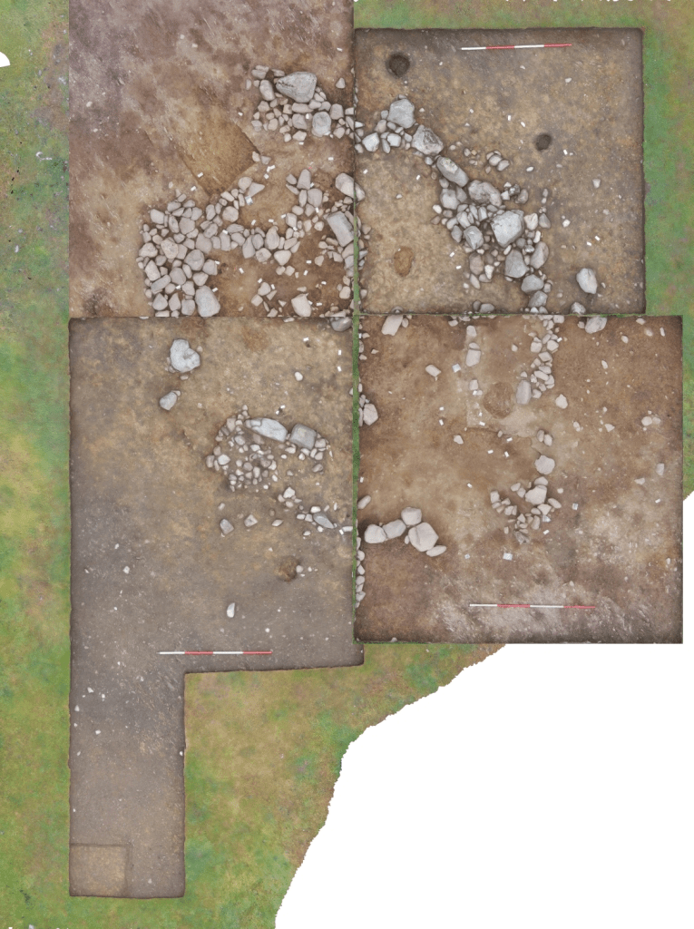
On the upper side of the boundary wall, the furthest away from the valley floor, the most exciting find to date has been the discovery of a Bronze Age ring cairn, the diameter of which was around 7m. All four quadrants were excavated over two seasons,
It is thought that the monument probably started life as a small stone circle with upright stones, some modified, and that the structure was later adapted into a banked ring into which the cremated bones and artefacts were deposited on a clay base before being topped with a low cairn. There were four other deposits of cremated bone and charcoal. The repeated use of cairns is a normal for the period, indicating the importance of these sites from one generation to the next.
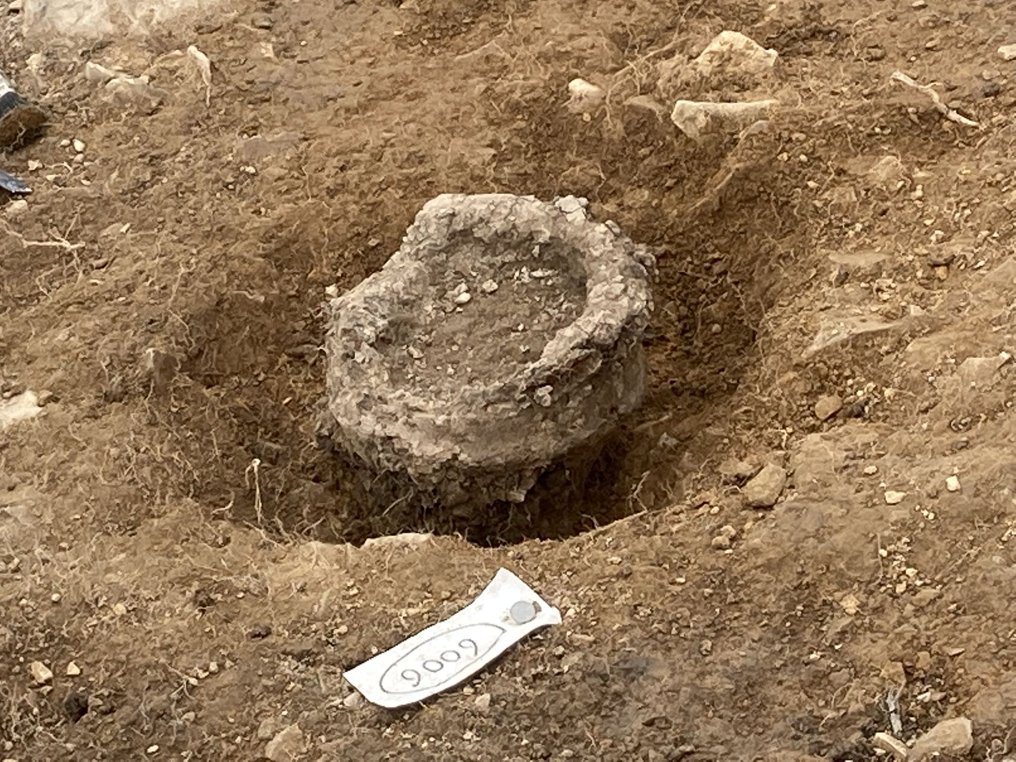
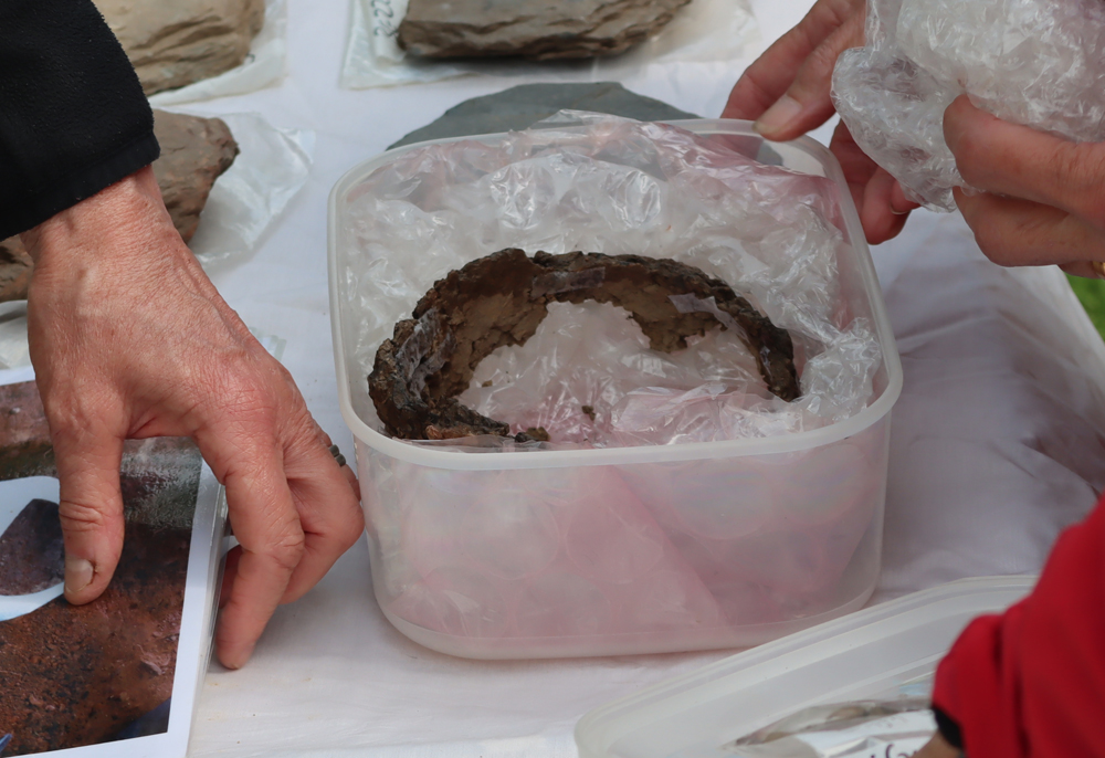
The cremated human remains were found together with some pieces of pottery. One of these was a large but very poorly fired piece around 120mm in diameter, found upright in the ground just outside the main ring of boulders. The rim was missing, probably due to plough activity.

Although this poorly fired vessel with the rim missing does not look particularly exceptional today, it was an important contribution to the ring cairn
There were also around 40 sherds of other pottery in the cairn accompanying the cremated remains, some with attractive cord-impressed designs that were perhaps intended emulate basketry.
xxx
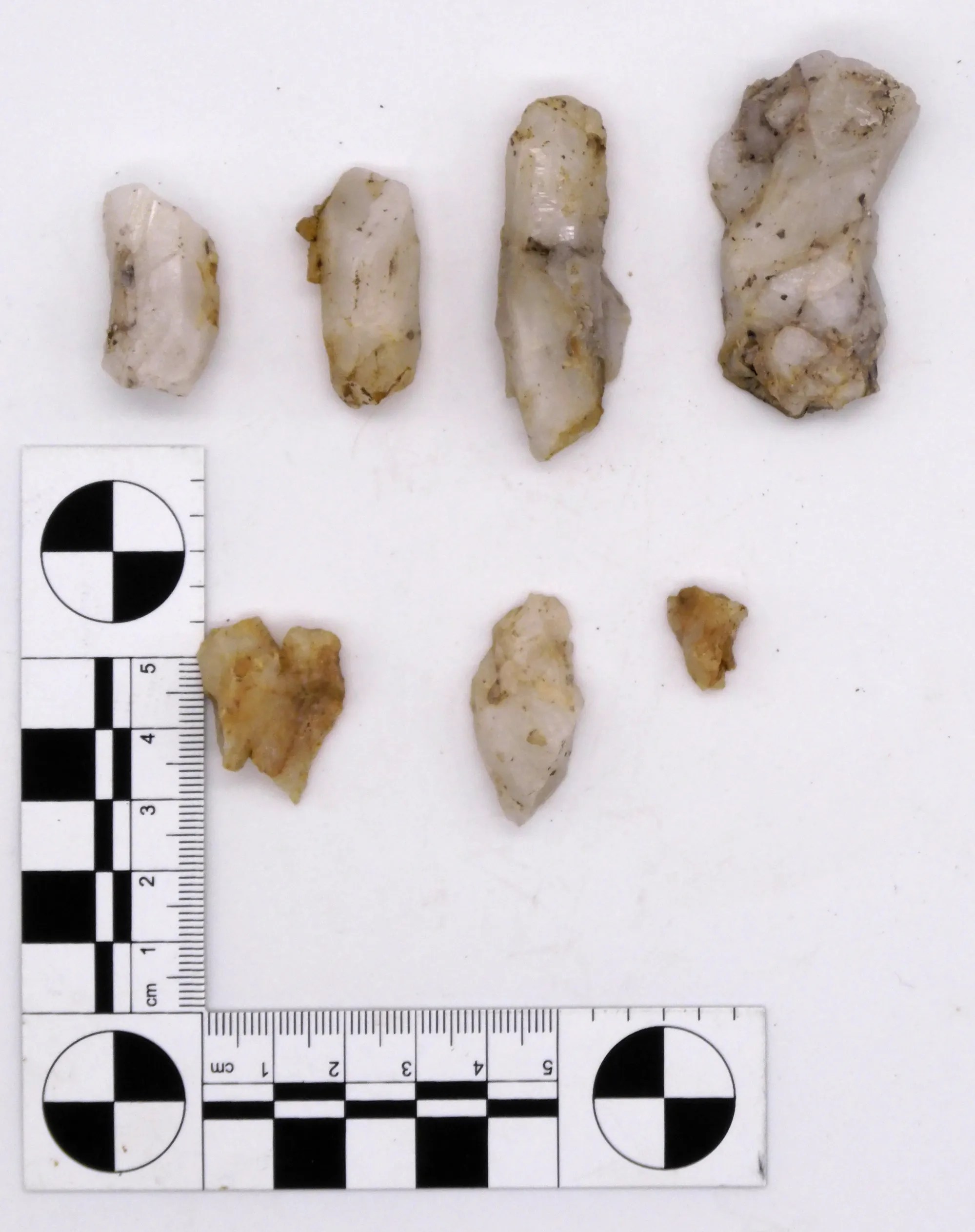
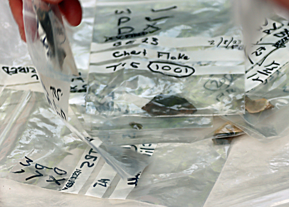 One of the cremations was deposited in a circle of stones, which was deposited with a quartz crystal and one of two flint arrowheads found at the site. There were a number of tools made on flint and chert, including two barbed and tanged arrowheads, thumbnail scrapers and a small knife blade. The flint was very fine and may have been imported. Tools made on chert were also found. As well as those in the ring cairn itself, there was also a flint scatter which is at present focused around the ring cairn. The amount of flint has been unusual for the area, and is of particular interest.
xxx

Remarkably, over 150 pieces of quartz were found in and around the circle, and include a range of different forms and types.
A sample of some of the quarts items found in the ring cairn. Source: Clwydian Range Archaeology Group
There were also a large number of other more general-purpose but important tools like hammer stones and shale disk-shaped items, the function of which is uncertain but look rather like lids. Most of the finds from the site are currently on show at a temporary exhibition in the Llangollen Museum but some were on display on a table in the field serving as a car park, together with photographs of those on loan to the exhibition.
The volume of finds in the site has clearly been both rewarding and very informative, providing new insights into the funerary and ceremonial tradition in the area. The site has now been refilled.

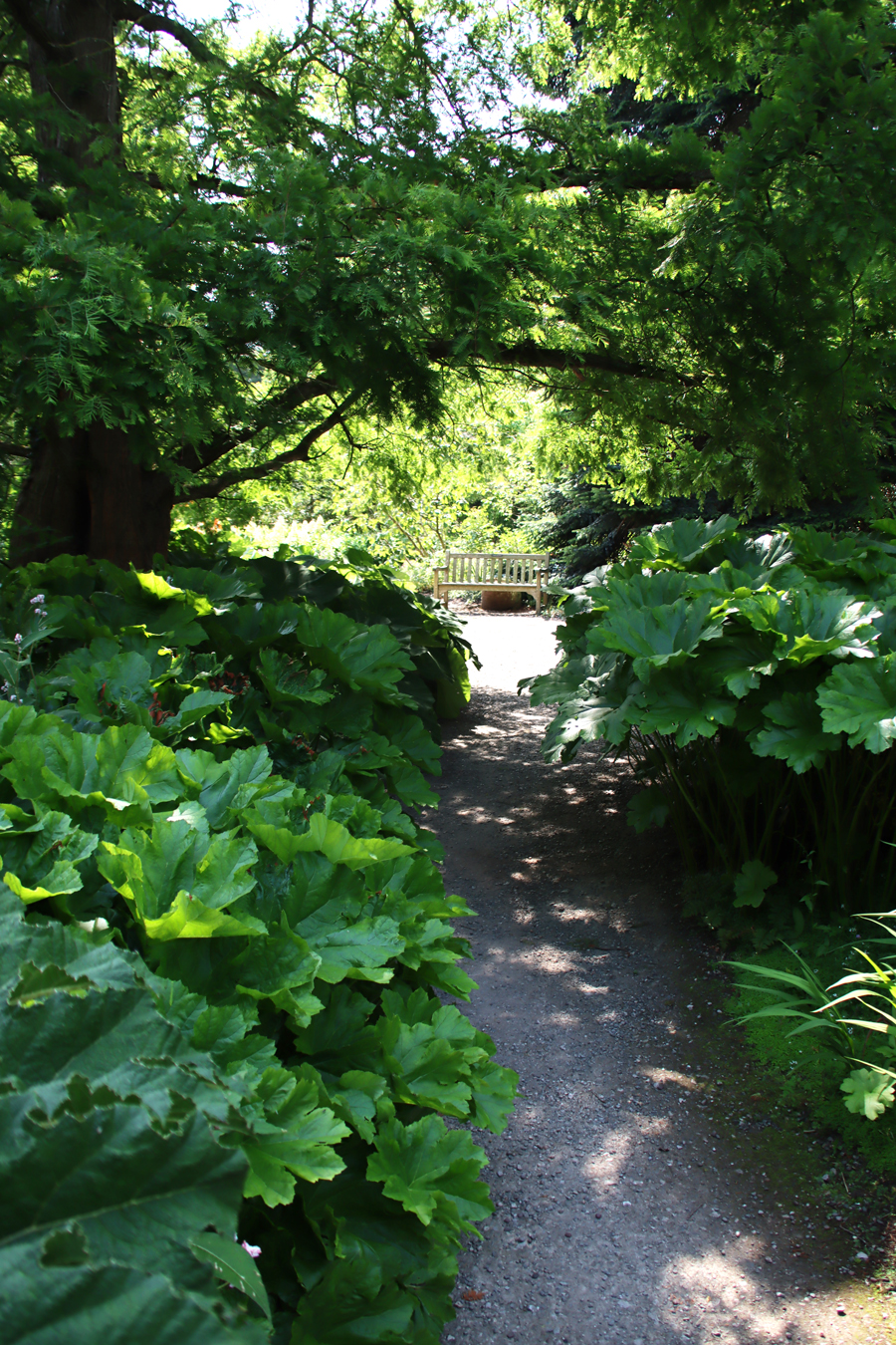
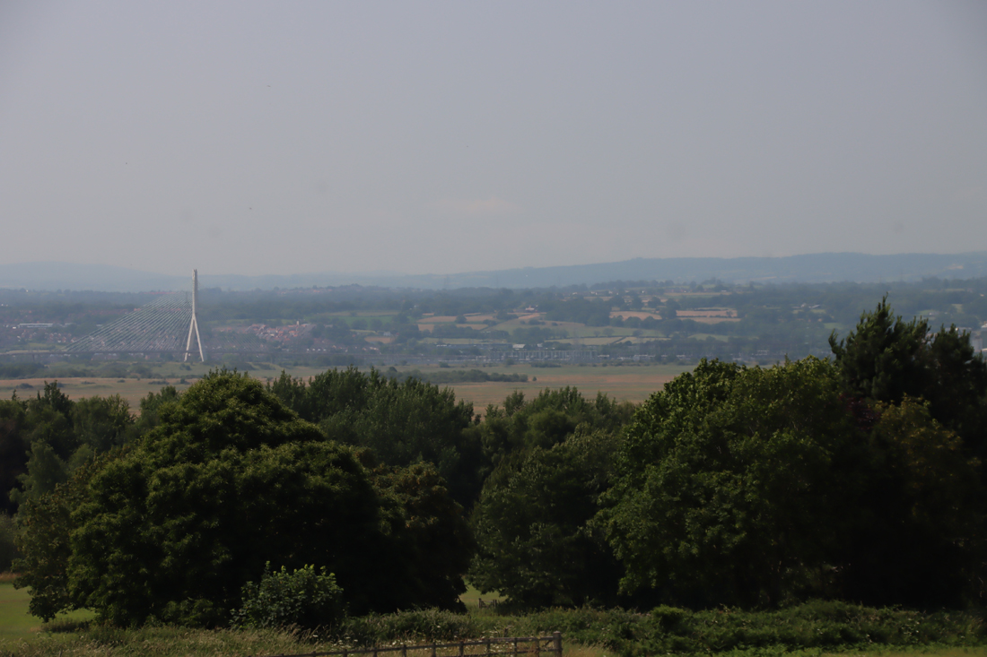
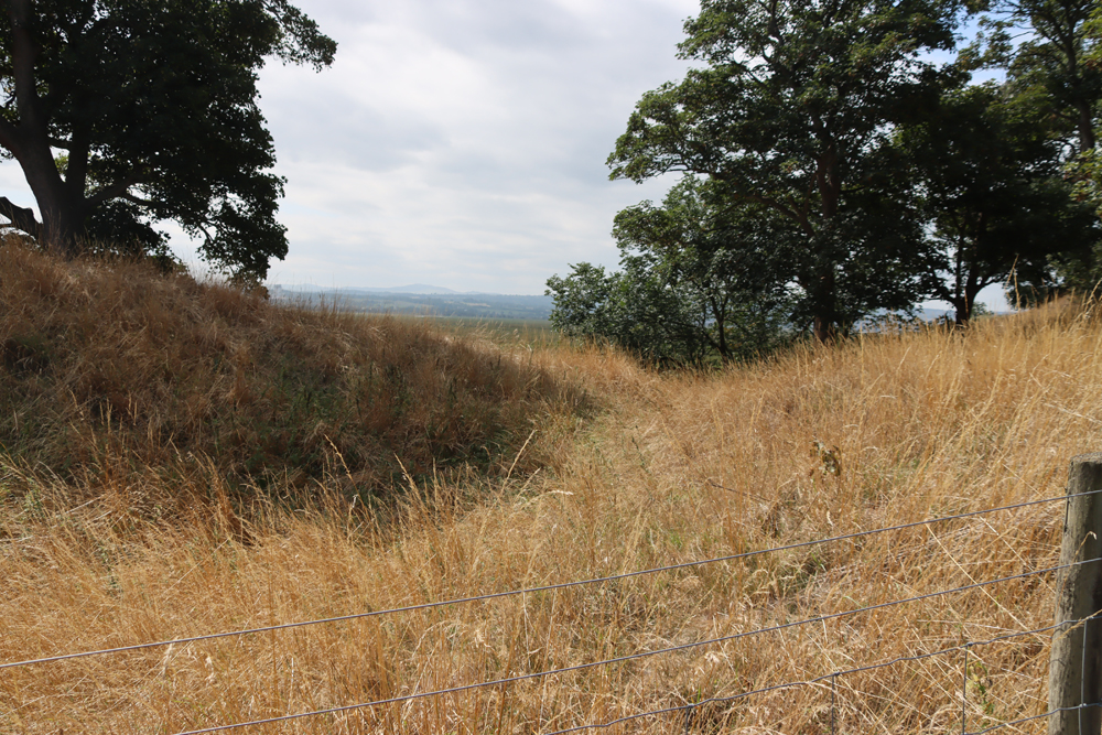
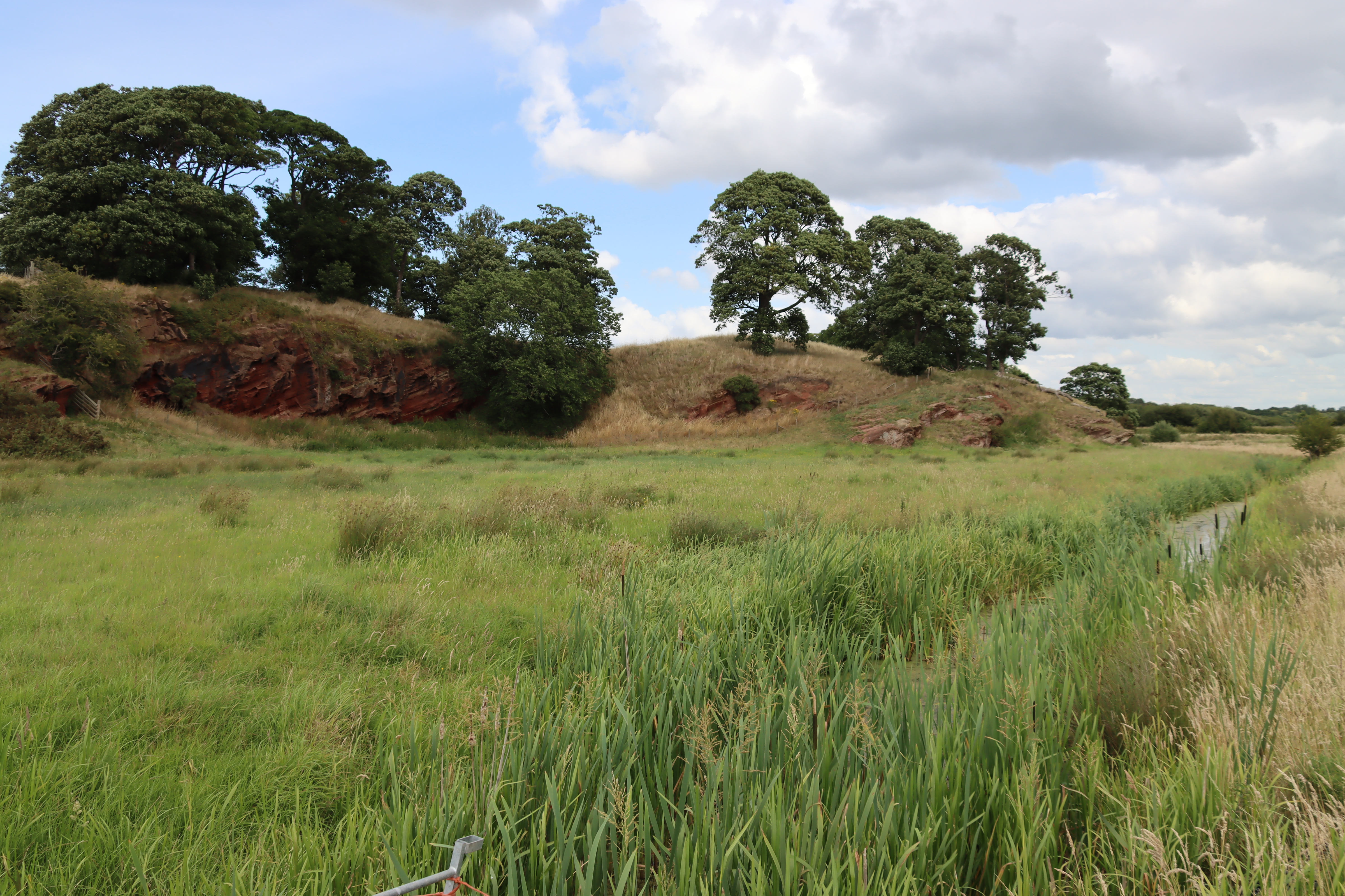
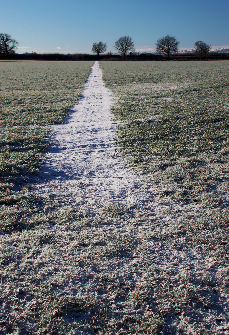
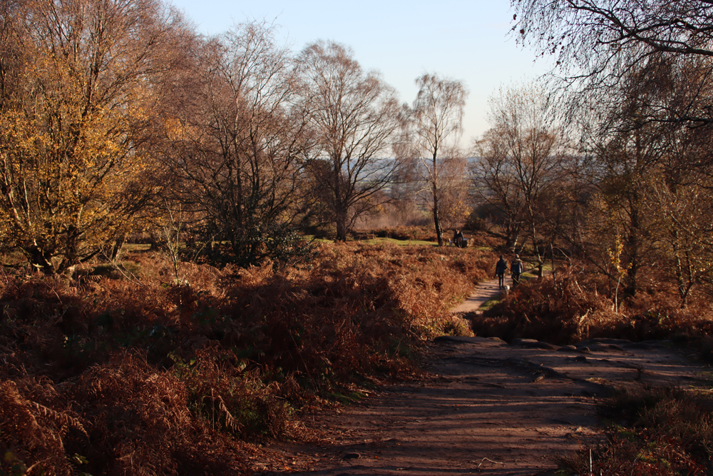
Standing on the refilled excavation of the ring cairn, looking towards the southwest
As ring cairns are rarely found in isolation, the team immediately went looking for similar sites, and a little to the south opened a sample trench, which has unearthed the foundations of another circular cairn which needs to be fully excavated in order to reveal more details.
Lines of sight are an important element of landscape archaeology. Because so little is known about what, if any, contemporary sites may have been located in the vicinity, this cannot yet be achieved. Another reason for its position, however, may have been the views from across the valley to the west and down the valley towards Rhug, with distant hilltops figuring as prominent markers not only as landmarks in their own right but also as markers of important routes below that ultimately lead to northwest and midwest Wales, including the Cadair Idris and Snowdonia areas respectively. The later hillforts, dating to the late Bronze Age and Iron Age that adorn some of these hilltops are indications of the importance of these routes and of the need to protect resources.
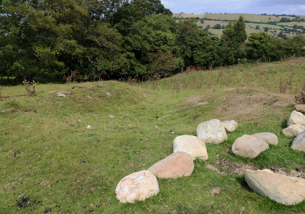
The horseshoe feature

The horse-shoe shaped feature, with boulders along one of the banks. Excavated but not yet understood, radiocarbon dates should at least help to establish when it was constructed
Another site that was excavated and has now been refilled was a horse-shoe shaped feature defined by a bank with what looked like an entrance interrupting it on its western side. Apart from a small group of stones, a large one of which seems to have a cup mark, and some evidence of burning on the flat floor of the feature, this nearly sterile. Sufficient burnt debris has survived to be sent for radiocarbon dating. Photographs of the cup-marked surface have been sent to an expert on the subject and it seems probable that this is indeed an example of a form of stone marking common to upland areas during the Bronze Age.

The horse-shoe shaped site produced what is probably a cup-marked stone. Source: CRAG Facebook page
The other excavated areas
 In the final days of this year’s work, during which further geophysical survey has been carried out, three excavated areas were opened on the basis of previous geophysical survey results, and were being worked on by volunteers during our visit. At the moment it is not at all clear what the features uncovered represent, and nor is it known when they may date to. A piece of medieval pottery from one of the trenches is not particularly informative.
Although it would be very nice if some information about land management during prehistoric and medieval periods became available, this is clearly some way off at the moment, but by no means out of the scope of the project should it gain future funding.
xxx
General Context
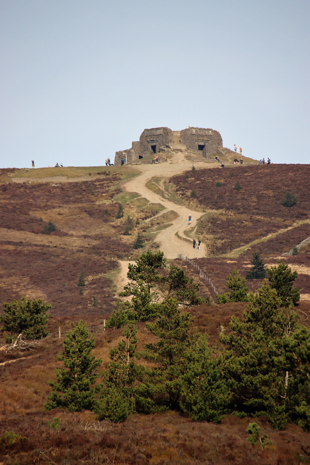
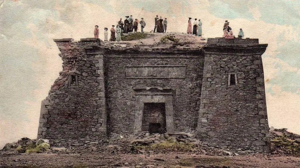
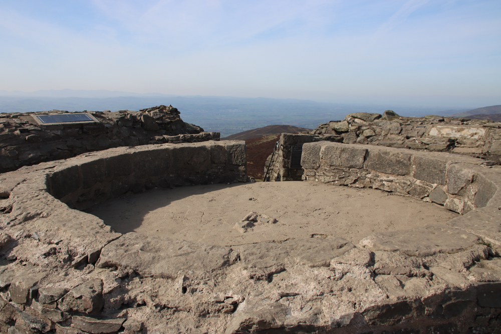
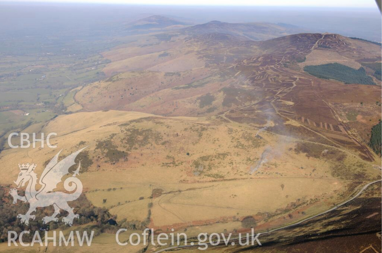
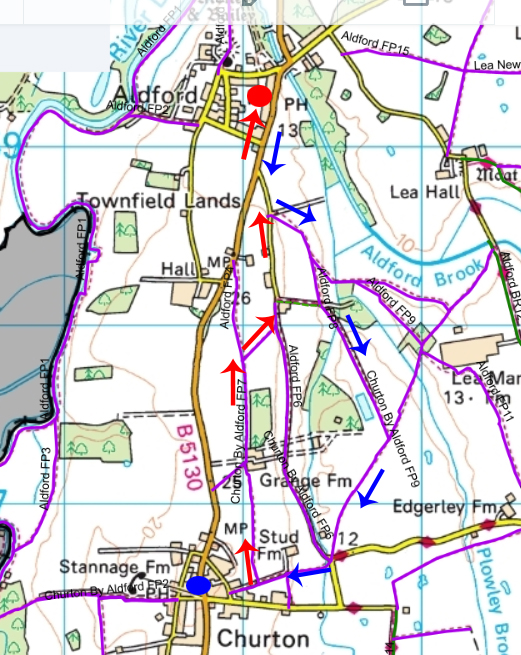
There is no mention of the Llantysilio mountain in my fairly thorough collection of books about prehistoric Wales, and looking at the Ordnance Survey map, there are only two archaeological sites marked in the vicinity, both Iron Age hillforts. One of these is Moel y Gaer, about 2km as the crow flies, but uphill all the way, roughly east from Bryneglwys village (not to be confused with either of the two of the same name on the Clwydian Range). The other is Caer Drewyn (about which I have posted here) and is around 7km to the southwest. The usually helpful Megalithic Portal had nothing else to add. Archwilio is somewhat more informative, but makes it clear that this is still an area that is surprisingly short on recorded prehistoric data when compared with, for example, the Clwydian Range or the nearby Eglwyseg mountain. Further information is provided by Heneb, which comments that there are “Bronze Age hilltop burial monuments on Moel y Gamelin and Gribin Oernant” (on their Llantysilio Mountain HLCA 1142 page).

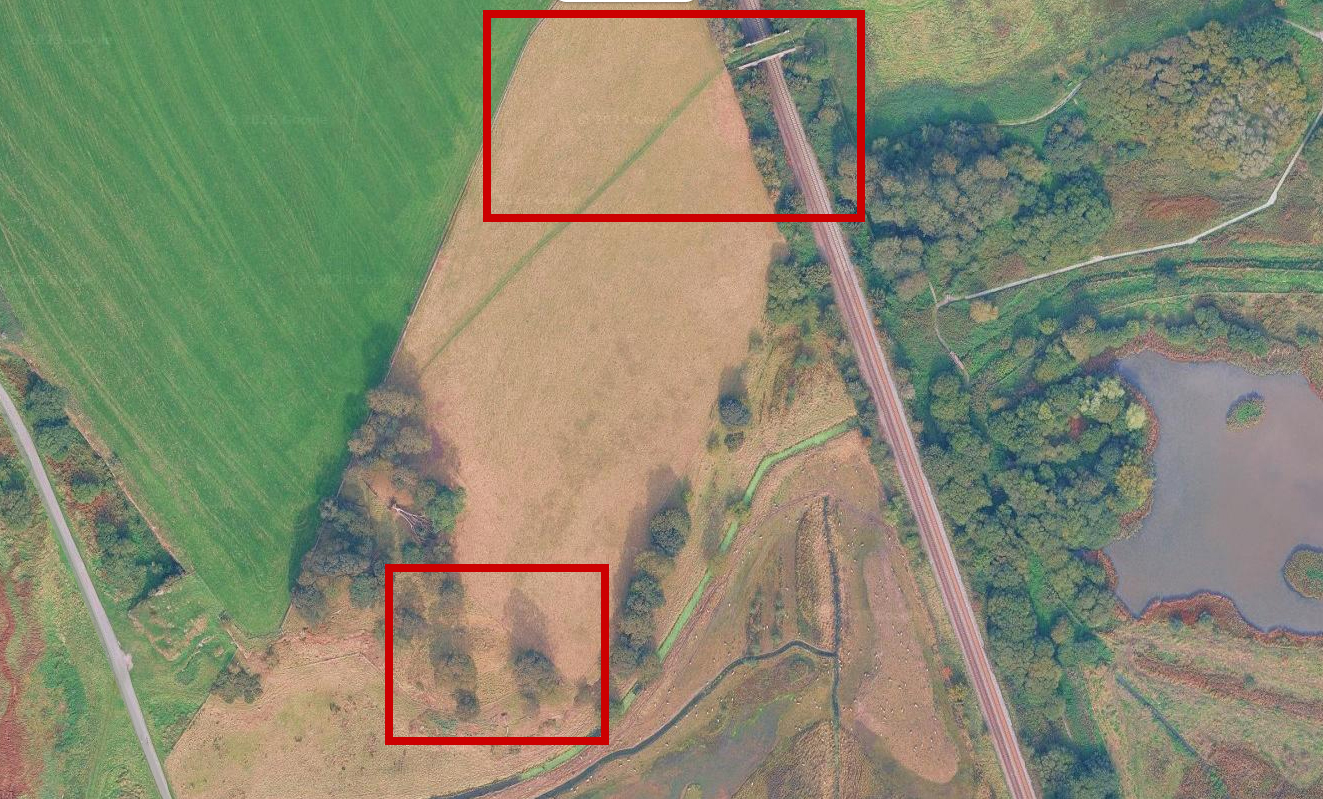
The Archwilio website shows possible sites (unexcavated) in the Bryneglwys area, as well as the Iron Age hillfort Moel y Gaer (not to be confused with those of the same name on the Clywdian Range)
This emphasis on the survival of cairns and ceremonial sites in the archaeological record is typical. Settlement data is very thin on the ground anywhere in Britain, because having been built in perishable materials, they have decayed into the ground. Archaeological data is therefore skewed towards funerary sites, which probably also double as statements of identity and territorial affiliation. Ceremonial sites are known throughout Wales, although in northeast Wales these are rarely found. The function of henges (banked and ditched enclosures, with ditches on the inside) and stone or timber circles seems, in northeast Wales, to have been either irrelevant or was incorporated into cairn designs, like ring cairns, that combined funerary and ceremonial functions.

Distribution of round barrows and cairns in Wales after c.2100BC – c.1600BC. Source: Burrow 2011, p.106
Looking in general terms at the early to mid Bronze Age of northeast Wales, beginning a little before 2100BC and lasting to around 1600BC, there are plenty of round cairns on the Clwydian range, the Eglwyseg range, and Ruabon mountain, apparently coinciding with improvement in climatic conditions. Writing in 2004 Steve Burrows noted that a survey by Cadw had identified 17 cairns on the Clwydian Range alone; and more have been identified since then. These are just a small sample of the 1000s that have been found throughout Wales as a whole. It is interesting to note that most of these are on, rather than above, worked land. Although most of those remaining are on uplands, the presence of lowland and valley bottom locations indicates that even though many of those on land attractive to more recent farmers may have been ploughed out, they were certainly there. On the least attractive land for cultivation, pastoral herding was probably favoured, requiring smaller groups and greater mobility for at least part of the year.
Most of the remains interred in cairns are cremated, and represent a tiny proportion of the population, indicating that communities were singling out particular individuals for burial. Where sufficient bone has been preserved amongst the cremated remains, it has been determined that these may be adults, children or infants, male and female. The presence of children may or may not suggest that a sense of family lineage was involved. Unfortunately DNA testing techniques are problematic and so far no familial connections have been proved within Bronze Age cairns in Britain.
Grave goods accompanied many, but not all of the interments. The Bryneglwys ring cairn burials were accompanied, probably added at different times, with pottery and flint tools and flakes, but some sites have produced no objects, whilst others contained more elaborate items. The single most famous example of a grave object dominating the narrative is the Mold Cape (about which I have posted previously here) but less remarkable sites include some well preserved pottery, quantities of well-crafted stone tools and some objects made of copper and bronze. Flint tools may seem more mundane, but many were beautifully crafted and, in the case of flint, the material itself may have had a certain amount of status. Some raw flint can be found on beaches and in glacial deposits, it is only rarely of high quality, suggesting that where fine flint is found, like the Bryneglwys flint used for tool manufacture, it could have been imported.
In terms of landscape use in northeast Wales the proliferation of cairns suggests there was a requirement for display of belief and ideology, and perhaps identity or territoriality, in the positioning of highly visible funerary monuments in land that could also be employed for either crop growing or pastoral herding. Although the western valley, slopes and heights of the Llantysilio mountain have not revealed much information about land use in the Bronze Age, the Bryneglwys excavations are beginning to add to this wider regional knowledge base of information.

xxx
Final Comments
The mapped Llantysilio site data suggest that although the current Bryneglwys excavations by CRAG are not in completely virgin territory, there are considerable gaps in knowledge and the work is pioneering in terms of starting to do a professional job of opening up the landscape archaeology of the Llantysilio mountain area. There’s real knowledge buried in them there hills.
For those interested in exploring further, the Bryneglwys excavations are being carried out on private land, but to get a sense of the landscape there is a track across the Llantysilion mountain, taking in Moel y Gaer hillfort and offering wide views of the surrounding hills and valleys, which can be approached from the Horseshoe Pass. Bryneglwys itself is bisected by the Welsh Cistercian Way, a modern creation, but an interesting one that focuses on monastic sites in Wales and is featured by the British Pilgrimage Trust. The site is also located just south of the line of the 122 mile (196km) Clwydian Way, a long-distance walking trail that was established by members of the Ramblers’ Association as a Millennium Project in 2000. Website links below.
Thanks again to the team for a great visit.
xxx

Sources
The guided tour by Dr Ian Brooks (Engineering Archaeological Services on behalf of CRAG) on 9th August 2025 was the primary source of information about the excavations, with particular thanks to Dr Brooks for taking time out of his busy life to go over my first draft and suggest corrections, and for forwarding CRAG suggestions regarding my account of the ring cairn excavation. Much appreciated!
The Ordnance Survey map for this area is the Explorer 256, Wrexham and Llangollen
Books and papers
Brown, Ian. 2004. Discovering a Welsh Landscape. Archaeology in the Clwydian Range. Windgather Press
Burrow, Steve. 2011. Shadowland. Wales 3000-1500BC. Oxbow / National Museum of Wales
Jenkins, David A. 1991. The Environment: Past and Present. In (eds.) John Manley, Stephen Grenter and Fiona Gale. The Archaeology of Clwyd. Clwyd County Council
Jones, Glanville 1991. Medieval Settlement. In (eds.) John Manley, Stephen Grenter and Fiona Gale. The Archaeology of Clwyd. Clwyd County Council
Lynch, Frances, 2000. The Later Neolithic and Earlier Bronze Age. In (eds.) Frances Lynch, Stephen Aldhouse-Green and Jeffrey L. Davies. Sutton, p.79-138.
Pratt, D., 2011. Valle Crucis abbey: lands and charters. Transactions of the Denbighshire Historical Society 59, p.9-55
Williams, D.H., 1990. Atlas of Cistercian Lands. University of Wales Press
xxx
Websites
(in order of usefulness for this topic)
Clwydian Range Archaeology Group
Website
https://cragnorthwales.wordpress.com/
Facebook page
https://www.facebook.com/CRAGNorthWales
CBA Newsletters
No. 64. Autumn 2022:
Excavation of a Ring Cairn at Bryneglwys, Denbighshire From CBA Wales
https://cragnorthwales.wordpress.com/wp-content/uploads/2023/03/newsletter-report-in-publisher.pdf
No. 66. Autumn 2023:
Excavation of a Ring Cairn at Bryneglwys, Denbighshire (Part 2) by The Clwydian Range Archaeology Group (CRAG), p.13-15
https://cragnorthwales.wordpress.com/wp-content/uploads/2024/01/20231017-cba-wales-newsletter-66-autumn-2023.pdf
Clwydian Range and Dee Valley
The Dee Valley
https://www.clwydianrangeanddeevalleyaonb.org.uk/projects/the-dee-valley/
Archwilio
Denbighshire (search under “Bryneglwys” to centre in on the area)
https://archwilio.org.uk/her/chi3/arch.php?county=Denbighshire&lang=eng
Clwyd and Powys Archaeological Trust (CPAT)
CPAT Report No. 1340. The Monastic Granges of East Wales. A Scheduling Enhancement Project. By R.J. Silvester and R. Hankinson, March 2015
https://coflein.gov.uk/media/241/979/652240.pdf
Historic Settlements in Denbighshire. CPAT Report no.1257. By R.J. Silvester, C.H.R. Martin and S.E. Watson, March 2014, p.14-15
https://coflein.gov.uk/media/287/517/652224.pdf
Coflein
Moel y Gaer hillfort, Llantysilio mountain
https://coflein.gov.uk/en/site/306813/
Heneb
Llantysilio Mountain, Brynegleys, Corwen and Llantysilio Communities, Denbighshire (HLCA 1142)
https://heneb.org.uk/hcla/vale-of-llangollen-and-eglwyseg/llantysilio-mountain-brynegleys-corwen-and-llantysilio-communities-denbighshire-hlca-1142/
Llantysilio Mountain and Moel y Gaer Hillfort (walk and background history)
https://heneb.org.uk/archive/cpat/walks/moelygaer.pdf
Megalithic Portal
Moel y Gaer, Llantysilio
https://www.megalithic.co.uk/article.php?sid=14086
Based In Churton
Who was Brymbo Man, what was the Mold Cape and why do they matter? (3-part series)
https://basedinchurton.co.uk/2023/03/18/part-1-who-was-brymbo-man-what-was-the-mold-cape-and-why-do-they-matter/
Caer Drewyn, Corwen
https://basedinchurton.co.uk/2023/09/11/sunshine-and-great-views-at-caer-drewyn-iron-age-hillfort-at-corwen/
Valle Crucis Cistercian Abbey
https://basedinchurton.co.uk/2021/11/23/monastic-northeast-wales-and-west-cheshire-2-valle-crucis/
The British Pilgrimage Trust
The Welsh Cistercian Way
British Pilgrimage Trust
https://www.britishpilgrimage.org/portfolio/welsh-cistercian-way
The Welsh Cistercian Way on Google
https://www.google.com/maps/d/viewer?mid=1nDf0d1rqf5P5uWJDDYvg2i8L8Lo&hl=en&femb=1&ll=53.02208569877805%2C-3.2900072936767533&z=15
The Clwydian Way
This area lies in section 9, but note that to follow the trail requires a paid subscription to the Ordnance Survey online.
https://www.clwydianway.co.uk/
Engineering Archaeological Services Ltd
http://eas-archaeology.co.uk/

The site of the ring cairn, refilled after the excavation

Thanks to Helen Anderson for this photograph of the 11am Open Day group standing by the ring cairn and the scene towards the southwest in the distance (copyright Helen Anderson)


