
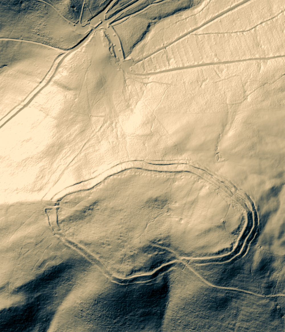
Moel Fenlli hillfort (LiDAR view). Source: Lock, Gary and Ralston, Ian. 2024. Atlas of Hillforts of Britain and Ireland. The car park is at the very top. Available at: https://hillforts.arch.ox.ac.uk
The massive Iron Age Moel Fenlli hillfort is at the far western end of the Clwydian Range on the second highest peak, one of six hillforts on the range of hills. The site is named for the Welsh giant Benlli Gawr, a recognition of impressive scale. It is bivallate for most of the circuit (i.e. two sets of banks and ditches). The banks and ditches enclose a broadly oval area of 9.5 hectares (23.4 acres), set across the contours rather than following them. The hill drops steeply from the hillfort to north, east and south, and much but less so on its western end. The primary entrance was at the west. Both the ramparts and the interior are very obviously undulating, rising significantly to the east.
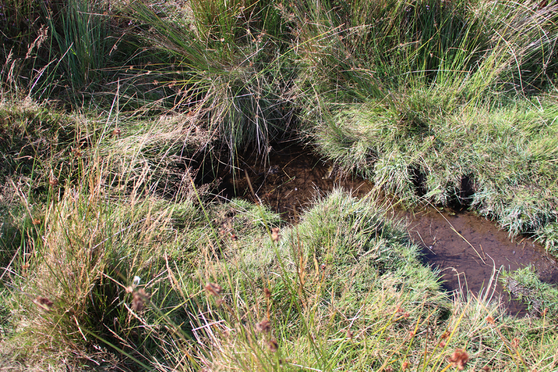
Natural springs are still found both in the near the centre of the hillfort and on the outer edges of the northern ramparts, and there are patches of well-established soft-sedge reeds (Juncus effesus) at other places around the interior edges of the ramparts, suggesting either permanent or seasonal water sources.
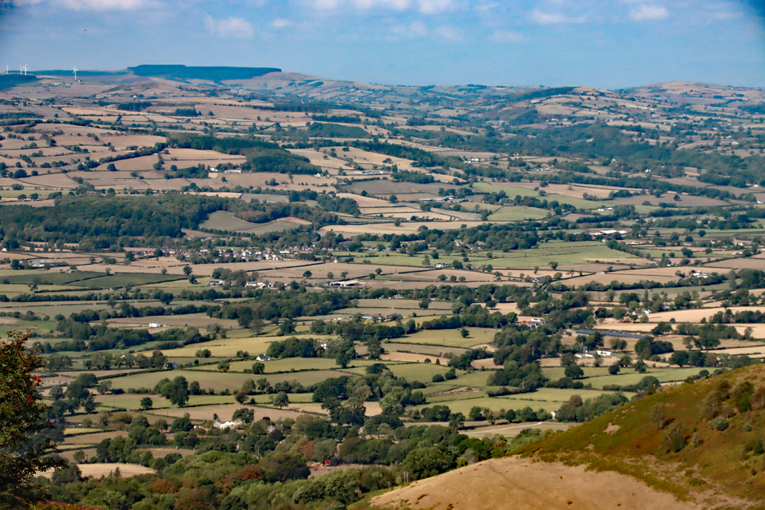
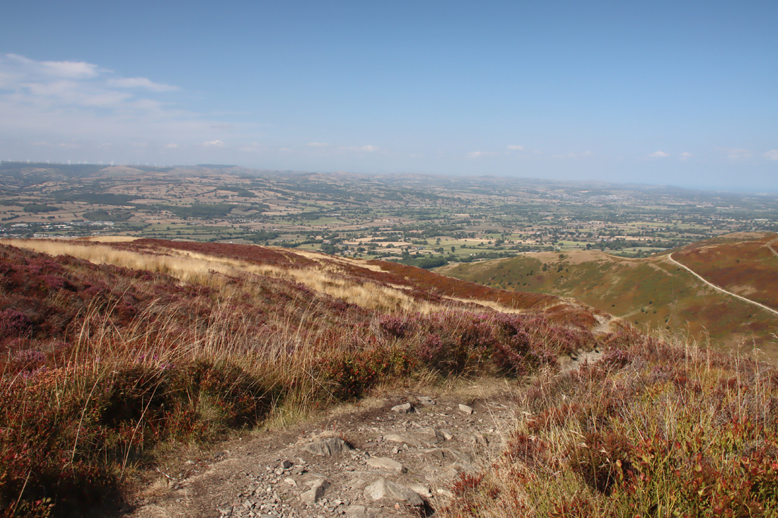
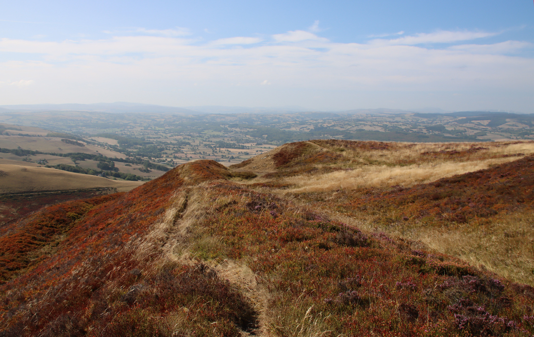
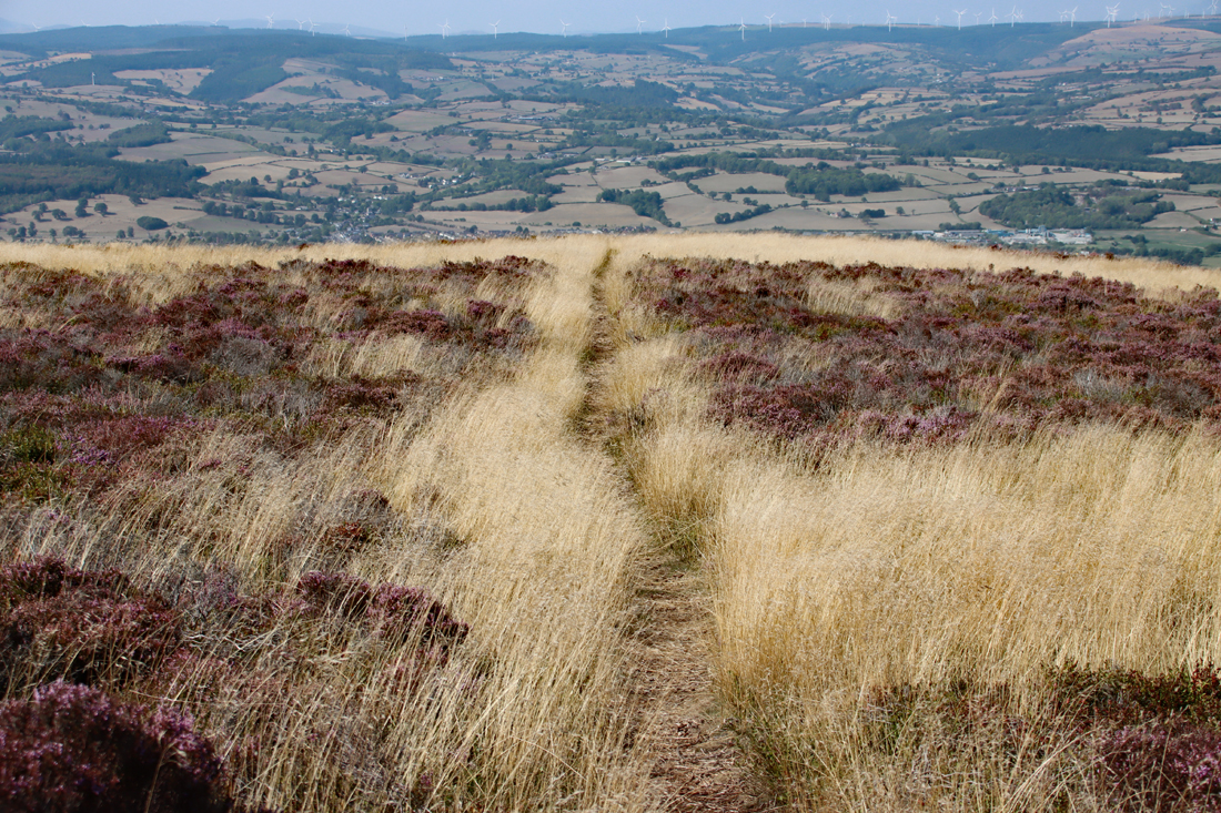
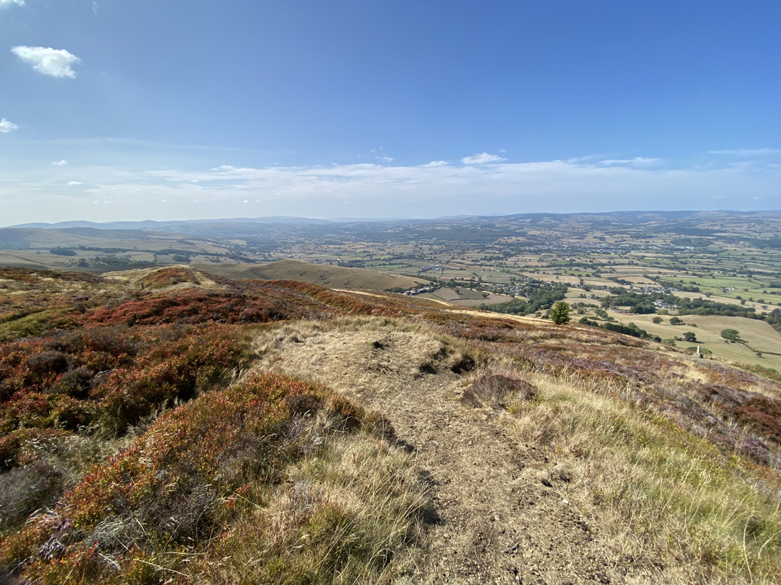
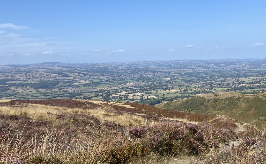
The 360º views over the valley of the river Clwyd and the foothills overlooking the Dee and its floodplain are sublime, as well as strategically valuable.
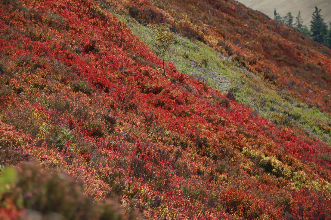
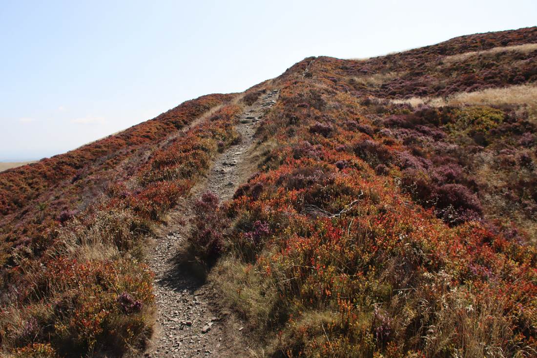
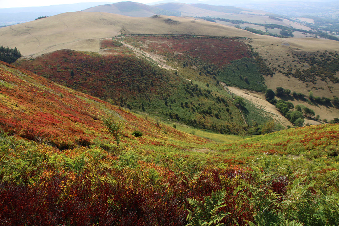
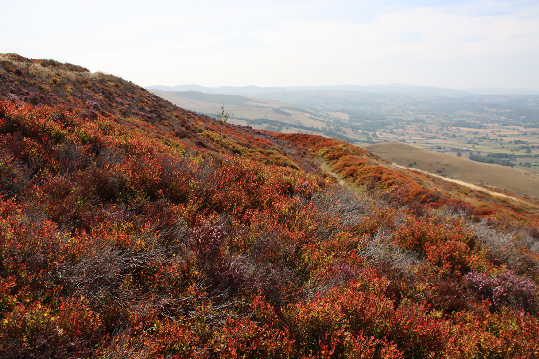
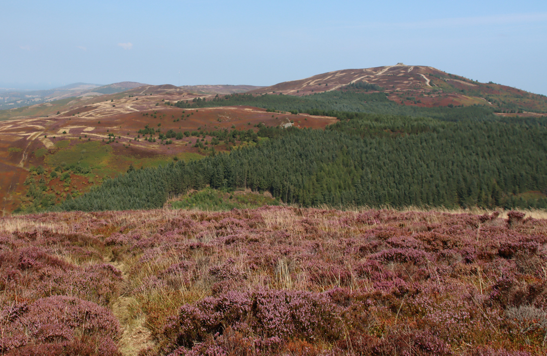
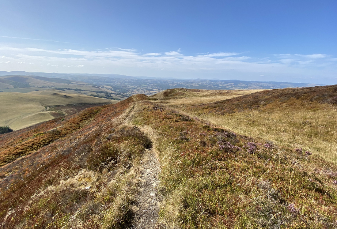
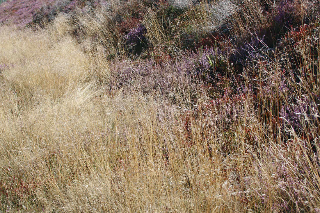
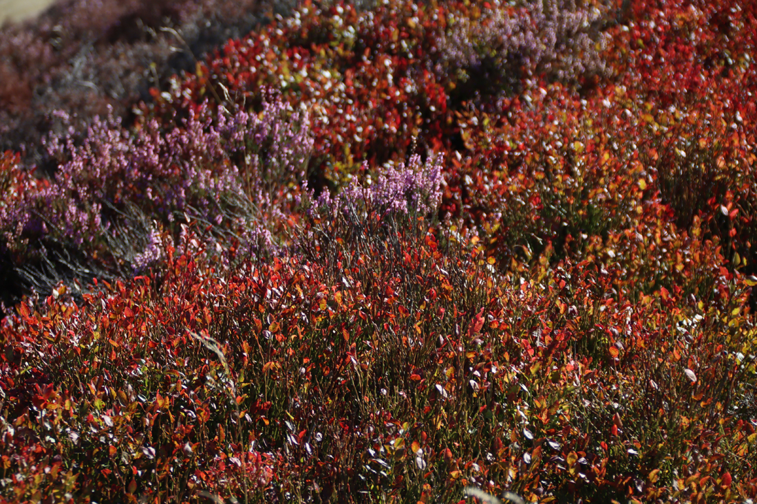
The hillfort itself is a kaleidoscope of rich reds and purples, bright greens and sunny yellows, all tremendously striking at this time of year (late summer teetering on early autumn) under a bright sun and against a blue sky .
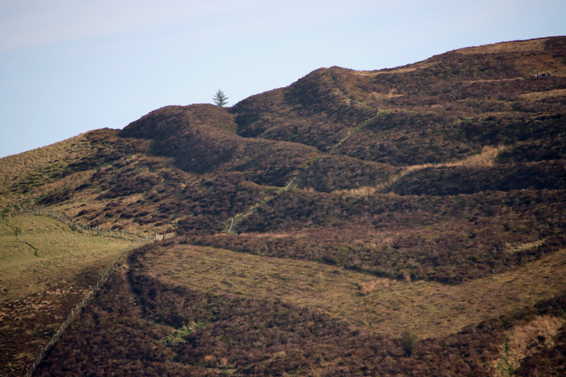
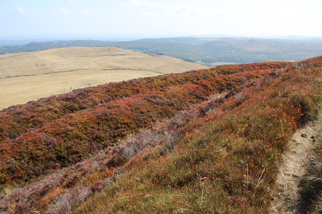
The western ramparts of Moel Fenlli as seen from the path to Moel Famau
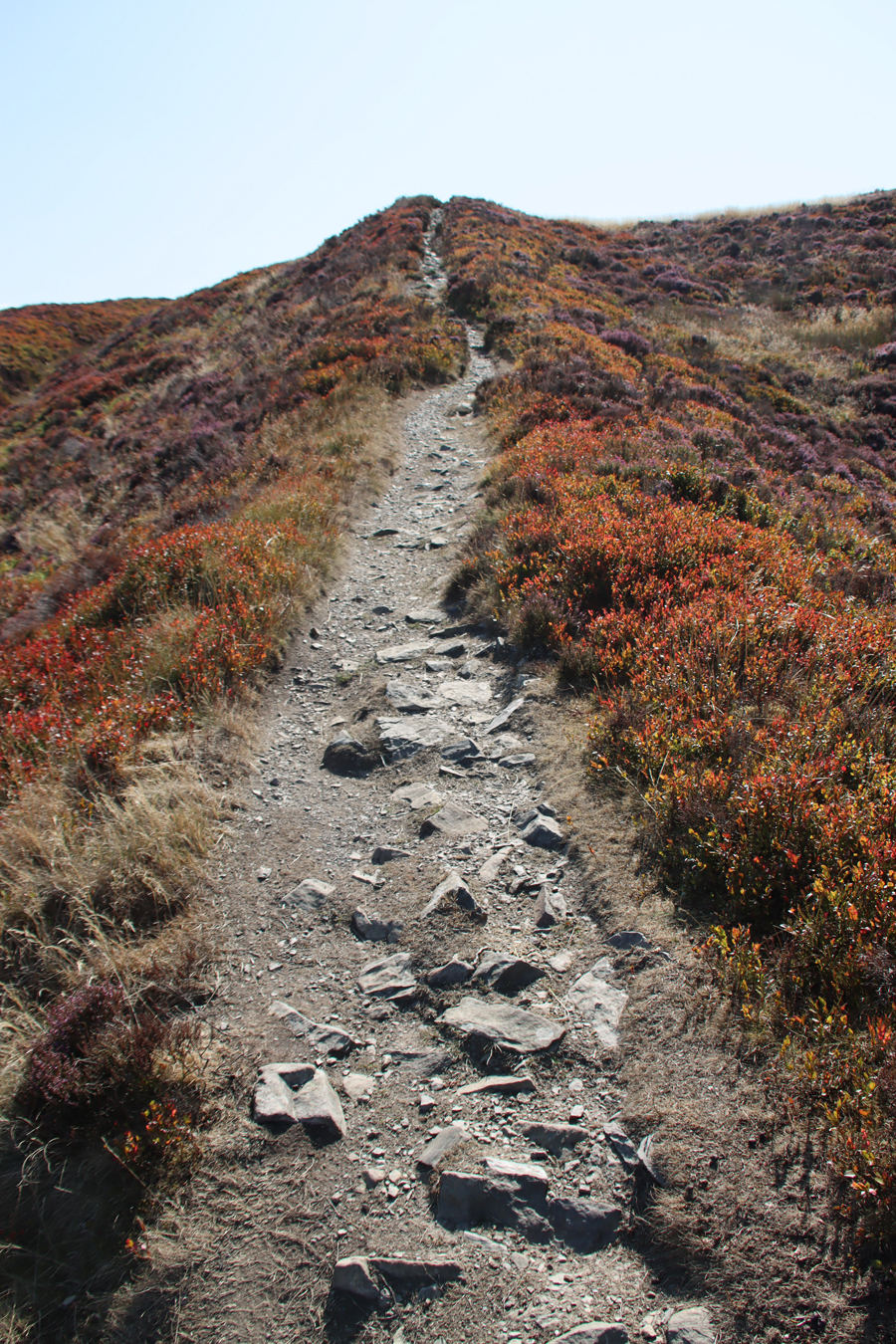
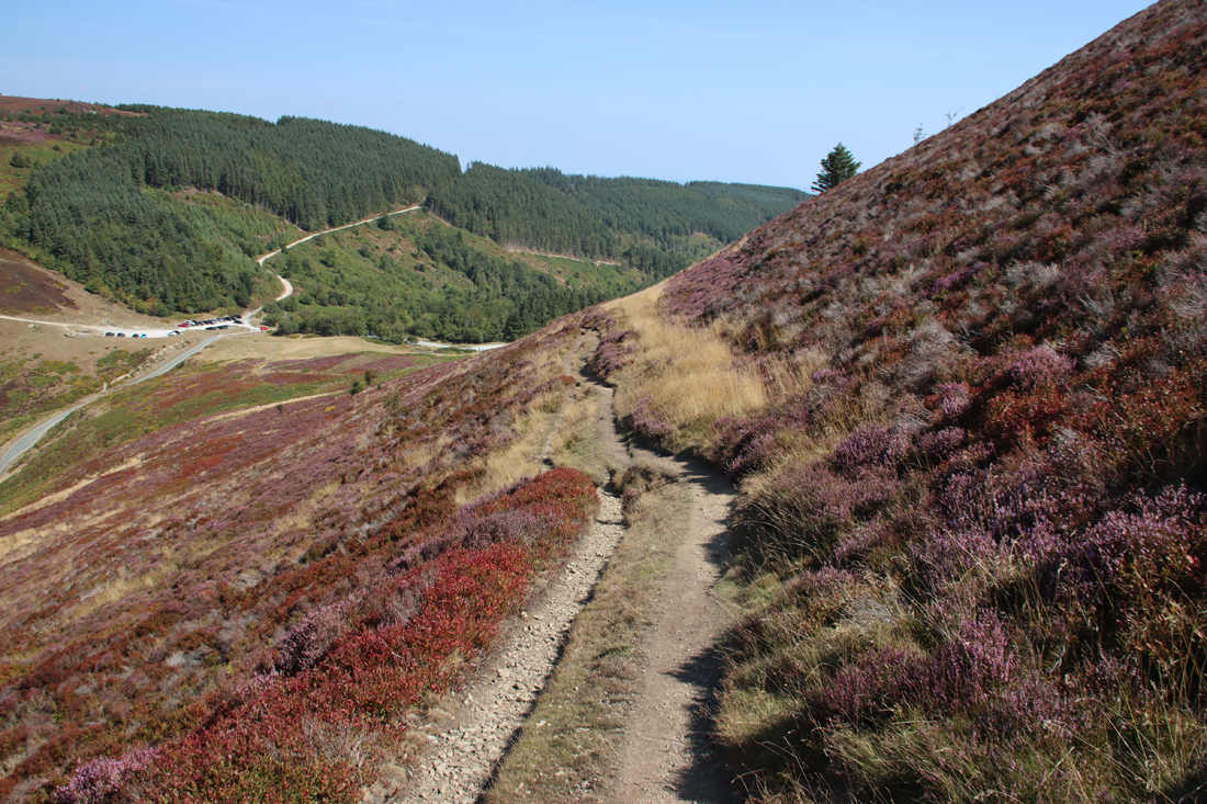
The two main footpaths up to the site lead from the car park at Bwlch Pen Barras (roughly translated as (“pass at the head of the ridge”), one climbing steeply up the side of the hill and through the ramparts (visible as a faint grey line on the photograph to the right) and the other zig-zagging along the side of the hill, with one steep stretch now improved with a floating staircase (see Visiting at the end). These were established after informal, ad hoc footpaths began to do significant harm to ramparts and ditches during the 1980s. There are no interpretation boards at the foot of the hillfort, although there may be something on the other side of the road where there are information boards at the foot of the walk up Moel Famau (I have posted about the Moel Famau walk here). See more about parking, footpaths etc, with photos of the views, in Visiting at the end.
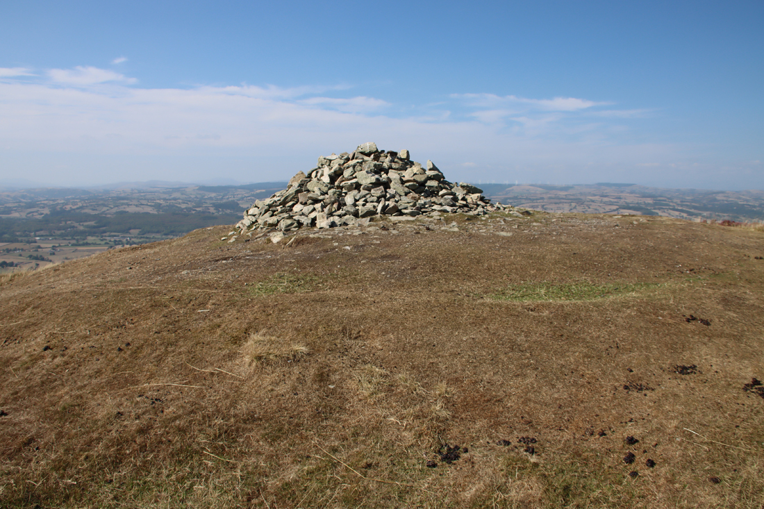 Although Wynne-Ffoulkes found stone artefacts that he thought were Neolithic, the Early Bronze Age is the first phase identified with confidence, represented by an unexcavated cairn on the summit of the hillfort at the east end. Early Bronze Age barrows and cairns are common in northeast Wales, but without excavation its contents remain unknown. The pile of stones on top of its grass-covered surface is modern, with some of the stones robbed from the original cairn, causing serious damage to the upper levels. As these cairns were sometimes used for secondary interments in the mound itself, this may have destroyed archaeological evidence.
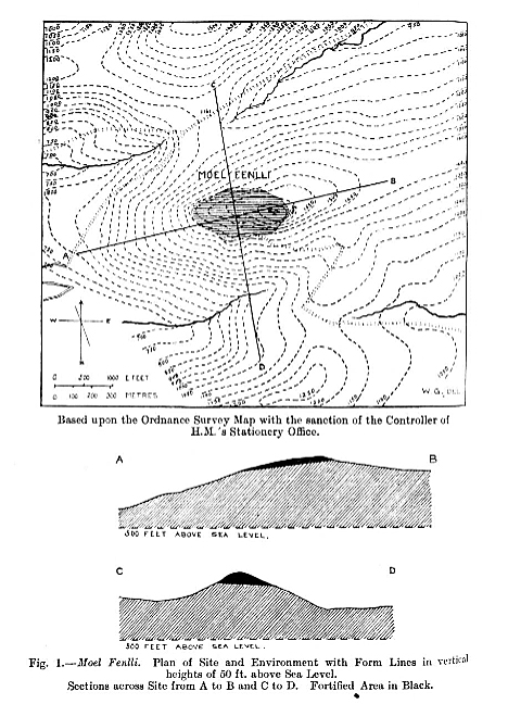
 The hillfort was first excavated in 1849 over an eight day period by William Wynne-Ffoulkes, and published in 1850 in Archaeolgia Cambrensis. It is admirable that Wynne-Ffoulkes published his findings, but in an era before excavation methodologies had been refined and formalized, and before reporting standards were agreed, with specialists reporting on artefact types, it is difficult to make sense of some of this report, particularly as many of the artefacts found at the time have since been lost. In 1921 Willoughby Gardner visited and surveyed the site, producing the excellent plan shown further below, and he discussed the site and tracked down as many of the surviving artefacts from the Wynne-Ffoulkes excavations as possible for reassessment.
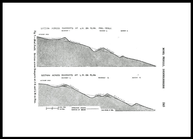
Rampart profiled. Source: Gardner 1921, p.245
The most prominent feature of the hillfort, and the most explored, are the ramparts, with two sets of banks and ditches for most of the circumference, with only one along two stretches of the south side, and three on the east side where the natural defences are at their weakest. Wynne-Ffoulkes refers to these as an agger and fosse arrangement, referring to a Roman earthwork or embankment and ditch system of fortifications, and it in these military terms that Wynne-Ffoulkes interprets the site. He and his colleague Rev. J. Williams cannot be faulted for their enthusiasm, with Wynne-Ffoulkes commenting that “trench after trench was dug out” and that trenches were cut “wherever the ground appeared inviting.” There is no plan to show where these trenches were located, and Wynne-Ffoulkes does not describe their positions in any but the vaguest terms.
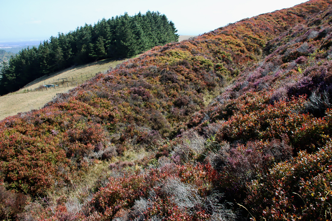 The main rampart, tilted across the hilltop’s contour, was supported on the south by a ditch and a second bank set some distance away from the first bank creating, in Paul Kent’s words, “a wide shallow slope from the top of which the defences could bombard any attackers without fear of reciprocation.” According to Wynne-Ffoulkes, the bank reaches up to 10ft (3m) in places, but can be as low as 3-4ft (0.9-1.2m). The second bank is also substantial, only built along part of the circuit, although in places it seems to have been little more than a counterscarp, possibly created by maintenance of the ditch at the foot of the inner rampart, formed by clearing debris that had fallen into the ditch onto the edge of the ditch (see my post on Moel y Gaer Rhosesmor for a diagram explaining the terminology of hillfort defences). According to Gardner’s plan, in places there are sections of a third rampart or counter-scarp. At the east, the most vulnerable side from a defensive point of view, and the easiest approach, the additional bank and ditch were added.
 Wynne-Ffoulkes describes the internal structure of the banks as “formed of earth and stones heaped up promiscuously,” and Gardner confirms that the inner rampart consisted of earth, rubble and stones, with more stone at the east end where it was readily available at the surface. Box ramparts were common in the area, many of them revetted with stone, but the construction of the banks and any structures on top of them remains unknown. In another 1850 paper Ffoulkes makes no comment about any sort of structure on the banks, although he does mention two sections that were “built in a solid mass (like a wall) without cement of any kind, alongside the rampart.” Gardner, however, states clearly that he was unable to determine if the ramparts were revetted with stone.
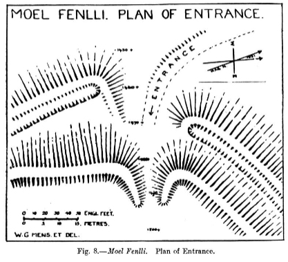
The inturned entrance. Source: Gardner 1921, p.246
The entrance in the inner rampart at the west end was inturned, a typical arrangement for hillforts in the area. The outermost rampart was simply open, and there are no flanking lateral banks. Wynne-Ffoulkes excavated here and says that the entrance “appeared to have an artificial surface, formed with stones of some size, laid flat ways as a rude pavement.” He detected a road leading from the entrance to the centre of the hillfort where there was “a never-failing crystal spring” that he thought had a reservoir in front of it. The spring is shown on Gardner’s 1921 plan, below. There is no further information about any structural activity that may have accompanied the entrance.
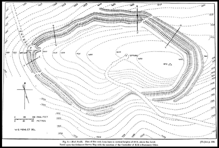
Plan of Moel Fenlli hillfort. Source: 1921, p.239
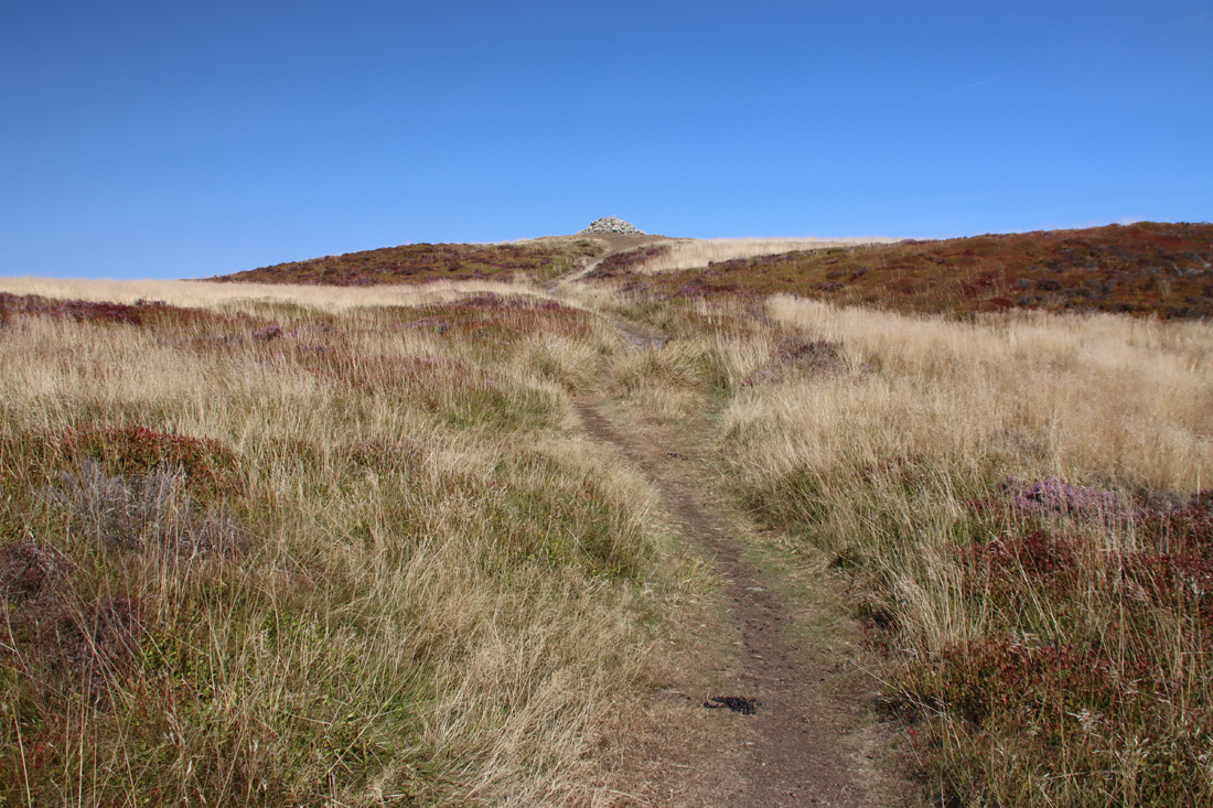 In the interior, which both Wynne-Foulkes and Gardner as having a very irregular surface, today largely covered with heather and grasses, Wynne-Ffoulkes identified circular hollows, which he interpreted as “cyttiau,” a Welsh term for huts, but on excavating them found nothing, although whether he was aware of the value of postholes and gullies as archaeological indicators of structures is not clear from this account. Some of the hollows can be seen on the LiDAR image at the top of the page. Based on the findings at Moel y Gaer Rhosesmor and roundhouses are a distinct possibility. An alternative explanation might be that they are quarry or storage pits, but without modern excavation any suggestion remains purely speculative. They are traditionally referred to as “hut platforms,” and a later topographical survey in 2006 by the Heather and Hillforts project identified around 61 of them.
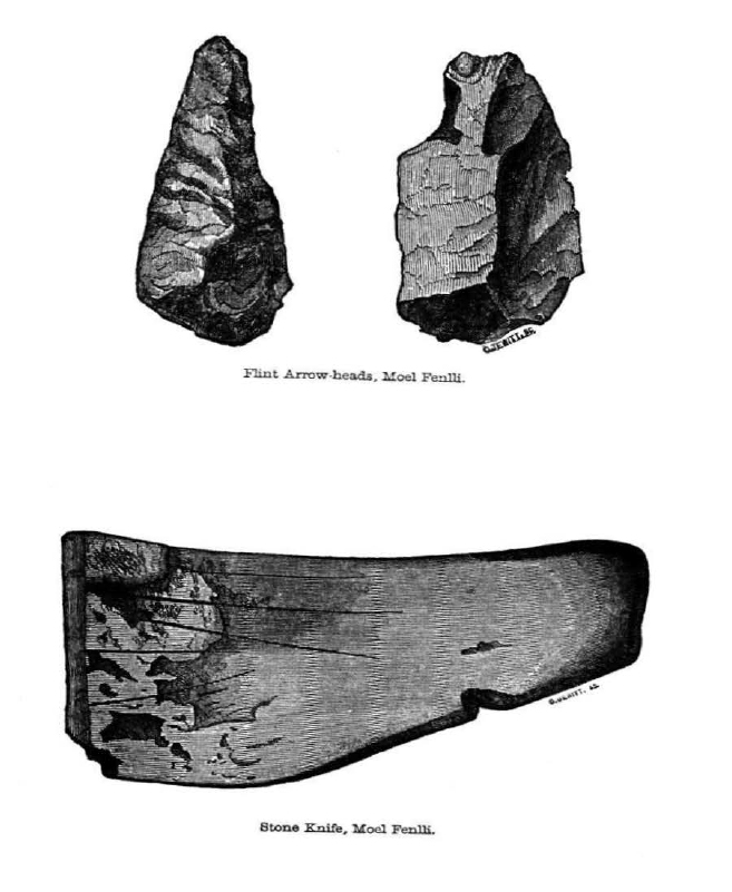
Objects found during the excavations by Ffoulkes, without scale. Source: Archaeologia Cambrensis
Artefacts were few and far between, something that was a matter of obvious disappointment to Wynne-Ffoulkes whose primary objective was clearly objects rather than structures, but to his relief he was eventually able to find a mixture of artefacts. It is not clear whether these were found in the banks, ditches or the interior, as Wynne-Ffoulkes does not state exactly where the trenches from which they were excavated were located. He found stone tools that he describes as arrowheads, and what he described as a stone knife c. 5 inches (13cm) long that is very difficult to assess, even from the illustration provided. Gardner suggested that it was, rather, a palette. Wynne-Ffoulkes discovered white pottery, described as “coarse and peculiar,” pieces of a coarse red pottery that “appeared to be Roman” and sherds that he thought was similar to the Roman prestige pottery Samian. Rather than attempting to elucidate the descriptions provided by Wynne-Ffoulkes for other artefacts, here is his account:
ROMAN POTTERY, varying both in colour and fabrication-both coarse and fine red-black-red outside and black inside-and cream coloured; also IRON, so corroded that its form was no longer ascertainable; GLASS of a superior kind; a LEADEN ornament; part of a BRASS or BRONZE ring; and, in one of the easternmost trenches, just under the rampart, and below the original surface, (a fact somewhat material in determining the age of the rampart and the white pottery,) the rim of a vase, or urn, of white pottery; and, pursuing the excavations more towards the interior, I found fragments of FLINT ARROW-HEADS, and two almost entire, the points only being broken and, to close the catalogue, some small pieces of rather coarse red pottery, rough-cast (if I may be allowed the term) with atoms of spar, with which the mountain abounds.
Gardner was able to expect some of the pottery at Ruthin Castle, and one piece in the National Museum of Wales, and was able to confirm a Roman date for all the pieces surviving pieces, which included a mortarium, Samian sherds and 4th century Marne ware.
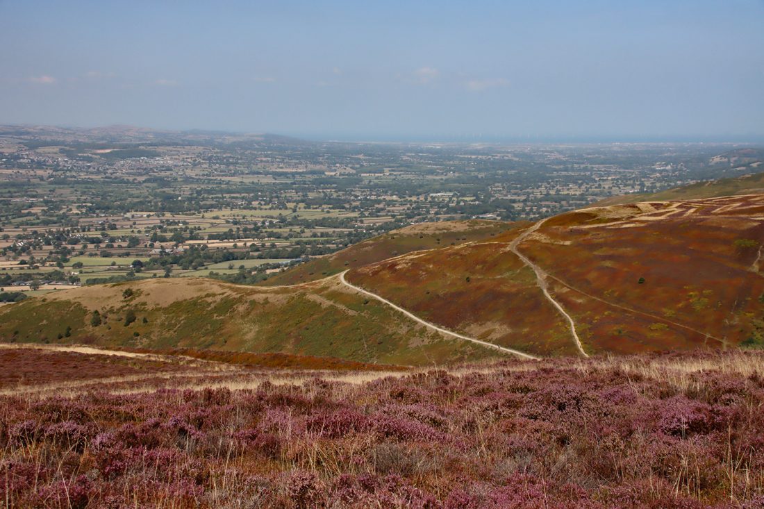
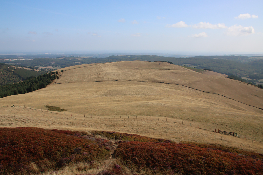
Moel y Gaer is the pale-topped spur in the centre on a greener hillside more or less at the centre of the photograph, with the two light footpaths forming a V-shape in front of it. Click to enlarge
From the ramparts the next hillfort in the range to the north, Moel y Gaer Llanbedr, can be seen very clearly (see left), its interior clearly visible from the higher ground on the Clwydian Range. Lloyd-Jones suggests that the proximity of Moel y Gaer Llanbedr and Moel Fenlli, with Moel Fenlli overlooking the smaller and lower hillfort, could mean that they had different, perhaps complementary roles. I could not pick out Moel y Gaer Rhosesmor on its hilltop in the valley below to the northeast, having idiotically left my OS map in the car, but that too should be visible from the highest part of the hillfort. Lines of sight to other contemporary sites are proposed by David Matthews and Erin Lloyd-Jones, but these would require some form of signalling system, because they are only just visible without binoculars or a long lens, if at all. It was too hazy to see the Dee estuary and the sea, but on a clearer day these too are visible in the distance.
 No modern excavations have taken place, and I have found no records of any geophysical surveys, meaning that the hillfort, and in particular its interior, remain very poorly understood. Interpretation of the site is particularly difficult without data from stratified artefacts or scientific dating. Wynne-Ffoulkes believed that local tribes may have heard news of the impending “conquering but civilizing, sword of Rome” from the south, and that the hillfort was a defensive response. As to its role in the context of the other hillforts, he refers to the Clwydian Range hillforts as “encampments” and Foel Fenlli as a “Castra Clwydiana” (castra being a Roman term for a marching camp/fort). He saw the hillforts as a defensive barrier established by a “mountain chief who here held his sway amidst his faithful band, hovering over the adjacent country, his ready prey; or of some victorious invader who, distrustful of the conquered, would here have kept himself aloof from treachery and surprise; or, perchance, mark the boundaries of some warlike tribe, protected thus by art engrafted on nature, against aggression.”
 Although today it is not questioned that hillforts appear defensive, and many of them will have had a defensive role, it is now thought that they may have been multi-functional. Defence against local livestock and grain store raiders may have been more important on a regular basis than protection against invaders from elsewhere in the country or from overseas. The presence of a spring and an earlier burial cairn may have formed the basis of more complex ideologies and belief systems, whilst the scale of the ramparts may have had as much to do with display and the establishment of identity as with protection and defence. Whilst Wynne-Ffoulkes interprets the presence of Roman pottery as signs of successful invasion, this might just as well have been the result of trade, exchange, or the acquisition of prestige items by the hillfort builders. Gardner, for example, suggested that the inhabitants purchased items from Deva (Roman Chester) or that Roman traders “went out into the wilds of Wales trafficking with the natives.” It is frequently suggested that hillforts positioned with wide views may have controlled large territories, but it is not clear how, from this height, such control would have been organized and maintained, and how protective strategies may have been deployed. David Matthews has studied lines of sight between hillforts in the mid- and northern Marches, suggesting that signalling may have improved communication and co-operationbetween communities.
 Two hoards of 3rd to 4th-century Roman coins were also found on Foel Fenlli, in 1816 and 1845. Wynne-Ffoulkes says that one of the hoard, found some 30 years before his excavations, and which consisted of some 1500 coins, was lying on the surface of the inner rampart, on the northeast. They included a gold and silver coins, and of the 1500 found, Gardner could only find 43 of them, stored in the Grosvenor Museum in Chester, dating to between around AD 330-350, all Gaulish from Treves, Lyons and Arles. Gardner assigns the later discovery of around 100 coins, found by a farmer on the northeast side, to the same sources and the same date range, although only a quarter of them were published in 1847.
The name of Moel Fenlli derives from Benlli Gawr, which translates from the Welsh as Benlli the Giant, and may have been a simple association of mythological giants with massive features, like Cadair Idris (throne of the giant Idris). However, tradition also has it that Benlli was a 5th century AD lord of Iâl (Yale), the name “giant” referring not to the massive physical stature of a mythical being but the Iâl lord’s despotic disposition. In this pseudo-historical version of the hillfort’s story, this was Lord Benlli’s fortress and it was destroyed by Saint Garmon (Germanus in Latin). See the full account in Gardner 1921 (available online).
Source: Gardner 1921 p.238
Visiting
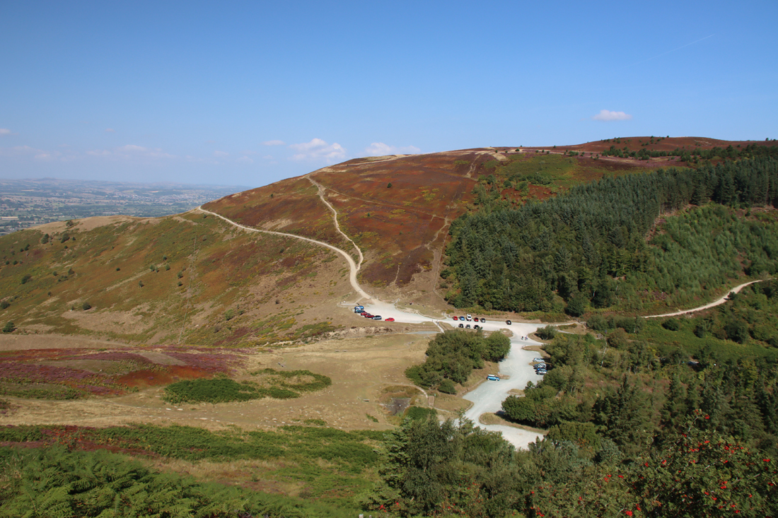
Parking for Moel Fenlli and Moel Famau, showing the main footpaths up Moel Famau.
There are two options for parking for Foel Fenlli. First, on the approach from the west there is plenty parking along the side of the well-maintained B-road between the A494 and Ruthin (called Bwlch Pen Barras) and this is free for up to two hours (no return within two hours). Alternatively if you are thinking of combining Moel Fenlli with Moel Famau and beyond, there is a pay-and-display car park that lies either side of the Bwlch Pen Barras . This costs £2.50 a day (at the time of writing), payable by cash or card at payment machines and all payments go directly to maintenance of the Moel Famau Country Park. The What3Words location for the Bwlch Pen Barras Car Park is ///hobble.passwords.device. Other than car parking there are no facilities of any sort.
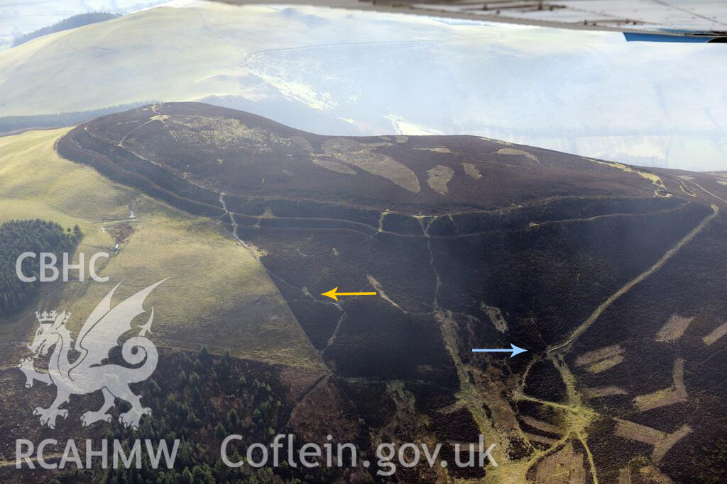
Aerial view of Moel Fenlli, looking south, showing footpaths leading from Bwlch Pen Barras car park. The yellow arrow shows the more direct route; the blue arrow shows the easier and longer route, albeit with one particularly steep section, with a floating staircase, indicated by the arrow. Source: Coflein
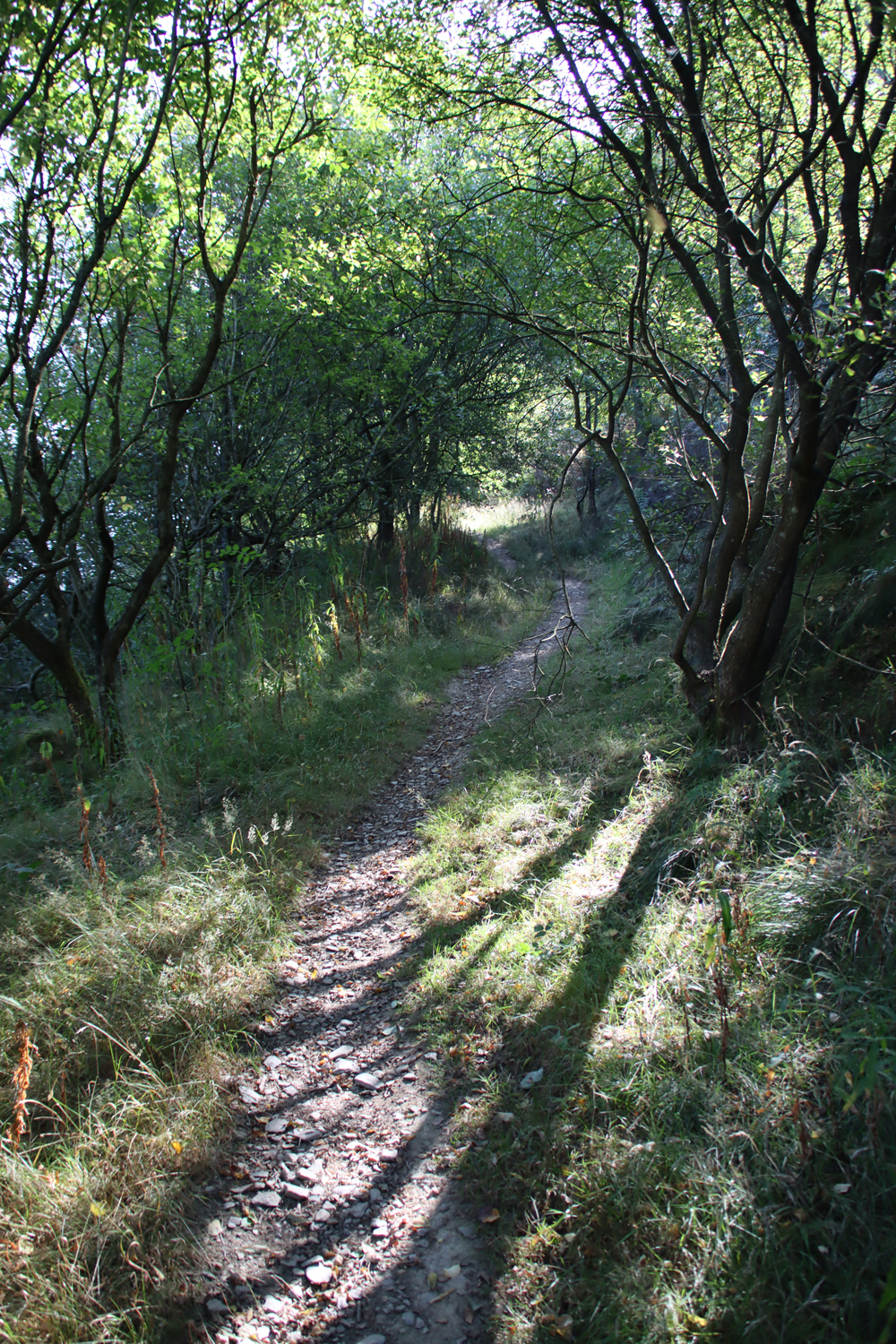 The steep route to the top of Moel Fenlli is at the very end of the Moel Fenlli side of the car park, on the left hand side, marked with a post, leading directly into woodland. When you emerge from the trees and bracken, the footpath goes more or less straight up the side of the hill. You need to be quite sure-footed because the narrow path is littered with broken stone that slips underfoot, and looks as though it turns into something of a stream after rainfall. At the top, only where it crosses the ramparts, there is a “floating” (wood framed and stone fill) staircase.
The easier route is on the right side of the Moel Fenlli car park, either past the gateway at the end of the car park, or more clearly signposted opposite the entrance to the car park on the Moel Famau side of Bwlch Pen Barras. This takes a leisurely zig-zag route along the side of the hill. Less leisurely is the anti-clockwise route around the hilltop, which takes you up onto the ramparts and along a spectacular circular walk around the hillfort; a very long floating staircase takes you up a very steep section that follows the Offa’s Dyke Path. It was a lot easier going clockwise, which I did quite by accident; it was a hot day and those following the Offa’s Dyke path uphill along the anti-clockwise route were extremely out of breath.
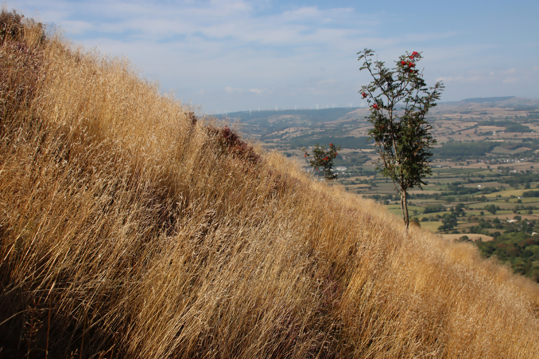
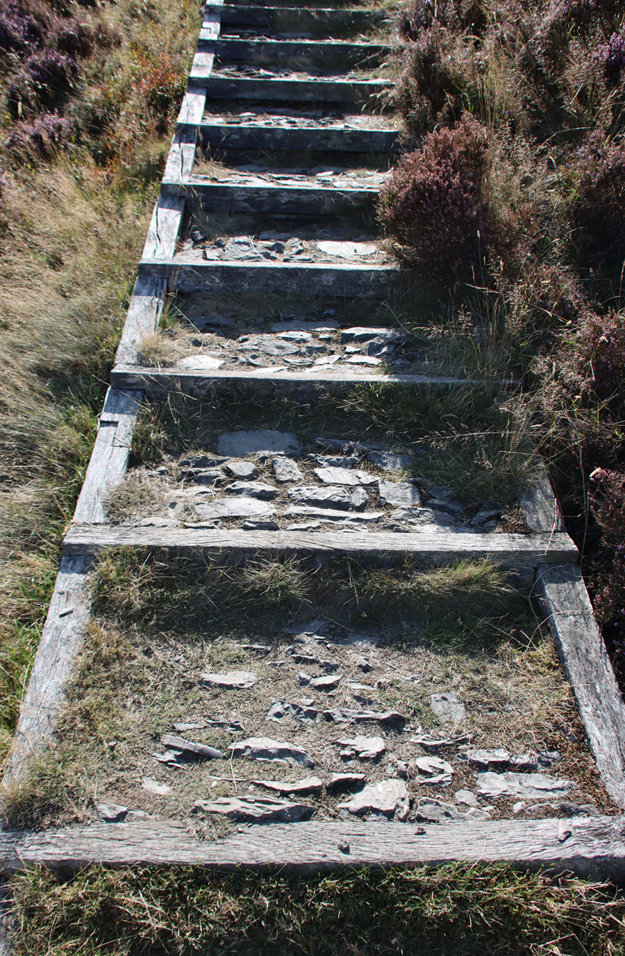
Floating staircase
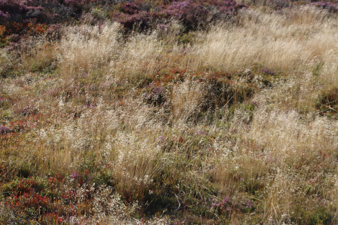
Both footpaths have terrific views, and the walks around the banks of the hillfort give splendid views in all directions. There are well worn paths from the perimeter walk through the vegetation to the cairn, but for the most part the interior is a dense mass of heather and wild bilberries, very beautiful at this time of year with the heather in flower and the bilberry leaves turning bright red, but through which it is difficult to force passage.
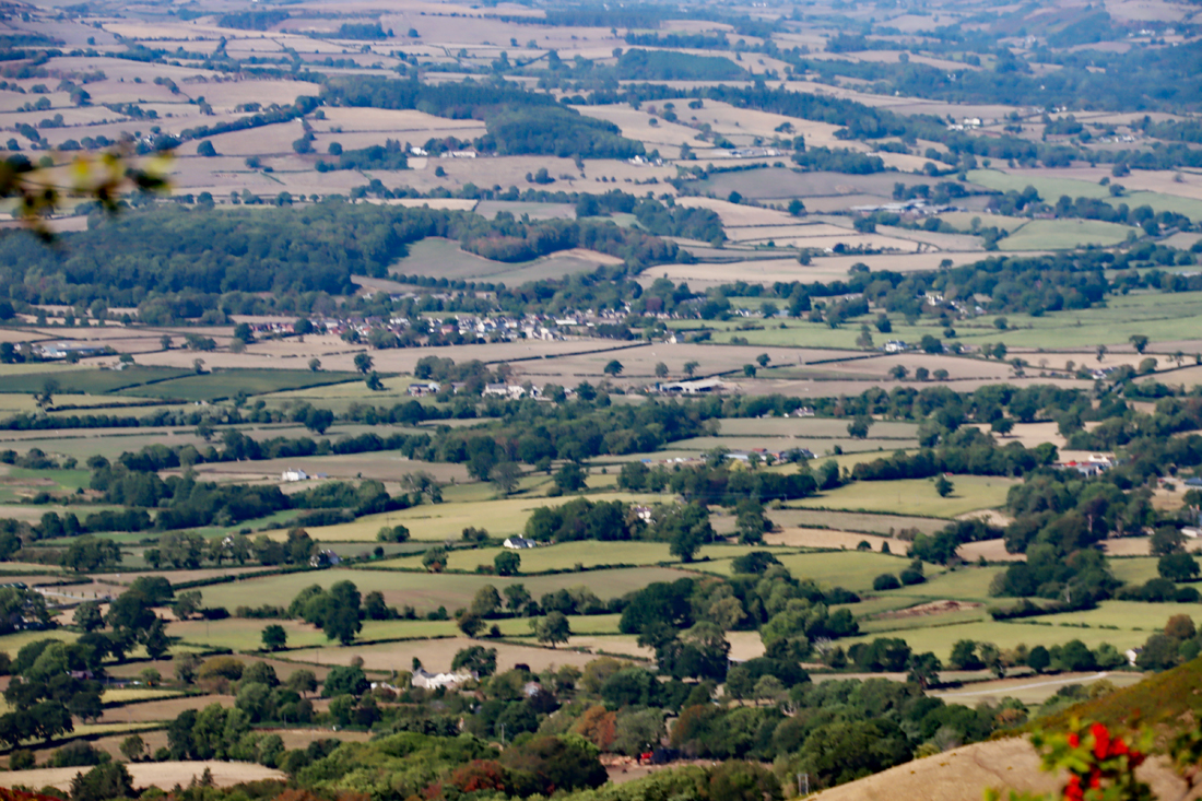
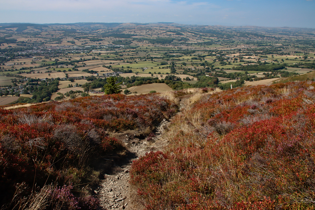
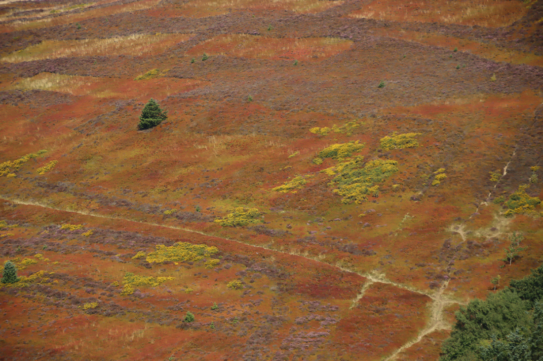
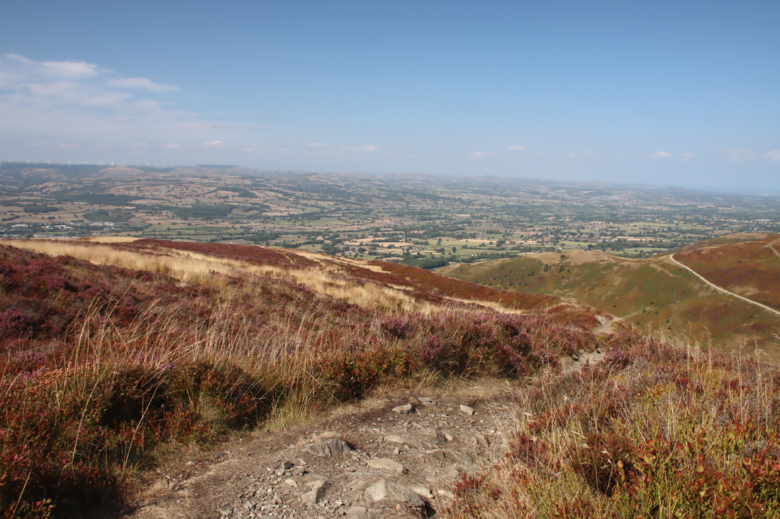
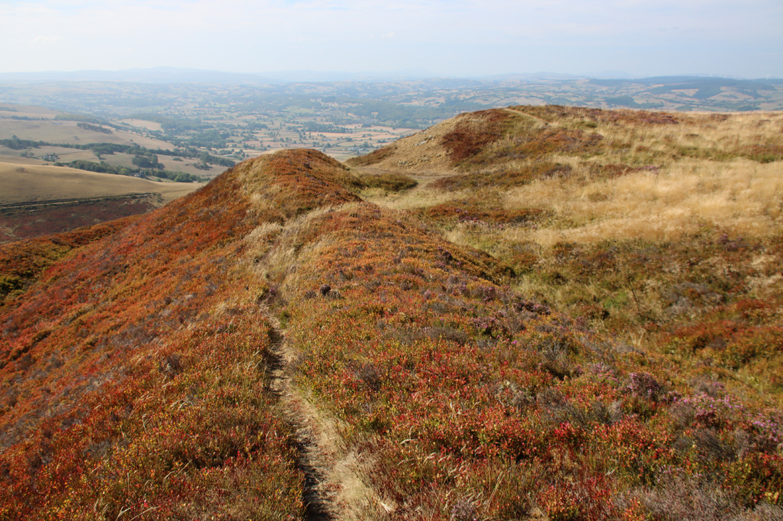
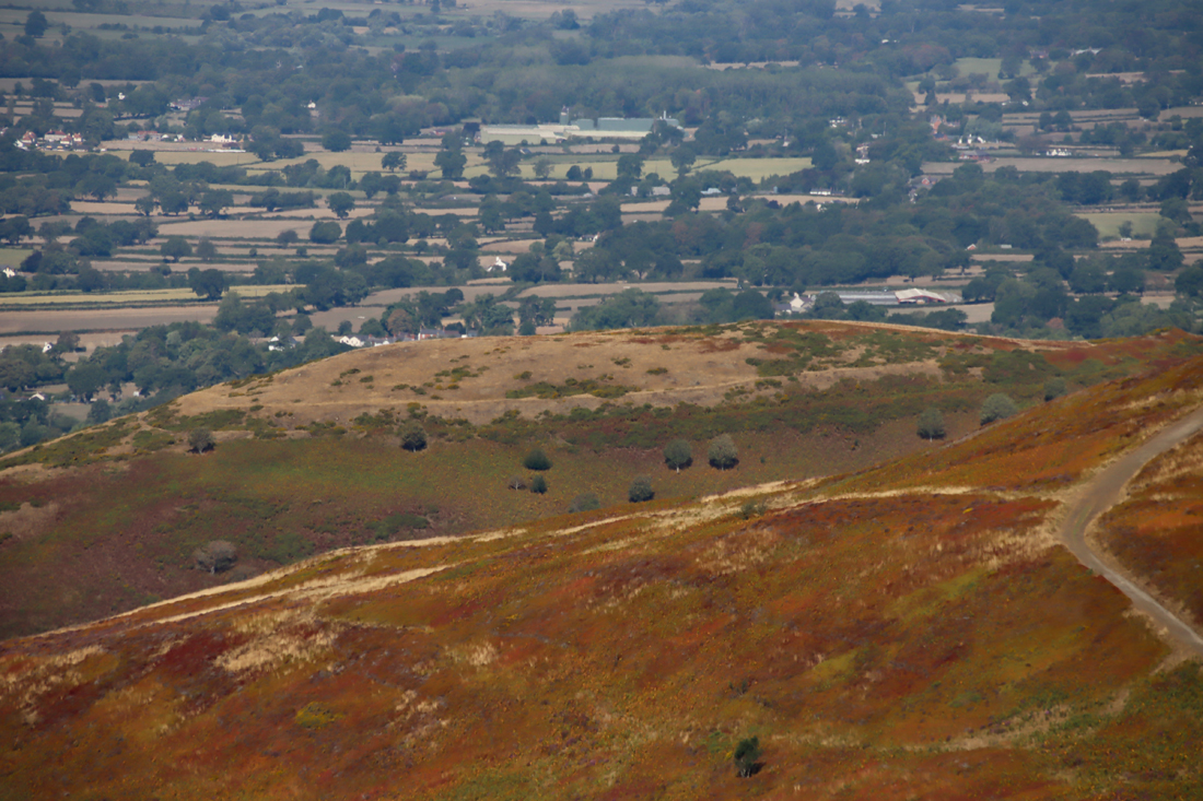
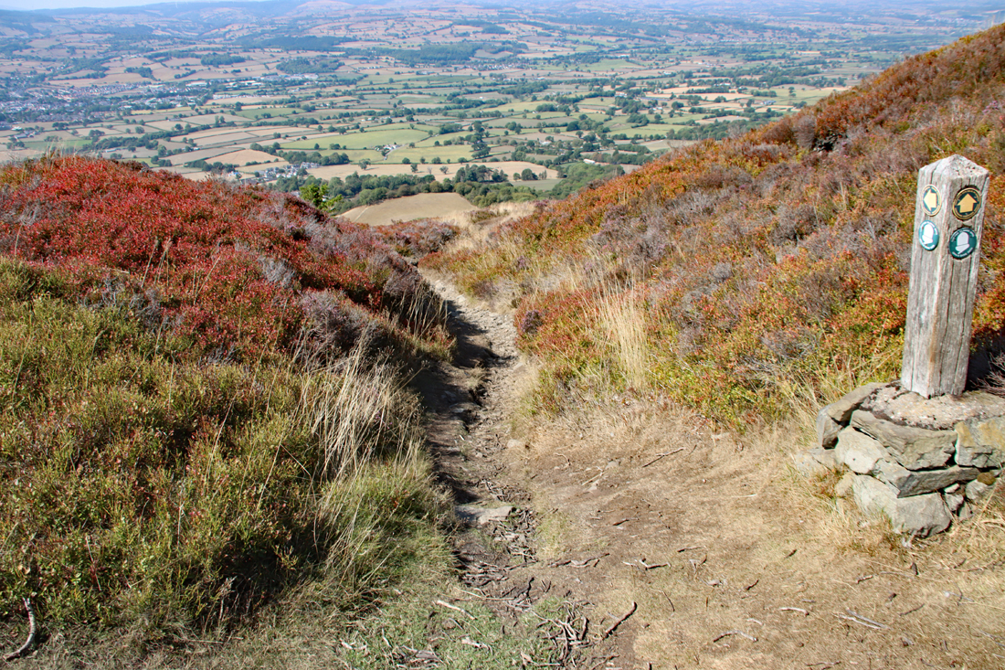
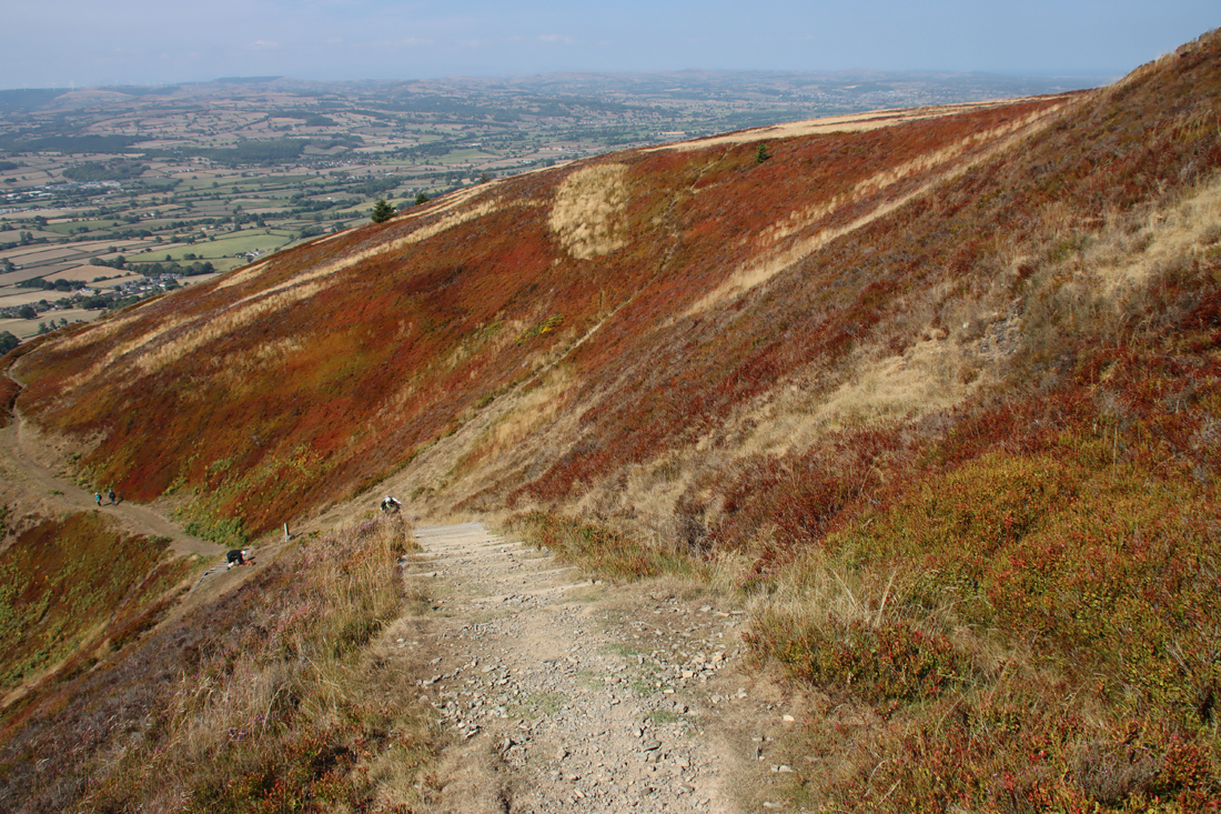
The steep section on the Offa’s Dyke Path with a floating staircase. Those coming up were suffering; I was going down the hill towards the car park
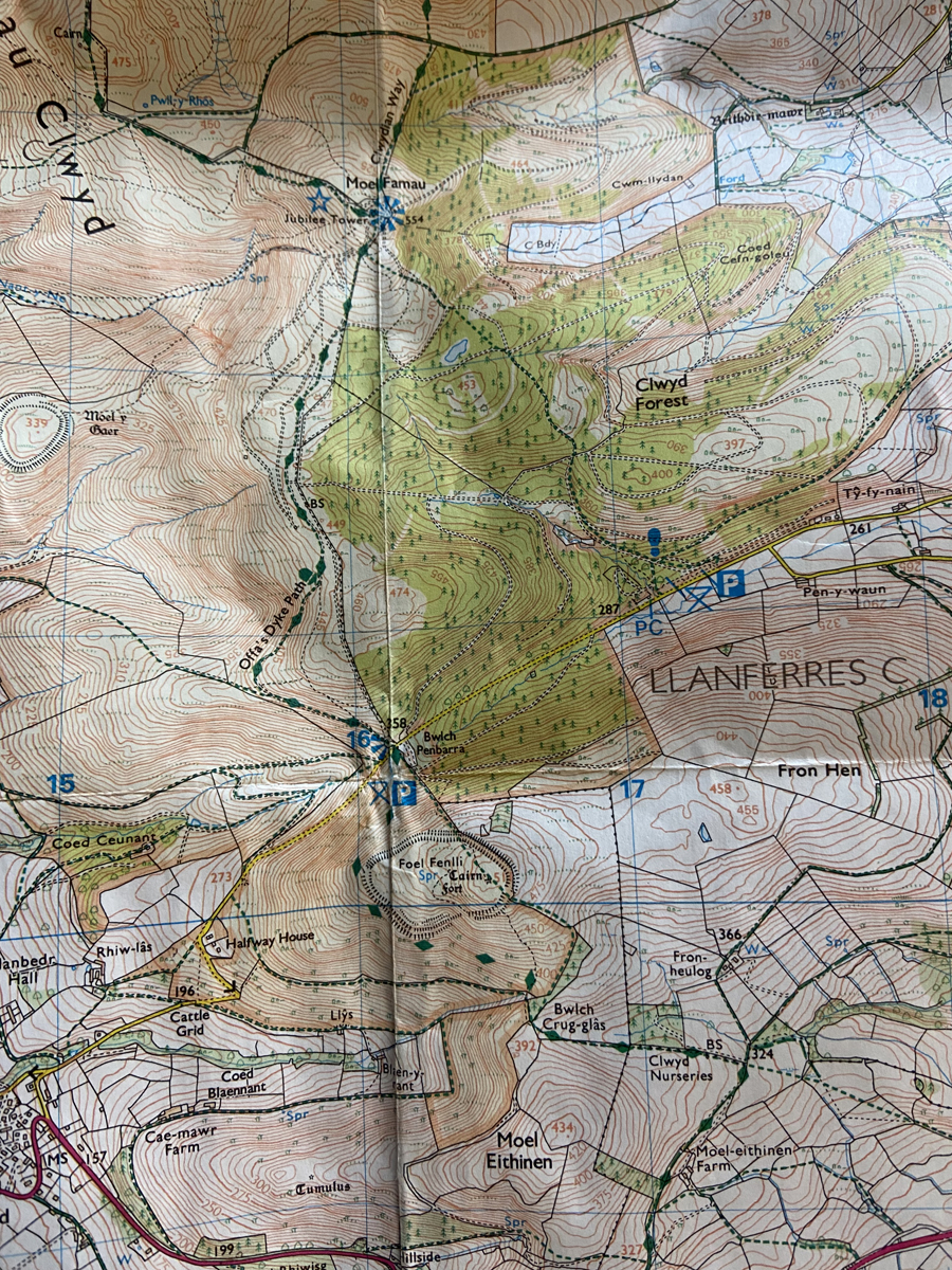
OS map showing Moel Fenlli ( near the bottom, labelled Foel Fenlli) and Moel Famau (top) with the Offa’s Dyke Path clearly marked (click to enlarge). Source: Ordnance Survey Explorer 265, Clwydian Range
It can get very windy on the hilltop, even on what seems like a fine day, and strong gusts of wind can pack quite a punch on the higher, more exposed parts of the rampart footpath.
If you want to make a day of it, the walk can take in the Offa’s Dyke path to the north, which also crosses Moel Fammau (the highest peak on the hill range, but which does not have a hillfort) and, further on to the north, to the hillforts of Moel Arthur and Penycolddiau.
Do be warned that if you are thinking of including Moel Famau in your walk, it gets very busy during the school holidays on sunny days, even on week days, and the constant whining of small children being dragged up the path by parents loudly urging them on can be very tedious! I went up Moel Fenlli at about 10am, when both sides of the car park were quite empty, but by noon the route up to Moel Famau was beginning to get busy. I had forgotten that the children had not gone back to school, and the Moel Famau walk was more like a popular seaside venue than a hiking trail. There were no children on Moel Fenlli, and very few adults, so perhaps the best solution for a peaceful dual walk during the school vacations is to leave Moel Fenlli until after a walk to Moel Famau.

Sources:
Books, pamphlets and papers:
Brown, Ian 2004. Discovering a Welsh Landscape. Archaeology in the Clwydian Range. Windgather Press, p.58-82
Brown, Ian 2009. Beacons in the Landscape. The Hillforts of England and Wales. Windgather Press
Burrow, Steve 2011. Shadowland. Wales 3000-1500BC. National Museum of Wales and Oxbow Books.
Davies, J.L. and Frances Lynch 2000. The Late Bronze Age and Iron Age. In F. Lynch, S. Aldhouse-Green and J.L. Davies (eds.), Prehistoric Wales, Stroud: Sutton Publishing, p.139–219.
Gardner, W. 1921. The Ancient Hillfort of Moel Fenlli, Derbyshire. Archaeologia Cambrensis, Series 7, vol. 1, p.237-252
https://journals.library.wales/view/4718179/4729445/269#?m=26&xywh=-1912%2C612%2C6356%2C3040&cv=268
Grenter, Stephen 1984. Erosion of the Past. Archaeology in Clwyd, no.6, p.28-9
Gale, Fiona 1991. The Iron Age. In John Manley, Stephen Grenter and Fiona Gale (eds.) The Archaeology of Clwyd. Clwyd Archaeology Service, p.82-96
Heather and Hillforts Partnership Board 2011. Heather and Hillforts of the Clwydian Range and Llantysilio Mountains. Denbighshire County Council
Kent, Paul 1977. Hill Forts in the Moel Famau Country Park. County Planning Department, Clwyd
Lloyd Jones, Erin 2019. Connections between the hillforts of the Clwydian Range and the wider landscape. Unpublished PhD thesis, Bangor University
https://pure.bangor.ac.uk/ws/portalfiles/portal/22607372/2017_Jones_EL_PhD.pdf
Matthews, David. J. 2020. Caer Ogyrfan – hillfort of the norther border. In Tim Malim and George Nash (eds.) Old Oswestry Hillfort and Its Landscape. Ancient Past and Uncertain Future. Archaeopress, p.23-61
Wynne-Ffoulkes, William 1850. Castra Clwydiana II – Moel Fenlli. Archaeologia Cambrensis, New Series I, April 1850, p.81-89
https://datasyllwr.llgc.org.uk/journals/pdf/2989691.pdf
Wynne-Ffoulkes, William 1850. Castra Clwydiana II- Moel Gaer. Archaeologia Cambrensis, July 1850, p.174-187
Websites:
Atlas of Hillforts of Britain and Ireland (by Gary Lock and Ian Ralston, 2024).
https://hillforts.arch.ox.ac.uk
Based in Churton
Moel y Gaer Rhosesmor hillfort
https://basedinchurton.co.uk/2026/08/23/a-visit-to-the-iron-age-hillfort-moel-y-gaer-in-rhosesmor/
Caer Drewyn hillfort
https://wp.me/pcZwQK-4ft
Burton Point: The small and rather puzzling Iron Age promontory fort on the Wirral
https://basedinchurton.co.uk/2026/04/11/the-small-and-rather-puzzling-burton-point-promontory-hillfort-on-the-wirral/
Exploring Maiden Castle Iron Age Hillfort, Bickerton Hill (mid-Cheshire Sandstone Ridge)
https://basedinchurton.co.uk/2025/12/01/exploring-maiden-castle-iron-age-hillfort-bickerton-hill-mid-cheshire-sandstone-ridge/
Beneath Chester’s Roman Amphitheatre – the Iron Age buildings and fields
https://basedinchurton.co.uk/2026/06/02/beneath-chesters-roman-amphitheatre-the-iron-age-buildings-and-fields/
Clwydian Range and Dee Valley
Moel Fenlli
https://www.clwydianrangeanddeevalleyaonb.org.uk/article/moel-fenlli/
Moel Famau Country Park
https://www.clwydianrangeanddeevalleyaonb.org.uk/article/moel-famau-country-park/
Clwyd-Powys Archaeological Trust
Historic Landscape Characterization: The Vale of Clwyd
https://heneb.org.uk/archive/cpat/projects/longer/histland/clwyd/clwyd.htm#Themes
https://heneb.org.uk/archive/cpat/projects/longer/histland/clwyd/1038.htm
Coflein
Foel Fenlli hillfort
https://coflein.gov.uk/en/sites/96522


That is one beautiful hill fort! Very interesting too. I suppose the occurrence of springs would mean it could have been more habitable than others.
Clare D
LikeLiked by 1 person
It was just so stunning. Wonderful. I walked several hillforts in Aberdovey several years ago, and I’m a bit of a fair-weather hillfort visitor, because there is seriously nothing much worse on a hike than a hillfort in pouring rain and a gale! Yes, the water sources must have made hillforts with a supply within the enclosures far more flexible in terms of multiple potential uses than those without. I haven’t yet been to the massive Penycloddiau, also on the Clwydian Range, but that too has water sources within its enclosure. I hope to get there soon too if we have another bright day.
LikeLike