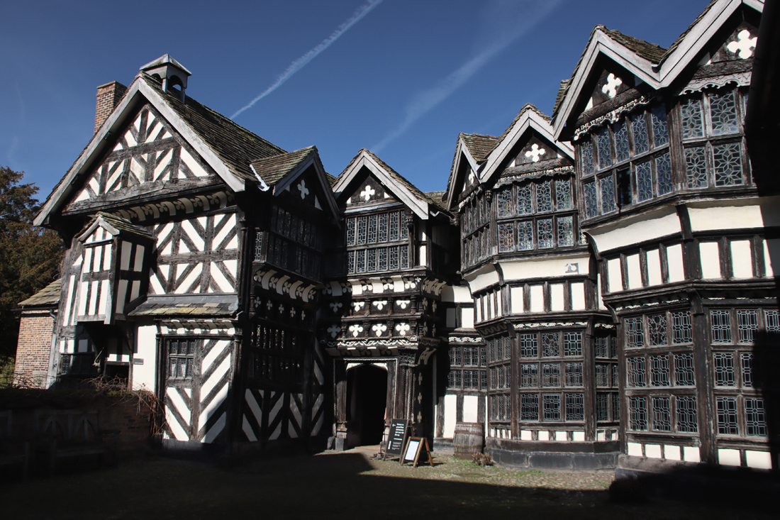
The Close oblique view from the Newcastle-Congleton road of the absurd half-timbered structure, crowned by an unbroken length of gallery window like some fantastic elongated Chinese lantern, and toppling, if not positively bending over the tranquil water of a moat, the whole an ancient pack of cards about to meet from the first puff of the wind its own reflection, is something which once seen can never be forgotten.
James Lees-Milne, “People and Places,” 1992
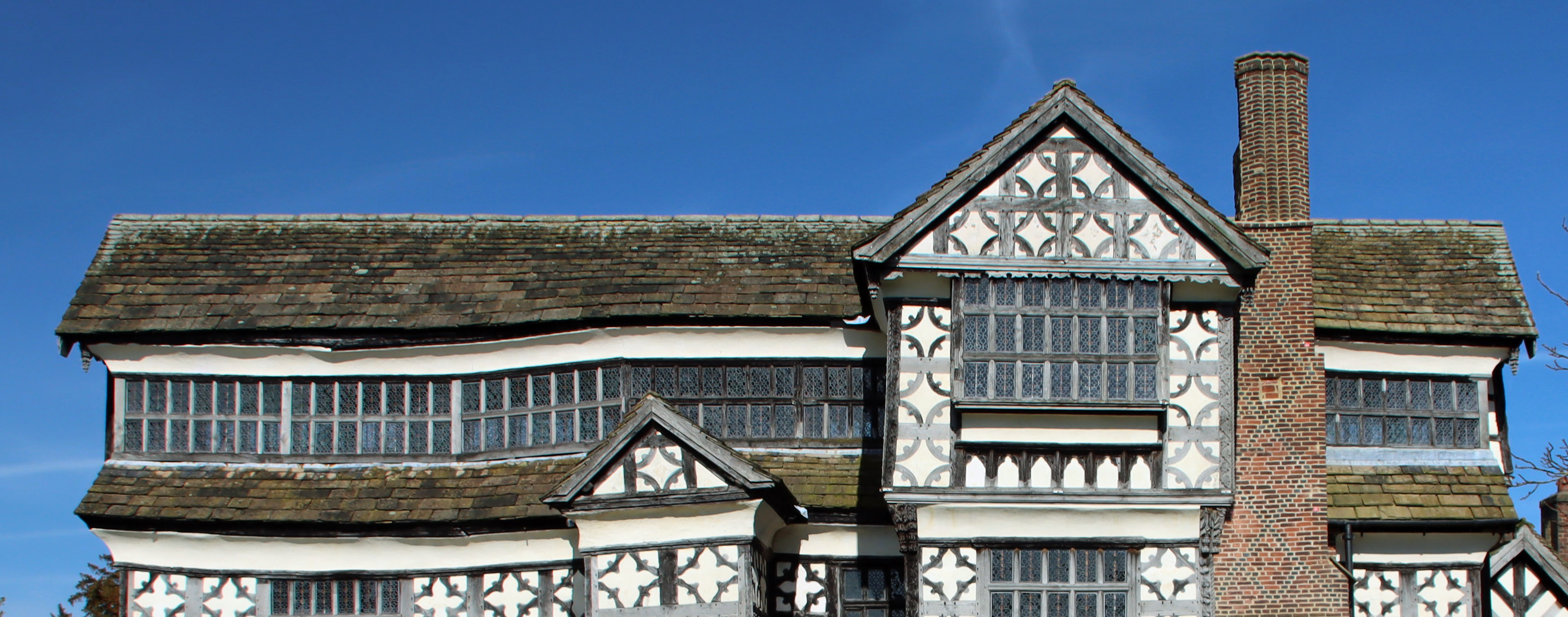
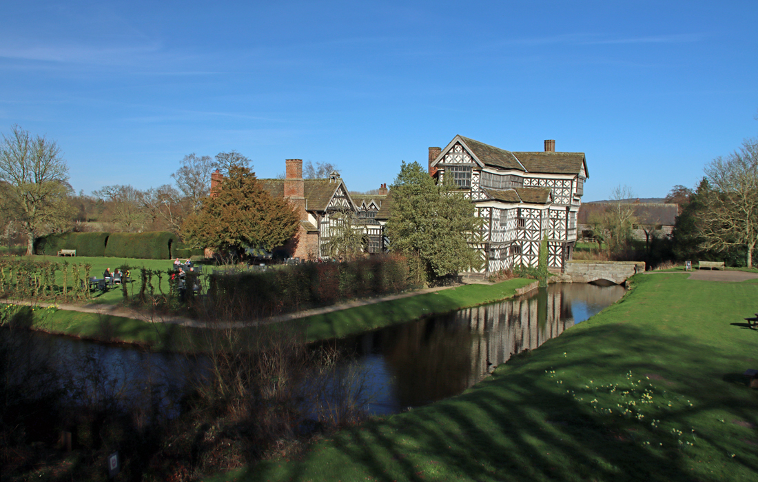 The half-timbered moated Little Moreton Hall shows to particular advantage against a blue sky, and with spring daffodils and violets dotted around its gardens, and a neatly clipped knot garden, it was looking particularly fresh and sparkling on Wednesday last week. It seems more than a little miraculous that it is still standing, as parts of it tilt away from other parts, and there are bends and kinks where no building should have them. But at the same time it is so beautifully cared for that it looks pristine, as though it was designed to be like that. As the guide book says, it looks as though it is defying gravity. The impression is misleading and it has taken many different phases of restoration work to keep the building in once, secure piece.
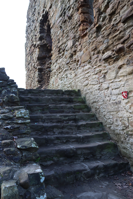
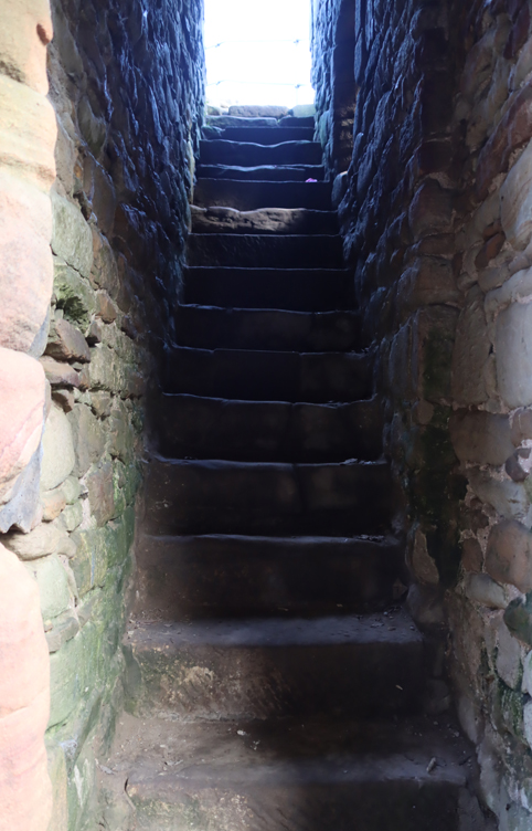
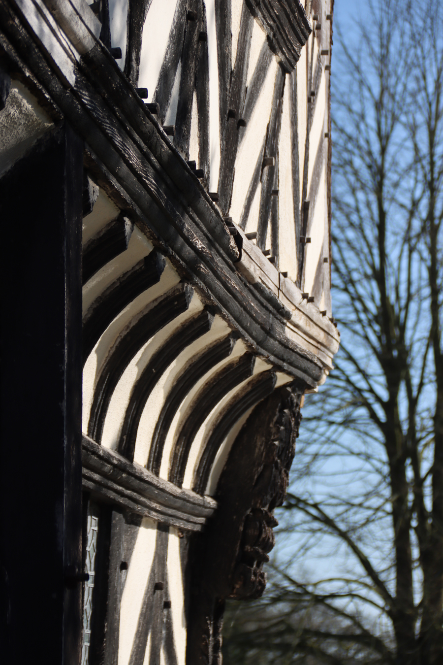
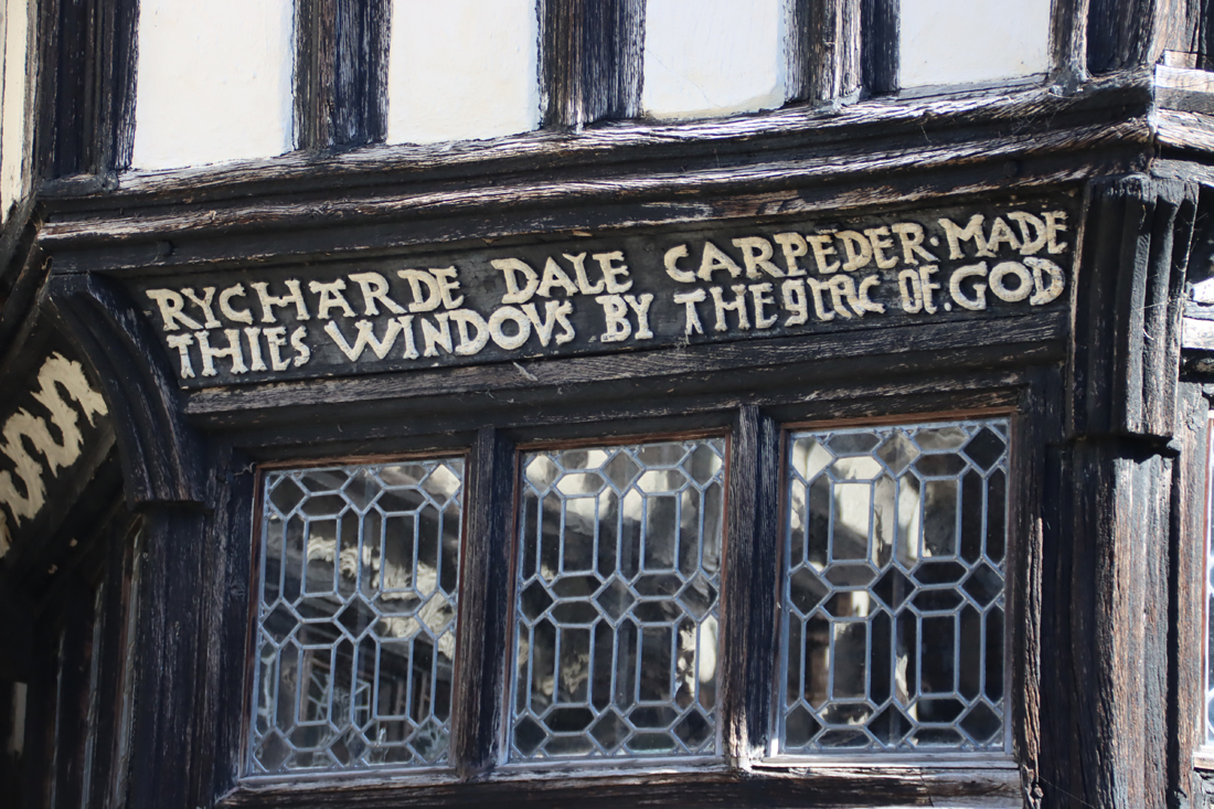
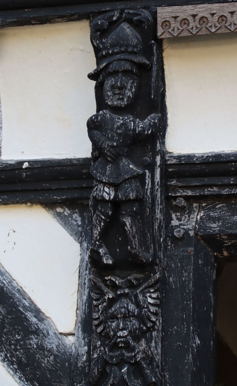
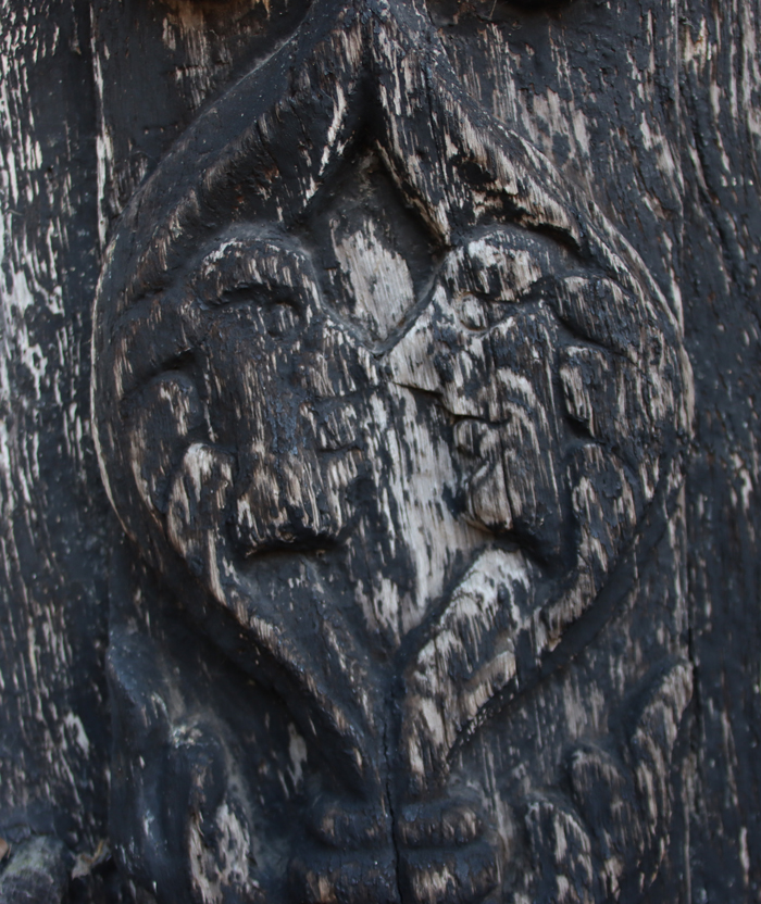
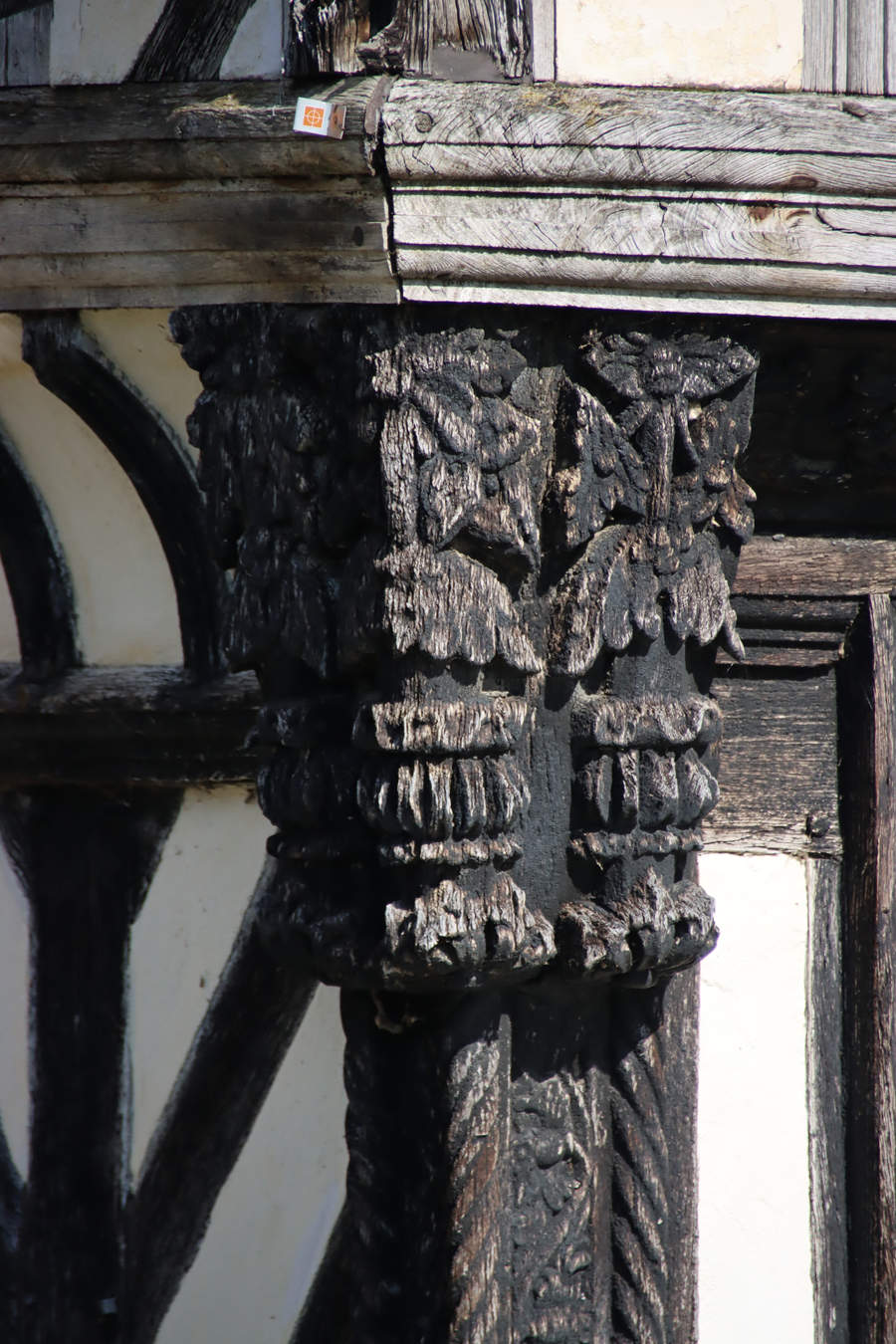
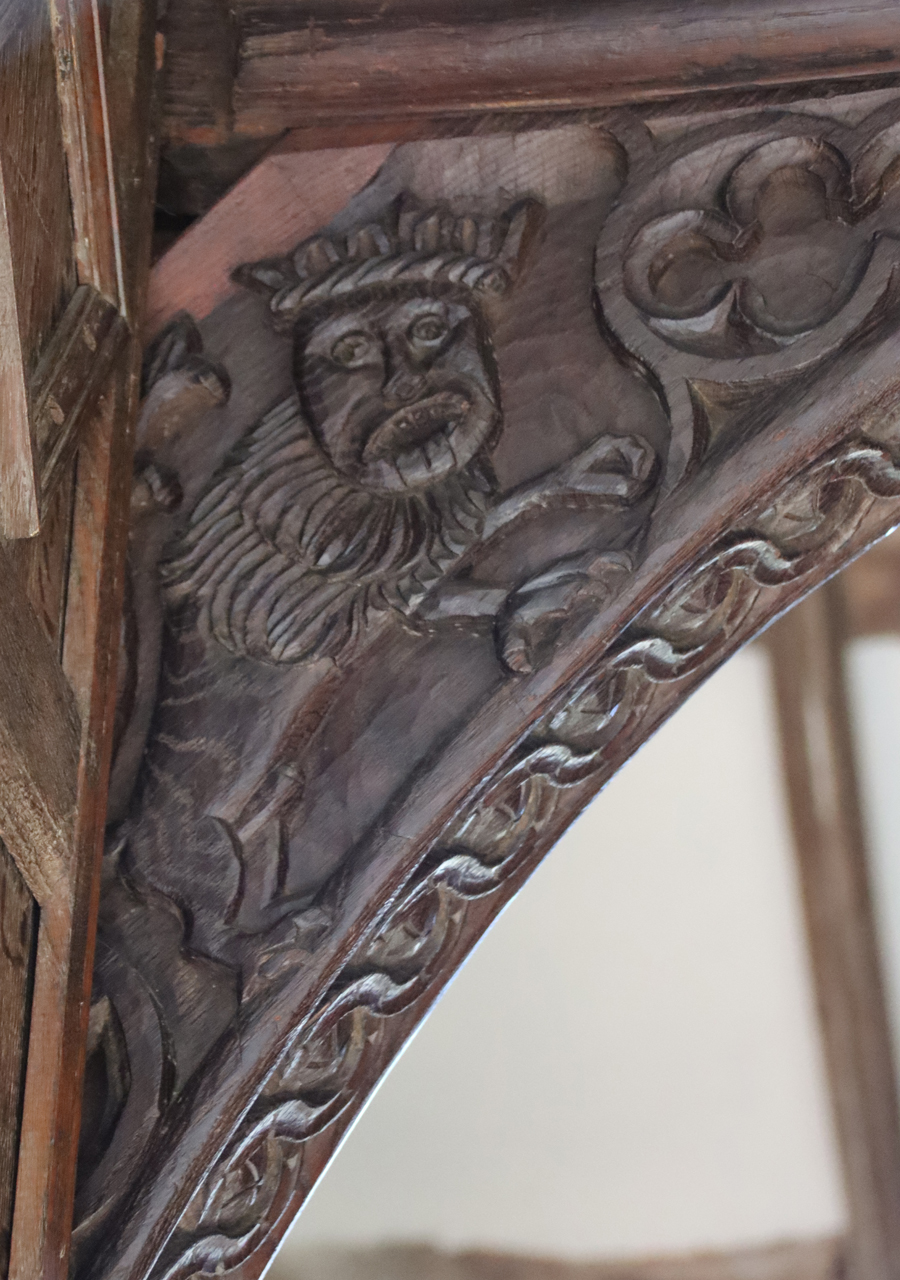
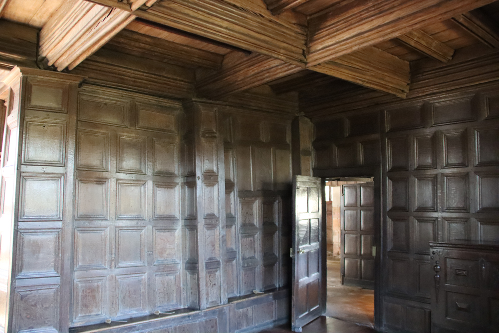
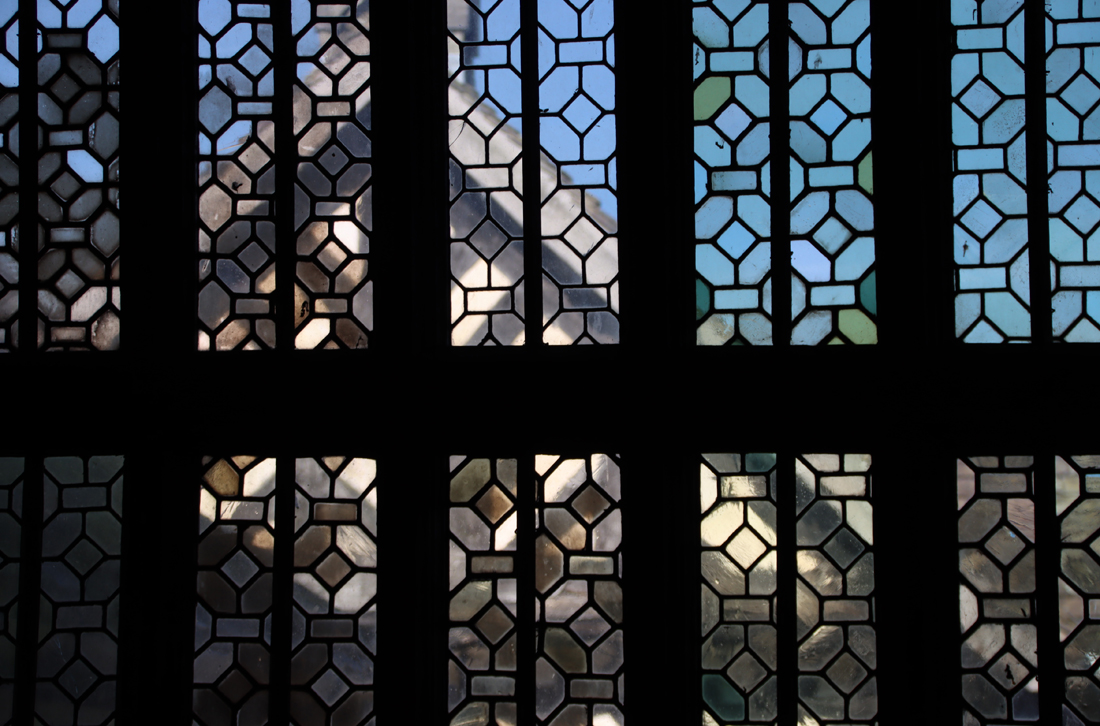
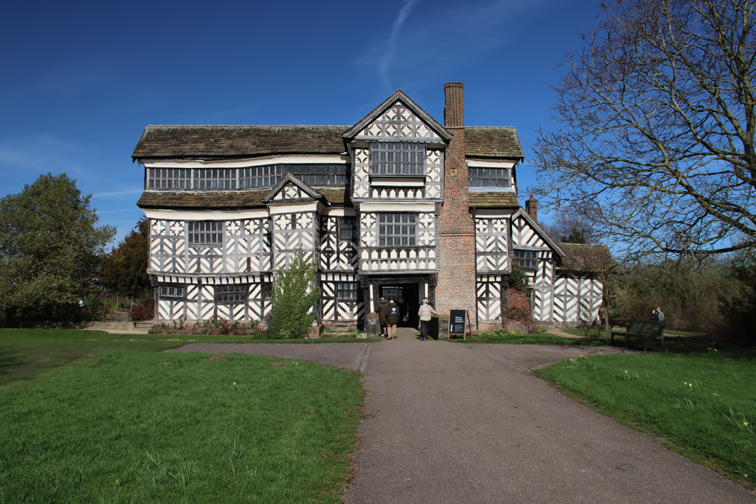 The visit to the house is self-guided and is split between the ground floor, entered on one side of the courtyard, and the first floor, via the staircase opposite. The house is entered via the bridge across the moat, which leads through the first set of buildings into the courtyard. The courtyard itself is a multi-textured vista of architectural features, carvings, mouldings, decorative shapes and tiny panes of window glass known as quarries, all forming different, mind-bending geometric patterns. There is so much to take in that it is difficult to know where to start looking.
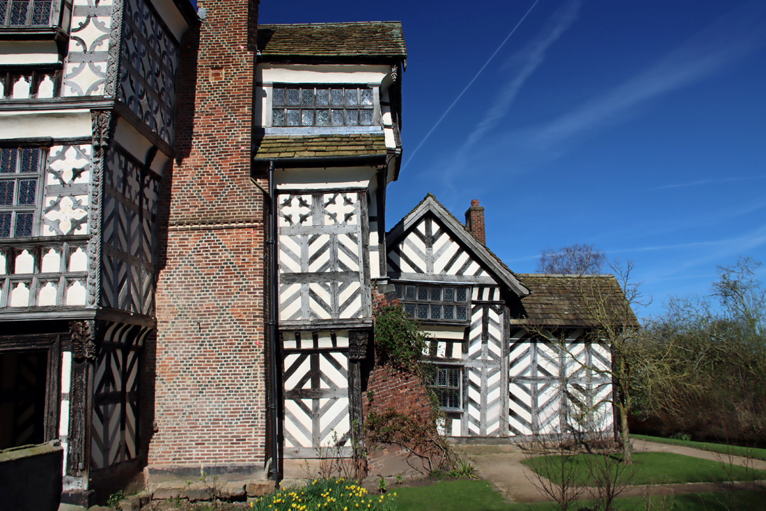
 The Tudor reigns produced a wide variety of architectural styles, and the half-timbered manor house was a particular feature of this part of the world, with good examples still remaining at, for example, Speke Hall in Liverpool, Pitchford Hall in Shropshire and the smaller Churche’s Mansion in Nantwich. Today the oak timbers are usually painted black, but this was not how they would have appeared in the Tudor period, when the oak would have been allowed to fade to a silvery colour. It was a Victorian idea that the timbers should be preserved that led to them being painted black.
The house was built and owned by the Moreton family who passed it down through generations until it was handed over to the National Trust in 1938. The Moretons were not landed aristocrats, and seem to have been both farmers and property speculators, buying land when it became available (most notably after the Black Death of 1348 and the suppression of the monasteries by Henry VIII in the mid 1500s), accumulating some 1360 acres (550 hectares) by the mid-6th century, most of which they rented out.
The prosperity of the Moretons was reflected in many additions to the house as a much-valued status symbol. Joan Beck in Tudor Cheshire comments that contemporary writers “wrote almost exclusively about the gentry and the farmers, for, with due respect to the nobility, these were the folk who mattered and who were responsible for all the improvements. There was a remarkable amount of new building and, where houses remain, the style of architecture and the size corroborate the story of wealth spent in this tangible way. This was an age of materialism.” This prosperity lasted until they declared in favour of the Royalists during the Civil War in 1642, after which the house was no longer expanded and began to deteriorate. Sadly there are only a few surviving records of the Moretons and their activities, most of them legal.
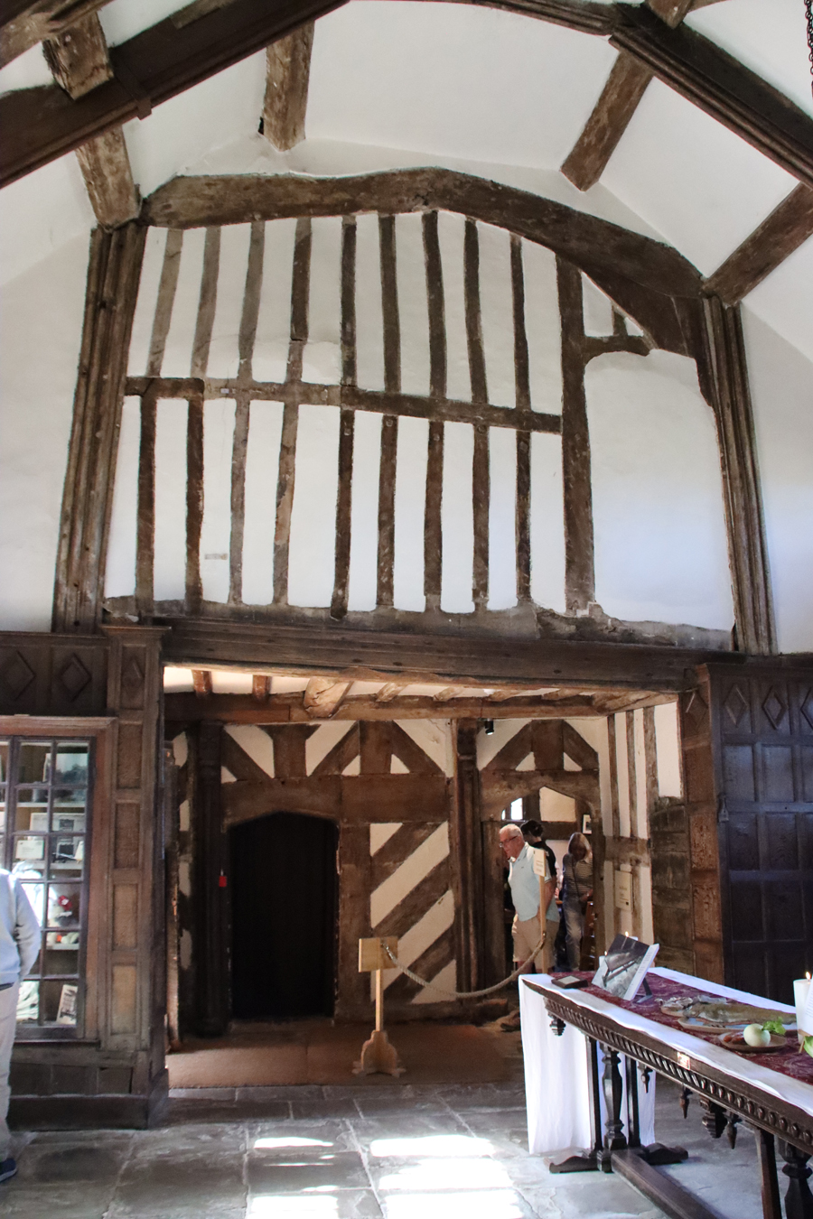
The Great Hall
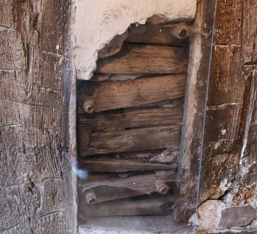
Four members of the Moreton family were responsible for the establishment and development of the Hall from the early 16th century until the mid 17th century. William Moreton I (d.1526) had married into the prominent local Brereton family, and it was he who began to build the house. It was made up of timber frames that were pegged together. Thin sections of wood linking the panels, which were plastered and whitewashed, and brick fireplaces and internal staircases helped to give the whole structure stability.
William Moreton II (c.1510-63) was responsible for the north-west wing, the porch and, later, adding a first floor and the twin bay niches in the courtyard.
John Moreton (c.1541-98 followed, and it was he who created the delightful paintings in the ground floor parlour and the chapel (with the text in English rather than liturgical Latin, a significant sign of the religious times).
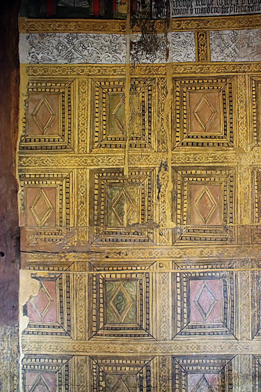
The painted parlour
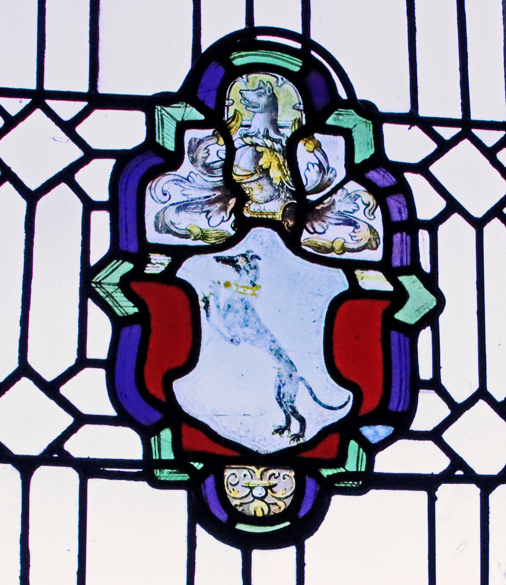
The greyhound was part of the heraldry of the Moreton family
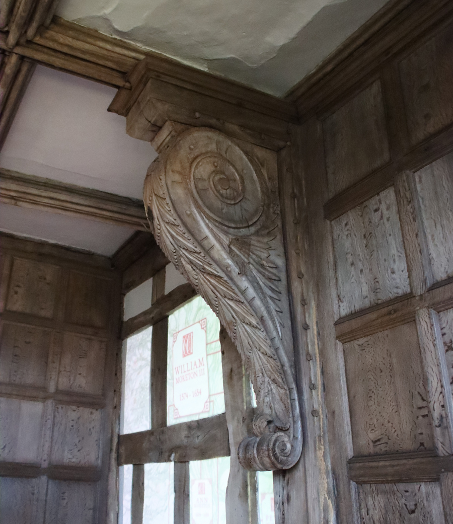
 William Moreton III’s (1574-1654) contributions were more prosaic, adding the brew and bake houses. He seems to have lavished most of his income on members of his extended family. He was arrested during the Civil War and although he was released, his estate was confiscated in 1643 to be used as occasional billeting for the Parliamentarian soldiers and horses. With their finances in tatters and their home deteriorating, the house remained in the family, but they no longer lived there and chose instead to rent out it out. In the 18th and 19th centuries the house became an object of curiosity, visited like so many other distinctive and ruinous buildings by artists looking for romantic subjects.
The best way to understand each of the rooms in the house is to to buy a guide book. The current version is excellent, and provides much of the information in this post, but the previous edition by a different author is also very good as well. However, there is one room that should be highlighted – the Long Gallery.
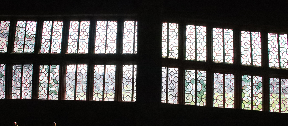
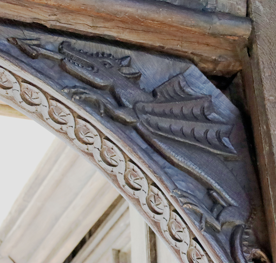
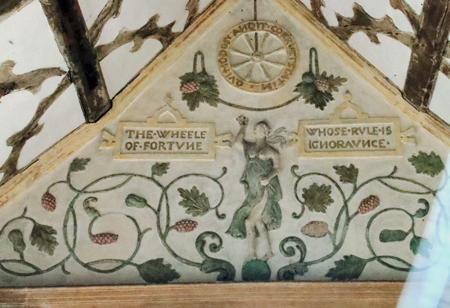
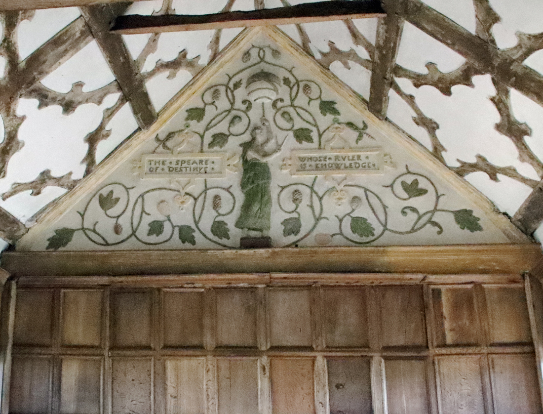
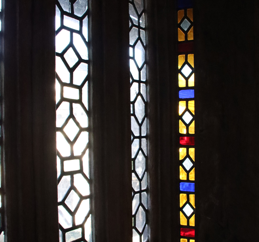
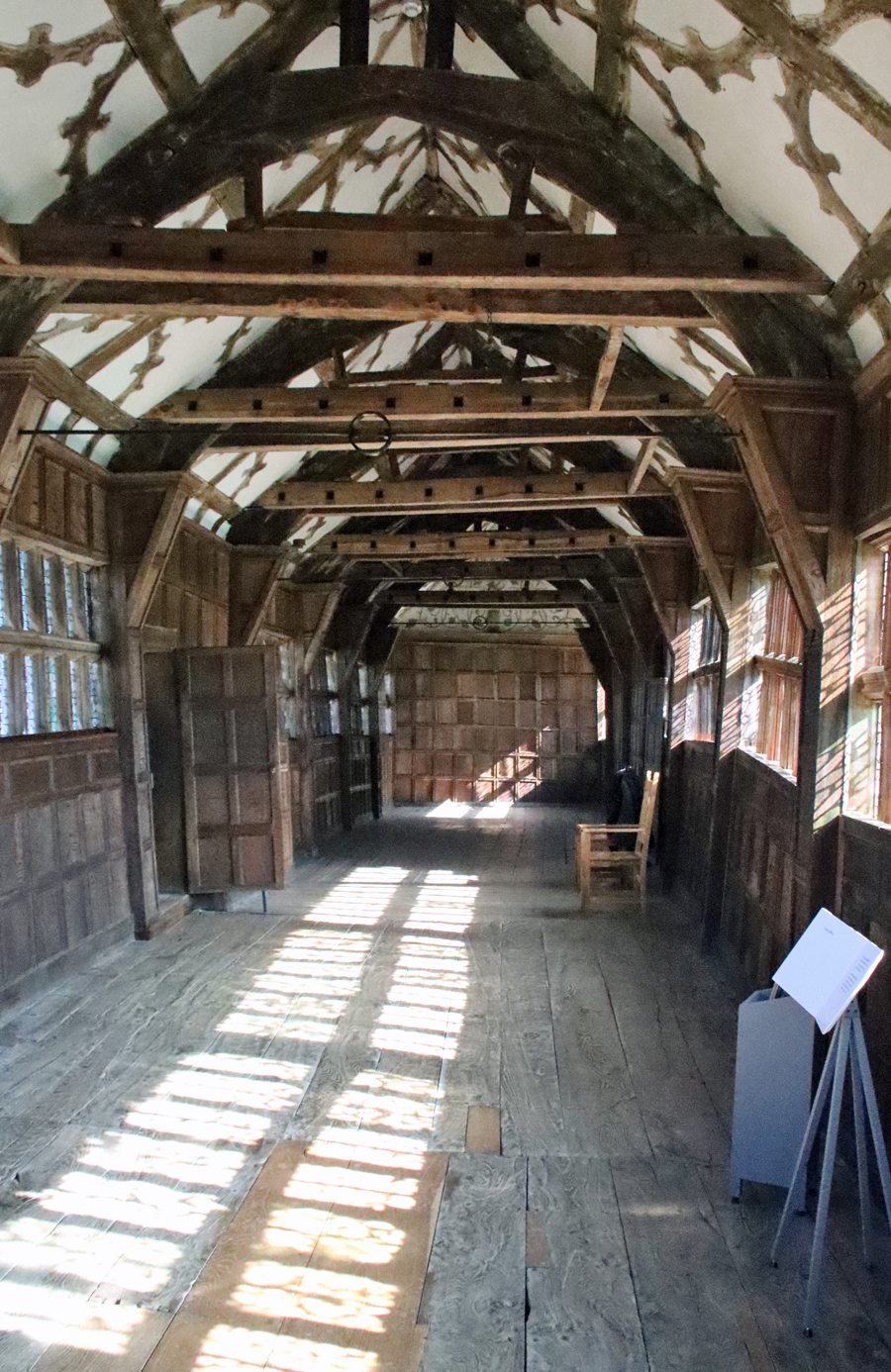 An inventory of 1601 suggests that it was build before that date. A casual glance at it from the outside shows that it has a dog-leg part way along, implying that it has slumped. The problems lie in the way in which it was built contrary to the convention of placing an upper room directly over the frame of the room below, ensuring that the existing structure provided the new level with as much support as possible. The gallery, however, is much narrower than the room beneath, perhaps to give provide a greater impression of length. The result is that it has no direct support and is additionally weighed down by the stone slabs that cover the roof. Repairs began almost as soon as it was built. In the 1890s iron tie-rods were added and in the late 1970s and 1990s steel was used to improve the structural stability. It is a glorious feature, with panelling, decorative woodwork in the ceiling, cross beams and banks of windows with tiny quarries. At each end is a painted plasterwork frieze showing excerpts from The Castle of Knowledge.
In the parlour off the Long Gallery is a striking and elaborate stone fireplace overmantel. Appearances are deceptive here. The fireplace is level, but the rest of the room is askew! It shows Justice and Prudence, popular 17th century Protestant themes, flanking the central panel, which would have been brightly painted (much like Plas Mawr in Conwy today). The coat of arms celebrates the marriage in 1329 of John de Morteon to Margaret, an heiress and daughter of John de Macclesfield. The leaded quarries in here are particularly pretty, and there is one that contains a piece of 1642 graffiti.
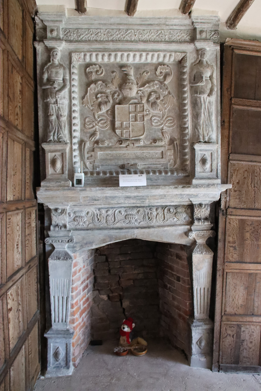
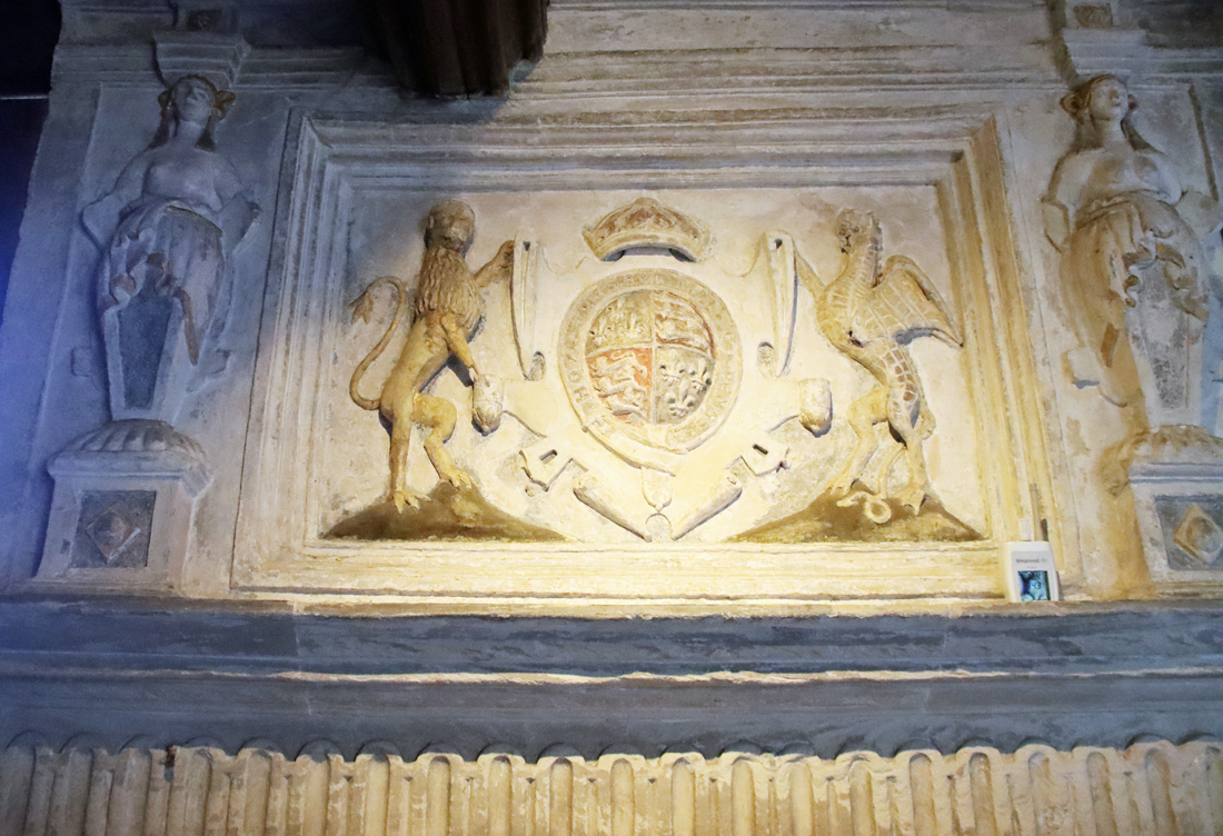
The fireplace in the Great Parlour, showing the coat of arms of Elizabeth I
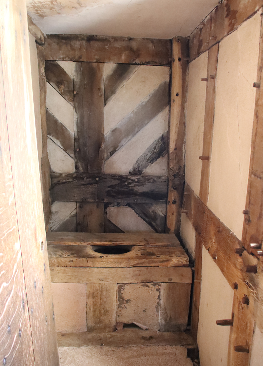
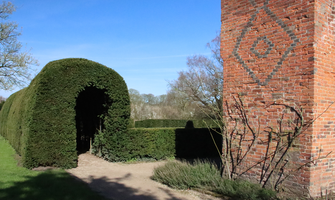
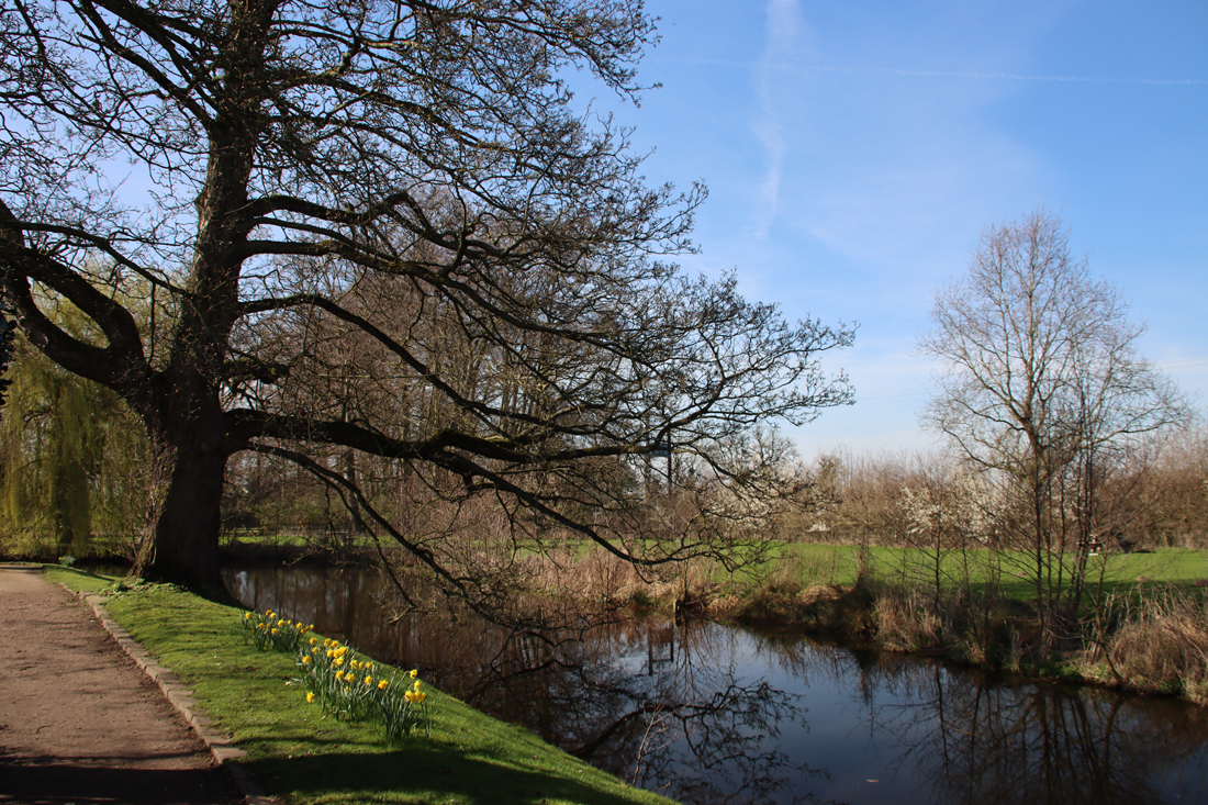
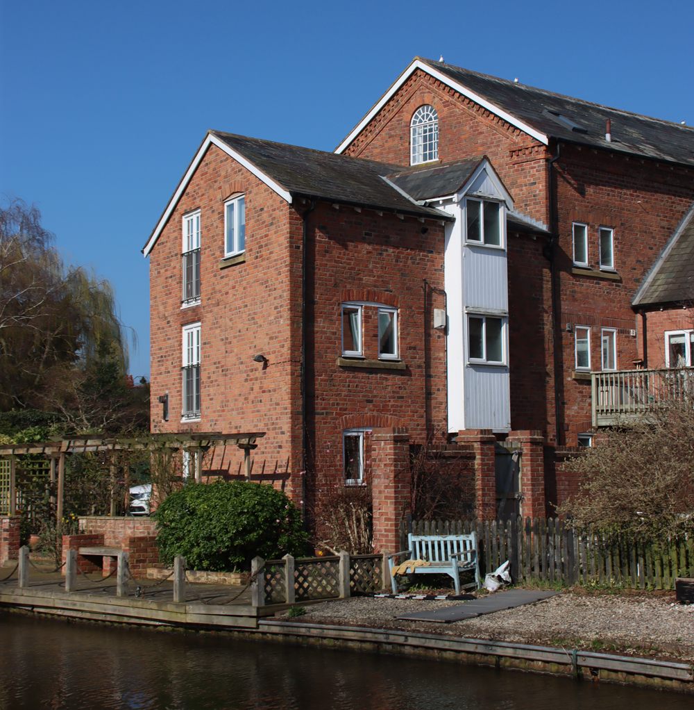
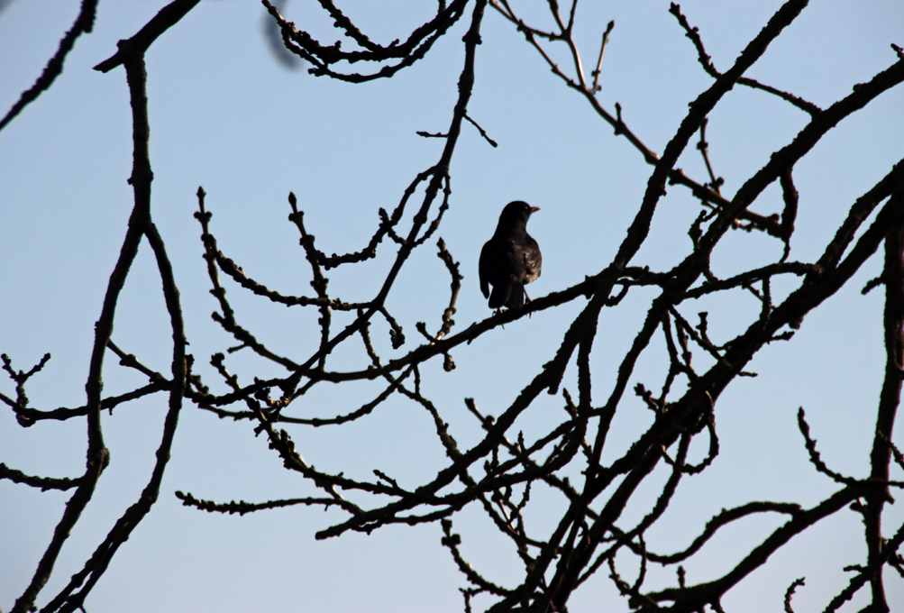
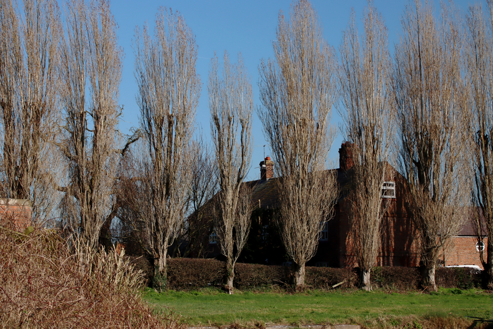
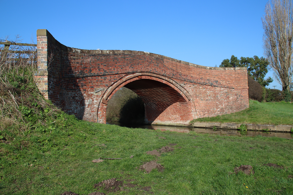
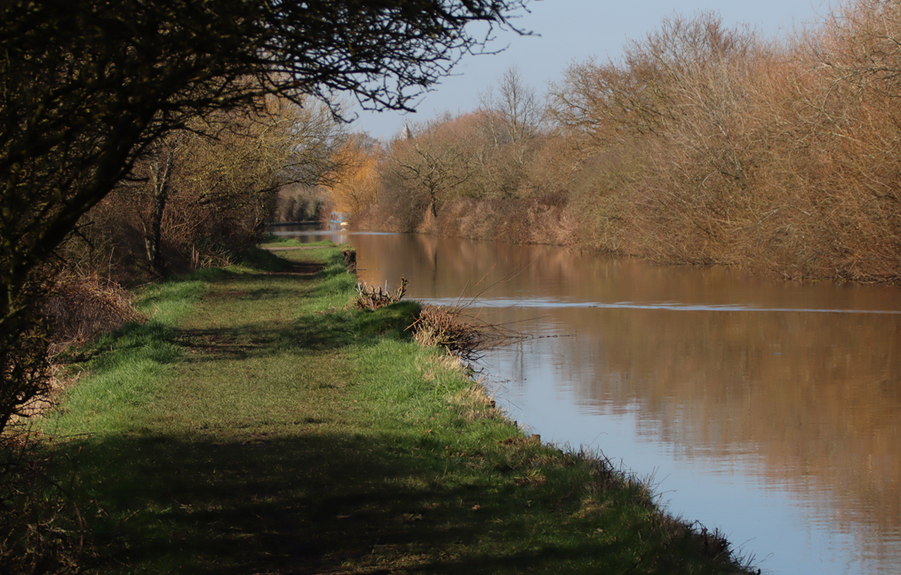
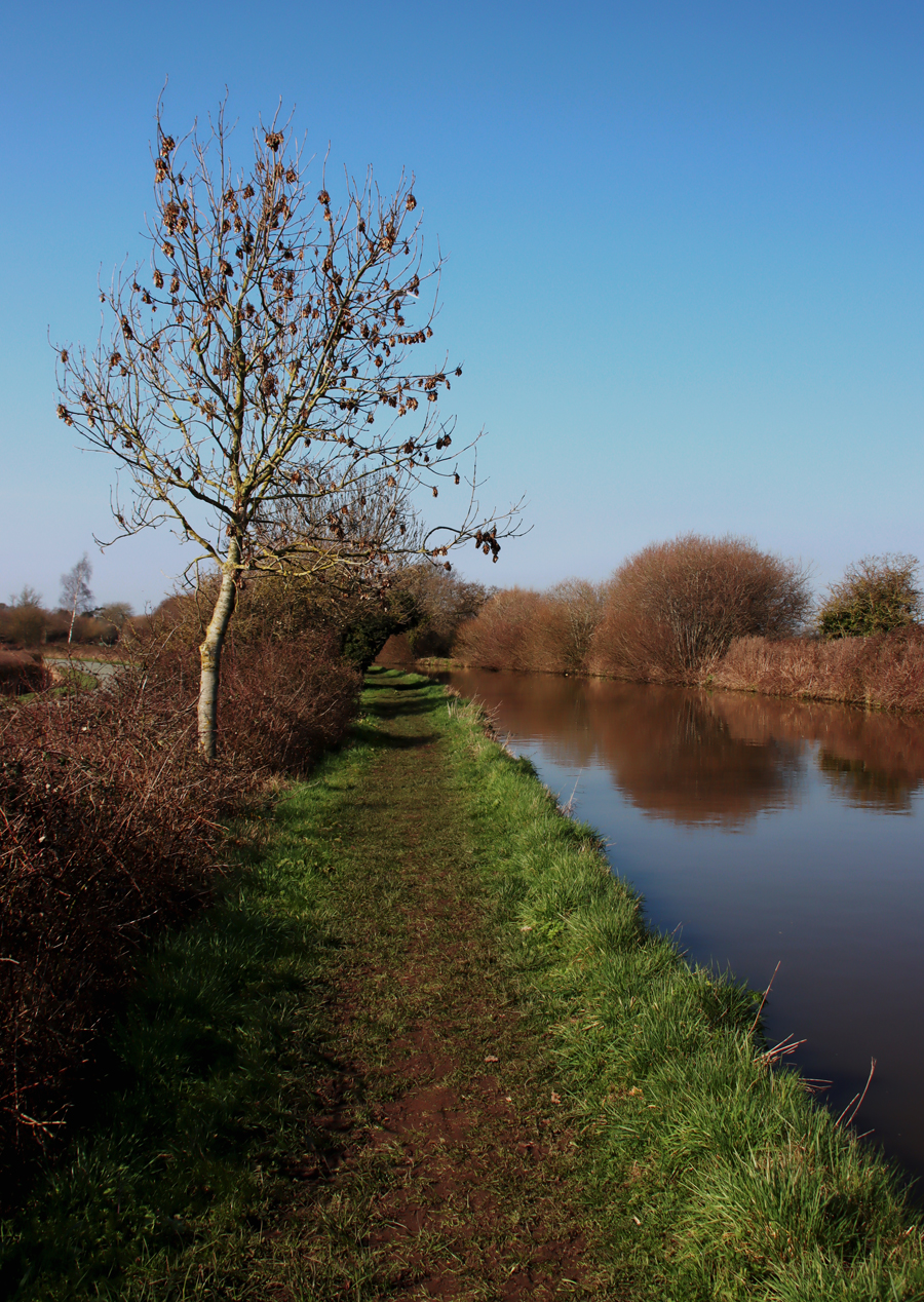
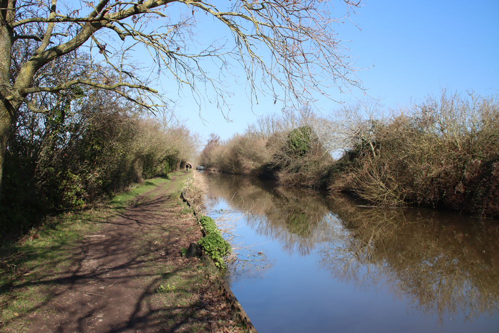
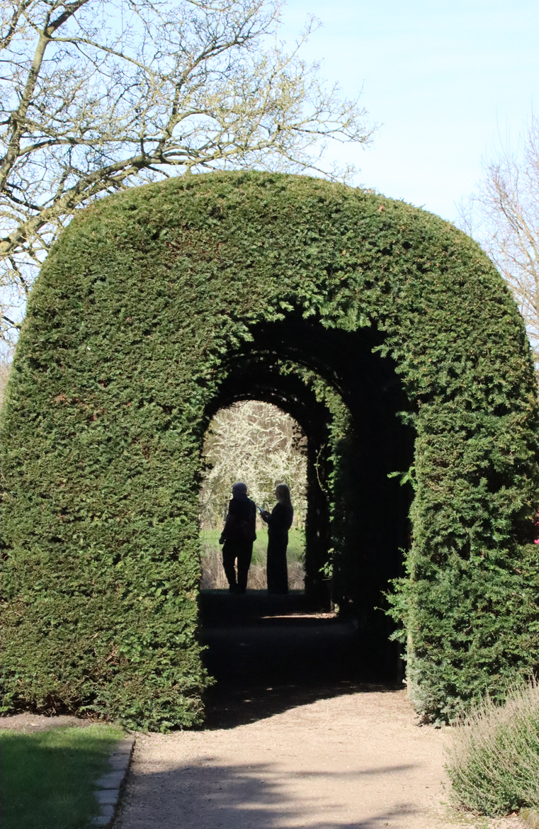
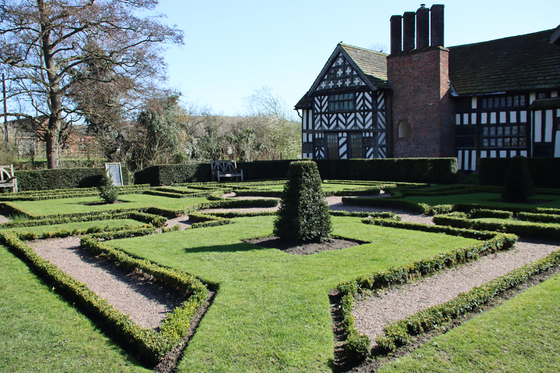 The home farm was established at the same time as the house, just across the moat in a neighbouring field, complete with the surviving cruick barn, as well as structures that are now lost, including stables and a dovecot. At the rear of the house the knot garden, based on a 17th century design and planted in 1972, is flanked by a gorgeous yew tunnel. To the side of the house, tables and chairs provide a lovely location for café users (excellent coffee and a fab bacon bap). A walkway follows the line of the towpath from one side of the bridge to the other. The plants in the garden have been chosen to reflect Tudor choices – many of them not only ornamental but useful too. I had never heard of skirret (a white fleshy root vegetable like parsnips, a favourite of Henry VIII. I had also never come across tussey musseys – posies of flowers and herbs carried as protection against disease. Wild strawberries were not merely delicious but were used to treat cuts and bruises.
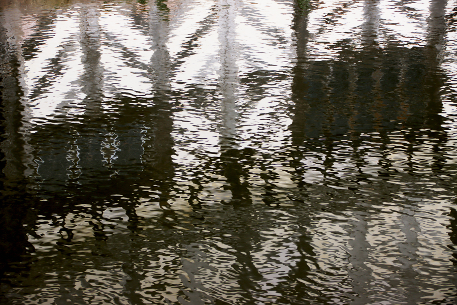
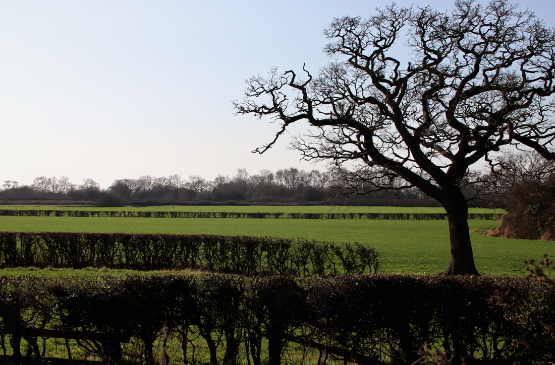
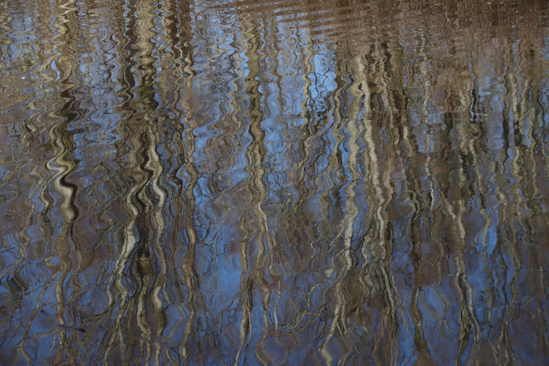
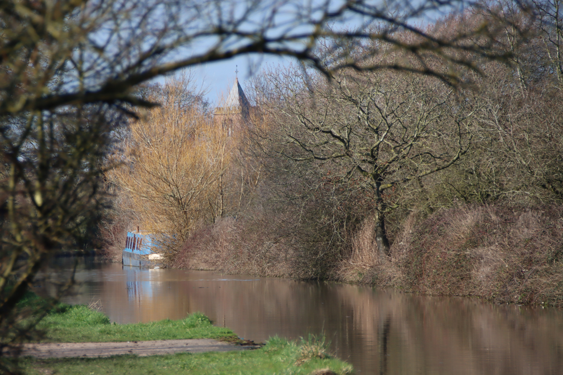
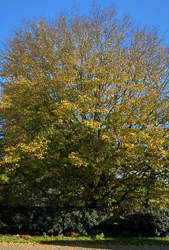
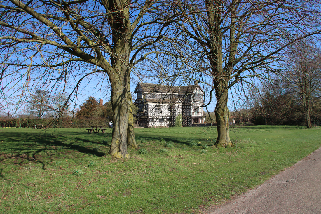
There is a viewing platform beyond the moat, which provides a slightly elevated view (the photograph at the very top of the post). A shop sells National Trust products and has shelves full of second hand books (with proceeds going to charity). This is a National Trust property, with plenty of parking. Visitor details are on their website.
With many thanks to Helen for the great company on a day that was both satisfyingly cultural and, over coffee and a bacon bap, profoundly lazy 🙂
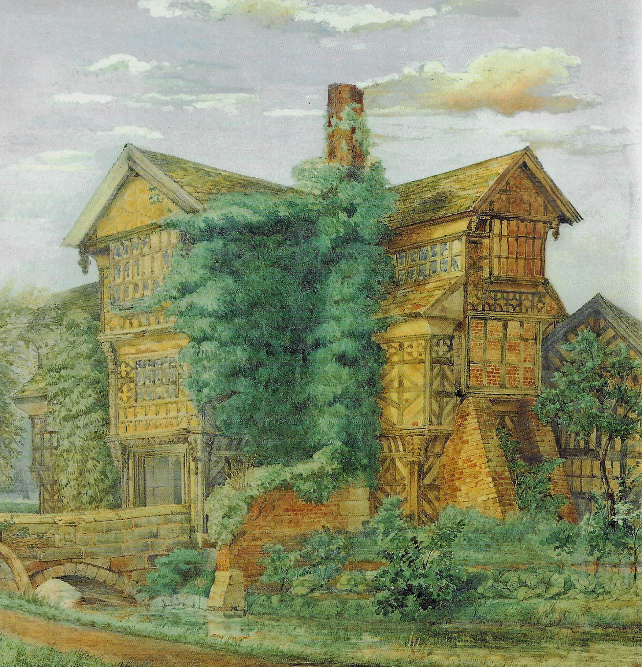
Little Moreton Hall by George Theaker, c.1886
Sources:
Beck, Joan 1969. Tudor Cheshire. Volume Seven of a History of Cheshire. Cheshire Community Council.
Stubbs, Susie 2015. Little Moreton Hall. The National Trust
Rowell, Christopher, revised by Jeremy Lake 1984. Little Moreton Hall. The National Trust