
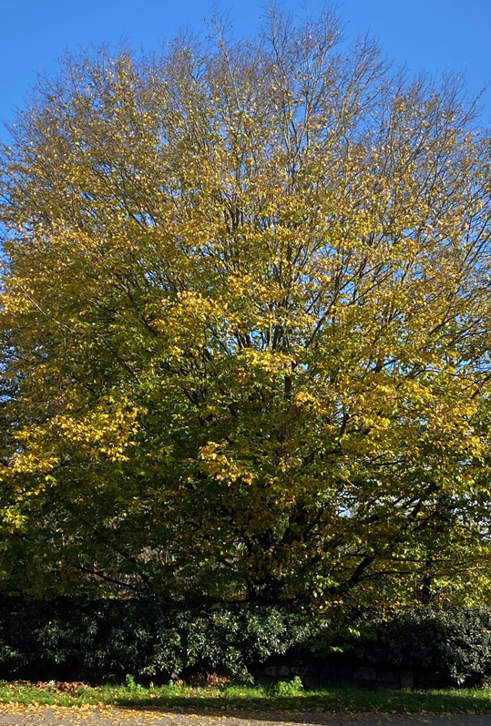
 Autumn sun and brightly coloured leaves are always a joy at this time of year, right up until the point that they drop in huge numbers and need clearing off the garden lawn 🙂
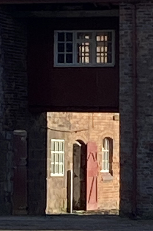
 Because it was so warm, my destination was The Grosvenor pub, a self-indulgent extension to my terrific short break in the Ironbridge area of Shropshire last week. It is always such a treat to be able to sit outdoors at this time of year.
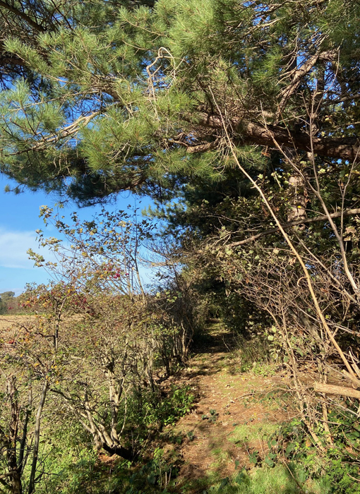
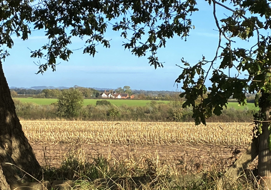
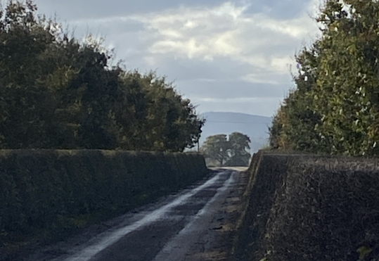
The map of this walk is at the end of the post, and is a very simple one. It takes around 40 – 45 minutes to walk through the fields to Aldford from Churton, so it is a short walk, and always a good fall-back when I don’t want to be bothered with the car. The harvested fields, mainly used for growing corn, can be very soggy at this time of year with nothing but wet earth under foot, but it is always an easy and attractive option on a sunny day when the leaves are changing colour. It was fine on the field edges, although distinctly squelchy underfoot crossing diagonally from footpath FP7 to FP6. Half of the route is the metalled B-road Lower Lane, which gave the hiking boots a bit of a break from the sludge.
Irritatingly, I did not have my camera with me, so these were taken on my iPhone and many don’t bear close scrutiny.
===
 ===
=== ===
=== ===
=== ===
=== ===
=== ===
=== ===
===
 ===
=== ===
===
 ===
===
 ===
===
After a very enjoyable lunch in the sun at the Grosvenor Arms, I had a wander around the village and returned back to Churton using the same route. Normally I go back via the well-signposted FP8 footpath, but having investigated on my way to Aldford, deemed it far too muddy and waterlogged to make the attempt in anything other than wellies. In the dry, this is a nice return route and takes in a chunk of the Roman road that once ran east of Churton (about which I posted here).
 ===
===
 ===
===
 ===
===
 ===
===
 ===
===
 ===
===
 ===
===
 ===
===

Cheshire West and Chester Public Map Viewer, annotated

