
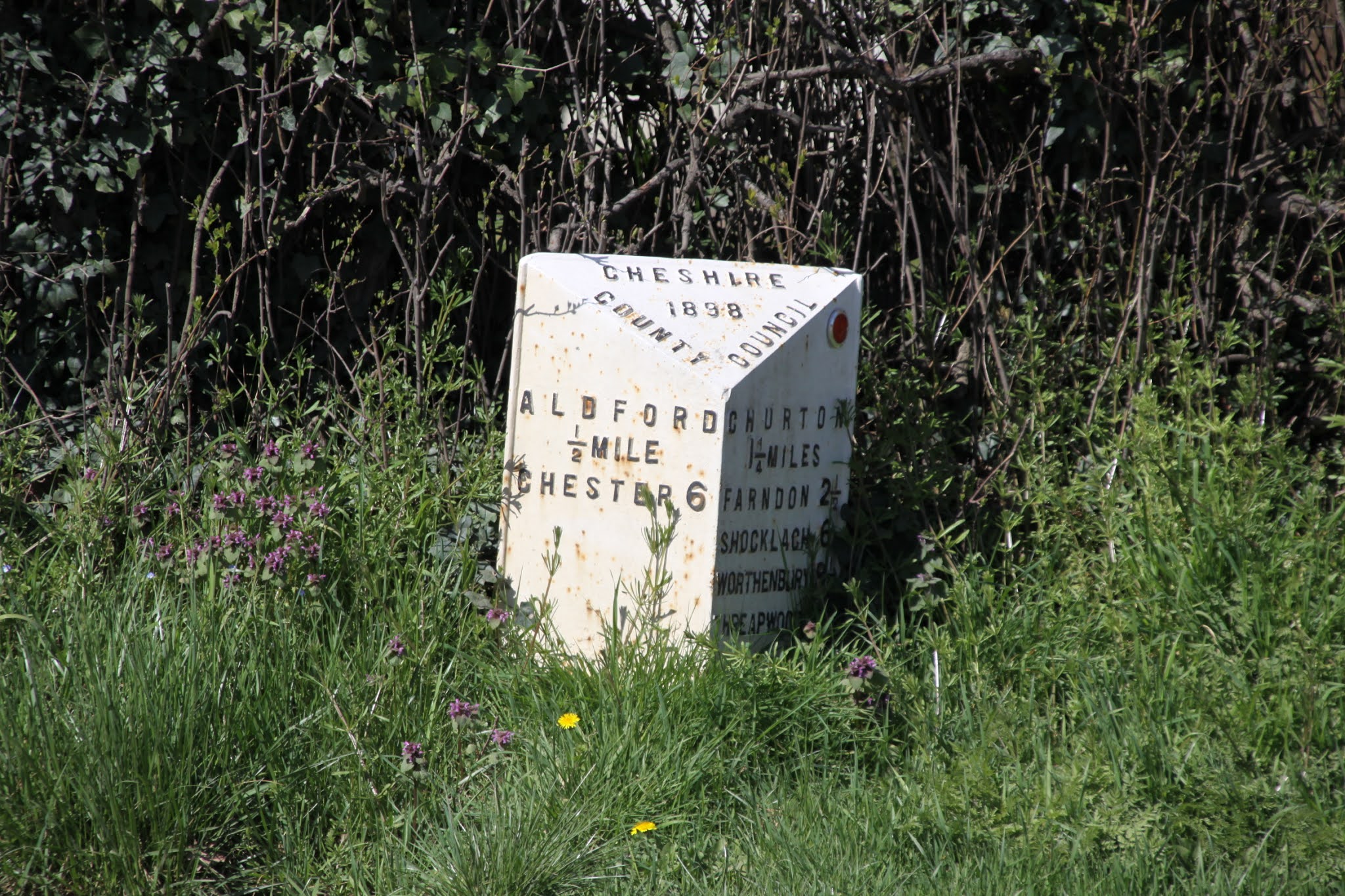
I had noticed a footpath sign whilst delivering My Village News in the eastern section of the village, pointing past the stud farm. So yesterday, on another bright, sunny day I went to investigate the possibilities. It was bitterly cold with a sharp, unforgiving wind, but very beautiful. I hadn’t bothered looking up the footpath on a map, so was just happy to go wherever it went, but was surprised to find myself heading north rather than east, as the footpath took an abrupt left-hand turn in the rough direction of Aldford.
 The north of Churton, and as well as being a picture village with an interesting history (about which there will be details on a future post), has the twin benefits of a village shop and the excellent Grosvenor Arms. Chester Road, that links the two villages with Chester to the north and Farndon to the south, is very busy and there are large stretches with no pavements, so walking along the road is not viable. It had always been my plan to see if there was a footpath through the fields to Aldford, so it was therefore good news that I had found myself on a footpath heading in that direction. Helsby hill was ubiquitous to my right, and eventually the spire of St John\’s church at Aldford came into view.
 Having seen various signs to other footpaths, all clearly officially sponsored by the council, when I returned home I had a scoot around on the Internet and found the Cheshire West and Chester Public Map Viewer, a really invaluable resource for walkers (and horse riders). It showed me where I had erred in my attempt to reach Aldford (ending up at Glebe Farm) and introduced me to the vast network of footpaths that criss-cross the West Cheshire area. Impressive and a promise of great walks to come. I was initially somewhat confused by the repetition of footpath numbers, but you have to check the placename that precedes the number. At first it made me go slightly cross-eyed, but I soon go the idea. I started off on Churton by Alford (CbA) FP1 and turned left into CbA FP4. That segued seamlessly into CbA FP7. I next crossed on to Aldford (A) FP6, which leads via Lower Lane to Aldford. On the return leg, walking back down FP6, I saw that there was a footpath to the left and when I looked it up on the map viewer this was another FP7, but this was an Aldford FP7, not a Churton by Adford FP7. It can be a tad confusing at first. I have circled both on the map to the left, to clarify matters. The red arrows show the route I took.
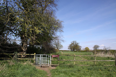
Skirting the edge of fields and through a young patch of woodland, the original path bifurcated, and it became clear that there was a complex network of well-marked paths, with excellent signage provided by Cheshire West. My first route took me on a path that emerged on the main road at Glebe Farm on a section with no pavement, so I retraced my steps and took one of the other branches, which linked to a narrow lane that led to Aldford. A great find. I had had the footpaths almost completely to myself, but the lane was clearly a favoured promenade, with a lot of dog walkers out and about.
 It was a remarkably diverse walk. The fields were all quite different. One was turned over to neat little rows of small saplings, including tiny conifers and fruit trees just coming into blossom. Another, a deep lush green with a baked red track dramatically bisecting it, had clearly been used for growing sweetcorn, as aged husks remained on the track. Desiccated and skeletal remains of last years verges ran along one field, a meter tall. I look forward to identifying them when they emerge later in the year. Farmhouses in the traditional local red brick Grosvenor Estate style looked out over the rolling landscape, and in a dip a large patch of blue water glistened alluringly. A field of ransoms provided a lovely yellow contrast to all the green, brown and blue. In the patches of woodland there were big rabbit sets, and the sunlight filtered through the mainly deciduous bright new leaves, but there were also carpets of pine cones. The walk back, providing a different perspective on things, was equally rewarding. The little patches of woodland, in geometrically precise shapes, were young and presumably planted deliberately, and were small jungles of bright new growth. The further I walked, the more I realized that Cheshire, or at least this western edge of the Cheshire Basin, is not as flat as I had expected it to be. The term “undulating” seems to fit the bill.


Sources:
The footpaths on the walk are shown on the Ordnance Survey maps of the area, but Cheshire West and Chester Council has developed the Cheshire West and Chester Public Map Viewer, a really invaluable resource for walkers (and horse riders). it is free to use, and there is no need to register. On the ribbon at the top of the screen, you can click the + symbol in the ribbon at top left, which gives you a drop-down menu. From the Leisure and Culture tab, you can chose which options you want to display on the map. I chose Bridleways, Footpaths, Restricted Byways and Walking, which gave me the tracks shown on the above map. It is worth playing around with the features to find out how to get the most out of the site.


